Area/Topic  |  Bibliography   |  Background   |  Hypotheses   |  Home


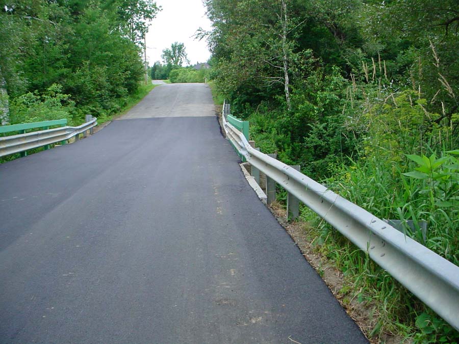
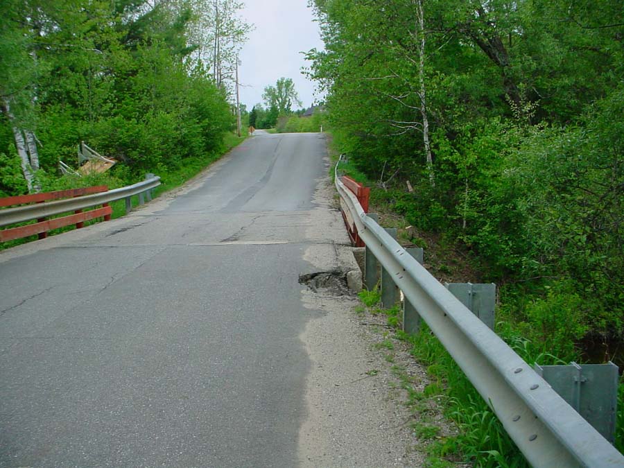
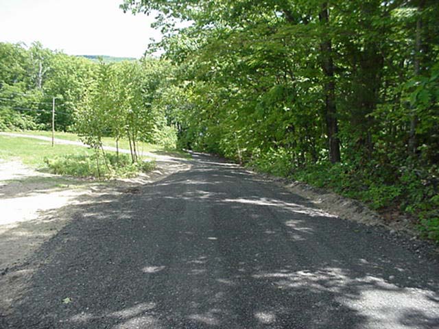
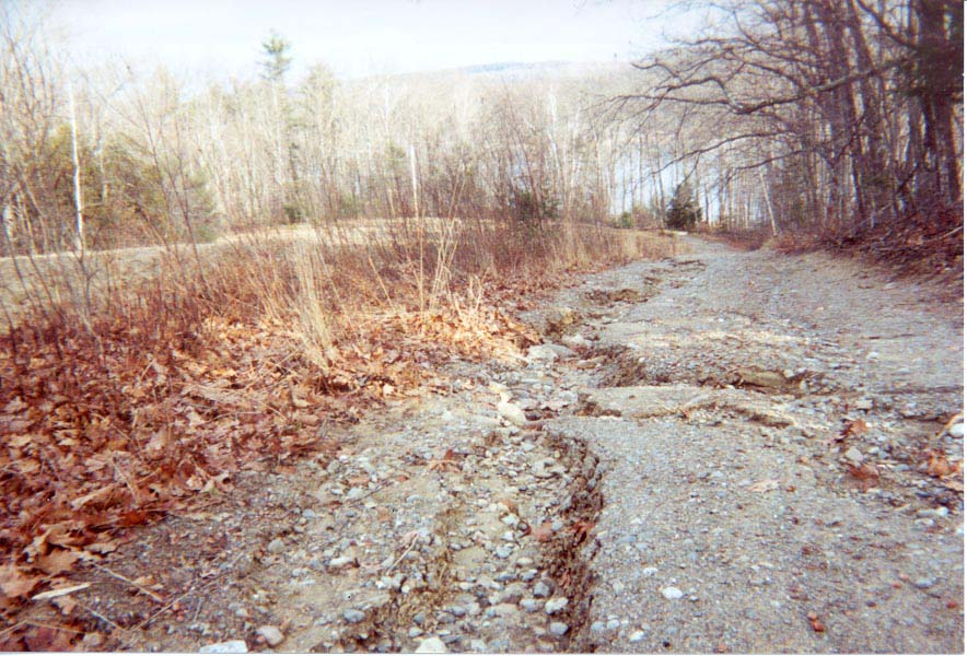
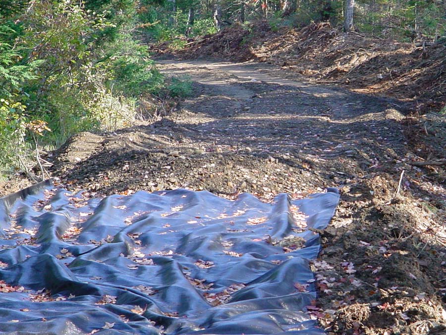
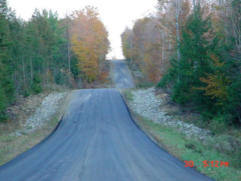
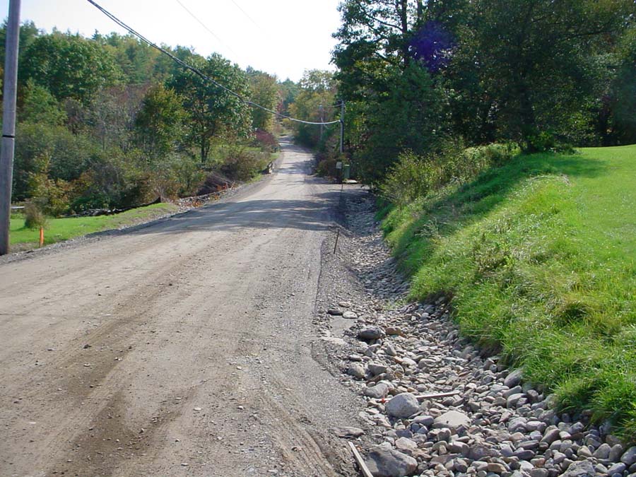
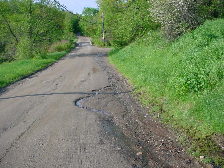
Photo Database Series Restoration- Road Surface Erosion Control Projects

Click on any thumbnail to see a larger photo. For detailed information on these photos click here.

../bw/choate_road_after.jpg + 136 KB   136 KB
To solve the problem, the MDOT replaced the deck on the bridge and hardened the area where water from the deck left the road. Photo by M. Laser August 2004.

../bw/choate_road_before.jpg + 137 KB   137 KB
There are 742 miles of roads in the Sheepscot River watershed which has an area of about 350 square miles. Public roads are maintained by the Maine Department of Transportation or the municipalities, and private roads are maintained by the individuals or road associations. This bridge is located on the Choate Road in Windsor. The Choate Road is a town road but the bridge belongs to MDOT. This photo shows a common issue with bridges in the watershed, erosion off the deck and around the abutments. Photo by M. Laser July 2004.

../bw/dinsmore_lane_after.jpg + 85 KB   85 KB
The landowners formed the Branch Pond Association to pool resources to fix the road. Recycled asphalt was used to harden the road surface. Ditches and turn outs were installed to get water off the road, further reducing the potential for erosion. Photo by M. Laser July 2001.

../bw/dinsmore_lane_before.jpg + 140 KB   140 KB
Dinsmore Lane is a private road in China providing access to Branch Pond camps. As seen in the photo, the road surface was prone to severe erosion due to its slope. Photo by M. Laser October 2000.

../bw/geotextile.jpg + 195 KB   195 KB
This is a photo of geotextile fabric use on a private gravel road in China. The fabric is used to stabilize the road as it prevents surface gravel from sinking into the base material. Photo by M. Laser October 2003.

../bw/martins_woods_road.jpg + 82 KB   82 KB
This is a photo of a major road project on the Martins Woods Road in Palermo. At the base of the steep hill on the road is the West Branch of the Sheepscot River. To reduce erosion, rock line ditches were installed with settling basins which the Town of Palermo cleans out annually. Photo by M. Laser October 2002.

../bw/somerville_road_after.jpg + 162 KB   162 KB
Working with the MDOT for technical advice, the town reduced the slope of the approach to Route 105 by raising the elevation of the road towards the bridge. This also provided an opportunity to establish ditches and settling basins. The road was eventually paved and the ditches have re-vegetated. Photo by M. Laser September 2003.

../bw/somerville_road_before.jpg + 161 KB   161 KB
The Somerville Road in the Town of Somerville was a chronic problem for the town and the river. Lack of ditches and a small but steep approach to Route 105 required the application of extra sand in the winter. Photo by M. Laser June 2003.


  www.krisweb.com