Click on any thumbnail to see a larger photo.
For detailed information on these photos click here.
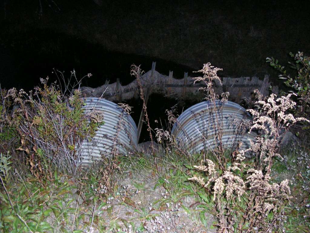
137 KB
This photograph shows the twin culverts where Carlton Brook goes under Highway 218, north of Whitefield, and near where Carlton Brook enters the Sheepscot River. This site is located in the sub-basin. Photograph was taken by Eli Asarian on 10/6/2004.
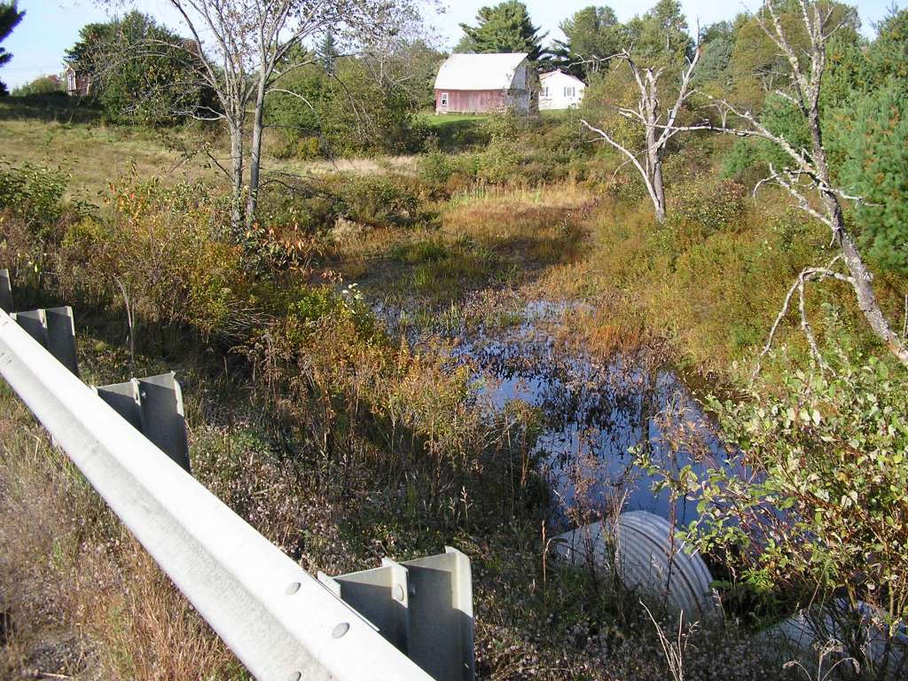
188 KB
This photograph shows Carlton Brook, looking upstream from where it goes under Highway 218. The site is located north of Whitefield, and near where Carlton Brook enters the Sheepscot River. A close-up of the twin culverts is show in the previous photograph. This site is located in the Mainstem Sheepscot sub-basin. Photograph was taken by Eli Asarian on 10/8/2004.
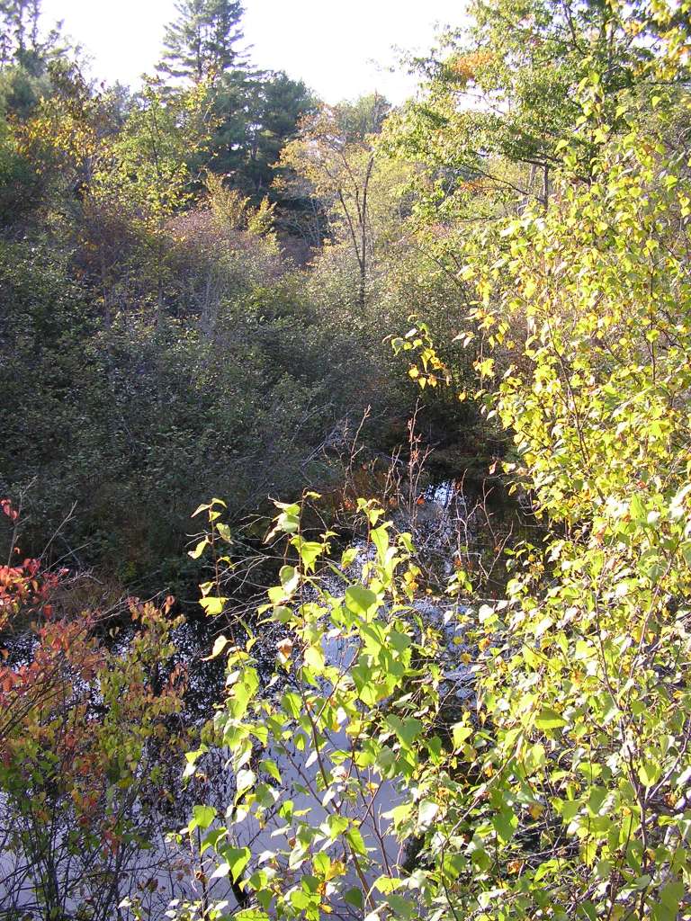
227 KB
This photograph shows Carlton Brook, looking downstream from where it goes under Highway 218. The site is located north of Whitefield, and near where Carlton Brook enters the Sheepscot River. This site is located in the Mainstem Sheepscot sub-basin. Photograph was taken by Eli Asarian on 10/8/2004.
 188 KB
 227 KB