Area/Topic  |  Bibliography   |  Background   |  Hypotheses   |  Home


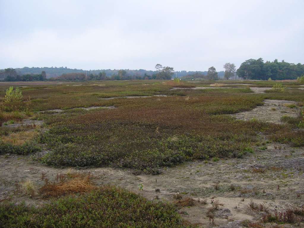
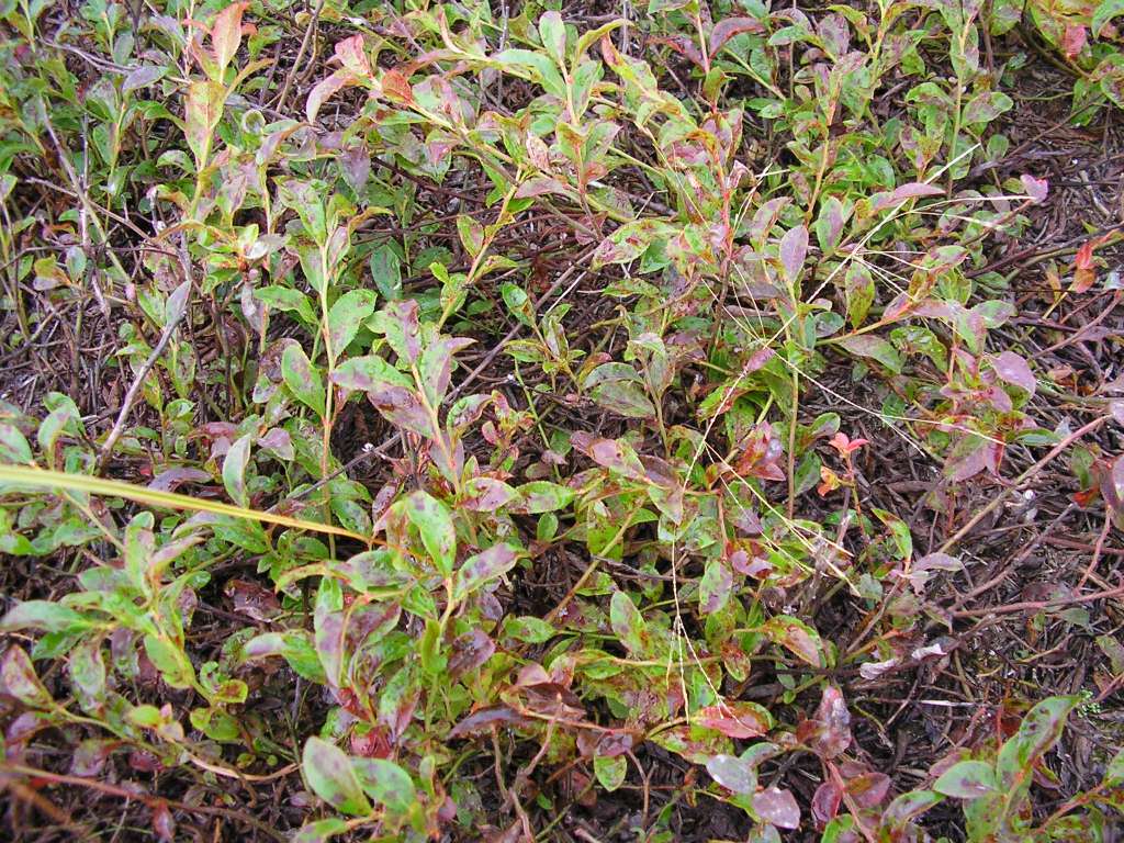
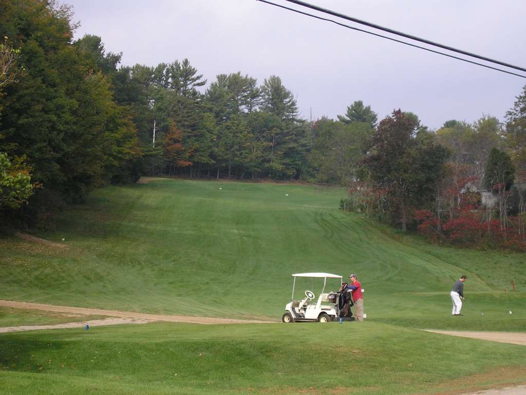
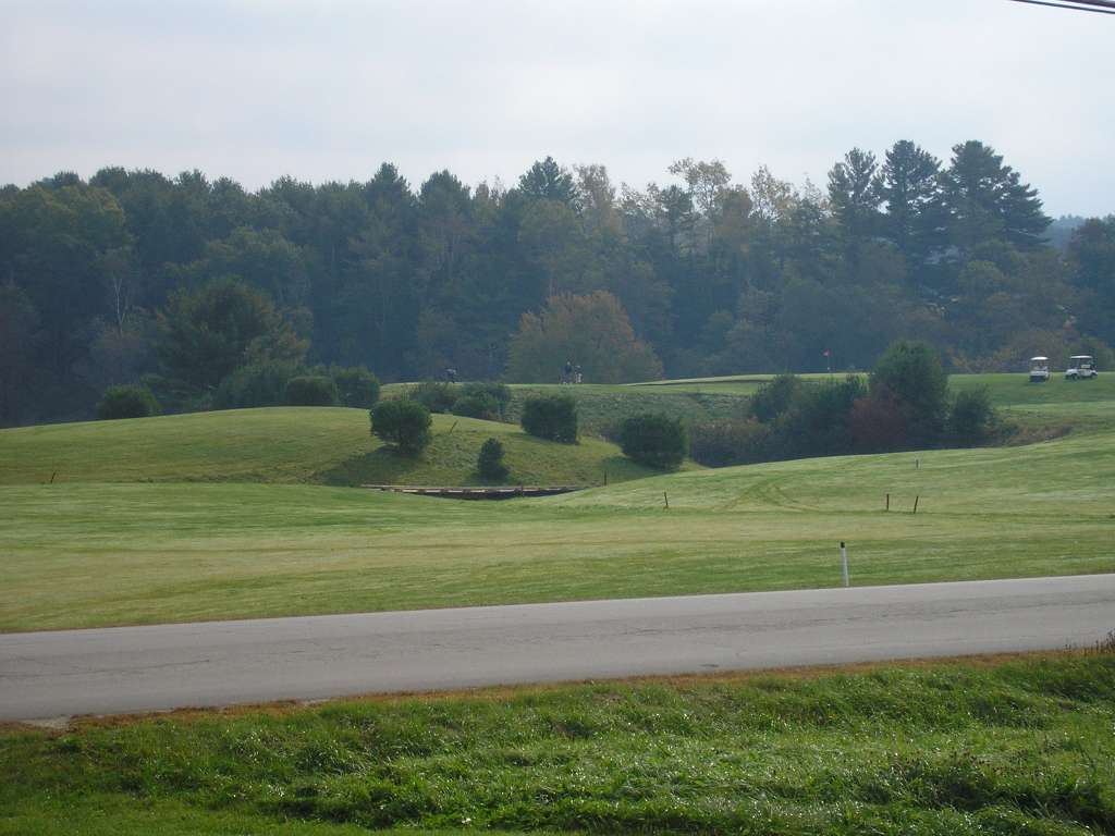
Photo Database Series Tour- Sheepscot R. Head Tide to Whitefield 2004

Click on any thumbnail to see a larger photo. For detailed information on these photos click here.

../sheep_ifr_04/sheep_2004-10-09_06-41-46.jpg + 99 KB   99 KB
This picture was taken from Highway 218 between Head Tide and Whitefield. It shows a blueberry field. This site is located in the Mainstem Sheepscot sub-basin. Photograph was taken by Eli Asarian on 10/9/2004.

../sheep_ifr_04/sheep_2004-10-09_06-42-10.jpg + 199 KB   199 KB
This picture was taken from Highway 218 between Head Tide and Whitefield. It shows a closeup of a blueberry bush. This site is located in the Mainstem Sheepscot sub-basin. Photograph was taken by Eli Asarian on 10/9/2004.

../sheep_ifr_04/sheep_2004-10-09_06-58-43.jpg + 65 KB   65 KB
This photograph shows the Sheepscot Links, a golf course along Highway 218. This site is located in the Mainstem Sheepscot sub-basin. Photograph was taken by Eli Asarian on 10/9/2004.

../sheep_ifr_04/sheep_2004-10-09_06-58-58.jpg + 79 KB   79 KB
This photograph shows the Sheepscot Links, a golf course along Highway 218. This site is located in the Mainstem Sheepscot sub-basin. Photograph was taken by Eli Asarian on 10/9/2004.

../sheep_ifr_04/sheep_2004-10-09_07-00-48.jpg + 74 KB   74 KB
This photograph shows the Sheepscot Links, a golf course along Highway 218. This site is located in the Mainstem Sheepscot sub-basin. Photograph was taken by Eli Asarian on 10/9/2004.

../sheep_ifr_04/sheep_2004-10-09_07-02-25.jpg + 119 KB   119 KB
This photograph shows the Sheepscot Links, a golf course along Highway 218. A detention pond was installed to control storm runoff. This site is located in the Mainstem Sheepscot sub-basin. Photograph was taken by Eli Asarian on 10/9/2004.

../sheep_ifr_04/sheep_2004-10-09_07-11-55.jpg + 57 KB   57 KB
This photograph shows the a farm scene, taken from along Highway 218 between Head Tide and Whitefield. This site is located in the Mainstem Sheepscot sub-basin. Photograph was taken by Eli Asarian on 10/9/2004.

../sheep_ifr_04/sheep_2004-10-09_07-12-04.jpg + 78 KB   78 KB
This photograph shows the a farm scene, taken from along Highway 218 between Head Tide and Whitefield. This site is located in the Mainstem Sheepscot sub-basin. Photograph was taken by Eli Asarian on 10/9/2004.


  www.krisweb.com