Photo Database Series Tour- West Br. Sheepscot at Howe Rd 2004
Click on any thumbnail to see a larger photo.
For detailed information on these photos click here.
148 KB
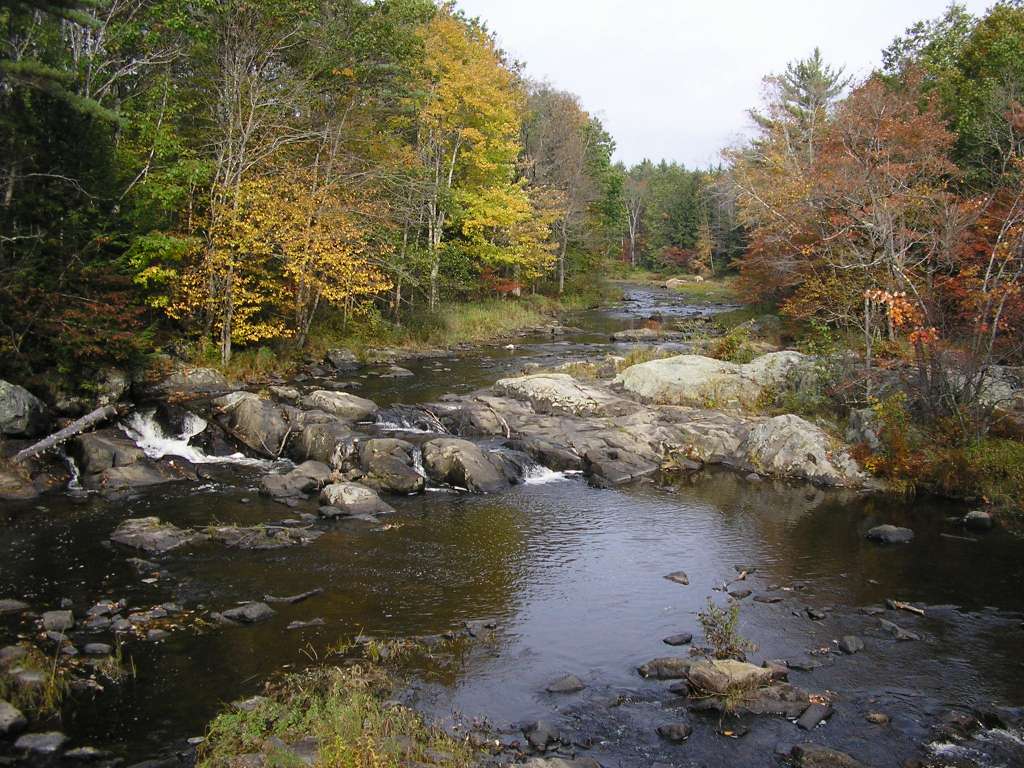
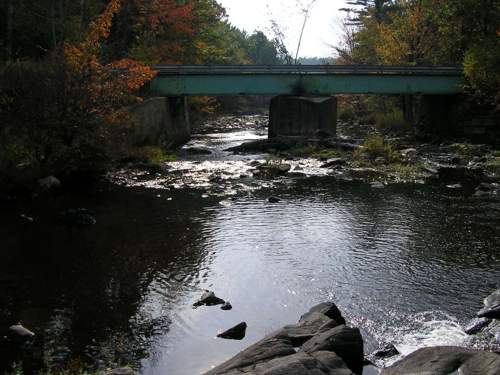
This photograph shows the West Branch Sheepscot River where it cross under Howe Road (several hundred meters upstream from the confluence with the mainstem Sheepscot) looking upstream. This site is a long-term Atlantic Salmon Commission electrofishing monitoring station This site is located in the West Branch Sheepscot sub-basin. Photograph was taken by Eli Asarian on 10/9/2004.
129 KB
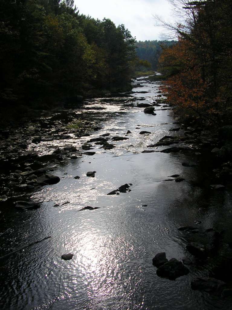
This photograph shows the West Branch Sheepscot River where it cross under Howe Road (several hundred meters upstream from the confluence with the mainstem Sheepscot), looking downstream. This site is located in the West Branch Sheepscot sub-basin. Photograph was taken by Eli Asarian on 10/9/2004.
202 KB
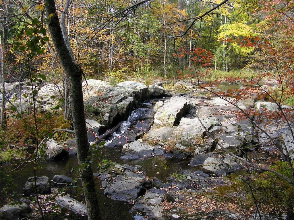
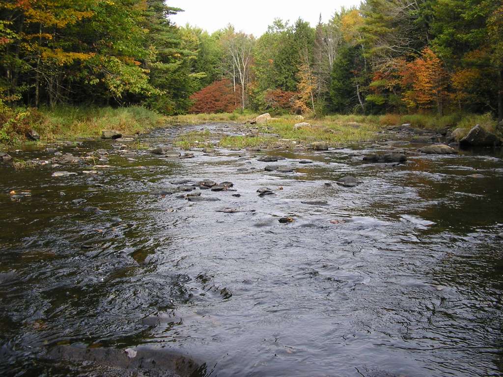
This photograph shows the West Branch Sheepscot River upstream from Howe Road (several hundred meters upstream from the confluence with the mainstem Sheepscot). This site is located in the West Branch Sheepscot sub-basin. Photograph was taken by Eli Asarian on 10/9/2004.
152 KB
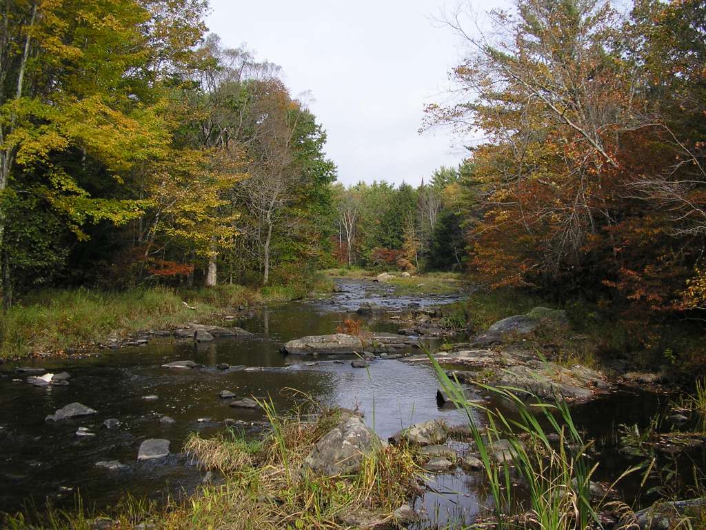
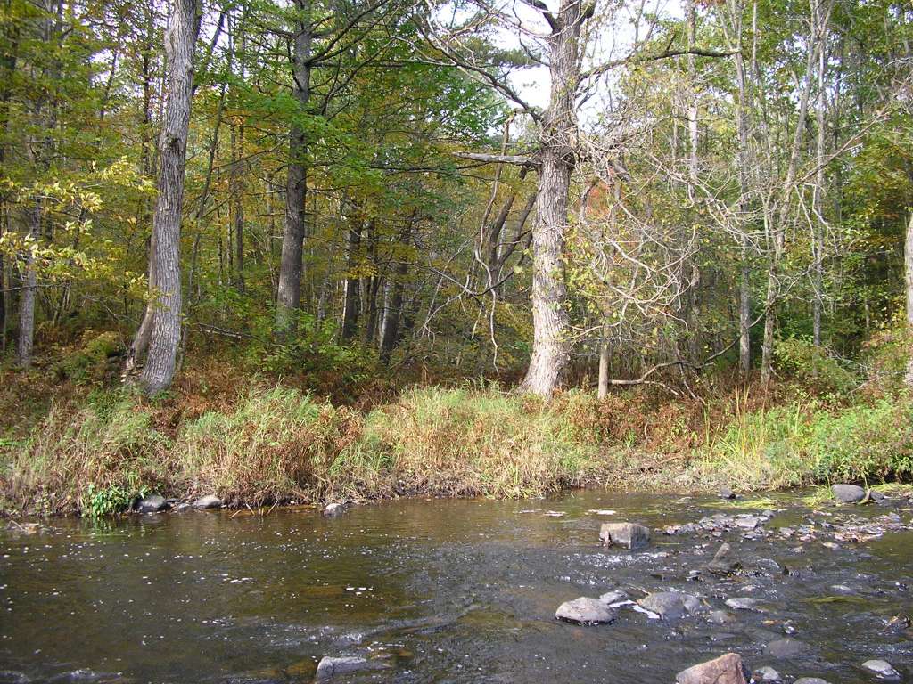
This photograph shows the West Branch Sheepscot River upstream from Howe Road (several hundred meters upstream from the confluence with the mainstem Sheepscot). This site is a long-term Atlantic Salmon Commission electrofishing monitoring station This site is located in the West Branch Sheepscot sub-basin. Photograph was taken by Eli Asarian on 10/9/2004.
131 KB
This photograph shows the West Branch Sheepscot River upstream from Howe Road (several hundred meters upstream from the confluence with the mainstem Sheepscot). This site is a long-term Atlantic Salmon Commission electrofishing monitoring station This site is located in the West Branch Sheepscot sub-basin. Photograph was taken by Eli Asarian on 10/9/2004.
160 KB
This photograph shows the West Branch Sheepscot River upstream from Howe Road (several hundred meters upstream from the confluence with the mainstem Sheepscot). This site is a long-term Atlantic Salmon Commission electrofishing monitoring station This site is located in the West Branch Sheepscot sub-basin. Photograph was taken by Eli Asarian on 10/9/2004.
198 KB
This photograph shows the West Branch Sheepscot River upstream from Howe Road (several hundred meters upstream from the confluence with the mainstem Sheepscot). This site is a long-term Atlantic Salmon Commission electrofishing monitoring station This site is located in the West Branch Sheepscot sub-basin. Photograph was taken by Eli Asarian on 10/9/2004.
 129 KB
 202 KB
 152 KB
 131 KB
 160 KB
 198 KB