| Hyperlink |
Agency |
Basin |
Bearing Direction |
Caption |
CaptionTemplate |
Category |
Datum_Zone |
Description |
ExtraField1 |
ExtraField2 |
Filename |
Filesize |
Funder |
GIS_Project |
Graphic |
Hotlinkfield |
KRIS_Hotlink |
Latitud_DD |
Longit_DD |
Meta_Id |
Miscellaneous_Notes |
Notefile |
Path |
Photo Number |
Photodate |
Photographer |
ProjectLocation |
ProjectName |
Restriction |
Series |
Shapefile |
Site_Name |
Site_Type |
Streamname |
SubBasin |
Time |
UTM_E |
UTM_N |
UpdateDate |
UpdateName |
Watershed |
|
View
|
-- |
Sheepscot |
-- |
Bedrock nick points are prevalent throughout the watershed. This is what one looks like from the air. Photo by Bridget Besaw Gorman (www.bridgetbesawgorman.com) September and October 2004. |
[Description] |
Aerial Photos |
-- |
Bedrock nick points are prevalent throughout the watershed. This is what one looks like from the air. Photo by Bridget Besaw Gorman (www.bridgetbesawgorman.com) September and October 2004. |
-- |
-- |
sheepscot_aerials_2004_bedrock.jpg |
265733 |
-- |
-- |
-- |
-- |
-- |
-- |
-- |
KCSWCD_pics |
-- |
sheepscot.htm#KCSWCD_pics |
bw/sheepscot_aerials_2004_bedrock.jpg |
-- |
-- |
-- |
-- |
-- |
-- |
Aerial Photos- Sheepscot Watershed 2004 |
-- |
-- |
-- |
-- |
Basinwide / Regional |
-- |
-- |
-- |
-- |
-- |
-- |
|
View
|
-- |
Sheepscot |
-- |
Branch Pond is located in the upper West Branch. This photo is taken south of the outlet looking north at the pond. The top of the Dinsmore Mill can be seen in the center of the photograph. The West Branch outlets the lake directly underneath the mill building. Photo by Bridget Besaw Gorman (www.bridgetbesawgorman.com) October 2004. |
[Description] |
Aerial Photos |
-- |
Branch Pond is located in the upper West Branch. This photo is taken south of the outlet looking north at the pond. The top of the Dinsmore Mill can be seen in the center of the photograph. The West Branch outlets the lake directly underneath the mill building. Photo by Bridget Besaw Gorman (www.bridgetbesawgorman.com) October 2004. |
-- |
-- |
sheepscot_aerials_2004_branch_pond.jpg |
194321 |
-- |
-- |
-- |
-- |
-- |
-- |
-- |
KCSWCD_pics |
-- |
sheepscot.htm#KCSWCD_pics |
bw/sheepscot_aerials_2004_branch_pond.jpg |
-- |
-- |
-- |
-- |
-- |
-- |
Aerial Photos- Sheepscot Watershed 2004 |
-- |
-- |
-- |
-- |
Basinwide / Regional |
-- |
-- |
-- |
-- |
-- |
-- |
|
View
|
-- |
Sheepscot |
-- |
The Sheepscot River has several areas that lack riparian buffers. This reach is located in Whitefield. Photo by Bridget Besaw Gorman (www.bridgetbesawgorman.com) September 2004. |
[Description] |
Aerial Photos |
-- |
The Sheepscot River has several areas that lack riparian buffers. This reach is located in Whitefield. Photo by Bridget Besaw Gorman (www.bridgetbesawgorman.com) September 2004. |
-- |
-- |
sheepscot_aerials_2004_field.jpg |
170891 |
-- |
-- |
-- |
-- |
-- |
-- |
-- |
KCSWCD_pics |
-- |
sheepscot.htm#KCSWCD_pics |
bw/sheepscot_aerials_2004_field.jpg |
-- |
-- |
-- |
-- |
-- |
-- |
Aerial Photos- Sheepscot Watershed 2004 |
-- |
-- |
-- |
-- |
Basinwide / Regional |
-- |
-- |
-- |
-- |
-- |
-- |
|
View
|
-- |
Sheepscot |
-- |
The Head Tide Dam is a fixture in the town of Alna. This photo taken north of the dam looking south shows a perspective few get to see. Photo by Bridget Besaw Gorman (www.bridgetbesawgorman.com) September 2004. |
[Description] |
Aerial Photos |
-- |
The Head Tide Dam is a fixture in the town of Alna. This photo taken north of the dam looking south shows a perspective few get to see. Photo by Bridget Besaw Gorman (www.bridgetbesawgorman.com) September 2004. |
-- |
-- |
sheepscot_aerials_2004_head_tide.jpg |
128232 |
-- |
-- |
-- |
-- |
-- |
-- |
-- |
KCSWCD_pics |
-- |
sheepscot.htm#KCSWCD_pics |
bw/sheepscot_aerials_2004_head_tide.jpg |
-- |
-- |
-- |
-- |
-- |
-- |
Aerial Photos- Sheepscot Watershed 2004 |
-- |
-- |
-- |
-- |
Basinwide / Regional |
-- |
-- |
-- |
-- |
-- |
-- |
|
View
|
-- |
Sheepscot |
-- |
Kings Mills looks like a postcard on this fine October day with the church and the trees still holding onto some of their color throwing shadows across the Sheepscot. Photo by Bridget Besaw Gorman (www.bridgetbesawgorman.com) October 2004. |
[Description] |
Aerial Photos |
-- |
Kings Mills looks like a postcard on this fine October day with the church and the trees still holding onto some of their color throwing shadows across the Sheepscot. Photo by Bridget Besaw Gorman (www.bridgetbesawgorman.com) October 2004. |
-- |
-- |
sheepscot_aerials_2004_kings_mills.jpg |
147283 |
-- |
-- |
-- |
-- |
-- |
-- |
-- |
KCSWCD_pics |
-- |
sheepscot.htm#KCSWCD_pics |
bw/sheepscot_aerials_2004_kings_mills.jpg |
-- |
-- |
-- |
-- |
-- |
-- |
Aerial Photos- Sheepscot Watershed 2004 |
-- |
-- |
-- |
-- |
Basinwide / Regional |
-- |
-- |
-- |
-- |
-- |
-- |
|
View
|
-- |
Sheepscot |
-- |
A little further up river and located on the West Branch, this photo of Maxcys Mills shows a similar pattern of development. Photo by Bridget Besaw Gorman (www.bridgetbesawgorman.com) September 2004. |
[Description] |
Aerial Photos |
-- |
A little further up river and located on the West Branch, this photo of Maxcys Mills shows a similar pattern of development. Photo by Bridget Besaw Gorman (www.bridgetbesawgorman.com) September 2004. |
-- |
-- |
sheepscot_aerials_2004_maxcys_mill.jpg |
176038 |
-- |
-- |
-- |
-- |
-- |
-- |
-- |
KCSWCD_pics |
-- |
sheepscot.htm#KCSWCD_pics |
bw/sheepscot_aerials_2004_maxcys_mill.jpg |
-- |
-- |
-- |
-- |
-- |
-- |
Aerial Photos- Sheepscot Watershed 2004 |
-- |
-- |
-- |
-- |
Basinwide / Regional |
-- |
-- |
-- |
-- |
-- |
-- |
|
View
|
-- |
Sheepscot |
-- |
North Whitefield is an example of a village in the watershed. The major road is Rte 126. The photo also provides a good example of the land use pattern that is prevalent in the watershed. Photo by Bridget Besaw Gorman (www.bridgetbesawgorman.com) September 2004. |
[Description] |
Aerial Photos |
-- |
North Whitefield is an example of a village in the watershed. The major road is Rte 126. The photo also provides a good example of the land use pattern that is prevalent in the watershed. Photo by Bridget Besaw Gorman (www.bridgetbesawgorman.com) September 2004. |
-- |
-- |
sheepscot_aerials_2004_rte126.jpg |
165262 |
-- |
-- |
-- |
-- |
-- |
-- |
-- |
KCSWCD_pics |
-- |
sheepscot.htm#KCSWCD_pics |
bw/sheepscot_aerials_2004_rte126.jpg |
-- |
-- |
-- |
-- |
-- |
-- |
Aerial Photos- Sheepscot Watershed 2004 |
-- |
-- |
-- |
-- |
Basinwide / Regional |
-- |
-- |
-- |
-- |
-- |
-- |
|
View
|
-- |
Sheepscot |
-- |
Sheepscot Village is where the Dyer River (left of the photo) joins the Sheepscot. The famous Reversing Falls can be seen below the bridge on the main stem, an area that draws kayakers to the almost constant waves formed by a combination of tides and ledges. Photo by Bridget Besaw Gorman (www.bridgetbesawgorman.com) September 2004. |
[Description] |
Aerial Photos |
-- |
Sheepscot Village is where the Dyer River (left of the photo) joins the Sheepscot. The famous Reversing Falls can be seen below the bridge on the main stem, an area that draws kayakers to the almost constant waves formed by a combination of tides and ledges. Photo by Bridget Besaw Gorman (www.bridgetbesawgorman.com) September 2004. |
-- |
-- |
sheepscot_aerials_2004_sheepscot_village.jpg |
149041 |
-- |
-- |
-- |
-- |
-- |
-- |
-- |
KCSWCD_pics |
-- |
sheepscot.htm#KCSWCD_pics |
bw/sheepscot_aerials_2004_sheepscot_village.jpg |
-- |
-- |
-- |
-- |
-- |
-- |
Aerial Photos- Sheepscot Watershed 2004 |
-- |
-- |
-- |
-- |
Basinwide / Regional |
-- |
-- |
-- |
-- |
-- |
-- |
|
View
|
Institute for Fisheries Resources |
Sheepscot |
-- |
This photo shows the Cooper Mills Dam. This site is located in the Upper Sheepscot sub-basin. Photograph was taken by Eli Asarian on 10/9/2004. |
[description] This site is located in the [SubBasin] sub-basin. Photograph was taken by [photographer] on [photodate]. |
Watershed Tour |
-- |
This photo shows the Cooper Mills Dam. |
-- |
-- |
sheep_2004-10-09_08-32-06.jpg |
172446 |
-- |
-- |
-- |
-- |
-- |
-- |
-- |
-- |
-- |
-- |
sheep_ifr_04\sheep_2004-10-09_08-32-06.jpg |
-- |
10/9/2004 |
Eli Asarian |
-- |
-- |
None |
Dam- Coopers Mills Dam 2004 |
-- |
-- |
-- |
-- |
Upper Sheepscot |
-- |
-- |
-- |
10/20/2004 |
JEA |
-- |
|
View
|
Institute for Fisheries Resources |
Sheepscot |
-- |
a scene from the Sheepscot River watershed This site is located in the Upper Sheepscot sub-basin. Photograph was taken by Eli Asarian on 10/9/2004. |
[description] This site is located in the [SubBasin] sub-basin. Photograph was taken by [photographer] on [photodate]. |
Watershed Tour |
-- |
a scene from the Sheepscot River watershed |
-- |
-- |
sheep_2004-10-09_08-32-32.jpg |
144107 |
-- |
-- |
-- |
-- |
-- |
-- |
-- |
-- |
-- |
-- |
sheep_ifr_04\sheep_2004-10-09_08-32-32.jpg |
-- |
10/9/2004 |
Eli Asarian |
-- |
-- |
None |
Dam- Coopers Mills Dam 2004 |
-- |
-- |
-- |
-- |
Upper Sheepscot |
-- |
-- |
-- |
10/20/2004 |
JEA |
-- |
|
View
|
Institute for Fisheries Resources |
Sheepscot |
-- |
This photo shows the Cooper Mills Dam. This site is located in the Upper Sheepscot sub-basin. Photograph was taken by Eli Asarian on 10/9/2004. |
[description] This site is located in the [SubBasin] sub-basin. Photograph was taken by [photographer] on [photodate]. |
Watershed Tour |
-- |
This photo shows the Cooper Mills Dam. |
-- |
-- |
sheep_2004-10-09_08-32-46.jpg |
124256 |
-- |
-- |
-- |
-- |
-- |
-- |
-- |
-- |
-- |
-- |
sheep_ifr_04\sheep_2004-10-09_08-32-46.jpg |
-- |
10/9/2004 |
Eli Asarian |
-- |
-- |
None |
Dam- Coopers Mills Dam 2004 |
-- |
-- |
-- |
-- |
Upper Sheepscot |
-- |
-- |
-- |
10/20/2004 |
JEA |
-- |
|
View
|
Institute for Fisheries Resources |
Sheepscot |
-- |
This photo shows the Cooper Mills Dam. This site is located in the Upper Sheepscot sub-basin. Photograph was taken by Eli Asarian on 10/9/2004. |
[description] This site is located in the [SubBasin] sub-basin. Photograph was taken by [photographer] on [photodate]. |
Watershed Tour |
-- |
This photo shows the Cooper Mills Dam. |
-- |
-- |
sheep_2004-10-09_08-34-39.jpg |
169776 |
-- |
-- |
-- |
-- |
-- |
-- |
-- |
-- |
-- |
-- |
sheep_ifr_04\sheep_2004-10-09_08-34-39.jpg |
-- |
10/9/2004 |
Eli Asarian |
-- |
-- |
None |
Dam- Coopers Mills Dam 2004 |
-- |
-- |
-- |
-- |
Upper Sheepscot |
-- |
-- |
-- |
10/20/2004 |
JEA |
-- |
|
View
|
Institute for Fisheries Resources |
Sheepscot |
-- |
This photo shows the Cooper Mills Dam. This site is located in the Upper Sheepscot sub-basin. Photograph was taken by Eli Asarian on 10/9/2004. |
[description] This site is located in the [SubBasin] sub-basin. Photograph was taken by [photographer] on [photodate]. |
Watershed Tour |
-- |
This photo shows the Cooper Mills Dam. |
-- |
-- |
sheep_2004-10-09_08-35-06.jpg |
182169 |
-- |
-- |
-- |
-- |
-- |
-- |
-- |
-- |
-- |
-- |
sheep_ifr_04\sheep_2004-10-09_08-35-06.jpg |
-- |
10/9/2004 |
Eli Asarian |
-- |
-- |
None |
Dam- Coopers Mills Dam 2004 |
-- |
-- |
-- |
-- |
Upper Sheepscot |
-- |
-- |
-- |
10/20/2004 |
JEA |
-- |
|
View
|
Institute for Fisheries Resources |
Sheepscot |
-- |
This photo shows the Cooper Mills Dam. This site is located in the Upper Sheepscot sub-basin. Photograph was taken by Eli Asarian on 10/9/2004. |
[description] This site is located in the [SubBasin] sub-basin. Photograph was taken by [photographer] on [photodate]. |
Watershed Tour |
-- |
This photo shows the Cooper Mills Dam. |
-- |
-- |
sheep_2004-10-09_08-36-35.jpg |
170812 |
-- |
-- |
-- |
-- |
-- |
-- |
-- |
-- |
-- |
-- |
sheep_ifr_04\sheep_2004-10-09_08-36-35.jpg |
-- |
10/9/2004 |
Eli Asarian |
-- |
-- |
None |
Dam- Coopers Mills Dam 2004 |
-- |
-- |
-- |
-- |
Upper Sheepscot |
-- |
-- |
-- |
10/20/2004 |
JEA |
-- |
|
View
|
Institute for Fisheries Resources |
Sheepscot |
-- |
This photo shows the Cooper Mills Dam. This site is located in the Upper Sheepscot sub-basin. Photograph was taken by Eli Asarian on 10/9/2004. |
[description] This site is located in the [SubBasin] sub-basin. Photograph was taken by [photographer] on [photodate]. |
Watershed Tour |
-- |
This photo shows the Cooper Mills Dam. |
-- |
-- |
sheep_2004-10-09_08-37-00.jpg |
166661 |
-- |
-- |
-- |
-- |
-- |
-- |
-- |
-- |
-- |
-- |
sheep_ifr_04\sheep_2004-10-09_08-37-00.jpg |
-- |
10/9/2004 |
Eli Asarian |
-- |
-- |
None |
Dam- Coopers Mills Dam 2004 |
-- |
-- |
-- |
-- |
Upper Sheepscot |
-- |
-- |
-- |
10/20/2004 |
JEA |
-- |
|
View
|
Institute for Fisheries Resources |
Sheepscot |
-- |
This photo shows the Cooper Mills Dam. This site is located in the Upper Sheepscot sub-basin. Photograph was taken by Eli Asarian on 10/9/2004. |
[description] This site is located in the [SubBasin] sub-basin. Photograph was taken by [photographer] on [photodate]. |
Watershed Tour |
-- |
This photo shows the Cooper Mills Dam. |
-- |
-- |
sheep_2004-10-09_08-38-14.jpg |
131083 |
-- |
-- |
-- |
-- |
-- |
-- |
-- |
-- |
-- |
-- |
sheep_ifr_04\sheep_2004-10-09_08-38-14.jpg |
-- |
10/9/2004 |
Eli Asarian |
-- |
-- |
None |
Dam- Coopers Mills Dam 2004 |
-- |
-- |
-- |
-- |
Upper Sheepscot |
-- |
-- |
-- |
10/20/2004 |
JEA |
-- |
|
View
|
-- |
Sheepscot |
-- |
This is a photo of the Cooper's Mill Dam on main stem of the Sheepscot River taken in May 2002. This photo is taken looking upstream from the bridge in Cooper's Mills Village. Picture taken by M. Laser. |
[Description] |
Dams |
-- |
This is a photo of the Cooper's Mill Dam on main stem of the Sheepscot River taken in May 2002. This photo is taken looking upstream from the bridge in Cooper's Mills Village. Picture taken by M. Laser. |
-- |
-- |
coopersmills2.jpg |
492222 |
-- |
-- |
-- |
-- |
-- |
-- |
-- |
KCSWCD_pics |
-- |
sheepscot.htm#KCSWCD_pics |
bw/coopersmills2.jpg |
-- |
-- |
Melissa Laser |
-- |
-- |
-- |
Dams- Sheepscot R. Watershed Dams |
-- |
-- |
-- |
-- |
Basinwide / Regional |
-- |
-- |
-- |
-- |
-- |
-- |
|
View
|
-- |
Sheepscot |
-- |
This is a photo of the dam at the outlet of Dyer Long Pond taken in April 2004. Note the fish ladder to the right of the picture. The dam structure is out of site below the bridge. Picture taken by M. Laser. |
[Description] |
Dams |
-- |
This is a photo of the dam at the outlet of Dyer Long Pond taken in April 2004. Note the fish ladder to the right of the picture. The dam structure is out of site below the bridge. Picture taken by M. Laser. |
-- |
-- |
dr_dam_2.jpg |
351870 |
-- |
-- |
-- |
-- |
-- |
-- |
-- |
KCSWCD_pics |
-- |
sheepscot.htm#KCSWCD_pics |
bw/dr_dam_2.jpg |
-- |
-- |
Melissa Laser |
-- |
-- |
-- |
Dams- Sheepscot R. Watershed Dams |
-- |
-- |
-- |
-- |
Basinwide / Regional |
-- |
-- |
-- |
-- |
-- |
-- |
|
View
|
-- |
Sheepscot |
-- |
This is a photo of the Dinsmore Mill building over the West Branch of the Sheepscot River taken in April 2002. The mill is located in Branch Mills Village. The river flows under the building. Picture taken by M. Laser. |
[Description] |
Dams |
-- |
This is a photo of the Dinsmore Mill building over the West Branch of the Sheepscot River taken in April 2002. The mill is located in Branch Mills Village. The river flows under the building. Picture taken by M. Laser. |
-- |
-- |
gristmill1.jpg |
31022 |
-- |
-- |
-- |
-- |
-- |
-- |
-- |
KCSWCD_pics |
-- |
sheepscot.htm#KCSWCD_pics |
bw/gristmill1.jpg |
-- |
-- |
Melissa Laser |
-- |
-- |
-- |
Dams- Sheepscot R. Watershed Dams |
-- |
-- |
-- |
-- |
Basinwide / Regional |
-- |
-- |
-- |
-- |
-- |
-- |
|
View
|
-- |
Sheepscot |
-- |
This is a photo of the Head Tide Dam on the Sheepscot River taken in April 2004. The dam is located in the Town of Alna at the Head of Tide. Picture taken by M. Laser. |
[Description] |
Dams |
-- |
This is a photo of the Head Tide Dam on the Sheepscot River taken in April 2004. The dam is located in the Town of Alna at the Head of Tide. Picture taken by M. Laser. |
-- |
-- |
htd_3_4-19-04.jpg |
106010 |
-- |
-- |
-- |
-- |
-- |
-- |
-- |
KCSWCD_pics |
-- |
sheepscot.htm#KCSWCD_pics |
bw/htd_3_4-19-04.jpg |
-- |
-- |
Melissa Laser |
-- |
-- |
-- |
Dams- Sheepscot R. Watershed Dams |
-- |
-- |
-- |
-- |
Basinwide / Regional |
-- |
-- |
-- |
-- |
-- |
-- |
|
View
|
-- |
Sheepscot |
-- |
This is a photo of an old rock structure on the West Branch of the Sheepscot River in China taken in August 2002. This photo was taken just below the Iron Bridge crossing. Picture taken by M. Laser. |
[Description] |
Dams |
-- |
This is a photo of an old rock structure on the West Branch of the Sheepscot River in China taken in August 2002. This photo was taken just below the Iron Bridge crossing. Picture taken by M. Laser. |
-- |
-- |
old_pullen_dam.jpg |
563384 |
-- |
-- |
-- |
-- |
-- |
-- |
-- |
KCSWCD_pics |
-- |
sheepscot.htm#KCSWCD_pics |
bw/old_pullen_dam.jpg |
-- |
-- |
Melissa Laser |
-- |
-- |
-- |
Dams- Sheepscot R. Watershed Dams |
-- |
-- |
-- |
-- |
Basinwide / Regional |
-- |
-- |
-- |
-- |
-- |
-- |
|
View
|
-- |
Sheepscot |
-- |
The Sheepscot River Watershed Council worked with Wiscasset High School to build a kiosk for the Head Tide Dam parking lot. The MASC assisted with the installation of the kiosk. The kiosk provides information to passersby about Atlantic salmon, the smolt trap which is located at the site in the spring, the dam, and watershed organizations. Photo by M. Laser August 2001. |
[Description] |
Education |
-- |
The Sheepscot River Watershed Council worked with Wiscasset High School to build a kiosk for the Head Tide Dam parking lot. The MASC assisted with the installation of the kiosk. The kiosk provides information to passersby about Atlantic salmon, the smolt trap which is located at the site in the spring, the dam, and watershed organizations. Photo by M. Laser August 2001. |
-- |
-- |
completed_kiosk.jpg |
58161 |
-- |
-- |
-- |
-- |
-- |
-- |
-- |
COMBO_pics |
-- |
sheepscot.htm#COMBO_pics |
bw/completed_kiosk.jpg |
-- |
-- |
Melissa Laser |
-- |
-- |
-- |
Education- Outreach Efforts in the Watershed 2000-04 |
-- |
-- |
-- |
-- |
Basinwide / Regional |
-- |
-- |
-- |
-- |
-- |
-- |
|
View
|
-- |
Sheepscot |
-- |
An outreach tool often employed in the watershed is to engage students in restoration efforts. Here an Erskine Academy student shows students from Windsor Elementary how to plant a tree. Photo by M. Laser May 2000. |
[Description] |
Education |
-- |
An outreach tool often employed in the watershed is to engage students in restoration efforts. Here an Erskine Academy student shows students from Windsor Elementary how to plant a tree. Photo by M. Laser May 2000. |
-- |
-- |
erskine1.jpg |
53164 |
-- |
-- |
-- |
-- |
-- |
-- |
-- |
COMBO_pics |
-- |
sheepscot.htm#COMBO_pics |
bw/erskine1.jpg |
-- |
-- |
Melissa Laser |
-- |
-- |
-- |
Education- Outreach Efforts in the Watershed 2000-04 |
-- |
-- |
-- |
-- |
Basinwide / Regional |
-- |
-- |
-- |
-- |
-- |
-- |
|
View
|
-- |
Sheepscot |
-- |
It is not just the public that watershed organizations attempt to reach with outreach efforts. A National Academy of Science tour stops to talk about non-point pollution issues at a bridge in Whitefield. Photo by E. Baum 2002. |
[Description] |
Education |
-- |
It is not just the public that watershed organizations attempt to reach with outreach efforts. A National Academy of Science tour stops to talk about non-point pollution issues at a bridge in Whitefield. Photo by E. Baum 2002. |
-- |
-- |
nas_sheep1.jpg |
27628 |
-- |
-- |
-- |
-- |
-- |
-- |
-- |
COMBO_pics |
-- |
sheepscot.htm#COMBO_pics |
bw/nas_sheep1.jpg |
-- |
-- |
-- |
-- |
-- |
-- |
Education- Outreach Efforts in the Watershed 2000-04 |
-- |
-- |
-- |
-- |
Basinwide / Regional |
-- |
-- |
-- |
-- |
-- |
-- |
|
View
|
-- |
Sheepscot |
-- |
NASCO also spent some time to better understand the issues in the watershed. Here they talk with NOAA Fisheries and the MASC about the smolt trap. Photo by M. Laser May 2002. |
[Description] |
Education |
-- |
NASCO also spent some time to better understand the issues in the watershed. Here they talk with NOAA Fisheries and the MASC about the smolt trap. Photo by M. Laser May 2002. |
-- |
-- |
nascotour3.jpg |
139985 |
-- |
-- |
-- |
-- |
-- |
-- |
-- |
COMBO_pics |
-- |
sheepscot.htm#COMBO_pics |
bw/nascotour3.jpg |
-- |
-- |
Melissa Laser |
-- |
-- |
-- |
Education- Outreach Efforts in the Watershed 2000-04 |
-- |
-- |
-- |
-- |
Basinwide / Regional |
-- |
-- |
-- |
-- |
-- |
-- |
|
View
|
-- |
Sheepscot |
-- |
This is a photo of Windsor Elementary students helping out at the tree bank. The students are mulching the trees. Photo by M. Laser May 2001. |
[Description] |
Education |
-- |
This is a photo of Windsor Elementary students helping out at the tree bank. The students are mulching the trees. Photo by M. Laser May 2001. |
-- |
-- |
sheepscot_nursery_5.jpg |
88696 |
-- |
-- |
-- |
-- |
-- |
-- |
-- |
COMBO_pics |
-- |
sheepscot.htm#COMBO_pics |
bw/sheepscot_nursery_5.jpg |
-- |
-- |
Melissa Laser |
-- |
-- |
-- |
Education- Outreach Efforts in the Watershed 2000-04 |
-- |
-- |
-- |
-- |
Basinwide / Regional |
-- |
-- |
-- |
-- |
-- |
-- |
|
View
|
-- |
Sheepscot |
-- |
The Sheepscot Valley Conservation Association held an Earth Day Extravaganza in 2002 to provide the public with a chance to see the smolt trap in action. As you can see by this photo, plenty of curious onlookers attended. Jim Hawkes from NOAA Fisheries gave the children a close look at the fish. Photo by M. Laser May 2002. |
[Description] |
Education |
-- |
The Sheepscot Valley Conservation Association held an Earth Day Extravaganza in 2002 to provide the public with a chance to see the smolt trap in action. As you can see by this photo, plenty of curious onlookers attended. Jim Hawkes from NOAA Fisheries gave the children a close look at the fish. Photo by M. Laser May 2002. |
-- |
-- |
smoltday6.jpg |
183908 |
-- |
-- |
-- |
-- |
-- |
-- |
-- |
COMBO_pics |
-- |
sheepscot.htm#COMBO_pics |
bw/smoltday6.jpg |
-- |
-- |
Melissa Laser |
-- |
-- |
-- |
Education- Outreach Efforts in the Watershed 2000-04 |
-- |
-- |
-- |
-- |
Basinwide / Regional |
-- |
-- |
-- |
-- |
-- |
-- |
|
View
|
-- |
Sheepscot |
-- |
Volunteers are encouraged to help with fry stocking. Not only do they get to see the river up close but they also have a chance to see the salmon fry. Here volunteers stock fry in the upper West Branch in China. Photo by M. Laser May 2004. |
[Description] |
Education |
-- |
Volunteers are encouraged to help with fry stocking. Not only do they get to see the river up close but they also have a chance to see the salmon fry. Here volunteers stock fry in the upper West Branch in China. Photo by M. Laser May 2004. |
-- |
-- |
stocking.jpg |
202186 |
-- |
-- |
-- |
-- |
-- |
-- |
-- |
COMBO_pics |
-- |
sheepscot.htm#COMBO_pics |
bw/stocking.jpg |
-- |
-- |
Melissa Laser |
-- |
-- |
-- |
Education- Outreach Efforts in the Watershed 2000-04 |
-- |
-- |
-- |
-- |
Basinwide / Regional |
-- |
-- |
-- |
-- |
-- |
-- |
|
View
|
-- |
Sheepscot |
-- |
These are Atlantic salmon fry in the Sheepscot River fry room at the Craig Brook National Fish Hatchery. Photos were taken in April 2001 by M. Laser. |
[Description] |
Hatchery |
-- |
These are Atlantic salmon fry in the Sheepscot River fry room at the Craig Brook National Fish Hatchery. Photos were taken in April 2001 by M. Laser. |
-- |
-- |
fry1.jpg |
117890 |
-- |
-- |
-- |
-- |
-- |
-- |
-- |
USFWS_Hatchery |
-- |
sheepscot.htm#USFWS_Hatchery |
bw/fry1.jpg |
-- |
-- |
Melissa Laser |
-- |
-- |
-- |
Hatchery - Salmon Stocking in the Sheepscot R. |
-- |
-- |
-- |
-- |
Basinwide / Regional |
-- |
-- |
-- |
-- |
-- |
-- |
|
View
|
-- |
Sheepscot |
-- |
This photo shows the US Fish and Wildlife Service preparing Atlantic salmon fry for stocking. Photos were taken in May 2001 by M. Laser. |
[Description] |
Hatchery |
-- |
This photo shows the US Fish and Wildlife Service preparing Atlantic salmon fry for stocking. Photos were taken in May 2001 by M. Laser. |
-- |
-- |
stocking2.jpg |
61430 |
-- |
-- |
-- |
-- |
-- |
-- |
-- |
USFWS_Hatchery |
-- |
sheepscot.htm#USFWS_Hatchery |
bw/stocking2.jpg |
-- |
-- |
Melissa Laser |
-- |
-- |
-- |
Hatchery - Salmon Stocking in the Sheepscot R. |
-- |
-- |
-- |
-- |
Basinwide / Regional |
-- |
-- |
-- |
-- |
-- |
-- |
|
View
|
-- |
Sheepscot |
-- |
This photo shows George Pretat, of the Sheepscot River Salmon Club, hand stocking fry in the Sheepscot River. Photos were taken in May 2001 by M. Laser. |
[Description] |
Hatchery |
-- |
This photo shows George Pretat, of the Sheepscot River Salmon Club, hand stocking fry in the Sheepscot River. Photos were taken in May 2001 by M. Laser. |
-- |
-- |
stocking5.jpg |
70492 |
-- |
-- |
-- |
-- |
-- |
-- |
-- |
USFWS_Hatchery |
-- |
sheepscot.htm#USFWS_Hatchery |
bw/stocking5.jpg |
-- |
-- |
Melissa Laser |
-- |
-- |
-- |
Hatchery - Salmon Stocking in the Sheepscot R. |
-- |
-- |
-- |
-- |
Basinwide / Regional |
-- |
-- |
-- |
-- |
-- |
-- |
|
View
|
-- |
Sheepscot |
-- |
Every 0+ parr captured was looked at for a calcein mark. This was done using a viewing bucket. Photo by M. Laser September 2001. |
[Description] |
Hatchery |
-- |
Every 0+ parr captured was looked at for a calcein mark. This was done using a viewing bucket. Photo by M. Laser September 2001. |
-- |
-- |
field_view.jpg |
169710 |
-- |
-- |
-- |
-- |
-- |
-- |
-- |
KCSWCD_pics |
-- |
sheepscot.htm#KCSWCD_pics |
ws/field_view.jpg |
-- |
-- |
Melissa Laser |
-- |
-- |
-- |
Hatchery- Calcein Fry Marking Study USFWS 2001 |
-- |
-- |
-- |
-- |
West Branch Sheepscot |
-- |
-- |
-- |
-- |
-- |
-- |
|
View
|
-- |
Sheepscot |
-- |
After the salt bath, the sac fry are placed in the calcein, the greenish orange stuff. Calcein chemically binds with calcium in the fin rays, bones, and scales of the fish. Photo by M. Laser April 2001. |
[Description] |
Hatchery |
-- |
After the salt bath, the sac fry are placed in the calcein, the greenish orange stuff. Calcein chemically binds with calcium in the fin rays, bones, and scales of the fish. Photo by M. Laser April 2001. |
-- |
-- |
fryincalcein2.jpg |
118691 |
-- |
-- |
-- |
-- |
-- |
-- |
-- |
KCSWCD_pics |
-- |
sheepscot.htm#KCSWCD_pics |
ws/fryincalcein2.jpg |
-- |
-- |
Melissa Laser |
-- |
-- |
-- |
Hatchery- Calcein Fry Marking Study USFWS 2001 |
-- |
-- |
-- |
-- |
West Branch Sheepscot |
-- |
-- |
-- |
-- |
-- |
-- |
|
View
|
-- |
Sheepscot |
-- |
The sac fry are briefly submerged is a salt water solution to facilitate the uptake of the calcein into bony structures. Photo by M. Laser April 2001. |
[Description] |
Hatchery |
-- |
The sac fry are briefly submerged is a salt water solution to facilitate the uptake of the calcein into bony structures. Photo by M. Laser April 2001. |
-- |
-- |
fryinsalt1.jpg |
105882 |
-- |
-- |
-- |
-- |
-- |
-- |
-- |
KCSWCD_pics |
-- |
sheepscot.htm#KCSWCD_pics |
ws/fryinsalt1.jpg |
-- |
-- |
Melissa Laser |
-- |
-- |
-- |
Hatchery- Calcein Fry Marking Study USFWS 2001 |
-- |
-- |
-- |
-- |
West Branch Sheepscot |
-- |
-- |
-- |
-- |
-- |
-- |
|
View
|
-- |
Sheepscot |
-- |
To view the calcein mark, a special light and filter are used. Photo by M. Laser April 2001. |
[Description] |
Hatchery |
-- |
To view the calcein mark, a special light and filter are used. Photo by M. Laser April 2001. |
-- |
-- |
light.jpg |
92474 |
-- |
-- |
-- |
-- |
-- |
-- |
-- |
KCSWCD_pics |
-- |
sheepscot.htm#KCSWCD_pics |
ws/light.jpg |
-- |
-- |
Melissa Laser |
-- |
-- |
-- |
Hatchery- Calcein Fry Marking Study USFWS 2001 |
-- |
-- |
-- |
-- |
West Branch Sheepscot |
-- |
-- |
-- |
-- |
-- |
-- |
|
View
|
-- |
Sheepscot |
-- |
Once the calcein is bound, it is invisible to the naked eye but fluoresces bright green under specific lighting conditions. The marked fish have a florescent green glow from the bony structures. Photo by M. Laser April 2001. |
[Description] |
Hatchery |
-- |
Once the calcein is bound, it is invisible to the naked eye but fluoresces bright green under specific lighting conditions. The marked fish have a florescent green glow from the bony structures. Photo by M. Laser April 2001. |
-- |
-- |
marked1.jpg |
50202 |
-- |
-- |
-- |
-- |
-- |
-- |
-- |
KCSWCD_pics |
-- |
sheepscot.htm#KCSWCD_pics |
ws/marked1.jpg |
-- |
-- |
Melissa Laser |
-- |
-- |
-- |
Hatchery- Calcein Fry Marking Study USFWS 2001 |
-- |
-- |
-- |
-- |
West Branch Sheepscot |
-- |
-- |
-- |
-- |
-- |
-- |
|
View
|
-- |
Sheepscot |
-- |
The sac fry are then rinsed off and the marking process is completed. Photo by M. Laser April 2001. |
[Description] |
Hatchery |
-- |
The sac fry are then rinsed off and the marking process is completed. Photo by M. Laser April 2001. |
-- |
-- |
rinse2.jpg |
87502 |
-- |
-- |
-- |
-- |
-- |
-- |
-- |
KCSWCD_pics |
-- |
sheepscot.htm#KCSWCD_pics |
ws/rinse2.jpg |
-- |
-- |
Melissa Laser |
-- |
-- |
-- |
Hatchery- Calcein Fry Marking Study USFWS 2001 |
-- |
-- |
-- |
-- |
West Branch Sheepscot |
-- |
-- |
-- |
-- |
-- |
-- |
|
View
|
-- |
Sheepscot |
-- |
The primary goal of the study was to determine survival of calcein- marked Atlantic salmon fry and the secondary goal was to use calcein-marking to determine contribution of naturally-produced versus hatchery-produced Atlantic salmon fry to the total population in the West Branch Sheepscot River. This is a photo of the setup used to mark the fish. Photo by M. Laser April 2001. |
[Description] |
Hatchery |
-- |
The primary goal of the study was to determine survival of calcein- marked Atlantic salmon fry and the secondary goal was to use calcein-marking to determine contribution of naturally-produced versus hatchery-produced Atlantic salmon fry to the total population in the West Branch Sheepscot River. This is a photo of the setup used to mark the fish. Photo by M. Laser April 2001. |
-- |
-- |
setup1.jpg |
112533 |
-- |
-- |
-- |
-- |
-- |
-- |
-- |
KCSWCD_pics |
-- |
sheepscot.htm#KCSWCD_pics |
ws/setup1.jpg |
-- |
-- |
Melissa Laser |
-- |
-- |
-- |
Hatchery- Calcein Fry Marking Study USFWS 2001 |
-- |
-- |
-- |
-- |
West Branch Sheepscot |
-- |
-- |
-- |
-- |
-- |
-- |
|
View
|
-- |
Sheepscot |
-- |
The fry were stocked into the West Branch in May 2001. Biologists from the USFWS, the MASC, and NOAA fisheries all helped to capture 0+ parr to look for the calcein marked fish by electrofishing in areas where they were stocked. Photo by M. Laser September 2001. |
[Description] |
Hatchery |
-- |
The fry were stocked into the West Branch in May 2001. Biologists from the USFWS, the MASC, and NOAA fisheries all helped to capture 0+ parr to look for the calcein marked fish by electrofishing in areas where they were stocked. Photo by M. Laser September 2001. |
-- |
-- |
wb_e_fishing_2002.jpg |
184025 |
-- |
-- |
-- |
-- |
-- |
-- |
-- |
KCSWCD_pics |
-- |
sheepscot.htm#KCSWCD_pics |
ws/wb_e_fishing_2002.jpg |
-- |
-- |
Melissa Laser |
-- |
-- |
-- |
Hatchery- Calcein Fry Marking Study USFWS 2001 |
-- |
-- |
-- |
-- |
West Branch Sheepscot |
-- |
-- |
-- |
-- |
-- |
-- |
|
View
|
-- |
Sheepscot |
-- |
This photo shows the Craig Brook National Fish Hatchery, located in East Orland on the shores of Alamoosook Lake, from the air. Photo by E.P. Steenstra April 2004. |
[Description] |
Hatchery |
-- |
This photo shows the Craig Brook National Fish Hatchery, located in East Orland on the shores of Alamoosook Lake, from the air. Photo by E.P. Steenstra April 2004. |
-- |
-- |
cbnfh_aerial.jpg |
144222 |
-- |
-- |
-- |
-- |
-- |
-- |
-- |
COMBO_pics |
-- |
sheepscot.htm#COMBO_pics |
bw/cbnfh_aerial.jpg |
-- |
-- |
-- |
-- |
-- |
-- |
Hatchery- Craig Brook National Fish Hatchery USFWS |
-- |
-- |
-- |
-- |
Basinwide / Regional |
-- |
-- |
-- |
-- |
-- |
-- |
|
View
|
-- |
Sheepscot |
-- |
This is the main entrance to the Craig Brook National Fish Hatchery. A visitor's center is housed in the central part of the building. Photo by E.P. Steenstra April 2004. |
[Description] |
Hatchery |
-- |
This is the main entrance to the Craig Brook National Fish Hatchery. A visitor's center is housed in the central part of the building. Photo by E.P. Steenstra April 2004. |
-- |
-- |
cbnfh_w_pine.jpg |
134671 |
-- |
-- |
-- |
-- |
-- |
-- |
-- |
COMBO_pics |
-- |
sheepscot.htm#COMBO_pics |
bw/cbnfh_w_pine.jpg |
-- |
-- |
-- |
-- |
-- |
-- |
Hatchery- Craig Brook National Fish Hatchery USFWS |
-- |
-- |
-- |
-- |
Basinwide / Regional |
-- |
-- |
-- |
-- |
-- |
-- |
|
View
|
-- |
Sheepscot |
-- |
These are the broodstock for the Sheepscot. The nets over the tops of the tanks are to keep the fish from jumping out. Photo by E.P. Steenstra April 2004. |
[Description] |
Hatchery |
-- |
These are the broodstock for the Sheepscot. The nets over the tops of the tanks are to keep the fish from jumping out. Photo by E.P. Steenstra April 2004. |
-- |
-- |
sheepscot_broodstk.jpg |
129782 |
-- |
-- |
-- |
-- |
-- |
-- |
-- |
COMBO_pics |
-- |
sheepscot.htm#COMBO_pics |
bw/sheepscot_broodstk.jpg |
-- |
-- |
-- |
-- |
-- |
-- |
Hatchery- Craig Brook National Fish Hatchery USFWS |
-- |
-- |
-- |
-- |
Basinwide / Regional |
-- |
-- |
-- |
-- |
-- |
-- |
|
View
|
-- |
Sheepscot |
-- |
The Sheepscot broodstock are kept in a bay separated from the other rivers. Each blue tank holds a different age class. Photo by E.P. Steenstra April 2004. |
[Description] |
Hatchery |
-- |
The Sheepscot broodstock are kept in a bay separated from the other rivers. Each blue tank holds a different age class. Photo by E.P. Steenstra April 2004. |
-- |
-- |
sheepscot_broodstk_bay2.jpg |
88466 |
-- |
-- |
-- |
-- |
-- |
-- |
-- |
COMBO_pics |
-- |
sheepscot.htm#COMBO_pics |
bw/sheepscot_broodstk_bay2.jpg |
-- |
-- |
-- |
-- |
-- |
-- |
Hatchery- Craig Brook National Fish Hatchery USFWS |
-- |
-- |
-- |
-- |
Basinwide / Regional |
-- |
-- |
-- |
-- |
-- |
-- |
|
View
|
-- |
Sheepscot |
-- |
The genetics of the salmon are carefully tracked. This photo shows the genetic group, where they will be stocked, where the fish are in the stacks, and the numbers of eyed eggs and fry. Photo by E.P. Steenstra April 2004. |
[Description] |
Hatchery |
-- |
The genetics of the salmon are carefully tracked. This photo shows the genetic group, where they will be stocked, where the fish are in the stacks, and the numbers of eyed eggs and fry. Photo by E.P. Steenstra April 2004. |
-- |
-- |
sheepscot_family_gps2.jpg |
66522 |
-- |
-- |
-- |
-- |
-- |
-- |
-- |
COMBO_pics |
-- |
sheepscot.htm#COMBO_pics |
bw/sheepscot_family_gps2.jpg |
-- |
-- |
-- |
-- |
-- |
-- |
Hatchery- Craig Brook National Fish Hatchery USFWS |
-- |
-- |
-- |
-- |
Basinwide / Regional |
-- |
-- |
-- |
-- |
-- |
-- |
|
View
|
-- |
Sheepscot |
-- |
When the fry are ready, they are moved from the stacks into the blue troughs to await stocking in the river. Photo by E.P. Steenstra April 2004. |
[Description] |
Hatchery |
-- |
When the fry are ready, they are moved from the stacks into the blue troughs to await stocking in the river. Photo by E.P. Steenstra April 2004. |
-- |
-- |
sheepscot_incub_rm3.jpg |
94984 |
-- |
-- |
-- |
-- |
-- |
-- |
-- |
COMBO_pics |
-- |
sheepscot.htm#COMBO_pics |
bw/sheepscot_incub_rm3.jpg |
-- |
-- |
-- |
-- |
-- |
-- |
Hatchery- Craig Brook National Fish Hatchery USFWS |
-- |
-- |
-- |
-- |
Basinwide / Regional |
-- |
-- |
-- |
-- |
-- |
-- |
|
View
|
-- |
Sheepscot |
-- |
This is a photo of the sac fry in a tray from the stacks. Photo by E.P. Steenstra April 2004. |
[Description] |
Hatchery |
-- |
This is a photo of the sac fry in a tray from the stacks. Photo by E.P. Steenstra April 2004. |
-- |
-- |
sheepscot_sacfry.jpg |
93552 |
-- |
-- |
-- |
-- |
-- |
-- |
-- |
COMBO_pics |
-- |
sheepscot.htm#COMBO_pics |
bw/sheepscot_sacfry.jpg |
-- |
-- |
-- |
-- |
-- |
-- |
Hatchery- Craig Brook National Fish Hatchery USFWS |
-- |
-- |
-- |
-- |
Basinwide / Regional |
-- |
-- |
-- |
-- |
-- |
-- |
|
View
|
-- |
Sheepscot |
-- |
Eggs from the broodstock are placed in these trays and stacked in the fry room. Photo by E.P. Steenstra April 2004. |
[Description] |
Hatchery |
-- |
Eggs from the broodstock are placed in these trays and stacked in the fry room. Photo by E.P. Steenstra April 2004. |
-- |
-- |
sheepscot_stacks.jpg |
113523 |
-- |
-- |
-- |
-- |
-- |
-- |
-- |
COMBO_pics |
-- |
sheepscot.htm#COMBO_pics |
bw/sheepscot_stacks.jpg |
-- |
-- |
-- |
-- |
-- |
-- |
Hatchery- Craig Brook National Fish Hatchery USFWS |
-- |
-- |
-- |
-- |
Basinwide / Regional |
-- |
-- |
-- |
-- |
-- |
-- |
|
View
|
-- |
Sheepscot |
-- |
Cleary Brook (Tributary to Sheepscot River). Flood control outlet of lower Chase's Mill Pond looking upstream. June 20, 1950. |
[Description] |
Historical Photos |
-- |
Cleary Brook (Tributary to Sheepscot River). Flood control outlet of lower Chase's Mill Pond looking upstream. June 20, 1950. |
-- |
-- |
clary_lake_dam.jpg |
51893 |
-- |
-- |
-- |
-- |
-- |
-- |
-- |
Photo_Historic |
-- |
sheepscot.htm#Pics_Historic1 |
ms/clary_lake_dam.jpg |
-- |
-- |
-- |
-- |
-- |
-- |
Historical Photos- 1950 Clary Lk (Pleasant Pond) Outlet |
-- |
-- |
-- |
-- |
Mainstem Sheepscot |
-- |
-- |
-- |
-- |
-- |
-- |
|
View
|
-- |
Sheepscot |
-- |
Cleary Stream, Tributary to Sheepscot R. Control gate between upper and lower ponds at Chases mill, 1/4 mile above mouth. June 20, 1950. |
[Description] |
Historical Photos |
-- |
Cleary Stream, Tributary to Sheepscot R. Control gate between upper and lower ponds at Chases mill, 1/4 mile above mouth. June 20, 1950. |
-- |
-- |
clary_lake_gate.jpg |
52131 |
-- |
-- |
-- |
-- |
-- |
-- |
-- |
Photo_Historic |
-- |
sheepscot.htm#Pics_Historic1 |
ms/clary_lake_gate.jpg |
-- |
-- |
-- |
-- |
-- |
-- |
Historical Photos- 1950 Clary Lk (Pleasant Pond) Outlet |
-- |
-- |
-- |
-- |
Mainstem Sheepscot |
-- |
-- |
-- |
-- |
-- |
-- |
|
View
|
-- |
Sheepscot |
-- |
Cleary Brook, tributary to Sheepscot River at 11.5 miles above Alna Bridge. Chase Lumber Mill and lower mill pond from road bridge. Power inlet under mill; flood spillway at right. Impassable barrier. Dam approximately l/4 mile above Cleary Brook mouth. Sill operates on a 23'6" drop head. June 20, 1950. |
[Description] |
Historical Photos |
-- |
Cleary Brook, tributary to Sheepscot River at 11.5 miles above Alna Bridge. Chase Lumber Mill and lower mill pond from road bridge. Power inlet under mill; flood spillway at right. Impassable barrier. Dam approximately l/4 mile above Cleary Brook mouth. Sill operates on a 23'6" drop head. June 20, 1950. |
-- |
-- |
clary_lake_mill_pond.jpg |
72887 |
-- |
-- |
-- |
-- |
-- |
-- |
-- |
Photo_Historic |
-- |
sheepscot.htm#Pics_Historic1 |
ms/clary_lake_mill_pond.jpg |
-- |
-- |
-- |
-- |
-- |
-- |
Historical Photos- 1950 Clary Lk (Pleasant Pond) Outlet |
-- |
-- |
-- |
-- |
Mainstem Sheepscot |
-- |
-- |
-- |
-- |
-- |
-- |
|
View
|
-- |
Sheepscot |
-- |
Sheepscot River, June 30, 1950. Jewett Dam at Head Tide, looking upstream. Both sluices or passages through the dam cam be seen. Right bank sluice (left side of picture) has burned remains of old gate blocking fish passage. Debris in left bank sluice. L.B. sluice probably best approach for fish passage if improved. Dam is 79 feet long between abutments and 10 to 11 feet high above water, located approximately 2 miles above Alna Bridge. |
[Description] |
Historical Photos |
-- |
Sheepscot River, June 30, 1950. Jewett Dam at Head Tide, looking upstream. Both sluices or passages through the dam cam be seen. Right bank sluice (left side of picture) has burned remains of old gate blocking fish passage. Debris in left bank sluice. L.B. sluice probably best approach for fish passage if improved. Dam is 79 feet long between abutments and 10 to 11 feet high above water, located approximately 2 miles above Alna Bridge. |
-- |
-- |
head_tide_dam.jpg |
64737 |
-- |
-- |
-- |
-- |
-- |
-- |
-- |
Photo_Historic |
-- |
sheepscot.htm#Pics_Historic1 |
bh/head_tide_dam.jpg |
-- |
-- |
-- |
-- |
-- |
-- |
Historical Photos- 1950 Head Tide Dam and Downstream |
-- |
-- |
-- |
-- |
Below Head Tide |
-- |
-- |
-- |
-- |
-- |
-- |
|
View
|
-- |
Sheepscot |
-- |
Sheepscot River, June 30, 1950. Left bank sluice of Jewett's Dam, at Head Tide, looking upstream. Turbulent white water caused by sloping submerged ledge makes poor approach for 30 ft. below, and needs jump pool. Jump approximately 2 ft. high and bothered by ledge below.
|
[Description] |
Historical Photos |
-- |
Sheepscot River, June 30, 1950. Left bank sluice of Jewett's Dam, at Head Tide, looking upstream. Turbulent white water caused by sloping submerged ledge makes poor approach for 30 ft. below, and needs jump pool. Jump approximately 2 ft. high and bothered by ledge below.
|
-- |
-- |
htd_l_sluice1.jpg |
68625 |
-- |
-- |
-- |
-- |
-- |
-- |
-- |
Photo_Historic |
-- |
sheepscot.htm#Pics_Historic1 |
bh/htd_l_sluice1.jpg |
-- |
-- |
-- |
-- |
-- |
-- |
Historical Photos- 1950 Head Tide Dam and Downstream |
-- |
-- |
-- |
-- |
Below Head Tide |
-- |
-- |
-- |
-- |
-- |
-- |
|
View
|
-- |
Sheepscot |
-- |
Sheepscot River, June 30, 1950. Left bank sluice of Jewett's Dam, at Head Tide. To left of picture can be seen the shallow water over ledge below lip of spill. Ledge rock projecting, from bank below deflects water causing further turbulence, and making for poor fish passage. Note debris and plank block that was partially removed by the survey crew. |
[Description] |
Historical Photos |
-- |
Sheepscot River, June 30, 1950. Left bank sluice of Jewett's Dam, at Head Tide. To left of picture can be seen the shallow water over ledge below lip of spill. Ledge rock projecting, from bank below deflects water causing further turbulence, and making for poor fish passage. Note debris and plank block that was partially removed by the survey crew. |
-- |
-- |
htd_l_sluice2.jpg |
55846 |
-- |
-- |
-- |
-- |
-- |
-- |
-- |
Photo_Historic |
-- |
sheepscot.htm#Pics_Historic1 |
bh/htd_l_sluice2.jpg |
-- |
-- |
-- |
-- |
-- |
-- |
Historical Photos- 1950 Head Tide Dam and Downstream |
-- |
-- |
-- |
-- |
Below Head Tide |
-- |
-- |
-- |
-- |
-- |
-- |
|
View
|
-- |
Sheepscot |
-- |
Sheepscot River, June 30, 1950. Left bank sluice in Jewett's Dam, at Head Tide, showing force of water on sluice floor, water 10 in. deep. Debris behind would bother fish if they could get onto floor of sluice. Needs good gates and fish passage improvement. |
[Description] |
Historical Photos |
-- |
Sheepscot River, June 30, 1950. Left bank sluice in Jewett's Dam, at Head Tide, showing force of water on sluice floor, water 10 in. deep. Debris behind would bother fish if they could get onto floor of sluice. Needs good gates and fish passage improvement. |
-- |
-- |
htd_l_sluice3.jpg |
43464 |
-- |
-- |
-- |
-- |
-- |
-- |
-- |
Photo_Historic |
-- |
sheepscot.htm#Pics_Historic1 |
bh/htd_l_sluice3.jpg |
-- |
-- |
-- |
-- |
-- |
-- |
Historical Photos- 1950 Head Tide Dam and Downstream |
-- |
-- |
-- |
-- |
Below Head Tide |
-- |
-- |
-- |
-- |
-- |
-- |
|
View
|
-- |
Sheepscot |
-- |
Main Sheepscot River, June 30, 1950: Right bank sluice at Jewett's Dam, Head Tide, looking upstream from ledge rock below dam. Small, shallow jump pool affords poor approach. Shallow water over concrete floor of sluice is bad and there is no possible way for fish to jump over burned gates at head of sluice although stop logs create a pool in the sluice way. Sluiceway is 8ft. wide and 12.5 ft. long (through the concrete dam). At center of spill, water is 11" deep and a vertical jump of 20 inches to sluice floor. |
[Description] |
Historical Photos |
-- |
Main Sheepscot River, June 30, 1950: Right bank sluice at Jewett's Dam, Head Tide, looking upstream from ledge rock below dam. Small, shallow jump pool affords poor approach. Shallow water over concrete floor of sluice is bad and there is no possible way for fish to jump over burned gates at head of sluice although stop logs create a pool in the sluice way. Sluiceway is 8ft. wide and 12.5 ft. long (through the concrete dam). At center of spill, water is 11" deep and a vertical jump of 20 inches to sluice floor. |
-- |
-- |
htd_r_sluice.jpg |
77160 |
-- |
-- |
-- |
-- |
-- |
-- |
-- |
Photo_Historic |
-- |
sheepscot.htm#Pics_Historic1 |
bh/htd_r_sluice.jpg |
-- |
-- |
-- |
-- |
-- |
-- |
Historical Photos- 1950 Head Tide Dam and Downstream |
-- |
-- |
-- |
-- |
Below Head Tide |
-- |
-- |
-- |
-- |
-- |
-- |
|
View
|
-- |
Sheepscot |
-- |
Sheepscot River, June 30, 1950. Excellent riffle at 2,500 yards (1.5 miles) above Alna Bridge and approx. one-half mile below Jewett's Dam at Head Tide. |
[Description] |
Historical Photos |
-- |
Sheepscot River, June 30, 1950. Excellent riffle at 2,500 yards (1.5 miles) above Alna Bridge and approx. one-half mile below Jewett's Dam at Head Tide. |
-- |
-- |
riffle_below_htd.jpg |
74722 |
-- |
-- |
-- |
-- |
-- |
-- |
-- |
Photo_Historic |
-- |
sheepscot.htm#Pics_Historic1 |
bh/riffle_below_htd.jpg |
-- |
-- |
-- |
-- |
-- |
-- |
Historical Photos- 1950 Head Tide Dam and Downstream |
-- |
-- |
-- |
-- |
Below Head Tide |
-- |
-- |
-- |
-- |
-- |
-- |
|
View
|
-- |
Sheepscot |
-- |
Lovejoy Stream, tributary to Sheepscot River, July 6, 1950. View of Colby's Mill dam, located approximately 3.5miles above the mouth. Has an 11 ft. high dam, with a center spillway jump height of 7 ft. Impassable to fish. Sawmill operating whenever he can pond enough water. Reports stream practically dry June thru Oct. of last year. |
[Description] |
Historical Photos |
-- |
Lovejoy Stream, tributary to Sheepscot River, July 6, 1950. View of Colby's Mill dam, located approximately 3.5miles above the mouth. Has an 11 ft. high dam, with a center spillway jump height of 7 ft. Impassable to fish. Sawmill operating whenever he can pond enough water. Reports stream practically dry June thru Oct. of last year. |
-- |
-- |
colbys_mill.jpg |
74075 |
-- |
-- |
-- |
-- |
-- |
-- |
-- |
Photo_Historic |
-- |
sheepscot.htm#Pics_Historic1 |
us/colbys_mill.jpg |
-- |
-- |
-- |
-- |
-- |
-- |
Historical Photos- 1950 Lovejoy Stream |
-- |
-- |
-- |
-- |
Upper Sheepscot |
-- |
-- |
-- |
-- |
-- |
-- |
|
View
|
-- |
Sheepscot |
-- |
Lovejoy Stream, tributary to Sheepscot River, July 6, 1950. Dodge Mill and part of dam and dry spillway from below. Pond above is sedimented (sawdust and silt) and weed filled. |
[Description] |
Historical Photos |
-- |
Lovejoy Stream, tributary to Sheepscot River, July 6, 1950. Dodge Mill and part of dam and dry spillway from below. Pond above is sedimented (sawdust and silt) and weed filled. |
-- |
-- |
dodge_mill1.jpg |
51229 |
-- |
-- |
-- |
-- |
-- |
-- |
-- |
Photo_Historic |
-- |
sheepscot.htm#Pics_Historic1 |
us/dodge_mill1.jpg |
-- |
-- |
-- |
-- |
-- |
-- |
Historical Photos- 1950 Lovejoy Stream |
-- |
-- |
-- |
-- |
Upper Sheepscot |
-- |
-- |
-- |
-- |
-- |
-- |
|
View
|
-- |
Sheepscot |
-- |
Lovejoy Stream, Tributary to Sheepscot River, at upper end of Long Pond (18.5 miles up Sheepscot) July 6, 1950. View of Dodge's Shingle Mill Dam from lower side. Stone dam has a center spillway with a 5' drop to tailwater. Dam leaks and there was no spill over the dam. Impassable to fish. Dam is located approximately 3/4 mile above mouth of Lovejoy Stream and above a marshy section. Mill is still operated on occasion. Lovejoy Stream is approximately 10-miles long, including so-called Turner Branch above Colby's Mill pond. |
[Description] |
Historical Photos |
-- |
Lovejoy Stream, Tributary to Sheepscot River, at upper end of Long Pond (18.5 miles up Sheepscot) July 6, 1950. View of Dodge's Shingle Mill Dam from lower side. Stone dam has a center spillway with a 5' drop to tailwater. Dam leaks and there was no spill over the dam. Impassable to fish. Dam is located approximately 3/4 mile above mouth of Lovejoy Stream and above a marshy section. Mill is still operated on occasion. Lovejoy Stream is approximately 10-miles long, including so-called Turner Branch above Colby's Mill pond. |
-- |
-- |
dodge_mill2.jpg |
76694 |
-- |
-- |
-- |
-- |
-- |
-- |
-- |
Photo_Historic |
-- |
sheepscot.htm#Pics_Historic1 |
us/dodge_mill2.jpg |
-- |
-- |
-- |
-- |
-- |
-- |
Historical Photos- 1950 Lovejoy Stream |
-- |
-- |
-- |
-- |
Upper Sheepscot |
-- |
-- |
-- |
-- |
-- |
-- |
|
View
|
-- |
Sheepscot |
-- |
Lovejoy Stream, Tributary to Sheepscot R. July 6, 1950. French's Mill and stone dam. Tailrace from the power wheel comes from under mill in center of picture. A flood and bypass channel from the mill pond comes down from left end of dam and joins the tailrace channel below the road bridge. Fish may pass dam via bypass if not blocked by flashboards. Present mill built 60 years ago after one owned by French's grandfather had been torn down. Mill not running at present, but may. Dam located approximately 1.5 miles above mouth. |
[Description] |
Historical Photos |
-- |
Lovejoy Stream, Tributary to Sheepscot R. July 6, 1950. French's Mill and stone dam. Tailrace from the power wheel comes from under mill in center of picture. A flood and bypass channel from the mill pond comes down from left end of dam and joins the tailrace channel below the road bridge. Fish may pass dam via bypass if not blocked by flashboards. Present mill built 60 years ago after one owned by French's grandfather had been torn down. Mill not running at present, but may. Dam located approximately 1.5 miles above mouth. |
-- |
-- |
french's_mill.jpg |
78825 |
-- |
-- |
-- |
-- |
-- |
-- |
-- |
Photo_Historic |
-- |
sheepscot.htm#Pics_Historic1 |
us/french's_mill.jpg |
-- |
-- |
Melissa Laser |
-- |
-- |
-- |
Historical Photos- 1950 Lovejoy Stream |
-- |
-- |
-- |
-- |
Upper Sheepscot |
-- |
-- |
-- |
-- |
-- |
-- |
|
View
|
-- |
Sheepscot |
-- |
Sheepscot River, July 5, 1950. Abutment and remains, of old dam approximately 200 yards above Somerville Road Bridge, and approximately 21 miles above Alna Bridge. Formerly a tannery, sawmill, etc. located here. Channel now clear. |
[Description] |
Historical Photos |
-- |
Sheepscot River, July 5, 1950. Abutment and remains, of old dam approximately 200 yards above Somerville Road Bridge, and approximately 21 miles above Alna Bridge. Formerly a tannery, sawmill, etc. located here. Channel now clear. |
-- |
-- |
abutments.jpg |
96745 |
-- |
-- |
-- |
-- |
-- |
-- |
-- |
Photo_Historic |
-- |
sheepscot.htm#Pics_Historic1 |
us/abutments.jpg |
-- |
-- |
-- |
-- |
-- |
-- |
Historical Photos- 1950 Somerville Marsh Area |
-- |
-- |
-- |
-- |
Upper Sheepscot |
-- |
-- |
-- |
-- |
-- |
-- |
|
View
|
-- |
Sheepscot |
-- |
Sheepscot River, June 29, 1950. View of 2nd (upper) of two active beaver dams in deadwater at head of big meadow above Somerville (at 37,290 yards above Alna Bridge). 2 to 3 ft. drop and 12 ft. wide; impassable to salmon. |
[Description] |
Historical Photos |
-- |
Sheepscot River, June 29, 1950. View of 2nd (upper) of two active beaver dams in deadwater at head of big meadow above Somerville (at 37,290 yards above Alna Bridge). 2 to 3 ft. drop and 12 ft. wide; impassable to salmon. |
-- |
-- |
deawater_1.jpg |
103066 |
-- |
-- |
-- |
-- |
-- |
-- |
-- |
Photo_Historic |
-- |
sheepscot.htm#Pics_Historic1 |
us/deawater_1.jpg |
-- |
-- |
-- |
-- |
-- |
-- |
Historical Photos- 1950 Somerville Marsh Area |
-- |
-- |
-- |
-- |
Upper Sheepscot |
-- |
-- |
-- |
-- |
-- |
-- |
|
View
|
-- |
Sheepscot |
-- |
Sheepscot River, June 29, 1950. Lowermost of two active beaver dams in deadwater area at upper end of big meadow above Somerville (at 37,140 yards or 22 miles above Alna Bridge). Water drop is only 8 inches but at this water stage is practically impassable to adult salmon. View looking upstream. |
[Description] |
Historical Photos |
-- |
Sheepscot River, June 29, 1950. Lowermost of two active beaver dams in deadwater area at upper end of big meadow above Somerville (at 37,140 yards or 22 miles above Alna Bridge). Water drop is only 8 inches but at this water stage is practically impassable to adult salmon. View looking upstream. |
-- |
-- |
deawater_2.jpg |
60531 |
-- |
-- |
-- |
-- |
-- |
-- |
-- |
Photo_Historic |
-- |
sheepscot.htm#Pics_Historic1 |
us/deawater_2.jpg |
-- |
-- |
-- |
-- |
-- |
-- |
Historical Photos- 1950 Somerville Marsh Area |
-- |
-- |
-- |
-- |
Upper Sheepscot |
-- |
-- |
-- |
-- |
-- |
-- |
|
View
|
-- |
Sheepscot |
-- |
Sheepscot River, June 29, 1950. Bryant standing beside inhabited beaver house, located a few yards above second active beaver dam at head of big meadow above Somerville. Approximately 22.25 miles above Alna Bridge. Also shows extremely difficult hiking encountered at upper end of meadow. |
[Description] |
Historical Photos |
-- |
Sheepscot River, June 29, 1950. Bryant standing beside inhabited beaver house, located a few yards above second active beaver dam at head of big meadow above Somerville. Approximately 22.25 miles above Alna Bridge. Also shows extremely difficult hiking encountered at upper end of meadow. |
-- |
-- |
deawater_3.jpg |
85320 |
-- |
-- |
-- |
-- |
-- |
-- |
-- |
Photo_Historic |
-- |
sheepscot.htm#Pics_Historic1 |
us/deawater_3.jpg |
-- |
-- |
-- |
-- |
-- |
-- |
Historical Photos- 1950 Somerville Marsh Area |
-- |
-- |
-- |
-- |
Upper Sheepscot |
-- |
-- |
-- |
-- |
-- |
-- |
|
View
|
-- |
Sheepscot |
-- |
Sheepscot River, June 29, 1950. View of upper active beaver dam in a big meadow above Somerville (at 37,290 yds. or 22 miles) above Alna Bridge, impassable to salmon. |
[Description] |
Historical Photos |
-- |
Sheepscot River, June 29, 1950. View of upper active beaver dam in a big meadow above Somerville (at 37,290 yds. or 22 miles) above Alna Bridge, impassable to salmon. |
-- |
-- |
deawater_4.jpg |
77328 |
-- |
-- |
-- |
-- |
-- |
-- |
-- |
Photo_Historic |
-- |
sheepscot.htm#Pics_Historic1 |
us/deawater_4.jpg |
-- |
-- |
-- |
-- |
-- |
-- |
Historical Photos- 1950 Somerville Marsh Area |
-- |
-- |
-- |
-- |
Upper Sheepscot |
-- |
-- |
-- |
-- |
-- |
-- |
|
View
|
-- |
Sheepscot |
-- |
Sheepscot River, June 29, 1950. View of Equisetum and rush covered meadow above Somerville 21.75 miles up, where channel exists only in occasional small pockets of shallow water (back of canoe). One of many red-winged blackbirds can be seen on the rushes above its young, back of the canoe. |
[Description] |
Historical Photos |
-- |
Sheepscot River, June 29, 1950. View of Equisetum and rush covered meadow above Somerville 21.75 miles up, where channel exists only in occasional small pockets of shallow water (back of canoe). One of many red-winged blackbirds can be seen on the rushes above its young, back of the canoe. |
-- |
-- |
somerville_marsh1.jpg |
57855 |
-- |
-- |
-- |
-- |
-- |
-- |
-- |
Photo_Historic |
-- |
sheepscot.htm#Pics_Historic1 |
us/somerville_marsh1.jpg |
-- |
-- |
-- |
-- |
-- |
-- |
Historical Photos- 1950 Somerville Marsh Area |
-- |
-- |
-- |
-- |
Upper Sheepscot |
-- |
-- |
-- |
-- |
-- |
-- |
|
View
|
-- |
Sheepscot |
-- |
Sheepscot River, June 29, 1950. At approximately 22 miles above Alna Bridge, showing end of upper channel in acres of rush covered meadow above Somerville. Stream channel peters out in foreground. Bad for salmon passage, particularly adults. |
[Description] |
Historical Photos |
-- |
Sheepscot River, June 29, 1950. At approximately 22 miles above Alna Bridge, showing end of upper channel in acres of rush covered meadow above Somerville. Stream channel peters out in foreground. Bad for salmon passage, particularly adults. |
-- |
-- |
somerville_marsh2.jpg |
62013 |
-- |
-- |
-- |
-- |
-- |
-- |
-- |
Photo_Historic |
-- |
sheepscot.htm#Pics_Historic1 |
us/somerville_marsh2.jpg |
-- |
-- |
-- |
-- |
-- |
-- |
Historical Photos- 1950 Somerville Marsh Area |
-- |
-- |
-- |
-- |
Upper Sheepscot |
-- |
-- |
-- |
-- |
-- |
-- |
|
View
|
-- |
Sheepscot |
-- |
Sheepscot River, June 29, 1950. View in flooded meadow above Somerville (36,400 yds. or 21.75 miles above Alna Bridge) looking back over part of 300 to 500 yard stretch of no definite channel. Water flows (or seeps) thru acres of Equisetium sp. (horsetails). Water is less than a foot deep and hard work pushing a canoe through. This stretch may bother adult salmon moving to spawning grounds, and young seaward migrants, although the latter can probably work their way thru. Dead water above and below harbors pickerel and is a bad area for young salmon. |
[Description] |
Historical Photos |
-- |
Sheepscot River, June 29, 1950. View in flooded meadow above Somerville (36,400 yds. or 21.75 miles above Alna Bridge) looking back over part of 300 to 500 yard stretch of no definite channel. Water flows (or seeps) thru acres of Equisetium sp. (horsetails). Water is less than a foot deep and hard work pushing a canoe through. This stretch may bother adult salmon moving to spawning grounds, and young seaward migrants, although the latter can probably work their way thru. Dead water above and below harbors pickerel and is a bad area for young salmon. |
-- |
-- |
somerville_marsh3.jpg |
66457 |
-- |
-- |
-- |
-- |
-- |
-- |
-- |
Photo_Historic |
-- |
sheepscot.htm#Pics_Historic1 |
us/somerville_marsh3.jpg |
-- |
-- |
-- |
-- |
-- |
-- |
Historical Photos- 1950 Somerville Marsh Area |
-- |
-- |
-- |
-- |
Upper Sheepscot |
-- |
-- |
-- |
-- |
-- |
-- |
|
View
|
-- |
Sheepscot |
-- |
View of Sprouls Mill from stream below, showing former tailrace outlets. Apparently mill has always been a barrier to fish passage. |
[Description] |
Historical Photos |
-- |
View of Sprouls Mill from stream below, showing former tailrace outlets. Apparently mill has always been a barrier to fish passage. |
-- |
-- |
sprouls_mill_1.jpg |
68184 |
-- |
-- |
-- |
-- |
-- |
-- |
-- |
Photo_Historic |
-- |
sheepscot.htm#Pics_Historic1 |
ws/sprouls_mill_1.jpg |
-- |
-- |
-- |
-- |
-- |
-- |
Historical Photos- 1950 Sprouls Mills (Maxcys Mills) |
-- |
-- |
-- |
-- |
West Branch Sheepscot |
-- |
-- |
-- |
-- |
-- |
-- |
|
View
|
-- |
Sheepscot |
-- |
West Branch, Sheepscot River, June 29, 1950. View along downstream face of Sprouls Mill Dam, showing leakage in several spots. |
[Description] |
Historical Photos |
-- |
West Branch, Sheepscot River, June 29, 1950. View along downstream face of Sprouls Mill Dam, showing leakage in several spots. |
-- |
-- |
sprouls_mill_2.jpg |
75225 |
-- |
-- |
-- |
-- |
-- |
-- |
-- |
Photo_Historic |
-- |
sheepscot.htm#Pics_Historic1 |
ws/sprouls_mill_2.jpg |
-- |
-- |
-- |
-- |
-- |
-- |
Historical Photos- 1950 Sprouls Mills (Maxcys Mills) |
-- |
-- |
-- |
-- |
West Branch Sheepscot |
-- |
-- |
-- |
-- |
-- |
-- |
|
View
|
-- |
Sheepscot |
-- |
West Branch Sheepscot River, June 29, 1950. Sprouls Mill and dam. Gristmill was added to former sawmill built 150 years ago, but later changed to a shingle mill. Mill burned 100 years ago but was rebuilt and operated until 1940. Pond would fill overnight and would run mill daytimes all summer.
|
[Description] |
Historical Photos |
-- |
West Branch Sheepscot River, June 29, 1950. Sprouls Mill and dam. Gristmill was added to former sawmill built 150 years ago, but later changed to a shingle mill. Mill burned 100 years ago but was rebuilt and operated until 1940. Pond would fill overnight and would run mill daytimes all summer.
|
-- |
-- |
sprouls_mill_3.jpg |
54484 |
-- |
-- |
-- |
-- |
-- |
-- |
-- |
Photo_Historic |
-- |
sheepscot.htm#Pics_Historic1 |
ws/sprouls_mill_3.jpg |
-- |
-- |
-- |
-- |
-- |
-- |
Historical Photos- 1950 Sprouls Mills (Maxcys Mills) |
-- |
-- |
-- |
-- |
West Branch Sheepscot |
-- |
-- |
-- |
-- |
-- |
-- |
|
View
|
-- |
Sheepscot |
-- |
West Branch, Sheepscot River June 29, 1950. Sprouls Mill and dam, at approximately 5.5 miles above the mouth. Weak spots and damage to the dam can be seen in this view looking across top of dam towards mill from the left bank.
|
[Description] |
Historical Photos |
-- |
West Branch, Sheepscot River June 29, 1950. Sprouls Mill and dam, at approximately 5.5 miles above the mouth. Weak spots and damage to the dam can be seen in this view looking across top of dam towards mill from the left bank.
|
-- |
-- |
sprouls_mill_4.jpg |
54849 |
-- |
-- |
-- |
-- |
-- |
-- |
-- |
Photo_Historic |
-- |
sheepscot.htm#Pics_Historic1 |
ws/sprouls_mill_4.jpg |
-- |
-- |
-- |
-- |
-- |
-- |
Historical Photos- 1950 Sprouls Mills (Maxcys Mills) |
-- |
-- |
-- |
-- |
West Branch Sheepscot |
-- |
-- |
-- |
-- |
-- |
-- |
|
View
|
-- |
Sheepscot |
-- |
West Branch Sheepscot River, June 29, 1950. Sprouls Mill and dam at 5.5 miles above the mouth at settlement known as Maxcys Mills. Mill built over l50 years ago. Will not be operated again. Dam is 8.5 to 9 ft. high and impassable. When dam goes out it will drain most of the shallow 2 mile long pond above it. Ice works on the dam each year. |
[Description] |
Historical Photos |
-- |
West Branch Sheepscot River, June 29, 1950. Sprouls Mill and dam at 5.5 miles above the mouth at settlement known as Maxcys Mills. Mill built over l50 years ago. Will not be operated again. Dam is 8.5 to 9 ft. high and impassable. When dam goes out it will drain most of the shallow 2 mile long pond above it. Ice works on the dam each year. |
-- |
-- |
sprouls_mill_5.jpg |
77429 |
-- |
-- |
-- |
-- |
-- |
-- |
-- |
Photo_Historic |
-- |
sheepscot.htm#Pics_Historic1 |
ws/sprouls_mill_5.jpg |
-- |
-- |
-- |
-- |
-- |
-- |
Historical Photos- 1950 Sprouls Mills (Maxcys Mills) |
-- |
-- |
-- |
-- |
West Branch Sheepscot |
-- |
-- |
-- |
-- |
-- |
-- |
|
View
|
-- |
Sheepscot |
-- |
Sketch of Sprouls Mill by surveyor. |
[Description] |
Historical Photos |
-- |
Sketch of Sprouls Mill by surveyor. |
-- |
-- |
sprouls_mill_sketch.jpg |
54771 |
-- |
-- |
-- |
-- |
-- |
-- |
-- |
Photo_Historic |
-- |
sheepscot.htm#Pics_Historic1 |
ws/sprouls_mill_sketch.jpg |
-- |
-- |
-- |
-- |
-- |
-- |
Historical Photos- 1950 Sprouls Mills (Maxcys Mills) |
-- |
-- |
-- |
-- |
West Branch Sheepscot |
-- |
-- |
-- |
-- |
-- |
-- |
|
View
|
-- |
Sheepscot |
-- |
West Branch Sheepscot River, June 26, 1950. Tailrace at Dinsmore's Mill (or Branch Mills) at Palermo (mill is actually in China). This was formerly a gristmill but some 15 years ago it was changed to a sawmill. Sawdust dropped into the stream can be seen under mill at left of picture. Dam is a total barrier, and located approximately 19 miles above the mouth.
|
[Description] |
Historical Photos |
-- |
West Branch Sheepscot River, June 26, 1950. Tailrace at Dinsmore's Mill (or Branch Mills) at Palermo (mill is actually in China). This was formerly a gristmill but some 15 years ago it was changed to a sawmill. Sawdust dropped into the stream can be seen under mill at left of picture. Dam is a total barrier, and located approximately 19 miles above the mouth.
|
-- |
-- |
dinsmore_ds.jpg |
58669 |
-- |
-- |
-- |
-- |
-- |
-- |
-- |
Photo_Historic |
-- |
sheepscot.htm#Pics_Historic1 |
ws/dinsmore_ds.jpg |
-- |
-- |
-- |
-- |
-- |
-- |
Historical Photos- 1950 West Br. of the Sheepscot R. |
-- |
-- |
-- |
-- |
West Branch Sheepscot |
-- |
-- |
-- |
-- |
-- |
-- |
|
View
|
-- |
Sheepscot |
-- |
West Branch Sheepscot River, June 26, 1950. Intake of Dinsmores or Branch Mills, thru wooden grills at upper end of mill, built across dam at foot of Branch Pond. Entire flow of pond passes thru mill with total drop of about, l4 feet, impassable to fish. Operator is said to keep up lake level unless he is sawing, or during freshets.
|
[Description] |
Historical Photos |
-- |
West Branch Sheepscot River, June 26, 1950. Intake of Dinsmores or Branch Mills, thru wooden grills at upper end of mill, built across dam at foot of Branch Pond. Entire flow of pond passes thru mill with total drop of about, l4 feet, impassable to fish. Operator is said to keep up lake level unless he is sawing, or during freshets.
|
-- |
-- |
dinsmore_us.jpg |
62484 |
-- |
-- |
-- |
-- |
-- |
-- |
-- |
Photo_Historic |
-- |
sheepscot.htm#Pics_Historic1 |
ws/dinsmore_us.jpg |
-- |
-- |
-- |
-- |
-- |
-- |
Historical Photos- 1950 West Br. of the Sheepscot R. |
-- |
-- |
-- |
-- |
West Branch Sheepscot |
-- |
-- |
-- |
-- |
-- |
-- |
|
View
|
-- |
Sheepscot |
-- |
West Branch Sheepscot River, June 28, 1950. Ledge rock and small cascade just above W.P.A. bridge, approximately 450 yards above mouth. Main spill is at left of picture and has a 30 inch drop. Adult passage difficult at low water stages.
|
[Description] |
Historical Photos |
-- |
West Branch Sheepscot River, June 28, 1950. Ledge rock and small cascade just above W.P.A. bridge, approximately 450 yards above mouth. Main spill is at left of picture and has a 30 inch drop. Adult passage difficult at low water stages.
|
-- |
-- |
howe_road1.jpg |
72670 |
-- |
-- |
-- |
-- |
-- |
-- |
-- |
Photo_Historic |
-- |
sheepscot.htm#Pics_Historic1 |
ws/howe_road1.jpg |
-- |
-- |
-- |
-- |
-- |
-- |
Historical Photos- 1950 West Br. of the Sheepscot R. |
-- |
-- |
-- |
-- |
West Branch Sheepscot |
-- |
-- |
-- |
-- |
-- |
-- |
|
View
|
-- |
Sheepscot |
-- |
West Branch of the Sheepscot River June 20, l950. Upstream view from approximately 250 yards above the mouth. Lamprey eels were spawning in immediate foreground. |
[Description] |
Historical Photos |
-- |
West Branch of the Sheepscot River June 20, l950. Upstream view from approximately 250 yards above the mouth. Lamprey eels were spawning in immediate foreground. |
-- |
-- |
howe_road2.jpg |
63064 |
-- |
-- |
-- |
-- |
-- |
-- |
-- |
Photo_Historic |
-- |
sheepscot.htm#Pics_Historic1 |
ws/howe_road2.jpg |
-- |
-- |
-- |
-- |
-- |
-- |
Historical Photos- 1950 West Br. of the Sheepscot R. |
-- |
-- |
-- |
-- |
West Branch Sheepscot |
-- |
-- |
-- |
-- |
-- |
-- |
|
View
|
-- |
Sheepscot |
-- |
West Branch Sheepscot River - June 20, 1950. Ledge rock and some boulders approximately l50 yards above mouth of West Branch. WPA Bridge in
background. West Branch is 25 miles long, enters at approximately 12.5 miles above the mouth of the Sheepscot River.
|
[Description] |
Historical Photos |
-- |
West Branch Sheepscot River - June 20, 1950. Ledge rock and some boulders approximately l50 yards above mouth of West Branch. WPA Bridge in
background. West Branch is 25 miles long, enters at approximately 12.5 miles above the mouth of the Sheepscot River.
|
-- |
-- |
howe_road3.jpg |
56861 |
-- |
-- |
-- |
-- |
-- |
-- |
-- |
Photo_Historic |
-- |
sheepscot.htm#Pics_Historic1 |
ws/howe_road3.jpg |
-- |
-- |
-- |
-- |
-- |
-- |
Historical Photos- 1950 West Br. of the Sheepscot R. |
-- |
-- |
-- |
-- |
West Branch Sheepscot |
-- |
-- |
-- |
-- |
-- |
-- |
|
View
|
-- |
Sheepscot |
-- |
Sketch of the area upstream of the WPA bridge (Howe Road) by Floyd G. Bryant and John V. Mahoney. |
[Description] |
Historical Photos |
-- |
Sketch of the area upstream of the WPA bridge (Howe Road) by Floyd G. Bryant and John V. Mahoney. |
-- |
-- |
howe_road_sketch.jpg |
60531 |
-- |
-- |
-- |
-- |
-- |
-- |
-- |
Photo_Historic |
-- |
sheepscot.htm#Pics_Historic1 |
ws/howe_road_sketch.jpg |
-- |
-- |
-- |
-- |
-- |
-- |
Historical Photos- 1950 West Br. of the Sheepscot R. |
-- |
-- |
-- |
-- |
West Branch Sheepscot |
-- |
-- |
-- |
-- |
-- |
-- |
|
View
|
-- |
Sheepscot |
-- |
West Branch Sheepscot River, June 26, 1950. Weeks Mils and dam. Channel opening 8 feet wide, with drop of 2 feet into cement. Passable. Dam formerly at least 6 feet high and impassable. Estimated flow about. 20 c.f.s. after a rain. Weeks Mills is approximately 12.5 miles above the mouth of the West Branch.
|
[Description] |
Historical Photos |
-- |
West Branch Sheepscot River, June 26, 1950. Weeks Mils and dam. Channel opening 8 feet wide, with drop of 2 feet into cement. Passable. Dam formerly at least 6 feet high and impassable. Estimated flow about. 20 c.f.s. after a rain. Weeks Mills is approximately 12.5 miles above the mouth of the West Branch.
|
-- |
-- |
weeks_mills.jpg |
62323 |
-- |
-- |
-- |
-- |
-- |
-- |
-- |
Photo_Historic |
-- |
sheepscot.htm#Pics_Historic1 |
ws/weeks_mills.jpg |
-- |
-- |
-- |
-- |
-- |
-- |
Historical Photos- 1950 West Br. of the Sheepscot R. |
-- |
-- |
-- |
-- |
West Branch Sheepscot |
-- |
-- |
-- |
-- |
-- |
-- |
|
View
|
-- |
Sheepscot |
-- |
This is photo of Cooper's Mills. The date on the back of the photo is 1912. |
[Description] |
Historical Photos |
-- |
This is photo of Cooper's Mills. The date on the back of the photo is 1912. |
-- |
-- |
cm_1912.jpg |
163351 |
-- |
-- |
-- |
-- |
-- |
-- |
-- |
Photo_Historic |
-- |
sheepscot.htm#Pics_Historic1 |
us/cm_1912.jpg |
-- |
-- |
-- |
-- |
-- |
-- |
Historical Photos- Cooper's Mills and Somerville |
-- |
-- |
-- |
-- |
Upper Sheepscot |
-- |
-- |
-- |
-- |
-- |
-- |
|
View
|
-- |
Sheepscot |
-- |
This is photo of the road crossing in Somerville. This is where Route 105 crosses the river today. The date on the back of the photo is 1925. |
[Description] |
Historical Photos |
-- |
This is photo of the road crossing in Somerville. This is where Route 105 crosses the river today. The date on the back of the photo is 1925. |
-- |
-- |
somerville_1925.jpg |
130453 |
-- |
-- |
-- |
-- |
-- |
-- |
-- |
Photo_Historic |
-- |
sheepscot.htm#Pics_Historic1 |
us/somerville_1925.jpg |
-- |
-- |
-- |
-- |
-- |
-- |
Historical Photos- Cooper's Mills and Somerville |
-- |
-- |
-- |
-- |
Upper Sheepscot |
-- |
-- |
-- |
-- |
-- |
-- |
|
View
|
-- |
Sheepscot |
-- |
This is photo of the bridge in Head Tide. The date on the back of the photo is 1909. |
[Description] |
Historical Photos |
-- |
This is photo of the bridge in Head Tide. The date on the back of the photo is 1909. |
-- |
-- |
ht_1909.jpg |
127255 |
-- |
-- |
-- |
-- |
-- |
-- |
-- |
Photo_Historic |
-- |
sheepscot.htm#Pics_Historic1 |
bh/ht_1909.jpg |
-- |
-- |
-- |
-- |
-- |
-- |
Historical Photos- Head Tide and Wiscasset |
-- |
-- |
-- |
-- |
Below Head Tide |
-- |
-- |
-- |
-- |
-- |
-- |
|
View
|
-- |
Sheepscot |
-- |
This is a copy of a postcard of the Head Tide Mill. The date on the back of the post card is 1907. |
[Description] |
Historical Photos |
-- |
This is a copy of a postcard of the Head Tide Mill. The date on the back of the post card is 1907. |
-- |
-- |
htd_1907.jpg |
132050 |
-- |
-- |
-- |
-- |
-- |
-- |
-- |
Photo_Historic |
-- |
sheepscot.htm#Pics_Historic1 |
bh/htd_1907.jpg |
-- |
-- |
-- |
-- |
-- |
-- |
Historical Photos- Head Tide and Wiscasset |
-- |
-- |
-- |
-- |
Below Head Tide |
-- |
-- |
-- |
-- |
-- |
-- |
|
View
|
-- |
Sheepscot |
-- |
This is a photo of the old Long Bridge in Wiscasset. The date on the back of the photo is 1910. |
[Description] |
Historical Photos |
-- |
This is a photo of the old Long Bridge in Wiscasset. The date on the back of the photo is 1910. |
-- |
-- |
wisc_1910.jpg |
96764 |
-- |
-- |
-- |
-- |
-- |
-- |
-- |
Photo_Historic |
-- |
sheepscot.htm#Pics_Historic1 |
bh/wisc_1910.jpg |
-- |
-- |
-- |
-- |
-- |
-- |
Historical Photos- Head Tide and Wiscasset |
-- |
-- |
-- |
-- |
Below Head Tide |
-- |
-- |
-- |
-- |
-- |
-- |
|
View
|
-- |
Sheepscot |
-- |
This is photo of Branch Mills after the fire. The date on the back of the photo is 1909. |
[Description] |
Historical Photos |
-- |
This is photo of Branch Mills after the fire. The date on the back of the photo is 1909. |
-- |
-- |
bm_1909.jpg |
110138 |
-- |
-- |
-- |
-- |
-- |
-- |
-- |
Photo_Historic |
-- |
sheepscot.htm#Pics_Historic1 |
ws/bm_1909.jpg |
-- |
-- |
-- |
-- |
-- |
-- |
Historical Photos- West Br. Sheepscot |
-- |
-- |
-- |
-- |
West Branch Sheepscot |
-- |
-- |
-- |
-- |
-- |
-- |
|
View
|
-- |
Sheepscot |
-- |
This is photo of the Branch Mills pond looking to the mill. The date on the back of the photo is 1911. |
[Description] |
Historical Photos |
-- |
This is photo of the Branch Mills pond looking to the mill. The date on the back of the photo is 1911. |
-- |
-- |
bm_1911.jpg |
79570 |
-- |
-- |
-- |
-- |
-- |
-- |
-- |
Photo_Historic |
-- |
sheepscot.htm#Pics_Historic1 |
ws/bm_1911.jpg |
-- |
-- |
-- |
-- |
-- |
-- |
Historical Photos- West Br. Sheepscot |
-- |
-- |
-- |
-- |
West Branch Sheepscot |
-- |
-- |
-- |
-- |
-- |
-- |
|
View
|
-- |
Sheepscot |
-- |
This is photo of bridge in Branch Mills. The date on the back of the photo is 1915. |
[Description] |
Historical Photos |
-- |
This is photo of bridge in Branch Mills. The date on the back of the photo is 1915. |
-- |
-- |
bm_1915.jpg |
96109 |
-- |
-- |
-- |
-- |
-- |
-- |
-- |
Photo_Historic |
-- |
sheepscot.htm#Pics_Historic1 |
ws/bm_1915.jpg |
-- |
-- |
-- |
-- |
-- |
-- |
Historical Photos- West Br. Sheepscot |
-- |
-- |
-- |
-- |
West Branch Sheepscot |
-- |
-- |
-- |
-- |
-- |
-- |
|
View
|
-- |
Sheepscot |
-- |
This is photo of downtown Weeks Mills. The date on the back of the photo is 1909. |
[Description] |
Historical Photos |
-- |
This is photo of downtown Weeks Mills. The date on the back of the photo is 1909. |
-- |
-- |
wm_1909.jpg |
96624 |
-- |
-- |
-- |
-- |
-- |
-- |
-- |
Photo_Historic |
-- |
sheepscot.htm#Pics_Historic1 |
ws/wm_1909.jpg |
-- |
-- |
-- |
-- |
-- |
-- |
Historical Photos- West Br. Sheepscot |
-- |
-- |
-- |
-- |
West Branch Sheepscot |
-- |
-- |
-- |
-- |
-- |
-- |
|
View
|
-- |
Sheepscot |
-- |
This is photo of the bridge in Windsor Station - now Route 105. The date on the back of the photo is 1926. |
[Description] |
Historical Photos |
-- |
This is photo of the bridge in Windsor Station - now Route 105. The date on the back of the photo is 1926. |
-- |
-- |
ws_1926.jpg |
86337 |
-- |
-- |
-- |
-- |
-- |
-- |
-- |
Photo_Historic |
-- |
sheepscot.htm#Pics_Historic1 |
ws/ws_1926.jpg |
-- |
-- |
-- |
-- |
-- |
-- |
Historical Photos- West Br. Sheepscot |
-- |
-- |
-- |
-- |
West Branch Sheepscot |
-- |
-- |
-- |
-- |
-- |
-- |
|
View
|
-- |
Sheepscot |
-- |
This is photo of the bridge in Kings Mills. The date on the back of the photo is 1914. |
[Description] |
Historical Photos |
-- |
This is photo of the bridge in Kings Mills. The date on the back of the photo is 1914. |
-- |
-- |
km_1911.jpg |
118477 |
-- |
-- |
-- |
-- |
-- |
-- |
-- |
Photo_Historic |
-- |
sheepscot.htm#Pics_Historic1 |
ms/km_1911.jpg |
-- |
-- |
-- |
-- |
-- |
-- |
Historical Photos- Whitefield |
-- |
-- |
-- |
-- |
Mainstem Sheepscot |
-- |
-- |
-- |
-- |
-- |
-- |
|
View
|
-- |
Sheepscot |
-- |
This is photo of the bridge in North Whitefield. The date on the back of the photo is 1914. |
[Description] |
Historical Photos |
-- |
This is photo of the bridge in North Whitefield. The date on the back of the photo is 1914. |
-- |
-- |
nw_1914.jpg |
92883 |
-- |
-- |
-- |
-- |
-- |
-- |
-- |
Photo_Historic |
-- |
sheepscot.htm#Pics_Historic1 |
ms/nw_1914.jpg |
-- |
-- |
-- |
-- |
-- |
-- |
Historical Photos- Whitefield |
-- |
-- |
-- |
-- |
Mainstem Sheepscot |
-- |
-- |
-- |
-- |
-- |
-- |
|
View
|
-- |
Sheepscot |
-- |
1944 topographic map of the Dyer River. From the Wiscasset NE 1944 quad downloaded from http://docs.unh.edu/nhtopos/nhtopos.htm. |
[Description] |
Historical Topo Maps |
-- |
1944 topographic map of the Dyer River. From the Wiscasset NE 1944 quad downloaded from http://docs.unh.edu/nhtopos/nhtopos.htm. |
-- |
-- |
dyer_44.jpg |
332217 |
-- |
-- |
-- |
-- |
-- |
-- |
-- |
UNH_topos |
-- |
sheepscot.htm#UNH_topos |
dr/dyer_44.jpg |
-- |
-- |
-- |
-- |
-- |
-- |
Historical Topo Maps- Dyer River |
-- |
-- |
-- |
-- |
Dyer River |
-- |
-- |
-- |
-- |
-- |
-- |
|
View
|
-- |
Sheepscot |
-- |
1957 topographic map of the Dyer River. From the Wiscasset NE 1957 quad downloaded from http://docs.unh.edu/nhtopos/nhtopos.htm. |
[Description] |
Historical Topo Maps |
-- |
1957 topographic map of the Dyer River. From the Wiscasset NE 1957 quad downloaded from http://docs.unh.edu/nhtopos/nhtopos.htm. |
-- |
-- |
dyer_57.jpg |
334942 |
-- |
-- |
-- |
-- |
-- |
-- |
-- |
UNH_topos |
-- |
sheepscot.htm#UNH_topos |
dr/dyer_57.jpg |
-- |
-- |
-- |
-- |
-- |
-- |
Historical Topo Maps- Dyer River |
-- |
-- |
-- |
-- |
Dyer River |
-- |
-- |
-- |
-- |
-- |
-- |
|
View
|
-- |
Sheepscot |
-- |
1893 topographic map of the Dyer River. From the Wiscasset NE 1893 quad downloaded from http://docs.unh.edu/nhtopos/nhtopos.htm. |
[Description] |
Historical Topo Maps |
-- |
1893 topographic map of the Dyer River. From the Wiscasset NE 1893 quad downloaded from http://docs.unh.edu/nhtopos/nhtopos.htm. |
-- |
-- |
dyer_93.jpg |
218613 |
-- |
-- |
-- |
-- |
-- |
-- |
-- |
UNH_topos |
-- |
sheepscot.htm#UNH_topos |
dr/dyer_93.jpg |
-- |
-- |
-- |
-- |
-- |
-- |
Historical Topo Maps- Dyer River |
-- |
-- |
-- |
-- |
Dyer River |
-- |
-- |
-- |
-- |
-- |
-- |
|
View
|
-- |
Sheepscot |
-- |
1893 topographic map of the Maxcys Mills area of the Sheepscot River. From the Vassalboro SE quads downloaded from http://docs.unh.edu/nhtopos/nhtopos.htm. |
[Description] |
Historical Topo Maps |
-- |
1893 topographic map of the Maxcys Mills area of the Sheepscot River. From the Vassalboro SE quads downloaded from http://docs.unh.edu/nhtopos/nhtopos.htm. |
-- |
-- |
maxcys_mills_1893.jpg |
99668 |
-- |
-- |
-- |
-- |
-- |
-- |
-- |
UNH_topos |
-- |
sheepscot.htm#UNH_topos |
ws/maxcys_mills_1893.jpg |
-- |
-- |
-- |
-- |
-- |
-- |
Historical Topo Maps- Maxcys Mills Area |
-- |
-- |
-- |
-- |
West Branch Sheepscot |
-- |
-- |
-- |
-- |
-- |
-- |
|
View
|
-- |
Sheepscot |
-- |
1943 topographic map of the Maxcys Mills area of the Sheepscot River. From the Vassalboro SE quads downloaded from http://docs.unh.edu/nhtopos/nhtopos.htm. |
[Description] |
Historical Topo Maps |
-- |
1943 topographic map of the Maxcys Mills area of the Sheepscot River. From the Vassalboro SE quads downloaded from http://docs.unh.edu/nhtopos/nhtopos.htm. |
-- |
-- |
maxcys_mills_1943.jpg |
132189 |
-- |
-- |
-- |
-- |
-- |
-- |
-- |
UNH_topos |
-- |
sheepscot.htm#UNH_topos |
ws/maxcys_mills_1943.jpg |
-- |
-- |
-- |
-- |
-- |
-- |
Historical Topo Maps- Maxcys Mills Area |
-- |
-- |
-- |
-- |
West Branch Sheepscot |
-- |
-- |
-- |
-- |
-- |
-- |
|
View
|
-- |
Sheepscot |
-- |
1956 topographic map of the Maxcys Mills area of the Sheepscot River. From the Vassalboro SE quads downloaded from http://docs.unh.edu/nhtopos/nhtopos.htm. |
[Description] |
Historical Topo Maps |
-- |
1956 topographic map of the Maxcys Mills area of the Sheepscot River. From the Vassalboro SE quads downloaded from http://docs.unh.edu/nhtopos/nhtopos.htm. |
-- |
-- |
maxcys_mills_1956.jpg |
158023 |
-- |
-- |
-- |
-- |
-- |
-- |
-- |
UNH_topos |
-- |
sheepscot.htm#UNH_topos |
ws/maxcys_mills_1956.jpg |
-- |
-- |
-- |
-- |
-- |
-- |
Historical Topo Maps- Maxcys Mills Area |
-- |
-- |
-- |
-- |
West Branch Sheepscot |
-- |
-- |
-- |
-- |
-- |
-- |
|
View
|
-- |
Sheepscot |
-- |
1893 topographic map of the Weeks Mills area of the Sheepscot River. From the Vassalboro SE quads downloaded from http://docs.unh.edu/nhtopos/nhtopos.htm. |
[Description] |
Historical Topo Maps |
-- |
1893 topographic map of the Weeks Mills area of the Sheepscot River. From the Vassalboro SE quads downloaded from http://docs.unh.edu/nhtopos/nhtopos.htm. |
-- |
-- |
weeks_mills_1893.jpg |
85214 |
-- |
-- |
-- |
-- |
-- |
-- |
-- |
UNH_topos |
-- |
sheepscot.htm#UNH_topos |
ws/weeks_mills_1893.jpg |
-- |
-- |
-- |
-- |
-- |
-- |
Historical Topo Maps- Weeks Mills Area |
-- |
-- |
-- |
-- |
West Branch Sheepscot |
-- |
-- |
-- |
-- |
-- |
-- |
|
View
|
-- |
Sheepscot |
-- |
1943 topographic map of the Weeks Mills area of the Sheepscot River. From the Vassalboro SE quads downloaded from http://docs.unh.edu/nhtopos/nhtopos.htm. |
[Description] |
Historical Topo Maps |
-- |
1943 topographic map of the Weeks Mills area of the Sheepscot River. From the Vassalboro SE quads downloaded from http://docs.unh.edu/nhtopos/nhtopos.htm. |
-- |
-- |
weeks_mills_1943.jpg |
118704 |
-- |
-- |
-- |
-- |
-- |
-- |
-- |
UNH_topos |
-- |
sheepscot.htm#UNH_topos |
ws/weeks_mills_1943.jpg |
-- |
-- |
-- |
-- |
-- |
-- |
Historical Topo Maps- Weeks Mills Area |
-- |
-- |
-- |
-- |
West Branch Sheepscot |
-- |
-- |
-- |
-- |
-- |
-- |
|
View
|
-- |
Sheepscot |
-- |
1956 topographic map of the Weeks Mills area of the Sheepscot River. From the Vassalboro SE quads downloaded from http://docs.unh.edu/nhtopos/nhtopos.htm. |
[Description] |
Historical Topo Maps |
-- |
1956 topographic map of the Weeks Mills area of the Sheepscot River. From the Vassalboro SE quads downloaded from http://docs.unh.edu/nhtopos/nhtopos.htm. |
-- |
-- |
weeks_mills_1956.jpg |
139369 |
-- |
-- |
-- |
-- |
-- |
-- |
-- |
UNH_topos |
-- |
sheepscot.htm#UNH_topos |
ws/weeks_mills_1956.jpg |
-- |
-- |
-- |
-- |
-- |
-- |
Historical Topo Maps- Weeks Mills Area |
-- |
-- |
-- |
-- |
West Branch Sheepscot |
-- |
-- |
-- |
-- |
-- |
-- |
|
View
|
-- |
Sheepscot |
-- |
1957 topographic map of the Whitefield area of the Sheepscot River. From the Wiscasset NE 1957 quad downloaded from http://docs.unh.edu/nhtopos/nhtopos.htm. |
[Description] |
Historical Topo Maps |
-- |
1957 topographic map of the Whitefield area of the Sheepscot River. From the Wiscasset NE 1957 quad downloaded from http://docs.unh.edu/nhtopos/nhtopos.htm. |
-- |
-- |
whitefield_1957.jpg |
367610 |
-- |
-- |
-- |
-- |
-- |
-- |
-- |
UNH_topos |
-- |
sheepscot.htm#UNH_topos |
ms/whitefield_1957.jpg |
-- |
-- |
-- |
-- |
-- |
-- |
Historical Topo Maps- Whitefield Area |
-- |
-- |
-- |
-- |
Mainstem Sheepscot |
-- |
-- |
-- |
-- |
-- |
-- |
|
View
|
-- |
Sheepscot |
-- |
1944 topographic map of the Whitefield area of the Sheepscot River. From the Wiscasset NE 1944 quad downloaded from http://docs.unh.edu/nhtopos/nhtopos.htm. |
[Description] |
Historical Topo Maps |
-- |
1944 topographic map of the Whitefield area of the Sheepscot River. From the Wiscasset NE 1944 quad downloaded from http://docs.unh.edu/nhtopos/nhtopos.htm. |
-- |
-- |
whitefield_44.jpg |
289212 |
-- |
-- |
-- |
-- |
-- |
-- |
-- |
UNH_topos |
-- |
sheepscot.htm#UNH_topos |
ms/whitefield_44.jpg |
-- |
-- |
-- |
-- |
-- |
-- |
Historical Topo Maps- Whitefield Area |
-- |
-- |
-- |
-- |
Mainstem Sheepscot |
-- |
-- |
-- |
-- |
-- |
-- |
|
View
|
-- |
Sheepscot |
-- |
1893 topographic map of the Whitefield area of the Sheepscot River. From the Wiscasset NE 1893 quad downloaded from http://docs.unh.edu/nhtopos/nhtopos.htm. |
[Description] |
Historical Topo Maps |
-- |
1893 topographic map of the Whitefield area of the Sheepscot River. From the Wiscasset NE 1893 quad downloaded from http://docs.unh.edu/nhtopos/nhtopos.htm. |
-- |
-- |
whitefield_93.jpg |
222353 |
-- |
-- |
-- |
-- |
-- |
-- |
-- |
UNH_topos |
-- |
sheepscot.htm#UNH_topos |
ms/whitefield_93.jpg |
-- |
-- |
-- |
-- |
-- |
-- |
Historical Topo Maps- Whitefield Area |
-- |
-- |
-- |
-- |
Mainstem Sheepscot |
-- |
-- |
-- |
-- |
-- |
-- |
|
View
|
-- |
Sheepscot |
-- |
1893 topographic map of the Windsor Station area of the Sheepscot River. From the Vassalboro SE quads downloaded from http://docs.unh.edu/nhtopos/nhtopos.htm. |
[Description] |
Historical Topo Maps |
-- |
1893 topographic map of the Windsor Station area of the Sheepscot River. From the Vassalboro SE quads downloaded from http://docs.unh.edu/nhtopos/nhtopos.htm. |
-- |
-- |
windsor_station_1893.jpg |
129987 |
-- |
-- |
-- |
-- |
-- |
-- |
-- |
UNH_topos |
-- |
sheepscot.htm#UNH_topos |
ws/windsor_station_1893.jpg |
-- |
-- |
-- |
-- |
-- |
-- |
Historical Topo Maps- Windsor Area |
-- |
-- |
-- |
-- |
West Branch Sheepscot |
-- |
-- |
-- |
-- |
-- |
-- |
|
View
|
-- |
Sheepscot |
-- |
1943 topographic map of the Windsor Station area of the Sheepscot River. From the Vassalboro SE quads downloaded from http://docs.unh.edu/nhtopos/nhtopos.htm. |
[Description] |
Historical Topo Maps |
-- |
1943 topographic map of the Windsor Station area of the Sheepscot River. From the Vassalboro SE quads downloaded from http://docs.unh.edu/nhtopos/nhtopos.htm. |
-- |
-- |
windsor_station_1943.jpg |
188707 |
-- |
-- |
-- |
-- |
-- |
-- |
-- |
UNH_topos |
-- |
sheepscot.htm#UNH_topos |
ws/windsor_station_1943.jpg |
-- |
-- |
-- |
-- |
-- |
-- |
Historical Topo Maps- Windsor Area |
-- |
-- |
-- |
-- |
West Branch Sheepscot |
-- |
-- |
-- |
-- |
-- |
-- |
|
View
|
-- |
Sheepscot |
-- |
1956 topographic map of the Windsor Station area of the Sheepscot River. From the Vassalboro SE quads downloaded from http://docs.unh.edu/nhtopos/nhtopos.htm. |
[Description] |
Historical Topo Maps |
-- |
1956 topographic map of the Windsor Station area of the Sheepscot River. From the Vassalboro SE quads downloaded from http://docs.unh.edu/nhtopos/nhtopos.htm. |
-- |
-- |
windsor_station_1956.jpg |
213413 |
-- |
-- |
-- |
-- |
-- |
-- |
-- |
UNH_topos |
-- |
sheepscot.htm#UNH_topos |
ws/windsor_station_1956.jpg |
-- |
-- |
-- |
-- |
-- |
-- |
Historical Topo Maps- Windsor Area |
-- |
-- |
-- |
-- |
West Branch Sheepscot |
-- |
-- |
-- |
-- |
-- |
-- |
|
View
|
-- |
Sheepscot |
-- |
1944 topographic map of the Alna area of the Sheepscot River. From the Wiscasset SE 1944 quad downloaded from http://docs.unh.edu/nhtopos/nhtopos.htm. |
[Description] |
Historical Topo Maps |
-- |
1944 topographic map of the Alna area of the Sheepscot River. From the Wiscasset SE 1944 quad downloaded from http://docs.unh.edu/nhtopos/nhtopos.htm. |
-- |
-- |
wiscasset_44.jpg |
237975 |
-- |
-- |
-- |
-- |
-- |
-- |
-- |
UNH_topos |
-- |
sheepscot.htm#UNH_topos |
bh/wiscasset_44.jpg |
-- |
-- |
-- |
-- |
-- |
-- |
Historical Topographic Maps- Alna Area |
-- |
-- |
-- |
-- |
Below Head Tide |
-- |
-- |
-- |
-- |
-- |
-- |
|
View
|
-- |
Sheepscot |
-- |
1957 topographic map of the Alna area of the Sheepscot River. From the Wiscasset SE 1957 quad downloaded from http://docs.unh.edu/nhtopos/nhtopos.htm. |
[Description] |
Historical Topo Maps |
-- |
1957 topographic map of the Alna area of the Sheepscot River. From the Wiscasset SE 1957 quad downloaded from http://docs.unh.edu/nhtopos/nhtopos.htm. |
-- |
-- |
wiscasset_57.jpg |
301191 |
-- |
-- |
-- |
-- |
-- |
-- |
-- |
UNH_topos |
-- |
sheepscot.htm#UNH_topos |
bh/wiscasset_57.jpg |
-- |
-- |
-- |
-- |
-- |
-- |
Historical Topographic Maps- Alna Area |
-- |
-- |
-- |
-- |
Below Head Tide |
-- |
-- |
-- |
-- |
-- |
-- |
|
View
|
-- |
Sheepscot |
-- |
1893 topographic map of the Alna area of the Sheepscot River. From the Wiscasset SE 1893 quad downloaded from http://docs.unh.edu/nhtopos/nhtopos.htm. |
[Description] |
Historical Topo Maps |
-- |
1893 topographic map of the Alna area of the Sheepscot River. From the Wiscasset SE 1893 quad downloaded from http://docs.unh.edu/nhtopos/nhtopos.htm. |
-- |
-- |
wiscasset_93.jpg |
170467 |
-- |
-- |
-- |
-- |
-- |
-- |
-- |
UNH_topos |
-- |
sheepscot.htm#UNH_topos |
bh/wiscasset_93.jpg |
-- |
-- |
-- |
-- |
-- |
-- |
Historical Topographic Maps- Alna Area |
-- |
-- |
-- |
-- |
Below Head Tide |
-- |
-- |
-- |
-- |
-- |
-- |
|
View
|
-- |
Sheepscot |
-- |
1893 topographic map of the Coopers Mills area of the Sheepscot River. From the Vassalboro SE quads downloaded from http://docs.unh.edu/nhtopos/nhtopos.htm. |
[Description] |
Historical Topo Maps |
-- |
1893 topographic map of the Coopers Mills area of the Sheepscot River. From the Vassalboro SE quads downloaded from http://docs.unh.edu/nhtopos/nhtopos.htm. |
-- |
-- |
coopers_mills_1893.jpg |
125780 |
-- |
-- |
-- |
-- |
-- |
-- |
-- |
UNH_topos |
-- |
sheepscot.htm#UNH_topos |
us/coopers_mills_1893.jpg |
-- |
-- |
-- |
-- |
-- |
-- |
Historical Topographic Maps- Coopers Mills Area |
-- |
-- |
-- |
-- |
Upper Sheepscot |
-- |
-- |
-- |
-- |
-- |
-- |
|
View
|
-- |
Sheepscot |
-- |
1943 topographic map of the Coopers Mills area of the Sheepscot River. From the Vassalboro SE quads downloaded from http://docs.unh.edu/nhtopos/nhtopos.htm. |
[Description] |
Historical Topo Maps |
-- |
1943 topographic map of the Coopers Mills area of the Sheepscot River. From the Vassalboro SE quads downloaded from http://docs.unh.edu/nhtopos/nhtopos.htm. |
-- |
-- |
coopers_mills_1943.jpg |
164408 |
-- |
-- |
-- |
-- |
-- |
-- |
-- |
UNH_topos |
-- |
sheepscot.htm#UNH_topos |
us/coopers_mills_1943.jpg |
-- |
-- |
-- |
-- |
-- |
-- |
Historical Topographic Maps- Coopers Mills Area |
-- |
-- |
-- |
-- |
Upper Sheepscot |
-- |
-- |
-- |
-- |
-- |
-- |
|
View
|
-- |
Sheepscot |
-- |
1956 topographic map of the Coopers Mills area of the Sheepscot River. From the Vassalboro SE quads downloaded from http://docs.unh.edu/nhtopos/nhtopos.htm. |
[Description] |
Historical Topo Maps |
-- |
1956 topographic map of the Coopers Mills area of the Sheepscot River. From the Vassalboro SE quads downloaded from http://docs.unh.edu/nhtopos/nhtopos.htm. |
-- |
-- |
coopers_mills_1956.jpg |
198073 |
-- |
-- |
-- |
-- |
-- |
-- |
-- |
UNH_topos |
-- |
sheepscot.htm#UNH_topos |
us/coopers_mills_1956.jpg |
-- |
-- |
-- |
-- |
-- |
-- |
Historical Topographic Maps- Coopers Mills Area |
-- |
-- |
-- |
-- |
Upper Sheepscot |
-- |
-- |
-- |
-- |
-- |
-- |
|
View
|
-- |
Sheepscot |
-- |
When water temperatures cool down in the fall, the MASC surveys the index sites in the river for juveniles. Personnel use backpack electrofishing units to temporarily stun the fish. Photo by M. Laser September 2003. |
[Description] |
Monitoring |
-- |
When water temperatures cool down in the fall, the MASC surveys the index sites in the river for juveniles. Personnel use backpack electrofishing units to temporarily stun the fish. Photo by M. Laser September 2003. |
-- |
-- |
asc_e-fishing.jpg |
189831 |
-- |
-- |
-- |
-- |
-- |
-- |
-- |
KCSWCD_pics |
-- |
sheepscot.htm#KCSWCD_pics |
bw/asc_e-fishing.jpg |
-- |
-- |
Melissa Laser |
-- |
-- |
-- |
Monitoring- Atlantic salmon Population Monitoring Efforts |
-- |
-- |
-- |
-- |
Basinwide / Regional |
-- |
-- |
-- |
-- |
-- |
-- |
|
View
|
-- |
Sheepscot |
-- |
This is a photo of a smolt being measured for length. Photo by M. Laser May 2002. |
[Description] |
Monitoring |
-- |
This is a photo of a smolt being measured for length. Photo by M. Laser May 2002. |
-- |
-- |
bigsmoltonboard1.jpg |
59085 |
-- |
-- |
-- |
-- |
-- |
-- |
-- |
KCSWCD_pics |
-- |
sheepscot.htm#KCSWCD_pics |
bw/bigsmoltonboard1.jpg |
-- |
-- |
Melissa Laser |
-- |
-- |
-- |
Monitoring- Atlantic salmon Population Monitoring Efforts |
-- |
-- |
-- |
-- |
Basinwide / Regional |
-- |
-- |
-- |
-- |
-- |
-- |
|
View
|
-- |
Sheepscot |
-- |
Nets are strung across the stream to prevent juveniles from leaving the index site. Photo by M. Laser September 2003. |
[Description] |
Monitoring |
-- |
Nets are strung across the stream to prevent juveniles from leaving the index site. Photo by M. Laser September 2003. |
-- |
-- |
efishing_net.jpg |
192337 |
-- |
-- |
-- |
-- |
-- |
-- |
-- |
KCSWCD_pics |
-- |
sheepscot.htm#KCSWCD_pics |
bw/efishing_net.jpg |
-- |
-- |
Melissa Laser |
-- |
-- |
-- |
Monitoring- Atlantic salmon Population Monitoring Efforts |
-- |
-- |
-- |
-- |
Basinwide / Regional |
-- |
-- |
-- |
-- |
-- |
-- |
|
View
|
-- |
Sheepscot |
-- |
The business end of an electrofishing wand. Photo by M. Laser September 2002. |
[Description] |
Monitoring |
-- |
The business end of an electrofishing wand. Photo by M. Laser September 2002. |
-- |
-- |
efishing_wand.jpg |
136079 |
-- |
-- |
-- |
-- |
-- |
-- |
-- |
KCSWCD_pics |
-- |
sheepscot.htm#KCSWCD_pics |
bw/efishing_wand.jpg |
-- |
-- |
Melissa Laser |
-- |
-- |
-- |
Monitoring- Atlantic salmon Population Monitoring Efforts |
-- |
-- |
-- |
-- |
Basinwide / Regional |
-- |
-- |
-- |
-- |
-- |
-- |
|
View
|
-- |
Sheepscot |
-- |
NOAA Fisheries personnel capture out migrating smolts using a smolt trap. The trap helps biologists better understand how many fish are going to sea as well as what the productivity of the river is for juveniles. Photo by M. Laser May 2002. |
[Description] |
Monitoring |
-- |
NOAA Fisheries personnel capture out migrating smolts using a smolt trap. The trap helps biologists better understand how many fish are going to sea as well as what the productivity of the river is for juveniles. Photo by M. Laser May 2002. |
-- |
-- |
smolttraptending5-11-02a.jpg |
208035 |
-- |
-- |
-- |
-- |
-- |
-- |
-- |
KCSWCD_pics |
-- |
sheepscot.htm#KCSWCD_pics |
bw/smolttraptending5-11-02a.jpg |
-- |
-- |
Melissa Laser |
-- |
-- |
-- |
Monitoring- Atlantic salmon Population Monitoring Efforts |
-- |
-- |
-- |
-- |
Basinwide / Regional |
-- |
-- |
-- |
-- |
-- |
-- |
|
View
|
-- |
Sheepscot |
-- |
In May, a known number of fry are stocked in specific areas throughout the river. Photo by M. Laser May 2004. |
[Description] |
Monitoring |
-- |
In May, a known number of fry are stocked in specific areas throughout the river. Photo by M. Laser May 2004. |
-- |
-- |
stocking_fry.jpg |
190692 |
-- |
-- |
-- |
-- |
-- |
-- |
-- |
KCSWCD_pics |
-- |
sheepscot.htm#KCSWCD_pics |
bw/stocking_fry.jpg |
-- |
-- |
Melissa Laser |
-- |
-- |
-- |
Monitoring- Atlantic salmon Population Monitoring Efforts |
-- |
-- |
-- |
-- |
Basinwide / Regional |
-- |
-- |
-- |
-- |
-- |
-- |
|
View
|
-- |
Sheepscot |
-- |
A bucket with multiple age classes from a West Branch index site. Photo by M. Laser September 2002. |
[Description] |
Monitoring |
-- |
A bucket with multiple age classes from a West Branch index site. Photo by M. Laser September 2002. |
-- |
-- |
wb_salmon_babies.jpg |
45410 |
-- |
-- |
-- |
-- |
-- |
-- |
-- |
KCSWCD_pics |
-- |
sheepscot.htm#KCSWCD_pics |
bw/wb_salmon_babies.jpg |
-- |
-- |
Melissa Laser |
-- |
-- |
-- |
Monitoring- Atlantic salmon Population Monitoring Efforts |
-- |
-- |
-- |
-- |
Basinwide / Regional |
-- |
-- |
-- |
-- |
-- |
-- |
|
View
|
-- |
Sheepscot |
-- |
Trends in total number of days of ice effect for coastal rivers in Maine. Loess regression lines are based on a 35-year weighting window. According to Dudley and Hodgkins (2002), the trend toward fewer days of ice effect is statistically significant at all rivers except for the Sheepscot River. This figure is from Dudley and Hodgkins (2002). |
[Description] |
Monitoring |
-- |
Trends in total number of days of ice effect for coastal rivers in Maine. Loess regression lines are based on a 35-year weighting window. According to Dudley and Hodgkins (2002), the trend toward fewer days of ice effect is statistically significant at all rivers except for the Sheepscot River. This figure is from Dudley and Hodgkins (2002). |
-- |
-- |
climate_ice_days_maine_rivers.jpg |
120027 |
-- |
-- |
-- |
-- |
-- |
-- |
-- |
Dudley2002 |
-- |
sheepscot.htm#Dudley2002 |
bw/climate_ice_days_maine_rivers.jpg |
-- |
-- |
-- |
-- |
-- |
-- |
Monitoring- Charts of River Ice Trends in coastal Maine |
-- |
-- |
-- |
-- |
Basinwide / Regional |
-- |
-- |
-- |
-- |
-- |
-- |
|
View
|
-- |
Sheepscot |
-- |
in last ice-off date for coastal rivers in Maine. Loess regression lines are based on a 35-year weighting window. The Sheepscot River (round dotted line) is trending toward earlier last spring ice-off date with a net change in last ice-off date of 12 days within 62 years (1939-2000) of record. Figure is from Dudley and Hodgkins (2002). |
[Description] |
Monitoring |
-- |
in last ice-off date for coastal rivers in Maine. Loess regression lines are based on a 35-year weighting window. The Sheepscot River (round dotted line) is trending toward earlier last spring ice-off date with a net change in last ice-off date of 12 days within 62 years (1939-2000) of record. Figure is from Dudley and Hodgkins (2002). |
-- |
-- |
climate_ice_off_date_maine_rivers.jpg |
118705 |
-- |
-- |
-- |
-- |
-- |
-- |
-- |
Dudley2002 |
-- |
sheepscot.htm#Dudley2002 |
bw/climate_ice_off_date_maine_rivers.jpg |
-- |
-- |
-- |
-- |
-- |
-- |
Monitoring- Charts of River Ice Trends in coastal Maine |
-- |
-- |
-- |
-- |
Basinwide / Regional |
-- |
-- |
-- |
-- |
-- |
-- |
|
View
|
-- |
Sheepscot |
-- |
Trends in first ice-on date for coastal rivers in Maine. Loess regression lines are based on a 35-year weighting window. The Sheepscot River (round dotted line) is trending towards a later first fall ice-on date in the recent century. Figure is from Dudley and Hodgkins (2002). |
[Description] |
Monitoring |
-- |
Trends in first ice-on date for coastal rivers in Maine. Loess regression lines are based on a 35-year weighting window. The Sheepscot River (round dotted line) is trending towards a later first fall ice-on date in the recent century. Figure is from Dudley and Hodgkins (2002). |
-- |
-- |
climate_ice_on_date_maine_rivers.jpg |
117604 |
-- |
-- |
-- |
-- |
-- |
-- |
-- |
Dudley2002 |
-- |
sheepscot.htm#Dudley2002 |
bw/climate_ice_on_date_maine_rivers.jpg |
-- |
-- |
-- |
-- |
-- |
-- |
Monitoring- Charts of River Ice Trends in coastal Maine |
-- |
-- |
-- |
-- |
Basinwide / Regional |
-- |
-- |
-- |
-- |
-- |
-- |
|
View
|
-- |
Sheepscot |
-- |
This map shows the location of Maine Department of Environmental Protection (biomonitoring program) stations in the Sheepscot River watershed sub-basin. |
[Description] |
Monitoring |
-- |
This map shows the location of Maine Department of Environmental Protection (biomonitoring program) stations in the Sheepscot River watershed sub-basin. |
-- |
-- |
mdep_sheepscot_stations.gif |
118815 |
-- |
-- |
-- |
-- |
-- |
-- |
-- |
DEP_Temp |
-- |
sheepscot.htm#asc_temp |
ms/mdep_sheepscot_stations.gif |
-- |
-- |
-- |
-- |
-- |
-- |
Monitoring- MDEP Water Quality Monitoring Sites |
-- |
-- |
-- |
-- |
Mainstem Sheepscot |
-- |
-- |
-- |
-- |
-- |
-- |
|
View
|
-- |
Sheepscot |
-- |
This map, extracted from Pugh (2002), shows the locations of SVCA water quality monitoring stations. |
[Description] |
Monitoring |
-- |
This map, extracted from Pugh (2002), shows the locations of SVCA water quality monitoring stations. |
-- |
-- |
sheepscot_svca_pugh_2002_wq_map.jpg |
185743 |
-- |
-- |
-- |
-- |
-- |
-- |
-- |
SVCA_WQ |
-- |
sheepscot.htm#SVCA_wq |
bw/sheepscot_svca_pugh_2002_wq_map.jpg |
-- |
-- |
-- |
-- |
-- |
-- |
Monitoring- SVCA Water Quality Monitoring Sites |
-- |
-- |
-- |
-- |
Basinwide / Regional |
-- |
-- |
-- |
-- |
-- |
-- |
|
View
|
-- |
Sheepscot |
-- |
This map from Arter (2004) shows the location of water quality monitoring sites in the Sheepscot River watershed. Green circles are the Maine Department of Environmental Protection monitoring stations.
|
[Description] |
Monitoring |
-- |
This map from Arter (2004) shows the location of water quality monitoring sites in the Sheepscot River watershed. Green circles are the Maine Department of Environmental Protection monitoring stations.
|
-- |
-- |
arter2004_sheep_wq_map.jpg |
168444 |
-- |
-- |
-- |
-- |
-- |
-- |
-- |
DEP_Stormwater |
-- |
sheepscot.htm#DEP_WQ |
bw/arter2004_sheep_wq_map.jpg |
-- |
-- |
-- |
-- |
-- |
-- |
Monitoring- Sheepscot WQ Monitoring Locations |
-- |
-- |
-- |
-- |
Basinwide / Regional |
-- |
-- |
-- |
-- |
-- |
-- |
|
View
|
-- |
Sheepscot |
-- |
This chart shows the daily minimum and maximum temperatures in the Sheepscot River at Whitefield and streamflow in the Sheepscot at Alna in the summer and fall of 1956. Water temperatures were recorded on a thermograph. The chart was extracted from Bryant (1956) and horizontal gridlines were added. Maximum daily temperatures are noticeable lower in 1956 than they were in 1994, 1995, and 1997. In 1956, maximum temperatures reached 80�F on 1 day, 75�F on 13 days, and 70�F on 44 days. In 1994, the same statistics were 11 days, 46 days, and 69 days, respectively. In 1995, the same statistics were 3 days, 41 days, and 55 days, respectively. In 1997, the same statistics were 0 days, 15 days, and 63 days, respectively. The temperature increase from 1956 to 1994 and 1995 may be due to differences in streamflow because July average streamflow was 32.23 cfs in 1994 and 32.58 cfs in 1995, compared to 78.45 cfs in 1956. The temperature increase between 1956 and 1997 are not completely explainable by differences in streamflow, as July average streamflow was higher in 1997 (82.81 cfs) than it was in 1956 (78.45 cfs), but the number of 70�F and 75�F days was much higher in 1997. |
[Description] |
Monitoring |
-- |
This chart shows the daily minimum and maximum temperatures in the Sheepscot River at Whitefield and streamflow in the Sheepscot at Alna in the summer and fall of 1956. Water temperatures were recorded on a thermograph. The chart was extracted from Bryant (1956) and horizontal gridlines were added. Maximum daily temperatures are noticeable lower in 1956 than they were in 1994, 1995, and 1997. In 1956, maximum temperatures reached 80�F on 1 day, 75�F on 13 days, and 70�F on 44 days. In 1994, the same statistics were 11 days, 46 days, and 69 days, respectively. In 1995, the same statistics were 3 days, 41 days, and 55 days, respectively. In 1997, the same statistics were 0 days, 15 days, and 63 days, respectively. The temperature increase from 1956 to 1994 and 1995 may be due to differences in streamflow because July average streamflow was 32.23 cfs in 1994 and 32.58 cfs in 1995, compared to 78.45 cfs in 1956. The temperature increase between 1956 and 1997 are not completely explainable by differences in streamflow, as July average streamflow was higher in 1997 (82.81 cfs) than it was in 1956 (78.45 cfs), but the number of 70�F and 75�F days was much higher in 1997. |
-- |
-- |
bryant_1956_sheepscot_tempflow.gif |
44382 |
-- |
-- |
-- |
-- |
-- |
-- |
-- |
Bryant_1956 |
-- |
sheepscot.htm#bryant_1956 |
ms/bryant_1956_sheepscot_tempflow.gif |
-- |
-- |
-- |
-- |
-- |
-- |
Monitoring- Sheepscot at Whitefield Temperature 1956 |
-- |
-- |
-- |
-- |
Mainstem Sheepscot |
-- |
-- |
-- |
-- |
-- |
-- |
|
View
|
-- |
Sheepscot |
-- |
A close up of smolt that has been anesthetized in the bucket. Picture taken by M. Laser. |
[Description] |
Monitoring |
-- |
A close up of smolt that has been anesthetized in the bucket. Picture taken by M. Laser. |
-- |
-- |
bigsmoltinbucket1.jpg |
325391 |
-- |
-- |
-- |
-- |
-- |
-- |
-- |
KCSWCD_pics |
-- |
sheepscot.htm#KCSWCD_pics |
bh/bigsmoltinbucket1.jpg |
-- |
-- |
Melissa Laser |
-- |
-- |
-- |
Monitoring- Smolt Trap |
-- |
-- |
-- |
-- |
Below Head Tide |
-- |
-- |
-- |
-- |
-- |
-- |
|
View
|
-- |
Sheepscot |
-- |
This is a photo a large smolt on the scale. Picture taken by M. Laser. |
[Description] |
Monitoring |
-- |
This is a photo a large smolt on the scale. Picture taken by M. Laser. |
-- |
-- |
bigsmoltonscale1.jpg |
332081 |
-- |
-- |
-- |
-- |
-- |
-- |
-- |
KCSWCD_pics |
-- |
sheepscot.htm#KCSWCD_pics |
bh/bigsmoltonscale1.jpg |
-- |
-- |
Melissa Laser |
-- |
-- |
-- |
Monitoring- Smolt Trap |
-- |
-- |
-- |
-- |
Below Head Tide |
-- |
-- |
-- |
-- |
-- |
-- |
|
View
|
-- |
Sheepscot |
-- |
This is a photo of a smolt having its tail clipped. Photo by M. Laser. |
[Description] |
Monitoring |
-- |
This is a photo of a smolt having its tail clipped. Photo by M. Laser. |
-- |
-- |
bigsmolttail.jpg |
317816 |
-- |
-- |
-- |
-- |
-- |
-- |
-- |
KCSWCD_pics |
-- |
sheepscot.htm#KCSWCD_pics |
bh/bigsmolttail.jpg |
-- |
-- |
Melissa Laser |
-- |
-- |
-- |
Monitoring- Smolt Trap |
-- |
-- |
-- |
-- |
Below Head Tide |
-- |
-- |
-- |
-- |
-- |
-- |
|
View
|
-- |
Sheepscot |
-- |
This is a picture of a gill biopsy. Photo by M. Laser. |
[Description] |
Monitoring |
-- |
This is a picture of a gill biopsy. Photo by M. Laser. |
-- |
-- |
gillbiopsy.jpg |
292235 |
-- |
-- |
-- |
-- |
-- |
-- |
-- |
KCSWCD_pics |
-- |
sheepscot.htm#KCSWCD_pics |
bh/gillbiopsy.jpg |
-- |
-- |
Melissa Laser |
-- |
-- |
-- |
Monitoring- Smolt Trap |
-- |
-- |
-- |
-- |
Below Head Tide |
-- |
-- |
-- |
-- |
-- |
-- |
|
View
|
-- |
Sheepscot |
-- |
Once fish are removed from the trap they are placed in buckets to be measured. Picture taken by M. Laser. |
[Description] |
Monitoring |
-- |
Once fish are removed from the trap they are placed in buckets to be measured. Picture taken by M. Laser. |
-- |
-- |
smolt1.jpg |
69027 |
-- |
-- |
-- |
-- |
-- |
-- |
-- |
KCSWCD_pics |
-- |
sheepscot.htm#KCSWCD_pics |
bh/smolt1.jpg |
-- |
-- |
Melissa Laser |
-- |
-- |
-- |
Monitoring- Smolt Trap |
-- |
-- |
-- |
-- |
Below Head Tide |
-- |
-- |
-- |
-- |
-- |
-- |
|
View
|
-- |
Sheepscot |
-- |
This is a photo of two NOAA Fisheries personnel tending a smolt trap in April 2002 while representatives from NASCO look on. Picture taken by M. Laser. |
[Description] |
Monitoring |
-- |
This is a photo of two NOAA Fisheries personnel tending a smolt trap in April 2002 while representatives from NASCO look on. Picture taken by M. Laser. |
-- |
-- |
smolttrap5-3-02.jpg |
163969 |
-- |
-- |
-- |
-- |
-- |
-- |
-- |
KCSWCD_pics |
-- |
sheepscot.htm#KCSWCD_pics |
bh/smolttrap5-3-02.jpg |
-- |
-- |
Melissa Laser |
-- |
-- |
-- |
Monitoring- Smolt Trap |
-- |
-- |
-- |
-- |
Below Head Tide |
-- |
-- |
-- |
-- |
-- |
-- |
|
View
|
-- |
Sheepscot |
-- |
This is a photo of the smolt traps located below the Head Tide Dam in Alna taken in April 2002. Picture taken by M. Laser. |
[Description] |
Monitoring |
-- |
This is a photo of the smolt traps located below the Head Tide Dam in Alna taken in April 2002. Picture taken by M. Laser. |
-- |
-- |
traptending5-11-02b.jpg |
536153 |
-- |
-- |
-- |
-- |
-- |
-- |
-- |
KCSWCD_pics |
-- |
sheepscot.htm#KCSWCD_pics |
bh/traptending5-11-02b.jpg |
-- |
-- |
Melissa Laser |
-- |
-- |
-- |
Monitoring- Smolt Trap |
-- |
-- |
-- |
-- |
Below Head Tide |
-- |
-- |
-- |
-- |
-- |
-- |
|
View
|
-- |
Sheepscot |
-- |
Several culverts were installed to replace collapsed rock culverts where small tributaries cross the road. The inlets and outlets of these culverts were stabilized with rocks. Photo by M. Laser July 2004. |
[Description] |
Restoration |
-- |
Several culverts were installed to replace collapsed rock culverts where small tributaries cross the road. The inlets and outlets of these culverts were stabilized with rocks. Photo by M. Laser July 2004. |
-- |
-- |
wb_orv_a1.jpg |
187122 |
-- |
-- |
-- |
-- |
-- |
-- |
-- |
KCSWCD_pics |
-- |
sheepscot.htm#KCSWCD_pics |
ws/wb_orv_a1.jpg |
-- |
-- |
Melissa Laser |
-- |
-- |
-- |
Restoration- ATV Trail/Farm Access Road in West Br. |
-- |
-- |
-- |
-- |
West Branch Sheepscot |
-- |
-- |
-- |
-- |
-- |
-- |
|
View
|
-- |
Sheepscot |
-- |
Geotextile fabric and drainage culverts were installed to firm up the road. Eight inches of gravel was placed on top of the gravel. Photo by M. Laser July 2004. |
[Description] |
Restoration |
-- |
Geotextile fabric and drainage culverts were installed to firm up the road. Eight inches of gravel was placed on top of the gravel. Photo by M. Laser July 2004. |
-- |
-- |
wb_orv_a2.jpg |
181346 |
-- |
-- |
-- |
-- |
-- |
-- |
-- |
KCSWCD_pics |
-- |
sheepscot.htm#KCSWCD_pics |
ws/wb_orv_a2.jpg |
-- |
-- |
Melissa Laser |
-- |
-- |
-- |
Restoration- ATV Trail/Farm Access Road in West Br. |
-- |
-- |
-- |
-- |
West Branch Sheepscot |
-- |
-- |
-- |
-- |
-- |
-- |
|
View
|
-- |
Sheepscot |
-- |
To drain water away from the river (on the right), the road was shaped and ditches were installed. Photo by M. Laser July 2004. |
[Description] |
Restoration |
-- |
To drain water away from the river (on the right), the road was shaped and ditches were installed. Photo by M. Laser July 2004. |
-- |
-- |
wb_orv_a3.jpg |
200654 |
-- |
-- |
-- |
-- |
-- |
-- |
-- |
KCSWCD_pics |
-- |
sheepscot.htm#KCSWCD_pics |
ws/wb_orv_a3.jpg |
-- |
-- |
Melissa Laser |
-- |
-- |
-- |
Restoration- ATV Trail/Farm Access Road in West Br. |
-- |
-- |
-- |
-- |
West Branch Sheepscot |
-- |
-- |
-- |
-- |
-- |
-- |
|
View
|
-- |
Sheepscot |
-- |
This old county road, which is now privately owned, was severely impacted by ATV use, making in impassable by farm machines. This photo shows an old rock culvert that has collapsed. This area is about 50 feet from the West Branch (on the left). Photo by M. Laser July 2003. |
[Description] |
Restoration |
-- |
This old county road, which is now privately owned, was severely impacted by ATV use, making in impassable by farm machines. This photo shows an old rock culvert that has collapsed. This area is about 50 feet from the West Branch (on the left). Photo by M. Laser July 2003. |
-- |
-- |
wb_orv_b1.jpg |
175380 |
-- |
-- |
-- |
-- |
-- |
-- |
-- |
KCSWCD_pics |
-- |
sheepscot.htm#KCSWCD_pics |
ws/wb_orv_b1.jpg |
-- |
-- |
Melissa Laser |
-- |
-- |
-- |
Restoration- ATV Trail/Farm Access Road in West Br. |
-- |
-- |
-- |
-- |
West Branch Sheepscot |
-- |
-- |
-- |
-- |
-- |
-- |
|
View
|
-- |
Sheepscot |
-- |
This area of the road is about 30 feet from the West Branch (on the right). The sunken road collects water which is held there by the clay banks. Photo by M. Laser July 2003. |
[Description] |
Restoration |
-- |
This area of the road is about 30 feet from the West Branch (on the right). The sunken road collects water which is held there by the clay banks. Photo by M. Laser July 2003. |
-- |
-- |
wb_orv_b2.jpg |
194939 |
-- |
-- |
-- |
-- |
-- |
-- |
-- |
KCSWCD_pics |
-- |
sheepscot.htm#KCSWCD_pics |
ws/wb_orv_b2.jpg |
-- |
-- |
Melissa Laser |
-- |
-- |
-- |
Restoration- ATV Trail/Farm Access Road in West Br. |
-- |
-- |
-- |
-- |
West Branch Sheepscot |
-- |
-- |
-- |
-- |
-- |
-- |
|
View
|
-- |
Sheepscot |
-- |
This area of the road is only 10 feet from the West Branch. ATV riders cut holes in the banks of the road to drain the water to the river (on the right). Photo by M. Laser July 2003. |
[Description] |
Restoration |
-- |
This area of the road is only 10 feet from the West Branch. ATV riders cut holes in the banks of the road to drain the water to the river (on the right). Photo by M. Laser July 2003. |
-- |
-- |
wb_orv_b3.jpg |
214256 |
-- |
-- |
-- |
-- |
-- |
-- |
-- |
KCSWCD_pics |
-- |
sheepscot.htm#KCSWCD_pics |
ws/wb_orv_b3.jpg |
-- |
-- |
Melissa Laser |
-- |
-- |
-- |
Restoration- ATV Trail/Farm Access Road in West Br. |
-- |
-- |
-- |
-- |
West Branch Sheepscot |
-- |
-- |
-- |
-- |
-- |
-- |
|
View
|
-- |
Sheepscot |
-- |
This area of the road is through a wetland. The road is about 100 feet from the river (on the left). Photo by M. Laser July 2003. |
[Description] |
Restoration |
-- |
This area of the road is through a wetland. The road is about 100 feet from the river (on the left). Photo by M. Laser July 2003. |
-- |
-- |
wb_orv_b4.jpg |
198310 |
-- |
-- |
-- |
-- |
-- |
-- |
-- |
KCSWCD_pics |
-- |
sheepscot.htm#KCSWCD_pics |
ws/wb_orv_b4.jpg |
-- |
-- |
Melissa Laser |
-- |
-- |
-- |
Restoration- ATV Trail/Farm Access Road in West Br. |
-- |
-- |
-- |
-- |
West Branch Sheepscot |
-- |
-- |
-- |
-- |
-- |
-- |
|
View
|
-- |
Sheepscot |
-- |
The Sheepscot Valley Conservation Association organized a large tree planting along a power line corridor in Windsor. The site, known as Maxcys Mills, was planted with 1200 low growing shrubs. A local Cub Scout troop participated in the project. Photo by M. Laser May 2000. |
[Description] |
Restoration |
-- |
The Sheepscot Valley Conservation Association organized a large tree planting along a power line corridor in Windsor. The site, known as Maxcys Mills, was planted with 1200 low growing shrubs. A local Cub Scout troop participated in the project. Photo by M. Laser May 2000. |
-- |
-- |
cub_scouts_planting.jpg |
138040 |
-- |
-- |
-- |
-- |
-- |
-- |
-- |
COMBO_pics |
-- |
sheepscot.htm#COMBO_pics |
bw/cub_scouts_planting.jpg |
-- |
-- |
Melissa Laser |
-- |
-- |
-- |
Restoration- Buffer Planting on Sheepscot R. 2000-03 |
-- |
-- |
-- |
-- |
Basinwide / Regional |
-- |
-- |
-- |
-- |
-- |
-- |
|
View
|
-- |
Sheepscot |
-- |
Norm Marcotte of the Maine Department of Environmental Protection and his daughter lent a hand on a Saturday to plant trees along the West Branch. Photo by M. Laser May 2000. |
[Description] |
Restoration |
-- |
Norm Marcotte of the Maine Department of Environmental Protection and his daughter lent a hand on a Saturday to plant trees along the West Branch. Photo by M. Laser May 2000. |
-- |
-- |
dep_planting.jpg |
122216 |
-- |
-- |
-- |
-- |
-- |
-- |
-- |
COMBO_pics |
-- |
sheepscot.htm#COMBO_pics |
bw/dep_planting.jpg |
-- |
-- |
Melissa Laser |
-- |
-- |
-- |
Restoration- Buffer Planting on Sheepscot R. 2000-03 |
-- |
-- |
-- |
-- |
Basinwide / Regional |
-- |
-- |
-- |
-- |
-- |
-- |
|
View
|
-- |
Sheepscot |
-- |
Peter Abello, then AmeriCorps Volunteer with the SVCA, leads a group of Erskine Academy students to trees waiting to be planted. Photo by M. Laser May 2000. |
[Description] |
Restoration |
-- |
Peter Abello, then AmeriCorps Volunteer with the SVCA, leads a group of Erskine Academy students to trees waiting to be planted. Photo by M. Laser May 2000. |
-- |
-- |
erskine.jpg |
111426 |
-- |
-- |
-- |
-- |
-- |
-- |
-- |
COMBO_pics |
-- |
sheepscot.htm#COMBO_pics |
bw/erskine.jpg |
-- |
-- |
Melissa Laser |
-- |
-- |
-- |
Restoration- Buffer Planting on Sheepscot R. 2000-03 |
-- |
-- |
-- |
-- |
Basinwide / Regional |
-- |
-- |
-- |
-- |
-- |
-- |
|
View
|
-- |
Sheepscot |
-- |
Using trees from the Sheepscot Tree Bank, volunteers planted trees at the Happy Farm in Whitefield. The Sheepscot Valley Conservation Association organized the event to re-establish a buffer along the main stem of the Sheepscot River. Photo by SVCA May 2003. |
[Description] |
Restoration |
-- |
Using trees from the Sheepscot Tree Bank, volunteers planted trees at the Happy Farm in Whitefield. The Sheepscot Valley Conservation Association organized the event to re-establish a buffer along the main stem of the Sheepscot River. Photo by SVCA May 2003. |
-- |
-- |
happy_farm.jpg |
38689 |
-- |
-- |
-- |
-- |
-- |
-- |
-- |
COMBO_pics |
-- |
sheepscot.htm#COMBO_pics |
bw/happy_farm.jpg |
-- |
-- |
-- |
-- |
-- |
-- |
Restoration- Buffer Planting on Sheepscot R. 2000-03 |
-- |
-- |
-- |
-- |
Basinwide / Regional |
-- |
-- |
-- |
-- |
-- |
-- |
|
View
|
-- |
Sheepscot |
-- |
In combination with an NRCS EQUIP project to fence cows out of the West Branch and provide an alternate watering source, 500 trees were planted along the stream bank to re-establish the buffer. Photo by M. Laser May 2001. |
[Description] |
Restoration |
-- |
In combination with an NRCS EQUIP project to fence cows out of the West Branch and provide an alternate watering source, 500 trees were planted along the stream bank to re-establish the buffer. Photo by M. Laser May 2001. |
-- |
-- |
oliver7a.jpg |
71473 |
-- |
-- |
-- |
-- |
-- |
-- |
-- |
COMBO_pics |
-- |
sheepscot.htm#COMBO_pics |
bw/oliver7a.jpg |
-- |
-- |
Melissa Laser |
-- |
-- |
-- |
Restoration- Buffer Planting on Sheepscot R. 2000-03 |
-- |
-- |
-- |
-- |
Basinwide / Regional |
-- |
-- |
-- |
-- |
-- |
-- |
|
View
|
-- |
Sheepscot |
-- |
The Sheepscot River Watershed Council established a tree bank in 2001 on the site of the old landfill in the Town of Windsor. The tree bank began with trees from the American Tree Foundation and the Maine Department of Transportation. Volunteers from the SRWC and students from Windsor Elementary School planted bare root stock in containers and covered the pots with mulch. Photo by M. Laser May 2001. |
[Description] |
Restoration |
-- |
The Sheepscot River Watershed Council established a tree bank in 2001 on the site of the old landfill in the Town of Windsor. The tree bank began with trees from the American Tree Foundation and the Maine Department of Transportation. Volunteers from the SRWC and students from Windsor Elementary School planted bare root stock in containers and covered the pots with mulch. Photo by M. Laser May 2001. |
-- |
-- |
sheepscot_nursery2.jpg |
92834 |
-- |
-- |
-- |
-- |
-- |
-- |
-- |
COMBO_pics |
-- |
sheepscot.htm#COMBO_pics |
bw/sheepscot_nursery2.jpg |
-- |
-- |
Melissa Laser |
-- |
-- |
-- |
Restoration- Buffer Planting on Sheepscot R. 2000-03 |
-- |
-- |
-- |
-- |
Basinwide / Regional |
-- |
-- |
-- |
-- |
-- |
-- |
|
View
|
-- |
Sheepscot |
-- |
In 2002 additional trees were supplied by the Maine Department of Transportation and the Kennebec County Soil and Water Conservation District. Several hardy volunteers came out on a rainy day in May to pot the bare root stock, adding to the bank of available trees. Photo by M. Laser May 2002. |
[Description] |
Restoration |
-- |
In 2002 additional trees were supplied by the Maine Department of Transportation and the Kennebec County Soil and Water Conservation District. Several hardy volunteers came out on a rainy day in May to pot the bare root stock, adding to the bank of available trees. Photo by M. Laser May 2002. |
-- |
-- |
tree_bank.jpg |
117838 |
-- |
-- |
-- |
-- |
-- |
-- |
-- |
COMBO_pics |
-- |
sheepscot.htm#COMBO_pics |
bw/tree_bank.jpg |
-- |
-- |
Melissa Laser |
-- |
-- |
-- |
Restoration- Buffer Planting on Sheepscot R. 2000-03 |
-- |
-- |
-- |
-- |
Basinwide / Regional |
-- |
-- |
-- |
-- |
-- |
-- |
|
View
|
-- |
Sheepscot |
-- |
To fix the problem, the Town of Palermo replaced the rotting metal pip with a plastic pipe, used rock to protect the inlet and the outlet, and re-established a crown on the road. Along with the shaping the road, ditches were re-established to get the water off the road before it reaches the culvert. Fish passage is not an issue at this site. Photo M. Laser November 2001. |
[Description] |
Restoration |
-- |
To fix the problem, the Town of Palermo replaced the rotting metal pip with a plastic pipe, used rock to protect the inlet and the outlet, and re-established a crown on the road. Along with the shaping the road, ditches were re-established to get the water off the road before it reaches the culvert. Fish passage is not an issue at this site. Photo M. Laser November 2001. |
-- |
-- |
colbyrda3.jpg |
171741 |
-- |
-- |
-- |
-- |
-- |
-- |
-- |
KCSWCD_pics |
-- |
sheepscot.htm#KCSWCD_pics |
ws/colbyrda3.jpg |
-- |
-- |
Melissa Laser |
-- |
-- |
-- |
Restoration- Culvert Replacements on West Br. tribs |
-- |
-- |
-- |
-- |
West Branch Sheepscot |
-- |
-- |
-- |
-- |
-- |
-- |
|
View
|
-- |
Sheepscot |
-- |
Colby Brook is a small tributary in Palermo. The main concern on the brook is where the tributary crosses the Colby Road where sediment from the road entered the brook. Due to the culvert's location in the low part of the road and the shape of the road, the path of the runoff went directly over the top of the culvert. Photo M. Laser October 2001. |
[Description] |
Restoration |
-- |
Colby Brook is a small tributary in Palermo. The main concern on the brook is where the tributary crosses the Colby Road where sediment from the road entered the brook. Due to the culvert's location in the low part of the road and the shape of the road, the path of the runoff went directly over the top of the culvert. Photo M. Laser October 2001. |
-- |
-- |
colbyrdb3.jpg |
200921 |
-- |
-- |
-- |
-- |
-- |
-- |
-- |
KCSWCD_pics |
-- |
sheepscot.htm#KCSWCD_pics |
ws/colbyrdb3.jpg |
-- |
-- |
Melissa Laser |
-- |
-- |
-- |
Restoration- Culvert Replacements on West Br. tribs |
-- |
-- |
-- |
-- |
West Branch Sheepscot |
-- |
-- |
-- |
-- |
-- |
-- |
|
View
|
-- |
Sheepscot |
-- |
As fish passage is an issue at this site, an elliptical culvert was used to replace the old round one. Photo by M. Laser September 2003. |
[Description] |
Restoration |
-- |
As fish passage is an issue at this site, an elliptical culvert was used to replace the old round one. Photo by M. Laser September 2003. |
-- |
-- |
dearborna1.jpg |
115065 |
-- |
-- |
-- |
-- |
-- |
-- |
-- |
KCSWCD_pics |
-- |
sheepscot.htm#KCSWCD_pics |
ws/dearborna1.jpg |
-- |
-- |
Melissa Laser |
-- |
-- |
-- |
Restoration- Culvert Replacements on West Br. tribs |
-- |
-- |
-- |
-- |
West Branch Sheepscot |
-- |
-- |
-- |
-- |
-- |
-- |
|
View
|
-- |
Sheepscot |
-- |
In order to decrease the steepness of the side slopes, the culvert length was increased to 90 feet. Rock was used to stabilize the slopes which will also be vegetated. Photo by M. Laser September 2003. More information on the project can be found under the Dearborn Brook Restoration Project photo tour. |
[Description] |
Restoration |
-- |
In order to decrease the steepness of the side slopes, the culvert length was increased to 90 feet. Rock was used to stabilize the slopes which will also be vegetated. Photo by M. Laser September 2003. More information on the project can be found under the Dearborn Brook Restoration Project photo tour. |
-- |
-- |
dearborna2.jpg |
194063 |
-- |
-- |
-- |
-- |
-- |
-- |
-- |
KCSWCD_pics |
-- |
sheepscot.htm#KCSWCD_pics |
ws/dearborna2.jpg |
-- |
-- |
Melissa Laser |
-- |
-- |
-- |
Restoration- Culvert Replacements on West Br. tribs |
-- |
-- |
-- |
-- |
West Branch Sheepscot |
-- |
-- |
-- |
-- |
-- |
-- |
|
View
|
-- |
Sheepscot |
-- |
Dearborn Brook is a major tributary to the West Branch of the Sheepscot River in Windsor. This site is located where the Reed Road crosses the brook. The brook is in a confined area where the road crosses leading to 20 feet of fill over the top of the culvert with steep 1:1 slopes prone to erosion. The 36" culvert was perched on the outlet end about 2 feet from the stream bottom. Photo by M. Laser July 2001. |
[Description] |
Restoration |
-- |
Dearborn Brook is a major tributary to the West Branch of the Sheepscot River in Windsor. This site is located where the Reed Road crosses the brook. The brook is in a confined area where the road crosses leading to 20 feet of fill over the top of the culvert with steep 1:1 slopes prone to erosion. The 36" culvert was perched on the outlet end about 2 feet from the stream bottom. Photo by M. Laser July 2001. |
-- |
-- |
dearbornb3.jpg |
208693 |
-- |
-- |
-- |
-- |
-- |
-- |
-- |
KCSWCD_pics |
-- |
sheepscot.htm#KCSWCD_pics |
ws/dearbornb3.jpg |
-- |
-- |
Melissa Laser |
-- |
-- |
-- |
Restoration- Culvert Replacements on West Br. tribs |
-- |
-- |
-- |
-- |
West Branch Sheepscot |
-- |
-- |
-- |
-- |
-- |
-- |
|
View
|
-- |
Sheepscot |
-- |
In addition to the problems mentioned in the previous photo, the culvert was broken at the first joint. The culvert was 72 feet long. Photo by M. Laser July 2001. |
[Description] |
Restoration |
-- |
In addition to the problems mentioned in the previous photo, the culvert was broken at the first joint. The culvert was 72 feet long. Photo by M. Laser July 2001. |
-- |
-- |
dearbornb7.jpg |
132603 |
-- |
-- |
-- |
-- |
-- |
-- |
-- |
KCSWCD_pics |
-- |
sheepscot.htm#KCSWCD_pics |
ws/dearbornb7.jpg |
-- |
-- |
Melissa Laser |
-- |
-- |
-- |
Restoration- Culvert Replacements on West Br. tribs |
-- |
-- |
-- |
-- |
West Branch Sheepscot |
-- |
-- |
-- |
-- |
-- |
-- |
|
View
|
-- |
Sheepscot |
-- |
Wingood Brook is a slightly larger tributary in Windsor. Sediment is also the main concern at this site. This site is the upper most road crossing on the tributary. The Town of Windsor needed to upgrade the gravel road without replacing the culvert which was in good shape. Photo M. Laser May 2000. |
[Description] |
Restoration |
-- |
Wingood Brook is a slightly larger tributary in Windsor. Sediment is also the main concern at this site. This site is the upper most road crossing on the tributary. The Town of Windsor needed to upgrade the gravel road without replacing the culvert which was in good shape. Photo M. Laser May 2000. |
-- |
-- |
wingood.dwnstrm_2.b4.5-00.jpg |
45397 |
-- |
-- |
-- |
-- |
-- |
-- |
-- |
KCSWCD_pics |
-- |
sheepscot.htm#KCSWCD_pics |
ws/wingood.dwnstrm_2.b4.5-00.jpg |
-- |
-- |
Melissa Laser |
-- |
-- |
-- |
Restoration- Culvert Replacements on West Br. tribs |
-- |
-- |
-- |
-- |
West Branch Sheepscot |
-- |
-- |
-- |
-- |
-- |
-- |
|
View
|
-- |
Sheepscot |
-- |
Gabion baskets were used to build head walls on the inlet and outlet to decrease the potential for erosion around the culvert. Ditches were re-established and lined with rock and the road was paved. The work at this site was completed in 2001, which was a severe drought year which is why there is no water visible in the stream channel. Resident trout are known to inhabit this brook and there are anecdotal reports of Atlantic salmon in the brook. Photo by M. Laser August 2001 taken as construction was being completed. |
[Description] |
Restoration |
-- |
Gabion baskets were used to build head walls on the inlet and outlet to decrease the potential for erosion around the culvert. Ditches were re-established and lined with rock and the road was paved. The work at this site was completed in 2001, which was a severe drought year which is why there is no water visible in the stream channel. Resident trout are known to inhabit this brook and there are anecdotal reports of Atlantic salmon in the brook. Photo by M. Laser August 2001 taken as construction was being completed. |
-- |
-- |
wingood.dwnstrma1.jpg |
111429 |
-- |
-- |
-- |
-- |
-- |
-- |
-- |
KCSWCD_pics |
-- |
sheepscot.htm#KCSWCD_pics |
ws/wingood.dwnstrma1.jpg |
-- |
-- |
Melissa Laser |
-- |
-- |
-- |
Restoration- Culvert Replacements on West Br. tribs |
-- |
-- |
-- |
-- |
West Branch Sheepscot |
-- |
-- |
-- |
-- |
-- |
-- |
|
View
|
-- |
Sheepscot |
-- |
Maureen Hoffman, the Executive Director of the Sheepscot Valley Conservation Association, lends a hand on a Saturday to plant trees along the West Branch. Photo by M. Laser May 2000. |
[Description] |
Restoration |
-- |
Maureen Hoffman, the Executive Director of the Sheepscot Valley Conservation Association, lends a hand on a Saturday to plant trees along the West Branch. Photo by M. Laser May 2000. |
-- |
-- |
mm_maureen.jpg |
222191 |
-- |
-- |
-- |
-- |
-- |
-- |
-- |
KCSWCD_pics |
-- |
sheepscot.htm#KCSWCD_pics |
ws/mm_maureen.jpg |
-- |
-- |
Melissa Laser |
-- |
-- |
-- |
Restoration- Maxcys Mill Riparian Planting on West Br. |
-- |
-- |
-- |
-- |
West Branch Sheepscot |
-- |
-- |
-- |
-- |
-- |
-- |
|
View
|
-- |
Sheepscot |
-- |
Erskine Academy students working hard along the West Branch. Photo by M. Laser May 2000. |
[Description] |
Restoration |
-- |
Erskine Academy students working hard along the West Branch. Photo by M. Laser May 2000. |
-- |
-- |
mm_planting.jpg |
65660 |
-- |
-- |
-- |
-- |
-- |
-- |
-- |
KCSWCD_pics |
-- |
sheepscot.htm#KCSWCD_pics |
ws/mm_planting.jpg |
-- |
-- |
Melissa Laser |
-- |
-- |
-- |
Restoration- Maxcys Mill Riparian Planting on West Br. |
-- |
-- |
-- |
-- |
West Branch Sheepscot |
-- |
-- |
-- |
-- |
-- |
-- |
|
View
|
-- |
Sheepscot |
-- |
This photo shows the need for the buffer planting as the banks are bare of any trees. Photo by M. Laser May 2000. |
[Description] |
Restoration |
-- |
This photo shows the need for the buffer planting as the banks are bare of any trees. Photo by M. Laser May 2000. |
-- |
-- |
mm_planting_1.jpg |
129701 |
-- |
-- |
-- |
-- |
-- |
-- |
-- |
KCSWCD_pics |
-- |
sheepscot.htm#KCSWCD_pics |
ws/mm_planting_1.jpg |
-- |
-- |
Melissa Laser |
-- |
-- |
-- |
Restoration- Maxcys Mill Riparian Planting on West Br. |
-- |
-- |
-- |
-- |
West Branch Sheepscot |
-- |
-- |
-- |
-- |
-- |
-- |
|
View
|
-- |
Sheepscot |
-- |
Reb Manthey of the China Lake Regional Conservation Alliance lends a hand supervising where to plant the trees along the West Branch. Photo by M. Laser May 2000. |
[Description] |
Restoration |
-- |
Reb Manthey of the China Lake Regional Conservation Alliance lends a hand supervising where to plant the trees along the West Branch. Photo by M. Laser May 2000. |
-- |
-- |
mm_supervison.jpg |
125352 |
-- |
-- |
-- |
-- |
-- |
-- |
-- |
KCSWCD_pics |
-- |
sheepscot.htm#KCSWCD_pics |
ws/mm_supervison.jpg |
-- |
-- |
Melissa Laser |
-- |
-- |
-- |
Restoration- Maxcys Mill Riparian Planting on West Br. |
-- |
-- |
-- |
-- |
West Branch Sheepscot |
-- |
-- |
-- |
-- |
-- |
-- |
|
View
|
-- |
Sheepscot |
-- |
The trees were staged in different locations along the half mile stretch planted. Photo by M. Laser May 2000. |
[Description] |
Restoration |
-- |
The trees were staged in different locations along the half mile stretch planted. Photo by M. Laser May 2000. |
-- |
-- |
mm_trees.jpg |
123967 |
-- |
-- |
-- |
-- |
-- |
-- |
-- |
KCSWCD_pics |
-- |
sheepscot.htm#KCSWCD_pics |
ws/mm_trees.jpg |
-- |
-- |
Melissa Laser |
-- |
-- |
-- |
Restoration- Maxcys Mill Riparian Planting on West Br. |
-- |
-- |
-- |
-- |
West Branch Sheepscot |
-- |
-- |
-- |
-- |
-- |
-- |
|
View
|
-- |
Sheepscot |
-- |
The Sheepscot Valley Conservation Association organized a large tree planting along a power line corridor in Windsor in May 2000. The site, known as Maxcys Mills, was planted with 1200 low growing native container shrubs which arrived in a truck. The trees had to be moved up to a half mile down the river using human power alone. Photo by J. McNitt May 2000. |
[Description] |
Restoration |
-- |
The Sheepscot Valley Conservation Association organized a large tree planting along a power line corridor in Windsor in May 2000. The site, known as Maxcys Mills, was planted with 1200 low growing native container shrubs which arrived in a truck. The trees had to be moved up to a half mile down the river using human power alone. Photo by J. McNitt May 2000. |
-- |
-- |
mm_unloading_trees.jpg |
60219 |
-- |
-- |
-- |
-- |
-- |
-- |
-- |
KCSWCD_pics |
-- |
sheepscot.htm#KCSWCD_pics |
ws/mm_unloading_trees.jpg |
-- |
-- |
-- |
-- |
-- |
-- |
Restoration- Maxcys Mill Riparian Planting on West Br. |
-- |
-- |
-- |
-- |
West Branch Sheepscot |
-- |
-- |
-- |
-- |
-- |
-- |
|
View
|
-- |
Sheepscot |
-- |
After a hard day of planting trees, volunteers were fed well. Photo by M. Laser May 2000. |
[Description] |
Restoration |
-- |
After a hard day of planting trees, volunteers were fed well. Photo by M. Laser May 2000. |
-- |
-- |
mm_volunteer_feeding.jpg |
142065 |
-- |
-- |
-- |
-- |
-- |
-- |
-- |
KCSWCD_pics |
-- |
sheepscot.htm#KCSWCD_pics |
ws/mm_volunteer_feeding.jpg |
-- |
-- |
Melissa Laser |
-- |
-- |
-- |
Restoration- Maxcys Mill Riparian Planting on West Br. |
-- |
-- |
-- |
-- |
West Branch Sheepscot |
-- |
-- |
-- |
-- |
-- |
-- |
|
View
|
-- |
Sheepscot |
-- |
Peter Abello, AmeriCorps volunteer, leads a warm up exercise for volunteer planters. Photo by M. Laser May 2000. |
[Description] |
Restoration |
-- |
Peter Abello, AmeriCorps volunteer, leads a warm up exercise for volunteer planters. Photo by M. Laser May 2000. |
-- |
-- |
mm_volunteer_warm_up.jpg |
52677 |
-- |
-- |
-- |
-- |
-- |
-- |
-- |
KCSWCD_pics |
-- |
sheepscot.htm#KCSWCD_pics |
ws/mm_volunteer_warm_up.jpg |
-- |
-- |
Melissa Laser |
-- |
-- |
-- |
Restoration- Maxcys Mill Riparian Planting on West Br. |
-- |
-- |
-- |
-- |
West Branch Sheepscot |
-- |
-- |
-- |
-- |
-- |
-- |
|
View
|
-- |
Sheepscot |
-- |
To solve the problem, the MDOT replaced the deck on the bridge and hardened the area where water from the deck left the road. Photo by M. Laser August 2004. |
[Description] |
Restoration |
-- |
To solve the problem, the MDOT replaced the deck on the bridge and hardened the area where water from the deck left the road. Photo by M. Laser August 2004. |
-- |
-- |
choate_road_after.jpg |
136047 |
-- |
-- |
-- |
-- |
-- |
-- |
-- |
COMBO_pics |
-- |
sheepscot.htm#COMBO_pics |
bw/choate_road_after.jpg |
-- |
-- |
Melissa Laser |
-- |
-- |
-- |
Restoration- Road Surface Erosion Control Projects |
-- |
-- |
-- |
-- |
Basinwide / Regional |
-- |
-- |
-- |
-- |
-- |
-- |
|
View
|
-- |
Sheepscot |
-- |
There are 742 miles of roads in the Sheepscot River watershed which has an area of about 350 square miles. Public roads are maintained by the Maine Department of Transportation or the municipalities, and private roads are maintained by the individuals or road associations. This bridge is located on the Choate Road in Windsor. The Choate Road is a town road but the bridge belongs to MDOT. This photo shows a common issue with bridges in the watershed, erosion off the deck and around the abutments. Photo by M. Laser July 2004. |
[Description] |
Restoration |
-- |
There are 742 miles of roads in the Sheepscot River watershed which has an area of about 350 square miles. Public roads are maintained by the Maine Department of Transportation or the municipalities, and private roads are maintained by the individuals or road associations. This bridge is located on the Choate Road in Windsor. The Choate Road is a town road but the bridge belongs to MDOT. This photo shows a common issue with bridges in the watershed, erosion off the deck and around the abutments. Photo by M. Laser July 2004. |
-- |
-- |
choate_road_before.jpg |
137957 |
-- |
-- |
-- |
-- |
-- |
-- |
-- |
COMBO_pics |
-- |
sheepscot.htm#COMBO_pics |
bw/choate_road_before.jpg |
-- |
-- |
Melissa Laser |
-- |
-- |
-- |
Restoration- Road Surface Erosion Control Projects |
-- |
-- |
-- |
-- |
Basinwide / Regional |
-- |
-- |
-- |
-- |
-- |
-- |
|
View
|
-- |
Sheepscot |
-- |
The landowners formed the Branch Pond Association to pool resources to fix the road. Recycled asphalt was used to harden the road surface. Ditches and turn outs were installed to get water off the road, further reducing the potential for erosion. Photo by M. Laser July 2001. |
[Description] |
Restoration |
-- |
The landowners formed the Branch Pond Association to pool resources to fix the road. Recycled asphalt was used to harden the road surface. Ditches and turn outs were installed to get water off the road, further reducing the potential for erosion. Photo by M. Laser July 2001. |
-- |
-- |
dinsmore_lane_after.jpg |
85056 |
-- |
-- |
-- |
-- |
-- |
-- |
-- |
COMBO_pics |
-- |
sheepscot.htm#COMBO_pics |
bw/dinsmore_lane_after.jpg |
-- |
-- |
Melissa Laser |
-- |
-- |
-- |
Restoration- Road Surface Erosion Control Projects |
-- |
-- |
-- |
-- |
Basinwide / Regional |
-- |
-- |
-- |
-- |
-- |
-- |
|
View
|
-- |
Sheepscot |
-- |
Dinsmore Lane is a private road in China providing access to Branch Pond camps. As seen in the photo, the road surface was prone to severe erosion due to its slope. Photo by M. Laser October 2000. |
[Description] |
Restoration |
-- |
Dinsmore Lane is a private road in China providing access to Branch Pond camps. As seen in the photo, the road surface was prone to severe erosion due to its slope. Photo by M. Laser October 2000. |
-- |
-- |
dinsmore_lane_before.jpg |
140161 |
-- |
-- |
-- |
-- |
-- |
-- |
-- |
COMBO_pics |
-- |
sheepscot.htm#COMBO_pics |
bw/dinsmore_lane_before.jpg |
-- |
-- |
Melissa Laser |
-- |
-- |
-- |
Restoration- Road Surface Erosion Control Projects |
-- |
-- |
-- |
-- |
Basinwide / Regional |
-- |
-- |
-- |
-- |
-- |
-- |
|
View
|
-- |
Sheepscot |
-- |
This is a photo of geotextile fabric use on a private gravel road in China. The fabric is used to stabilize the road as it prevents surface gravel from sinking into the base material. Photo by M. Laser October 2003. |
[Description] |
Restoration |
-- |
This is a photo of geotextile fabric use on a private gravel road in China. The fabric is used to stabilize the road as it prevents surface gravel from sinking into the base material. Photo by M. Laser October 2003. |
-- |
-- |
geotextile.jpg |
195640 |
-- |
-- |
-- |
-- |
-- |
-- |
-- |
COMBO_pics |
-- |
sheepscot.htm#COMBO_pics |
bw/geotextile.jpg |
-- |
-- |
Melissa Laser |
-- |
-- |
-- |
Restoration- Road Surface Erosion Control Projects |
-- |
-- |
-- |
-- |
Basinwide / Regional |
-- |
-- |
-- |
-- |
-- |
-- |
|
View
|
-- |
Sheepscot |
-- |
This is a photo of a major road project on the Martins Woods Road in Palermo. At the base of the steep hill on the road is the West Branch of the Sheepscot River. To reduce erosion, rock line ditches were installed with settling basins which the Town of Palermo cleans out annually. Photo by M. Laser October 2002. |
[Description] |
Restoration |
-- |
This is a photo of a major road project on the Martins Woods Road in Palermo. At the base of the steep hill on the road is the West Branch of the Sheepscot River. To reduce erosion, rock line ditches were installed with settling basins which the Town of Palermo cleans out annually. Photo by M. Laser October 2002. |
-- |
-- |
martins_woods_road.jpg |
82550 |
-- |
-- |
-- |
-- |
-- |
-- |
-- |
COMBO_pics |
-- |
sheepscot.htm#COMBO_pics |
bw/martins_woods_road.jpg |
-- |
-- |
Melissa Laser |
-- |
-- |
-- |
Restoration- Road Surface Erosion Control Projects |
-- |
-- |
-- |
-- |
Basinwide / Regional |
-- |
-- |
-- |
-- |
-- |
-- |
|
View
|
-- |
Sheepscot |
-- |
Working with the MDOT for technical advice, the town reduced the slope of the approach to Route 105 by raising the elevation of the road towards the bridge. This also provided an opportunity to establish ditches and settling basins. The road was eventually paved and the ditches have re-vegetated. Photo by M. Laser September 2003. |
[Description] |
Restoration |
-- |
Working with the MDOT for technical advice, the town reduced the slope of the approach to Route 105 by raising the elevation of the road towards the bridge. This also provided an opportunity to establish ditches and settling basins. The road was eventually paved and the ditches have re-vegetated. Photo by M. Laser September 2003. |
-- |
-- |
somerville_road_after.jpg |
162143 |
-- |
-- |
-- |
-- |
-- |
-- |
-- |
COMBO_pics |
-- |
sheepscot.htm#COMBO_pics |
bw/somerville_road_after.jpg |
-- |
-- |
Melissa Laser |
-- |
-- |
-- |
Restoration- Road Surface Erosion Control Projects |
-- |
-- |
-- |
-- |
Basinwide / Regional |
-- |
-- |
-- |
-- |
-- |
-- |
|
View
|
-- |
Sheepscot |
-- |
The Somerville Road in the Town of Somerville was a chronic problem for the town and the river. Lack of ditches and a small but steep approach to Route 105 required the application of extra sand in the winter. Photo by M. Laser June 2003. |
[Description] |
Restoration |
-- |
The Somerville Road in the Town of Somerville was a chronic problem for the town and the river. Lack of ditches and a small but steep approach to Route 105 required the application of extra sand in the winter. Photo by M. Laser June 2003. |
-- |
-- |
somerville_road_before.jpg |
161763 |
-- |
-- |
-- |
-- |
-- |
-- |
-- |
COMBO_pics |
-- |
sheepscot.htm#COMBO_pics |
bw/somerville_road_before.jpg |
-- |
-- |
Melissa Laser |
-- |
-- |
-- |
Restoration- Road Surface Erosion Control Projects |
-- |
-- |
-- |
-- |
Basinwide / Regional |
-- |
-- |
-- |
-- |
-- |
-- |
|
View
|
-- |
Sheepscot |
-- |
In the fall of 2003, the Kennebec County Soil and Water Conservation District began a survey of the perennial road crossings in the West Branch to determine where fish passage blockages, non-point source pollution, and channel alterations were occurring. Four students from Unity College, Megan Weber, Matt Soucy, Marc Vergato, and Dax Telepciak, volunteered to survey the road crossings above Branch Pond. Here they are getting the culvert outlet height on the Martins Woods Road. Photo by M. Laser October 2003. |
[Description] |
Restoration |
-- |
In the fall of 2003, the Kennebec County Soil and Water Conservation District began a survey of the perennial road crossings in the West Branch to determine where fish passage blockages, non-point source pollution, and channel alterations were occurring. Four students from Unity College, Megan Weber, Matt Soucy, Marc Vergato, and Dax Telepciak, volunteered to survey the road crossings above Branch Pond. Here they are getting the culvert outlet height on the Martins Woods Road. Photo by M. Laser October 2003. |
-- |
-- |
unity_1.jpg |
181562 |
-- |
-- |
-- |
-- |
-- |
-- |
-- |
KCSWCD_pics |
-- |
sheepscot.htm#KCSWCD_pics |
ws/unity_1.jpg |
-- |
-- |
Melissa Laser |
-- |
-- |
-- |
Restoration- Survey of Road Crossings in West Br. 2003 |
-- |
-- |
-- |
-- |
West Branch Sheepscot |
-- |
-- |
-- |
-- |
-- |
-- |
|
View
|
-- |
Sheepscot |
-- |
The students measure the width of the pool at the outlet of this culvert on the North Palermo Road. Photo by D. Telepciak October 2003. |
[Description] |
Restoration |
-- |
The students measure the width of the pool at the outlet of this culvert on the North Palermo Road. Photo by D. Telepciak October 2003. |
-- |
-- |
unity_2.jpg |
188184 |
-- |
-- |
-- |
-- |
-- |
-- |
-- |
KCSWCD_pics |
-- |
sheepscot.htm#KCSWCD_pics |
ws/unity_2.jpg |
-- |
-- |
-- |
-- |
-- |
-- |
Restoration- Survey of Road Crossings in West Br. 2003 |
-- |
-- |
-- |
-- |
West Branch Sheepscot |
-- |
-- |
-- |
-- |
-- |
-- |
|
View
|
-- |
Sheepscot |
-- |
The students measure the amount of fill over this culvert on the Martins Woods Road. Photo by D. Telepciak October 2003. |
[Description] |
Restoration |
-- |
The students measure the amount of fill over this culvert on the Martins Woods Road. Photo by D. Telepciak October 2003. |
-- |
-- |
unity_3.jpg |
232395 |
-- |
-- |
-- |
-- |
-- |
-- |
-- |
KCSWCD_pics |
-- |
sheepscot.htm#KCSWCD_pics |
ws/unity_3.jpg |
-- |
-- |
-- |
-- |
-- |
-- |
Restoration- Survey of Road Crossings in West Br. 2003 |
-- |
-- |
-- |
-- |
West Branch Sheepscot |
-- |
-- |
-- |
-- |
-- |
-- |
|
View
|
-- |
Sheepscot |
-- |
Jed Wright and Chad Baker of the USFWS measure the gradient from the upstream site to the bridge. Photo by M. Laser September 2003. |
[Description] |
Restoration |
-- |
Jed Wright and Chad Baker of the USFWS measure the gradient from the upstream site to the bridge. Photo by M. Laser September 2003. |
-- |
-- |
usfws.jpg |
164174 |
-- |
-- |
-- |
-- |
-- |
-- |
-- |
KCSWCD_pics |
-- |
sheepscot.htm#KCSWCD_pics |
ws/usfws.jpg |
-- |
-- |
Melissa Laser |
-- |
-- |
-- |
Restoration- Survey of Road Crossings in West Br. 2003 |
-- |
-- |
-- |
-- |
West Branch Sheepscot |
-- |
-- |
-- |
-- |
-- |
-- |
|
View
|
-- |
Sheepscot |
-- |
The KCSWCD also enlisted the help of the USFWS with the survey. Here they measure the width of the channel above the Howe Road Bridge. Photo by M. Laser September 2003. |
[Description] |
Restoration |
-- |
The KCSWCD also enlisted the help of the USFWS with the survey. Here they measure the width of the channel above the Howe Road Bridge. Photo by M. Laser September 2003. |
-- |
-- |
usfws1.jpg |
179717 |
-- |
-- |
-- |
-- |
-- |
-- |
-- |
KCSWCD_pics |
-- |
sheepscot.htm#KCSWCD_pics |
ws/usfws1.jpg |
-- |
-- |
Melissa Laser |
-- |
-- |
-- |
Restoration- Survey of Road Crossings in West Br. 2003 |
-- |
-- |
-- |
-- |
West Branch Sheepscot |
-- |
-- |
-- |
-- |
-- |
-- |
|
View
|
-- |
Sheepscot |
-- |
There are 742 miles of roads in the Sheepscot River watershed which has an area of about 350 square miles. Public roads are maintained by the Maine Department of Transportation or the municipalities, and private roads are maintained by the individuals or road associations and they all use sand to improve traction in the winter months. This bridge is located on the Choate Road in Windsor. This photo illustrates the build up of winter sand along the guard rails which is a common issue with bridges in the watershed. Photo by M. Laser April 2001. |
[Description] |
Restoration |
-- |
There are 742 miles of roads in the Sheepscot River watershed which has an area of about 350 square miles. Public roads are maintained by the Maine Department of Transportation or the municipalities, and private roads are maintained by the individuals or road associations and they all use sand to improve traction in the winter months. This bridge is located on the Choate Road in Windsor. This photo illustrates the build up of winter sand along the guard rails which is a common issue with bridges in the watershed. Photo by M. Laser April 2001. |
-- |
-- |
choate1.jpg |
69541 |
-- |
-- |
-- |
-- |
-- |
-- |
-- |
KCSWCD_pics |
-- |
sheepscot.htm#KCSWCD_pics |
ws/choate1.jpg |
-- |
-- |
Melissa Laser |
-- |
-- |
-- |
Restoration- Winter sand removal techniques in West Br. |
-- |
-- |
-- |
-- |
West Branch Sheepscot |
-- |
-- |
-- |
-- |
-- |
-- |
|
View
|
-- |
Sheepscot |
-- |
This photo is looking through the steel grate deck of the Howe Road Bridge. The sand is visible on the snow and ice under the bridge. The exact amount of sediment that enters into the river through these roads is unknown but is a source of sediment to the river. The loading of winter sand may alter the sediment budget for the river, which affects the channel morphology. Photo by M. Laser March 2002. |
[Description] |
Restoration |
-- |
This photo is looking through the steel grate deck of the Howe Road Bridge. The sand is visible on the snow and ice under the bridge. The exact amount of sediment that enters into the river through these roads is unknown but is a source of sediment to the river. The loading of winter sand may alter the sediment budget for the river, which affects the channel morphology. Photo by M. Laser March 2002. |
-- |
-- |
howeraodgrate.jpg |
142722 |
-- |
-- |
-- |
-- |
-- |
-- |
-- |
KCSWCD_pics |
-- |
sheepscot.htm#KCSWCD_pics |
ws/howeraodgrate.jpg |
-- |
-- |
Melissa Laser |
-- |
-- |
-- |
Restoration- Winter sand removal techniques in West Br. |
-- |
-- |
-- |
-- |
West Branch Sheepscot |
-- |
-- |
-- |
-- |
-- |
-- |
|
View
|
-- |
Sheepscot |
-- |
This is a photo of the Howe Road from the bridge during a spring melt event. The amount of sand is apparent on the snow banks. Photo by M. Laser March 2002. |
[Description] |
Restoration |
-- |
This is a photo of the Howe Road from the bridge during a spring melt event. The amount of sand is apparent on the snow banks. Photo by M. Laser March 2002. |
-- |
-- |
howeroad3.jpg |
156383 |
-- |
-- |
-- |
-- |
-- |
-- |
-- |
KCSWCD_pics |
-- |
sheepscot.htm#KCSWCD_pics |
ws/howeroad3.jpg |
-- |
-- |
Melissa Laser |
-- |
-- |
-- |
Restoration- Winter sand removal techniques in West Br. |
-- |
-- |
-- |
-- |
West Branch Sheepscot |
-- |
-- |
-- |
-- |
-- |
-- |
|
View
|
-- |
Sheepscot |
-- |
The MDOT removed the sand berm and used a mat to reduce erosion from the site. Photo by M. Laser October 2002. |
[Description] |
Restoration |
-- |
The MDOT removed the sand berm and used a mat to reduce erosion from the site. Photo by M. Laser October 2002. |
-- |
-- |
rte17a1.jpg |
110954 |
-- |
-- |
-- |
-- |
-- |
-- |
-- |
KCSWCD_pics |
-- |
sheepscot.htm#KCSWCD_pics |
ws/rte17a1.jpg |
-- |
-- |
Melissa Laser |
-- |
-- |
-- |
Restoration- Winter sand removal techniques in West Br. |
-- |
-- |
-- |
-- |
West Branch Sheepscot |
-- |
-- |
-- |
-- |
-- |
-- |
|
View
|
-- |
Sheepscot |
-- |
This photo shows the Rte 17 Bridge over the West Branch. The sand berm in this case is located just behind the guard rail. Photo by M. Laser October 2000. |
[Description] |
Restoration |
-- |
This photo shows the Rte 17 Bridge over the West Branch. The sand berm in this case is located just behind the guard rail. Photo by M. Laser October 2000. |
-- |
-- |
rte17b3.jpg |
132768 |
-- |
-- |
-- |
-- |
-- |
-- |
-- |
KCSWCD_pics |
-- |
sheepscot.htm#KCSWCD_pics |
ws/rte17b3.jpg |
-- |
-- |
Melissa Laser |
-- |
-- |
-- |
Restoration- Winter sand removal techniques in West Br. |
-- |
-- |
-- |
-- |
West Branch Sheepscot |
-- |
-- |
-- |
-- |
-- |
-- |
|
View
|
-- |
Sheepscot |
-- |
MDOT installed a settling basin on the Weeks Mills Road in China to capture winter sand. They also installed a paved shoulder and curb to reduce shoulder erosion. Photo by M. Laser October 2002. |
[Description] |
Restoration |
-- |
MDOT installed a settling basin on the Weeks Mills Road in China to capture winter sand. They also installed a paved shoulder and curb to reduce shoulder erosion. Photo by M. Laser October 2002. |
-- |
-- |
weeks_mills_settling_basin.jpg |
138688 |
-- |
-- |
-- |
-- |
-- |
-- |
-- |
KCSWCD_pics |
-- |
sheepscot.htm#KCSWCD_pics |
ws/weeks_mills_settling_basin.jpg |
-- |
-- |
Melissa Laser |
-- |
-- |
-- |
Restoration- Winter sand removal techniques in West Br. |
-- |
-- |
-- |
-- |
West Branch Sheepscot |
-- |
-- |
-- |
-- |
-- |
-- |
|
View
|
-- |
Sheepscot |
-- |
This is a photo of the same settling basin during a rain event. The Town of China cleans out the basins annually. Photo by M. Laser May 2003. |
[Description] |
Restoration |
-- |
This is a photo of the same settling basin during a rain event. The Town of China cleans out the basins annually. Photo by M. Laser May 2003. |
-- |
-- |
wm_a3-21-03.jpg |
109039 |
-- |
-- |
-- |
-- |
-- |
-- |
-- |
KCSWCD_pics |
-- |
sheepscot.htm#KCSWCD_pics |
ws/wm_a3-21-03.jpg |
-- |
-- |
Melissa Laser |
-- |
-- |
-- |
Restoration- Winter sand removal techniques in West Br. |
-- |
-- |
-- |
-- |
West Branch Sheepscot |
-- |
-- |
-- |
-- |
-- |
-- |
|
View
|
-- |
Sheepscot |
-- |
Another type of settling basin often used is the rock basin shown in this photo on the Deer Hill Road. Photo by M. Laser September 2002. |
[Description] |
Restoration |
-- |
Another type of settling basin often used is the rock basin shown in this photo on the Deer Hill Road. Photo by M. Laser September 2002. |
-- |
-- |
wmsite5a2.jpg |
106393 |
-- |
-- |
-- |
-- |
-- |
-- |
-- |
KCSWCD_pics |
-- |
sheepscot.htm#KCSWCD_pics |
ws/wmsite5a2.jpg |
-- |
-- |
Melissa Laser |
-- |
-- |
-- |
Restoration- Winter sand removal techniques in West Br. |
-- |
-- |
-- |
-- |
West Branch Sheepscot |
-- |
-- |
-- |
-- |
-- |
-- |
|
View
|
-- |
Sheepscot |
-- |
This diagram summarized the life-cycle of the alewife. For more information on alewives and other fish present in the Sheepscot River watershed, see Info Links. Diagram was extracted from a presentation made at the Sheepscot River Symposium on October 6, 2004 in Wiscasset by Tom Squiers of the Department of Marine Resources. |
[Description] |
Species Photos |
-- |
This diagram summarized the life-cycle of the alewife. For more information on alewives and other fish present in the Sheepscot River watershed, see Info Links. Diagram was extracted from a presentation made at the Sheepscot River Symposium on October 6, 2004 in Wiscasset by Tom Squiers of the Department of Marine Resources. |
-- |
-- |
alewife_life_cycle.gif |
30125 |
-- |
-- |
-- |
-- |
-- |
-- |
-- |
DMR_Alewives |
-- |
sheepscot.htm#dmr_alewives |
bw/alewife_life_cycle.gif |
-- |
-- |
-- |
-- |
-- |
-- |
Species Photos - Alewives |
-- |
-- |
-- |
-- |
Basinwide / Regional |
-- |
-- |
-- |
-- |
-- |
-- |
|
View
|
-- |
Sheepscot |
-- |
This photograph shows an adult alewife. Picture was extracted from a presentation made at the Sheepscot River Symposium on October 6, 2004 in Wiscasset by Tom Squiers of the Department of Marine Resources. |
[Description] |
Species Photos |
-- |
This photograph shows an adult alewife. Picture was extracted from a presentation made at the Sheepscot River Symposium on October 6, 2004 in Wiscasset by Tom Squiers of the Department of Marine Resources. |
-- |
-- |
alewife_photo.jpg |
29207 |
-- |
-- |
-- |
-- |
-- |
-- |
-- |
DMR_Alewives |
-- |
sheepscot.htm#dmr_alewives |
bw/alewife_photo.jpg |
-- |
-- |
-- |
-- |
-- |
-- |
Species Photos - Alewives |
-- |
-- |
-- |
-- |
Basinwide / Regional |
-- |
-- |
-- |
-- |
-- |
-- |
|
View
|
Institute for Fisheries Resources |
Sheepscot |
-- |
This photograph shows the view looking west from North Newcastle Road, south of its junction with Highway 194, a typical landscape in the lower portion of the Dyer River sub-basin. Rolls of harvested hay are visible in the valley bottom, with forested sloped beyond. This site is located in the Dyer River sub-basin. Photograph was taken by Eli Asarian on 10/8/2004. |
[description] This site is located in the [SubBasin] sub-basin. Photograph was taken by [photographer] on [photodate]. |
Watershed Tour |
-- |
This photograph shows the view looking west from North Newcastle Road, south of its junction with Highway 194, a typical landscape in the lower portion of the Dyer River sub-basin. Rolls of harvested hay are visible in the valley bottom, with forested sloped beyond. |
-- |
-- |
sheep_2004-10-08_11-06-00.jpg |
162767 |
-- |
-- |
-- |
-- |
-- |
-- |
-- |
-- |
-- |
-- |
sheep_ifr_04\sheep_2004-10-08_11-06-00.jpg |
-- |
10/8/2004 |
Eli Asarian |
-- |
-- |
None |
Tour- Agriculture in Dyer River Sub-basin 2004 |
-- |
-- |
-- |
-- |
Dyer River |
-- |
-- |
-- |
10/20/2004 |
JEA |
-- |
|
View
|
Institute for Fisheries Resources |
Sheepscot |
-- |
This photograph shows the view looking west from North Newcastle Road, south of its junction with Highway 194, a typical landscape in the lower portion of the Dyer River sub-basin. Rolls of harvested hay are visible in the valley bottom, with forested sloped beyond. This picture was taken looking just to the right of the previous picture. This site is located in the Dyer River sub-basin. Photograph was taken by Eli Asarian on 10/8/2004. |
[description] This site is located in the [SubBasin] sub-basin. Photograph was taken by [photographer] on [photodate]. |
Watershed Tour |
-- |
This photograph shows the view looking west from North Newcastle Road, south of its junction with Highway 194, a typical landscape in the lower portion of the Dyer River sub-basin. Rolls of harvested hay are visible in the valley bottom, with forested sloped beyond. This picture was taken looking just to the right of the previous picture. |
-- |
-- |
sheep_2004-10-08_11-06-17.jpg |
150890 |
-- |
-- |
-- |
-- |
-- |
-- |
-- |
-- |
-- |
-- |
sheep_ifr_04\sheep_2004-10-08_11-06-17.jpg |
-- |
10/8/2004 |
Eli Asarian |
-- |
-- |
None |
Tour- Agriculture in Dyer River Sub-basin 2004 |
-- |
-- |
-- |
-- |
Dyer River |
-- |
-- |
-- |
10/20/2004 |
JEA |
-- |
|
View
|
Institute for Fisheries Resources |
Sheepscot |
-- |
This photograph shows the view looking west from North Newcastle Road, south of its junction with Highway 194, a typical landscape in the lower portion of the Dyer River sub-basin. Rolls of harvested hay are visible in the valley bottom, with forested sloped beyond. This site is located in the Dyer River sub-basin. Photograph was taken by Eli Asarian on 10/8/2004. |
[description] This site is located in the [SubBasin] sub-basin. Photograph was taken by [photographer] on [photodate]. |
Watershed Tour |
-- |
This photograph shows the view looking west from North Newcastle Road, south of its junction with Highway 194, a typical landscape in the lower portion of the Dyer River sub-basin. Rolls of harvested hay are visible in the valley bottom, with forested sloped beyond. |
-- |
-- |
sheep_2004-10-08_11-07-20.jpg |
127296 |
-- |
-- |
-- |
-- |
-- |
-- |
-- |
-- |
-- |
-- |
sheep_ifr_04\sheep_2004-10-08_11-07-20.jpg |
-- |
10/8/2004 |
Eli Asarian |
-- |
-- |
None |
Tour- Agriculture in Dyer River Sub-basin 2004 |
-- |
-- |
-- |
-- |
Dyer River |
-- |
-- |
-- |
10/20/2004 |
JEA |
-- |
|
View
|
Institute for Fisheries Resources |
Sheepscot |
-- |
This photograph shows the view looking west from North Newcastle Road, south of its junction with Highway 194, a typical landscape in the lower portion of the Dyer River sub-basin. Rolls of harvested hay are visible in the valley bottom, with forested sloped beyond. This site is located in the Dyer River sub-basin. Photograph was taken by Eli Asarian on 10/8/2004. |
[description] This site is located in the [SubBasin] sub-basin. Photograph was taken by [photographer] on [photodate]. |
Watershed Tour |
-- |
This photograph shows the view looking west from North Newcastle Road, south of its junction with Highway 194, a typical landscape in the lower portion of the Dyer River sub-basin. Rolls of harvested hay are visible in the valley bottom, with forested sloped beyond. |
-- |
-- |
sheep_2004-10-08_11-07-28.jpg |
103509 |
-- |
-- |
-- |
-- |
-- |
-- |
-- |
-- |
-- |
-- |
sheep_ifr_04\sheep_2004-10-08_11-07-28.jpg |
-- |
10/8/2004 |
Eli Asarian |
-- |
-- |
None |
Tour- Agriculture in Dyer River Sub-basin 2004 |
-- |
-- |
-- |
-- |
Dyer River |
-- |
-- |
-- |
10/20/2004 |
JEA |
-- |
|
View
|
Institute for Fisheries Resources |
Sheepscot |
-- |
This photograph shows the view looking west from North Newcastle Road, south of its junction with Highway 194, a typical landscape in the lower portion of the Dyer River sub-basin. This site is located in the Dyer River sub-basin. Photograph was taken by Eli Asarian on 10/8/2004. |
[description] This site is located in the [SubBasin] sub-basin. Photograph was taken by [photographer] on [photodate]. |
Watershed Tour |
-- |
This photograph shows the view looking west from North Newcastle Road, south of its junction with Highway 194, a typical landscape in the lower portion of the Dyer River sub-basin. |
-- |
-- |
sheep_2004-10-08_11-08-41.jpg |
144575 |
-- |
-- |
-- |
-- |
-- |
-- |
-- |
-- |
-- |
-- |
sheep_ifr_04\sheep_2004-10-08_11-08-41.jpg |
-- |
10/8/2004 |
Eli Asarian |
-- |
-- |
None |
Tour- Agriculture in Dyer River Sub-basin 2004 |
-- |
-- |
-- |
-- |
Dyer River |
-- |
-- |
-- |
10/20/2004 |
JEA |
-- |
|
View
|
Institute for Fisheries Resources |
Sheepscot |
-- |
This photograph shows the view looking north from Highway 194, west of its junction with Highway 215. Dairy cows are grazing in a pasture. This site is located in the Dyer River sub-basin. Photograph was taken by Eli Asarian on 10/8/2004. |
[description] This site is located in the [SubBasin] sub-basin. Photograph was taken by [photographer] on [photodate]. |
Watershed Tour |
-- |
This photograph shows the view looking north from Highway 194, west of its junction with Highway 215. Dairy cows are grazing in a pasture. |
-- |
-- |
sheep_2004-10-08_11-13-10.jpg |
126660 |
-- |
-- |
-- |
-- |
-- |
-- |
-- |
-- |
-- |
-- |
sheep_ifr_04\sheep_2004-10-08_11-13-10.jpg |
-- |
10/8/2004 |
Eli Asarian |
-- |
-- |
None |
Tour- Agriculture in Dyer River Sub-basin 2004 |
-- |
-- |
-- |
-- |
Dyer River |
-- |
-- |
-- |
10/20/2004 |
JEA |
-- |
|
View
|
Institute for Fisheries Resources |
Sheepscot |
-- |
This photograph shows the view looking north from Highway 194, west of its junction with Highway 215. Dairy cows are gathered at a feeding or watering station. This site is located in the Dyer River sub-basin. Photograph was taken by Eli Asarian on 10/8/2004. |
[description] This site is located in the [SubBasin] sub-basin. Photograph was taken by [photographer] on [photodate]. |
Watershed Tour |
-- |
This photograph shows the view looking north from Highway 194, west of its junction with Highway 215. Dairy cows are gathered at a feeding or watering station. |
-- |
-- |
sheep_2004-10-08_11-13-38.jpg |
105488 |
-- |
-- |
-- |
-- |
-- |
-- |
-- |
-- |
-- |
-- |
sheep_ifr_04\sheep_2004-10-08_11-13-38.jpg |
-- |
10/8/2004 |
Eli Asarian |
-- |
-- |
None |
Tour- Agriculture in Dyer River Sub-basin 2004 |
-- |
-- |
-- |
-- |
Dyer River |
-- |
-- |
-- |
10/20/2004 |
JEA |
-- |
|
View
|
Institute for Fisheries Resources |
Sheepscot |
-- |
This photograph shows the view looking west from Highway 194, east of where the highway crosses over the Dyer River. A farmer is harvesting hay. This site is located in the Dyer River sub-basin. Photograph was taken by Eli Asarian on 10/8/2004. |
[description] This site is located in the [SubBasin] sub-basin. Photograph was taken by [photographer] on [photodate]. |
Watershed Tour |
-- |
This photograph shows the view looking west from Highway 194, east of where the highway crosses over the Dyer River. A farmer is harvesting hay. |
-- |
-- |
sheep_2004-10-08_11-15-32.jpg |
179282 |
-- |
-- |
-- |
-- |
-- |
-- |
-- |
-- |
-- |
-- |
sheep_ifr_04\sheep_2004-10-08_11-15-32.jpg |
-- |
10/8/2004 |
Eli Asarian |
-- |
-- |
None |
Tour- Agriculture in Dyer River Sub-basin 2004 |
-- |
-- |
-- |
-- |
Dyer River |
-- |
-- |
-- |
10/20/2004 |
JEA |
-- |
|
View
|
Institute for Fisheries Resources |
Sheepscot |
-- |
This photograph shows the view looking south along Highway 194, east of where the highway crosses over the Dyer River. At the left side of the picture is a nutrient-rich pond mostly covered with thick mats of algae and other plants. The pond drains under the road through a culvert whose outlet is shown in the following picture. This site is located in the Dyer River sub-basin. Photograph was taken by Eli Asarian on 10/8/2004. |
[description] This site is located in the [SubBasin] sub-basin. Photograph was taken by [photographer] on [photodate]. |
Watershed Tour |
-- |
This photograph shows the view looking south along Highway 194, east of where the highway crosses over the Dyer River. At the left side of the picture is a nutrient-rich pond mostly covered with thick mats of algae and other plants. The pond drains under the road through a culvert whose outlet is shown in the following picture. |
-- |
-- |
sheep_2004-10-08_11-16-32.jpg |
164050 |
-- |
-- |
-- |
-- |
-- |
-- |
-- |
-- |
-- |
-- |
sheep_ifr_04\sheep_2004-10-08_11-16-32.jpg |
-- |
10/8/2004 |
Eli Asarian |
-- |
-- |
None |
Tour- Agriculture in Dyer River Sub-basin 2004 |
-- |
-- |
-- |
-- |
Dyer River |
-- |
-- |
-- |
10/20/2004 |
JEA |
-- |
|
View
|
Institute for Fisheries Resources |
Sheepscot |
-- |
This photograph shows the outlet of the pond shown in the previous picture. Brown matter (likely manure) appears to be accumulating at the outfall the pipe and generates a strong smell. This site is located in the Dyer River sub-basin. Photograph was taken by Eli Asarian on 10/8/2004. |
[description] This site is located in the [SubBasin] sub-basin. Photograph was taken by [photographer] on [photodate]. |
Watershed Tour |
-- |
This photograph shows the outlet of the pond shown in the previous picture. Brown matter (likely manure) appears to be accumulating at the outfall the pipe and generates a strong smell. |
-- |
-- |
sheep_2004-10-08_11-17-13.jpg |
196442 |
-- |
-- |
-- |
-- |
-- |
-- |
-- |
-- |
-- |
-- |
sheep_ifr_04\sheep_2004-10-08_11-17-13.jpg |
-- |
10/8/2004 |
Eli Asarian |
-- |
-- |
None |
Tour- Agriculture in Dyer River Sub-basin 2004 |
-- |
-- |
-- |
-- |
Dyer River |
-- |
-- |
-- |
10/20/2004 |
JEA |
-- |
|
View
|
Institute for Fisheries Resources |
Sheepscot |
-- |
This photograph shows the riparian area through which the pond effluent shown in the previous picture flows. This site is located in the Dyer River sub-basin. Photograph was taken by Eli Asarian on 10/8/2004. |
[description] This site is located in the [SubBasin] sub-basin. Photograph was taken by [photographer] on [photodate]. |
Watershed Tour |
-- |
This photograph shows the riparian area through which the pond effluent shown in the previous picture flows. |
-- |
-- |
sheep_2004-10-08_11-18-26.jpg |
81696 |
-- |
-- |
-- |
-- |
-- |
-- |
-- |
-- |
-- |
-- |
sheep_ifr_04\sheep_2004-10-08_11-18-26.jpg |
-- |
10/8/2004 |
Eli Asarian |
-- |
-- |
None |
Tour- Agriculture in Dyer River Sub-basin 2004 |
-- |
-- |
-- |
-- |
Dyer River |
-- |
-- |
-- |
10/20/2004 |
JEA |
-- |
|
View
|
Institute for Fisheries Resources |
Sheepscot |
-- |
This photograph shows the riparian area through which the pond effluent shown one of the previous pictures flows. This site is located in the Dyer River sub-basin. Photograph was taken by Eli Asarian on 10/8/2004. |
[description] This site is located in the [SubBasin] sub-basin. Photograph was taken by [photographer] on [photodate]. |
Watershed Tour |
-- |
This photograph shows the riparian area through which the pond effluent shown one of the previous pictures flows. |
-- |
-- |
sheep_2004-10-08_11-18-33.jpg |
90093 |
-- |
-- |
-- |
-- |
-- |
-- |
-- |
-- |
-- |
-- |
sheep_ifr_04\sheep_2004-10-08_11-18-33.jpg |
-- |
10/8/2004 |
Eli Asarian |
-- |
-- |
None |
Tour- Agriculture in Dyer River Sub-basin 2004 |
-- |
-- |
-- |
-- |
Dyer River |
-- |
-- |
-- |
10/20/2004 |
JEA |
-- |
|
View
|
Institute for Fisheries Resources |
Sheepscot |
-- |
This photograph shows the riparian area through which the pond effluent shown one of the previous pictures flows. This site is located in the Dyer River sub-basin. Photograph was taken by Eli Asarian on 10/8/2004. |
[description] This site is located in the [SubBasin] sub-basin. Photograph was taken by [photographer] on [photodate]. |
Watershed Tour |
-- |
This photograph shows the riparian area through which the pond effluent shown one of the previous pictures flows. |
-- |
-- |
sheep_2004-10-08_11-19-08.jpg |
161635 |
-- |
-- |
-- |
-- |
-- |
-- |
-- |
-- |
-- |
-- |
sheep_ifr_04\sheep_2004-10-08_11-19-08.jpg |
-- |
10/8/2004 |
Eli Asarian |
-- |
-- |
None |
Tour- Agriculture in Dyer River Sub-basin 2004 |
-- |
-- |
-- |
-- |
Dyer River |
-- |
-- |
-- |
10/20/2004 |
JEA |
-- |
|
View
|
Institute for Fisheries Resources |
Sheepscot |
-- |
This photograph shows the riparian area through which the pond effluent shown one of the previous pictures flows. A fence protects the riparian zone from cows and mowing, and many small trees are regenerating, indicating that the riparian zone is recovering. This site is located in the Dyer River sub-basin. Photograph was taken by Eli Asarian on 10/8/2004. |
[description] This site is located in the [SubBasin] sub-basin. Photograph was taken by [photographer] on [photodate]. |
Watershed Tour |
-- |
This photograph shows the riparian area through which the pond effluent shown one of the previous pictures flows. A fence protects the riparian zone from cows and mowing, and many small trees are regenerating, indicating that the riparian zone is recovering. |
-- |
-- |
sheep_2004-10-08_11-20-34.jpg |
142863 |
-- |
-- |
-- |
-- |
-- |
-- |
-- |
-- |
-- |
-- |
sheep_ifr_04\sheep_2004-10-08_11-20-34.jpg |
-- |
10/8/2004 |
Eli Asarian |
-- |
-- |
None |
Tour- Agriculture in Dyer River Sub-basin 2004 |
-- |
-- |
-- |
-- |
Dyer River |
-- |
-- |
-- |
10/20/2004 |
JEA |
-- |
|
View
|
Institute for Fisheries Resources |
Sheepscot |
-- |
This photograph shows Ben Brook, looking downstream from where it crosses under highway 194 (near its confluence with the Sheepscot River). This site is located in the Below Head Tide sub-basin. Photograph was taken by Eli Asarian on 10/8/2004. |
[description] This site is located in the [SubBasin] sub-basin. Photograph was taken by [photographer] on [photodate]. |
Watershed Tour |
-- |
This photograph shows Ben Brook, looking downstream from where it crosses under highway 194 (near its confluence with the Sheepscot River). |
-- |
-- |
sheep_2004-10-08_11-33-29.jpg |
218543 |
-- |
-- |
-- |
-- |
-- |
-- |
-- |
-- |
-- |
-- |
sheep_ifr_04\sheep_2004-10-08_11-33-29.jpg |
-- |
10/8/2004 |
Eli Asarian |
-- |
-- |
None |
Tour- Ben Brook 2004 |
-- |
-- |
-- |
-- |
Below Head Tide |
-- |
-- |
-- |
10/20/2004 |
JEA |
-- |
|
View
|
Institute for Fisheries Resources |
Sheepscot |
-- |
This photograph shows Ben Brook, looking upstream from where it crosses under highway 194 (near its confluence with the Sheepscot River). This site is located in the Below Head Tide sub-basin. Photograph was taken by Eli Asarian on 10/8/2004. |
[description] This site is located in the [SubBasin] sub-basin. Photograph was taken by [photographer] on [photodate]. |
Watershed Tour |
-- |
This photograph shows Ben Brook, looking upstream from where it crosses under highway 194 (near its confluence with the Sheepscot River). |
-- |
-- |
sheep_2004-10-08_11-33-48.jpg |
171025 |
-- |
-- |
-- |
-- |
-- |
-- |
-- |
-- |
-- |
-- |
sheep_ifr_04\sheep_2004-10-08_11-33-48.jpg |
-- |
10/8/2004 |
Eli Asarian |
-- |
-- |
None |
Tour- Ben Brook 2004 |
-- |
-- |
-- |
-- |
Below Head Tide |
-- |
-- |
-- |
10/20/2004 |
JEA |
-- |
|
View
|
Institute for Fisheries Resources |
Sheepscot |
-- |
This photograph shows the twin culverts where Carlton Brook goes under Highway 218, north of Whitefield, and near where Carlton Brook enters the Sheepscot River. This site is located in the sub-basin. Photograph was taken by Eli Asarian on 10/6/2004. |
[description] This site is located in the [SubBasin] sub-basin. Photograph was taken by [photographer] on [photodate]. |
Watershed Tour |
-- |
This photograph shows the twin culverts where Carlton Brook goes under Highway 218, north of Whitefield, and near where Carlton Brook enters the Sheepscot River. |
-- |
-- |
sheep_2004-10-06_15-28-45.jpg |
137135 |
-- |
-- |
-- |
-- |
-- |
-- |
-- |
-- |
-- |
-- |
sheep_ifr_04\sheep_2004-10-06_15-28-45.jpg |
-- |
10/6/2004 |
Eli Asarian |
-- |
-- |
None |
Tour- Carton Brook 2004 |
-- |
-- |
-- |
-- |
-- |
-- |
-- |
-- |
10/20/2004 |
JEA |
-- |
|
View
|
Institute for Fisheries Resources |
Sheepscot |
-- |
This photograph shows Carlton Brook, looking upstream from where it goes under Highway 218. The site is located north of Whitefield, and near where Carlton Brook enters the Sheepscot River. A close-up of the twin culverts is show in the previous photograph. This site is located in the Mainstem Sheepscot sub-basin. Photograph was taken by Eli Asarian on 10/8/2004. |
[description] This site is located in the [SubBasin] sub-basin. Photograph was taken by [photographer] on [photodate]. |
Watershed Tour |
-- |
This photograph shows Carlton Brook, looking upstream from where it goes under Highway 218. The site is located north of Whitefield, and near where Carlton Brook enters the Sheepscot River. A close-up of the twin culverts is show in the previous photograph. |
-- |
-- |
sheep_2004-10-08_12-52-17.jpg |
188757 |
-- |
-- |
-- |
-- |
-- |
-- |
-- |
-- |
-- |
-- |
sheep_ifr_04\sheep_2004-10-08_12-52-17.jpg |
-- |
10/8/2004 |
Eli Asarian |
-- |
-- |
None |
Tour- Carton Brook 2004 |
-- |
-- |
-- |
-- |
Mainstem Sheepscot |
-- |
-- |
-- |
10/20/2004 |
JEA |
-- |
|
View
|
Institute for Fisheries Resources |
Sheepscot |
-- |
This photograph shows Carlton Brook, looking downstream from where it goes under Highway 218. The site is located north of Whitefield, and near where Carlton Brook enters the Sheepscot River. This site is located in the Mainstem Sheepscot sub-basin. Photograph was taken by Eli Asarian on 10/8/2004. |
[description] This site is located in the [SubBasin] sub-basin. Photograph was taken by [photographer] on [photodate]. |
Watershed Tour |
-- |
This photograph shows Carlton Brook, looking downstream from where it goes under Highway 218. The site is located north of Whitefield, and near where Carlton Brook enters the Sheepscot River. |
-- |
-- |
sheep_2004-10-08_12-52-50.jpg |
227413 |
-- |
-- |
-- |
-- |
-- |
-- |
-- |
-- |
-- |
-- |
sheep_ifr_04\sheep_2004-10-08_12-52-50.jpg |
-- |
10/8/2004 |
Eli Asarian |
-- |
-- |
None |
Tour- Carton Brook 2004 |
-- |
-- |
-- |
-- |
Mainstem Sheepscot |
-- |
-- |
-- |
10/20/2004 |
JEA |
-- |
|
View
|
Institute for Fisheries Resources |
Sheepscot |
-- |
This photograph shows Chamberlain Brook where it crosses under Highway 218, looking downstream. A sediment trap has been constructed to catch road sand. This site is located in the Mainstem Sheepscot sub-basin. Photograph was taken by Eli Asarian on 10/9/2004. |
[description] This site is located in the [SubBasin] sub-basin. Photograph was taken by [photographer] on [photodate]. |
Watershed Tour |
-- |
This photograph shows Chamberlain Brook where it crosses under Highway 218, looking downstream. A sediment trap has been constructed to catch road sand. |
-- |
-- |
sheep_2004-10-09_06-53-44.jpg |
189445 |
-- |
-- |
-- |
-- |
-- |
-- |
-- |
-- |
-- |
-- |
sheep_ifr_04\sheep_2004-10-09_06-53-44.jpg |
-- |
10/9/2004 |
Eli Asarian |
-- |
-- |
None |
Tour- Chamberlain Brook 2004 |
-- |
-- |
-- |
-- |
Mainstem Sheepscot |
-- |
-- |
-- |
10/20/2004 |
JEA |
-- |
|
View
|
Institute for Fisheries Resources |
Sheepscot |
-- |
This photograph shows Chamberlain Brook where it crosses under Highway 218, looking upstream. This site is located in the Mainstem Sheepscot sub-basin. Photograph was taken by Eli Asarian on 10/9/2004. |
[description] This site is located in the [SubBasin] sub-basin. Photograph was taken by [photographer] on [photodate]. |
Watershed Tour |
-- |
This photograph shows Chamberlain Brook where it crosses under Highway 218, looking upstream. |
-- |
-- |
sheep_2004-10-09_06-54-10.jpg |
173115 |
-- |
-- |
-- |
-- |
-- |
-- |
-- |
-- |
-- |
-- |
sheep_ifr_04\sheep_2004-10-09_06-54-10.jpg |
-- |
10/9/2004 |
Eli Asarian |
-- |
-- |
None |
Tour- Chamberlain Brook 2004 |
-- |
-- |
-- |
-- |
Mainstem Sheepscot |
-- |
-- |
-- |
10/20/2004 |
JEA |
-- |
|
View
|
Institute for Fisheries Resources |
Sheepscot |
-- |
This photograph shows Chamberlain Brook where it crosses under Highway 218, looking upstream. This site is located in the Mainstem Sheepscot sub-basin. Photograph was taken by Eli Asarian on 10/9/2004. |
[description] This site is located in the [SubBasin] sub-basin. Photograph was taken by [photographer] on [photodate]. |
Watershed Tour |
-- |
This photograph shows Chamberlain Brook where it crosses under Highway 218, looking upstream. |
-- |
-- |
sheep_2004-10-09_06-54-40.jpg |
130134 |
-- |
-- |
-- |
-- |
-- |
-- |
-- |
-- |
-- |
-- |
sheep_ifr_04\sheep_2004-10-09_06-54-40.jpg |
-- |
10/9/2004 |
Eli Asarian |
-- |
-- |
None |
Tour- Chamberlain Brook 2004 |
-- |
-- |
-- |
-- |
Mainstem Sheepscot |
-- |
-- |
-- |
10/20/2004 |
JEA |
-- |
|
View
|
Institute for Fisheries Resources |
Sheepscot |
-- |
This photograph shows Chamberlain Brook where it crosses under Highway 218, looking upstream. This site is located in the Mainstem Sheepscot sub-basin. Photograph was taken by Eli Asarian on 10/9/2004. |
[description] This site is located in the [SubBasin] sub-basin. Photograph was taken by [photographer] on [photodate]. |
Watershed Tour |
-- |
This photograph shows Chamberlain Brook where it crosses under Highway 218, looking upstream. |
-- |
-- |
sheep_2004-10-09_06-55-33.jpg |
169985 |
-- |
-- |
-- |
-- |
-- |
-- |
-- |
-- |
-- |
-- |
sheep_ifr_04\sheep_2004-10-09_06-55-33.jpg |
-- |
10/9/2004 |
Eli Asarian |
-- |
-- |
None |
Tour- Chamberlain Brook 2004 |
-- |
-- |
-- |
-- |
Mainstem Sheepscot |
-- |
-- |
-- |
10/20/2004 |
JEA |
-- |
|
View
|
Institute for Fisheries Resources |
Sheepscot |
-- |
This photograph was taken from the southern shore of Clary Lake looking across to the northern shore. This site is located in the Mainstem Sheepscot sub-basin. Photograph was taken by Eli Asarian on 10/8/2004. |
[description] This site is located in the [SubBasin] sub-basin. Photograph was taken by [photographer] on [photodate]. |
Watershed Tour |
-- |
This photograph was taken from the southern shore of Clary Lake looking across to the northern shore. |
-- |
-- |
sheep_2004-10-08_13-55-52.jpg |
82171 |
-- |
-- |
-- |
-- |
-- |
-- |
-- |
-- |
-- |
-- |
sheep_ifr_04\sheep_2004-10-08_13-55-52.jpg |
-- |
10/8/2004 |
Eli Asarian |
-- |
-- |
None |
Tour- Clary Lake (Pleasant Pond) 2004 |
-- |
-- |
-- |
-- |
Mainstem Sheepscot |
-- |
-- |
-- |
10/20/2004 |
JEA |
-- |
|
View
|
Institute for Fisheries Resources |
Sheepscot |
-- |
This photograph was taken from the southern shore of Clary Lake looking across to the northern shore. This site is located in the Mainstem Sheepscot sub-basin. Photograph was taken by Eli Asarian on 10/8/2004. |
[description] This site is located in the [SubBasin] sub-basin. Photograph was taken by [photographer] on [photodate]. |
Watershed Tour |
-- |
This photograph was taken from the southern shore of Clary Lake looking across to the northern shore. |
-- |
-- |
sheep_2004-10-08_13-56-23.jpg |
94082 |
-- |
-- |
-- |
-- |
-- |
-- |
-- |
-- |
-- |
-- |
sheep_ifr_04\sheep_2004-10-08_13-56-23.jpg |
-- |
10/8/2004 |
Eli Asarian |
-- |
-- |
None |
Tour- Clary Lake (Pleasant Pond) 2004 |
-- |
-- |
-- |
-- |
Mainstem Sheepscot |
-- |
-- |
-- |
10/20/2004 |
JEA |
-- |
|
View
|
Institute for Fisheries Resources |
Sheepscot |
-- |
This photograph was taken from the southeastern shore of Clary Lake looking to the northeast. Clary Lake is located in the Mainstem Sheepscot sub-basin and is one of the larger lakes in the Sheepscot watershed. This site is located in the Mainstem Sheepscot sub-basin. Photograph was taken by Eli Asarian on 10/8/2004. |
[description] This site is located in the [SubBasin] sub-basin. Photograph was taken by [photographer] on [photodate]. |
Watershed Tour |
-- |
This photograph was taken from the southeastern shore of Clary Lake looking to the northeast. Clary Lake is located in the Mainstem Sheepscot sub-basin and is one of the larger lakes in the Sheepscot watershed. |
-- |
-- |
sheep_2004-10-08_14-04-34.jpg |
55333 |
-- |
-- |
-- |
-- |
-- |
-- |
-- |
-- |
-- |
-- |
sheep_ifr_04\sheep_2004-10-08_14-04-34.jpg |
-- |
10/8/2004 |
Eli Asarian |
-- |
-- |
None |
Tour- Clary Lake (Pleasant Pond) 2004 |
-- |
-- |
-- |
-- |
Mainstem Sheepscot |
-- |
-- |
-- |
10/20/2004 |
JEA |
-- |
|
View
|
Institute for Fisheries Resources |
Sheepscot |
-- |
This photograph was taken from the southeastern shore of Clary Lake looking to the northeast. Clary Lake is located in the Mainstem Sheepscot sub-basin and is one of the larger lakes in the Sheepscot watershed. This site is located in the Mainstem Sheepscot sub-basin. Photograph was taken by Eli Asarian on 10/8/2004. |
[description] This site is located in the [SubBasin] sub-basin. Photograph was taken by [photographer] on [photodate]. |
Watershed Tour |
-- |
This photograph was taken from the southeastern shore of Clary Lake looking to the northeast. Clary Lake is located in the Mainstem Sheepscot sub-basin and is one of the larger lakes in the Sheepscot watershed. |
-- |
-- |
sheep_2004-10-08_14-07-18.jpg |
101584 |
-- |
-- |
-- |
-- |
-- |
-- |
-- |
-- |
-- |
-- |
sheep_ifr_04\sheep_2004-10-08_14-07-18.jpg |
-- |
10/8/2004 |
Eli Asarian |
-- |
-- |
None |
Tour- Clary Lake (Pleasant Pond) 2004 |
-- |
-- |
-- |
-- |
Mainstem Sheepscot |
-- |
-- |
-- |
10/20/2004 |
JEA |
-- |
|
View
|
Institute for Fisheries Resources |
Sheepscot |
-- |
This photograph shows Dear Meadow Brook River, looking upstream from the culvert where it flows under Highway 215. In this reach, the brook is a slow-flowing "deadwater." This site is located in the Below Head Tide sub-basin. Photograph was taken by Eli Asarian on 10/8/2004. |
[description] This site is located in the [SubBasin] sub-basin. Photograph was taken by [photographer] on [photodate]. |
Watershed Tour |
-- |
This photograph shows Dear Meadow Brook River, looking upstream from the culvert where it flows under Highway 215. In this reach, the brook is a slow-flowing "deadwater." |
-- |
-- |
sheep_2004-10-08_15-07-45.jpg |
60914 |
-- |
-- |
-- |
-- |
-- |
-- |
-- |
-- |
-- |
-- |
sheep_ifr_04\sheep_2004-10-08_15-07-45.jpg |
-- |
10/8/2004 |
Eli Asarian |
-- |
-- |
None |
Tour- Dear Meadow Brook 2004 |
-- |
-- |
-- |
-- |
Below Head Tide |
-- |
-- |
-- |
10/20/2004 |
JEA |
-- |
|
View
|
Institute for Fisheries Resources |
Sheepscot |
-- |
This photograph shows Dear Meadow Brook River, looking downstream from the culvert where it flows under Highway 215. In this reach, the brook is a slow-flowing "deadwater." This site is located in the Below Head Tide sub-basin. Photograph was taken by Eli Asarian on 10/8/2004. |
[description] This site is located in the [SubBasin] sub-basin. Photograph was taken by [photographer] on [photodate]. |
Watershed Tour |
-- |
This photograph shows Dear Meadow Brook River, looking downstream from the culvert where it flows under Highway 215. In this reach, the brook is a slow-flowing "deadwater." |
-- |
-- |
sheep_2004-10-08_15-09-35.jpg |
69319 |
-- |
-- |
-- |
-- |
-- |
-- |
-- |
-- |
-- |
-- |
sheep_ifr_04\sheep_2004-10-08_15-09-35.jpg |
-- |
10/8/2004 |
Eli Asarian |
-- |
-- |
None |
Tour- Dear Meadow Brook 2004 |
-- |
-- |
-- |
-- |
Below Head Tide |
-- |
-- |
-- |
10/20/2004 |
JEA |
-- |
|
View
|
Institute for Fisheries Resources |
Sheepscot |
-- |
This photograph shows Dear Meadow Brook River, looking downstream from the culvert where it flows under Highway 215. This photographed is zoomed in from the previous picture to show a cluster of trees that is in the middle of the wetland. In this reach, the brook is a slow-flowing "deadwater." This site is located in the Below Head Tide sub-basin. Photograph was taken by Eli Asarian on 10/8/2004. |
[description] This site is located in the [SubBasin] sub-basin. Photograph was taken by [photographer] on [photodate]. |
Watershed Tour |
-- |
This photograph shows Dear Meadow Brook River, looking downstream from the culvert where it flows under Highway 215. This photographed is zoomed in from the previous picture to show a cluster of trees that is in the middle of the wetland. In this reach, the brook is a slow-flowing "deadwater." |
-- |
-- |
sheep_2004-10-08_15-10-47.jpg |
55420 |
-- |
-- |
-- |
-- |
-- |
-- |
-- |
-- |
-- |
-- |
sheep_ifr_04\sheep_2004-10-08_15-10-47.jpg |
-- |
10/8/2004 |
Eli Asarian |
-- |
-- |
None |
Tour- Dear Meadow Brook 2004 |
-- |
-- |
-- |
-- |
Below Head Tide |
-- |
-- |
-- |
10/20/2004 |
JEA |
-- |
|
View
|
Institute for Fisheries Resources |
Sheepscot |
-- |
This photograph shows the stream that flows from Kerr pond to Dyer Long Pond. This photograph shows the downstream side of the culvert where the stream passes under Highway 213. Large amounts of fine sand, likely applied to the road during winter to melt snow, has accumulated on the side of the road. Silt fence caught some portion of the sand, but some portion passed into the stream. This site is located in the Dyer River sub-basin. Photograph was taken by Eli Asarian on 10/8/2004. |
[description] This site is located in the [SubBasin] sub-basin. Photograph was taken by [photographer] on [photodate]. |
Watershed Tour |
-- |
This photograph shows the stream that flows from Kerr pond to Dyer Long Pond. This photograph shows the downstream side of the culvert where the stream passes under Highway 213. Large amounts of fine sand, likely applied to the road during winter to melt snow, has accumulated on the side of the road. Silt fence caught some portion of the sand, but some portion passed into the stream. |
-- |
-- |
sheep_2004-10-08_14-17-37.jpg |
164617 |
-- |
-- |
-- |
-- |
-- |
-- |
-- |
-- |
-- |
-- |
sheep_ifr_04\sheep_2004-10-08_14-17-37.jpg |
-- |
10/8/2004 |
Eli Asarian |
-- |
-- |
None |
Tour- Dyer Long Pond and Surrounding Areas 2004 |
-- |
-- |
-- |
-- |
Dyer River |
-- |
-- |
-- |
10/20/2004 |
JEA |
-- |
|
View
|
Institute for Fisheries Resources |
Sheepscot |
-- |
This photograph shows the stream that flows from Kerr pond to Dyer Long Pond. This photograph looks upstream from culvert where the stream passes under Highway 213. This site is located in the Dyer River sub-basin. Photograph was taken by Eli Asarian on 10/8/2004. |
[description] This site is located in the [SubBasin] sub-basin. Photograph was taken by [photographer] on [photodate]. |
Watershed Tour |
-- |
This photograph shows the stream that flows from Kerr pond to Dyer Long Pond. This photograph looks upstream from culvert where the stream passes under Highway 213. |
-- |
-- |
sheep_2004-10-08_14-18-12.jpg |
209093 |
-- |
-- |
-- |
-- |
-- |
-- |
-- |
-- |
-- |
-- |
sheep_ifr_04\sheep_2004-10-08_14-18-12.jpg |
-- |
10/8/2004 |
Eli Asarian |
-- |
-- |
None |
Tour- Dyer Long Pond and Surrounding Areas 2004 |
-- |
-- |
-- |
-- |
Dyer River |
-- |
-- |
-- |
10/20/2004 |
JEA |
-- |
|
View
|
Institute for Fisheries Resources |
Sheepscot |
-- |
This photograph shows a gravel pit near Highway 215 and the stream shown in previous photographs that flows from Kerr pond to Dyer Long Pond. This site is located in the Dyer River sub-basin. Photograph was taken by Eli Asarian on 10/8/2004. |
[description] This site is located in the [SubBasin] sub-basin. Photograph was taken by [photographer] on [photodate]. |
Watershed Tour |
-- |
This photograph shows a gravel pit near Highway 215 and the stream shown in previous photographs that flows from Kerr pond to Dyer Long Pond. |
-- |
-- |
sheep_2004-10-08_14-19-45.jpg |
90301 |
-- |
-- |
-- |
-- |
-- |
-- |
-- |
-- |
-- |
-- |
sheep_ifr_04\sheep_2004-10-08_14-19-45.jpg |
-- |
10/8/2004 |
Eli Asarian |
-- |
-- |
None |
Tour- Dyer Long Pond and Surrounding Areas 2004 |
-- |
-- |
-- |
-- |
Dyer River |
-- |
-- |
-- |
10/20/2004 |
JEA |
-- |
|
View
|
Institute for Fisheries Resources |
Sheepscot |
-- |
This photograph shows the southern tip of Dyer Long Pond, just above the dam at the pond's outlet, looking east. This photograph was taken looking just to the left of the following photograph. This site is located in the Dyer River sub-basin. Photograph was taken by Eli Asarian on 10/8/2004. |
[description] This site is located in the [SubBasin] sub-basin. Photograph was taken by [photographer] on [photodate]. |
Watershed Tour |
-- |
This photograph shows the southern tip of Dyer Long Pond, just above the dam at the pond's outlet, looking east. This photograph was taken looking just to the left of the following photograph. |
-- |
-- |
sheep_2004-10-08_14-24-06.jpg |
74040 |
-- |
-- |
-- |
-- |
-- |
-- |
-- |
-- |
-- |
-- |
sheep_ifr_04\sheep_2004-10-08_14-24-06.jpg |
-- |
10/8/2004 |
Eli Asarian |
-- |
-- |
None |
Tour- Dyer Long Pond and Surrounding Areas 2004 |
-- |
-- |
-- |
-- |
Dyer River |
-- |
-- |
-- |
10/20/2004 |
JEA |
-- |
|
View
|
Institute for Fisheries Resources |
Sheepscot |
-- |
This photograph shows the southern tip of Dyer Long Pond, just above the dam at the pond's outlet, looking east. This photograph was taken looking just to the right of the previous photograph. This site is located in the Dyer River sub-basin. Photograph was taken by Eli Asarian on 10/8/2004. |
[description] This site is located in the [SubBasin] sub-basin. Photograph was taken by [photographer] on [photodate]. |
Watershed Tour |
-- |
This photograph shows the southern tip of Dyer Long Pond, just above the dam at the pond's outlet, looking east. This photograph was taken looking just to the right of the previous photograph. |
-- |
-- |
sheep_2004-10-08_14-24-14.jpg |
72945 |
-- |
-- |
-- |
-- |
-- |
-- |
-- |
-- |
-- |
-- |
sheep_ifr_04\sheep_2004-10-08_14-24-14.jpg |
-- |
10/8/2004 |
Eli Asarian |
-- |
-- |
None |
Tour- Dyer Long Pond and Surrounding Areas 2004 |
-- |
-- |
-- |
-- |
Dyer River |
-- |
-- |
-- |
10/20/2004 |
JEA |
-- |
|
View
|
Institute for Fisheries Resources |
Sheepscot |
-- |
This photograph shows the Dyer River at the outlet of Dyer Long Pond, taken from the dam, looking west. This site is located in the Dyer River sub-basin. Photograph was taken by Eli Asarian on 10/8/2004. |
[description] This site is located in the [SubBasin] sub-basin. Photograph was taken by [photographer] on [photodate]. |
Watershed Tour |
-- |
This photograph shows the Dyer River at the outlet of Dyer Long Pond, taken from the dam, looking west. |
-- |
-- |
sheep_2004-10-08_14-24-56.jpg |
162800 |
-- |
-- |
-- |
-- |
-- |
-- |
-- |
-- |
-- |
-- |
sheep_ifr_04\sheep_2004-10-08_14-24-56.jpg |
-- |
10/8/2004 |
Eli Asarian |
-- |
-- |
None |
Tour- Dyer Long Pond and Surrounding Areas 2004 |
-- |
-- |
-- |
-- |
Dyer River |
-- |
-- |
-- |
10/20/2004 |
JEA |
-- |
|
View
|
Institute for Fisheries Resources |
Sheepscot |
-- |
This photograph shows the Dyer River at the outlet of Dyer Long Pond and its dam. Flashboards in the dam allow its height to be adjusted. In this photograph, no flashboards are currently installed. This site is located in the Dyer River sub-basin. Photograph was taken by Eli Asarian on 10/8/2004. |
[description] This site is located in the [SubBasin] sub-basin. Photograph was taken by [photographer] on [photodate]. |
Watershed Tour |
-- |
This photograph shows the Dyer River at the outlet of Dyer Long Pond and its dam. Flashboards in the dam allow its height to be adjusted. In this photograph, no flashboards are currently installed. |
-- |
-- |
sheep_2004-10-08_14-25-16.jpg |
104633 |
-- |
-- |
-- |
-- |
-- |
-- |
-- |
-- |
-- |
-- |
sheep_ifr_04\sheep_2004-10-08_14-25-16.jpg |
-- |
10/8/2004 |
Eli Asarian |
-- |
-- |
None |
Tour- Dyer Long Pond and Surrounding Areas 2004 |
-- |
-- |
-- |
-- |
Dyer River |
-- |
-- |
-- |
10/20/2004 |
JEA |
-- |
|
View
|
Institute for Fisheries Resources |
Sheepscot |
-- |
This photograph shows the fish ladder on the dam at the outlet of Dyer Long Pond. No water is currently flowing down the fish ladder, and the reservoir elevation is at a low level. This site is located in the Dyer River sub-basin. Photograph was taken by Eli Asarian on 10/8/2004. |
[description] This site is located in the [SubBasin] sub-basin. Photograph was taken by [photographer] on [photodate]. |
Watershed Tour |
-- |
This photograph shows the fish ladder on the dam at the outlet of Dyer Long Pond. No water is currently flowing down the fish ladder, and the reservoir elevation is at a low level. |
-- |
-- |
sheep_2004-10-08_14-25-36.jpg |
95091 |
-- |
-- |
-- |
-- |
-- |
-- |
-- |
-- |
-- |
-- |
sheep_ifr_04\sheep_2004-10-08_14-25-36.jpg |
-- |
10/8/2004 |
Eli Asarian |
-- |
-- |
None |
Tour- Dyer Long Pond and Surrounding Areas 2004 |
-- |
-- |
-- |
-- |
Dyer River |
-- |
-- |
-- |
10/20/2004 |
JEA |
-- |
|
View
|
Institute for Fisheries Resources |
Sheepscot |
-- |
This photograph shows a sand and gravel pit along Weeks Road near the outlet of Dyer Long Pond. This site is located in the Dyer River sub-basin. Photograph was taken by Eli Asarian on 10/8/2004. |
[description] This site is located in the [SubBasin] sub-basin. Photograph was taken by [photographer] on [photodate]. |
Watershed Tour |
-- |
This photograph shows a sand and gravel pit along Weeks Road near the outlet of Dyer Long Pond. |
-- |
-- |
sheep_2004-10-08_14-29-29.jpg |
136922 |
-- |
-- |
-- |
-- |
-- |
-- |
-- |
-- |
-- |
-- |
sheep_ifr_04\sheep_2004-10-08_14-29-29.jpg |
-- |
10/8/2004 |
Eli Asarian |
-- |
-- |
None |
Tour- Dyer Long Pond and Surrounding Areas 2004 |
-- |
-- |
-- |
-- |
Dyer River |
-- |
-- |
-- |
10/20/2004 |
JEA |
-- |
|
View
|
Institute for Fisheries Resources |
Sheepscot |
-- |
This photograph shows rows of strawberries being grown on a farm along an un-named road adjacent to Highway 215 (Clary Road). The location is within approximately one mile of the outlet of Dyer Long Pond. This site is located in the Dyer River sub-basin. Photograph was taken by Eli Asarian on 10/8/2004. |
[description] This site is located in the [SubBasin] sub-basin. Photograph was taken by [photographer] on [photodate]. |
Watershed Tour |
-- |
This photograph shows rows of strawberries being grown on a farm along an un-named road adjacent to Highway 215 (Clary Road). The location is within approximately one mile of the outlet of Dyer Long Pond. |
-- |
-- |
sheep_2004-10-08_14-33-10.jpg |
134270 |
-- |
-- |
-- |
-- |
-- |
-- |
-- |
-- |
-- |
-- |
sheep_ifr_04\sheep_2004-10-08_14-33-10.jpg |
-- |
10/8/2004 |
Eli Asarian |
-- |
-- |
None |
Tour- Dyer Long Pond and Surrounding Areas 2004 |
-- |
-- |
-- |
-- |
Dyer River |
-- |
-- |
-- |
10/20/2004 |
JEA |
-- |
|
View
|
Institute for Fisheries Resources |
Sheepscot |
-- |
This photograph shows cornfields on a farm along an un-named road adjacent to Highway 215 (Clary Road). The location is within approximately one mile of the outlet of Dyer Long Pond. This site is located in the Dyer River sub-basin. Photograph was taken by Eli Asarian on 10/8/2004. |
[description] This site is located in the [SubBasin] sub-basin. Photograph was taken by [photographer] on [photodate]. |
Watershed Tour |
-- |
This photograph shows cornfields on a farm along an un-named road adjacent to Highway 215 (Clary Road). The location is within approximately one mile of the outlet of Dyer Long Pond. |
-- |
-- |
sheep_2004-10-08_14-33-43.jpg |
102262 |
-- |
-- |
-- |
-- |
-- |
-- |
-- |
-- |
-- |
-- |
sheep_ifr_04\sheep_2004-10-08_14-33-43.jpg |
-- |
10/8/2004 |
Eli Asarian |
-- |
-- |
None |
Tour- Dyer Long Pond and Surrounding Areas 2004 |
-- |
-- |
-- |
-- |
Dyer River |
-- |
-- |
-- |
10/20/2004 |
JEA |
-- |
|
View
|
Institute for Fisheries Resources |
Sheepscot |
-- |
This photograph shows a forest clearing along Highway 215 (Clary Road) between Weeks Road and Egypt Road. This site is located in the Dyer River sub-basin. Photograph was taken by Eli Asarian on 10/8/2004. |
[description] This site is located in the [SubBasin] sub-basin. Photograph was taken by [photographer] on [photodate]. |
Watershed Tour |
-- |
This photograph shows a forest clearing along Highway 215 (Clary Road) between Weeks Road and Egypt Road. |
-- |
-- |
sheep_2004-10-08_14-37-48.jpg |
135776 |
-- |
-- |
-- |
-- |
-- |
-- |
-- |
-- |
-- |
-- |
sheep_ifr_04\sheep_2004-10-08_14-37-48.jpg |
-- |
10/8/2004 |
Eli Asarian |
-- |
-- |
None |
Tour- Dyer Long Pond and Surrounding Areas 2004 |
-- |
-- |
-- |
-- |
Dyer River |
-- |
-- |
-- |
10/20/2004 |
JEA |
-- |
|
View
|
Institute for Fisheries Resources |
Sheepscot |
-- |
This photograph shows the view looking south at where the Dyer River crosses under highway 194. This site is located in the Dyer River sub-basin. Photograph was taken by Eli Asarian on 10/8/2004. |
[description] This site is located in the [SubBasin] sub-basin. Photograph was taken by [photographer] on [photodate]. |
Watershed Tour |
-- |
This photograph shows the view looking south at where the Dyer River crosses under highway 194. |
-- |
-- |
sheep_2004-10-08_11-24-56.jpg |
171463 |
-- |
-- |
-- |
-- |
-- |
-- |
-- |
-- |
-- |
-- |
sheep_ifr_04\sheep_2004-10-08_11-24-56.jpg |
-- |
10/8/2004 |
Eli Asarian |
-- |
-- |
None |
Tour- Dyer River Stream Photos 2004 |
-- |
-- |
-- |
-- |
Dyer River |
-- |
-- |
-- |
10/20/2004 |
JEA |
-- |
|
View
|
Institute for Fisheries Resources |
Sheepscot |
-- |
This photograph shows the view looking north upstream from Highway 194 where it crosses over the Dyer River. This site is located in the Dyer River sub-basin. Photograph was taken by Eli Asarian on 10/8/2004. |
[description] This site is located in the [SubBasin] sub-basin. Photograph was taken by [photographer] on [photodate]. |
Watershed Tour |
-- |
This photograph shows the view looking north upstream from Highway 194 where it crosses over the Dyer River. |
-- |
-- |
sheep_2004-10-08_11-25-13.jpg |
178677 |
-- |
-- |
-- |
-- |
-- |
-- |
-- |
-- |
-- |
-- |
sheep_ifr_04\sheep_2004-10-08_11-25-13.jpg |
-- |
10/8/2004 |
Eli Asarian |
-- |
-- |
None |
Tour- Dyer River Stream Photos 2004 |
-- |
-- |
-- |
-- |
Dyer River |
-- |
-- |
-- |
10/20/2004 |
JEA |
-- |
|
View
|
Institute for Fisheries Resources |
Sheepscot |
-- |
This photograph shows the view looking south downstream from Highway 194 where it crosses over the Dyer River. This site is located in the Dyer River sub-basin. Photograph was taken by Eli Asarian on 10/8/2004. |
[description] This site is located in the [SubBasin] sub-basin. Photograph was taken by [photographer] on [photodate]. |
Watershed Tour |
-- |
This photograph shows the view looking south downstream from Highway 194 where it crosses over the Dyer River. |
-- |
-- |
sheep_2004-10-08_11-25-26.jpg |
150171 |
-- |
-- |
-- |
-- |
-- |
-- |
-- |
-- |
-- |
-- |
sheep_ifr_04\sheep_2004-10-08_11-25-26.jpg |
-- |
10/8/2004 |
Eli Asarian |
-- |
-- |
None |
Tour- Dyer River Stream Photos 2004 |
-- |
-- |
-- |
-- |
Dyer River |
-- |
-- |
-- |
10/20/2004 |
JEA |
-- |
|
View
|
Institute for Fisheries Resources |
Sheepscot |
-- |
This photograph shows the view looking north upstream from Highway 194 where it crosses over the Dyer River. It is a close-up of one of the previous pictures showing an old dam. This site is located in the Dyer River sub-basin. Photograph was taken by Eli Asarian on 10/8/2004. |
[description] This site is located in the [SubBasin] sub-basin. Photograph was taken by [photographer] on [photodate]. |
Watershed Tour |
-- |
This photograph shows the view looking north upstream from Highway 194 where it crosses over the Dyer River. It is a close-up of one of the previous pictures showing an old dam. |
-- |
-- |
sheep_2004-10-08_11-25-42.jpg |
207271 |
-- |
-- |
-- |
-- |
-- |
-- |
-- |
-- |
-- |
-- |
sheep_ifr_04\sheep_2004-10-08_11-25-42.jpg |
-- |
10/8/2004 |
Eli Asarian |
-- |
-- |
None |
Tour- Dyer River Stream Photos 2004 |
-- |
-- |
-- |
-- |
Dyer River |
-- |
-- |
-- |
10/20/2004 |
JEA |
-- |
|
View
|
Institute for Fisheries Resources |
Sheepscot |
-- |
This photograph shows the Dyer River looking upstream (northeast) from where it flows under Highway 215 (Clary Road). This site is located in the Dyer River sub-basin. Photograph was taken by Eli Asarian on 10/8/2004. |
[description] This site is located in the [SubBasin] sub-basin. Photograph was taken by [photographer] on [photodate]. |
Watershed Tour |
-- |
This photograph shows the Dyer River looking upstream (northeast) from where it flows under Highway 215 (Clary Road). |
-- |
-- |
sheep_2004-10-08_14-46-51.jpg |
121263 |
-- |
-- |
-- |
-- |
-- |
-- |
-- |
-- |
-- |
-- |
sheep_ifr_04\sheep_2004-10-08_14-46-51.jpg |
-- |
10/8/2004 |
Eli Asarian |
-- |
-- |
None |
Tour- Dyer River Stream Photos 2004 |
-- |
-- |
-- |
-- |
Dyer River |
-- |
-- |
-- |
10/20/2004 |
JEA |
-- |
|
View
|
Institute for Fisheries Resources |
Sheepscot |
-- |
This photograph shows the Dyer River looking downstream (southwest) from where it flows under Highway 215 (Clary Road). In this reach, the river is a slow-flowing "deadwater." This site is located in the Dyer River sub-basin. Photograph was taken by Eli Asarian on 10/8/2004. |
[description] This site is located in the [SubBasin] sub-basin. Photograph was taken by [photographer] on [photodate]. |
Watershed Tour |
-- |
This photograph shows the Dyer River looking downstream (southwest) from where it flows under Highway 215 (Clary Road). In this reach, the river is a slow-flowing "deadwater." |
-- |
-- |
sheep_2004-10-08_14-47-19.jpg |
124916 |
-- |
-- |
-- |
-- |
-- |
-- |
-- |
-- |
-- |
-- |
sheep_ifr_04\sheep_2004-10-08_14-47-19.jpg |
-- |
10/8/2004 |
Eli Asarian |
-- |
-- |
None |
Tour- Dyer River Stream Photos 2004 |
-- |
-- |
-- |
-- |
Dyer River |
-- |
-- |
-- |
10/20/2004 |
JEA |
-- |
|
View
|
Institute for Fisheries Resources |
Sheepscot |
-- |
This photograph shows the Dyer River, taken several hundred meters downstream from where it flows under Highway 215 (Clary Road), looking upstream. In this reach, the river is a slow-flowing "deadwater." This site is located in the Dyer River sub-basin. Photograph was taken by Eli Asarian on 10/8/2004. |
[description] This site is located in the [SubBasin] sub-basin. Photograph was taken by [photographer] on [photodate]. |
Watershed Tour |
-- |
This photograph shows the Dyer River, taken several hundred meters downstream from where it flows under Highway 215 (Clary Road), looking upstream. In this reach, the river is a slow-flowing "deadwater." |
-- |
-- |
sheep_2004-10-08_14-48-56.jpg |
143363 |
-- |
-- |
-- |
-- |
-- |
-- |
-- |
-- |
-- |
-- |
sheep_ifr_04\sheep_2004-10-08_14-48-56.jpg |
-- |
10/8/2004 |
Eli Asarian |
-- |
-- |
None |
Tour- Dyer River Stream Photos 2004 |
-- |
-- |
-- |
-- |
Dyer River |
-- |
-- |
-- |
10/20/2004 |
JEA |
-- |
|
View
|
Institute for Fisheries Resources |
Sheepscot |
-- |
This photograph shows the Dyer River, taken several hundred meters downstream from where it flows under Highway 215 (Clary Road), looking downstream. In this reach, the river is a slow-flowing "deadwater." This site is located in the Dyer River sub-basin. Photograph was taken by Eli Asarian on 10/8/2004. |
[description] This site is located in the [SubBasin] sub-basin. Photograph was taken by [photographer] on [photodate]. |
Watershed Tour |
-- |
This photograph shows the Dyer River, taken several hundred meters downstream from where it flows under Highway 215 (Clary Road), looking downstream. In this reach, the river is a slow-flowing "deadwater." |
-- |
-- |
sheep_2004-10-08_14-49-22.jpg |
154782 |
-- |
-- |
-- |
-- |
-- |
-- |
-- |
-- |
-- |
-- |
sheep_ifr_04\sheep_2004-10-08_14-49-22.jpg |
-- |
10/8/2004 |
Eli Asarian |
-- |
-- |
None |
Tour- Dyer River Stream Photos 2004 |
-- |
-- |
-- |
-- |
Dyer River |
-- |
-- |
-- |
10/20/2004 |
JEA |
-- |
|
View
|
Institute for Fisheries Resources |
Sheepscot |
-- |
This photograph shows the Dyer River, taken several hundred meters downstream from where it flows under Highway 215 (Clary Road), looking downstream. In this reach, the river is a slow-flowing "deadwater." This site is located in the Dyer River sub-basin. Photograph was taken by Eli Asarian on 10/8/2004. |
[description] This site is located in the [SubBasin] sub-basin. Photograph was taken by [photographer] on [photodate]. |
Watershed Tour |
-- |
This photograph shows the Dyer River, taken several hundred meters downstream from where it flows under Highway 215 (Clary Road), looking downstream. In this reach, the river is a slow-flowing "deadwater." |
-- |
-- |
sheep_2004-10-08_14-50-20.jpg |
166943 |
-- |
-- |
-- |
-- |
-- |
-- |
-- |
-- |
-- |
-- |
sheep_ifr_04\sheep_2004-10-08_14-50-20.jpg |
-- |
10/8/2004 |
Eli Asarian |
-- |
-- |
None |
Tour- Dyer River Stream Photos 2004 |
-- |
-- |
-- |
-- |
Dyer River |
-- |
-- |
-- |
10/20/2004 |
JEA |
-- |
|
View
|
-- |
Sheepscot |
-- |
This is a photo taken at the boat landing on Dyer Long Pond looking down towards the outlet. Photo by M. Laser. |
[Description] |
Watershed Tour |
-- |
This is a photo taken at the boat landing on Dyer Long Pond looking down towards the outlet. Photo by M. Laser. |
-- |
-- |
dlp_1_4-04.jpg |
370943 |
-- |
-- |
-- |
-- |
-- |
-- |
-- |
KCSWCD_pics |
-- |
sheepscot.htm#KCSWCD_pics |
dr/dlp_1_4-04.jpg |
-- |
-- |
Melissa Laser |
-- |
-- |
-- |
Tour- Dyer River Sub-basin |
-- |
-- |
-- |
-- |
Dyer River |
-- |
-- |
-- |
-- |
-- |
-- |
|
View
|
-- |
Sheepscot |
-- |
This is a photo of the boat landing on Dyer Long Pond. Photo by M. Laser. |
[Description] |
Watershed Tour |
-- |
This is a photo of the boat landing on Dyer Long Pond. Photo by M. Laser. |
-- |
-- |
dlp_boat_launch.jpg |
439440 |
-- |
-- |
-- |
-- |
-- |
-- |
-- |
KCSWCD_pics |
-- |
sheepscot.htm#KCSWCD_pics |
dr/dlp_boat_launch.jpg |
-- |
-- |
Melissa Laser |
-- |
-- |
-- |
Tour- Dyer River Sub-basin |
-- |
-- |
-- |
-- |
Dyer River |
-- |
-- |
-- |
-- |
-- |
-- |
|
View
|
-- |
Sheepscot |
-- |
This is a photo looking upstream from the Route 215 bridge in Jefferson in April 2004. Picture taken by M. Laser. |
[Description] |
Watershed Tour |
-- |
This is a photo looking upstream from the Route 215 bridge in Jefferson in April 2004. Picture taken by M. Laser. |
-- |
-- |
dr_215_us.jpg |
421584 |
-- |
-- |
-- |
-- |
-- |
-- |
-- |
KCSWCD_pics |
-- |
sheepscot.htm#KCSWCD_pics |
dr/dr_215_us.jpg |
-- |
-- |
Melissa Laser |
-- |
-- |
-- |
Tour- Dyer River Sub-basin |
-- |
-- |
-- |
-- |
Dyer River |
-- |
-- |
-- |
-- |
-- |
-- |
|
View
|
-- |
Sheepscot |
-- |
This is a photo of the fish ladder at the Dyer Long Pond Dam. Photo taken by M. Laser. |
[Description] |
Watershed Tour |
-- |
This is a photo of the fish ladder at the Dyer Long Pond Dam. Photo taken by M. Laser. |
-- |
-- |
dr_dam_1.jpg |
385424 |
-- |
-- |
-- |
-- |
-- |
-- |
-- |
KCSWCD_pics |
-- |
sheepscot.htm#KCSWCD_pics |
dr/dr_dam_1.jpg |
-- |
-- |
Melissa Laser |
-- |
-- |
-- |
Tour- Dyer River Sub-basin |
-- |
-- |
-- |
-- |
Dyer River |
-- |
-- |
-- |
-- |
-- |
-- |
|
View
|
-- |
Sheepscot |
-- |
This is a photo looking downstream from the outlet of Dyer Long Pond. Picture taken by M. Laser. |
[Description] |
Watershed Tour |
-- |
This is a photo looking downstream from the outlet of Dyer Long Pond. Picture taken by M. Laser. |
-- |
-- |
dr_dam_ds.jpg |
475785 |
-- |
-- |
-- |
-- |
-- |
-- |
-- |
KCSWCD_pics |
-- |
sheepscot.htm#KCSWCD_pics |
dr/dr_dam_ds.jpg |
-- |
-- |
Melissa Laser |
-- |
-- |
-- |
Tour- Dyer River Sub-basin |
-- |
-- |
-- |
-- |
Dyer River |
-- |
-- |
-- |
-- |
-- |
-- |
|
View
|
-- |
Sheepscot |
-- |
This is a photo of the Dyer River taken from Route 194 in Whitefield looking downstream at the river. The photo was taken in April 2002. Picture taken by M. Laser. |
[Description] |
Watershed Tour |
-- |
This is a photo of the Dyer River taken from Route 194 in Whitefield looking downstream at the river. The photo was taken in April 2002. Picture taken by M. Laser. |
-- |
-- |
dyerfrom194.jpg |
479435 |
-- |
-- |
-- |
-- |
-- |
-- |
-- |
KCSWCD_pics |
-- |
sheepscot.htm#KCSWCD_pics |
dr/dyerfrom194.jpg |
-- |
-- |
Melissa Laser |
-- |
-- |
-- |
Tour- Dyer River Sub-basin |
-- |
-- |
-- |
-- |
Dyer River |
-- |
-- |
-- |
-- |
-- |
-- |
|
View
|
-- |
Sheepscot |
-- |
This is a photo looking upstream at the Dyer River from the junction with the Sheepscot River in Sheepscot Village taken in 2002. Picture taken by M. Laser. |
[Description] |
Watershed Tour |
-- |
This is a photo looking upstream at the Dyer River from the junction with the Sheepscot River in Sheepscot Village taken in 2002. Picture taken by M. Laser. |
-- |
-- |
dyerriverinsv1.jpg |
331999 |
-- |
-- |
-- |
-- |
-- |
-- |
-- |
KCSWCD_pics |
-- |
sheepscot.htm#KCSWCD_pics |
dr/dyerriverinsv1.jpg |
-- |
-- |
Melissa Laser |
-- |
-- |
-- |
Tour- Dyer River Sub-basin |
-- |
-- |
-- |
-- |
Dyer River |
-- |
-- |
-- |
-- |
-- |
-- |
|
View
|
Institute for Fisheries Resources |
Sheepscot |
-- |
This photograph shows a recently-cleared plot of forest, presumably being converted to a lot for a residential new home. Photograph was taken from North Newcastle Road. This site is located in the Dyer River sub-basin. Photograph was taken by Eli Asarian on 10/8/2004. |
[description] This site is located in the [SubBasin] sub-basin. Photograph was taken by [photographer] on [photodate]. |
Watershed Tour |
-- |
This photograph shows a recently-cleared plot of forest, presumably being converted to a lot for a residential new home. Photograph was taken from North Newcastle Road. |
-- |
-- |
sheep_2004-10-08_10-54-41.jpg |
155622 |
-- |
-- |
-- |
-- |
-- |
-- |
-- |
-- |
-- |
-- |
sheep_ifr_04\sheep_2004-10-08_10-54-41.jpg |
-- |
10/8/2004 |
Eli Asarian |
-- |
-- |
None |
Tour- Forest Clearing in Dyer River Sub-basin 2004 |
-- |
-- |
-- |
-- |
Dyer River |
-- |
-- |
-- |
10/20/2004 |
JEA |
-- |
|
View
|
Institute for Fisheries Resources |
Sheepscot |
-- |
This photograph shows a recently-cleared plot of forest, presumably being converted to a lot for a residential new home. Photograph was taken from North Newcastle Road. This site is located in the Dyer River sub-basin. Photograph was taken by Eli Asarian on 10/8/2004. |
[description] This site is located in the [SubBasin] sub-basin. Photograph was taken by [photographer] on [photodate]. |
Watershed Tour |
-- |
This photograph shows a recently-cleared plot of forest, presumably being converted to a lot for a residential new home. Photograph was taken from North Newcastle Road. |
-- |
-- |
sheep_2004-10-08_10-54-47.jpg |
190368 |
-- |
-- |
-- |
-- |
-- |
-- |
-- |
-- |
-- |
-- |
sheep_ifr_04\sheep_2004-10-08_10-54-47.jpg |
-- |
10/8/2004 |
Eli Asarian |
-- |
-- |
None |
Tour- Forest Clearing in Dyer River Sub-basin 2004 |
-- |
-- |
-- |
-- |
Dyer River |
-- |
-- |
-- |
10/20/2004 |
JEA |
-- |
|
View
|
Institute for Fisheries Resources |
Sheepscot |
-- |
This photograph shows a recently-cleared plot of forest, presumably being converted to a lot for a residential new home. Photograph was taken from North Newcastle Road. This site is located in the Dyer River sub-basin. Photograph was taken by Eli Asarian on 10/8/2004. |
[description] This site is located in the [SubBasin] sub-basin. Photograph was taken by [photographer] on [photodate]. |
Watershed Tour |
-- |
This photograph shows a recently-cleared plot of forest, presumably being converted to a lot for a residential new home. Photograph was taken from North Newcastle Road. |
-- |
-- |
sheep_2004-10-08_10-55-09.jpg |
207145 |
-- |
-- |
-- |
-- |
-- |
-- |
-- |
-- |
-- |
-- |
sheep_ifr_04\sheep_2004-10-08_10-55-09.jpg |
-- |
10/8/2004 |
Eli Asarian |
-- |
-- |
None |
Tour- Forest Clearing in Dyer River Sub-basin 2004 |
-- |
-- |
-- |
-- |
Dyer River |
-- |
-- |
-- |
10/20/2004 |
JEA |
-- |
|
View
|
Institute for Fisheries Resources |
Sheepscot |
-- |
This photograph shows a recently-cleared plot of forest, presumably being converted to a lot for a residential new home. Photograph was taken from North Newcastle Road. This site is located in the Dyer River sub-basin. Photograph was taken by Eli Asarian on 10/8/2004. |
[description] This site is located in the [SubBasin] sub-basin. Photograph was taken by [photographer] on [photodate]. |
Watershed Tour |
-- |
This photograph shows a recently-cleared plot of forest, presumably being converted to a lot for a residential new home. Photograph was taken from North Newcastle Road. |
-- |
-- |
sheep_2004-10-08_10-55-34.jpg |
210478 |
-- |
-- |
-- |
-- |
-- |
-- |
-- |
-- |
-- |
-- |
sheep_ifr_04\sheep_2004-10-08_10-55-34.jpg |
-- |
10/8/2004 |
Eli Asarian |
-- |
-- |
None |
Tour- Forest Clearing in Dyer River Sub-basin 2004 |
-- |
-- |
-- |
-- |
Dyer River |
-- |
-- |
-- |
10/20/2004 |
JEA |
-- |
|
View
|
Institute for Fisheries Resources |
Sheepscot |
-- |
This photograph shows a new residential subdivision where forest is being cleared and new homes are being built. Photograph was taken from Highway 194, near where the Dyer River crosses under the highway. This site is located in the Dyer River sub-basin. Photograph was taken by Eli Asarian on 10/8/2004. |
[description] This site is located in the [SubBasin] sub-basin. Photograph was taken by [photographer] on [photodate]. |
Watershed Tour |
-- |
This photograph shows a new residential subdivision where forest is being cleared and new homes are being built. Photograph was taken from Highway 194, near where the Dyer River crosses under the highway. |
-- |
-- |
sheep_2004-10-08_11-29-06.jpg |
149202 |
-- |
-- |
-- |
-- |
-- |
-- |
-- |
-- |
-- |
-- |
sheep_ifr_04\sheep_2004-10-08_11-29-06.jpg |
-- |
10/8/2004 |
Eli Asarian |
-- |
-- |
None |
Tour- Forest Clearing in Dyer River Sub-basin 2004 |
-- |
-- |
-- |
-- |
Dyer River |
-- |
-- |
-- |
10/20/2004 |
JEA |
-- |
|
View
|
Institute for Fisheries Resources |
Sheepscot |
-- |
This photo shows Long Pond, near Coopers Mills Road / Somerville Road. This site is located in the Upper Sheepscot sub-basin. Photograph was taken by Eli Asarian on 10/9/2004. |
[description] This site is located in the [SubBasin] sub-basin. Photograph was taken by [photographer] on [photodate]. |
Watershed Tour |
-- |
This photo shows Long Pond, near Coopers Mills Road / Somerville Road. |
-- |
-- |
sheep_2004-10-09_11-02-37.jpg |
75321 |
-- |
-- |
-- |
-- |
-- |
-- |
-- |
-- |
-- |
-- |
sheep_ifr_04\sheep_2004-10-09_11-02-37.jpg |
-- |
10/9/2004 |
Eli Asarian |
-- |
-- |
None |
Tour- Long Pond 2004 |
-- |
-- |
-- |
-- |
Upper Sheepscot |
-- |
-- |
-- |
10/20/2004 |
JEA |
-- |
|
View
|
Institute for Fisheries Resources |
Sheepscot |
-- |
This photo shows Long Pond, near Coopers Mills Road / Somerville Road. This site is located in the Upper Sheepscot sub-basin. Photograph was taken by Eli Asarian on 10/9/2004. |
[description] This site is located in the [SubBasin] sub-basin. Photograph was taken by [photographer] on [photodate]. |
Watershed Tour |
-- |
This photo shows Long Pond, near Coopers Mills Road / Somerville Road. |
-- |
-- |
sheep_2004-10-09_11-02-56.jpg |
142403 |
-- |
-- |
-- |
-- |
-- |
-- |
-- |
-- |
-- |
-- |
sheep_ifr_04\sheep_2004-10-09_11-02-56.jpg |
-- |
10/9/2004 |
Eli Asarian |
-- |
-- |
None |
Tour- Long Pond 2004 |
-- |
-- |
-- |
-- |
Upper Sheepscot |
-- |
-- |
-- |
10/20/2004 |
JEA |
-- |
|
View
|
Institute for Fisheries Resources |
Sheepscot |
-- |
This photograph shows a tidal section of Dyer River near its confluence with the Sheepscot, looking west from North Newcastle Road. This site is located in the Dyer River sub-basin. Photograph was taken by Eli Asarian on 10/8/2004. |
[description] This site is located in the [SubBasin] sub-basin. Photograph was taken by [photographer] on [photodate]. |
Watershed Tour |
-- |
This photograph shows a tidal section of Dyer River near its confluence with the Sheepscot, looking west from North Newcastle Road. |
-- |
-- |
sheep_2004-10-08_10-51-56.jpg |
106184 |
-- |
-- |
-- |
-- |
-- |
-- |
-- |
-- |
-- |
-- |
sheep_ifr_04\sheep_2004-10-08_10-51-56.jpg |
-- |
10/8/2004 |
Eli Asarian |
-- |
-- |
None |
Tour- Lower Dyer River Tidal Reach 2004 |
-- |
-- |
-- |
-- |
Dyer River |
-- |
-- |
-- |
10/20/2004 |
JEA |
-- |
|
View
|
Institute for Fisheries Resources |
Sheepscot |
-- |
This photograph shows a tidal section of Dyer River near its confluence with the Sheepscot, looking west from North Newcastle Road. This site is located in the Dyer River sub-basin. Photograph was taken by Eli Asarian on 10/8/2004. |
[description] This site is located in the [SubBasin] sub-basin. Photograph was taken by [photographer] on [photodate]. |
Watershed Tour |
-- |
This photograph shows a tidal section of Dyer River near its confluence with the Sheepscot, looking west from North Newcastle Road. |
-- |
-- |
sheep_2004-10-08_10-52-03.jpg |
105057 |
-- |
-- |
-- |
-- |
-- |
-- |
-- |
-- |
-- |
-- |
sheep_ifr_04\sheep_2004-10-08_10-52-03.jpg |
-- |
10/8/2004 |
Eli Asarian |
-- |
-- |
None |
Tour- Lower Dyer River Tidal Reach 2004 |
-- |
-- |
-- |
-- |
Dyer River |
-- |
-- |
-- |
10/20/2004 |
JEA |
-- |
|
View
|
Institute for Fisheries Resources |
Sheepscot |
-- |
This photograph shows the Sheepscot River, looking upstream from the Dock Road bridge at Alna (1-2 miles below Head Tide Dam). This area is tidally-influenced. This site is located in the Below Head Tide sub-basin. Photograph was taken by Eli Asarian on 10/8/2004. |
[description] This site is located in the [SubBasin] sub-basin. Photograph was taken by [photographer] on [photodate]. |
Watershed Tour |
-- |
This photograph shows the Sheepscot River, looking upstream from the Dock Road bridge at Alna (1-2 miles below Head Tide Dam). This area is tidally-influenced. |
-- |
-- |
sheep_2004-10-08_11-53-20.jpg |
158245 |
-- |
-- |
-- |
-- |
-- |
-- |
-- |
-- |
-- |
-- |
sheep_ifr_04\sheep_2004-10-08_11-53-20.jpg |
-- |
10/8/2004 |
Eli Asarian |
-- |
-- |
None |
Tour- Lower Sheepscot R. near Dock Rd. Br. 2004 |
-- |
-- |
-- |
-- |
Below Head Tide |
-- |
-- |
-- |
10/20/2004 |
JEA |
-- |
|
View
|
Institute for Fisheries Resources |
Sheepscot |
-- |
This photograph shows the Sheepscot River, looking downstream from the Dock Road bridge at Alna (1-2 miles below Head Tide Dam). This area is tidally-influenced. This site is located in the Below Head Tide sub-basin. Photograph was taken by Eli Asarian on 10/8/2004. |
[description] This site is located in the [SubBasin] sub-basin. Photograph was taken by [photographer] on [photodate]. |
Watershed Tour |
-- |
This photograph shows the Sheepscot River, looking downstream from the Dock Road bridge at Alna (1-2 miles below Head Tide Dam). This area is tidally-influenced. |
-- |
-- |
sheep_2004-10-08_11-53-48.jpg |
90433 |
-- |
-- |
-- |
-- |
-- |
-- |
-- |
-- |
-- |
-- |
sheep_ifr_04\sheep_2004-10-08_11-53-48.jpg |
-- |
10/8/2004 |
Eli Asarian |
-- |
-- |
None |
Tour- Lower Sheepscot R. near Dock Rd. Br. 2004 |
-- |
-- |
-- |
-- |
Below Head Tide |
-- |
-- |
-- |
10/20/2004 |
JEA |
-- |
|
View
|
Institute for Fisheries Resources |
Sheepscot |
-- |
This photograph shows the Sheepscot River, looking downstream into the pool underneath the Dock Road bridge at Alna (1-2 miles below Head Tide Dam). This area is tidally-influenced, as indicated by the bands on the riverbank. A submerged tree lies horizontally in the darkly-colored water. This site is located in the Below Head Tide sub-basin. Photograph was taken by Eli Asarian on 10/8/2004. |
[description] This site is located in the [SubBasin] sub-basin. Photograph was taken by [photographer] on [photodate]. |
Watershed Tour |
-- |
This photograph shows the Sheepscot River, looking downstream into the pool underneath the Dock Road bridge at Alna (1-2 miles below Head Tide Dam). This area is tidally-influenced, as indicated by the bands on the riverbank. A submerged tree lies horizontally in the darkly-colored water. |
-- |
-- |
sheep_2004-10-08_11-54-18.jpg |
139341 |
-- |
-- |
-- |
-- |
-- |
-- |
-- |
-- |
-- |
-- |
sheep_ifr_04\sheep_2004-10-08_11-54-18.jpg |
-- |
10/8/2004 |
Eli Asarian |
-- |
-- |
None |
Tour- Lower Sheepscot R. near Dock Rd. Br. 2004 |
-- |
-- |
-- |
-- |
Below Head Tide |
-- |
-- |
-- |
10/20/2004 |
JEA |
-- |
|
View
|
-- |
Sheepscot |
-- |
This is a photo of the junction of the West Branch, on the right, and the main stem, far left, in February 2003. Photo by M. Laser. |
[Description] |
Watershed Tour |
-- |
This is a photo of the junction of the West Branch, on the right, and the main stem, far left, in February 2003. Photo by M. Laser. |
-- |
-- |
dsc00063.jpg |
346518 |
-- |
-- |
-- |
-- |
-- |
-- |
-- |
KCSWCD_pics |
-- |
sheepscot.htm#KCSWCD_pics |
ms/dsc00063.jpg |
-- |
-- |
Melissa Laser |
-- |
-- |
-- |
Tour- Mainstem Sheepscot River |
-- |
-- |
-- |
-- |
Mainstem Sheepscot |
-- |
-- |
-- |
-- |
-- |
-- |
|
View
|
-- |
Sheepscot |
-- |
This is a photo of junction of Finn Brook with the Sheepscot River, looking upstream from the Route 126 bridge. Note the color difference between the tributary and the river. Photo taken by M. Laser. |
[Description] |
Watershed Tour |
-- |
This is a photo of junction of Finn Brook with the Sheepscot River, looking upstream from the Route 126 bridge. Note the color difference between the tributary and the river. Photo taken by M. Laser. |
-- |
-- |
finnbrookoutlet1.jpg |
496825 |
-- |
-- |
-- |
-- |
-- |
-- |
-- |
KCSWCD_pics |
-- |
sheepscot.htm#KCSWCD_pics |
ms/finnbrookoutlet1.jpg |
-- |
-- |
Melissa Laser |
-- |
-- |
-- |
Tour- Mainstem Sheepscot River |
-- |
-- |
-- |
-- |
Mainstem Sheepscot |
-- |
-- |
-- |
-- |
-- |
-- |
|
View
|
-- |
Sheepscot |
-- |
This is a photo taken from the top of the Head Tide Dam looking upstream at the Sheepscot River taken in April 2002. The dam is located in the Town of Alna at the Head of Tide. Picture taken by M. Laser. |
[Description] |
Watershed Tour |
-- |
This is a photo taken from the top of the Head Tide Dam looking upstream at the Sheepscot River taken in April 2002. The dam is located in the Town of Alna at the Head of Tide. Picture taken by M. Laser. |
-- |
-- |
headtide3.jpg |
390421 |
-- |
-- |
-- |
-- |
-- |
-- |
-- |
KCSWCD_pics |
-- |
sheepscot.htm#KCSWCD_pics |
ms/headtide3.jpg |
-- |
-- |
Melissa Laser |
-- |
-- |
-- |
Tour- Mainstem Sheepscot River |
-- |
-- |
-- |
-- |
Mainstem Sheepscot |
-- |
-- |
-- |
-- |
-- |
-- |
|
View
|
-- |
Sheepscot |
-- |
This is a photo taken from the Route 126 bridge looking downstream at the Sheepscot River. Picture taken by M. Laser. |
[Description] |
Watershed Tour |
-- |
This is a photo taken from the Route 126 bridge looking downstream at the Sheepscot River. Picture taken by M. Laser. |
-- |
-- |
rte126a.jpg |
444844 |
-- |
-- |
-- |
-- |
-- |
-- |
-- |
KCSWCD_pics |
-- |
sheepscot.htm#KCSWCD_pics |
ms/rte126a.jpg |
-- |
-- |
Melissa Laser |
-- |
-- |
-- |
Tour- Mainstem Sheepscot River |
-- |
-- |
-- |
-- |
Mainstem Sheepscot |
-- |
-- |
-- |
-- |
-- |
-- |
|
View
|
-- |
Sheepscot |
-- |
This is a photo taken during the high flows in April 2002 at the old dam site in Kings Mills. Picture taken by M. Laser. |
[Description] |
Watershed Tour |
-- |
This is a photo taken during the high flows in April 2002 at the old dam site in Kings Mills. Picture taken by M. Laser. |
-- |
-- |
srkm1.jpg |
443882 |
-- |
-- |
-- |
-- |
-- |
-- |
-- |
KCSWCD_pics |
-- |
sheepscot.htm#KCSWCD_pics |
ms/srkm1.jpg |
-- |
-- |
Melissa Laser |
-- |
-- |
-- |
Tour- Mainstem Sheepscot River |
-- |
-- |
-- |
-- |
Mainstem Sheepscot |
-- |
-- |
-- |
-- |
-- |
-- |
|
View
|
-- |
Sheepscot |
-- |
This is a photo of the Sheepscot River taken from Route 194 in Whitefield looking downstream at the Sheepscot River. The photo was taken in in April 2002. Picture taken by M. Laser. |
[Description] |
Watershed Tour |
-- |
This is a photo of the Sheepscot River taken from Route 194 in Whitefield looking downstream at the Sheepscot River. The photo was taken in in April 2002. Picture taken by M. Laser. |
-- |
-- |
srrte194b.jpg |
393759 |
-- |
-- |
-- |
-- |
-- |
-- |
-- |
KCSWCD_pics |
-- |
sheepscot.htm#KCSWCD_pics |
ms/srrte194b.jpg |
-- |
-- |
Melissa Laser |
-- |
-- |
-- |
Tour- Mainstem Sheepscot River |
-- |
-- |
-- |
-- |
Mainstem Sheepscot |
-- |
-- |
-- |
-- |
-- |
-- |
|
View
|
Institute for Fisheries Resources |
Sheepscot |
-- |
This photo was taken in the vicinity of the confluence of the Mainstem and West Branch Sheepscot, at the Sheepscot Valley Conservation Association's Whitefield Salmon Preserve. This site is located in the Mainstem Sheepscot sub-basin. Photograph was taken by Eli Asarian on 10/9/2004. |
[description] This site is located in the [SubBasin] sub-basin. Photograph was taken by [photographer] on [photodate]. |
Watershed Tour |
-- |
This photo was taken in the vicinity of the confluence of the Mainstem and West Branch Sheepscot, at the Sheepscot Valley Conservation Association's Whitefield Salmon Preserve. |
-- |
-- |
sheep_2004-10-09_07-53-52.jpg |
130553 |
-- |
-- |
-- |
-- |
-- |
-- |
-- |
-- |
-- |
-- |
sheep_ifr_04\sheep_2004-10-09_07-53-52.jpg |
-- |
10/9/2004 |
Eli Asarian |
-- |
-- |
None |
Tour- Mainstem-West Br. Sheepscot Confluence 2004 |
-- |
-- |
-- |
-- |
Mainstem Sheepscot |
-- |
-- |
-- |
10/20/2004 |
JEA |
-- |
|
View
|
Institute for Fisheries Resources |
Sheepscot |
-- |
This photo was taken in the vicinity of the confluence of the Mainstem and West Branch Sheepscot, at the Sheepscot Valley Conservation Association's Whitefield Salmon Preserve. This site is located in the Mainstem Sheepscot sub-basin. Photograph was taken by Eli Asarian on 10/9/2004. |
[description] This site is located in the [SubBasin] sub-basin. Photograph was taken by [photographer] on [photodate]. |
Watershed Tour |
-- |
This photo was taken in the vicinity of the confluence of the Mainstem and West Branch Sheepscot, at the Sheepscot Valley Conservation Association's Whitefield Salmon Preserve. |
-- |
-- |
sheep_2004-10-09_07-53-58.jpg |
130828 |
-- |
-- |
-- |
-- |
-- |
-- |
-- |
-- |
-- |
-- |
sheep_ifr_04\sheep_2004-10-09_07-53-58.jpg |
-- |
10/9/2004 |
Eli Asarian |
-- |
-- |
None |
Tour- Mainstem-West Br. Sheepscot Confluence 2004 |
-- |
-- |
-- |
-- |
Mainstem Sheepscot |
-- |
-- |
-- |
10/20/2004 |
JEA |
-- |
|
View
|
Institute for Fisheries Resources |
Sheepscot |
-- |
This photo was taken in the vicinity of the confluence of the Mainstem and West Branch Sheepscot, at the Sheepscot Valley Conservation Association's Whitefield Salmon Preserve. This site is located in the Mainstem Sheepscot sub-basin. Photograph was taken by Eli Asarian on 10/9/2004. |
[description] This site is located in the [SubBasin] sub-basin. Photograph was taken by [photographer] on [photodate]. |
Watershed Tour |
-- |
This photo was taken in the vicinity of the confluence of the Mainstem and West Branch Sheepscot, at the Sheepscot Valley Conservation Association's Whitefield Salmon Preserve. |
-- |
-- |
sheep_2004-10-09_07-54-05.jpg |
108066 |
-- |
-- |
-- |
-- |
-- |
-- |
-- |
-- |
-- |
-- |
sheep_ifr_04\sheep_2004-10-09_07-54-05.jpg |
-- |
10/9/2004 |
Eli Asarian |
-- |
-- |
None |
Tour- Mainstem-West Br. Sheepscot Confluence 2004 |
-- |
-- |
-- |
-- |
Mainstem Sheepscot |
-- |
-- |
-- |
10/20/2004 |
JEA |
-- |
|
View
|
Institute for Fisheries Resources |
Sheepscot |
-- |
This photo was taken in the vicinity of the confluence of the Mainstem and West Branch Sheepscot, at the Sheepscot Valley Conservation Association's Whitefield Salmon Preserve. This site is located in the Mainstem Sheepscot sub-basin. Photograph was taken by Eli Asarian on 10/9/2004. |
[description] This site is located in the [SubBasin] sub-basin. Photograph was taken by [photographer] on [photodate]. |
Watershed Tour |
-- |
This photo was taken in the vicinity of the confluence of the Mainstem and West Branch Sheepscot, at the Sheepscot Valley Conservation Association's Whitefield Salmon Preserve. |
-- |
-- |
sheep_2004-10-09_07-54-13.jpg |
93312 |
-- |
-- |
-- |
-- |
-- |
-- |
-- |
-- |
-- |
-- |
sheep_ifr_04\sheep_2004-10-09_07-54-13.jpg |
-- |
10/9/2004 |
Eli Asarian |
-- |
-- |
None |
Tour- Mainstem-West Br. Sheepscot Confluence 2004 |
-- |
-- |
-- |
-- |
Mainstem Sheepscot |
-- |
-- |
-- |
10/20/2004 |
JEA |
-- |
|
View
|
Institute for Fisheries Resources |
Sheepscot |
-- |
This photo was taken in the vicinity of the confluence of the Mainstem and West Branch Sheepscot, at the Sheepscot Valley Conservation Association's Whitefield Salmon Preserve. This site is located in the Mainstem Sheepscot sub-basin. Photograph was taken by Eli Asarian on 10/9/2004. |
[description] This site is located in the [SubBasin] sub-basin. Photograph was taken by [photographer] on [photodate]. |
Watershed Tour |
-- |
This photo was taken in the vicinity of the confluence of the Mainstem and West Branch Sheepscot, at the Sheepscot Valley Conservation Association's Whitefield Salmon Preserve. |
-- |
-- |
sheep_2004-10-09_07-54-38.jpg |
153675 |
-- |
-- |
-- |
-- |
-- |
-- |
-- |
-- |
-- |
-- |
sheep_ifr_04\sheep_2004-10-09_07-54-38.jpg |
-- |
10/9/2004 |
Eli Asarian |
-- |
-- |
None |
Tour- Mainstem-West Br. Sheepscot Confluence 2004 |
-- |
-- |
-- |
-- |
Mainstem Sheepscot |
-- |
-- |
-- |
10/20/2004 |
JEA |
-- |
|
View
|
Institute for Fisheries Resources |
Sheepscot |
-- |
This photo was taken in the vicinity of the confluence of the Mainstem and West Branch Sheepscot. This site is located in the Mainstem Sheepscot sub-basin. Photograph was taken by Eli Asarian on 10/9/2004. |
[description] This site is located in the [SubBasin] sub-basin. Photograph was taken by [photographer] on [photodate]. |
Watershed Tour |
-- |
This photo was taken in the vicinity of the confluence of the Mainstem and West Branch Sheepscot. |
-- |
-- |
sheep_2004-10-09_07-56-56.jpg |
196983 |
-- |
-- |
-- |
-- |
-- |
-- |
-- |
-- |
-- |
-- |
sheep_ifr_04\sheep_2004-10-09_07-56-56.jpg |
-- |
10/9/2004 |
Eli Asarian |
-- |
-- |
None |
Tour- Mainstem-West Br. Sheepscot Confluence 2004 |
-- |
-- |
-- |
-- |
Mainstem Sheepscot |
-- |
-- |
-- |
10/20/2004 |
JEA |
-- |
|
View
|
Institute for Fisheries Resources |
Sheepscot |
-- |
This photo was taken in the vicinity of the confluence of the Mainstem and West Branch Sheepscot, at the Sheepscot Valley Conservation Association's Whitefield Salmon Preserve. This site is located in the Mainstem Sheepscot sub-basin. Photograph was taken by Eli Asarian on 10/9/2004. |
[description] This site is located in the [SubBasin] sub-basin. Photograph was taken by [photographer] on [photodate]. |
Watershed Tour |
-- |
This photo was taken in the vicinity of the confluence of the Mainstem and West Branch Sheepscot, at the Sheepscot Valley Conservation Association's Whitefield Salmon Preserve. |
-- |
-- |
sheep_2004-10-09_08-00-08.jpg |
189740 |
-- |
-- |
-- |
-- |
-- |
-- |
-- |
-- |
-- |
-- |
sheep_ifr_04\sheep_2004-10-09_08-00-08.jpg |
-- |
10/9/2004 |
Eli Asarian |
-- |
-- |
None |
Tour- Mainstem-West Br. Sheepscot Confluence 2004 |
-- |
-- |
-- |
-- |
Mainstem Sheepscot |
-- |
-- |
-- |
10/20/2004 |
JEA |
-- |
|
View
|
Institute for Fisheries Resources |
Sheepscot |
-- |
This photo was taken in the vicinity of the confluence of the Mainstem and West Branch Sheepscot, at the Sheepscot Valley Conservation Association's Whitefield Salmon Preserve. This site is located in the Mainstem Sheepscot sub-basin. Photograph was taken by Eli Asarian on 10/9/2004. |
[description] This site is located in the [SubBasin] sub-basin. Photograph was taken by [photographer] on [photodate]. |
Watershed Tour |
-- |
This photo was taken in the vicinity of the confluence of the Mainstem and West Branch Sheepscot, at the Sheepscot Valley Conservation Association's Whitefield Salmon Preserve. |
-- |
-- |
sheep_2004-10-09_08-00-28.jpg |
163852 |
-- |
-- |
-- |
-- |
-- |
-- |
-- |
-- |
-- |
-- |
sheep_ifr_04\sheep_2004-10-09_08-00-28.jpg |
-- |
10/9/2004 |
Eli Asarian |
-- |
-- |
None |
Tour- Mainstem-West Br. Sheepscot Confluence 2004 |
-- |
-- |
-- |
-- |
Mainstem Sheepscot |
-- |
-- |
-- |
10/20/2004 |
JEA |
-- |
|
View
|
Institute for Fisheries Resources |
Sheepscot |
-- |
This photo was taken in the vicinity of the confluence of the Mainstem and West Branch Sheepscot, at the Sheepscot Valley Conservation Association's Whitefield Salmon Preserve. This site is located in the Mainstem Sheepscot sub-basin. Photograph was taken by Eli Asarian on 10/9/2004. |
[description] This site is located in the [SubBasin] sub-basin. Photograph was taken by [photographer] on [photodate]. |
Watershed Tour |
-- |
This photo was taken in the vicinity of the confluence of the Mainstem and West Branch Sheepscot, at the Sheepscot Valley Conservation Association's Whitefield Salmon Preserve. |
-- |
-- |
sheep_2004-10-09_08-02-09.jpg |
148661 |
-- |
-- |
-- |
-- |
-- |
-- |
-- |
-- |
-- |
-- |
sheep_ifr_04\sheep_2004-10-09_08-02-09.jpg |
-- |
10/9/2004 |
Eli Asarian |
-- |
-- |
None |
Tour- Mainstem-West Br. Sheepscot Confluence 2004 |
-- |
-- |
-- |
-- |
Mainstem Sheepscot |
-- |
-- |
-- |
10/20/2004 |
JEA |
-- |
|
View
|
Institute for Fisheries Resources |
Sheepscot |
-- |
This photo was taken in the vicinity of the confluence of the Mainstem and West Branch Sheepscot, at the Sheepscot Valley Conservation Association's Whitefield Salmon Preserve. This site is located in the Mainstem Sheepscot sub-basin. Photograph was taken by Eli Asarian on 10/9/2004. |
[description] This site is located in the [SubBasin] sub-basin. Photograph was taken by [photographer] on [photodate]. |
Watershed Tour |
-- |
This photo was taken in the vicinity of the confluence of the Mainstem and West Branch Sheepscot, at the Sheepscot Valley Conservation Association's Whitefield Salmon Preserve. |
-- |
-- |
sheep_2004-10-09_08-10-46.jpg |
163104 |
-- |
-- |
-- |
-- |
-- |
-- |
-- |
-- |
-- |
-- |
sheep_ifr_04\sheep_2004-10-09_08-10-46.jpg |
-- |
10/9/2004 |
Eli Asarian |
-- |
-- |
None |
Tour- Mainstem-West Br. Sheepscot Confluence 2004 |
-- |
-- |
-- |
-- |
Mainstem Sheepscot |
-- |
-- |
-- |
10/20/2004 |
JEA |
-- |
|
View
|
Institute for Fisheries Resources |
Sheepscot |
-- |
This photo was taken in the vicinity of the confluence of the Mainstem and West Branch Sheepscot, at the Sheepscot Valley Conservation Association's Whitefield Salmon Preserve. This site is located in the Mainstem Sheepscot sub-basin. Photograph was taken by Eli Asarian on 10/9/2004. |
[description] This site is located in the [SubBasin] sub-basin. Photograph was taken by [photographer] on [photodate]. |
Watershed Tour |
-- |
This photo was taken in the vicinity of the confluence of the Mainstem and West Branch Sheepscot, at the Sheepscot Valley Conservation Association's Whitefield Salmon Preserve. |
-- |
-- |
sheep_2004-10-09_08-11-11.jpg |
124230 |
-- |
-- |
-- |
-- |
-- |
-- |
-- |
-- |
-- |
-- |
sheep_ifr_04\sheep_2004-10-09_08-11-11.jpg |
-- |
10/9/2004 |
Eli Asarian |
-- |
-- |
None |
Tour- Mainstem-West Br. Sheepscot Confluence 2004 |
-- |
-- |
-- |
-- |
Mainstem Sheepscot |
-- |
-- |
-- |
10/20/2004 |
JEA |
-- |
|
View
|
Institute for Fisheries Resources |
Sheepscot |
-- |
This photo was taken in the vicinity of the confluence of the Mainstem and West Branch Sheepscot, at the Sheepscot Valley Conservation Association's Whitefield Salmon Preserve. This site is located in the Mainstem Sheepscot sub-basin. Photograph was taken by Eli Asarian on 10/9/2004. |
[description] This site is located in the [SubBasin] sub-basin. Photograph was taken by [photographer] on [photodate]. |
Watershed Tour |
-- |
This photo was taken in the vicinity of the confluence of the Mainstem and West Branch Sheepscot, at the Sheepscot Valley Conservation Association's Whitefield Salmon Preserve. |
-- |
-- |
sheep_2004-10-09_08-15-51.jpg |
141768 |
-- |
-- |
-- |
-- |
-- |
-- |
-- |
-- |
-- |
-- |
sheep_ifr_04\sheep_2004-10-09_08-15-51.jpg |
-- |
10/9/2004 |
Eli Asarian |
-- |
-- |
None |
Tour- Mainstem-West Br. Sheepscot Confluence 2004 |
-- |
-- |
-- |
-- |
Mainstem Sheepscot |
-- |
-- |
-- |
10/20/2004 |
JEA |
-- |
|
View
|
-- |
Sheepscot |
-- |
The Sheepscot River as seen from the 32-acre Bass Falls Preserve in Alna. Photo by the SVCA. |
[Description] |
Watershed Tour |
-- |
The Sheepscot River as seen from the 32-acre Bass Falls Preserve in Alna. Photo by the SVCA. |
-- |
-- |
bass_falls_preserve.jpg |
60880 |
-- |
-- |
-- |
-- |
-- |
-- |
-- |
KCSWCD_pics |
-- |
sheepscot.htm#KCSWCD_pics |
bw/bass_falls_preserve.jpg |
-- |
-- |
-- |
-- |
-- |
-- |
Tour- SVCA Bass Falls Preserve |
-- |
-- |
-- |
-- |
Basinwide / Regional |
-- |
-- |
-- |
-- |
-- |
-- |
|
View
|
-- |
Sheepscot |
-- |
Bass Falls Preserve Trail Map. |
[Description] |
Watershed Tour |
-- |
Bass Falls Preserve Trail Map. |
-- |
-- |
bass_falls_trailmap.jpg |
25826 |
-- |
-- |
-- |
-- |
-- |
-- |
-- |
KCSWCD_pics |
-- |
sheepscot.htm#KCSWCD_pics |
bw/bass_falls_trailmap.jpg |
-- |
-- |
-- |
-- |
-- |
-- |
Tour- SVCA Bass Falls Preserve |
-- |
-- |
-- |
-- |
Basinwide / Regional |
-- |
-- |
-- |
-- |
-- |
-- |
|
View
|
Institute for Fisheries Resources |
Sheepscot |
-- |
This photo shows a scene from the Sheepscot Valley Conservation Association's Bass Falls Preserve in Alna. This site is located in the Below Head Tide sub-basin. Photograph was taken by Eli Asarian on 10/9/2004. |
[description] This site is located in the [SubBasin] sub-basin. Photograph was taken by [photographer] on [photodate]. |
Watershed Tour |
-- |
This photo shows a scene from the Sheepscot Valley Conservation Association's Bass Falls Preserve in Alna. |
-- |
-- |
sheep_2004-10-09_12-47-25.jpg |
192489 |
-- |
-- |
-- |
-- |
-- |
-- |
-- |
-- |
-- |
-- |
sheep_ifr_04\sheep_2004-10-09_12-47-25.jpg |
-- |
10/9/2004 |
Eli Asarian |
-- |
-- |
None |
Tour- SVCA Bass Falls Preserve |
-- |
-- |
-- |
-- |
Below Head Tide |
-- |
-- |
-- |
10/20/2004 |
JEA |
-- |
|
View
|
Institute for Fisheries Resources |
Sheepscot |
-- |
This photo shows a scene from the Sheepscot Valley Conservation Association's Bass Falls Preserve in Alna. This site is located in the Below Head Tide sub-basin. Photograph was taken by Eli Asarian on 10/9/2004. |
[description] This site is located in the [SubBasin] sub-basin. Photograph was taken by [photographer] on [photodate]. |
Watershed Tour |
-- |
This photo shows a scene from the Sheepscot Valley Conservation Association's Bass Falls Preserve in Alna. |
-- |
-- |
sheep_2004-10-09_12-52-00.jpg |
132175 |
-- |
-- |
-- |
-- |
-- |
-- |
-- |
-- |
-- |
-- |
sheep_ifr_04\sheep_2004-10-09_12-52-00.jpg |
-- |
10/9/2004 |
Eli Asarian |
-- |
-- |
None |
Tour- SVCA Bass Falls Preserve |
-- |
-- |
-- |
-- |
Below Head Tide |
-- |
-- |
-- |
10/20/2004 |
JEA |
-- |
|
View
|
Institute for Fisheries Resources |
Sheepscot |
-- |
This photo shows a scene from the Sheepscot Valley Conservation Association's Bass Falls Preserve in Alna. This site is located in the Below Head Tide sub-basin. Photograph was taken by Eli Asarian on 10/9/2004. |
[description] This site is located in the [SubBasin] sub-basin. Photograph was taken by [photographer] on [photodate]. |
Watershed Tour |
-- |
This photo shows a scene from the Sheepscot Valley Conservation Association's Bass Falls Preserve in Alna. |
-- |
-- |
sheep_2004-10-09_13-01-11.jpg |
78247 |
-- |
-- |
-- |
-- |
-- |
-- |
-- |
-- |
-- |
-- |
sheep_ifr_04\sheep_2004-10-09_13-01-11.jpg |
-- |
10/9/2004 |
Eli Asarian |
-- |
-- |
None |
Tour- SVCA Bass Falls Preserve |
-- |
-- |
-- |
-- |
Below Head Tide |
-- |
-- |
-- |
10/20/2004 |
JEA |
-- |
|
View
|
Institute for Fisheries Resources |
Sheepscot |
-- |
This photo shows a scene from the Sheepscot Valley Conservation Association's Bass Falls Preserve in Alna. This site is located in the Below Head Tide sub-basin. Photograph was taken by Eli Asarian on 10/9/2004. |
[description] This site is located in the [SubBasin] sub-basin. Photograph was taken by [photographer] on [photodate]. |
Watershed Tour |
-- |
This photo shows a scene from the Sheepscot Valley Conservation Association's Bass Falls Preserve in Alna. |
-- |
-- |
sheep_2004-10-09_13-01-27.jpg |
97654 |
-- |
-- |
-- |
-- |
-- |
-- |
-- |
-- |
-- |
-- |
sheep_ifr_04\sheep_2004-10-09_13-01-27.jpg |
-- |
10/9/2004 |
Eli Asarian |
-- |
-- |
None |
Tour- SVCA Bass Falls Preserve |
-- |
-- |
-- |
-- |
Below Head Tide |
-- |
-- |
-- |
10/20/2004 |
JEA |
-- |
|
View
|
Institute for Fisheries Resources |
Sheepscot |
-- |
This photo shows a scene from the Sheepscot Valley Conservation Association's Bass Falls Preserve in Alna. This site is located in the Below Head Tide sub-basin. Photograph was taken by Eli Asarian on 10/9/2004. |
[description] This site is located in the [SubBasin] sub-basin. Photograph was taken by [photographer] on [photodate]. |
Watershed Tour |
-- |
This photo shows a scene from the Sheepscot Valley Conservation Association's Bass Falls Preserve in Alna. |
-- |
-- |
sheep_2004-10-09_13-01-53.jpg |
112224 |
-- |
-- |
-- |
-- |
-- |
-- |
-- |
-- |
-- |
-- |
sheep_ifr_04\sheep_2004-10-09_13-01-53.jpg |
-- |
10/9/2004 |
Eli Asarian |
-- |
-- |
None |
Tour- SVCA Bass Falls Preserve |
-- |
-- |
-- |
-- |
Below Head Tide |
-- |
-- |
-- |
10/20/2004 |
JEA |
-- |
|
View
|
Institute for Fisheries Resources |
Sheepscot |
-- |
This photo shows a scene from the Sheepscot Valley Conservation Association's Bass Falls Preserve in Alna. This site is located in the Below Head Tide sub-basin. Photograph was taken by Eli Asarian on 10/9/2004. |
[description] This site is located in the [SubBasin] sub-basin. Photograph was taken by [photographer] on [photodate]. |
Watershed Tour |
-- |
This photo shows a scene from the Sheepscot Valley Conservation Association's Bass Falls Preserve in Alna. |
-- |
-- |
sheep_2004-10-09_13-03-04.jpg |
158149 |
-- |
-- |
-- |
-- |
-- |
-- |
-- |
-- |
-- |
-- |
sheep_ifr_04\sheep_2004-10-09_13-03-04.jpg |
-- |
10/9/2004 |
Eli Asarian |
-- |
-- |
None |
Tour- SVCA Bass Falls Preserve |
-- |
-- |
-- |
-- |
Below Head Tide |
-- |
-- |
-- |
10/20/2004 |
JEA |
-- |
|
View
|
Institute for Fisheries Resources |
Sheepscot |
-- |
This photo shows a scene from the Sheepscot Valley Conservation Association's Bass Falls Preserve in Alna. This site is located in the Below Head Tide sub-basin. Photograph was taken by Eli Asarian on 10/9/2004. |
[description] This site is located in the [SubBasin] sub-basin. Photograph was taken by [photographer] on [photodate]. |
Watershed Tour |
-- |
This photo shows a scene from the Sheepscot Valley Conservation Association's Bass Falls Preserve in Alna. |
-- |
-- |
sheep_2004-10-09_13-05-51.jpg |
93486 |
-- |
-- |
-- |
-- |
-- |
-- |
-- |
-- |
-- |
-- |
sheep_ifr_04\sheep_2004-10-09_13-05-51.jpg |
-- |
10/9/2004 |
Eli Asarian |
-- |
-- |
None |
Tour- SVCA Bass Falls Preserve |
-- |
-- |
-- |
-- |
Below Head Tide |
-- |
-- |
-- |
10/20/2004 |
JEA |
-- |
|
View
|
Institute for Fisheries Resources |
Sheepscot |
-- |
This photo shows a scene from the Sheepscot Valley Conservation Association's Bass Falls Preserve in Alna. This site is located in the Below Head Tide sub-basin. Photograph was taken by Eli Asarian on 10/9/2004. |
[description] This site is located in the [SubBasin] sub-basin. Photograph was taken by [photographer] on [photodate]. |
Watershed Tour |
-- |
This photo shows a scene from the Sheepscot Valley Conservation Association's Bass Falls Preserve in Alna. |
-- |
-- |
sheep_2004-10-09_13-06-33.jpg |
129820 |
-- |
-- |
-- |
-- |
-- |
-- |
-- |
-- |
-- |
-- |
sheep_ifr_04\sheep_2004-10-09_13-06-33.jpg |
-- |
10/9/2004 |
Eli Asarian |
-- |
-- |
None |
Tour- SVCA Bass Falls Preserve |
-- |
-- |
-- |
-- |
Below Head Tide |
-- |
-- |
-- |
10/20/2004 |
JEA |
-- |
|
View
|
Institute for Fisheries Resources |
Sheepscot |
-- |
This photo shows a scene from the Sheepscot Valley Conservation Association's Bass Falls Preserve in Alna. This site is located in the Below Head Tide sub-basin. Photograph was taken by Eli Asarian on 10/9/2004. |
[description] This site is located in the [SubBasin] sub-basin. Photograph was taken by [photographer] on [photodate]. |
Watershed Tour |
-- |
This photo shows a scene from the Sheepscot Valley Conservation Association's Bass Falls Preserve in Alna. |
-- |
-- |
sheep_2004-10-09_13-14-34.jpg |
216881 |
-- |
-- |
-- |
-- |
-- |
-- |
-- |
-- |
-- |
-- |
sheep_ifr_04\sheep_2004-10-09_13-14-34.jpg |
-- |
10/9/2004 |
Eli Asarian |
-- |
-- |
None |
Tour- SVCA Bass Falls Preserve |
-- |
-- |
-- |
-- |
Below Head Tide |
-- |
-- |
-- |
10/20/2004 |
JEA |
-- |
|
View
|
Institute for Fisheries Resources |
Sheepscot |
-- |
This photo shows a scene from the Sheepscot Valley Conservation Association's Bass Falls Preserve in Alna. This site is located in the Below Head Tide sub-basin. Photograph was taken by Eli Asarian on 10/9/2004. |
[description] This site is located in the [SubBasin] sub-basin. Photograph was taken by [photographer] on [photodate]. |
Watershed Tour |
-- |
This photo shows a scene from the Sheepscot Valley Conservation Association's Bass Falls Preserve in Alna. |
-- |
-- |
sheep_2004-10-09_13-17-54.jpg |
219087 |
-- |
-- |
-- |
-- |
-- |
-- |
-- |
-- |
-- |
-- |
sheep_ifr_04\sheep_2004-10-09_13-17-54.jpg |
-- |
10/9/2004 |
Eli Asarian |
-- |
-- |
None |
Tour- SVCA Bass Falls Preserve |
-- |
-- |
-- |
-- |
Below Head Tide |
-- |
-- |
-- |
10/20/2004 |
JEA |
-- |
|
View
|
Institute for Fisheries Resources |
Sheepscot |
-- |
This photo shows a scene from the Sheepscot Valley Conservation Association's Bass Falls Preserve in Alna. This site is located in the Below Head Tide sub-basin. Photograph was taken by Eli Asarian on 10/9/2004. |
[description] This site is located in the [SubBasin] sub-basin. Photograph was taken by [photographer] on [photodate]. |
Watershed Tour |
-- |
This photo shows a scene from the Sheepscot Valley Conservation Association's Bass Falls Preserve in Alna. |
-- |
-- |
sheep_2004-10-09_13-49-05.jpg |
88784 |
-- |
-- |
-- |
-- |
-- |
-- |
-- |
-- |
-- |
-- |
sheep_ifr_04\sheep_2004-10-09_13-49-05.jpg |
-- |
10/9/2004 |
Eli Asarian |
-- |
-- |
None |
Tour- SVCA Bass Falls Preserve |
-- |
-- |
-- |
-- |
Below Head Tide |
-- |
-- |
-- |
10/20/2004 |
JEA |
-- |
|
View
|
-- |
Sheepscot |
-- |
Griggs Preserve Trail Map |
[Description] |
Watershed Tour |
-- |
Griggs Preserve Trail Map |
-- |
-- |
griggs_trail_map.jpg |
64490 |
-- |
-- |
-- |
-- |
-- |
-- |
-- |
KCSWCD_pics |
-- |
sheepscot.htm#KCSWCD_pics |
bw/griggs_trail_map.jpg |
-- |
-- |
-- |
-- |
-- |
-- |
Tour- SVCA Griggs Preserve |
-- |
-- |
-- |
-- |
Basinwide / Regional |
-- |
-- |
-- |
-- |
-- |
-- |
|
View
|
-- |
Sheepscot |
-- |
The Sheepscot River as seen from the 56-acre Griggs Preserve located in Newcastle. Photo by Pat Hudson. |
[Description] |
Watershed Tour |
-- |
The Sheepscot River as seen from the 56-acre Griggs Preserve located in Newcastle. Photo by Pat Hudson. |
-- |
-- |
griggsriver_hudson.jpg |
85329 |
-- |
-- |
-- |
-- |
-- |
-- |
-- |
KCSWCD_pics |
-- |
sheepscot.htm#KCSWCD_pics |
bw/griggsriver_hudson.jpg |
-- |
-- |
-- |
-- |
-- |
-- |
Tour- SVCA Griggs Preserve |
-- |
-- |
-- |
-- |
Basinwide / Regional |
-- |
-- |
-- |
-- |
-- |
-- |
|
View
|
-- |
Sheepscot |
-- |
A photo of a porcupine den located on the Griggs Preserve. Photo by Pat Hudson. |
[Description] |
Watershed Tour |
-- |
A photo of a porcupine den located on the Griggs Preserve. Photo by Pat Hudson. |
-- |
-- |
porcupine_den_griggs_hudson.jpg |
149908 |
-- |
-- |
-- |
-- |
-- |
-- |
-- |
KCSWCD_pics |
-- |
sheepscot.htm#KCSWCD_pics |
bw/porcupine_den_griggs_hudson.jpg |
-- |
-- |
-- |
-- |
-- |
-- |
Tour- SVCA Griggs Preserve |
-- |
-- |
-- |
-- |
Basinwide / Regional |
-- |
-- |
-- |
-- |
-- |
-- |
|
View
|
-- |
Sheepscot |
-- |
The Palermo Preserve protects over 3000 feet of important Atlantic salmon spawning and rearing habitat in the Sheepscot River. Photo by the SVCA. |
[Description] |
Watershed Tour |
-- |
The Palermo Preserve protects over 3000 feet of important Atlantic salmon spawning and rearing habitat in the Sheepscot River. Photo by the SVCA. |
-- |
-- |
palermo_preserve_2.jpg |
173049 |
-- |
-- |
-- |
-- |
-- |
-- |
-- |
KCSWCD_pics |
-- |
sheepscot.htm#KCSWCD_pics |
bw/palermo_preserve_2.jpg |
-- |
-- |
-- |
-- |
-- |
-- |
Tour- SVCA Palermo Preserve |
-- |
-- |
-- |
-- |
Basinwide / Regional |
-- |
-- |
-- |
-- |
-- |
-- |
|
View
|
-- |
Sheepscot |
-- |
The Sheepscot River as seen from the 74-acre Palermo Preserve. The Palermo Preserve is the SVCA's newest public preserve. Photo by Sam Low. |
[Description] |
Watershed Tour |
-- |
The Sheepscot River as seen from the 74-acre Palermo Preserve. The Palermo Preserve is the SVCA's newest public preserve. Photo by Sam Low. |
-- |
-- |
palermo_preserve_by_low.jpg |
87683 |
-- |
-- |
-- |
-- |
-- |
-- |
-- |
KCSWCD_pics |
-- |
sheepscot.htm#KCSWCD_pics |
bw/palermo_preserve_by_low.jpg |
-- |
-- |
-- |
-- |
-- |
-- |
Tour- SVCA Palermo Preserve |
-- |
-- |
-- |
-- |
Basinwide / Regional |
-- |
-- |
-- |
-- |
-- |
-- |
|
View
|
-- |
Sheepscot |
-- |
Palermo Preserve Trail Map |
[Description] |
Watershed Tour |
-- |
Palermo Preserve Trail Map |
-- |
-- |
palermo_trails_map.jpg |
92651 |
-- |
-- |
-- |
-- |
-- |
-- |
-- |
KCSWCD_pics |
-- |
sheepscot.htm#KCSWCD_pics |
bw/palermo_trails_map.jpg |
-- |
-- |
-- |
-- |
-- |
-- |
Tour- SVCA Palermo Preserve |
-- |
-- |
-- |
-- |
Basinwide / Regional |
-- |
-- |
-- |
-- |
-- |
-- |
|
View
|
-- |
Sheepscot |
-- |
The Sheepscot River as seen from the 56-acre Whitefield Salmon Preserve, which protects prime Atlantic salmon rearing and spawning grounds along the Sheepscot River. Photo by the SVCA. |
[Description] |
Watershed Tour |
-- |
The Sheepscot River as seen from the 56-acre Whitefield Salmon Preserve, which protects prime Atlantic salmon rearing and spawning grounds along the Sheepscot River. Photo by the SVCA. |
-- |
-- |
wsp_river.jpg |
37746 |
-- |
-- |
-- |
-- |
-- |
-- |
-- |
KCSWCD_pics |
-- |
sheepscot.htm#KCSWCD_pics |
bw/wsp_river.jpg |
-- |
-- |
-- |
-- |
-- |
-- |
Tour- SVCA Whitefield Salmon Preserve |
-- |
-- |
-- |
-- |
Basinwide / Regional |
-- |
-- |
-- |
-- |
-- |
-- |
|
View
|
-- |
Sheepscot |
-- |
Whitefield Salmon Preserve Trail Map |
[Description] |
Watershed Tour |
-- |
Whitefield Salmon Preserve Trail Map |
-- |
-- |
wsp_trail_map.jpg |
74779 |
-- |
-- |
-- |
-- |
-- |
-- |
-- |
KCSWCD_pics |
-- |
sheepscot.htm#KCSWCD_pics |
bw/wsp_trail_map.jpg |
-- |
-- |
-- |
-- |
-- |
-- |
Tour- SVCA Whitefield Salmon Preserve |
-- |
-- |
-- |
-- |
Basinwide / Regional |
-- |
-- |
-- |
-- |
-- |
-- |
|
View
|
-- |
Sheepscot |
-- |
The West Branch of the Sheepscot joins the main stem in Whitefield at the SVCA's Whitefield Salmon Preserve. Photo by the SVCA. |
[Description] |
Watershed Tour |
-- |
The West Branch of the Sheepscot joins the main stem in Whitefield at the SVCA's Whitefield Salmon Preserve. Photo by the SVCA. |
-- |
-- |
wsp_west_branch.jpg |
40246 |
-- |
-- |
-- |
-- |
-- |
-- |
-- |
KCSWCD_pics |
-- |
sheepscot.htm#KCSWCD_pics |
bw/wsp_west_branch.jpg |
-- |
-- |
-- |
-- |
-- |
-- |
Tour- SVCA Whitefield Salmon Preserve |
-- |
-- |
-- |
-- |
Basinwide / Regional |
-- |
-- |
-- |
-- |
-- |
-- |
|
View
|
Institute for Fisheries Resources |
Sheepscot |
-- |
This photo was taken near a boat launch on Sheepscot Pond. This site is located in the Upper Sheepscot sub-basin. Photograph was taken by Eli Asarian on 10/9/2004. |
[description] This site is located in the [SubBasin] sub-basin. Photograph was taken by [photographer] on [photodate]. |
Watershed Tour |
-- |
This photo was taken near a boat launch on Sheepscot Pond. |
-- |
-- |
sheep_2004-10-09_10-17-35.jpg |
95280 |
-- |
-- |
-- |
-- |
-- |
-- |
-- |
-- |
-- |
-- |
sheep_ifr_04\sheep_2004-10-09_10-17-35.jpg |
-- |
10/9/2004 |
Eli Asarian |
-- |
-- |
None |
Tour- Sheepscot Pond 2004 |
-- |
-- |
-- |
-- |
Upper Sheepscot |
-- |
-- |
-- |
10/20/2004 |
JEA |
-- |
|
View
|
Institute for Fisheries Resources |
Sheepscot |
-- |
This photo was taken near a boat launch on Sheepscot Pond. This site is located in the Upper Sheepscot sub-basin. Photograph was taken by Eli Asarian on 10/9/2004. |
[description] This site is located in the [SubBasin] sub-basin. Photograph was taken by [photographer] on [photodate]. |
Watershed Tour |
-- |
This photo was taken near a boat launch on Sheepscot Pond. |
-- |
-- |
sheep_2004-10-09_10-17-41.jpg |
85001 |
-- |
-- |
-- |
-- |
-- |
-- |
-- |
-- |
-- |
-- |
sheep_ifr_04\sheep_2004-10-09_10-17-41.jpg |
-- |
10/9/2004 |
Eli Asarian |
-- |
-- |
None |
Tour- Sheepscot Pond 2004 |
-- |
-- |
-- |
-- |
Upper Sheepscot |
-- |
-- |
-- |
10/20/2004 |
JEA |
-- |
|
View
|
Institute for Fisheries Resources |
Sheepscot |
-- |
This photo was taken near a boat launch on Sheepscot Pond. This site is located in the Upper Sheepscot sub-basin. Photograph was taken by Eli Asarian on 10/9/2004. |
[description] This site is located in the [SubBasin] sub-basin. Photograph was taken by [photographer] on [photodate]. |
Watershed Tour |
-- |
This photo was taken near a boat launch on Sheepscot Pond. |
-- |
-- |
sheep_2004-10-09_10-18-36.jpg |
114433 |
-- |
-- |
-- |
-- |
-- |
-- |
-- |
-- |
-- |
-- |
sheep_ifr_04\sheep_2004-10-09_10-18-36.jpg |
-- |
10/9/2004 |
Eli Asarian |
-- |
-- |
None |
Tour- Sheepscot Pond 2004 |
-- |
-- |
-- |
-- |
Upper Sheepscot |
-- |
-- |
-- |
10/20/2004 |
JEA |
-- |
|
View
|
Institute for Fisheries Resources |
Sheepscot |
-- |
This photo was taken near a boat launch on Sheepscot Pond. This site is located in the Upper Sheepscot sub-basin. Photograph was taken by Eli Asarian on 10/9/2004. |
[description] This site is located in the [SubBasin] sub-basin. Photograph was taken by [photographer] on [photodate]. |
Watershed Tour |
-- |
This photo was taken near a boat launch on Sheepscot Pond. |
-- |
-- |
sheep_2004-10-09_10-19-29.jpg |
187261 |
-- |
-- |
-- |
-- |
-- |
-- |
-- |
-- |
-- |
-- |
sheep_ifr_04\sheep_2004-10-09_10-19-29.jpg |
-- |
10/9/2004 |
Eli Asarian |
-- |
-- |
None |
Tour- Sheepscot Pond 2004 |
-- |
-- |
-- |
-- |
Upper Sheepscot |
-- |
-- |
-- |
10/20/2004 |
JEA |
-- |
|
View
|
Institute for Fisheries Resources |
Sheepscot |
-- |
This picture was taken from Highway 218 between Head Tide and Whitefield. It shows a blueberry field. This site is located in the Mainstem Sheepscot sub-basin. Photograph was taken by Eli Asarian on 10/9/2004. |
[description] This site is located in the [SubBasin] sub-basin. Photograph was taken by [photographer] on [photodate]. |
Watershed Tour |
-- |
This picture was taken from Highway 218 between Head Tide and Whitefield. It shows a blueberry field. |
-- |
-- |
sheep_2004-10-09_06-41-46.jpg |
99339 |
-- |
-- |
-- |
-- |
-- |
-- |
-- |
-- |
-- |
-- |
sheep_ifr_04\sheep_2004-10-09_06-41-46.jpg |
-- |
10/9/2004 |
Eli Asarian |
-- |
-- |
None |
Tour- Sheepscot R. Head Tide to Whitefield 2004 |
-- |
-- |
-- |
-- |
Mainstem Sheepscot |
-- |
-- |
-- |
10/20/2004 |
JEA |
-- |
|
View
|
Institute for Fisheries Resources |
Sheepscot |
-- |
This picture was taken from Highway 218 between Head Tide and Whitefield. It shows a closeup of a blueberry bush. This site is located in the Mainstem Sheepscot sub-basin. Photograph was taken by Eli Asarian on 10/9/2004. |
[description] This site is located in the [SubBasin] sub-basin. Photograph was taken by [photographer] on [photodate]. |
Watershed Tour |
-- |
This picture was taken from Highway 218 between Head Tide and Whitefield. It shows a closeup of a blueberry bush. |
-- |
-- |
sheep_2004-10-09_06-42-10.jpg |
199391 |
-- |
-- |
-- |
-- |
-- |
-- |
-- |
-- |
-- |
-- |
sheep_ifr_04\sheep_2004-10-09_06-42-10.jpg |
-- |
10/9/2004 |
Eli Asarian |
-- |
-- |
None |
Tour- Sheepscot R. Head Tide to Whitefield 2004 |
-- |
-- |
-- |
-- |
Mainstem Sheepscot |
-- |
-- |
-- |
10/20/2004 |
JEA |
-- |
|
View
|
Institute for Fisheries Resources |
Sheepscot |
-- |
This photograph shows the Sheepscot Links, a golf course along Highway 218. This site is located in the Mainstem Sheepscot sub-basin. Photograph was taken by Eli Asarian on 10/9/2004. |
[description] This site is located in the [SubBasin] sub-basin. Photograph was taken by [photographer] on [photodate]. |
Watershed Tour |
-- |
This photograph shows the Sheepscot Links, a golf course along Highway 218. |
-- |
-- |
sheep_2004-10-09_06-58-43.jpg |
65206 |
-- |
-- |
-- |
-- |
-- |
-- |
-- |
-- |
-- |
-- |
sheep_ifr_04\sheep_2004-10-09_06-58-43.jpg |
-- |
10/9/2004 |
Eli Asarian |
-- |
-- |
None |
Tour- Sheepscot R. Head Tide to Whitefield 2004 |
-- |
-- |
-- |
-- |
Mainstem Sheepscot |
-- |
-- |
-- |
10/20/2004 |
JEA |
-- |
|
View
|
Institute for Fisheries Resources |
Sheepscot |
-- |
This photograph shows the Sheepscot Links, a golf course along Highway 218. This site is located in the Mainstem Sheepscot sub-basin. Photograph was taken by Eli Asarian on 10/9/2004. |
[description] This site is located in the [SubBasin] sub-basin. Photograph was taken by [photographer] on [photodate]. |
Watershed Tour |
-- |
This photograph shows the Sheepscot Links, a golf course along Highway 218. |
-- |
-- |
sheep_2004-10-09_06-58-58.jpg |
79028 |
-- |
-- |
-- |
-- |
-- |
-- |
-- |
-- |
-- |
-- |
sheep_ifr_04\sheep_2004-10-09_06-58-58.jpg |
-- |
10/9/2004 |
Eli Asarian |
-- |
-- |
None |
Tour- Sheepscot R. Head Tide to Whitefield 2004 |
-- |
-- |
-- |
-- |
Mainstem Sheepscot |
-- |
-- |
-- |
10/20/2004 |
JEA |
-- |
|
View
|
Institute for Fisheries Resources |
Sheepscot |
-- |
This photograph shows the Sheepscot Links, a golf course along Highway 218. This site is located in the Mainstem Sheepscot sub-basin. Photograph was taken by Eli Asarian on 10/9/2004. |
[description] This site is located in the [SubBasin] sub-basin. Photograph was taken by [photographer] on [photodate]. |
Watershed Tour |
-- |
This photograph shows the Sheepscot Links, a golf course along Highway 218. |
-- |
-- |
sheep_2004-10-09_07-00-48.jpg |
74347 |
-- |
-- |
-- |
-- |
-- |
-- |
-- |
-- |
-- |
-- |
sheep_ifr_04\sheep_2004-10-09_07-00-48.jpg |
-- |
10/9/2004 |
Eli Asarian |
-- |
-- |
None |
Tour- Sheepscot R. Head Tide to Whitefield 2004 |
-- |
-- |
-- |
-- |
Mainstem Sheepscot |
-- |
-- |
-- |
10/20/2004 |
JEA |
-- |
|
View
|
Institute for Fisheries Resources |
Sheepscot |
-- |
This photograph shows the Sheepscot Links, a golf course along Highway 218. A detention pond was installed to control storm runoff. This site is located in the Mainstem Sheepscot sub-basin. Photograph was taken by Eli Asarian on 10/9/2004. |
[description] This site is located in the [SubBasin] sub-basin. Photograph was taken by [photographer] on [photodate]. |
Watershed Tour |
-- |
This photograph shows the Sheepscot Links, a golf course along Highway 218. A detention pond was installed to control storm runoff. |
-- |
-- |
sheep_2004-10-09_07-02-25.jpg |
119033 |
-- |
-- |
-- |
-- |
-- |
-- |
-- |
-- |
-- |
-- |
sheep_ifr_04\sheep_2004-10-09_07-02-25.jpg |
-- |
10/9/2004 |
Eli Asarian |
-- |
-- |
None |
Tour- Sheepscot R. Head Tide to Whitefield 2004 |
-- |
-- |
-- |
-- |
Mainstem Sheepscot |
-- |
-- |
-- |
10/20/2004 |
JEA |
-- |
|
View
|
Institute for Fisheries Resources |
Sheepscot |
-- |
This photograph shows the a farm scene, taken from along Highway 218 between Head Tide and Whitefield. This site is located in the Mainstem Sheepscot sub-basin. Photograph was taken by Eli Asarian on 10/9/2004. |
[description] This site is located in the [SubBasin] sub-basin. Photograph was taken by [photographer] on [photodate]. |
Watershed Tour |
-- |
This photograph shows the a farm scene, taken from along Highway 218 between Head Tide and Whitefield. |
-- |
-- |
sheep_2004-10-09_07-11-55.jpg |
57931 |
-- |
-- |
-- |
-- |
-- |
-- |
-- |
-- |
-- |
-- |
sheep_ifr_04\sheep_2004-10-09_07-11-55.jpg |
-- |
10/9/2004 |
Eli Asarian |
-- |
-- |
None |
Tour- Sheepscot R. Head Tide to Whitefield 2004 |
-- |
-- |
-- |
-- |
Mainstem Sheepscot |
-- |
-- |
-- |
10/20/2004 |
JEA |
-- |
|
View
|
Institute for Fisheries Resources |
Sheepscot |
-- |
This photograph shows the a farm scene, taken from along Highway 218 between Head Tide and Whitefield. This site is located in the Mainstem Sheepscot sub-basin. Photograph was taken by Eli Asarian on 10/9/2004. |
[description] This site is located in the [SubBasin] sub-basin. Photograph was taken by [photographer] on [photodate]. |
Watershed Tour |
-- |
This photograph shows the a farm scene, taken from along Highway 218 between Head Tide and Whitefield. |
-- |
-- |
sheep_2004-10-09_07-12-04.jpg |
78549 |
-- |
-- |
-- |
-- |
-- |
-- |
-- |
-- |
-- |
-- |
sheep_ifr_04\sheep_2004-10-09_07-12-04.jpg |
-- |
10/9/2004 |
Eli Asarian |
-- |
-- |
None |
Tour- Sheepscot R. Head Tide to Whitefield 2004 |
-- |
-- |
-- |
-- |
Mainstem Sheepscot |
-- |
-- |
-- |
10/20/2004 |
JEA |
-- |
|
View
|
Institute for Fisheries Resources |
Sheepscot |
-- |
This photograph shows a tidal area near the confluence of the Dyer River and the Sheepscot River. This site is located in the Below Head Tide sub-basin. Photograph was taken by Eli Asarian on 10/9/2004. |
[description] This site is located in the [SubBasin] sub-basin. Photograph was taken by [photographer] on [photodate]. |
Watershed Tour |
-- |
This photograph shows a tidal area near the confluence of the Dyer River and the Sheepscot River. |
-- |
-- |
sheep_2004-10-09_11-45-48.jpg |
100145 |
-- |
-- |
-- |
-- |
-- |
-- |
-- |
-- |
-- |
-- |
sheep_ifr_04\sheep_2004-10-09_11-45-48.jpg |
-- |
10/9/2004 |
Eli Asarian |
-- |
-- |
None |
Tour- Sheepscot R. and Dyer R. at Sheepscot Vil. 2004 |
-- |
-- |
-- |
-- |
Below Head Tide |
-- |
-- |
-- |
10/20/2004 |
JEA |
-- |
|
View
|
Institute for Fisheries Resources |
Sheepscot |
-- |
This photograph shows a tidal area near the confluence of the Dyer River and the Sheepscot River. This site is located in the Below Head Tide sub-basin. Photograph was taken by Eli Asarian on 10/9/2004. |
[description] This site is located in the [SubBasin] sub-basin. Photograph was taken by [photographer] on [photodate]. |
Watershed Tour |
-- |
This photograph shows a tidal area near the confluence of the Dyer River and the Sheepscot River. |
-- |
-- |
sheep_2004-10-09_11-46-04.jpg |
89188 |
-- |
-- |
-- |
-- |
-- |
-- |
-- |
-- |
-- |
-- |
sheep_ifr_04\sheep_2004-10-09_11-46-04.jpg |
-- |
10/9/2004 |
Eli Asarian |
-- |
-- |
None |
Tour- Sheepscot R. and Dyer R. at Sheepscot Vil. 2004 |
-- |
-- |
-- |
-- |
Below Head Tide |
-- |
-- |
-- |
10/20/2004 |
JEA |
-- |
|
View
|
Institute for Fisheries Resources |
Sheepscot |
-- |
This photograph shows a tidal area near the confluence of the Dyer River and the Sheepscot River. This site is located in the Below Head Tide sub-basin. Photograph was taken by Eli Asarian on 10/9/2004. |
[description] This site is located in the [SubBasin] sub-basin. Photograph was taken by [photographer] on [photodate]. |
Watershed Tour |
-- |
This photograph shows a tidal area near the confluence of the Dyer River and the Sheepscot River. |
-- |
-- |
sheep_2004-10-09_11-46-19.jpg |
113529 |
-- |
-- |
-- |
-- |
-- |
-- |
-- |
-- |
-- |
-- |
sheep_ifr_04\sheep_2004-10-09_11-46-19.jpg |
-- |
10/9/2004 |
Eli Asarian |
-- |
-- |
None |
Tour- Sheepscot R. and Dyer R. at Sheepscot Vil. 2004 |
-- |
-- |
-- |
-- |
Below Head Tide |
-- |
-- |
-- |
10/20/2004 |
JEA |
-- |
|
View
|
Institute for Fisheries Resources |
Sheepscot |
-- |
This photograph shows a tidal area near the confluence of the Dyer River and the Sheepscot River. This site is located in the Below Head Tide sub-basin. Photograph was taken by Eli Asarian on 10/9/2004. |
[description] This site is located in the [SubBasin] sub-basin. Photograph was taken by [photographer] on [photodate]. |
Watershed Tour |
-- |
This photograph shows a tidal area near the confluence of the Dyer River and the Sheepscot River. |
-- |
-- |
sheep_2004-10-09_11-46-48.jpg |
65163 |
-- |
-- |
-- |
-- |
-- |
-- |
-- |
-- |
-- |
-- |
sheep_ifr_04\sheep_2004-10-09_11-46-48.jpg |
-- |
10/9/2004 |
Eli Asarian |
-- |
-- |
None |
Tour- Sheepscot R. and Dyer R. at Sheepscot Vil. 2004 |
-- |
-- |
-- |
-- |
Below Head Tide |
-- |
-- |
-- |
10/20/2004 |
JEA |
-- |
|
View
|
Institute for Fisheries Resources |
Sheepscot |
-- |
This photograph shows a tidal area near the confluence of the Dyer River and the Sheepscot River. This site is located in the Below Head Tide sub-basin. Photograph was taken by Eli Asarian on 10/9/2004. |
[description] This site is located in the [SubBasin] sub-basin. Photograph was taken by [photographer] on [photodate]. |
Watershed Tour |
-- |
This photograph shows a tidal area near the confluence of the Dyer River and the Sheepscot River. |
-- |
-- |
sheep_2004-10-09_11-46-58.jpg |
120457 |
-- |
-- |
-- |
-- |
-- |
-- |
-- |
-- |
-- |
-- |
sheep_ifr_04\sheep_2004-10-09_11-46-58.jpg |
-- |
10/9/2004 |
Eli Asarian |
-- |
-- |
None |
Tour- Sheepscot R. and Dyer R. at Sheepscot Vil. 2004 |
-- |
-- |
-- |
-- |
Below Head Tide |
-- |
-- |
-- |
10/20/2004 |
JEA |
-- |
|
View
|
Institute for Fisheries Resources |
Sheepscot |
-- |
This photograph shows a tidal area near the confluence of the Dyer River and the Sheepscot River. This site is located in the Below Head Tide sub-basin. Photograph was taken by Eli Asarian on 10/9/2004. |
[description] This site is located in the [SubBasin] sub-basin. Photograph was taken by [photographer] on [photodate]. |
Watershed Tour |
-- |
This photograph shows a tidal area near the confluence of the Dyer River and the Sheepscot River. |
-- |
-- |
sheep_2004-10-09_11-47-45.jpg |
119079 |
-- |
-- |
-- |
-- |
-- |
-- |
-- |
-- |
-- |
-- |
sheep_ifr_04\sheep_2004-10-09_11-47-45.jpg |
-- |
10/9/2004 |
Eli Asarian |
-- |
-- |
None |
Tour- Sheepscot R. and Dyer R. at Sheepscot Vil. 2004 |
-- |
-- |
-- |
-- |
Below Head Tide |
-- |
-- |
-- |
10/20/2004 |
JEA |
-- |
|
View
|
Institute for Fisheries Resources |
Sheepscot |
-- |
This photograph shows the Sheepscot River at North Whitefield, looking downstream from the Highway 126 Bridge. This site is located in the Mainstem Sheepscot sub-basin. Photograph was taken by Eli Asarian on 10/8/2004. |
[description] This site is located in the [SubBasin] sub-basin. Photograph was taken by [photographer] on [photodate]. |
Watershed Tour |
-- |
This photograph shows the Sheepscot River at North Whitefield, looking downstream from the Highway 126 Bridge. |
-- |
-- |
sheep_2004-10-08_13-14-57.jpg |
149794 |
-- |
-- |
-- |
-- |
-- |
-- |
-- |
-- |
-- |
-- |
sheep_ifr_04\sheep_2004-10-08_13-14-57.jpg |
-- |
10/8/2004 |
Eli Asarian |
-- |
-- |
None |
Tour- Sheepscot R. at North Whitefield 2004 |
-- |
-- |
-- |
-- |
Mainstem Sheepscot |
-- |
-- |
-- |
10/20/2004 |
JEA |
-- |
|
View
|
Institute for Fisheries Resources |
Sheepscot |
-- |
This photograph shows the Sheepscot River at North Whitefield, taken from the river's edge below Highway 126 bridge and looking downstream. This site is located in the Mainstem Sheepscot sub-basin. Photograph was taken by Eli Asarian on 10/8/2004. |
[description] This site is located in the [SubBasin] sub-basin. Photograph was taken by [photographer] on [photodate]. |
Watershed Tour |
-- |
This photograph shows the Sheepscot River at North Whitefield, taken from the river's edge below Highway 126 bridge and looking downstream. |
-- |
-- |
sheep_2004-10-08_13-21-34.jpg |
148329 |
-- |
-- |
-- |
-- |
-- |
-- |
-- |
-- |
-- |
-- |
sheep_ifr_04\sheep_2004-10-08_13-21-34.jpg |
-- |
10/8/2004 |
Eli Asarian |
-- |
-- |
None |
Tour- Sheepscot R. at North Whitefield 2004 |
-- |
-- |
-- |
-- |
Mainstem Sheepscot |
-- |
-- |
-- |
10/20/2004 |
JEA |
-- |
|
View
|
Institute for Fisheries Resources |
Sheepscot |
-- |
This photograph shows the Sheepscot River and the Highway 126 bridge at North Whitefield, looking upstream from the river's west bank. This site is located in the Mainstem Sheepscot sub-basin. Photograph was taken by Eli Asarian on 10/8/2004. |
[description] This site is located in the [SubBasin] sub-basin. Photograph was taken by [photographer] on [photodate]. |
Watershed Tour |
-- |
This photograph shows the Sheepscot River and the Highway 126 bridge at North Whitefield, looking upstream from the river's west bank. |
-- |
-- |
sheep_2004-10-08_13-21-44.jpg |
172618 |
-- |
-- |
-- |
-- |
-- |
-- |
-- |
-- |
-- |
-- |
sheep_ifr_04\sheep_2004-10-08_13-21-44.jpg |
-- |
10/8/2004 |
Eli Asarian |
-- |
-- |
None |
Tour- Sheepscot R. at North Whitefield 2004 |
-- |
-- |
-- |
-- |
Mainstem Sheepscot |
-- |
-- |
-- |
10/20/2004 |
JEA |
-- |
|
View
|
Institute for Fisheries Resources |
Sheepscot |
-- |
This photograph shows the Sheepscot River at North Whitefield, looking upstream from the river's west bank. Finn Brook enters the Sheepscot River at the left side of the picture. A large number of small fish were clustered in Finn Brook's lower pools. This site is located in the Mainstem Sheepscot sub-basin. Photograph was taken by Eli Asarian on 10/8/2004. |
[description] This site is located in the [SubBasin] sub-basin. Photograph was taken by [photographer] on [photodate]. |
Watershed Tour |
-- |
This photograph shows the Sheepscot River at North Whitefield, looking upstream from the river's west bank. Finn Brook enters the Sheepscot River at the left side of the picture. A large number of small fish were clustered in Finn Brook's lower pools. |
-- |
-- |
sheep_2004-10-08_13-35-29.jpg |
157460 |
-- |
-- |
-- |
-- |
-- |
-- |
-- |
-- |
-- |
-- |
sheep_ifr_04\sheep_2004-10-08_13-35-29.jpg |
-- |
10/8/2004 |
Eli Asarian |
-- |
-- |
None |
Tour- Sheepscot R. at North Whitefield 2004 |
-- |
-- |
-- |
-- |
Mainstem Sheepscot |
-- |
-- |
-- |
10/20/2004 |
JEA |
-- |
|
View
|
Institute for Fisheries Resources |
Sheepscot |
-- |
This photograph shows the Sheepscot River, looking upstream. The area depicted is in the tidally-influenced reach downstream of Head Tide Dam and upstream of Ben Brook. The picture is taken from Highway 194. This site is located in the Below Head Tide sub-basin. Photograph was taken by Eli Asarian on 10/8/2004. |
[description] This site is located in the [SubBasin] sub-basin. Photograph was taken by [photographer] on [photodate]. |
Watershed Tour |
-- |
This photograph shows the Sheepscot River, looking upstream. The area depicted is in the tidally-influenced reach downstream of Head Tide Dam and upstream of Ben Brook. The picture is taken from Highway 194. |
-- |
-- |
sheep_2004-10-08_11-38-15.jpg |
172724 |
-- |
-- |
-- |
-- |
-- |
-- |
-- |
-- |
-- |
-- |
sheep_ifr_04\sheep_2004-10-08_11-38-15.jpg |
-- |
10/8/2004 |
Eli Asarian |
-- |
-- |
None |
Tour- Sheepscot R. below Carlton Rd 2004 |
-- |
-- |
-- |
-- |
Below Head Tide |
-- |
-- |
-- |
10/20/2004 |
JEA |
-- |
|
View
|
Institute for Fisheries Resources |
Sheepscot |
-- |
This photograph shows the Sheepscot River, looking upstream. The area depicted is in the tidally-influenced reach downstream of Head Tide Dam and upstream of Ben Brook. The picture is taken from Highway 194. This site is located in the Below Head Tide sub-basin. Photograph was taken by Eli Asarian on 10/8/2004. |
[description] This site is located in the [SubBasin] sub-basin. Photograph was taken by [photographer] on [photodate]. |
Watershed Tour |
-- |
This photograph shows the Sheepscot River, looking upstream. The area depicted is in the tidally-influenced reach downstream of Head Tide Dam and upstream of Ben Brook. The picture is taken from Highway 194. |
-- |
-- |
sheep_2004-10-08_11-39-07.jpg |
161665 |
-- |
-- |
-- |
-- |
-- |
-- |
-- |
-- |
-- |
-- |
sheep_ifr_04\sheep_2004-10-08_11-39-07.jpg |
-- |
10/8/2004 |
Eli Asarian |
-- |
-- |
None |
Tour- Sheepscot R. below Carlton Rd 2004 |
-- |
-- |
-- |
-- |
Below Head Tide |
-- |
-- |
-- |
10/20/2004 |
JEA |
-- |
|
View
|
Institute for Fisheries Resources |
Sheepscot |
-- |
This photograph shows the Sheepscot River, looking upstream. The area depicted is in the tidally-influenced reach downstream of Head Tide Dam and upstream of Ben Brook. The picture is taken from Highway 194. This site is located in the Below Head Tide sub-basin. Photograph was taken by Eli Asarian on 10/8/2004. |
[description] This site is located in the [SubBasin] sub-basin. Photograph was taken by [photographer] on [photodate]. |
Watershed Tour |
-- |
This photograph shows the Sheepscot River, looking upstream. The area depicted is in the tidally-influenced reach downstream of Head Tide Dam and upstream of Ben Brook. The picture is taken from Highway 194. |
-- |
-- |
sheep_2004-10-08_11-39-23.jpg |
123786 |
-- |
-- |
-- |
-- |
-- |
-- |
-- |
-- |
-- |
-- |
sheep_ifr_04\sheep_2004-10-08_11-39-23.jpg |
-- |
10/8/2004 |
Eli Asarian |
-- |
-- |
None |
Tour- Sheepscot R. below Carlton Rd 2004 |
-- |
-- |
-- |
-- |
Below Head Tide |
-- |
-- |
-- |
10/20/2004 |
JEA |
-- |
|
View
|
Institute for Fisheries Resources |
Sheepscot |
-- |
This photograph shows the Sheepscot River, looking upstream. The corner pool shown in this photograph contains several trees, large woody debris that increase habitat complexity but are uncommon in the Sheepscot River. The area depicted is in the tidally-influenced reach downstream of Head Tide Dam and upstream of Ben Brook. The picture is taken from Highway 194. This site is located in the Below Head Tide sub-basin. Photograph was taken by Eli Asarian on 10/8/2004. |
[description] This site is located in the [SubBasin] sub-basin. Photograph was taken by [photographer] on [photodate]. |
Watershed Tour |
-- |
This photograph shows the Sheepscot River, looking upstream. The corner pool shown in this photograph contains several trees, large woody debris that increase habitat complexity but are uncommon in the Sheepscot River. The area depicted is in the tidally-influenced reach downstream of Head Tide Dam and upstream of Ben Brook. The picture is taken from Highway 194. |
-- |
-- |
sheep_2004-10-08_11-42-54.jpg |
80728 |
-- |
-- |
-- |
-- |
-- |
-- |
-- |
-- |
-- |
-- |
sheep_ifr_04\sheep_2004-10-08_11-42-54.jpg |
-- |
10/8/2004 |
Eli Asarian |
-- |
-- |
None |
Tour- Sheepscot R. below Carlton Rd 2004 |
-- |
-- |
-- |
-- |
Below Head Tide |
-- |
-- |
-- |
10/20/2004 |
JEA |
-- |
|
View
|
Institute for Fisheries Resources |
Sheepscot |
-- |
This photograph shows the Sheepscot River, looking upstream. The area depicted is in the tidally-influenced reach downstream of Head Tide Dam and upstream of Ben Brook. The picture is taken from Highway 194. This site is located in the Below Head Tide sub-basin. Photograph was taken by Eli Asarian on 10/8/2004. |
[description] This site is located in the [SubBasin] sub-basin. Photograph was taken by [photographer] on [photodate]. |
Watershed Tour |
-- |
This photograph shows the Sheepscot River, looking upstream. The area depicted is in the tidally-influenced reach downstream of Head Tide Dam and upstream of Ben Brook. The picture is taken from Highway 194. |
-- |
-- |
sheep_2004-10-08_11-43-16.jpg |
113696 |
-- |
-- |
-- |
-- |
-- |
-- |
-- |
-- |
-- |
-- |
sheep_ifr_04\sheep_2004-10-08_11-43-16.jpg |
-- |
10/8/2004 |
Eli Asarian |
-- |
-- |
None |
Tour- Sheepscot R. below Carlton Rd 2004 |
-- |
-- |
-- |
-- |
Below Head Tide |
-- |
-- |
-- |
10/20/2004 |
JEA |
-- |
|
View
|
Institute for Fisheries Resources |
Sheepscot |
-- |
This photograph shows the Sheepscot River, looking upstream. The corner pool shown in this photograph contains several trees, large woody debris that increase habitat complexity but are uncommon in the Sheepscot River. The area depicted is in the tidally-influenced reach downstream of Head Tide Dam and upstream of Ben Brook. The picture is taken from Highway 194. This site is located in the Below Head Tide sub-basin. Photograph was taken by Eli Asarian on 10/8/2004. |
[description] This site is located in the [SubBasin] sub-basin. Photograph was taken by [photographer] on [photodate]. |
Watershed Tour |
-- |
This photograph shows the Sheepscot River, looking upstream. The corner pool shown in this photograph contains several trees, large woody debris that increase habitat complexity but are uncommon in the Sheepscot River. The area depicted is in the tidally-influenced reach downstream of Head Tide Dam and upstream of Ben Brook. The picture is taken from Highway 194. |
-- |
-- |
sheep_2004-10-08_11-44-38.jpg |
212811 |
-- |
-- |
-- |
-- |
-- |
-- |
-- |
-- |
-- |
-- |
sheep_ifr_04\sheep_2004-10-08_11-44-38.jpg |
-- |
10/8/2004 |
Eli Asarian |
-- |
-- |
None |
Tour- Sheepscot R. below Carlton Rd 2004 |
-- |
-- |
-- |
-- |
Below Head Tide |
-- |
-- |
-- |
10/20/2004 |
JEA |
-- |
|
View
|
Institute for Fisheries Resources |
Sheepscot |
-- |
This photograph shows the Sheepscot River, looking upstream. The corner pool shown in this photograph contains several trees, large woody debris that increase habitat complexity but are uncommon in the Sheepscot River. The area depicted is in the tidally-influenced reach downstream of Head Tide Dam and upstream of Ben Brook. The picture is taken from Highway 194. This site is located in the Below Head Tide sub-basin. Photograph was taken by Eli Asarian on 10/8/2004. |
[description] This site is located in the [SubBasin] sub-basin. Photograph was taken by [photographer] on [photodate]. |
Watershed Tour |
-- |
This photograph shows the Sheepscot River, looking upstream. The corner pool shown in this photograph contains several trees, large woody debris that increase habitat complexity but are uncommon in the Sheepscot River. The area depicted is in the tidally-influenced reach downstream of Head Tide Dam and upstream of Ben Brook. The picture is taken from Highway 194. |
-- |
-- |
sheep_2004-10-08_11-45-24.jpg |
88708 |
-- |
-- |
-- |
-- |
-- |
-- |
-- |
-- |
-- |
-- |
sheep_ifr_04\sheep_2004-10-08_11-45-24.jpg |
-- |
10/8/2004 |
Eli Asarian |
-- |
-- |
None |
Tour- Sheepscot R. below Carlton Rd 2004 |
-- |
-- |
-- |
-- |
Below Head Tide |
-- |
-- |
-- |
10/20/2004 |
JEA |
-- |
|
View
|
Institute for Fisheries Resources |
Sheepscot |
-- |
This photograph shows the Sheepscot River, looking upstream. The area depicted is in the tidally-influenced reach downstream of Head Tide Dam and upstream of Ben Brook. The picture is taken from Highway 194. This site is located in the Below Head Tide sub-basin. Photograph was taken by Eli Asarian on 10/8/2004. |
[description] This site is located in the [SubBasin] sub-basin. Photograph was taken by [photographer] on [photodate]. |
Watershed Tour |
-- |
This photograph shows the Sheepscot River, looking upstream. The area depicted is in the tidally-influenced reach downstream of Head Tide Dam and upstream of Ben Brook. The picture is taken from Highway 194. |
-- |
-- |
sheep_2004-10-08_11-49-36.jpg |
222035 |
-- |
-- |
-- |
-- |
-- |
-- |
-- |
-- |
-- |
-- |
sheep_ifr_04\sheep_2004-10-08_11-49-36.jpg |
-- |
10/8/2004 |
Eli Asarian |
-- |
-- |
None |
Tour- Sheepscot R. below Carlton Rd 2004 |
-- |
-- |
-- |
-- |
Below Head Tide |
-- |
-- |
-- |
10/20/2004 |
JEA |
-- |
|
View
|
Institute for Fisheries Resources |
Sheepscot |
-- |
This photograph shows the Sheepscot River, looking upstream. The area depicted is in the tidally-influenced reach downstream of Head Tide Dam and upstream of Ben Brook. The picture is taken from Highway 194. This site is located in the Below Head Tide sub-basin. Photograph was taken by Eli Asarian on 10/8/2004. |
[description] This site is located in the [SubBasin] sub-basin. Photograph was taken by [photographer] on [photodate]. |
Watershed Tour |
-- |
This photograph shows the Sheepscot River, looking upstream. The area depicted is in the tidally-influenced reach downstream of Head Tide Dam and upstream of Ben Brook. The picture is taken from Highway 194. |
-- |
-- |
sheep_2004-10-08_11-50-16.jpg |
206317 |
-- |
-- |
-- |
-- |
-- |
-- |
-- |
-- |
-- |
-- |
sheep_ifr_04\sheep_2004-10-08_11-50-16.jpg |
-- |
10/8/2004 |
Eli Asarian |
-- |
-- |
None |
Tour- Sheepscot R. below Carlton Rd 2004 |
-- |
-- |
-- |
-- |
Below Head Tide |
-- |
-- |
-- |
10/20/2004 |
JEA |
-- |
|
View
|
Institute for Fisheries Resources |
Sheepscot |
-- |
This photograph shows a harvested cornfield with a hayfield in foreground. The photograph was taken from Highway 218 (East River Road) near the Sheepscot River and between Whitefield and North Whitefield. This site is located in the Mainstem Sheepscot sub-basin. Photograph was taken by Eli Asarian on 10/8/2004. |
[description] This site is located in the [SubBasin] sub-basin. Photograph was taken by [photographer] on [photodate]. |
Watershed Tour |
-- |
This photograph shows a harvested cornfield with a hayfield in foreground. The photograph was taken from Highway 218 (East River Road) near the Sheepscot River and between Whitefield and North Whitefield. |
-- |
-- |
sheep_2004-10-08_12-56-23.jpg |
81580 |
-- |
-- |
-- |
-- |
-- |
-- |
-- |
-- |
-- |
-- |
sheep_ifr_04\sheep_2004-10-08_12-56-23.jpg |
-- |
10/8/2004 |
Eli Asarian |
-- |
-- |
None |
Tour- Sheepscot R. below North Whitefield 2004 |
-- |
-- |
-- |
-- |
Mainstem Sheepscot |
-- |
-- |
-- |
10/20/2004 |
JEA |
-- |
|
View
|
Institute for Fisheries Resources |
Sheepscot |
-- |
This panoramic compilation of photographs looks west from Highway 218 (East River Road) toward the Sheepscot River. The riparian area in the foreground is an un-named tributary to the Sheepscot River. This area is located between Whitefield and North Whitefield. This site is located in the Mainstem Sheepscot sub-basin. Photograph was taken by Eli Asarian on 10/8/2004. |
[description] This site is located in the [SubBasin] sub-basin. Photograph was taken by [photographer] on [photodate]. |
Watershed Tour |
-- |
This panoramic compilation of photographs looks west from Highway 218 (East River Road) toward the Sheepscot River. The riparian area in the foreground is an un-named tributary to the Sheepscot River. This area is located between Whitefield and North Whitefield. |
-- |
-- |
sheep_2004-10-08_13-06_panorama.jpg |
67931 |
-- |
-- |
-- |
-- |
-- |
-- |
-- |
-- |
-- |
-- |
sheep_ifr_04\sheep_2004-10-08_13-06_panorama.jpg |
-- |
10/8/2004 |
Eli Asarian |
-- |
-- |
None |
Tour- Sheepscot R. below North Whitefield 2004 |
-- |
-- |
-- |
-- |
Mainstem Sheepscot |
-- |
-- |
-- |
10/20/2004 |
JEA |
-- |
|
View
|
Institute for Fisheries Resources |
Sheepscot |
-- |
This photo shows the Sheepscot River below the Palermo Fish Hatchery and Sheepscot Pond. This site is located in the Upper Sheepscot sub-basin. Photograph was taken by Eli Asarian on 10/9/2004. |
[description] This site is located in the [SubBasin] sub-basin. Photograph was taken by [photographer] on [photodate]. |
Watershed Tour |
-- |
This photo shows the Sheepscot River below the Palermo Fish Hatchery and Sheepscot Pond. |
-- |
-- |
sheep_2004-10-09_10-28-18.jpg |
164560 |
-- |
-- |
-- |
-- |
-- |
-- |
-- |
-- |
-- |
-- |
sheep_ifr_04\sheep_2004-10-09_10-28-18.jpg |
-- |
10/9/2004 |
Eli Asarian |
-- |
-- |
None |
Tour- Sheepscot R. below Palermo Fish Hatchery 2004 |
-- |
-- |
-- |
-- |
Upper Sheepscot |
-- |
-- |
-- |
10/20/2004 |
JEA |
-- |
|
View
|
Institute for Fisheries Resources |
Sheepscot |
-- |
This photo shows the Sheepscot River below the Palermo Fish Hatchery and Sheepscot Pond. This site is located in the Upper Sheepscot sub-basin. Photograph was taken by Eli Asarian on 10/9/2004. |
[description] This site is located in the [SubBasin] sub-basin. Photograph was taken by [photographer] on [photodate]. |
Watershed Tour |
-- |
This photo shows the Sheepscot River below the Palermo Fish Hatchery and Sheepscot Pond. |
-- |
-- |
sheep_2004-10-09_10-28-36.jpg |
184441 |
-- |
-- |
-- |
-- |
-- |
-- |
-- |
-- |
-- |
-- |
sheep_ifr_04\sheep_2004-10-09_10-28-36.jpg |
-- |
10/9/2004 |
Eli Asarian |
-- |
-- |
None |
Tour- Sheepscot R. below Palermo Fish Hatchery 2004 |
-- |
-- |
-- |
-- |
Upper Sheepscot |
-- |
-- |
-- |
10/20/2004 |
JEA |
-- |
|
View
|
Institute for Fisheries Resources |
Sheepscot |
-- |
This photo shows the Sheepscot River below the Palermo Fish Hatchery and Sheepscot Pond. This site is located in the Upper Sheepscot sub-basin. Photograph was taken by Eli Asarian on 10/9/2004. |
[description] This site is located in the [SubBasin] sub-basin. Photograph was taken by [photographer] on [photodate]. |
Watershed Tour |
-- |
This photo shows the Sheepscot River below the Palermo Fish Hatchery and Sheepscot Pond. |
-- |
-- |
sheep_2004-10-09_10-30-21.jpg |
194415 |
-- |
-- |
-- |
-- |
-- |
-- |
-- |
-- |
-- |
-- |
sheep_ifr_04\sheep_2004-10-09_10-30-21.jpg |
-- |
10/9/2004 |
Eli Asarian |
-- |
-- |
None |
Tour- Sheepscot R. below Palermo Fish Hatchery 2004 |
-- |
-- |
-- |
-- |
Upper Sheepscot |
-- |
-- |
-- |
10/20/2004 |
JEA |
-- |
|
View
|
Institute for Fisheries Resources |
Sheepscot |
-- |
This photo shows the Sheepscot River below the Palermo Fish Hatchery and Sheepscot Pond. This site is located in the Upper Sheepscot sub-basin. Photograph was taken by Eli Asarian on 10/9/2004. |
[description] This site is located in the [SubBasin] sub-basin. Photograph was taken by [photographer] on [photodate]. |
Watershed Tour |
-- |
This photo shows the Sheepscot River below the Palermo Fish Hatchery and Sheepscot Pond. |
-- |
-- |
sheep_2004-10-09_10-30-55.jpg |
195940 |
-- |
-- |
-- |
-- |
-- |
-- |
-- |
-- |
-- |
-- |
sheep_ifr_04\sheep_2004-10-09_10-30-55.jpg |
-- |
10/9/2004 |
Eli Asarian |
-- |
-- |
None |
Tour- Sheepscot R. below Palermo Fish Hatchery 2004 |
-- |
-- |
-- |
-- |
Upper Sheepscot |
-- |
-- |
-- |
10/20/2004 |
JEA |
-- |
|
View
|
Institute for Fisheries Resources |
Sheepscot |
-- |
This photo shows the Sheepscot River below the Palermo Fish Hatchery and Sheepscot Pond. Trees have fallen into the river to create large woody debris, which improves habitat complexity but is rare in the Sheepscot River watershed. This site is located in the Upper Sheepscot sub-basin. Photograph was taken by Eli Asarian on 10/9/2004. |
[description] This site is located in the [SubBasin] sub-basin. Photograph was taken by [photographer] on [photodate]. |
Watershed Tour |
-- |
This photo shows the Sheepscot River below the Palermo Fish Hatchery and Sheepscot Pond. Trees have fallen into the river to create large woody debris, which improves habitat complexity but is rare in the Sheepscot River watershed. |
-- |
-- |
sheep_2004-10-09_10-31-37.jpg |
165348 |
-- |
-- |
-- |
-- |
-- |
-- |
-- |
-- |
-- |
-- |
sheep_ifr_04\sheep_2004-10-09_10-31-37.jpg |
-- |
10/9/2004 |
Eli Asarian |
-- |
-- |
None |
Tour- Sheepscot R. below Palermo Fish Hatchery 2004 |
-- |
-- |
-- |
-- |
Upper Sheepscot |
-- |
-- |
-- |
10/20/2004 |
JEA |
-- |
|
View
|
Institute for Fisheries Resources |
Sheepscot |
-- |
This photo shows the Sheepscot River below the Palermo Fish Hatchery and Sheepscot Pond. Trees have fallen into the river to create large woody debris, which improves habitat complexity but is rare in the Sheepscot River watershed. This site is located in the Upper Sheepscot sub-basin. Photograph was taken by Eli Asarian on 10/9/2004. |
[description] This site is located in the [SubBasin] sub-basin. Photograph was taken by [photographer] on [photodate]. |
Watershed Tour |
-- |
This photo shows the Sheepscot River below the Palermo Fish Hatchery and Sheepscot Pond. Trees have fallen into the river to create large woody debris, which improves habitat complexity but is rare in the Sheepscot River watershed. |
-- |
-- |
sheep_2004-10-09_10-32-46.jpg |
198220 |
-- |
-- |
-- |
-- |
-- |
-- |
-- |
-- |
-- |
-- |
sheep_ifr_04\sheep_2004-10-09_10-32-46.jpg |
-- |
10/9/2004 |
Eli Asarian |
-- |
-- |
None |
Tour- Sheepscot R. below Palermo Fish Hatchery 2004 |
-- |
-- |
-- |
-- |
Upper Sheepscot |
-- |
-- |
-- |
10/20/2004 |
JEA |
-- |
|
View
|
Institute for Fisheries Resources |
Sheepscot |
-- |
This photo shows the Sheepscot River below the Palermo Fish Hatchery and Sheepscot Pond. This site is located in the Upper Sheepscot sub-basin. Photograph was taken by Eli Asarian on 10/9/2004. |
[description] This site is located in the [SubBasin] sub-basin. Photograph was taken by [photographer] on [photodate]. |
Watershed Tour |
-- |
This photo shows the Sheepscot River below the Palermo Fish Hatchery and Sheepscot Pond. |
-- |
-- |
sheep_2004-10-09_10-33-00.jpg |
180942 |
-- |
-- |
-- |
-- |
-- |
-- |
-- |
-- |
-- |
-- |
sheep_ifr_04\sheep_2004-10-09_10-33-00.jpg |
-- |
10/9/2004 |
Eli Asarian |
-- |
-- |
None |
Tour- Sheepscot R. below Palermo Fish Hatchery 2004 |
-- |
-- |
-- |
-- |
Upper Sheepscot |
-- |
-- |
-- |
10/20/2004 |
JEA |
-- |
|
View
|
Institute for Fisheries Resources |
Sheepscot |
-- |
This photo shows the Sheepscot River below the Palermo Fish Hatchery and Sheepscot Pond. This site is located in the Upper Sheepscot sub-basin. Photograph was taken by Eli Asarian on 10/9/2004. |
[description] This site is located in the [SubBasin] sub-basin. Photograph was taken by [photographer] on [photodate]. |
Watershed Tour |
-- |
This photo shows the Sheepscot River below the Palermo Fish Hatchery and Sheepscot Pond. |
-- |
-- |
sheep_2004-10-09_10-34-10.jpg |
173208 |
-- |
-- |
-- |
-- |
-- |
-- |
-- |
-- |
-- |
-- |
sheep_ifr_04\sheep_2004-10-09_10-34-10.jpg |
-- |
10/9/2004 |
Eli Asarian |
-- |
-- |
None |
Tour- Sheepscot R. below Palermo Fish Hatchery 2004 |
-- |
-- |
-- |
-- |
Upper Sheepscot |
-- |
-- |
-- |
10/20/2004 |
JEA |
-- |
|
View
|
Institute for Fisheries Resources |
Sheepscot |
-- |
This photo shows the Sheepscot River below the Palermo Fish Hatchery and Sheepscot Pond. This site is located in the Upper Sheepscot sub-basin. Photograph was taken by Eli Asarian on 10/9/2004. |
[description] This site is located in the [SubBasin] sub-basin. Photograph was taken by [photographer] on [photodate]. |
Watershed Tour |
-- |
This photo shows the Sheepscot River below the Palermo Fish Hatchery and Sheepscot Pond. |
-- |
-- |
sheep_2004-10-09_10-34-29.jpg |
173223 |
-- |
-- |
-- |
-- |
-- |
-- |
-- |
-- |
-- |
-- |
sheep_ifr_04\sheep_2004-10-09_10-34-29.jpg |
-- |
10/9/2004 |
Eli Asarian |
-- |
-- |
None |
Tour- Sheepscot R. below Palermo Fish Hatchery 2004 |
-- |
-- |
-- |
-- |
Upper Sheepscot |
-- |
-- |
-- |
10/20/2004 |
JEA |
-- |
|
View
|
Institute for Fisheries Resources |
Sheepscot |
-- |
This photo shows the Palermo Fish Hatchery. This site is located in the Upper Sheepscot sub-basin. Photograph was taken by Eli Asarian on 10/9/2004. |
[description] This site is located in the [SubBasin] sub-basin. Photograph was taken by [photographer] on [photodate]. |
Watershed Tour |
-- |
This photo shows the Palermo Fish Hatchery. |
-- |
-- |
sheep_2004-10-09_10-36-49.jpg |
167267 |
-- |
-- |
-- |
-- |
-- |
-- |
-- |
-- |
-- |
-- |
sheep_ifr_04\sheep_2004-10-09_10-36-49.jpg |
-- |
10/9/2004 |
Eli Asarian |
-- |
-- |
None |
Tour- Sheepscot R. below Palermo Fish Hatchery 2004 |
-- |
-- |
-- |
-- |
Upper Sheepscot |
-- |
-- |
-- |
10/20/2004 |
JEA |
-- |
|
View
|
Institute for Fisheries Resources |
Sheepscot |
-- |
This photo shows the Palermo Fish Hatchery. This site is located in the Upper Sheepscot sub-basin. Photograph was taken by Eli Asarian on 10/9/2004. |
[description] This site is located in the [SubBasin] sub-basin. Photograph was taken by [photographer] on [photodate]. |
Watershed Tour |
-- |
This photo shows the Palermo Fish Hatchery. |
-- |
-- |
sheep_2004-10-09_10-37-02.jpg |
86139 |
-- |
-- |
-- |
-- |
-- |
-- |
-- |
-- |
-- |
-- |
sheep_ifr_04\sheep_2004-10-09_10-37-02.jpg |
-- |
10/9/2004 |
Eli Asarian |
-- |
-- |
None |
Tour- Sheepscot R. below Palermo Fish Hatchery 2004 |
-- |
-- |
-- |
-- |
Upper Sheepscot |
-- |
-- |
-- |
10/20/2004 |
JEA |
-- |
|
View
|
Institute for Fisheries Resources |
Sheepscot |
-- |
This photo shows the Sheepscot River below the Palermo Fish Hatchery and Sheepscot Pond. This site is located in the Upper Sheepscot sub-basin. Photograph was taken by Eli Asarian on 10/9/2004. |
[description] This site is located in the [SubBasin] sub-basin. Photograph was taken by [photographer] on [photodate]. |
Watershed Tour |
-- |
This photo shows the Sheepscot River below the Palermo Fish Hatchery and Sheepscot Pond. |
-- |
-- |
sheep_2004-10-09_10-45-57.jpg |
219140 |
-- |
-- |
-- |
-- |
-- |
-- |
-- |
-- |
-- |
-- |
sheep_ifr_04\sheep_2004-10-09_10-45-57.jpg |
-- |
10/9/2004 |
Eli Asarian |
-- |
-- |
None |
Tour- Sheepscot R. below Palermo Fish Hatchery 2004 |
-- |
-- |
-- |
-- |
Upper Sheepscot |
-- |
-- |
-- |
10/20/2004 |
JEA |
-- |
|
View
|
Institute for Fisheries Resources |
Sheepscot |
-- |
This photo shows the Sheepscot River below the Palermo Fish Hatchery and Sheepscot Pond. This site is located in the Upper Sheepscot sub-basin. Photograph was taken by Eli Asarian on 10/9/2004. |
[description] This site is located in the [SubBasin] sub-basin. Photograph was taken by [photographer] on [photodate]. |
Watershed Tour |
-- |
This photo shows the Sheepscot River below the Palermo Fish Hatchery and Sheepscot Pond. |
-- |
-- |
sheep_2004-10-09_10-46-14.jpg |
201880 |
-- |
-- |
-- |
-- |
-- |
-- |
-- |
-- |
-- |
-- |
sheep_ifr_04\sheep_2004-10-09_10-46-14.jpg |
-- |
10/9/2004 |
Eli Asarian |
-- |
-- |
None |
Tour- Sheepscot R. below Palermo Fish Hatchery 2004 |
-- |
-- |
-- |
-- |
Upper Sheepscot |
-- |
-- |
-- |
10/20/2004 |
JEA |
-- |
|
View
|
Institute for Fisheries Resources |
Sheepscot |
-- |
This photo shows the Sheepscot River below the Palermo Fish Hatchery and Sheepscot Pond. This site is located in the Upper Sheepscot sub-basin. Photograph was taken by Eli Asarian on 10/9/2004. |
[description] This site is located in the [SubBasin] sub-basin. Photograph was taken by [photographer] on [photodate]. |
Watershed Tour |
-- |
This photo shows the Sheepscot River below the Palermo Fish Hatchery and Sheepscot Pond. |
-- |
-- |
sheep_2004-10-09_10-46-20.jpg |
180105 |
-- |
-- |
-- |
-- |
-- |
-- |
-- |
-- |
-- |
-- |
sheep_ifr_04\sheep_2004-10-09_10-46-20.jpg |
-- |
10/9/2004 |
Eli Asarian |
-- |
-- |
None |
Tour- Sheepscot R. below Palermo Fish Hatchery 2004 |
-- |
-- |
-- |
-- |
Upper Sheepscot |
-- |
-- |
-- |
10/20/2004 |
JEA |
-- |
|
View
|
Institute for Fisheries Resources |
Sheepscot |
-- |
This photo shows the Sheepscot River below the Palermo Fish Hatchery and Sheepscot Pond. This site is located in the Upper Sheepscot sub-basin. Photograph was taken by Eli Asarian on 10/9/2004. |
[description] This site is located in the [SubBasin] sub-basin. Photograph was taken by [photographer] on [photodate]. |
Watershed Tour |
-- |
This photo shows the Sheepscot River below the Palermo Fish Hatchery and Sheepscot Pond. |
-- |
-- |
sheep_2004-10-09_10-46-35.jpg |
208990 |
-- |
-- |
-- |
-- |
-- |
-- |
-- |
-- |
-- |
-- |
sheep_ifr_04\sheep_2004-10-09_10-46-35.jpg |
-- |
10/9/2004 |
Eli Asarian |
-- |
-- |
None |
Tour- Sheepscot R. below Palermo Fish Hatchery 2004 |
-- |
-- |
-- |
-- |
Upper Sheepscot |
-- |
-- |
-- |
10/20/2004 |
JEA |
-- |
|
View
|
Institute for Fisheries Resources |
Sheepscot |
-- |
This photo shows the Sheepscot River below the Palermo Fish Hatchery and Sheepscot Pond. This site is located in the Upper Sheepscot sub-basin. Photograph was taken by Eli Asarian on 10/9/2004. |
[description] This site is located in the [SubBasin] sub-basin. Photograph was taken by [photographer] on [photodate]. |
Watershed Tour |
-- |
This photo shows the Sheepscot River below the Palermo Fish Hatchery and Sheepscot Pond. |
-- |
-- |
sheep_2004-10-09_10-46-49.jpg |
165953 |
-- |
-- |
-- |
-- |
-- |
-- |
-- |
-- |
-- |
-- |
sheep_ifr_04\sheep_2004-10-09_10-46-49.jpg |
-- |
10/9/2004 |
Eli Asarian |
-- |
-- |
None |
Tour- Sheepscot R. below Palermo Fish Hatchery 2004 |
-- |
-- |
-- |
-- |
Upper Sheepscot |
-- |
-- |
-- |
10/20/2004 |
JEA |
-- |
|
View
|
Institute for Fisheries Resources |
Sheepscot |
-- |
This photo shows the Sheepscot River below the Palermo Fish Hatchery and Sheepscot Pond. This site is located in the Upper Sheepscot sub-basin. Photograph was taken by Eli Asarian on 10/9/2004. |
[description] This site is located in the [SubBasin] sub-basin. Photograph was taken by [photographer] on [photodate]. |
Watershed Tour |
-- |
This photo shows the Sheepscot River below the Palermo Fish Hatchery and Sheepscot Pond. |
-- |
-- |
sheep_2004-10-09_10-47-18.jpg |
210206 |
-- |
-- |
-- |
-- |
-- |
-- |
-- |
-- |
-- |
-- |
sheep_ifr_04\sheep_2004-10-09_10-47-18.jpg |
-- |
10/9/2004 |
Eli Asarian |
-- |
-- |
None |
Tour- Sheepscot R. below Palermo Fish Hatchery 2004 |
-- |
-- |
-- |
-- |
Upper Sheepscot |
-- |
-- |
-- |
10/20/2004 |
JEA |
-- |
|
View
|
Institute for Fisheries Resources |
Sheepscot |
-- |
This photo shows the Sheepscot River below the Palermo Fish Hatchery and Sheepscot Pond. This site is located in the Upper Sheepscot sub-basin. Photograph was taken by Eli Asarian on 10/9/2004. |
[description] This site is located in the [SubBasin] sub-basin. Photograph was taken by [photographer] on [photodate]. |
Watershed Tour |
-- |
This photo shows the Sheepscot River below the Palermo Fish Hatchery and Sheepscot Pond. |
-- |
-- |
sheep_2004-10-09_10-47-28.jpg |
203229 |
-- |
-- |
-- |
-- |
-- |
-- |
-- |
-- |
-- |
-- |
sheep_ifr_04\sheep_2004-10-09_10-47-28.jpg |
-- |
10/9/2004 |
Eli Asarian |
-- |
-- |
None |
Tour- Sheepscot R. below Palermo Fish Hatchery 2004 |
-- |
-- |
-- |
-- |
Upper Sheepscot |
-- |
-- |
-- |
10/20/2004 |
JEA |
-- |
|
View
|
Institute for Fisheries Resources |
Sheepscot |
-- |
This photograph the upstream side of Head Tide dam, as viewed from the viewing platform next to the dam. Foam is accumulating in the quiet water above the dam, and likely caused by aeration of dissolved organic matter. This site is located in the Mainstem Sheepscot sub-basin. Photograph was taken by Eli Asarian on 10/6/2004. |
[description] This site is located in the [SubBasin] sub-basin. Photograph was taken by [photographer] on [photodate]. |
Watershed Tour |
-- |
This photograph the upstream side of Head Tide dam, as viewed from the viewing platform next to the dam. Foam is accumulating in the quiet water above the dam, and likely caused by aeration of dissolved organic matter. |
-- |
-- |
sheep_2004-10-06_14-56-33.jpg |
129019 |
-- |
-- |
-- |
-- |
-- |
-- |
-- |
-- |
-- |
-- |
sheep_ifr_04\sheep_2004-10-06_14-56-33.jpg |
-- |
10/6/2004 |
Eli Asarian |
-- |
-- |
None |
Tour- Sheepscot River Above Head Tide Dam 2004 |
-- |
-- |
-- |
-- |
Mainstem Sheepscot |
-- |
-- |
-- |
10/20/2004 |
JEA |
-- |
|
View
|
Institute for Fisheries Resources |
Sheepscot |
-- |
This photograph shows the view looking upstream from the viewing platform at Head Tide dam. This site is located in the Mainstem Sheepscot sub-basin. Photograph was taken by Eli Asarian on 10/6/2004. |
[description] This site is located in the [SubBasin] sub-basin. Photograph was taken by [photographer] on [photodate]. |
Watershed Tour |
-- |
This photograph shows the view looking upstream from the viewing platform at Head Tide dam. |
-- |
-- |
sheep_2004-10-06_14-57-05.jpg |
87079 |
-- |
-- |
-- |
-- |
-- |
-- |
-- |
-- |
-- |
-- |
sheep_ifr_04\sheep_2004-10-06_14-57-05.jpg |
-- |
10/6/2004 |
Eli Asarian |
-- |
-- |
None |
Tour- Sheepscot River Above Head Tide Dam 2004 |
-- |
-- |
-- |
-- |
Mainstem Sheepscot |
-- |
-- |
-- |
10/20/2004 |
JEA |
-- |
|
View
|
Institute for Fisheries Resources |
Sheepscot |
-- |
This photograph shows aquatic macrophytes just upstream of the Head Tide dam. The water has a dark tint, likely due to dissolved organic matter. This site is located in the Mainstem Sheepscot sub-basin. Photograph was taken by Eli Asarian on 10/6/2004. |
[description] This site is located in the [SubBasin] sub-basin. Photograph was taken by [photographer] on [photodate]. |
Watershed Tour |
-- |
This photograph shows aquatic macrophytes just upstream of the Head Tide dam. The water has a dark tint, likely due to dissolved organic matter. |
-- |
-- |
sheep_2004-10-06_15-00-59.jpg |
110351 |
-- |
-- |
-- |
-- |
-- |
-- |
-- |
-- |
-- |
-- |
sheep_ifr_04\sheep_2004-10-06_15-00-59.jpg |
-- |
10/6/2004 |
Eli Asarian |
-- |
-- |
None |
Tour- Sheepscot River Above Head Tide Dam 2004 |
-- |
-- |
-- |
-- |
Mainstem Sheepscot |
-- |
-- |
-- |
10/20/2004 |
JEA |
-- |
|
View
|
Institute for Fisheries Resources |
Sheepscot |
-- |
This photograph shows a close-up of algae and accumulated leaves in quiet water at the margin of the Sheepscot River upstream of the Head Tide dam. This site is located in the Mainstem Sheepscot sub-basin. Photograph was taken by Eli Asarian on 10/6/2004. |
[description] This site is located in the [SubBasin] sub-basin. Photograph was taken by [photographer] on [photodate]. |
Watershed Tour |
-- |
This photograph shows a close-up of algae and accumulated leaves in quiet water at the margin of the Sheepscot River upstream of the Head Tide dam. |
-- |
-- |
sheep_2004-10-06_15-01-18.jpg |
78185 |
-- |
-- |
-- |
-- |
-- |
-- |
-- |
-- |
-- |
-- |
sheep_ifr_04\sheep_2004-10-06_15-01-18.jpg |
-- |
10/6/2004 |
Eli Asarian |
-- |
-- |
None |
Tour- Sheepscot River Above Head Tide Dam 2004 |
-- |
-- |
-- |
-- |
Mainstem Sheepscot |
-- |
-- |
-- |
10/20/2004 |
JEA |
-- |
|
View
|
Institute for Fisheries Resources |
Sheepscot |
-- |
This photograph shows a riffle in the Sheepscot River, as viewed from the trail that follows the river upstream from the Head Tide dam. This site is located in the Mainstem Sheepscot sub-basin. Photograph was taken by Eli Asarian on 10/6/2004. |
[description] This site is located in the [SubBasin] sub-basin. Photograph was taken by [photographer] on [photodate]. |
Watershed Tour |
-- |
This photograph shows a riffle in the Sheepscot River, as viewed from the trail that follows the river upstream from the Head Tide dam. |
-- |
-- |
sheep_2004-10-06_15-04-01.jpg |
130078 |
-- |
-- |
-- |
-- |
-- |
-- |
-- |
-- |
-- |
-- |
sheep_ifr_04\sheep_2004-10-06_15-04-01.jpg |
-- |
10/6/2004 |
Eli Asarian |
-- |
-- |
None |
Tour- Sheepscot River Above Head Tide Dam 2004 |
-- |
-- |
-- |
-- |
Mainstem Sheepscot |
-- |
-- |
-- |
10/20/2004 |
JEA |
-- |
|
View
|
Institute for Fisheries Resources |
Sheepscot |
-- |
This photograph shows a riffle in the Sheepscot River, as viewed from the trail that follows the river upstream from the Head Tide dam. This site is located in the Mainstem Sheepscot sub-basin. Photograph was taken by Eli Asarian on 10/6/2004. |
[description] This site is located in the [SubBasin] sub-basin. Photograph was taken by [photographer] on [photodate]. |
Watershed Tour |
-- |
This photograph shows a riffle in the Sheepscot River, as viewed from the trail that follows the river upstream from the Head Tide dam. |
-- |
-- |
sheep_2004-10-06_15-04-19.jpg |
112896 |
-- |
-- |
-- |
-- |
-- |
-- |
-- |
-- |
-- |
-- |
sheep_ifr_04\sheep_2004-10-06_15-04-19.jpg |
-- |
10/6/2004 |
Eli Asarian |
-- |
-- |
None |
Tour- Sheepscot River Above Head Tide Dam 2004 |
-- |
-- |
-- |
-- |
Mainstem Sheepscot |
-- |
-- |
-- |
10/20/2004 |
JEA |
-- |
|
View
|
Institute for Fisheries Resources |
Sheepscot |
-- |
This photograph shows fine sediment that has settled out along the southwest bank of the Sheepscot River, as viewed from the trail that follows the river upstream from the Head Tide dam. This site is located in the Mainstem Sheepscot sub-basin. Photograph was taken by Eli Asarian on 10/6/2004. |
[description] This site is located in the [SubBasin] sub-basin. Photograph was taken by [photographer] on [photodate]. |
Watershed Tour |
-- |
This photograph shows fine sediment that has settled out along the southwest bank of the Sheepscot River, as viewed from the trail that follows the river upstream from the Head Tide dam. |
-- |
-- |
sheep_2004-10-06_15-05-04.jpg |
148217 |
-- |
-- |
-- |
-- |
-- |
-- |
-- |
-- |
-- |
-- |
sheep_ifr_04\sheep_2004-10-06_15-05-04.jpg |
-- |
10/6/2004 |
Eli Asarian |
-- |
-- |
None |
Tour- Sheepscot River Above Head Tide Dam 2004 |
-- |
-- |
-- |
-- |
Mainstem Sheepscot |
-- |
-- |
-- |
10/20/2004 |
JEA |
-- |
|
View
|
Institute for Fisheries Resources |
Sheepscot |
-- |
This photograph shows the view looking downstream on the Sheepscot River toward the Head Tide dam. This site is located in the Mainstem Sheepscot sub-basin. Photograph was taken by Eli Asarian on 10/6/2004. |
[description] This site is located in the [SubBasin] sub-basin. Photograph was taken by [photographer] on [photodate]. |
Watershed Tour |
-- |
This photograph shows the view looking downstream on the Sheepscot River toward the Head Tide dam. |
-- |
-- |
sheep_2004-10-06_15-05-20.jpg |
108376 |
-- |
-- |
-- |
-- |
-- |
-- |
-- |
-- |
-- |
-- |
sheep_ifr_04\sheep_2004-10-06_15-05-20.jpg |
-- |
10/6/2004 |
Eli Asarian |
-- |
-- |
None |
Tour- Sheepscot River Above Head Tide Dam 2004 |
-- |
-- |
-- |
-- |
Mainstem Sheepscot |
-- |
-- |
-- |
10/20/2004 |
JEA |
-- |
|
View
|
Institute for Fisheries Resources |
Sheepscot |
-- |
This photograph shows Head Tide dam, as viewed from the viewing platform next to the dam. This site is located in the Below Head Tide sub-basin. Photograph was taken by Eli Asarian on 10/6/2004. |
[description] This site is located in the [SubBasin] sub-basin. Photograph was taken by [photographer] on [photodate]. |
Watershed Tour |
-- |
This photograph shows Head Tide dam, as viewed from the viewing platform next to the dam. |
-- |
-- |
sheep_2004-10-06_14-56-11.jpg |
117454 |
-- |
-- |
-- |
-- |
-- |
-- |
-- |
-- |
-- |
-- |
sheep_ifr_04\sheep_2004-10-06_14-56-11.jpg |
-- |
10/6/2004 |
Eli Asarian |
-- |
-- |
None |
Tour- Sheepscot River Below Head Tide Dam 2004 |
-- |
-- |
-- |
-- |
Below Head Tide |
-- |
-- |
-- |
10/20/2004 |
JEA |
-- |
|
View
|
Institute for Fisheries Resources |
Sheepscot |
-- |
This photograph shows the view looking downstream from the viewing platform at Head Tide dam. This site is located in the Below Head Tide sub-basin. Photograph was taken by Eli Asarian on 10/6/2004. |
[description] This site is located in the [SubBasin] sub-basin. Photograph was taken by [photographer] on [photodate]. |
Watershed Tour |
-- |
This photograph shows the view looking downstream from the viewing platform at Head Tide dam. |
-- |
-- |
sheep_2004-10-06_14-57-15.jpg |
106181 |
-- |
-- |
-- |
-- |
-- |
-- |
-- |
-- |
-- |
-- |
sheep_ifr_04\sheep_2004-10-06_14-57-15.jpg |
-- |
10/6/2004 |
Eli Asarian |
-- |
-- |
None |
Tour- Sheepscot River Below Head Tide Dam 2004 |
-- |
-- |
-- |
-- |
Below Head Tide |
-- |
-- |
-- |
10/20/2004 |
JEA |
-- |
|
View
|
Institute for Fisheries Resources |
Sheepscot |
-- |
This photograph shows the Sheepscot River, looking upstream with the bridge below Head Tide Dam visible in the distance. The picture was taken from the along Highway 194. This site is located in the Below Head Tide sub-basin. Photograph was taken by Eli Asarian on 10/8/2004. |
[description] This site is located in the [SubBasin] sub-basin. Photograph was taken by [photographer] on [photodate]. |
Watershed Tour |
-- |
This photograph shows the Sheepscot River, looking upstream with the bridge below Head Tide Dam visible in the distance. The picture was taken from the along Highway 194. |
-- |
-- |
sheep_2004-10-08_12-22-38.jpg |
202789 |
-- |
-- |
-- |
-- |
-- |
-- |
-- |
-- |
-- |
-- |
sheep_ifr_04\sheep_2004-10-08_12-22-38.jpg |
-- |
10/8/2004 |
Eli Asarian |
-- |
-- |
None |
Tour- Sheepscot River Below Head Tide Dam 2004 |
-- |
-- |
-- |
-- |
Below Head Tide |
-- |
-- |
-- |
10/20/2004 |
JEA |
-- |
|
View
|
Institute for Fisheries Resources |
Sheepscot |
-- |
This photograph shows the Sheepscot River, looking upstream with the bridge below Head Tide Dam visible. This site is located in the Below Head Tide sub-basin. Photograph was taken by Eli Asarian on 10/8/2004. |
[description] This site is located in the [SubBasin] sub-basin. Photograph was taken by [photographer] on [photodate]. |
Watershed Tour |
-- |
This photograph shows the Sheepscot River, looking upstream with the bridge below Head Tide Dam visible. |
-- |
-- |
sheep_2004-10-08_12-22-48.jpg |
167844 |
-- |
-- |
-- |
-- |
-- |
-- |
-- |
-- |
-- |
-- |
sheep_ifr_04\sheep_2004-10-08_12-22-48.jpg |
-- |
10/8/2004 |
Eli Asarian |
-- |
-- |
None |
Tour- Sheepscot River Below Head Tide Dam 2004 |
-- |
-- |
-- |
-- |
Below Head Tide |
-- |
-- |
-- |
10/20/2004 |
JEA |
-- |
|
View
|
Institute for Fisheries Resources |
Sheepscot |
-- |
This photograph shows the Sheepscot River, looking downstream from a few hundred meters downstream from the bridge below Head Tide Dam. The picture was taken from near Highway 194. This site is located in the Below Head Tide sub-basin. Photograph was taken by Eli Asarian on 10/8/2004. |
[description] This site is located in the [SubBasin] sub-basin. Photograph was taken by [photographer] on [photodate]. |
Watershed Tour |
-- |
This photograph shows the Sheepscot River, looking downstream from a few hundred meters downstream from the bridge below Head Tide Dam. The picture was taken from near Highway 194. |
-- |
-- |
sheep_2004-10-08_12-23-55.jpg |
131515 |
-- |
-- |
-- |
-- |
-- |
-- |
-- |
-- |
-- |
-- |
sheep_ifr_04\sheep_2004-10-08_12-23-55.jpg |
-- |
10/8/2004 |
Eli Asarian |
-- |
-- |
None |
Tour- Sheepscot River Below Head Tide Dam 2004 |
-- |
-- |
-- |
-- |
Below Head Tide |
-- |
-- |
-- |
10/20/2004 |
JEA |
-- |
|
View
|
Institute for Fisheries Resources |
Sheepscot |
-- |
This photograph shows the Sheepscot River, looking upstream toward some buildings below the Head Tide Dam. This site is located in the Below Head Tide sub-basin. Photograph was taken by Eli Asarian on 10/8/2004. |
[description] This site is located in the [SubBasin] sub-basin. Photograph was taken by [photographer] on [photodate]. |
Watershed Tour |
-- |
This photograph shows the Sheepscot River, looking upstream toward some buildings below the Head Tide Dam. |
-- |
-- |
sheep_2004-10-08_12-24-20.jpg |
158661 |
-- |
-- |
-- |
-- |
-- |
-- |
-- |
-- |
-- |
-- |
sheep_ifr_04\sheep_2004-10-08_12-24-20.jpg |
-- |
10/8/2004 |
Eli Asarian |
-- |
-- |
None |
Tour- Sheepscot River Below Head Tide Dam 2004 |
-- |
-- |
-- |
-- |
Below Head Tide |
-- |
-- |
-- |
10/20/2004 |
JEA |
-- |
|
View
|
Institute for Fisheries Resources |
Sheepscot |
-- |
This photograph shows the Sheepscot River, looking downstream from the bridge below Head Tide Dam. This site is located in the Below Head Tide sub-basin. Photograph was taken by Eli Asarian on 10/8/2004. |
[description] This site is located in the [SubBasin] sub-basin. Photograph was taken by [photographer] on [photodate]. |
Watershed Tour |
-- |
This photograph shows the Sheepscot River, looking downstream from the bridge below Head Tide Dam. |
-- |
-- |
sheep_2004-10-08_12-27-32.jpg |
124555 |
-- |
-- |
-- |
-- |
-- |
-- |
-- |
-- |
-- |
-- |
sheep_ifr_04\sheep_2004-10-08_12-27-32.jpg |
-- |
10/8/2004 |
Eli Asarian |
-- |
-- |
None |
Tour- Sheepscot River Below Head Tide Dam 2004 |
-- |
-- |
-- |
-- |
Below Head Tide |
-- |
-- |
-- |
10/20/2004 |
JEA |
-- |
|
View
|
Institute for Fisheries Resources |
Sheepscot |
-- |
This photograph shows Head Tide Dame and the Sheepscot River, as looking upstream from the bridge that crosses the Sheepscot River. This site is located in the Below Head Tide sub-basin. Photograph was taken by Eli Asarian on 10/8/2004. |
[description] This site is located in the [SubBasin] sub-basin. Photograph was taken by [photographer] on [photodate]. |
Watershed Tour |
-- |
This photograph shows Head Tide Dame and the Sheepscot River, as looking upstream from the bridge that crosses the Sheepscot River. |
-- |
-- |
sheep_2004-10-08_12-27-55.jpg |
127926 |
-- |
-- |
-- |
-- |
-- |
-- |
-- |
-- |
-- |
-- |
sheep_ifr_04\sheep_2004-10-08_12-27-55.jpg |
-- |
10/8/2004 |
Eli Asarian |
-- |
-- |
None |
Tour- Sheepscot River Below Head Tide Dam 2004 |
-- |
-- |
-- |
-- |
Below Head Tide |
-- |
-- |
-- |
10/20/2004 |
JEA |
-- |
|
View
|
Institute for Fisheries Resources |
Sheepscot |
-- |
This photograph shows a view looking downstream on the Sheepscot River from the Highway 194 bridge in Whitefield. This site is located in the Mainstem Sheepscot sub-basin. Photograph was taken by Eli Asarian on 10/6/2004. |
[description] This site is located in the [SubBasin] sub-basin. Photograph was taken by [photographer] on [photodate]. |
Watershed Tour |
-- |
This photograph shows a view looking downstream on the Sheepscot River from the Highway 194 bridge in Whitefield. |
-- |
-- |
sheep_2004-10-06_15-22-54.jpg |
69292 |
-- |
-- |
-- |
-- |
-- |
-- |
-- |
-- |
-- |
-- |
sheep_ifr_04\sheep_2004-10-06_15-22-54.jpg |
-- |
10/6/2004 |
Eli Asarian |
-- |
-- |
None |
Tour- Sheepscot River at Whitefield 2004 |
-- |
-- |
-- |
-- |
Mainstem Sheepscot |
-- |
-- |
-- |
10/20/2004 |
JEA |
-- |
|
View
|
Institute for Fisheries Resources |
Sheepscot |
-- |
This photograph shows a view looking upstream on the Sheepscot River from the Highway 194 bridge in Whitefield. This site is located in the Mainstem Sheepscot sub-basin. Photograph was taken by Eli Asarian on 10/6/2004. |
[description] This site is located in the [SubBasin] sub-basin. Photograph was taken by [photographer] on [photodate]. |
Watershed Tour |
-- |
This photograph shows a view looking upstream on the Sheepscot River from the Highway 194 bridge in Whitefield. |
-- |
-- |
sheep_2004-10-06_15-23-14.jpg |
48710 |
-- |
-- |
-- |
-- |
-- |
-- |
-- |
-- |
-- |
-- |
sheep_ifr_04\sheep_2004-10-06_15-23-14.jpg |
-- |
10/6/2004 |
Eli Asarian |
-- |
-- |
None |
Tour- Sheepscot River at Whitefield 2004 |
-- |
-- |
-- |
-- |
Mainstem Sheepscot |
-- |
-- |
-- |
10/20/2004 |
JEA |
-- |
|
View
|
Institute for Fisheries Resources |
Sheepscot |
-- |
This photograph shows a view looking upstream on the Sheepscot River from the Highway 194 bridge in Whitefield. This site is located in the sub-basin. Photograph was taken by Eli Asarian on 10/6/2004. |
[description] This site is located in the [SubBasin] sub-basin. Photograph was taken by [photographer] on [photodate]. |
Watershed Tour |
-- |
This photograph shows a view looking upstream on the Sheepscot River from the Highway 194 bridge in Whitefield. |
-- |
-- |
sheep_2004-10-06_15-23-24.jpg |
44407 |
-- |
-- |
-- |
-- |
-- |
-- |
-- |
-- |
-- |
-- |
sheep_ifr_04\sheep_2004-10-06_15-23-24.jpg |
-- |
10/6/2004 |
Eli Asarian |
-- |
-- |
None |
Tour- Sheepscot River at Whitefield 2004 |
-- |
-- |
-- |
-- |
-- |
-- |
-- |
-- |
10/20/2004 |
JEA |
-- |
|
View
|
-- |
Sheepscot |
-- |
This photo was taken from the bridge in the village of Head Tide looking down stream. Photo by M. Laser May 2002. |
[Description] |
Watershed Tour |
-- |
This photo was taken from the bridge in the village of Head Tide looking down stream. Photo by M. Laser May 2002. |
-- |
-- |
headtide2.jpg |
121500 |
-- |
-- |
-- |
-- |
-- |
-- |
-- |
COMBO_pics |
-- |
sheepscot.htm#COMBO_pics |
bh/headtide2.jpg |
-- |
-- |
Melissa Laser |
-- |
-- |
-- |
Tour- Sheepscot River below Head Tide 2002 |
-- |
-- |
-- |
-- |
Below Head Tide |
-- |
-- |
-- |
-- |
-- |
-- |
|
View
|
-- |
Sheepscot |
-- |
This is a photo of Hendricks Light which is located at the southern tip of the watershed at the southern end of Southport. Photo by M. Laser May 2002. |
[Description] |
Watershed Tour |
-- |
This is a photo of Hendricks Light which is located at the southern tip of the watershed at the southern end of Southport. Photo by M. Laser May 2002. |
-- |
-- |
hendrickslight2.jpg |
82373 |
-- |
-- |
-- |
-- |
-- |
-- |
-- |
COMBO_pics |
-- |
sheepscot.htm#COMBO_pics |
bh/hendrickslight2.jpg |
-- |
-- |
Melissa Laser |
-- |
-- |
-- |
Tour- Sheepscot River below Head Tide 2002 |
-- |
-- |
-- |
-- |
Below Head Tide |
-- |
-- |
-- |
-- |
-- |
-- |
|
View
|
-- |
Sheepscot |
-- |
This photo is of the Head Tide Dam in Alna. By 1792 there were five mills in operation at the Head of Tide, three saw mils, a gristmill and a fullingmill. The dam was breached in 1952. Photo by M. Laser May 2002. |
[Description] |
Watershed Tour |
-- |
This photo is of the Head Tide Dam in Alna. By 1792 there were five mills in operation at the Head of Tide, three saw mils, a gristmill and a fullingmill. The dam was breached in 1952. Photo by M. Laser May 2002. |
-- |
-- |
htd_1_4-19-04.jpg |
152763 |
-- |
-- |
-- |
-- |
-- |
-- |
-- |
COMBO_pics |
-- |
sheepscot.htm#COMBO_pics |
bh/htd_1_4-19-04.jpg |
-- |
-- |
Melissa Laser |
-- |
-- |
-- |
Tour- Sheepscot River below Head Tide 2002 |
-- |
-- |
-- |
-- |
Below Head Tide |
-- |
-- |
-- |
-- |
-- |
-- |
|
View
|
-- |
Sheepscot |
-- |
This photo was taken from the bridge in Sheepscot Village looking upstream. The Dyer River joins the Sheepscot River at the right of the picture. Photo by M. Laser May 2002. |
[Description] |
Watershed Tour |
-- |
This photo was taken from the bridge in Sheepscot Village looking upstream. The Dyer River joins the Sheepscot River at the right of the picture. Photo by M. Laser May 2002. |
-- |
-- |
srinsv1.jpg |
131149 |
-- |
-- |
-- |
-- |
-- |
-- |
-- |
COMBO_pics |
-- |
sheepscot.htm#COMBO_pics |
bh/srinsv1.jpg |
-- |
-- |
Melissa Laser |
-- |
-- |
-- |
Tour- Sheepscot River below Head Tide 2002 |
-- |
-- |
-- |
-- |
Below Head Tide |
-- |
-- |
-- |
-- |
-- |
-- |
|
View
|
-- |
Sheepscot |
-- |
This photo was taken from the bridge in Sheepscot Village looking downstream. Photo by M. Laser May 2002. |
[Description] |
Watershed Tour |
-- |
This photo was taken from the bridge in Sheepscot Village looking downstream. Photo by M. Laser May 2002. |
-- |
-- |
srinsv4.jpg |
123630 |
-- |
-- |
-- |
-- |
-- |
-- |
-- |
COMBO_pics |
-- |
sheepscot.htm#COMBO_pics |
bh/srinsv4.jpg |
-- |
-- |
Melissa Laser |
-- |
-- |
-- |
Tour- Sheepscot River below Head Tide 2002 |
-- |
-- |
-- |
-- |
Below Head Tide |
-- |
-- |
-- |
-- |
-- |
-- |
|
View
|
-- |
Sheepscot |
-- |
This photo was taken from the public boat landing in Wiscasset looking southeast. Photo by M. Laser May 2002. |
[Description] |
Watershed Tour |
-- |
This photo was taken from the public boat landing in Wiscasset looking southeast. Photo by M. Laser May 2002. |
-- |
-- |
srinwi1.jpg |
71215 |
-- |
-- |
-- |
-- |
-- |
-- |
-- |
COMBO_pics |
-- |
sheepscot.htm#COMBO_pics |
bh/srinwi1.jpg |
-- |
-- |
Melissa Laser |
-- |
-- |
-- |
Tour- Sheepscot River below Head Tide 2002 |
-- |
-- |
-- |
-- |
Below Head Tide |
-- |
-- |
-- |
-- |
-- |
-- |
|
View
|
-- |
Sheepscot |
-- |
This photo was taken from the Route 144 Bridge leading to Westport looking out towards the Atlantic Ocean. Photo by M. Laser May 2002. |
[Description] |
Watershed Tour |
-- |
This photo was taken from the Route 144 Bridge leading to Westport looking out towards the Atlantic Ocean. Photo by M. Laser May 2002. |
-- |
-- |
viewfrom144bridge1.jpg |
72015 |
-- |
-- |
-- |
-- |
-- |
-- |
-- |
COMBO_pics |
-- |
sheepscot.htm#COMBO_pics |
bh/viewfrom144bridge1.jpg |
-- |
-- |
Melissa Laser |
-- |
-- |
-- |
Tour- Sheepscot River below Head Tide 2002 |
-- |
-- |
-- |
-- |
Below Head Tide |
-- |
-- |
-- |
-- |
-- |
-- |
|
View
|
-- |
Sheepscot |
-- |
This photo was taken from the east side of Westport Island looking east towards Boothbay Harbor. Photo by M. Laser May 2002. |
[Description] |
Watershed Tour |
-- |
This photo was taken from the east side of Westport Island looking east towards Boothbay Harbor. Photo by M. Laser May 2002. |
-- |
-- |
viewfromeastsideroad3.jpg |
153150 |
-- |
-- |
-- |
-- |
-- |
-- |
-- |
COMBO_pics |
-- |
sheepscot.htm#COMBO_pics |
bh/viewfromeastsideroad3.jpg |
-- |
-- |
Melissa Laser |
-- |
-- |
-- |
Tour- Sheepscot River below Head Tide 2002 |
-- |
-- |
-- |
-- |
Below Head Tide |
-- |
-- |
-- |
-- |
-- |
-- |
|
View
|
Institute for Fisheries Resources |
Sheepscot |
-- |
This photograph shows the riparian zone of the Sheepscot River, looking downstream, somewhere downstream of King's Mills (Whitefield). This site is located in the Mainstem Sheepscot sub-basin. Photograph was taken by Eli Asarian on 10/8/2004. |
[description] This site is located in the [SubBasin] sub-basin. Photograph was taken by [photographer] on [photodate]. |
Watershed Tour |
-- |
This photograph shows the riparian zone of the Sheepscot River, looking downstream, somewhere downstream of King's Mills (Whitefield). |
-- |
-- |
sheep_2004-10-08_12-40-50.jpg |
144504 |
-- |
-- |
-- |
-- |
-- |
-- |
-- |
-- |
-- |
-- |
sheep_ifr_04\sheep_2004-10-08_12-40-50.jpg |
-- |
10/8/2004 |
Eli Asarian |
-- |
-- |
None |
Tour- Sheepscot River near King's Mills 2004 |
-- |
-- |
-- |
-- |
Mainstem Sheepscot |
-- |
-- |
-- |
10/20/2004 |
JEA |
-- |
|
View
|
Institute for Fisheries Resources |
Sheepscot |
-- |
This photograph shows the Sheepscot River, looking upstream near King's Mills (Whitefield). This site is located in the Mainstem Sheepscot sub-basin. Photograph was taken by Eli Asarian on 10/8/2004. |
[description] This site is located in the [SubBasin] sub-basin. Photograph was taken by [photographer] on [photodate]. |
Watershed Tour |
-- |
This photograph shows the Sheepscot River, looking upstream near King's Mills (Whitefield). |
-- |
-- |
sheep_2004-10-08_12-45-46.jpg |
114745 |
-- |
-- |
-- |
-- |
-- |
-- |
-- |
-- |
-- |
-- |
sheep_ifr_04\sheep_2004-10-08_12-45-46.jpg |
-- |
10/8/2004 |
Eli Asarian |
-- |
-- |
None |
Tour- Sheepscot River near King's Mills 2004 |
-- |
-- |
-- |
-- |
Mainstem Sheepscot |
-- |
-- |
-- |
10/20/2004 |
JEA |
-- |
|
View
|
Institute for Fisheries Resources |
Sheepscot |
-- |
This photograph shows the Sheepscot River, looking downstream, at the former site of King's Mills Dam (Whitefield). This site is located in the Mainstem Sheepscot sub-basin. Photograph was taken by Eli Asarian on 10/8/2004. |
[description] This site is located in the [SubBasin] sub-basin. Photograph was taken by [photographer] on [photodate]. |
Watershed Tour |
-- |
This photograph shows the Sheepscot River, looking downstream, at the former site of King's Mills Dam (Whitefield). |
-- |
-- |
sheep_2004-10-08_12-45-54.jpg |
184174 |
-- |
-- |
-- |
-- |
-- |
-- |
-- |
-- |
-- |
-- |
sheep_ifr_04\sheep_2004-10-08_12-45-54.jpg |
-- |
10/8/2004 |
Eli Asarian |
-- |
-- |
None |
Tour- Sheepscot River near King's Mills 2004 |
-- |
-- |
-- |
-- |
Mainstem Sheepscot |
-- |
-- |
-- |
10/20/2004 |
JEA |
-- |
|
View
|
Institute for Fisheries Resources |
Sheepscot |
-- |
This photograph shows the Sheepscot River, looking downstream from the former site of King's Mills Dam (Whitefield). This site is located in the Mainstem Sheepscot sub-basin. Photograph was taken by Eli Asarian on 10/8/2004. |
[description] This site is located in the [SubBasin] sub-basin. Photograph was taken by [photographer] on [photodate]. |
Watershed Tour |
-- |
This photograph shows the Sheepscot River, looking downstream from the former site of King's Mills Dam (Whitefield). |
-- |
-- |
sheep_2004-10-08_12-46-15.jpg |
155106 |
-- |
-- |
-- |
-- |
-- |
-- |
-- |
-- |
-- |
-- |
sheep_ifr_04\sheep_2004-10-08_12-46-15.jpg |
-- |
10/8/2004 |
Eli Asarian |
-- |
-- |
None |
Tour- Sheepscot River near King's Mills 2004 |
-- |
-- |
-- |
-- |
Mainstem Sheepscot |
-- |
-- |
-- |
10/20/2004 |
JEA |
-- |
|
View
|
Institute for Fisheries Resources |
Sheepscot |
-- |
This photograph shows the Sheepscot River at the former site of King's Mills Dam (Whitefield), looking west. This site is located in the Mainstem Sheepscot sub-basin. Photograph was taken by Eli Asarian on 10/8/2004. |
[description] This site is located in the [SubBasin] sub-basin. Photograph was taken by [photographer] on [photodate]. |
Watershed Tour |
-- |
This photograph shows the Sheepscot River at the former site of King's Mills Dam (Whitefield), looking west. |
-- |
-- |
sheep_2004-10-08_12-46-30.jpg |
160141 |
-- |
-- |
-- |
-- |
-- |
-- |
-- |
-- |
-- |
-- |
sheep_ifr_04\sheep_2004-10-08_12-46-30.jpg |
-- |
10/8/2004 |
Eli Asarian |
-- |
-- |
None |
Tour- Sheepscot River near King's Mills 2004 |
-- |
-- |
-- |
-- |
Mainstem Sheepscot |
-- |
-- |
-- |
10/20/2004 |
JEA |
-- |
|
View
|
Institute for Fisheries Resources |
Sheepscot |
-- |
This photograph shows the Sheepscot River, shortly downstream from the former site of King's Mills Dam (Whitefield). This site is located in the Mainstem Sheepscot sub-basin. Photograph was taken by Eli Asarian on 10/8/2004. |
[description] This site is located in the [SubBasin] sub-basin. Photograph was taken by [photographer] on [photodate]. |
Watershed Tour |
-- |
This photograph shows the Sheepscot River, shortly downstream from the former site of King's Mills Dam (Whitefield). |
-- |
-- |
sheep_2004-10-08_12-47-41.jpg |
195341 |
-- |
-- |
-- |
-- |
-- |
-- |
-- |
-- |
-- |
-- |
sheep_ifr_04\sheep_2004-10-08_12-47-41.jpg |
-- |
10/8/2004 |
Eli Asarian |
-- |
-- |
None |
Tour- Sheepscot River near King's Mills 2004 |
-- |
-- |
-- |
-- |
Mainstem Sheepscot |
-- |
-- |
-- |
10/20/2004 |
JEA |
-- |
|
View
|
Institute for Fisheries Resources |
Sheepscot |
-- |
This photograph shows the a gravel pit along highway 194 near the former site of King's Mills Dam (Whitefield). This site is located in the Mainstem Sheepscot sub-basin. Photograph was taken by Eli Asarian on 10/8/2004. |
[description] This site is located in the [SubBasin] sub-basin. Photograph was taken by [photographer] on [photodate]. |
Watershed Tour |
-- |
This photograph shows the a gravel pit along highway 194 near the former site of King's Mills Dam (Whitefield). |
-- |
-- |
sheep_2004-10-08_12-48-11.jpg |
115407 |
-- |
-- |
-- |
-- |
-- |
-- |
-- |
-- |
-- |
-- |
sheep_ifr_04\sheep_2004-10-08_12-48-11.jpg |
-- |
10/8/2004 |
Eli Asarian |
-- |
-- |
None |
Tour- Sheepscot River near King's Mills 2004 |
-- |
-- |
-- |
-- |
Mainstem Sheepscot |
-- |
-- |
-- |
10/20/2004 |
JEA |
-- |
|
View
|
Institute for Fisheries Resources |
Sheepscot |
-- |
This photograph shows Spring Creek, looking upstream from where it crosses under Highway 218. This site is located in the Mainstem Sheepscot sub-basin. Photograph was taken by Eli Asarian on 10/9/2004. |
[description] This site is located in the [SubBasin] sub-basin. Photograph was taken by [photographer] on [photodate]. |
Watershed Tour |
-- |
This photograph shows Spring Creek, looking upstream from where it crosses under Highway 218. |
-- |
-- |
sheep_2004-10-09_06-32-55.jpg |
216137 |
-- |
-- |
-- |
-- |
-- |
-- |
-- |
-- |
-- |
-- |
sheep_ifr_04\sheep_2004-10-09_06-32-55.jpg |
-- |
10/9/2004 |
Eli Asarian |
-- |
-- |
None |
Tour- Spring Creek 2004 |
-- |
-- |
-- |
Spring Creek |
Mainstem Sheepscot |
-- |
-- |
-- |
10/20/2004 |
JEA |
-- |
|
View
|
Institute for Fisheries Resources |
Sheepscot |
-- |
This photograph shows Spring Creek, looking downstream from where it crosses under Highway 218. Sediment, likely road sand, appear to have accumulated in the creek. This site is located in the Mainstem Sheepscot sub-basin. Photograph was taken by Eli Asarian on 10/9/2004. |
[description] This site is located in the [SubBasin] sub-basin. Photograph was taken by [photographer] on [photodate]. |
Watershed Tour |
-- |
This photograph shows Spring Creek, looking downstream from where it crosses under Highway 218. Sediment, likely road sand, appear to have accumulated in the creek. |
-- |
-- |
sheep_2004-10-09_06-33-38.jpg |
201104 |
-- |
-- |
-- |
-- |
-- |
-- |
-- |
-- |
-- |
-- |
sheep_ifr_04\sheep_2004-10-09_06-33-38.jpg |
-- |
10/9/2004 |
Eli Asarian |
-- |
-- |
None |
Tour- Spring Creek 2004 |
-- |
-- |
-- |
Spring Creek |
Mainstem Sheepscot |
-- |
-- |
-- |
10/20/2004 |
JEA |
-- |
|
View
|
Institute for Fisheries Resources |
Sheepscot |
-- |
This photograph shows Spring Creek, looking downstream from where it crosses under Highway 218. Sediment, likely road sand, appear to have accumulated in the creek. This site is located in the Mainstem Sheepscot sub-basin. Photograph was taken by Eli Asarian on 10/9/2004. |
[description] This site is located in the [SubBasin] sub-basin. Photograph was taken by [photographer] on [photodate]. |
Watershed Tour |
-- |
This photograph shows Spring Creek, looking downstream from where it crosses under Highway 218. Sediment, likely road sand, appear to have accumulated in the creek. |
-- |
-- |
sheep_2004-10-09_06-34-55.jpg |
231788 |
-- |
-- |
-- |
-- |
-- |
-- |
-- |
-- |
-- |
-- |
sheep_ifr_04\sheep_2004-10-09_06-34-55.jpg |
-- |
10/9/2004 |
Eli Asarian |
-- |
-- |
None |
Tour- Spring Creek 2004 |
-- |
-- |
-- |
Spring Creek |
Mainstem Sheepscot |
-- |
-- |
-- |
10/20/2004 |
JEA |
-- |
|
View
|
Institute for Fisheries Resources |
Sheepscot |
-- |
This photograph shows Spring Creek, looking downstream from where it crosses under Highway 218. Sediment, likely road sand, appear to have accumulated in the creek. A brook trout is visible in the upper portion of the picture. This site is located in the Mainstem Sheepscot sub-basin. Photograph was taken by Eli Asarian on 10/9/2004. |
[description] This site is located in the [SubBasin] sub-basin. Photograph was taken by [photographer] on [photodate]. |
Watershed Tour |
-- |
This photograph shows Spring Creek, looking downstream from where it crosses under Highway 218. Sediment, likely road sand, appear to have accumulated in the creek. A brook trout is visible in the upper portion of the picture. |
-- |
-- |
sheep_2004-10-09_06-36-31.jpg |
81511 |
-- |
-- |
-- |
-- |
-- |
-- |
-- |
-- |
-- |
-- |
sheep_ifr_04\sheep_2004-10-09_06-36-31.jpg |
-- |
10/9/2004 |
Eli Asarian |
-- |
-- |
None |
Tour- Spring Creek 2004 |
-- |
-- |
-- |
Spring Creek |
Mainstem Sheepscot |
-- |
-- |
-- |
10/20/2004 |
JEA |
-- |
|
View
|
Institute for Fisheries Resources |
Sheepscot |
-- |
This photograph shows Spring Creek, looking downstream from where it crosses under Highway 218. Sediment, likely road sand, appear to have accumulated in the creek. A brook trout is visible in the center of the picture. This site is located in the Mainstem Sheepscot sub-basin. Photograph was taken by Eli Asarian on 10/9/2004. |
[description] This site is located in the [SubBasin] sub-basin. Photograph was taken by [photographer] on [photodate]. |
Watershed Tour |
-- |
This photograph shows Spring Creek, looking downstream from where it crosses under Highway 218. Sediment, likely road sand, appear to have accumulated in the creek. A brook trout is visible in the center of the picture. |
-- |
-- |
sheep_2004-10-09_06-36-57.jpg |
109068 |
-- |
-- |
-- |
-- |
-- |
-- |
-- |
-- |
-- |
-- |
sheep_ifr_04\sheep_2004-10-09_06-36-57.jpg |
-- |
10/9/2004 |
Eli Asarian |
-- |
-- |
None |
Tour- Spring Creek 2004 |
-- |
-- |
-- |
Spring Creek |
Mainstem Sheepscot |
-- |
-- |
-- |
10/20/2004 |
JEA |
-- |
|
View
|
-- |
Sheepscot |
-- |
Dissolved oxygen 8.4 ppm; Temperature 15oC; 7:30 am. Photo by M. Laser May 18, 2004. |
[Description] |
Watershed Tour |
-- |
Dissolved oxygen 8.4 ppm; Temperature 15oC; 7:30 am. Photo by M. Laser May 18, 2004. |
-- |
-- |
wb4_5-18-04_bus.jpg |
183854 |
-- |
-- |
-- |
-- |
-- |
-- |
-- |
KCSWCD_pics |
-- |
sheepscot.htm#KCSWCD_pics |
ws/wb4_5-18-04_bus.jpg |
-- |
-- |
Melissa Laser |
-- |
-- |
-- |
Tour- Time Series Photos of WB in Weeks Mills 2004 |
-- |
-- |
-- |
-- |
West Branch Sheepscot |
-- |
-- |
-- |
-- |
-- |
-- |
|
View
|
-- |
Sheepscot |
-- |
Dissolved oxygen 9.0 ppm; Temperature 11oC; 6:45 am. Photo by M. Laser May 4, 2004. |
[Description] |
Watershed Tour |
-- |
Dissolved oxygen 9.0 ppm; Temperature 11oC; 6:45 am. Photo by M. Laser May 4, 2004. |
-- |
-- |
wb4_5-4-04_bus.jpg |
151178 |
-- |
-- |
-- |
-- |
-- |
-- |
-- |
KCSWCD_pics |
-- |
sheepscot.htm#KCSWCD_pics |
ws/wb4_5-4-04_bus.jpg |
-- |
-- |
Melissa Laser |
-- |
-- |
-- |
Tour- Time Series Photos of WB in Weeks Mills 2004 |
-- |
-- |
-- |
-- |
West Branch Sheepscot |
-- |
-- |
-- |
-- |
-- |
-- |
|
View
|
-- |
Sheepscot |
-- |
Dissolved oxygen 8.2 ppm; Temperature 13oC; 7:30 am. Photo by M. Laser June 1, 2004. |
[Description] |
Watershed Tour |
-- |
Dissolved oxygen 8.2 ppm; Temperature 13oC; 7:30 am. Photo by M. Laser June 1, 2004. |
-- |
-- |
wb4_6-1-04_bus.jpg |
179407 |
-- |
-- |
-- |
-- |
-- |
-- |
-- |
KCSWCD_pics |
-- |
sheepscot.htm#KCSWCD_pics |
ws/wb4_6-1-04_bus.jpg |
-- |
-- |
Melissa Laser |
-- |
-- |
-- |
Tour- Time Series Photos of WB in Weeks Mills 2004 |
-- |
-- |
-- |
-- |
West Branch Sheepscot |
-- |
-- |
-- |
-- |
-- |
-- |
|
View
|
-- |
Sheepscot |
-- |
Dissolved oxygen 7.2 ppm; Temperature 17oC; 6:15 am. Photo by M. Laser June 15, 2004. |
[Description] |
Watershed Tour |
-- |
Dissolved oxygen 7.2 ppm; Temperature 17oC; 6:15 am. Photo by M. Laser June 15, 2004. |
-- |
-- |
wb4_6-15-04_bus.jpg |
141302 |
-- |
-- |
-- |
-- |
-- |
-- |
-- |
KCSWCD_pics |
-- |
sheepscot.htm#KCSWCD_pics |
ws/wb4_6-15-04_bus.jpg |
-- |
-- |
Melissa Laser |
-- |
-- |
-- |
Tour- Time Series Photos of WB in Weeks Mills 2004 |
-- |
-- |
-- |
-- |
West Branch Sheepscot |
-- |
-- |
-- |
-- |
-- |
-- |
|
View
|
-- |
Sheepscot |
-- |
Dissolved oxygen 7.4 ppm; Temperature 19oC; 7:50 am. Photo by M. Laser July 13, 2004. |
[Description] |
Watershed Tour |
-- |
Dissolved oxygen 7.4 ppm; Temperature 19oC; 7:50 am. Photo by M. Laser July 13, 2004. |
-- |
-- |
wb4_7-13-04_bus.jpg |
194686 |
-- |
-- |
-- |
-- |
-- |
-- |
-- |
KCSWCD_pics |
-- |
sheepscot.htm#KCSWCD_pics |
ws/wb4_7-13-04_bus.jpg |
-- |
-- |
Melissa Laser |
-- |
-- |
-- |
Tour- Time Series Photos of WB in Weeks Mills 2004 |
-- |
-- |
-- |
-- |
West Branch Sheepscot |
-- |
-- |
-- |
-- |
-- |
-- |
|
View
|
-- |
Sheepscot |
-- |
Dissolved oxygen 7.0 ppm; Temperature 18.5oC; 7:40 am. Photo by M. Laser July 27, 2004. |
[Description] |
Watershed Tour |
-- |
Dissolved oxygen 7.0 ppm; Temperature 18.5oC; 7:40 am. Photo by M. Laser July 27, 2004. |
-- |
-- |
wb4_7-27-04_bus.jpg |
196853 |
-- |
-- |
-- |
-- |
-- |
-- |
-- |
KCSWCD_pics |
-- |
sheepscot.htm#KCSWCD_pics |
ws/wb4_7-27-04_bus.jpg |
-- |
-- |
Melissa Laser |
-- |
-- |
-- |
Tour- Time Series Photos of WB in Weeks Mills 2004 |
-- |
-- |
-- |
-- |
West Branch Sheepscot |
-- |
-- |
-- |
-- |
-- |
-- |
|
View
|
-- |
Sheepscot |
-- |
Dissolved oxygen 7.0 ppm; Temperature 17oC; 7:00 am. Photo by M. Laser August 10, 2004. |
[Description] |
Watershed Tour |
-- |
Dissolved oxygen 7.0 ppm; Temperature 17oC; 7:00 am. Photo by M. Laser August 10, 2004. |
-- |
-- |
wb4_8-10-04_bus.jpg |
186992 |
-- |
-- |
-- |
-- |
-- |
-- |
-- |
KCSWCD_pics |
-- |
sheepscot.htm#KCSWCD_pics |
ws/wb4_8-10-04_bus.jpg |
-- |
-- |
Melissa Laser |
-- |
-- |
-- |
Tour- Time Series Photos of WB in Weeks Mills 2004 |
-- |
-- |
-- |
-- |
West Branch Sheepscot |
-- |
-- |
-- |
-- |
-- |
-- |
|
View
|
-- |
Sheepscot |
-- |
Dissolved oxygen 7.2 ppm; Temperature 17oC; 6:40 am. Photo by M. Laser August 24, 2004. |
[Description] |
Watershed Tour |
-- |
Dissolved oxygen 7.2 ppm; Temperature 17oC; 6:40 am. Photo by M. Laser August 24, 2004. |
-- |
-- |
wb4_8-24-04_bus.jpg |
165137 |
-- |
-- |
-- |
-- |
-- |
-- |
-- |
KCSWCD_pics |
-- |
sheepscot.htm#KCSWCD_pics |
ws/wb4_8-24-04_bus.jpg |
-- |
-- |
Melissa Laser |
-- |
-- |
-- |
Tour- Time Series Photos of WB in Weeks Mills 2004 |
-- |
-- |
-- |
-- |
West Branch Sheepscot |
-- |
-- |
-- |
-- |
-- |
-- |
|
View
|
Institute for Fisheries Resources |
Sheepscot |
-- |
This photo shows Travel Brook where it crosses Coopers Mills Road / Somerville Road. This site is located in the Upper Sheepscot sub-basin. Photograph was taken by Eli Asarian on 10/9/2004. |
[description] This site is located in the [SubBasin] sub-basin. Photograph was taken by [photographer] on [photodate]. |
Watershed Tour |
-- |
This photo shows Travel Brook where it crosses Coopers Mills Road / Somerville Road. |
-- |
-- |
sheep_2004-10-09_10-57-13.jpg |
198372 |
-- |
-- |
-- |
-- |
-- |
-- |
-- |
-- |
-- |
-- |
sheep_ifr_04\sheep_2004-10-09_10-57-13.jpg |
-- |
10/9/2004 |
Eli Asarian |
-- |
-- |
None |
Tour- Travel Brook 2004 |
-- |
-- |
-- |
-- |
Upper Sheepscot |
-- |
-- |
-- |
10/20/2004 |
JEA |
-- |
|
View
|
Institute for Fisheries Resources |
Sheepscot |
-- |
This photo shows Travel Brook where it crosses Coopers Mills Road / Somerville Road. This site is located in the Upper Sheepscot sub-basin. Photograph was taken by Eli Asarian on 10/9/2004. |
[description] This site is located in the [SubBasin] sub-basin. Photograph was taken by [photographer] on [photodate]. |
Watershed Tour |
-- |
This photo shows Travel Brook where it crosses Coopers Mills Road / Somerville Road. |
-- |
-- |
sheep_2004-10-09_10-57-25.jpg |
206178 |
-- |
-- |
-- |
-- |
-- |
-- |
-- |
-- |
-- |
-- |
sheep_ifr_04\sheep_2004-10-09_10-57-25.jpg |
-- |
10/9/2004 |
Eli Asarian |
-- |
-- |
None |
Tour- Travel Brook 2004 |
-- |
-- |
-- |
-- |
Upper Sheepscot |
-- |
-- |
-- |
10/20/2004 |
JEA |
-- |
|
View
|
Institute for Fisheries Resources |
Sheepscot |
-- |
This photo shows Travel Brook where it crosses Coopers Mills Road / Somerville Road. This site is located in the Upper Sheepscot sub-basin. Photograph was taken by Eli Asarian on 10/9/2004. |
[description] This site is located in the [SubBasin] sub-basin. Photograph was taken by [photographer] on [photodate]. |
Watershed Tour |
-- |
This photo shows Travel Brook where it crosses Coopers Mills Road / Somerville Road. |
-- |
-- |
sheep_2004-10-09_10-57-40.jpg |
218671 |
-- |
-- |
-- |
-- |
-- |
-- |
-- |
-- |
-- |
-- |
sheep_ifr_04\sheep_2004-10-09_10-57-40.jpg |
-- |
10/9/2004 |
Eli Asarian |
-- |
-- |
None |
Tour- Travel Brook 2004 |
-- |
-- |
-- |
-- |
Upper Sheepscot |
-- |
-- |
-- |
10/20/2004 |
JEA |
-- |
|
View
|
Institute for Fisheries Resources |
Sheepscot |
-- |
This photo shows Travel Brook where it crosses Coopers Mills Road / Somerville Road. This site is located in the Upper Sheepscot sub-basin. Photograph was taken by Eli Asarian on 10/9/2004. |
[description] This site is located in the [SubBasin] sub-basin. Photograph was taken by [photographer] on [photodate]. |
Watershed Tour |
-- |
This photo shows Travel Brook where it crosses Coopers Mills Road / Somerville Road. |
-- |
-- |
sheep_2004-10-09_10-57-49.jpg |
205607 |
-- |
-- |
-- |
-- |
-- |
-- |
-- |
-- |
-- |
-- |
sheep_ifr_04\sheep_2004-10-09_10-57-49.jpg |
-- |
10/9/2004 |
Eli Asarian |
-- |
-- |
None |
Tour- Travel Brook 2004 |
-- |
-- |
-- |
-- |
Upper Sheepscot |
-- |
-- |
-- |
10/20/2004 |
JEA |
-- |
|
View
|
Institute for Fisheries Resources |
Sheepscot |
-- |
This photo shows Travel Brook where it crosses Coopers Mills Road / Somerville Road. This site is located in the Upper Sheepscot sub-basin. Photograph was taken by Eli Asarian on 10/9/2004. |
[description] This site is located in the [SubBasin] sub-basin. Photograph was taken by [photographer] on [photodate]. |
Watershed Tour |
-- |
This photo shows Travel Brook where it crosses Coopers Mills Road / Somerville Road. |
-- |
-- |
sheep_2004-10-09_10-57-58.jpg |
211415 |
-- |
-- |
-- |
-- |
-- |
-- |
-- |
-- |
-- |
-- |
sheep_ifr_04\sheep_2004-10-09_10-57-58.jpg |
-- |
10/9/2004 |
Eli Asarian |
-- |
-- |
None |
Tour- Travel Brook 2004 |
-- |
-- |
-- |
-- |
Upper Sheepscot |
-- |
-- |
-- |
10/20/2004 |
JEA |
-- |
|
View
|
Institute for Fisheries Resources |
Sheepscot |
-- |
This photo shows Travel Brook where it crosses Coopers Mills Road / Somerville Road. This site is located in the Upper Sheepscot sub-basin. Photograph was taken by Eli Asarian on 10/9/2004. |
[description] This site is located in the [SubBasin] sub-basin. Photograph was taken by [photographer] on [photodate]. |
Watershed Tour |
-- |
This photo shows Travel Brook where it crosses Coopers Mills Road / Somerville Road. |
-- |
-- |
sheep_2004-10-09_10-58-16.jpg |
110217 |
-- |
-- |
-- |
-- |
-- |
-- |
-- |
-- |
-- |
-- |
sheep_ifr_04\sheep_2004-10-09_10-58-16.jpg |
-- |
10/9/2004 |
Eli Asarian |
-- |
-- |
None |
Tour- Travel Brook 2004 |
-- |
-- |
-- |
-- |
Upper Sheepscot |
-- |
-- |
-- |
10/20/2004 |
JEA |
-- |
|
View
|
Institute for Fisheries Resources |
Sheepscot |
-- |
This photo shows Travel Brook where it crosses Coopers Mills Road / Somerville Road. This site is located in the Upper Sheepscot sub-basin. Photograph was taken by Eli Asarian on 10/9/2004. |
[description] This site is located in the [SubBasin] sub-basin. Photograph was taken by [photographer] on [photodate]. |
Watershed Tour |
-- |
This photo shows Travel Brook where it crosses Coopers Mills Road / Somerville Road. |
-- |
-- |
sheep_2004-10-09_10-58-30.jpg |
184812 |
-- |
-- |
-- |
-- |
-- |
-- |
-- |
-- |
-- |
-- |
sheep_ifr_04\sheep_2004-10-09_10-58-30.jpg |
-- |
10/9/2004 |
Eli Asarian |
-- |
-- |
None |
Tour- Travel Brook 2004 |
-- |
-- |
-- |
-- |
Upper Sheepscot |
-- |
-- |
-- |
10/20/2004 |
JEA |
-- |
|
View
|
Institute for Fisheries Resources |
Sheepscot |
-- |
This photo shows Trout Brook where it crosses under Highway 218. This site is located in the Below Head Tide sub-basin. Photograph was taken by Eli Asarian on 10/9/2004. |
[description] This site is located in the [SubBasin] sub-basin. Photograph was taken by [photographer] on [photodate]. |
Watershed Tour |
-- |
This photo shows Trout Brook where it crosses under Highway 218. |
-- |
-- |
sheep_2004-10-09_12-01-28.jpg |
166651 |
-- |
-- |
-- |
-- |
-- |
-- |
-- |
-- |
-- |
-- |
sheep_ifr_04\sheep_2004-10-09_12-01-28.jpg |
-- |
10/9/2004 |
Eli Asarian |
-- |
-- |
None |
Tour- Trout Brook Watershed 2004 |
-- |
-- |
-- |
-- |
Below Head Tide |
-- |
-- |
-- |
10/20/2004 |
JEA |
-- |
|
View
|
Institute for Fisheries Resources |
Sheepscot |
-- |
This photo shows Trout Brook where it crosses under Highway 218. This site is located in the Below Head Tide sub-basin. Photograph was taken by Eli Asarian on 10/9/2004. |
[description] This site is located in the [SubBasin] sub-basin. Photograph was taken by [photographer] on [photodate]. |
Watershed Tour |
-- |
This photo shows Trout Brook where it crosses under Highway 218. |
-- |
-- |
sheep_2004-10-09_12-01-55.jpg |
144078 |
-- |
-- |
-- |
-- |
-- |
-- |
-- |
-- |
-- |
-- |
sheep_ifr_04\sheep_2004-10-09_12-01-55.jpg |
-- |
10/9/2004 |
Eli Asarian |
-- |
-- |
None |
Tour- Trout Brook Watershed 2004 |
-- |
-- |
-- |
-- |
Below Head Tide |
-- |
-- |
-- |
10/20/2004 |
JEA |
-- |
|
View
|
Institute for Fisheries Resources |
Sheepscot |
-- |
This photo shows Trout Brook where it crosses under Highway 218. This site is located in the Below Head Tide sub-basin. Photograph was taken by Eli Asarian on 10/9/2004. |
[description] This site is located in the [SubBasin] sub-basin. Photograph was taken by [photographer] on [photodate]. |
Watershed Tour |
-- |
This photo shows Trout Brook where it crosses under Highway 218. |
-- |
-- |
sheep_2004-10-09_12-02-10.jpg |
114400 |
-- |
-- |
-- |
-- |
-- |
-- |
-- |
-- |
-- |
-- |
sheep_ifr_04\sheep_2004-10-09_12-02-10.jpg |
-- |
10/9/2004 |
Eli Asarian |
-- |
-- |
None |
Tour- Trout Brook Watershed 2004 |
-- |
-- |
-- |
-- |
Below Head Tide |
-- |
-- |
-- |
10/20/2004 |
JEA |
-- |
|
View
|
Institute for Fisheries Resources |
Sheepscot |
-- |
This photo shows Trout Brook where it crosses under Highway 218. This site is located in the Below Head Tide sub-basin. Photograph was taken by Eli Asarian on 10/9/2004. |
[description] This site is located in the [SubBasin] sub-basin. Photograph was taken by [photographer] on [photodate]. |
Watershed Tour |
-- |
This photo shows Trout Brook where it crosses under Highway 218. |
-- |
-- |
sheep_2004-10-09_12-02-26.jpg |
126139 |
-- |
-- |
-- |
-- |
-- |
-- |
-- |
-- |
-- |
-- |
sheep_ifr_04\sheep_2004-10-09_12-02-26.jpg |
-- |
10/9/2004 |
Eli Asarian |
-- |
-- |
None |
Tour- Trout Brook Watershed 2004 |
-- |
-- |
-- |
-- |
Below Head Tide |
-- |
-- |
-- |
10/20/2004 |
JEA |
-- |
|
View
|
Institute for Fisheries Resources |
Sheepscot |
-- |
This photo shows a scene in the Trout Brook watershed along West Alna Road. This site is located in the Below Head Tide sub-basin. Photograph was taken by Eli Asarian on 10/9/2004. |
[description] This site is located in the [SubBasin] sub-basin. Photograph was taken by [photographer] on [photodate]. |
Watershed Tour |
-- |
This photo shows a scene in the Trout Brook watershed along West Alna Road. |
-- |
-- |
sheep_2004-10-09_12-06-38.jpg |
193499 |
-- |
-- |
-- |
-- |
-- |
-- |
-- |
-- |
-- |
-- |
sheep_ifr_04\sheep_2004-10-09_12-06-38.jpg |
-- |
10/9/2004 |
Eli Asarian |
-- |
-- |
None |
Tour- Trout Brook Watershed 2004 |
-- |
-- |
-- |
-- |
Below Head Tide |
-- |
-- |
-- |
10/20/2004 |
JEA |
-- |
|
View
|
Institute for Fisheries Resources |
Sheepscot |
-- |
This photo shows a scene in the Trout Brook watershed along West Alna Road. This site is located in the Below Head Tide sub-basin. Photograph was taken by Eli Asarian on 10/9/2004. |
[description] This site is located in the [SubBasin] sub-basin. Photograph was taken by [photographer] on [photodate]. |
Watershed Tour |
-- |
This photo shows a scene in the Trout Brook watershed along West Alna Road. |
-- |
-- |
sheep_2004-10-09_12-06-43.jpg |
197429 |
-- |
-- |
-- |
-- |
-- |
-- |
-- |
-- |
-- |
-- |
sheep_ifr_04\sheep_2004-10-09_12-06-43.jpg |
-- |
10/9/2004 |
Eli Asarian |
-- |
-- |
None |
Tour- Trout Brook Watershed 2004 |
-- |
-- |
-- |
-- |
Below Head Tide |
-- |
-- |
-- |
10/20/2004 |
JEA |
-- |
|
View
|
Institute for Fisheries Resources |
Sheepscot |
-- |
This photo shows a scene in the Trout Brook watershed along West Alna Road. This site is located in the Below Head Tide sub-basin. Photograph was taken by Eli Asarian on 10/9/2004. |
[description] This site is located in the [SubBasin] sub-basin. Photograph was taken by [photographer] on [photodate]. |
Watershed Tour |
-- |
This photo shows a scene in the Trout Brook watershed along West Alna Road. |
-- |
-- |
sheep_2004-10-09_12-07-12.jpg |
187655 |
-- |
-- |
-- |
-- |
-- |
-- |
-- |
-- |
-- |
-- |
sheep_ifr_04\sheep_2004-10-09_12-07-12.jpg |
-- |
10/9/2004 |
Eli Asarian |
-- |
-- |
None |
Tour- Trout Brook Watershed 2004 |
-- |
-- |
-- |
-- |
Below Head Tide |
-- |
-- |
-- |
10/20/2004 |
JEA |
-- |
|
View
|
Institute for Fisheries Resources |
Sheepscot |
-- |
This photo shows a scene in the Trout Brook watershed along West Alna Road. This site is located in the Below Head Tide sub-basin. Photograph was taken by Eli Asarian on 10/9/2004. |
[description] This site is located in the [SubBasin] sub-basin. Photograph was taken by [photographer] on [photodate]. |
Watershed Tour |
-- |
This photo shows a scene in the Trout Brook watershed along West Alna Road. |
-- |
-- |
sheep_2004-10-09_12-09-11.jpg |
165379 |
-- |
-- |
-- |
-- |
-- |
-- |
-- |
-- |
-- |
-- |
sheep_ifr_04\sheep_2004-10-09_12-09-11.jpg |
-- |
10/9/2004 |
Eli Asarian |
-- |
-- |
None |
Tour- Trout Brook Watershed 2004 |
-- |
-- |
-- |
-- |
Below Head Tide |
-- |
-- |
-- |
10/20/2004 |
JEA |
-- |
|
View
|
Institute for Fisheries Resources |
Sheepscot |
-- |
This photo shows a scene in the Trout Brook watershed along West Alna Road. This site is located in the Below Head Tide sub-basin. Photograph was taken by Eli Asarian on 10/9/2004. |
[description] This site is located in the [SubBasin] sub-basin. Photograph was taken by [photographer] on [photodate]. |
Watershed Tour |
-- |
This photo shows a scene in the Trout Brook watershed along West Alna Road. |
-- |
-- |
sheep_2004-10-09_12-09-33.jpg |
182667 |
-- |
-- |
-- |
-- |
-- |
-- |
-- |
-- |
-- |
-- |
sheep_ifr_04\sheep_2004-10-09_12-09-33.jpg |
-- |
10/9/2004 |
Eli Asarian |
-- |
-- |
None |
Tour- Trout Brook Watershed 2004 |
-- |
-- |
-- |
-- |
Below Head Tide |
-- |
-- |
-- |
10/20/2004 |
JEA |
-- |
|
View
|
Institute for Fisheries Resources |
Sheepscot |
-- |
This photo shows a scene in the Trout Brook watershed along West Alna Road. This site is located in the Below Head Tide sub-basin. Photograph was taken by Eli Asarian on 10/9/2004. |
[description] This site is located in the [SubBasin] sub-basin. Photograph was taken by [photographer] on [photodate]. |
Watershed Tour |
-- |
This photo shows a scene in the Trout Brook watershed along West Alna Road. |
-- |
-- |
sheep_2004-10-09_12-10-55.jpg |
204790 |
-- |
-- |
-- |
-- |
-- |
-- |
-- |
-- |
-- |
-- |
sheep_ifr_04\sheep_2004-10-09_12-10-55.jpg |
-- |
10/9/2004 |
Eli Asarian |
-- |
-- |
None |
Tour- Trout Brook Watershed 2004 |
-- |
-- |
-- |
-- |
Below Head Tide |
-- |
-- |
-- |
10/20/2004 |
JEA |
-- |
|
View
|
Institute for Fisheries Resources |
Sheepscot |
-- |
This photo shows a scene in the Trout Brook watershed along West Alna Road. This site is located in the Below Head Tide sub-basin. Photograph was taken by Eli Asarian on 10/9/2004. |
[description] This site is located in the [SubBasin] sub-basin. Photograph was taken by [photographer] on [photodate]. |
Watershed Tour |
-- |
This photo shows a scene in the Trout Brook watershed along West Alna Road. |
-- |
-- |
sheep_2004-10-09_12-11-41.jpg |
206391 |
-- |
-- |
-- |
-- |
-- |
-- |
-- |
-- |
-- |
-- |
sheep_ifr_04\sheep_2004-10-09_12-11-41.jpg |
-- |
10/9/2004 |
Eli Asarian |
-- |
-- |
None |
Tour- Trout Brook Watershed 2004 |
-- |
-- |
-- |
-- |
Below Head Tide |
-- |
-- |
-- |
10/20/2004 |
JEA |
-- |
|
View
|
Institute for Fisheries Resources |
Sheepscot |
-- |
This photo shows Trout Brook where it crosses West Alna Road. This site is located in the Below Head Tide sub-basin. Photograph was taken by Eli Asarian on 10/9/2004. |
[description] This site is located in the [SubBasin] sub-basin. Photograph was taken by [photographer] on [photodate]. |
Watershed Tour |
-- |
This photo shows Trout Brook where it crosses West Alna Road. |
-- |
-- |
sheep_2004-10-09_12-16-37.jpg |
218422 |
-- |
-- |
-- |
-- |
-- |
-- |
-- |
-- |
-- |
-- |
sheep_ifr_04\sheep_2004-10-09_12-16-37.jpg |
-- |
10/9/2004 |
Eli Asarian |
-- |
-- |
None |
Tour- Trout Brook Watershed 2004 |
-- |
-- |
-- |
-- |
Below Head Tide |
-- |
-- |
-- |
10/20/2004 |
JEA |
-- |
|
View
|
Institute for Fisheries Resources |
Sheepscot |
-- |
This photo shows Trout Brook where it crosses West Alna Road. This site is located in the Below Head Tide sub-basin. Photograph was taken by Eli Asarian on 10/9/2004. |
[description] This site is located in the [SubBasin] sub-basin. Photograph was taken by [photographer] on [photodate]. |
Watershed Tour |
-- |
This photo shows Trout Brook where it crosses West Alna Road. |
-- |
-- |
sheep_2004-10-09_12-17-04.jpg |
199962 |
-- |
-- |
-- |
-- |
-- |
-- |
-- |
-- |
-- |
-- |
sheep_ifr_04\sheep_2004-10-09_12-17-04.jpg |
-- |
10/9/2004 |
Eli Asarian |
-- |
-- |
None |
Tour- Trout Brook Watershed 2004 |
-- |
-- |
-- |
-- |
Below Head Tide |
-- |
-- |
-- |
10/20/2004 |
JEA |
-- |
|
View
|
Institute for Fisheries Resources |
Sheepscot |
-- |
This photo shows Trout Brook where it crosses West Alna Road. This site is located in the Below Head Tide sub-basin. Photograph was taken by Eli Asarian on 10/9/2004. |
[description] This site is located in the [SubBasin] sub-basin. Photograph was taken by [photographer] on [photodate]. |
Watershed Tour |
-- |
This photo shows Trout Brook where it crosses West Alna Road. |
-- |
-- |
sheep_2004-10-09_12-17-26.jpg |
193330 |
-- |
-- |
-- |
-- |
-- |
-- |
-- |
-- |
-- |
-- |
sheep_ifr_04\sheep_2004-10-09_12-17-26.jpg |
-- |
10/9/2004 |
Eli Asarian |
-- |
-- |
None |
Tour- Trout Brook Watershed 2004 |
-- |
-- |
-- |
-- |
Below Head Tide |
-- |
-- |
-- |
10/20/2004 |
JEA |
-- |
|
View
|
Institute for Fisheries Resources |
Sheepscot |
-- |
This photo shows Trout Brook where it crosses West Alna Road. This site is located in the Below Head Tide sub-basin. Photograph was taken by Eli Asarian on 10/9/2004. |
[description] This site is located in the [SubBasin] sub-basin. Photograph was taken by [photographer] on [photodate]. |
Watershed Tour |
-- |
This photo shows Trout Brook where it crosses West Alna Road. |
-- |
-- |
sheep_2004-10-09_12-17-47.jpg |
192964 |
-- |
-- |
-- |
-- |
-- |
-- |
-- |
-- |
-- |
-- |
sheep_ifr_04\sheep_2004-10-09_12-17-47.jpg |
-- |
10/9/2004 |
Eli Asarian |
-- |
-- |
None |
Tour- Trout Brook Watershed 2004 |
-- |
-- |
-- |
-- |
Below Head Tide |
-- |
-- |
-- |
10/20/2004 |
JEA |
-- |
|
View
|
Institute for Fisheries Resources |
Sheepscot |
-- |
This photo shows Trout Brook where it crosses West Alna Road. This site is located in the Below Head Tide sub-basin. Photograph was taken by Eli Asarian on 10/9/2004. |
[description] This site is located in the [SubBasin] sub-basin. Photograph was taken by [photographer] on [photodate]. |
Watershed Tour |
-- |
This photo shows Trout Brook where it crosses West Alna Road. |
-- |
-- |
sheep_2004-10-09_12-17-58.jpg |
164222 |
-- |
-- |
-- |
-- |
-- |
-- |
-- |
-- |
-- |
-- |
sheep_ifr_04\sheep_2004-10-09_12-17-58.jpg |
-- |
10/9/2004 |
Eli Asarian |
-- |
-- |
None |
Tour- Trout Brook Watershed 2004 |
-- |
-- |
-- |
-- |
Below Head Tide |
-- |
-- |
-- |
10/20/2004 |
JEA |
-- |
|
View
|
-- |
Sheepscot |
-- |
This is a photo taken from the bridge in Cooper's Mills looking downstream at the Sheepscot River taken in April 2002. Picture taken by M. Laser. |
[Description] |
Watershed Tour |
-- |
This is a photo taken from the bridge in Cooper's Mills looking downstream at the Sheepscot River taken in April 2002. Picture taken by M. Laser. |
-- |
-- |
coopersmills4.jpg |
497517 |
-- |
-- |
-- |
-- |
-- |
-- |
-- |
KCSWCD_pics |
-- |
sheepscot.htm#KCSWCD_pics |
us/coopersmills4.jpg |
-- |
-- |
Melissa Laser |
-- |
-- |
-- |
Tour- Upper Sheepscot Sub-basin |
-- |
-- |
-- |
-- |
Upper Sheepscot |
-- |
-- |
-- |
-- |
-- |
-- |
|
View
|
-- |
Sheepscot |
-- |
This is a photo taken from the boat landing on Long Pond looking upstream. Picture taken by M. Laser. |
[Description] |
Watershed Tour |
-- |
This is a photo taken from the boat landing on Long Pond looking upstream. Picture taken by M. Laser. |
-- |
-- |
lp1_4-04.jpg |
501473 |
-- |
-- |
-- |
-- |
-- |
-- |
-- |
KCSWCD_pics |
-- |
sheepscot.htm#KCSWCD_pics |
us/lp1_4-04.jpg |
-- |
-- |
Melissa Laser |
-- |
-- |
-- |
Tour- Upper Sheepscot Sub-basin |
-- |
-- |
-- |
-- |
Upper Sheepscot |
-- |
-- |
-- |
-- |
-- |
-- |
|
View
|
-- |
Sheepscot |
-- |
This is a photo of the Palermo Rearing Station taken from the Gore Road Bridge. Photo by M. Laser. |
[Description] |
Watershed Tour |
-- |
This is a photo of the Palermo Rearing Station taken from the Gore Road Bridge. Photo by M. Laser. |
-- |
-- |
prs.jpg |
382150 |
-- |
-- |
-- |
-- |
-- |
-- |
-- |
KCSWCD_pics |
-- |
sheepscot.htm#KCSWCD_pics |
us/prs.jpg |
-- |
-- |
Melissa Laser |
-- |
-- |
-- |
Tour- Upper Sheepscot Sub-basin |
-- |
-- |
-- |
-- |
Upper Sheepscot |
-- |
-- |
-- |
-- |
-- |
-- |
|
View
|
-- |
Sheepscot |
-- |
This is a photo taken from the Somerville Road bridge looking downstream at the Sheepscot River. Picture taken by M. Laser. |
[Description] |
Watershed Tour |
-- |
This is a photo taken from the Somerville Road bridge looking downstream at the Sheepscot River. Picture taken by M. Laser. |
-- |
-- |
somervill_road_ds.jpg |
553776 |
-- |
-- |
-- |
-- |
-- |
-- |
-- |
KCSWCD_pics |
-- |
sheepscot.htm#KCSWCD_pics |
us/somervill_road_ds.jpg |
-- |
-- |
Melissa Laser |
-- |
-- |
-- |
Tour- Upper Sheepscot Sub-basin |
-- |
-- |
-- |
-- |
Upper Sheepscot |
-- |
-- |
-- |
-- |
-- |
-- |
|
View
|
-- |
Sheepscot |
-- |
This is a photo of Sheepscot Pond taken from the boat landing on Route 3. Photo taken by M. Laser. |
[Description] |
Watershed Tour |
-- |
This is a photo of Sheepscot Pond taken from the boat landing on Route 3. Photo taken by M. Laser. |
-- |
-- |
sp_bl_1_4-04.jpg |
363745 |
-- |
-- |
-- |
-- |
-- |
-- |
-- |
KCSWCD_pics |
-- |
sheepscot.htm#KCSWCD_pics |
us/sp_bl_1_4-04.jpg |
-- |
-- |
Melissa Laser |
-- |
-- |
-- |
Tour- Upper Sheepscot Sub-basin |
-- |
-- |
-- |
-- |
Upper Sheepscot |
-- |
-- |
-- |
-- |
-- |
-- |
|
View
|
-- |
Sheepscot |
-- |
This is a photo taken from the Gore Road bridge looking downstream at the Sheepscot River in Palermo. Photo taken by M. Laser. |
[Description] |
Watershed Tour |
-- |
This is a photo taken from the Gore Road bridge looking downstream at the Sheepscot River in Palermo. Photo taken by M. Laser. |
-- |
-- |
sr_gr_ds.jpg |
515510 |
-- |
-- |
-- |
-- |
-- |
-- |
-- |
KCSWCD_pics |
-- |
sheepscot.htm#KCSWCD_pics |
us/sr_gr_ds.jpg |
-- |
-- |
Melissa Laser |
-- |
-- |
-- |
Tour- Upper Sheepscot Sub-basin |
-- |
-- |
-- |
-- |
Upper Sheepscot |
-- |
-- |
-- |
-- |
-- |
-- |
|
View
|
-- |
Sheepscot |
-- |
This is a photo taken from the Hostile Valley Road bridge looking upstream at the Sheepscot River. Picture taken by M. Laser. |
[Description] |
Watershed Tour |
-- |
This is a photo taken from the Hostile Valley Road bridge looking upstream at the Sheepscot River. Picture taken by M. Laser. |
-- |
-- |
sr_hvr_us1_4-04.jpg |
553176 |
-- |
-- |
-- |
-- |
-- |
-- |
-- |
KCSWCD_pics |
-- |
sheepscot.htm#KCSWCD_pics |
us/sr_hvr_us1_4-04.jpg |
-- |
-- |
Melissa Laser |
-- |
-- |
-- |
Tour- Upper Sheepscot Sub-basin |
-- |
-- |
-- |
-- |
Upper Sheepscot |
-- |
-- |
-- |
-- |
-- |
-- |
|
View
|
Institute for Fisheries Resources |
Sheepscot |
-- |
This photograph shows Weaver Brook where it crosses under Highway 218. This site is located in the Mainstem Sheepscot sub-basin. Photograph was taken by Eli Asarian on 10/9/2004. |
[description] This site is located in the [SubBasin] sub-basin. Photograph was taken by [photographer] on [photodate]. |
Watershed Tour |
-- |
This photograph shows Weaver Brook where it crosses under Highway 218. |
-- |
-- |
sheep_2004-10-09_06-48-08.jpg |
177141 |
-- |
-- |
-- |
-- |
-- |
-- |
-- |
-- |
-- |
-- |
sheep_ifr_04\sheep_2004-10-09_06-48-08.jpg |
-- |
10/9/2004 |
Eli Asarian |
-- |
-- |
None |
Tour- Weaver Brook 2004 |
-- |
-- |
-- |
Weaver Brook |
Mainstem Sheepscot |
-- |
-- |
-- |
10/20/2004 |
JEA |
-- |
|
View
|
Institute for Fisheries Resources |
Sheepscot |
-- |
This photograph shows Weaver Brook where it crosses under Highway 218. This site is located in the Mainstem Sheepscot sub-basin. Photograph was taken by Eli Asarian on 10/9/2004. |
[description] This site is located in the [SubBasin] sub-basin. Photograph was taken by [photographer] on [photodate]. |
Watershed Tour |
-- |
This photograph shows Weaver Brook where it crosses under Highway 218. |
-- |
-- |
sheep_2004-10-09_06-48-27.jpg |
204192 |
-- |
-- |
-- |
-- |
-- |
-- |
-- |
-- |
-- |
-- |
sheep_ifr_04\sheep_2004-10-09_06-48-27.jpg |
-- |
10/9/2004 |
Eli Asarian |
-- |
-- |
None |
Tour- Weaver Brook 2004 |
-- |
-- |
-- |
Weaver Brook |
Mainstem Sheepscot |
-- |
-- |
-- |
10/20/2004 |
JEA |
-- |
|
View
|
Institute for Fisheries Resources |
Sheepscot |
-- |
This photograph shows Weaver Brook where it crosses under Highway 218. This site is located in the Mainstem Sheepscot sub-basin. Photograph was taken by Eli Asarian on 10/9/2004. |
[description] This site is located in the [SubBasin] sub-basin. Photograph was taken by [photographer] on [photodate]. |
Watershed Tour |
-- |
This photograph shows Weaver Brook where it crosses under Highway 218. |
-- |
-- |
sheep_2004-10-09_06-48-39.jpg |
199426 |
-- |
-- |
-- |
-- |
-- |
-- |
-- |
-- |
-- |
-- |
sheep_ifr_04\sheep_2004-10-09_06-48-39.jpg |
-- |
10/9/2004 |
Eli Asarian |
-- |
-- |
None |
Tour- Weaver Brook 2004 |
-- |
-- |
-- |
Weaver Brook |
Mainstem Sheepscot |
-- |
-- |
-- |
10/20/2004 |
JEA |
-- |
|
View
|
Institute for Fisheries Resources |
Sheepscot |
-- |
This photo shows a farm scene along Windsor Neck Road, between Windsor Station and Weeks Mills. The West Branch Sheepscot River is at the bottom of the valley, but is not visible in this picture. This site is located in the West Branch Sheepscot sub-basin. Photograph was taken by Eli Asarian on 10/9/2004. |
[description] This site is located in the [SubBasin] sub-basin. Photograph was taken by [photographer] on [photodate]. |
Watershed Tour |
-- |
This photo shows a farm scene along Windsor Neck Road, between Windsor Station and Weeks Mills. The West Branch Sheepscot River is at the bottom of the valley, but is not visible in this picture. |
-- |
-- |
sheep_2004-10-09_09-11-05.jpg |
124209 |
-- |
-- |
-- |
-- |
-- |
-- |
-- |
-- |
-- |
-- |
sheep_ifr_04\sheep_2004-10-09_09-11-05.jpg |
-- |
10/9/2004 |
Eli Asarian |
-- |
-- |
None |
Tour- West Br. Sheepscot Landscape Photos 2004 |
-- |
-- |
-- |
-- |
West Branch Sheepscot |
-- |
-- |
-- |
10/20/2004 |
JEA |
-- |
|
View
|
Institute for Fisheries Resources |
Sheepscot |
-- |
This photo shows a farm scene along Windsor Neck Road, between Windsor Station and Weeks Mills. The West Branch Sheepscot River is at the bottom of the valley, but is not visible in this picture. This site is located in the West Branch Sheepscot sub-basin. Photograph was taken by Eli Asarian on 10/9/2004. |
[description] This site is located in the [SubBasin] sub-basin. Photograph was taken by [photographer] on [photodate]. |
Watershed Tour |
-- |
This photo shows a farm scene along Windsor Neck Road, between Windsor Station and Weeks Mills. The West Branch Sheepscot River is at the bottom of the valley, but is not visible in this picture. |
-- |
-- |
sheep_2004-10-09_09-11-19.jpg |
136519 |
-- |
-- |
-- |
-- |
-- |
-- |
-- |
-- |
-- |
-- |
sheep_ifr_04\sheep_2004-10-09_09-11-19.jpg |
-- |
10/9/2004 |
Eli Asarian |
-- |
-- |
None |
Tour- West Br. Sheepscot Landscape Photos 2004 |
-- |
-- |
-- |
-- |
West Branch Sheepscot |
-- |
-- |
-- |
10/20/2004 |
JEA |
-- |
|
View
|
Institute for Fisheries Resources |
Sheepscot |
-- |
This photo shows a farm scene along Windsor Neck Road, between Windsor Station and Weeks Mills. The West Branch Sheepscot River is at the bottom of the valley, but is not visible in this picture. This site is located in the West Branch Sheepscot sub-basin. Photograph was taken by Eli Asarian on 10/9/2004. |
[description] This site is located in the [SubBasin] sub-basin. Photograph was taken by [photographer] on [photodate]. |
Watershed Tour |
-- |
This photo shows a farm scene along Windsor Neck Road, between Windsor Station and Weeks Mills. The West Branch Sheepscot River is at the bottom of the valley, but is not visible in this picture. |
-- |
-- |
sheep_2004-10-09_09-11-34.jpg |
127133 |
-- |
-- |
-- |
-- |
-- |
-- |
-- |
-- |
-- |
-- |
sheep_ifr_04\sheep_2004-10-09_09-11-34.jpg |
-- |
10/9/2004 |
Eli Asarian |
-- |
-- |
None |
Tour- West Br. Sheepscot Landscape Photos 2004 |
-- |
-- |
-- |
-- |
West Branch Sheepscot |
-- |
-- |
-- |
10/20/2004 |
JEA |
-- |
|
View
|
Institute for Fisheries Resources |
Sheepscot |
-- |
This photo shows a farm scene along Windsor Neck Road, between Windsor Station and Weeks Mills. The West Branch Sheepscot River is at the bottom of the valley, but is not visible in this picture. This site is located in the West Branch Sheepscot sub-basin. Photograph was taken by Eli Asarian on 10/9/2004. |
[description] This site is located in the [SubBasin] sub-basin. Photograph was taken by [photographer] on [photodate]. |
Watershed Tour |
-- |
This photo shows a farm scene along Windsor Neck Road, between Windsor Station and Weeks Mills. The West Branch Sheepscot River is at the bottom of the valley, but is not visible in this picture. |
-- |
-- |
sheep_2004-10-09_09-11-42.jpg |
135933 |
-- |
-- |
-- |
-- |
-- |
-- |
-- |
-- |
-- |
-- |
sheep_ifr_04\sheep_2004-10-09_09-11-42.jpg |
-- |
10/9/2004 |
Eli Asarian |
-- |
-- |
None |
Tour- West Br. Sheepscot Landscape Photos 2004 |
-- |
-- |
-- |
-- |
West Branch Sheepscot |
-- |
-- |
-- |
10/20/2004 |
JEA |
-- |
|
View
|
Institute for Fisheries Resources |
Sheepscot |
-- |
This photo shows a farm scene along Windsor Neck Road, between Windsor Station and Weeks Mills. The West Branch Sheepscot River is at the bottom of the valley, but is not visible in this picture. This site is located in the West Branch Sheepscot sub-basin. Photograph was taken by Eli Asarian on 10/9/2004. |
[description] This site is located in the [SubBasin] sub-basin. Photograph was taken by [photographer] on [photodate]. |
Watershed Tour |
-- |
This photo shows a farm scene along Windsor Neck Road, between Windsor Station and Weeks Mills. The West Branch Sheepscot River is at the bottom of the valley, but is not visible in this picture. |
-- |
-- |
sheep_2004-10-09_09-11-49.jpg |
117171 |
-- |
-- |
-- |
-- |
-- |
-- |
-- |
-- |
-- |
-- |
sheep_ifr_04\sheep_2004-10-09_09-11-49.jpg |
-- |
10/9/2004 |
Eli Asarian |
-- |
-- |
None |
Tour- West Br. Sheepscot Landscape Photos 2004 |
-- |
-- |
-- |
-- |
West Branch Sheepscot |
-- |
-- |
-- |
10/20/2004 |
JEA |
-- |
|
View
|
Institute for Fisheries Resources |
Sheepscot |
-- |
This photo shows a farm scene along Windsor Neck Road, between Windsor Station and Weeks Mills. The West Branch Sheepscot River is at the bottom of the valley, but is not visible in this picture. This site is located in the West Branch Sheepscot sub-basin. Photograph was taken by Eli Asarian on 10/9/2004. |
[description] This site is located in the [SubBasin] sub-basin. Photograph was taken by [photographer] on [photodate]. |
Watershed Tour |
-- |
This photo shows a farm scene along Windsor Neck Road, between Windsor Station and Weeks Mills. The West Branch Sheepscot River is at the bottom of the valley, but is not visible in this picture. |
-- |
-- |
sheep_2004-10-09_09-11-54.jpg |
135887 |
-- |
-- |
-- |
-- |
-- |
-- |
-- |
-- |
-- |
-- |
sheep_ifr_04\sheep_2004-10-09_09-11-54.jpg |
-- |
10/9/2004 |
Eli Asarian |
-- |
-- |
None |
Tour- West Br. Sheepscot Landscape Photos 2004 |
-- |
-- |
-- |
-- |
West Branch Sheepscot |
-- |
-- |
-- |
10/20/2004 |
JEA |
-- |
|
View
|
Institute for Fisheries Resources |
Sheepscot |
-- |
This photo shows a farm scene along Windsor Neck Road, between Windsor Station and Weeks Mills. The West Branch Sheepscot River is at the bottom of the valley, but is not visible in this picture. This site is located in the West Branch Sheepscot sub-basin. Photograph was taken by Eli Asarian on 10/9/2004. |
[description] This site is located in the [SubBasin] sub-basin. Photograph was taken by [photographer] on [photodate]. |
Watershed Tour |
-- |
This photo shows a farm scene along Windsor Neck Road, between Windsor Station and Weeks Mills. The West Branch Sheepscot River is at the bottom of the valley, but is not visible in this picture. |
-- |
-- |
sheep_2004-10-09_09-12-19.jpg |
151142 |
-- |
-- |
-- |
-- |
-- |
-- |
-- |
-- |
-- |
-- |
sheep_ifr_04\sheep_2004-10-09_09-12-19.jpg |
-- |
10/9/2004 |
Eli Asarian |
-- |
-- |
None |
Tour- West Br. Sheepscot Landscape Photos 2004 |
-- |
-- |
-- |
-- |
West Branch Sheepscot |
-- |
-- |
-- |
10/20/2004 |
JEA |
-- |
|
View
|
Institute for Fisheries Resources |
Sheepscot |
-- |
This photo shows Choate Brook, near its confluence with the West Branch Sheepscot. This site is located in the West Branch Sheepscot sub-basin. Photograph was taken by Eli Asarian on 10/9/2004. |
[description] This site is located in the [SubBasin] sub-basin. Photograph was taken by [photographer] on [photodate]. |
Watershed Tour |
-- |
This photo shows Choate Brook, near its confluence with the West Branch Sheepscot. |
-- |
-- |
sheep_2004-10-09_08-52-14.jpg |
205212 |
-- |
-- |
-- |
-- |
-- |
-- |
-- |
-- |
-- |
-- |
sheep_ifr_04\sheep_2004-10-09_08-52-14.jpg |
-- |
10/9/2004 |
Eli Asarian |
-- |
-- |
None |
Tour- West Br. Sheepscot R. and Choate Brook 2004 |
-- |
-- |
-- |
-- |
West Branch Sheepscot |
-- |
-- |
-- |
10/20/2004 |
JEA |
-- |
|
View
|
Institute for Fisheries Resources |
Sheepscot |
-- |
This photo shows Choate Brook, near its confluence with the West Branch Sheepscot. This site is located in the West Branch Sheepscot sub-basin. Photograph was taken by Eli Asarian on 10/9/2004. |
[description] This site is located in the [SubBasin] sub-basin. Photograph was taken by [photographer] on [photodate]. |
Watershed Tour |
-- |
This photo shows Choate Brook, near its confluence with the West Branch Sheepscot. |
-- |
-- |
sheep_2004-10-09_08-52-21.jpg |
184565 |
-- |
-- |
-- |
-- |
-- |
-- |
-- |
-- |
-- |
-- |
sheep_ifr_04\sheep_2004-10-09_08-52-21.jpg |
-- |
10/9/2004 |
Eli Asarian |
-- |
-- |
None |
Tour- West Br. Sheepscot R. and Choate Brook 2004 |
-- |
-- |
-- |
-- |
West Branch Sheepscot |
-- |
-- |
-- |
10/20/2004 |
JEA |
-- |
|
View
|
Institute for Fisheries Resources |
Sheepscot |
-- |
This photo shows Choate Brook, near its confluence with the West Branch Sheepscot. This site is located in the West Branch Sheepscot sub-basin. Photograph was taken by Eli Asarian on 10/9/2004. |
[description] This site is located in the [SubBasin] sub-basin. Photograph was taken by [photographer] on [photodate]. |
Watershed Tour |
-- |
This photo shows Choate Brook, near its confluence with the West Branch Sheepscot. |
-- |
-- |
sheep_2004-10-09_08-52-43.jpg |
236325 |
-- |
-- |
-- |
-- |
-- |
-- |
-- |
-- |
-- |
-- |
sheep_ifr_04\sheep_2004-10-09_08-52-43.jpg |
-- |
10/9/2004 |
Eli Asarian |
-- |
-- |
None |
Tour- West Br. Sheepscot R. and Choate Brook 2004 |
-- |
-- |
-- |
-- |
West Branch Sheepscot |
-- |
-- |
-- |
10/20/2004 |
JEA |
-- |
|
View
|
Institute for Fisheries Resources |
Sheepscot |
-- |
This photo shows Choate Brook, near its confluence with the West Branch Sheepscot. This site is located in the West Branch Sheepscot sub-basin. Photograph was taken by Eli Asarian on 10/9/2004. |
[description] This site is located in the [SubBasin] sub-basin. Photograph was taken by [photographer] on [photodate]. |
Watershed Tour |
-- |
This photo shows Choate Brook, near its confluence with the West Branch Sheepscot. |
-- |
-- |
sheep_2004-10-09_08-54-23.jpg |
224679 |
-- |
-- |
-- |
-- |
-- |
-- |
-- |
-- |
-- |
-- |
sheep_ifr_04\sheep_2004-10-09_08-54-23.jpg |
-- |
10/9/2004 |
Eli Asarian |
-- |
-- |
None |
Tour- West Br. Sheepscot R. and Choate Brook 2004 |
-- |
-- |
-- |
-- |
West Branch Sheepscot |
-- |
-- |
-- |
10/20/2004 |
JEA |
-- |
|
View
|
Institute for Fisheries Resources |
Sheepscot |
-- |
This photo shows Choate Brook, near its confluence with the West Branch Sheepscot. This site is located in the West Branch Sheepscot sub-basin. Photograph was taken by Eli Asarian on 10/9/2004. |
[description] This site is located in the [SubBasin] sub-basin. Photograph was taken by [photographer] on [photodate]. |
Watershed Tour |
-- |
This photo shows Choate Brook, near its confluence with the West Branch Sheepscot. |
-- |
-- |
sheep_2004-10-09_08-54-41.jpg |
210808 |
-- |
-- |
-- |
-- |
-- |
-- |
-- |
-- |
-- |
-- |
sheep_ifr_04\sheep_2004-10-09_08-54-41.jpg |
-- |
10/9/2004 |
Eli Asarian |
-- |
-- |
None |
Tour- West Br. Sheepscot R. and Choate Brook 2004 |
-- |
-- |
-- |
-- |
West Branch Sheepscot |
-- |
-- |
-- |
10/20/2004 |
JEA |
-- |
|
View
|
Institute for Fisheries Resources |
Sheepscot |
-- |
This photo shows Choate Brook, near its confluence with the West Branch Sheepscot. This site is located in the West Branch Sheepscot sub-basin. Photograph was taken by Eli Asarian on 10/9/2004. |
[description] This site is located in the [SubBasin] sub-basin. Photograph was taken by [photographer] on [photodate]. |
Watershed Tour |
-- |
This photo shows Choate Brook, near its confluence with the West Branch Sheepscot. |
-- |
-- |
sheep_2004-10-09_08-55-02.jpg |
186426 |
-- |
-- |
-- |
-- |
-- |
-- |
-- |
-- |
-- |
-- |
sheep_ifr_04\sheep_2004-10-09_08-55-02.jpg |
-- |
10/9/2004 |
Eli Asarian |
-- |
-- |
None |
Tour- West Br. Sheepscot R. and Choate Brook 2004 |
-- |
-- |
-- |
-- |
West Branch Sheepscot |
-- |
-- |
-- |
10/20/2004 |
JEA |
-- |
|
View
|
Institute for Fisheries Resources |
Sheepscot |
-- |
This photo shows the West Branch Sheepscot, near its confluence Choate Brook. This site is located in the West Branch Sheepscot sub-basin. Photograph was taken by Eli Asarian on 10/9/2004. |
[description] This site is located in the [SubBasin] sub-basin. Photograph was taken by [photographer] on [photodate]. |
Watershed Tour |
-- |
This photo shows the West Branch Sheepscot, near its confluence Choate Brook. |
-- |
-- |
sheep_2004-10-09_08-56-14.jpg |
164643 |
-- |
-- |
-- |
-- |
-- |
-- |
-- |
-- |
-- |
-- |
sheep_ifr_04\sheep_2004-10-09_08-56-14.jpg |
-- |
10/9/2004 |
Eli Asarian |
-- |
-- |
None |
Tour- West Br. Sheepscot R. and Choate Brook 2004 |
-- |
-- |
-- |
-- |
West Branch Sheepscot |
-- |
-- |
-- |
10/20/2004 |
JEA |
-- |
|
View
|
Institute for Fisheries Resources |
Sheepscot |
-- |
This photo shows the West Branch Sheepscot, near its confluence Choate Brook. This site is located in the West Branch Sheepscot sub-basin. Photograph was taken by Eli Asarian on 10/9/2004. |
[description] This site is located in the [SubBasin] sub-basin. Photograph was taken by [photographer] on [photodate]. |
Watershed Tour |
-- |
This photo shows the West Branch Sheepscot, near its confluence Choate Brook. |
-- |
-- |
sheep_2004-10-09_08-57-04.jpg |
187901 |
-- |
-- |
-- |
-- |
-- |
-- |
-- |
-- |
-- |
-- |
sheep_ifr_04\sheep_2004-10-09_08-57-04.jpg |
-- |
10/9/2004 |
Eli Asarian |
-- |
-- |
None |
Tour- West Br. Sheepscot R. and Choate Brook 2004 |
-- |
-- |
-- |
-- |
West Branch Sheepscot |
-- |
-- |
-- |
10/20/2004 |
JEA |
-- |
|
View
|
Institute for Fisheries Resources |
Sheepscot |
-- |
This photo shows the West Branch Sheepscot, near its confluence Choate Brook. This site is located in the West Branch Sheepscot sub-basin. Photograph was taken by Eli Asarian on 10/9/2004. |
[description] This site is located in the [SubBasin] sub-basin. Photograph was taken by [photographer] on [photodate]. |
Watershed Tour |
-- |
This photo shows the West Branch Sheepscot, near its confluence Choate Brook. |
-- |
-- |
sheep_2004-10-09_09-01-24.jpg |
169434 |
-- |
-- |
-- |
-- |
-- |
-- |
-- |
-- |
-- |
-- |
sheep_ifr_04\sheep_2004-10-09_09-01-24.jpg |
-- |
10/9/2004 |
Eli Asarian |
-- |
-- |
None |
Tour- West Br. Sheepscot R. and Choate Brook 2004 |
-- |
-- |
-- |
-- |
West Branch Sheepscot |
-- |
-- |
-- |
10/20/2004 |
JEA |
-- |
|
View
|
-- |
Sheepscot |
-- |
This is a photo of the Lower West Branch of the Sheepscot River taken in September 2003. This is a bedrock control approximately 500 feet above the Howe Road bridge. Picture taken by M. Laser. |
[Description] |
Watershed Tour |
-- |
This is a photo of the Lower West Branch of the Sheepscot River taken in September 2003. This is a bedrock control approximately 500 feet above the Howe Road bridge. Picture taken by M. Laser. |
-- |
-- |
dsc00001.jpg |
353924 |
-- |
-- |
-- |
-- |
-- |
-- |
-- |
KCSWCD_pics |
-- |
sheepscot.htm#KCSWCD_pics |
ws/dsc00001.jpg |
-- |
-- |
Melissa Laser |
-- |
-- |
-- |
Tour- West Br. Sheepscot Sub-basin |
-- |
-- |
-- |
-- |
West Branch Sheepscot |
-- |
-- |
-- |
-- |
-- |
-- |
|
View
|
-- |
Sheepscot |
-- |
This is a photo of the Lower West Branch of the Sheepscot River taken in September 2003. This photo is taken looking upstream from the bedrock control in the previous photo. Picture taken by M. Laser. |
[Description] |
Watershed Tour |
-- |
This is a photo of the Lower West Branch of the Sheepscot River taken in September 2003. This photo is taken looking upstream from the bedrock control in the previous photo. Picture taken by M. Laser. |
-- |
-- |
dsc00003.jpg |
360524 |
-- |
-- |
-- |
-- |
-- |
-- |
-- |
KCSWCD_pics |
-- |
sheepscot.htm#KCSWCD_pics |
ws/dsc00003.jpg |
-- |
-- |
Melissa Laser |
-- |
-- |
-- |
Tour- West Br. Sheepscot Sub-basin |
-- |
-- |
-- |
-- |
West Branch Sheepscot |
-- |
-- |
-- |
-- |
-- |
-- |
|
View
|
-- |
Sheepscot |
-- |
This is a photo of the Lower West Branch of the Sheepscot River taken in September 2003. This photo was taken to show the location of a spring on the right above the rock outcrop. Picture taken by M. Laser. |
[Description] |
Watershed Tour |
-- |
This is a photo of the Lower West Branch of the Sheepscot River taken in September 2003. This photo was taken to show the location of a spring on the right above the rock outcrop. Picture taken by M. Laser. |
-- |
-- |
dsc00004.jpg |
365770 |
-- |
-- |
-- |
-- |
-- |
-- |
-- |
KCSWCD_pics |
-- |
sheepscot.htm#KCSWCD_pics |
ws/dsc00004.jpg |
-- |
-- |
Melissa Laser |
-- |
-- |
-- |
Tour- West Br. Sheepscot Sub-basin |
-- |
-- |
-- |
-- |
West Branch Sheepscot |
-- |
-- |
-- |
-- |
-- |
-- |
|
View
|
-- |
Sheepscot |
-- |
This is a photo of the Lower West Branch of the Sheepscot River taken in September 2003. This photo was taken approximately 1/4 mile above the Howe Road bridge. Picture taken by M. Laser. |
[Description] |
Watershed Tour |
-- |
This is a photo of the Lower West Branch of the Sheepscot River taken in September 2003. This photo was taken approximately 1/4 mile above the Howe Road bridge. Picture taken by M. Laser. |
-- |
-- |
dsc00005.jpg |
357586 |
-- |
-- |
-- |
-- |
-- |
-- |
-- |
KCSWCD_pics |
-- |
sheepscot.htm#KCSWCD_pics |
ws/dsc00005.jpg |
-- |
-- |
Melissa Laser |
-- |
-- |
-- |
Tour- West Br. Sheepscot Sub-basin |
-- |
-- |
-- |
-- |
West Branch Sheepscot |
-- |
-- |
-- |
-- |
-- |
-- |
|
View
|
-- |
Sheepscot |
-- |
This is a photo of the Lower West Branch of the Sheepscot River taken in September 2003. This photo was taken looking upstream from the previous photo. Picture taken by M. Laser. |
[Description] |
Watershed Tour |
-- |
This is a photo of the Lower West Branch of the Sheepscot River taken in September 2003. This photo was taken looking upstream from the previous photo. Picture taken by M. Laser. |
-- |
-- |
dsc00006.jpg |
353613 |
-- |
-- |
-- |
-- |
-- |
-- |
-- |
KCSWCD_pics |
-- |
sheepscot.htm#KCSWCD_pics |
ws/dsc00006.jpg |
-- |
-- |
Melissa Laser |
-- |
-- |
-- |
Tour- West Br. Sheepscot Sub-basin |
-- |
-- |
-- |
-- |
West Branch Sheepscot |
-- |
-- |
-- |
-- |
-- |
-- |
|
View
|
-- |
Sheepscot |
-- |
This is a photo of the Lower West Branch of the Sheepscot River taken in September 2003. This photo is taken at the upper limit of juvenile Atlantic salmon habitat. Picture taken by M. Laser. |
[Description] |
Watershed Tour |
-- |
This is a photo of the Lower West Branch of the Sheepscot River taken in September 2003. This photo is taken at the upper limit of juvenile Atlantic salmon habitat. Picture taken by M. Laser. |
-- |
-- |
dsc00007.jpg |
364945 |
-- |
-- |
-- |
-- |
-- |
-- |
-- |
KCSWCD_pics |
-- |
sheepscot.htm#KCSWCD_pics |
ws/dsc00007.jpg |
-- |
-- |
Melissa Laser |
-- |
-- |
-- |
Tour- West Br. Sheepscot Sub-basin |
-- |
-- |
-- |
-- |
West Branch Sheepscot |
-- |
-- |
-- |
-- |
-- |
-- |
|
View
|
-- |
Sheepscot |
-- |
This is a photo of the Lower West Branch of the Sheepscot River taken in September 2003. The dead tree at the left in the photo will eventually become large woody debris. Picture taken by M. Laser. |
[Description] |
Watershed Tour |
-- |
This is a photo of the Lower West Branch of the Sheepscot River taken in September 2003. The dead tree at the left in the photo will eventually become large woody debris. Picture taken by M. Laser. |
-- |
-- |
dsc00008.jpg |
362408 |
-- |
-- |
-- |
-- |
-- |
-- |
-- |
KCSWCD_pics |
-- |
sheepscot.htm#KCSWCD_pics |
ws/dsc00008.jpg |
-- |
-- |
Melissa Laser |
-- |
-- |
-- |
Tour- West Br. Sheepscot Sub-basin |
-- |
-- |
-- |
-- |
West Branch Sheepscot |
-- |
-- |
-- |
-- |
-- |
-- |
|
View
|
Institute for Fisheries Resources |
Sheepscot |
-- |
This photo shows the West Branch Sheepscot at Branch Pond Outlet. This site is located in the West Branch Sheepscot sub-basin. Photograph was taken by Eli Asarian on 10/9/2004. |
[description] This site is located in the [SubBasin] sub-basin. Photograph was taken by [photographer] on [photodate]. |
Watershed Tour |
-- |
This photo shows the West Branch Sheepscot at Branch Pond Outlet. |
-- |
-- |
sheep_2004-10-09_10-01-24.jpg |
156776 |
-- |
-- |
-- |
-- |
-- |
-- |
-- |
-- |
-- |
-- |
sheep_ifr_04\sheep_2004-10-09_10-01-24.jpg |
-- |
10/9/2004 |
Eli Asarian |
-- |
-- |
None |
Tour- West Br. Sheepscot at Branch Pond Outlet 2004 |
-- |
-- |
-- |
-- |
West Branch Sheepscot |
-- |
-- |
-- |
10/20/2004 |
JEA |
-- |
|
View
|
Institute for Fisheries Resources |
Sheepscot |
-- |
This photo shows the West Branch Sheepscot at Branch Pond Outlet. This site is located in the West Branch Sheepscot sub-basin. Photograph was taken by Eli Asarian on 10/9/2004. |
[description] This site is located in the [SubBasin] sub-basin. Photograph was taken by [photographer] on [photodate]. |
Watershed Tour |
-- |
This photo shows the West Branch Sheepscot at Branch Pond Outlet. |
-- |
-- |
sheep_2004-10-09_10-01-31.jpg |
197038 |
-- |
-- |
-- |
-- |
-- |
-- |
-- |
-- |
-- |
-- |
sheep_ifr_04\sheep_2004-10-09_10-01-31.jpg |
-- |
10/9/2004 |
Eli Asarian |
-- |
-- |
None |
Tour- West Br. Sheepscot at Branch Pond Outlet 2004 |
-- |
-- |
-- |
-- |
West Branch Sheepscot |
-- |
-- |
-- |
10/20/2004 |
JEA |
-- |
|
View
|
Institute for Fisheries Resources |
Sheepscot |
-- |
This photo shows the West Branch Sheepscot at Branch Pond Outlet. This site is located in the West Branch Sheepscot sub-basin. Photograph was taken by Eli Asarian on 10/9/2004. |
[description] This site is located in the [SubBasin] sub-basin. Photograph was taken by [photographer] on [photodate]. |
Watershed Tour |
-- |
This photo shows the West Branch Sheepscot at Branch Pond Outlet. |
-- |
-- |
sheep_2004-10-09_10-02-19.jpg |
151441 |
-- |
-- |
-- |
-- |
-- |
-- |
-- |
-- |
-- |
-- |
sheep_ifr_04\sheep_2004-10-09_10-02-19.jpg |
-- |
10/9/2004 |
Eli Asarian |
-- |
-- |
None |
Tour- West Br. Sheepscot at Branch Pond Outlet 2004 |
-- |
-- |
-- |
-- |
West Branch Sheepscot |
-- |
-- |
-- |
10/20/2004 |
JEA |
-- |
|
View
|
Institute for Fisheries Resources |
Sheepscot |
-- |
This photo shows Branch Pond near its outlet. This site is located in the West Branch Sheepscot sub-basin. Photograph was taken by Eli Asarian on 10/9/2004. |
[description] This site is located in the [SubBasin] sub-basin. Photograph was taken by [photographer] on [photodate]. |
Watershed Tour |
-- |
This photo shows Branch Pond near its outlet. |
-- |
-- |
sheep_2004-10-09_10-03-17.jpg |
144129 |
-- |
-- |
-- |
-- |
-- |
-- |
-- |
-- |
-- |
-- |
sheep_ifr_04\sheep_2004-10-09_10-03-17.jpg |
-- |
10/9/2004 |
Eli Asarian |
-- |
-- |
None |
Tour- West Br. Sheepscot at Branch Pond Outlet 2004 |
-- |
-- |
-- |
-- |
West Branch Sheepscot |
-- |
-- |
-- |
10/20/2004 |
JEA |
-- |
|
View
|
Institute for Fisheries Resources |
Sheepscot |
-- |
This photo shows Branch Pond near its outlet. This site is located in the West Branch Sheepscot sub-basin. Photograph was taken by Eli Asarian on 10/9/2004. |
[description] This site is located in the [SubBasin] sub-basin. Photograph was taken by [photographer] on [photodate]. |
Watershed Tour |
-- |
This photo shows Branch Pond near its outlet. |
-- |
-- |
sheep_2004-10-09_10-10-08.jpg |
61432 |
-- |
-- |
-- |
-- |
-- |
-- |
-- |
-- |
-- |
-- |
sheep_ifr_04\sheep_2004-10-09_10-10-08.jpg |
-- |
10/9/2004 |
Eli Asarian |
-- |
-- |
None |
Tour- West Br. Sheepscot at Branch Pond Outlet 2004 |
-- |
-- |
-- |
-- |
West Branch Sheepscot |
-- |
-- |
-- |
10/20/2004 |
JEA |
-- |
|
View
|
Institute for Fisheries Resources |
Sheepscot |
-- |
This photo shows the Branch Pond near its outlet. This site is located in the West Branch Sheepscot sub-basin. Photograph was taken by Eli Asarian on 10/9/2004. |
[description] This site is located in the [SubBasin] sub-basin. Photograph was taken by [photographer] on [photodate]. |
Watershed Tour |
-- |
This photo shows the Branch Pond near its outlet. |
-- |
-- |
sheep_2004-10-09_10-10-26.jpg |
151987 |
-- |
-- |
-- |
-- |
-- |
-- |
-- |
-- |
-- |
-- |
sheep_ifr_04\sheep_2004-10-09_10-10-26.jpg |
-- |
10/9/2004 |
Eli Asarian |
-- |
-- |
None |
Tour- West Br. Sheepscot at Branch Pond Outlet 2004 |
-- |
-- |
-- |
-- |
West Branch Sheepscot |
-- |
-- |
-- |
10/20/2004 |
JEA |
-- |
|
View
|
Institute for Fisheries Resources |
Sheepscot |
-- |
This photograph shows the West Branch Sheepscot River where it cross under Howe Road (several hundred meters upstream from the confluence with the mainstem Sheepscot) looking upstream. This site is a long-term Atlantic Salmon Commission electrofishing monitoring station This site is located in the West Branch Sheepscot sub-basin. Photograph was taken by Eli Asarian on 10/9/2004. |
[description] This site is located in the [SubBasin] sub-basin. Photograph was taken by [photographer] on [photodate]. |
Watershed Tour |
-- |
This photograph shows the West Branch Sheepscot River where it cross under Howe Road (several hundred meters upstream from the confluence with the mainstem Sheepscot) looking upstream. This site is a long-term Atlantic Salmon Commission electrofishing monitoring station |
-- |
-- |
sheep_2004-10-09_07-21-26.jpg |
148135 |
-- |
-- |
-- |
-- |
-- |
-- |
-- |
-- |
-- |
-- |
sheep_ifr_04\sheep_2004-10-09_07-21-26.jpg |
-- |
10/9/2004 |
Eli Asarian |
-- |
-- |
None |
Tour- West Br. Sheepscot at Howe Rd 2004 |
-- |
-- |
-- |
-- |
West Branch Sheepscot |
-- |
-- |
-- |
10/20/2004 |
JEA |
-- |
|
View
|
Institute for Fisheries Resources |
Sheepscot |
-- |
This photograph shows the West Branch Sheepscot River where it cross under Howe Road (several hundred meters upstream from the confluence with the mainstem Sheepscot), looking downstream. This site is located in the West Branch Sheepscot sub-basin. Photograph was taken by Eli Asarian on 10/9/2004. |
[description] This site is located in the [SubBasin] sub-basin. Photograph was taken by [photographer] on [photodate]. |
Watershed Tour |
-- |
This photograph shows the West Branch Sheepscot River where it cross under Howe Road (several hundred meters upstream from the confluence with the mainstem Sheepscot), looking downstream. |
-- |
-- |
sheep_2004-10-09_07-22-21.jpg |
129051 |
-- |
-- |
-- |
-- |
-- |
-- |
-- |
-- |
-- |
-- |
sheep_ifr_04\sheep_2004-10-09_07-22-21.jpg |
-- |
10/9/2004 |
Eli Asarian |
-- |
-- |
None |
Tour- West Br. Sheepscot at Howe Rd 2004 |
-- |
-- |
-- |
-- |
West Branch Sheepscot |
-- |
-- |
-- |
10/20/2004 |
JEA |
-- |
|
View
|
Institute for Fisheries Resources |
Sheepscot |
-- |
This photograph shows the West Branch Sheepscot River upstream from Howe Road (several hundred meters upstream from the confluence with the mainstem Sheepscot). This site is located in the West Branch Sheepscot sub-basin. Photograph was taken by Eli Asarian on 10/9/2004. |
[description] This site is located in the [SubBasin] sub-basin. Photograph was taken by [photographer] on [photodate]. |
Watershed Tour |
-- |
This photograph shows the West Branch Sheepscot River upstream from Howe Road (several hundred meters upstream from the confluence with the mainstem Sheepscot). |
-- |
-- |
sheep_2004-10-09_07-24-40.jpg |
202108 |
-- |
-- |
-- |
-- |
-- |
-- |
-- |
-- |
-- |
-- |
sheep_ifr_04\sheep_2004-10-09_07-24-40.jpg |
-- |
10/9/2004 |
Eli Asarian |
-- |
-- |
None |
Tour- West Br. Sheepscot at Howe Rd 2004 |
-- |
-- |
-- |
-- |
West Branch Sheepscot |
-- |
-- |
-- |
10/20/2004 |
JEA |
-- |
|
View
|
Institute for Fisheries Resources |
Sheepscot |
-- |
This photograph shows the West Branch Sheepscot River upstream from Howe Road (several hundred meters upstream from the confluence with the mainstem Sheepscot). This site is a long-term Atlantic Salmon Commission electrofishing monitoring station This site is located in the West Branch Sheepscot sub-basin. Photograph was taken by Eli Asarian on 10/9/2004. |
[description] This site is located in the [SubBasin] sub-basin. Photograph was taken by [photographer] on [photodate]. |
Watershed Tour |
-- |
This photograph shows the West Branch Sheepscot River upstream from Howe Road (several hundred meters upstream from the confluence with the mainstem Sheepscot). This site is a long-term Atlantic Salmon Commission electrofishing monitoring station |
-- |
-- |
sheep_2004-10-09_07-26-16.jpg |
152235 |
-- |
-- |
-- |
-- |
-- |
-- |
-- |
-- |
-- |
-- |
sheep_ifr_04\sheep_2004-10-09_07-26-16.jpg |
-- |
10/9/2004 |
Eli Asarian |
-- |
-- |
None |
Tour- West Br. Sheepscot at Howe Rd 2004 |
-- |
-- |
-- |
-- |
West Branch Sheepscot |
-- |
-- |
-- |
10/20/2004 |
JEA |
-- |
|
View
|
Institute for Fisheries Resources |
Sheepscot |
-- |
This photograph shows the West Branch Sheepscot River upstream from Howe Road (several hundred meters upstream from the confluence with the mainstem Sheepscot). This site is a long-term Atlantic Salmon Commission electrofishing monitoring station This site is located in the West Branch Sheepscot sub-basin. Photograph was taken by Eli Asarian on 10/9/2004. |
[description] This site is located in the [SubBasin] sub-basin. Photograph was taken by [photographer] on [photodate]. |
Watershed Tour |
-- |
This photograph shows the West Branch Sheepscot River upstream from Howe Road (several hundred meters upstream from the confluence with the mainstem Sheepscot). This site is a long-term Atlantic Salmon Commission electrofishing monitoring station |
-- |
-- |
sheep_2004-10-09_07-27-11.jpg |
131431 |
-- |
-- |
-- |
-- |
-- |
-- |
-- |
-- |
-- |
-- |
sheep_ifr_04\sheep_2004-10-09_07-27-11.jpg |
-- |
10/9/2004 |
Eli Asarian |
-- |
-- |
None |
Tour- West Br. Sheepscot at Howe Rd 2004 |
-- |
-- |
-- |
-- |
West Branch Sheepscot |
-- |
-- |
-- |
10/20/2004 |
JEA |
-- |
|
View
|
Institute for Fisheries Resources |
Sheepscot |
-- |
This photograph shows the West Branch Sheepscot River upstream from Howe Road (several hundred meters upstream from the confluence with the mainstem Sheepscot). This site is a long-term Atlantic Salmon Commission electrofishing monitoring station This site is located in the West Branch Sheepscot sub-basin. Photograph was taken by Eli Asarian on 10/9/2004. |
[description] This site is located in the [SubBasin] sub-basin. Photograph was taken by [photographer] on [photodate]. |
Watershed Tour |
-- |
This photograph shows the West Branch Sheepscot River upstream from Howe Road (several hundred meters upstream from the confluence with the mainstem Sheepscot). This site is a long-term Atlantic Salmon Commission electrofishing monitoring station |
-- |
-- |
sheep_2004-10-09_07-33-58.jpg |
160454 |
-- |
-- |
-- |
-- |
-- |
-- |
-- |
-- |
-- |
-- |
sheep_ifr_04\sheep_2004-10-09_07-33-58.jpg |
-- |
10/9/2004 |
Eli Asarian |
-- |
-- |
None |
Tour- West Br. Sheepscot at Howe Rd 2004 |
-- |
-- |
-- |
-- |
West Branch Sheepscot |
-- |
-- |
-- |
10/20/2004 |
JEA |
-- |
|
View
|
Institute for Fisheries Resources |
Sheepscot |
-- |
This photograph shows the West Branch Sheepscot River upstream from Howe Road (several hundred meters upstream from the confluence with the mainstem Sheepscot). This site is a long-term Atlantic Salmon Commission electrofishing monitoring station This site is located in the West Branch Sheepscot sub-basin. Photograph was taken by Eli Asarian on 10/9/2004. |
[description] This site is located in the [SubBasin] sub-basin. Photograph was taken by [photographer] on [photodate]. |
Watershed Tour |
-- |
This photograph shows the West Branch Sheepscot River upstream from Howe Road (several hundred meters upstream from the confluence with the mainstem Sheepscot). This site is a long-term Atlantic Salmon Commission electrofishing monitoring station |
-- |
-- |
sheep_2004-10-09_07-35-19.jpg |
198352 |
-- |
-- |
-- |
-- |
-- |
-- |
-- |
-- |
-- |
-- |
sheep_ifr_04\sheep_2004-10-09_07-35-19.jpg |
-- |
10/9/2004 |
Eli Asarian |
-- |
-- |
None |
Tour- West Br. Sheepscot at Howe Rd 2004 |
-- |
-- |
-- |
-- |
West Branch Sheepscot |
-- |
-- |
-- |
10/20/2004 |
JEA |
-- |
|
View
|
Institute for Fisheries Resources |
Sheepscot |
-- |
This photo shows the West Branch Sheepscot at Iron Bridge off Dirigo Road. This site is located in the West Branch Sheepscot sub-basin. Photograph was taken by Eli Asarian on 10/9/2004. |
[description] This site is located in the [SubBasin] sub-basin. Photograph was taken by [photographer] on [photodate]. |
Watershed Tour |
-- |
This photo shows the West Branch Sheepscot at Iron Bridge off Dirigo Road. |
-- |
-- |
sheep_2004-10-09_09-28-30.jpg |
137851 |
-- |
-- |
-- |
-- |
-- |
-- |
-- |
-- |
-- |
-- |
sheep_ifr_04\sheep_2004-10-09_09-28-30.jpg |
-- |
10/9/2004 |
Eli Asarian |
-- |
-- |
None |
Tour- West Br. Sheepscot at Iron Bridge 2004 |
-- |
-- |
-- |
-- |
West Branch Sheepscot |
-- |
-- |
-- |
10/20/2004 |
JEA |
-- |
|
View
|
Institute for Fisheries Resources |
Sheepscot |
-- |
This photo shows the West Branch Sheepscot at Iron Bridge off Dirigo Road. This site is located in the West Branch Sheepscot sub-basin. Photograph was taken by Eli Asarian on 10/9/2004. |
[description] This site is located in the [SubBasin] sub-basin. Photograph was taken by [photographer] on [photodate]. |
Watershed Tour |
-- |
This photo shows the West Branch Sheepscot at Iron Bridge off Dirigo Road. |
-- |
-- |
sheep_2004-10-09_09-28-55.jpg |
218221 |
-- |
-- |
-- |
-- |
-- |
-- |
-- |
-- |
-- |
-- |
sheep_ifr_04\sheep_2004-10-09_09-28-55.jpg |
-- |
10/9/2004 |
Eli Asarian |
-- |
-- |
None |
Tour- West Br. Sheepscot at Iron Bridge 2004 |
-- |
-- |
-- |
-- |
West Branch Sheepscot |
-- |
-- |
-- |
10/20/2004 |
JEA |
-- |
|
View
|
Institute for Fisheries Resources |
Sheepscot |
-- |
This photo shows the West Branch Sheepscot at Iron Bridge off Dirigo Road. This site is located in the West Branch Sheepscot sub-basin. Photograph was taken by Eli Asarian on 10/9/2004. |
[description] This site is located in the [SubBasin] sub-basin. Photograph was taken by [photographer] on [photodate]. |
Watershed Tour |
-- |
This photo shows the West Branch Sheepscot at Iron Bridge off Dirigo Road. |
-- |
-- |
sheep_2004-10-09_09-29-14.jpg |
179279 |
-- |
-- |
-- |
-- |
-- |
-- |
-- |
-- |
-- |
-- |
sheep_ifr_04\sheep_2004-10-09_09-29-14.jpg |
-- |
10/9/2004 |
Eli Asarian |
-- |
-- |
None |
Tour- West Br. Sheepscot at Iron Bridge 2004 |
-- |
-- |
-- |
-- |
West Branch Sheepscot |
-- |
-- |
-- |
10/20/2004 |
JEA |
-- |
|
View
|
Institute for Fisheries Resources |
Sheepscot |
-- |
This photo shows the West Branch Sheepscot at Pullen Mill off Dirigo Road. This site is located in the West Branch Sheepscot sub-basin. Photograph was taken by Eli Asarian on 10/9/2004. |
[description] This site is located in the [SubBasin] sub-basin. Photograph was taken by [photographer] on [photodate]. |
Watershed Tour |
-- |
This photo shows the West Branch Sheepscot at Pullen Mill off Dirigo Road. |
-- |
-- |
sheep_2004-10-09_09-31-59.jpg |
197646 |
-- |
-- |
-- |
-- |
-- |
-- |
-- |
-- |
-- |
-- |
sheep_ifr_04\sheep_2004-10-09_09-31-59.jpg |
-- |
10/9/2004 |
Eli Asarian |
-- |
-- |
None |
Tour- West Br. Sheepscot at Pullen Mill 2004 |
-- |
-- |
-- |
-- |
West Branch Sheepscot |
-- |
-- |
-- |
10/20/2004 |
JEA |
-- |
|
View
|
Institute for Fisheries Resources |
Sheepscot |
-- |
This photo shows the West Branch Sheepscot at Pullen Mill off Dirigo Road. This site is located in the West Branch Sheepscot sub-basin. Photograph was taken by Eli Asarian on 10/9/2004. |
[description] This site is located in the [SubBasin] sub-basin. Photograph was taken by [photographer] on [photodate]. |
Watershed Tour |
-- |
This photo shows the West Branch Sheepscot at Pullen Mill off Dirigo Road. |
-- |
-- |
sheep_2004-10-09_09-32-47.jpg |
199986 |
-- |
-- |
-- |
-- |
-- |
-- |
-- |
-- |
-- |
-- |
sheep_ifr_04\sheep_2004-10-09_09-32-47.jpg |
-- |
10/9/2004 |
Eli Asarian |
-- |
-- |
None |
Tour- West Br. Sheepscot at Pullen Mill 2004 |
-- |
-- |
-- |
-- |
West Branch Sheepscot |
-- |
-- |
-- |
10/20/2004 |
JEA |
-- |
|
View
|
Institute for Fisheries Resources |
Sheepscot |
-- |
This photo shows the West Branch Sheepscot at Pullen Mill off Dirigo Road. This site is located in the West Branch Sheepscot sub-basin. Photograph was taken by Eli Asarian on 10/9/2004. |
[description] This site is located in the [SubBasin] sub-basin. Photograph was taken by [photographer] on [photodate]. |
Watershed Tour |
-- |
This photo shows the West Branch Sheepscot at Pullen Mill off Dirigo Road. |
-- |
-- |
sheep_2004-10-09_09-33-53.jpg |
195541 |
-- |
-- |
-- |
-- |
-- |
-- |
-- |
-- |
-- |
-- |
sheep_ifr_04\sheep_2004-10-09_09-33-53.jpg |
-- |
10/9/2004 |
Eli Asarian |
-- |
-- |
None |
Tour- West Br. Sheepscot at Pullen Mill 2004 |
-- |
-- |
-- |
-- |
West Branch Sheepscot |
-- |
-- |
-- |
10/20/2004 |
JEA |
-- |
|
View
|
Institute for Fisheries Resources |
Sheepscot |
-- |
This photo shows the West Branch Sheepscot at Pullen Mill off Dirigo Road. This site is located in the West Branch Sheepscot sub-basin. Photograph was taken by Eli Asarian on 10/9/2004. |
[description] This site is located in the [SubBasin] sub-basin. Photograph was taken by [photographer] on [photodate]. |
Watershed Tour |
-- |
This photo shows the West Branch Sheepscot at Pullen Mill off Dirigo Road. |
-- |
-- |
sheep_2004-10-09_09-36-19.jpg |
210909 |
-- |
-- |
-- |
-- |
-- |
-- |
-- |
-- |
-- |
-- |
sheep_ifr_04\sheep_2004-10-09_09-36-19.jpg |
-- |
10/9/2004 |
Eli Asarian |
-- |
-- |
None |
Tour- West Br. Sheepscot at Pullen Mill 2004 |
-- |
-- |
-- |
-- |
West Branch Sheepscot |
-- |
-- |
-- |
10/20/2004 |
JEA |
-- |
|
View
|
Institute for Fisheries Resources |
Sheepscot |
-- |
This photo shows the West Branch Sheepscot at Weeks Mills. This site is located in the West Branch Sheepscot sub-basin. Photograph was taken by Eli Asarian on 10/9/2004. |
[description] This site is located in the [SubBasin] sub-basin. Photograph was taken by [photographer] on [photodate]. |
Watershed Tour |
-- |
This photo shows the West Branch Sheepscot at Weeks Mills. |
-- |
-- |
sheep_2004-10-09_09-17-18.jpg |
181398 |
-- |
-- |
-- |
-- |
-- |
-- |
-- |
-- |
-- |
-- |
sheep_ifr_04\sheep_2004-10-09_09-17-18.jpg |
-- |
10/9/2004 |
Eli Asarian |
-- |
-- |
None |
Tour- West Br. Sheepscot at Weeks Mills 2004 |
-- |
-- |
-- |
-- |
West Branch Sheepscot |
-- |
-- |
-- |
10/20/2004 |
JEA |
-- |
|
View
|
Institute for Fisheries Resources |
Sheepscot |
-- |
This photo shows the West Branch Sheepscot at Weeks Mills. This site is located in the West Branch Sheepscot sub-basin. Photograph was taken by Eli Asarian on 10/9/2004. |
[description] This site is located in the [SubBasin] sub-basin. Photograph was taken by [photographer] on [photodate]. |
Watershed Tour |
-- |
This photo shows the West Branch Sheepscot at Weeks Mills. |
-- |
-- |
sheep_2004-10-09_09-18-34.jpg |
202897 |
-- |
-- |
-- |
-- |
-- |
-- |
-- |
-- |
-- |
-- |
sheep_ifr_04\sheep_2004-10-09_09-18-34.jpg |
-- |
10/9/2004 |
Eli Asarian |
-- |
-- |
None |
Tour- West Br. Sheepscot at Weeks Mills 2004 |
-- |
-- |
-- |
-- |
West Branch Sheepscot |
-- |
-- |
-- |
10/20/2004 |
JEA |
-- |
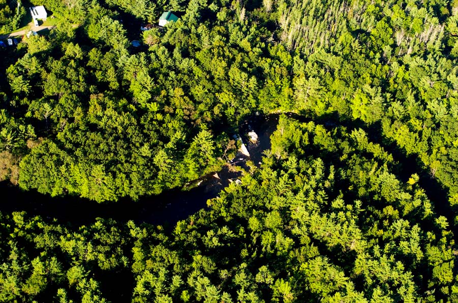
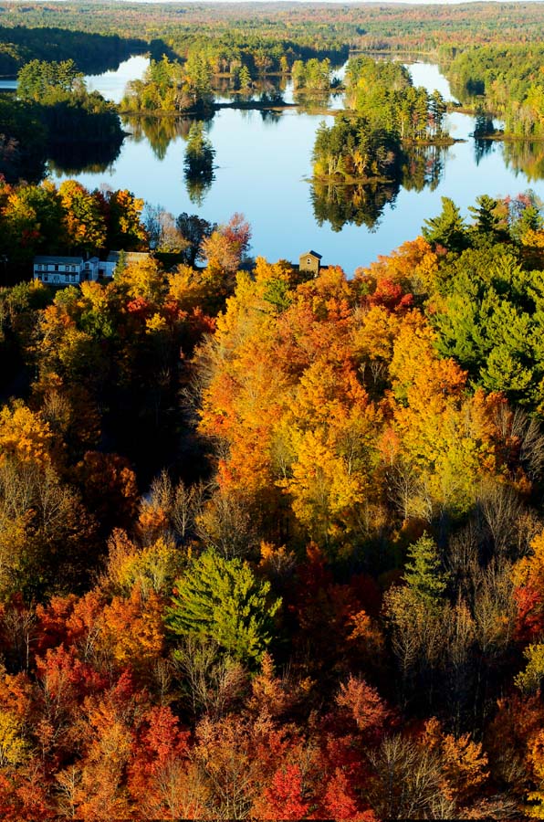
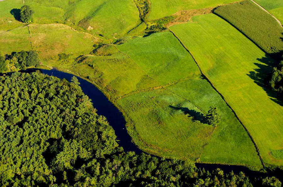
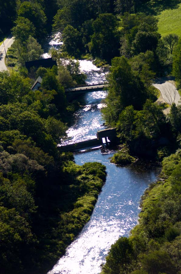
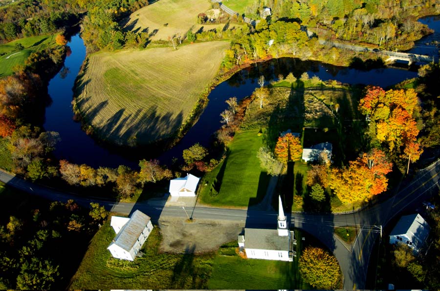
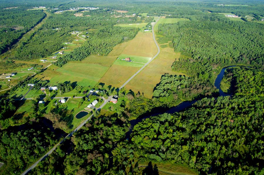
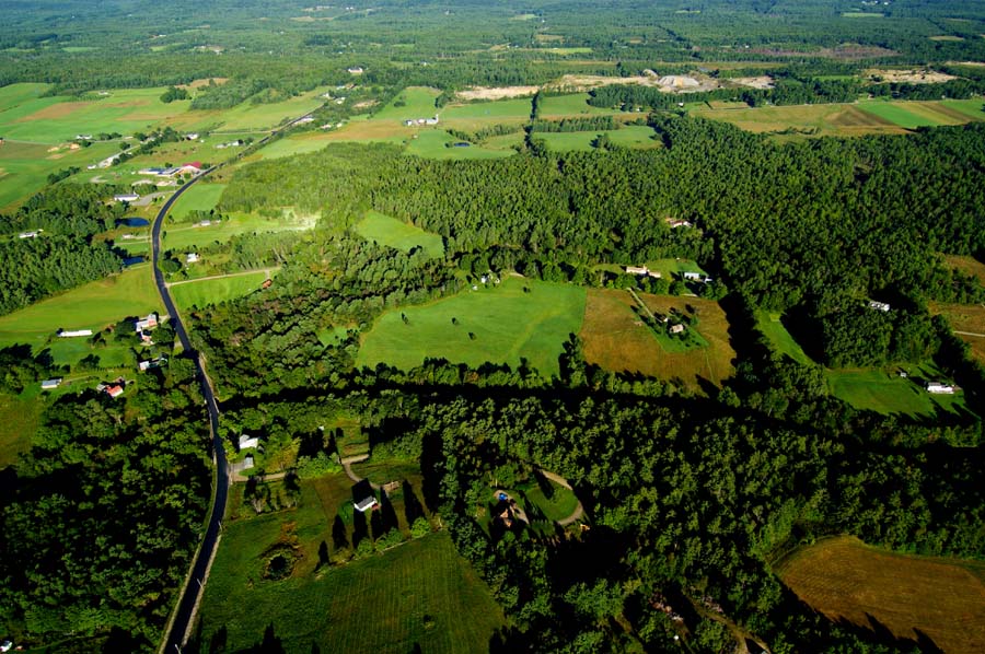
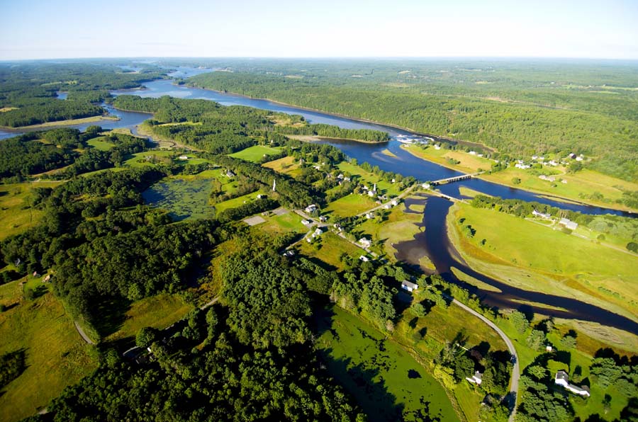
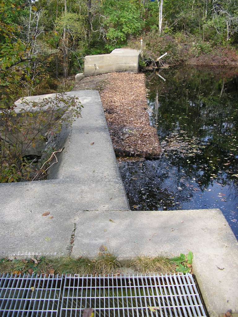
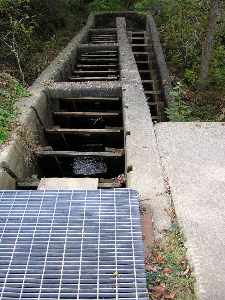
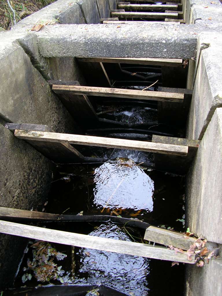
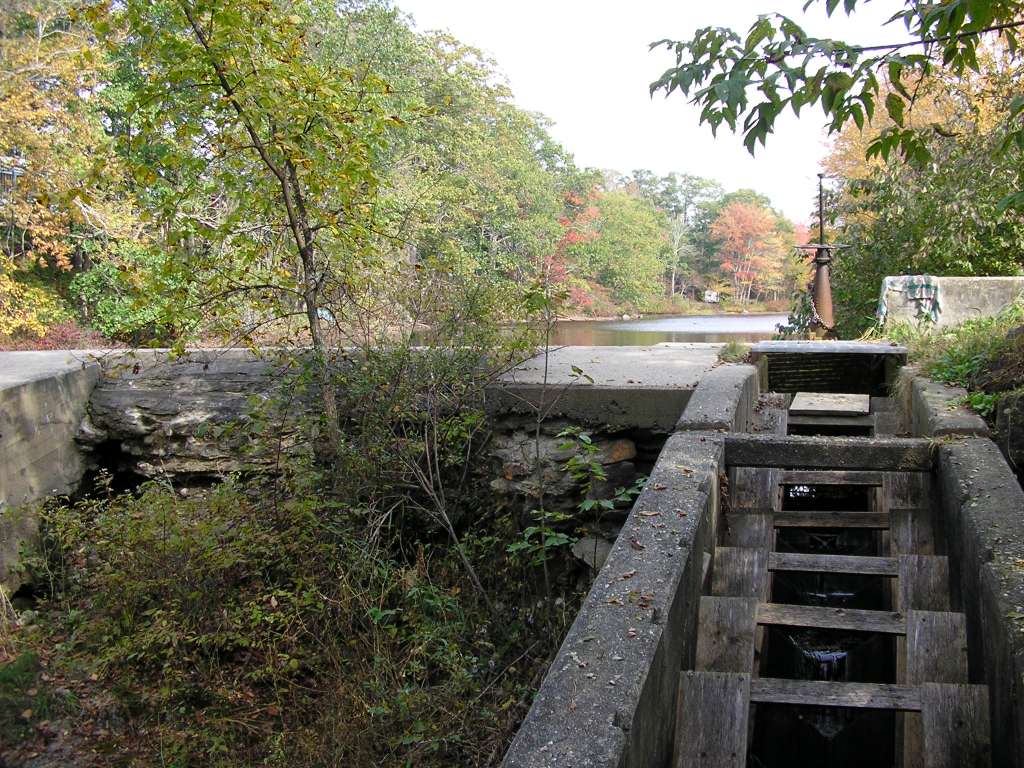
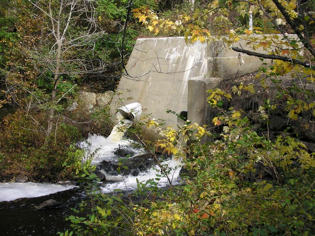
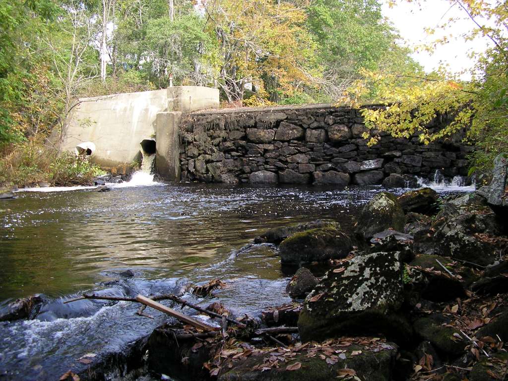
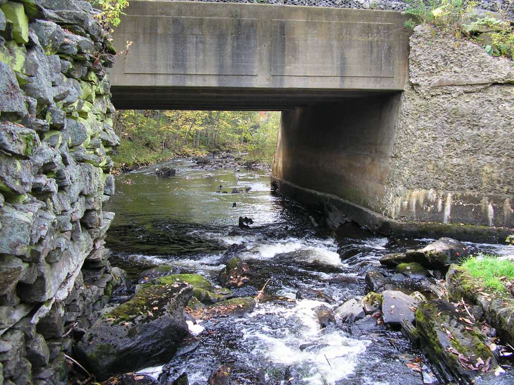
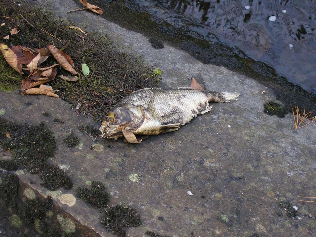
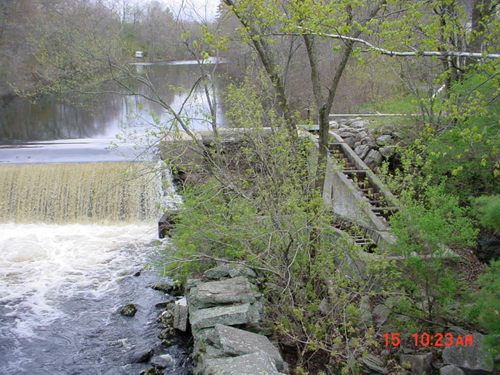
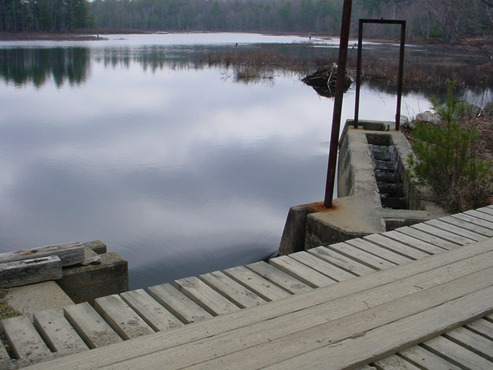
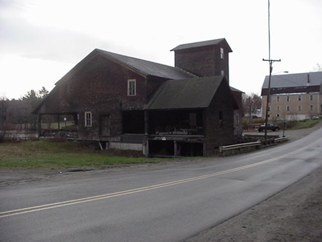
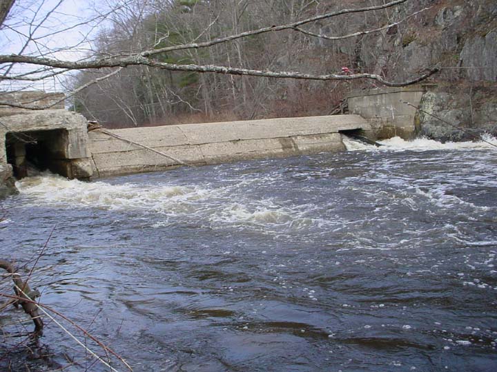
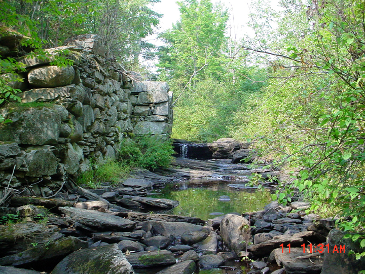
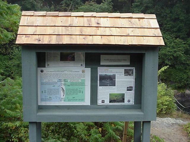
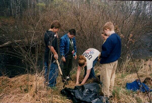
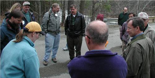
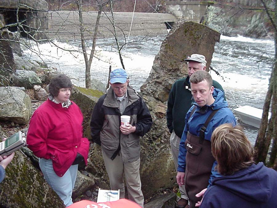
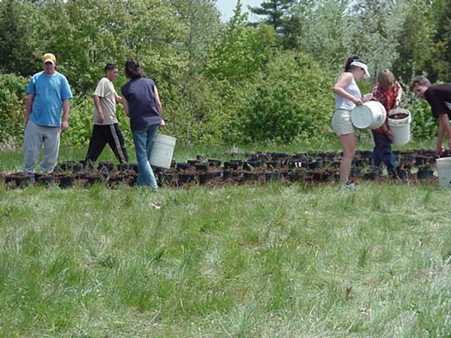
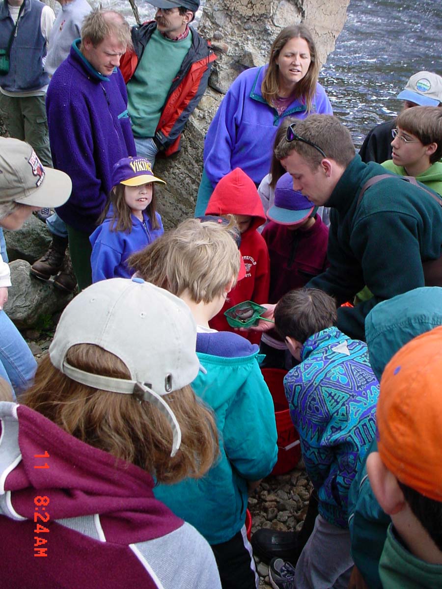
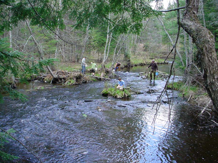
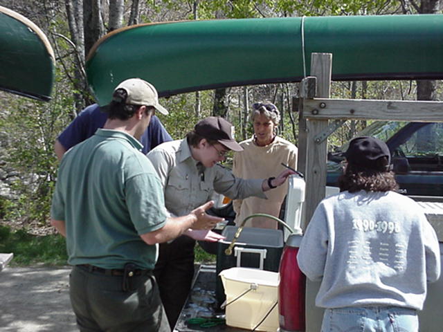
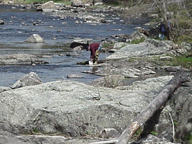
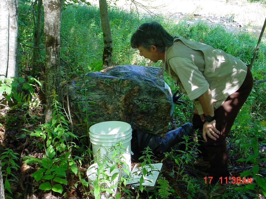
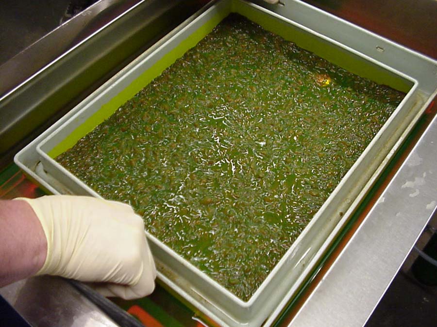
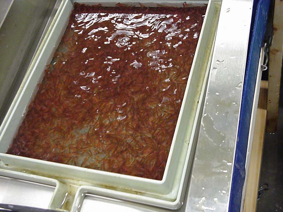
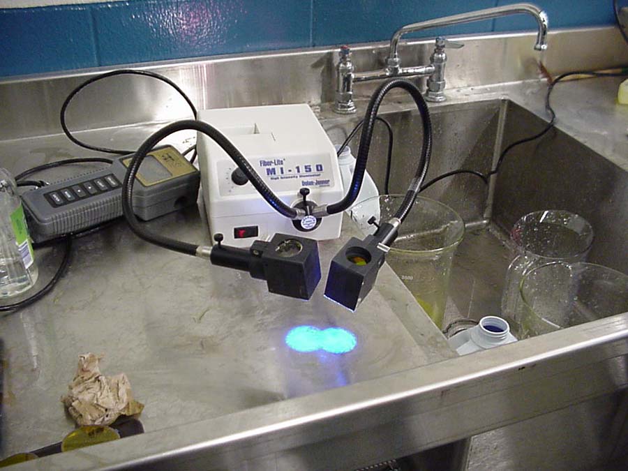
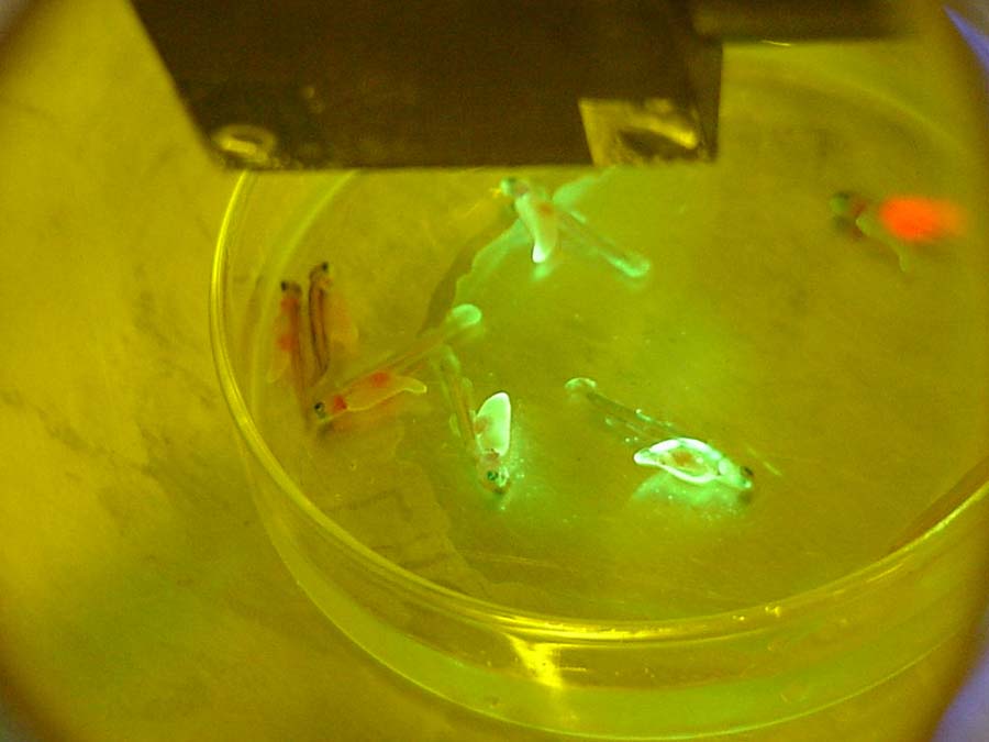
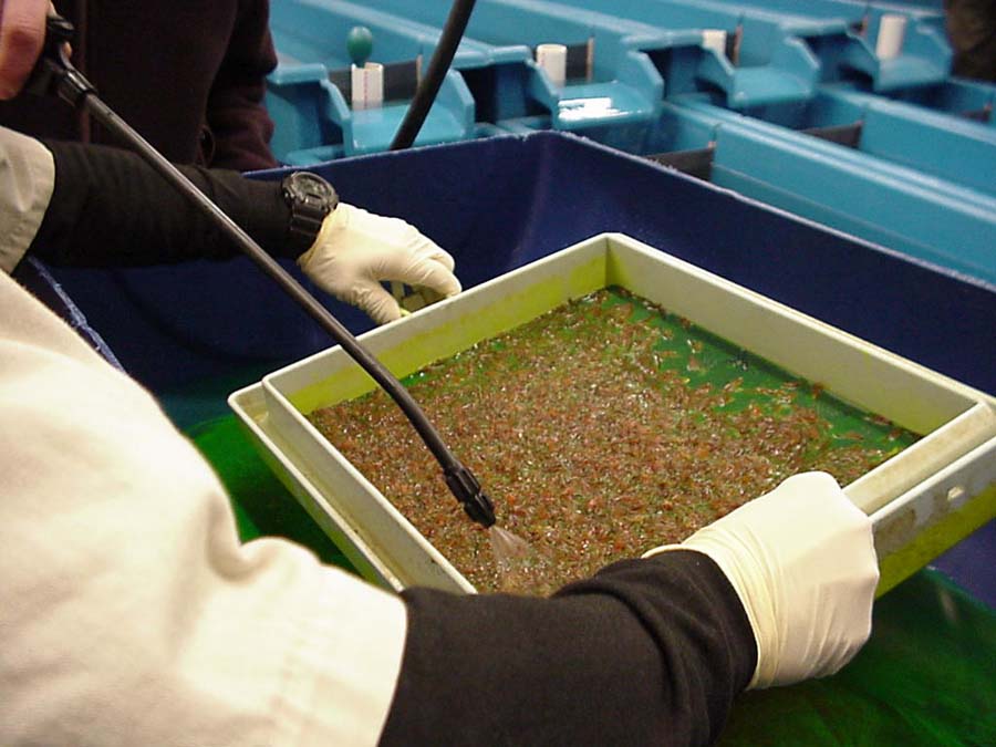
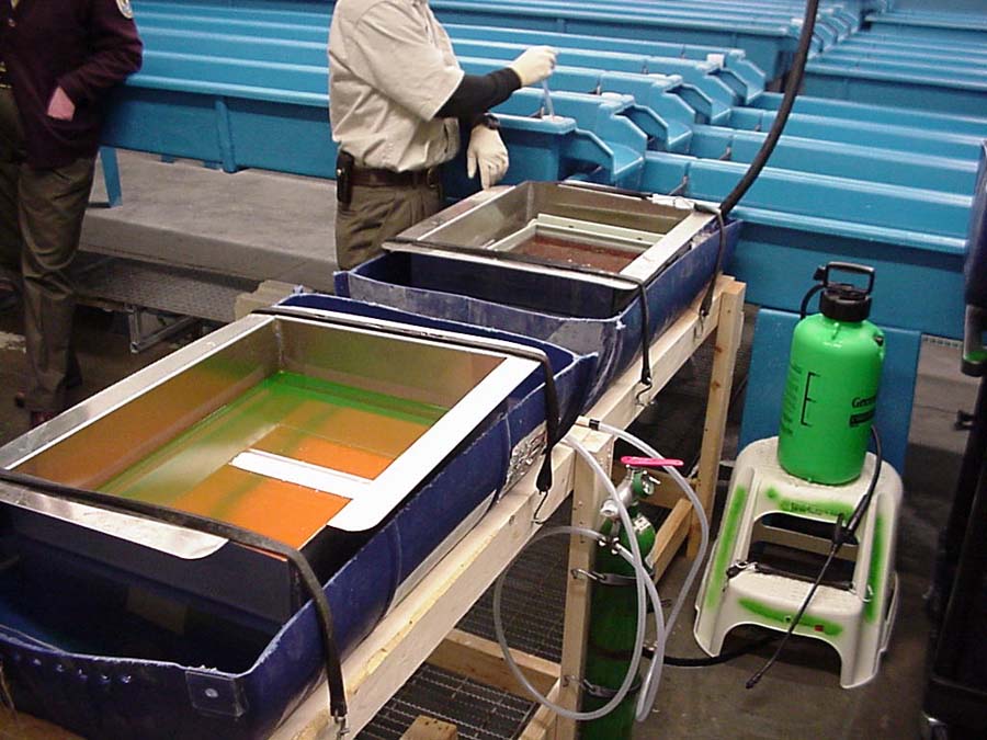
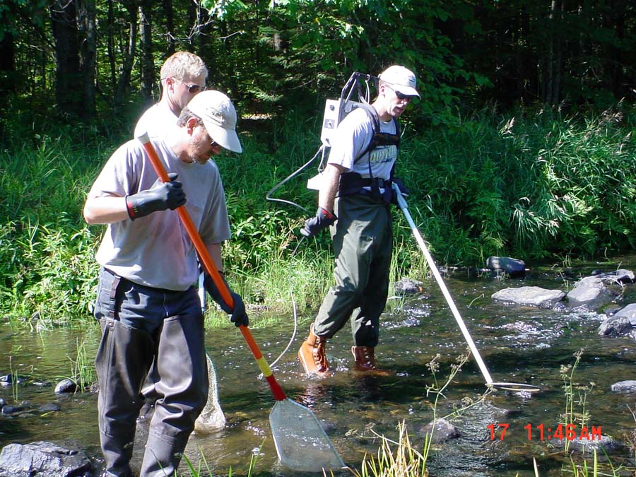
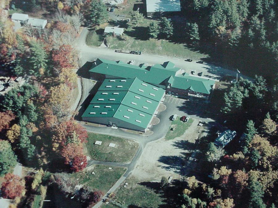
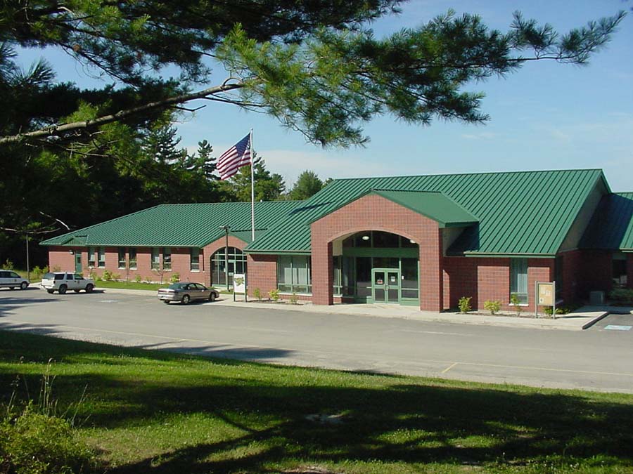
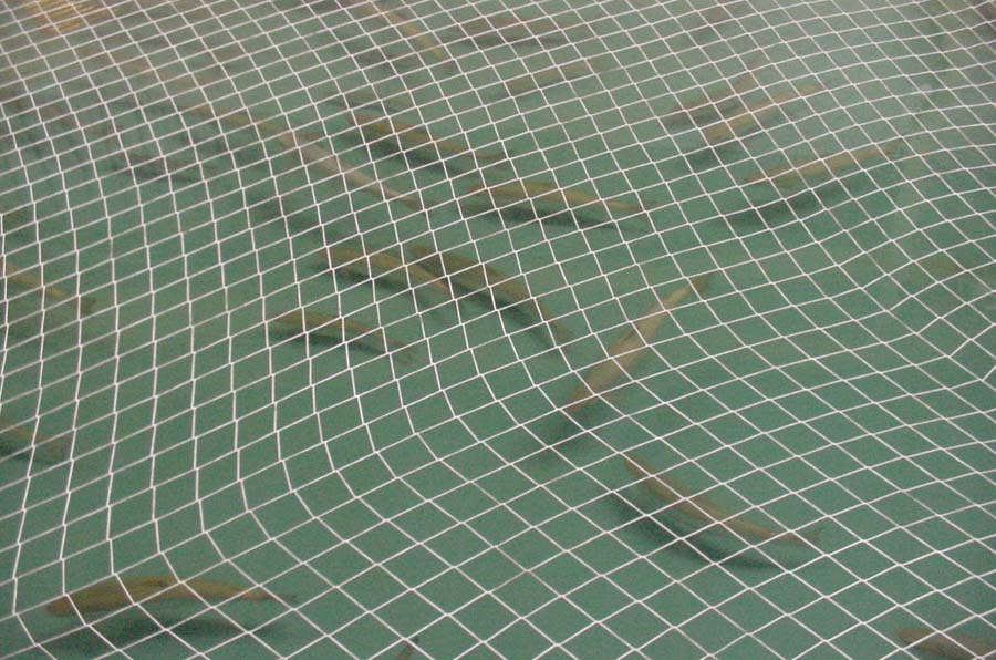
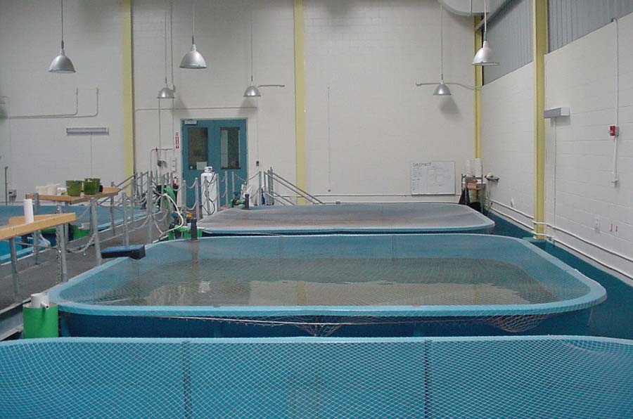
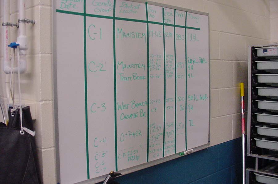
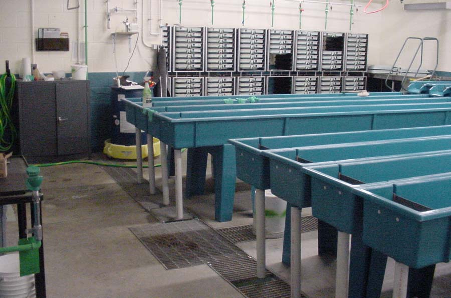
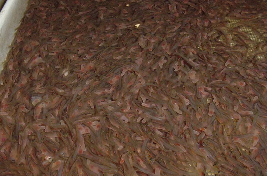
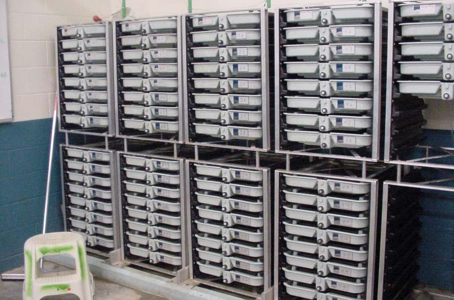
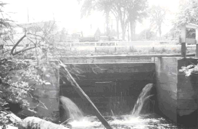
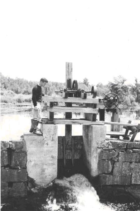
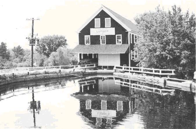
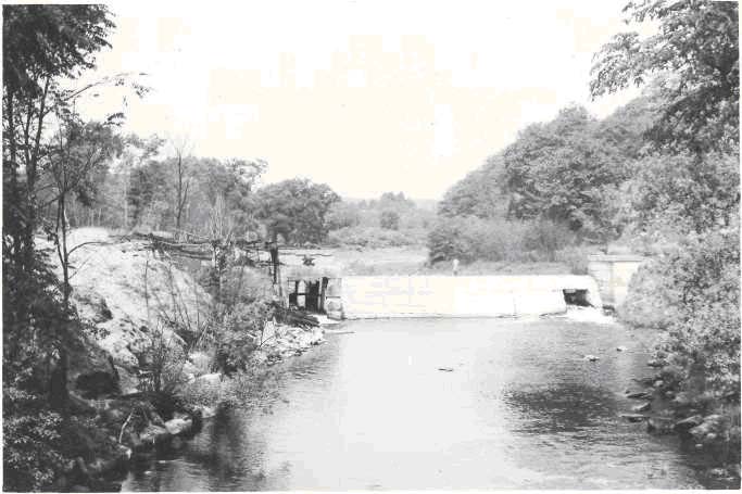
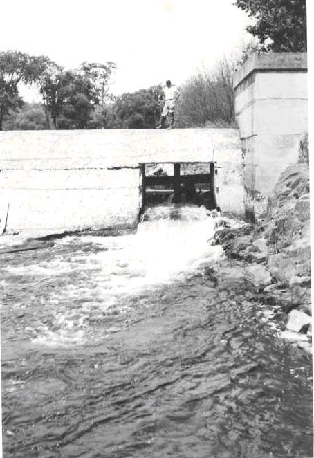
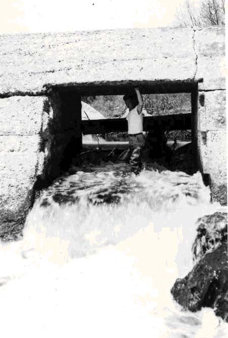
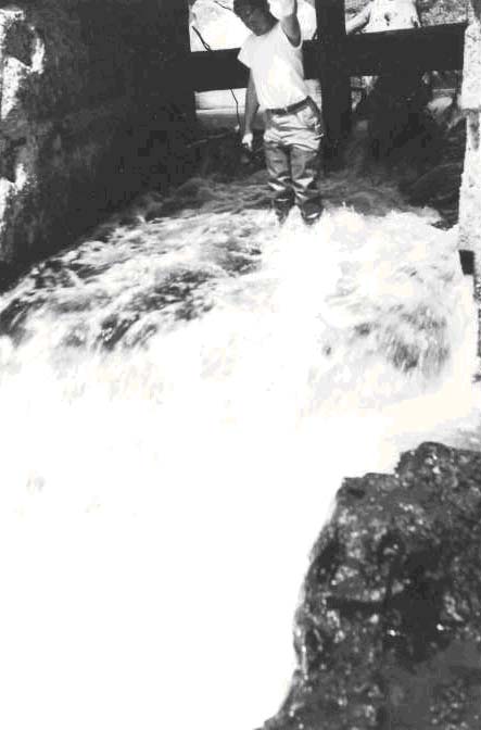
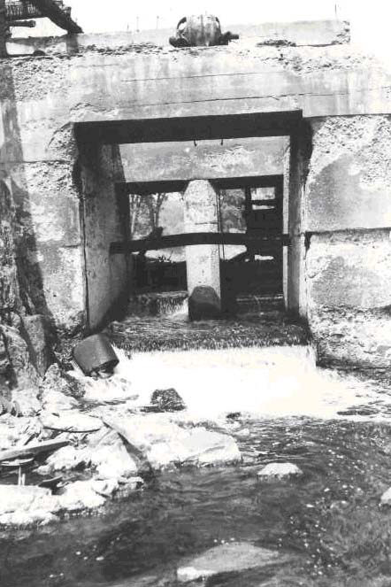
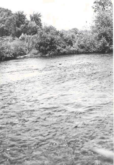
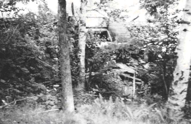
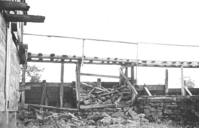
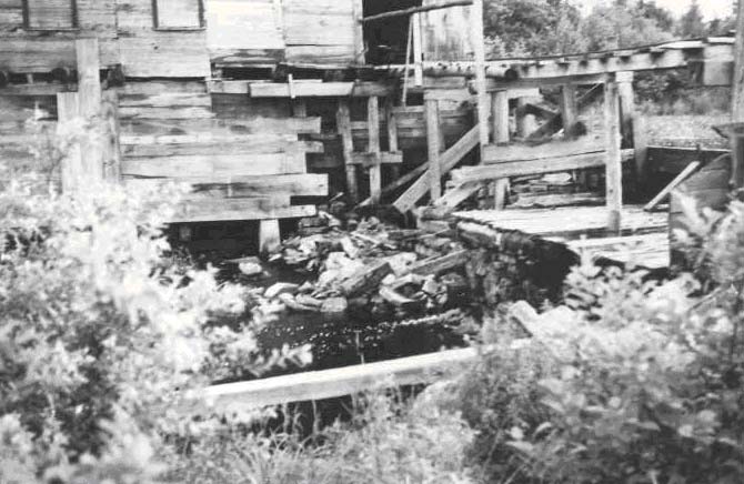
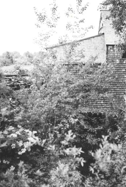
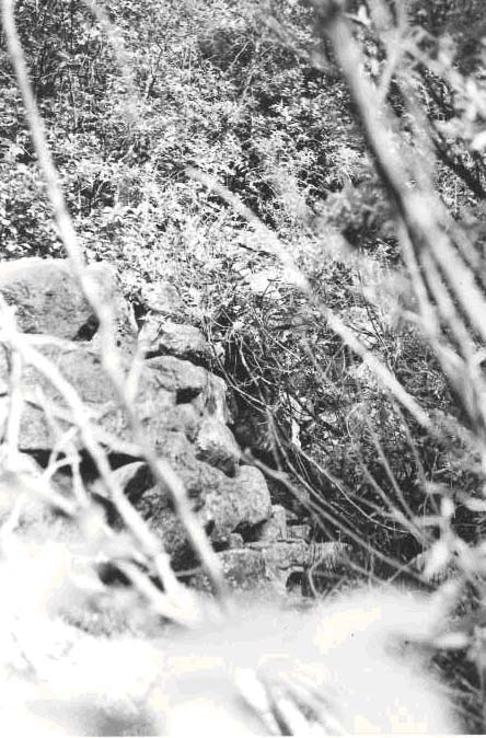
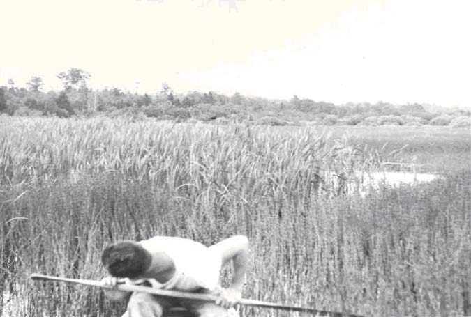
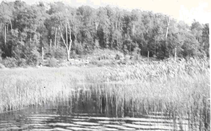
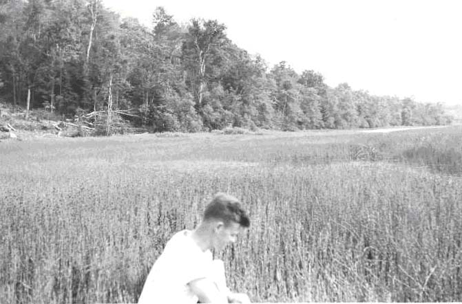
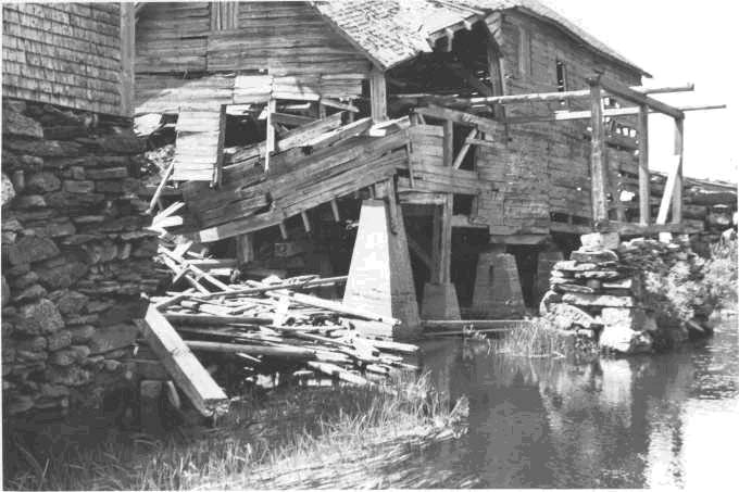
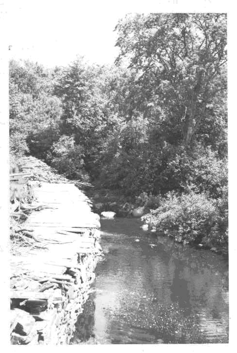
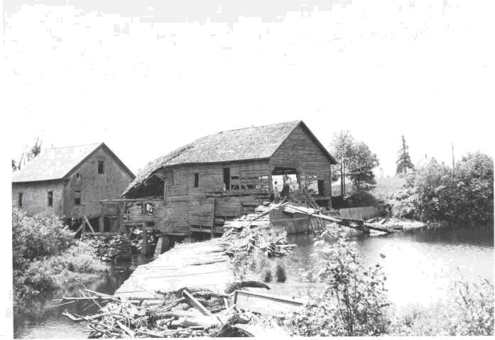
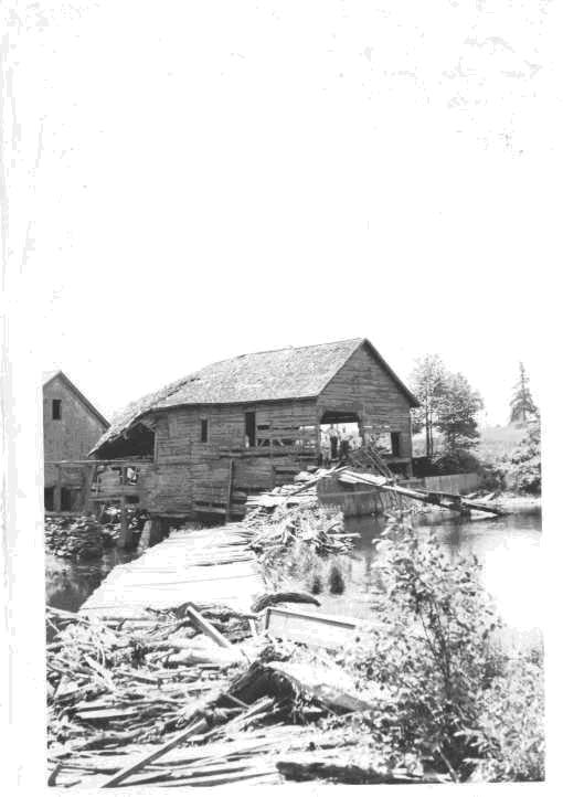
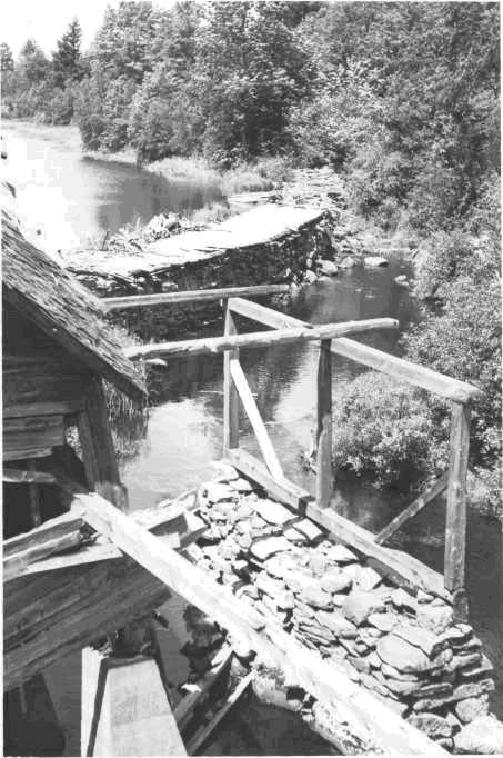
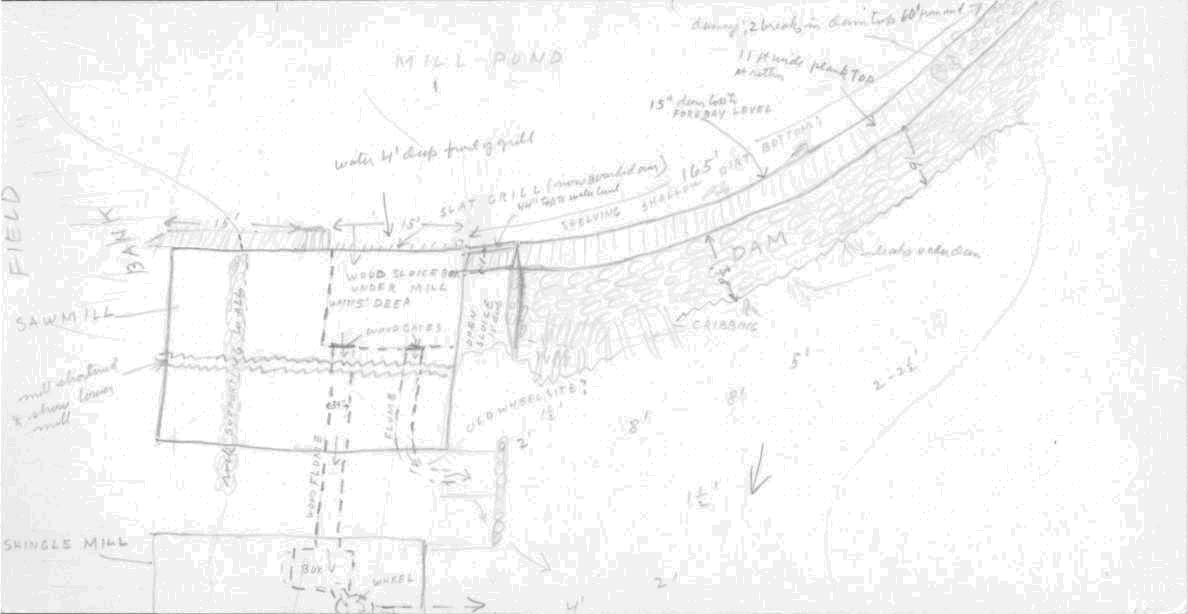
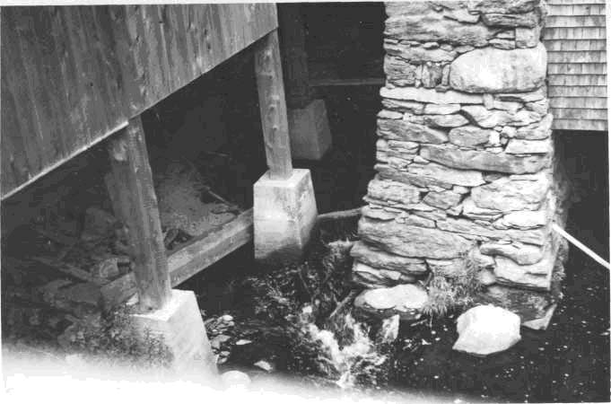
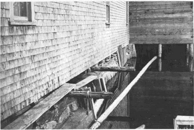
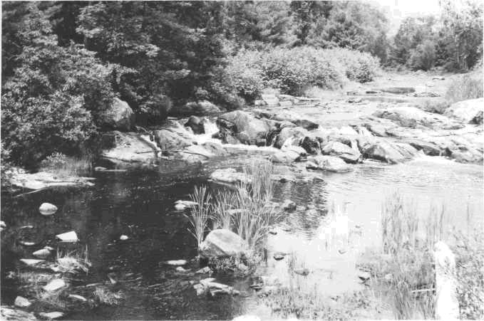
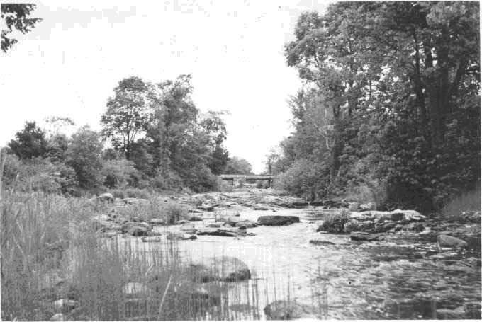
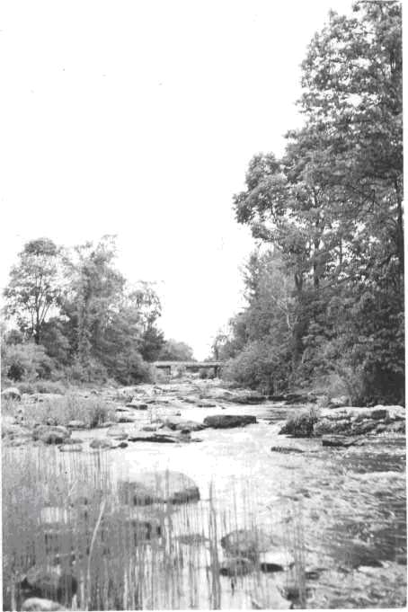
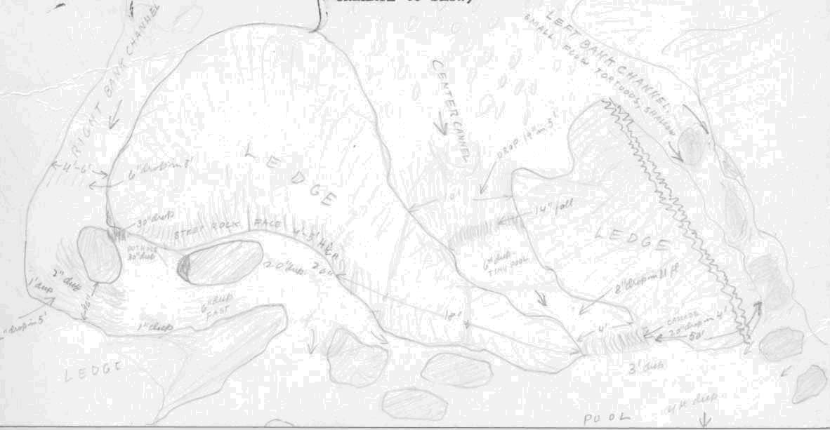
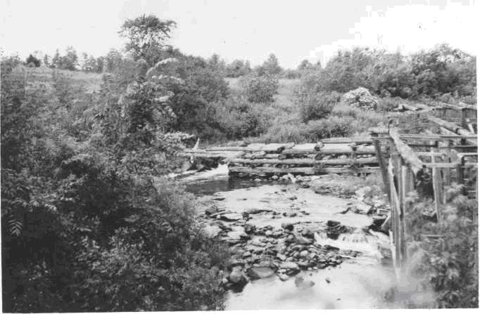
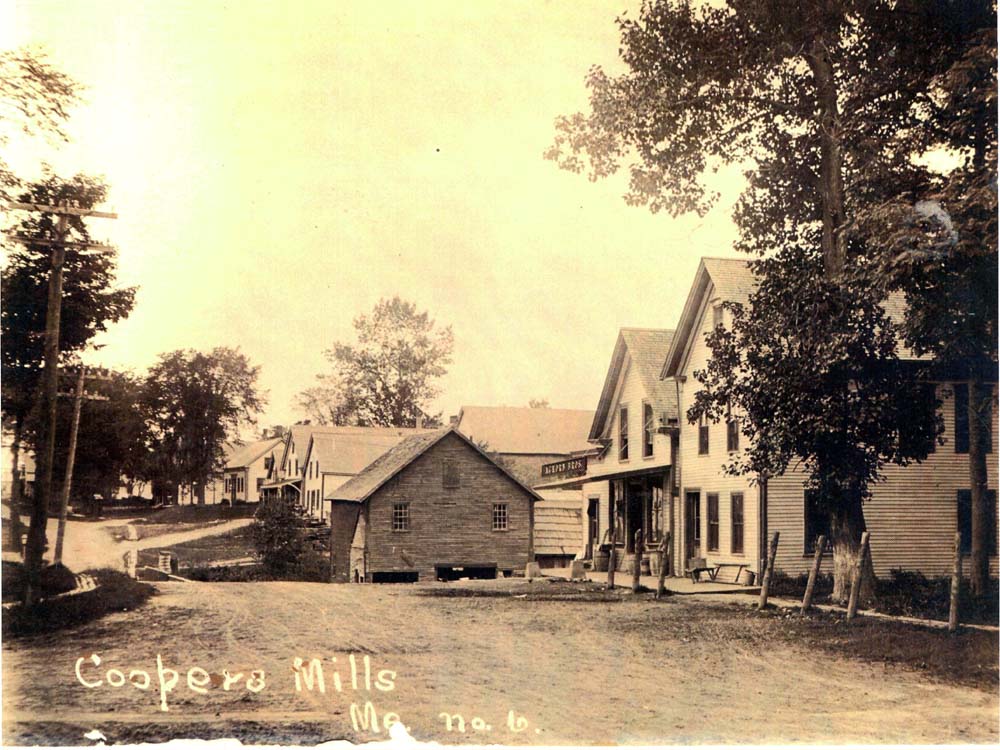
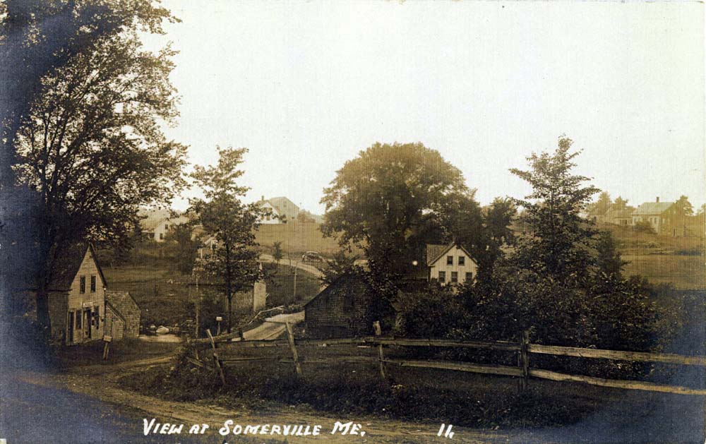
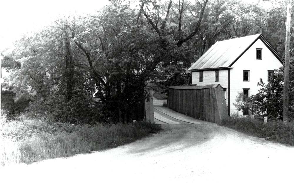
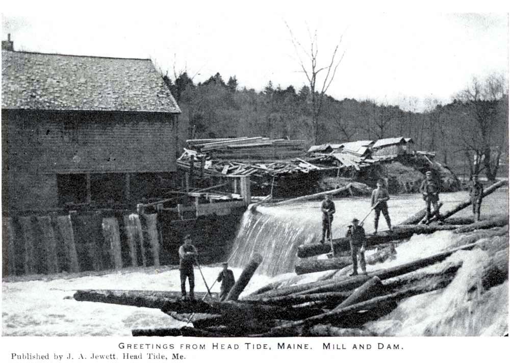
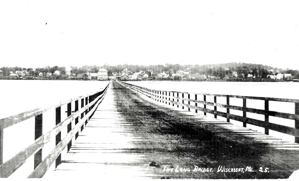
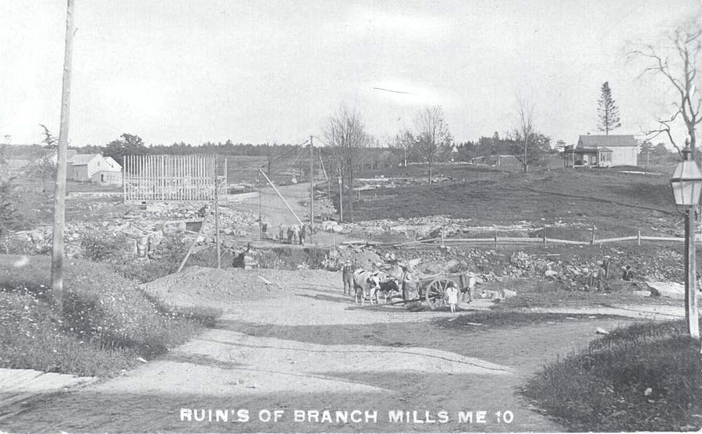
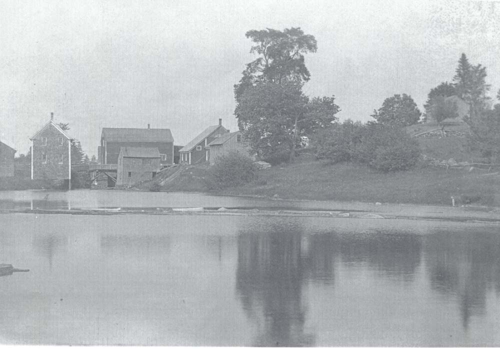
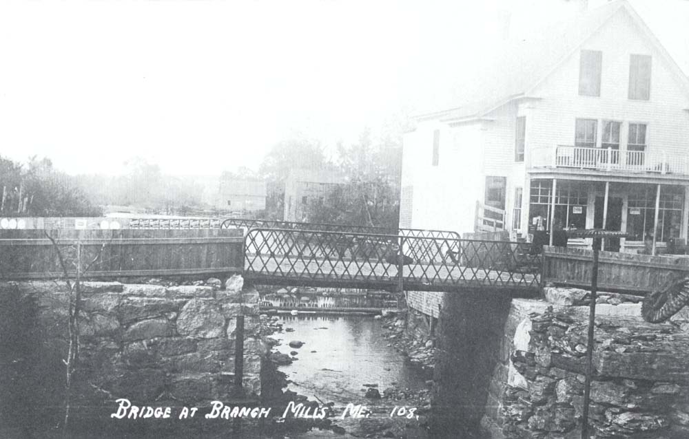
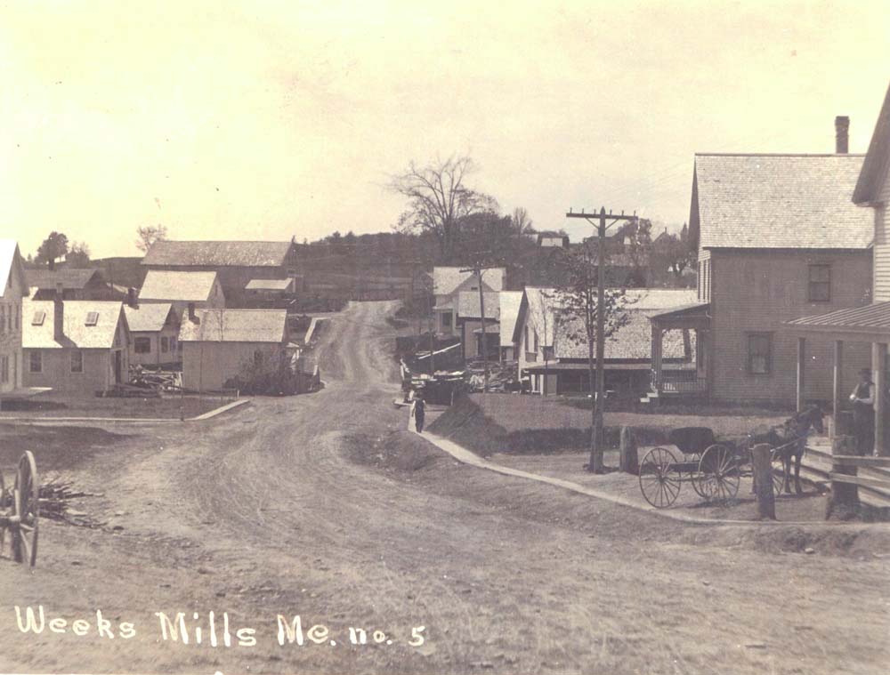
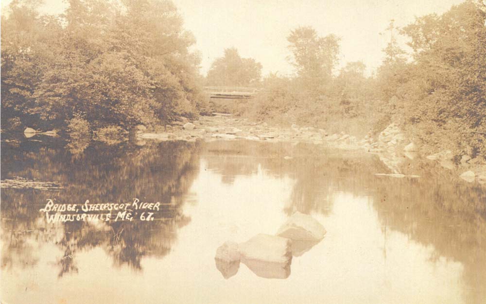
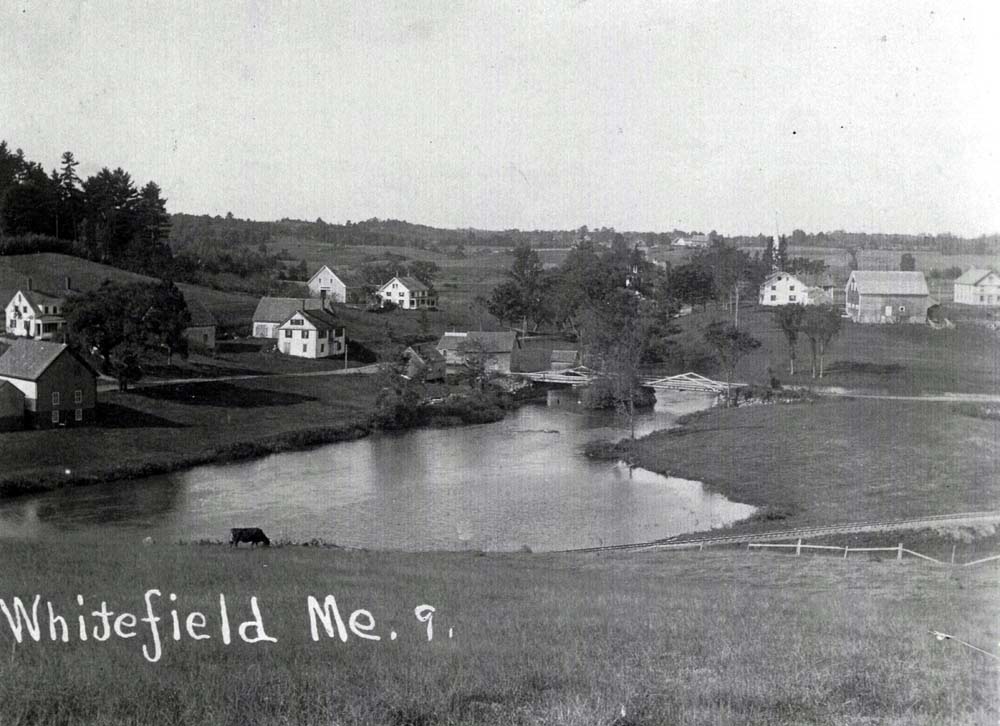
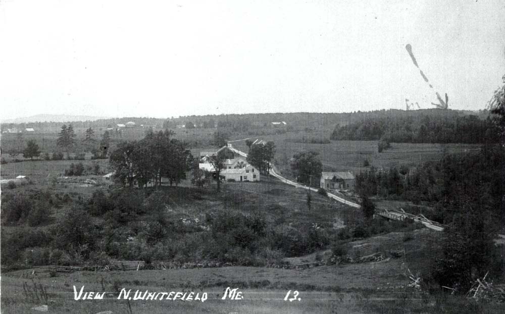
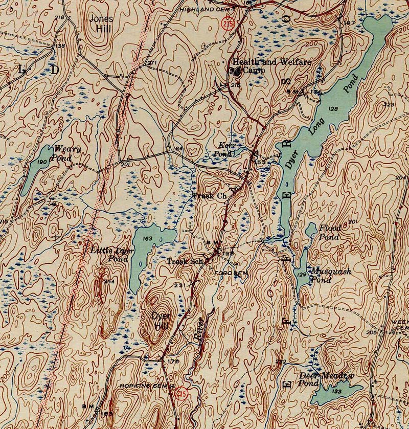
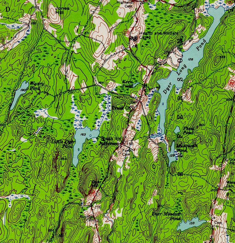
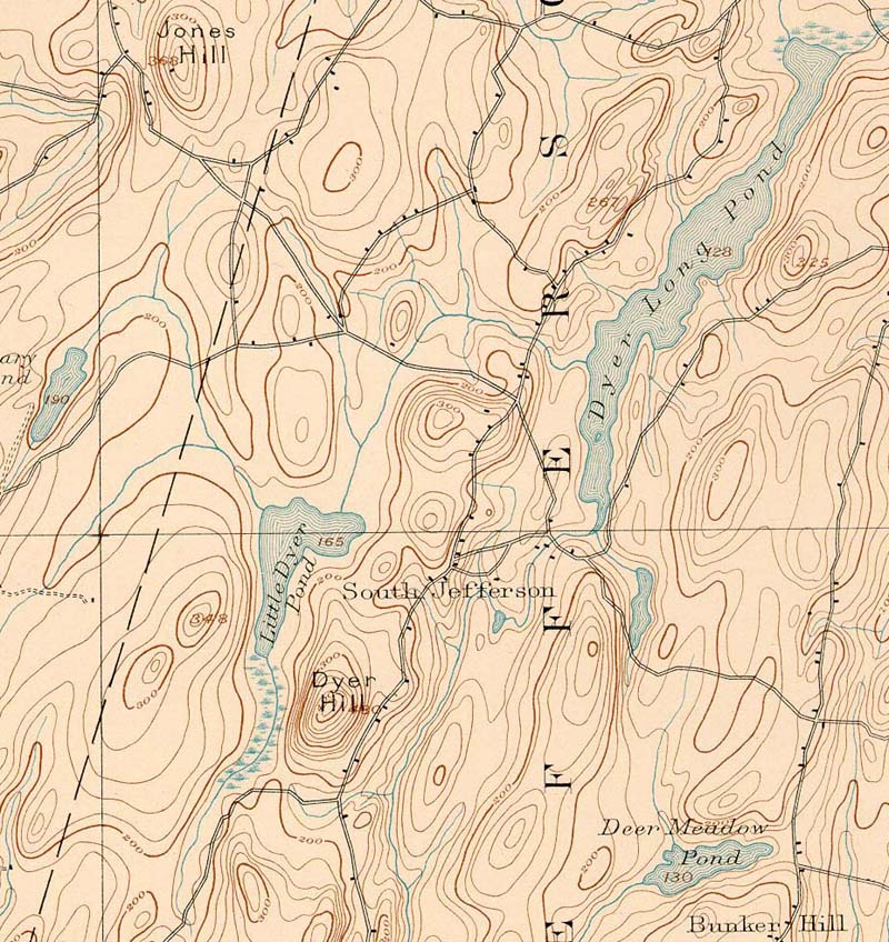
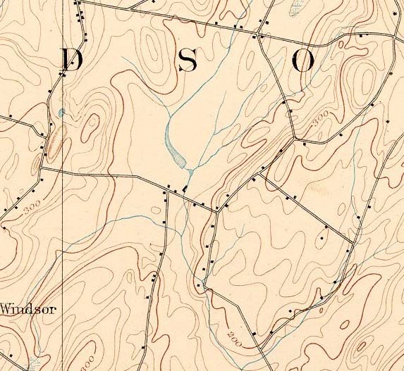
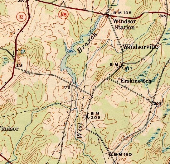
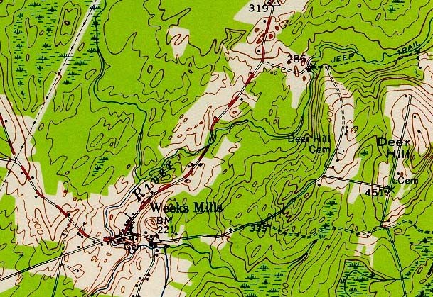
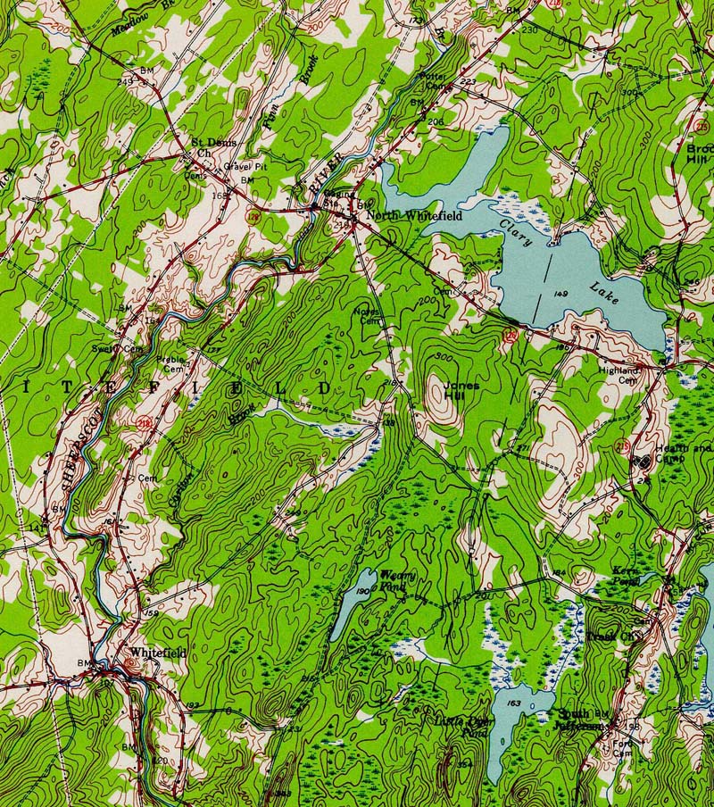
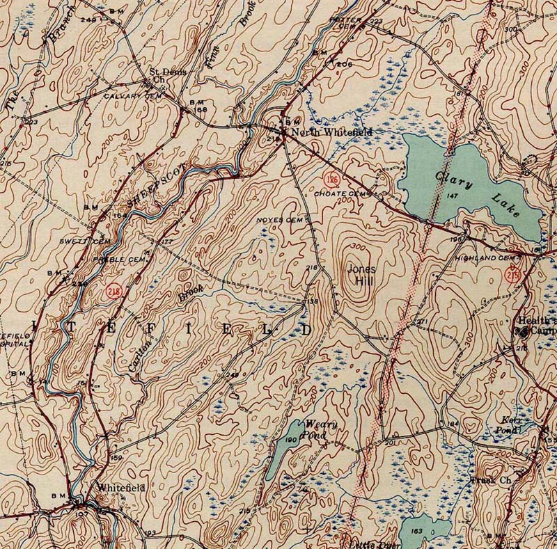
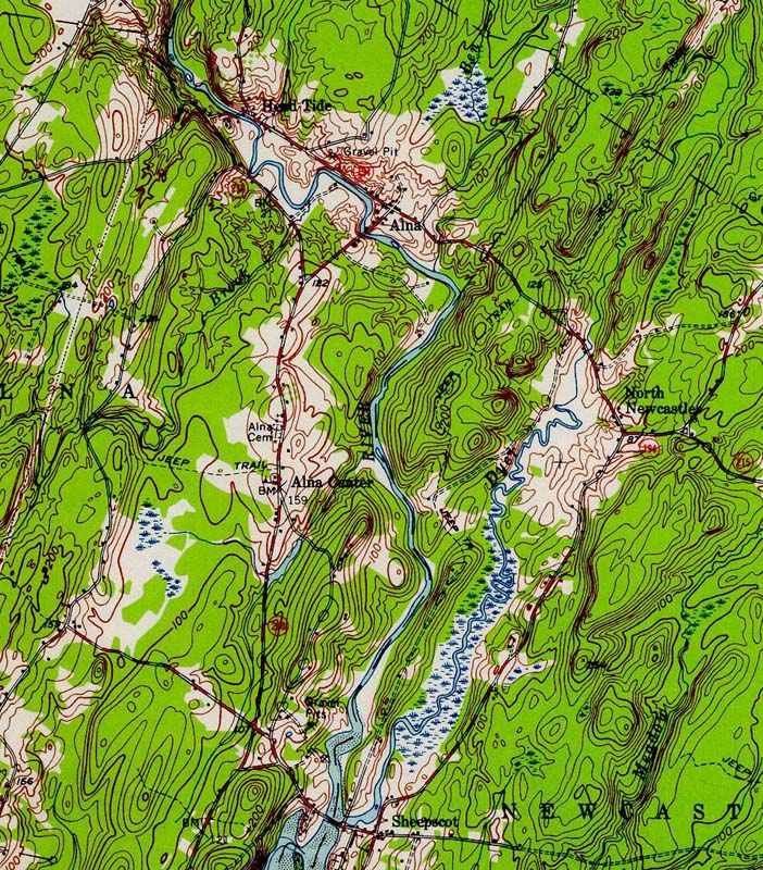
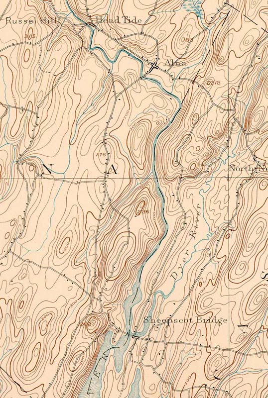
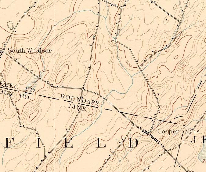
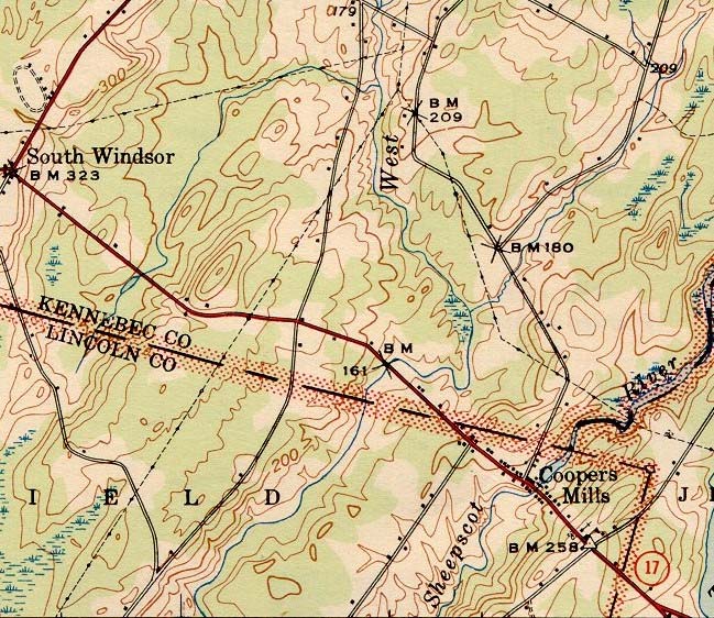
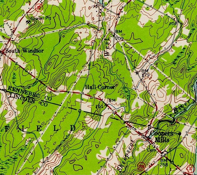
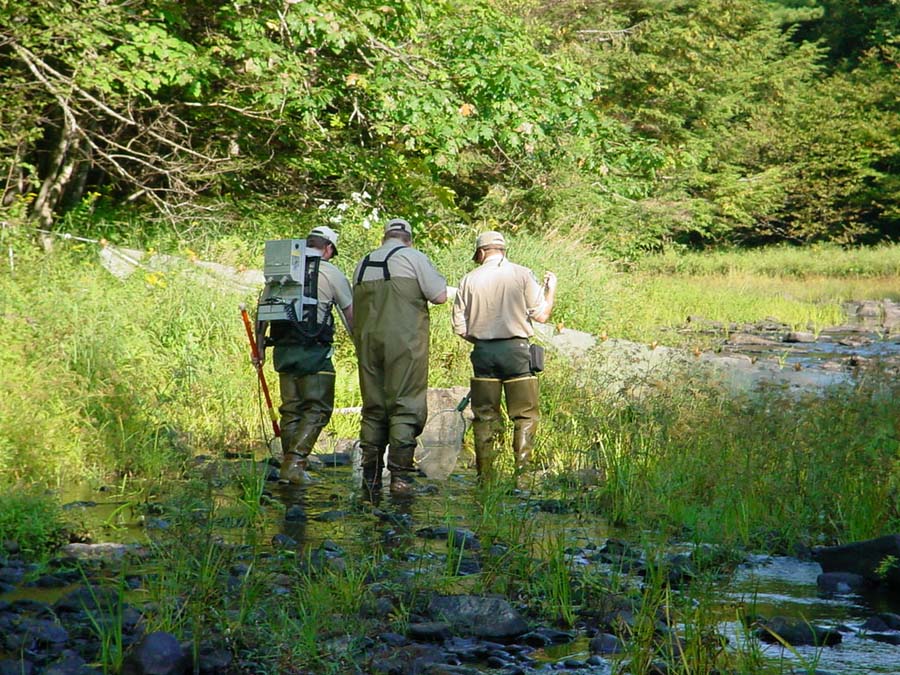
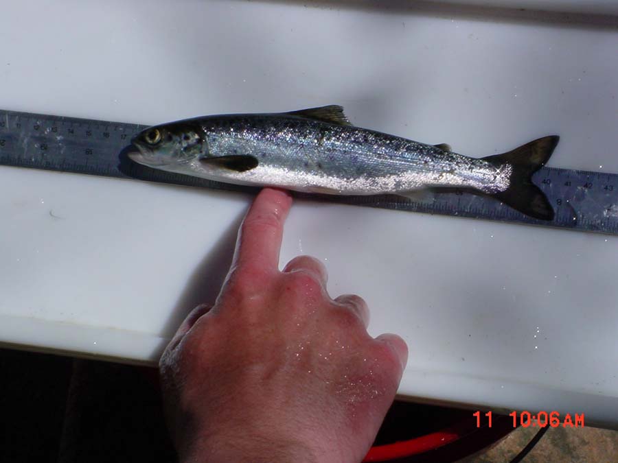
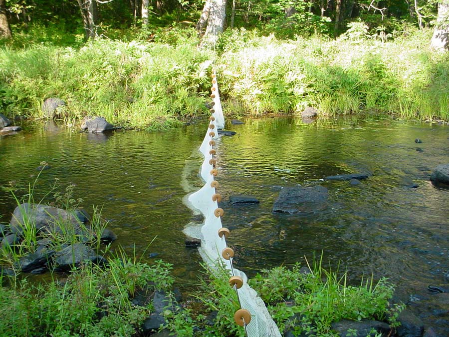
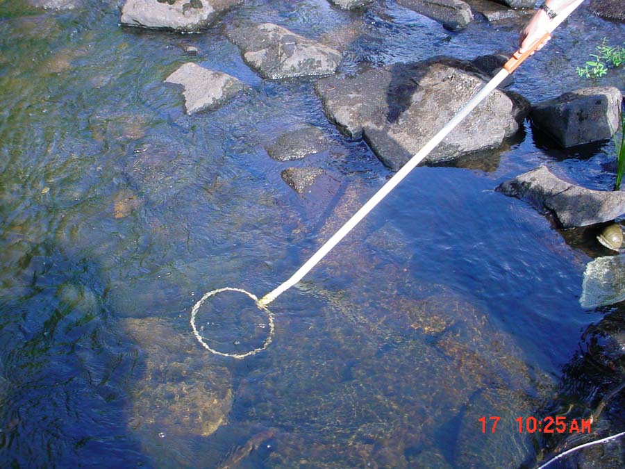
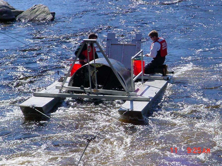
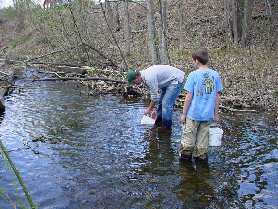
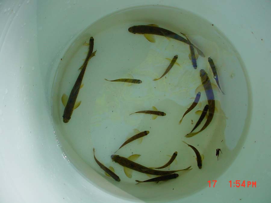
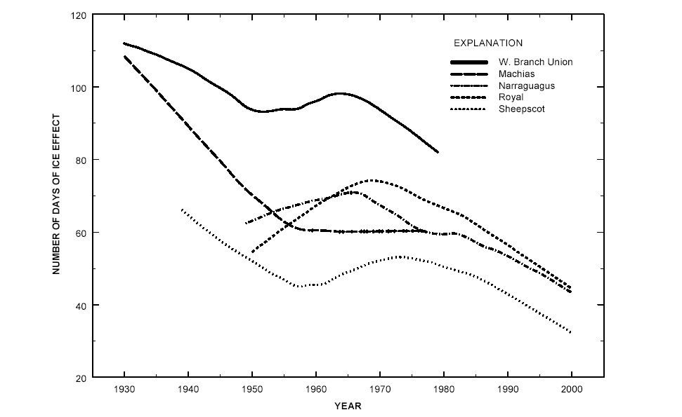
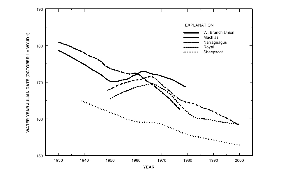
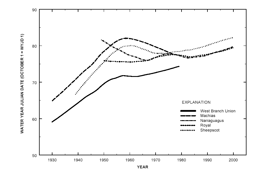
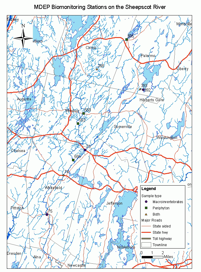
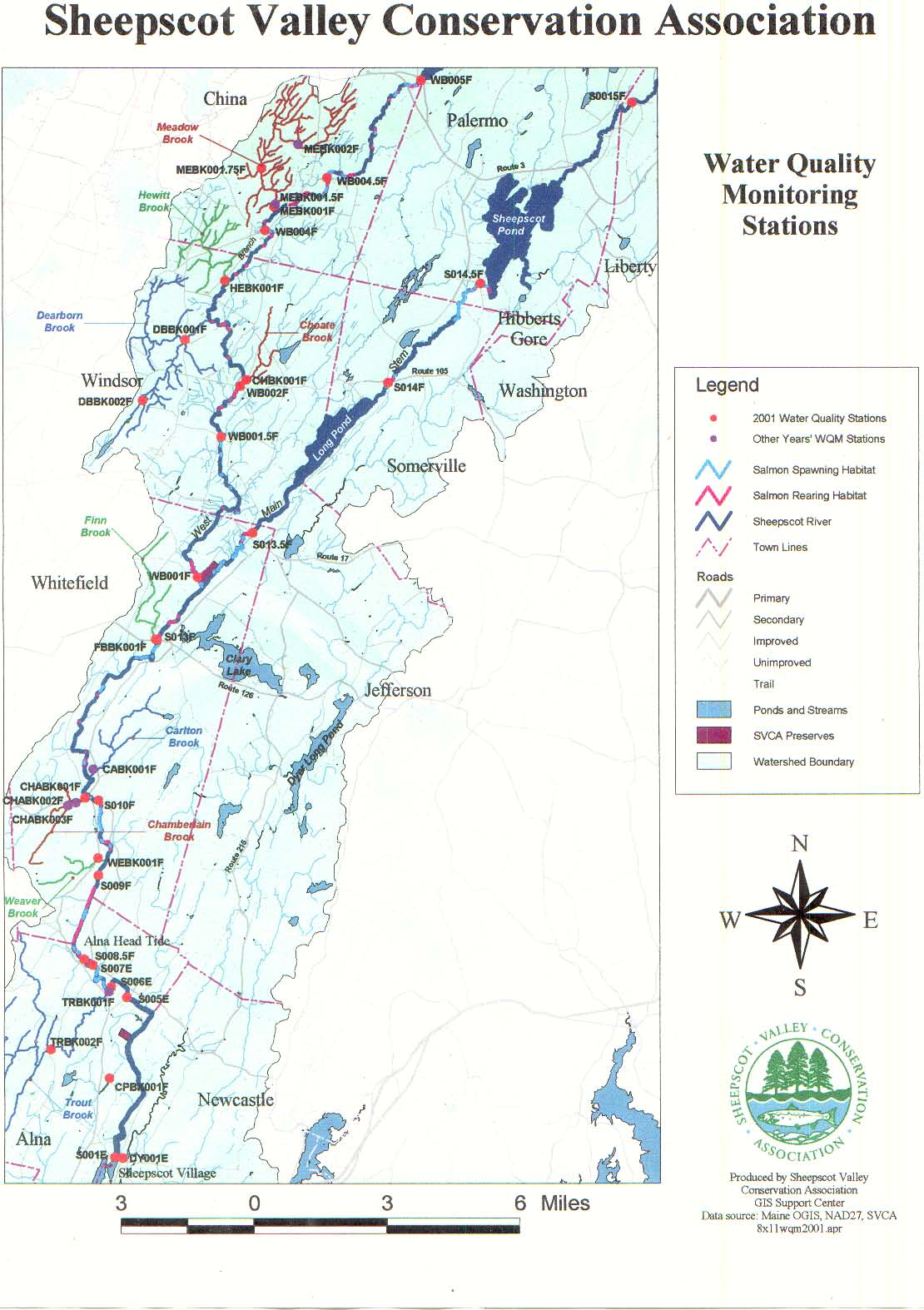
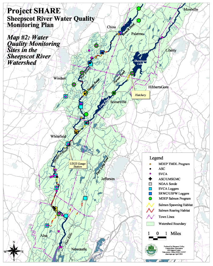
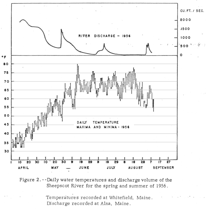
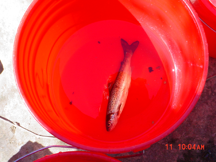
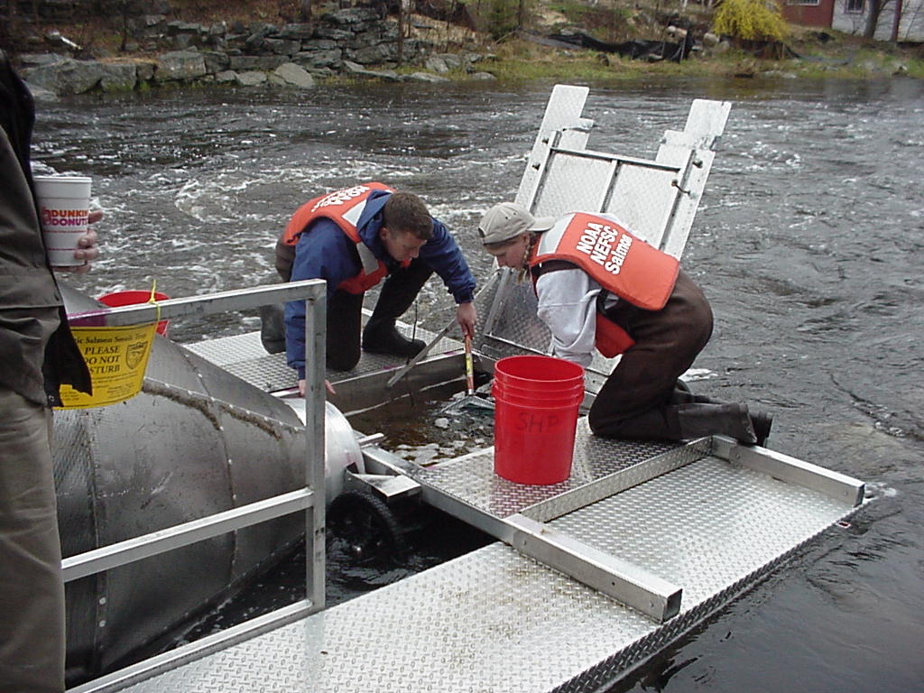
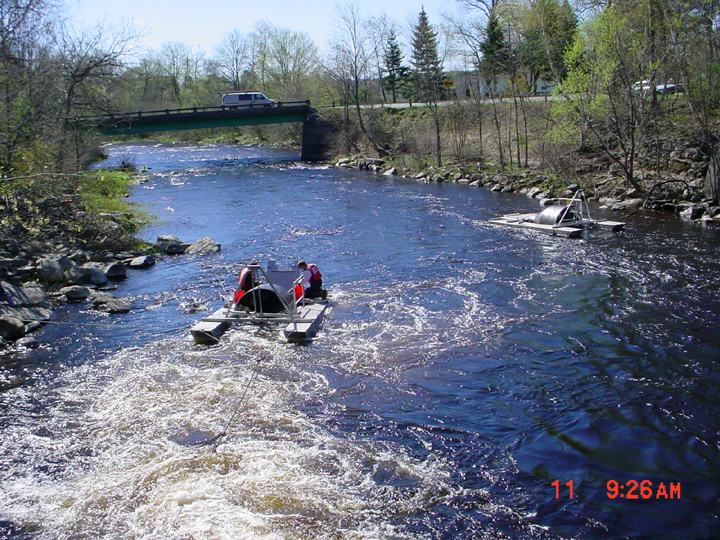
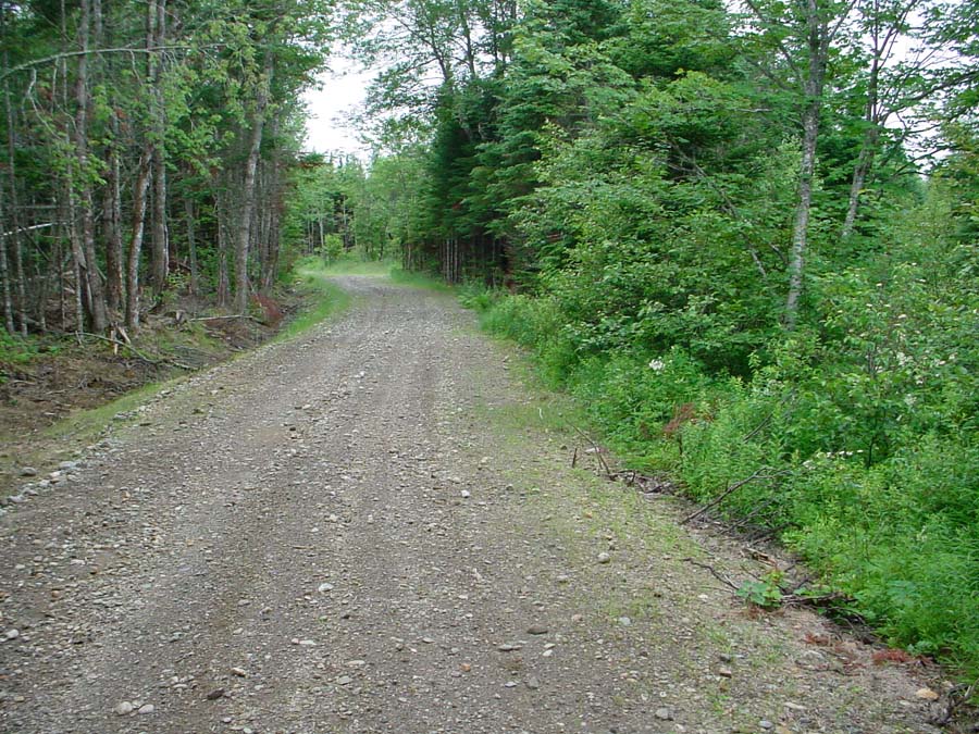
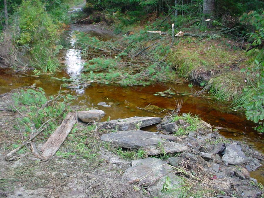
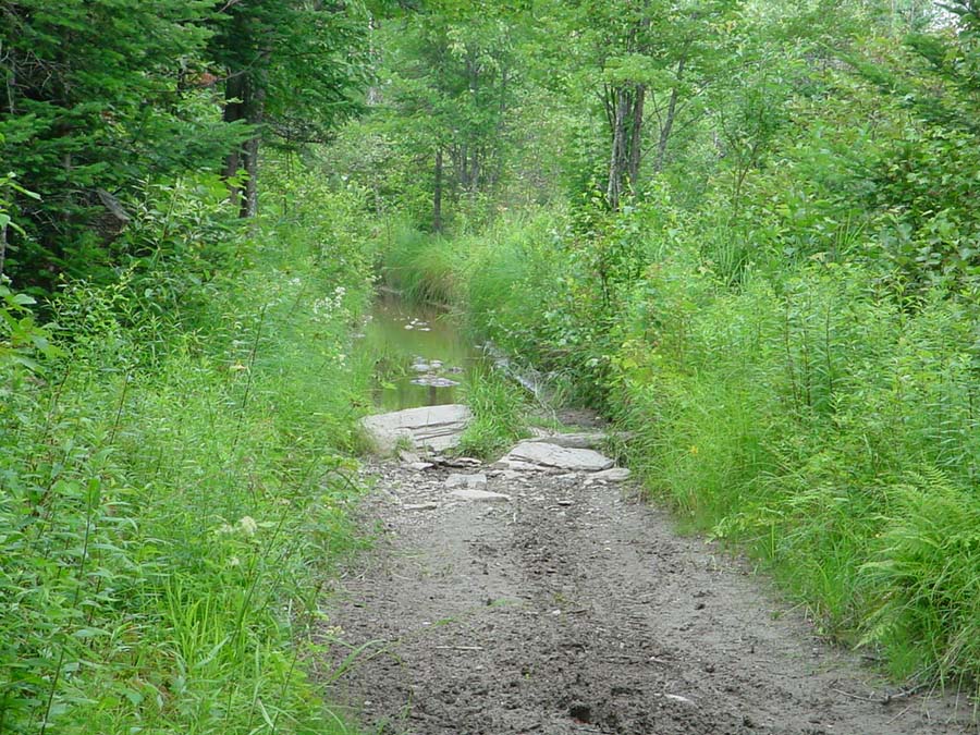
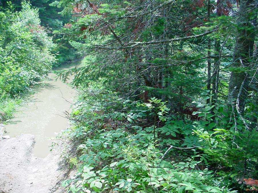
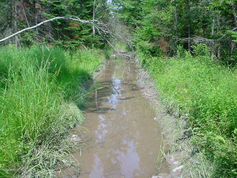
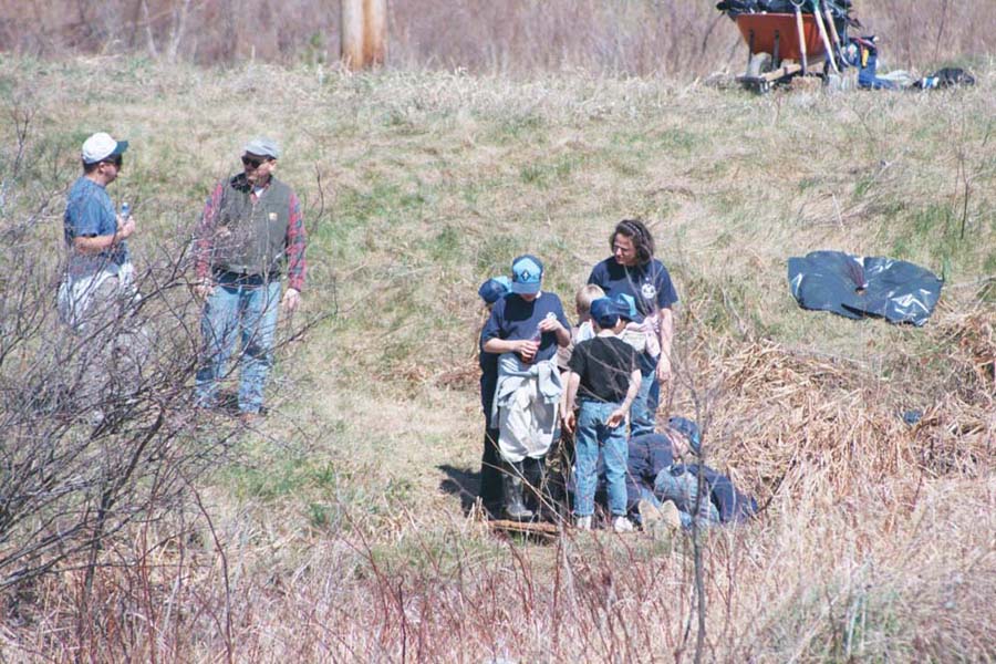
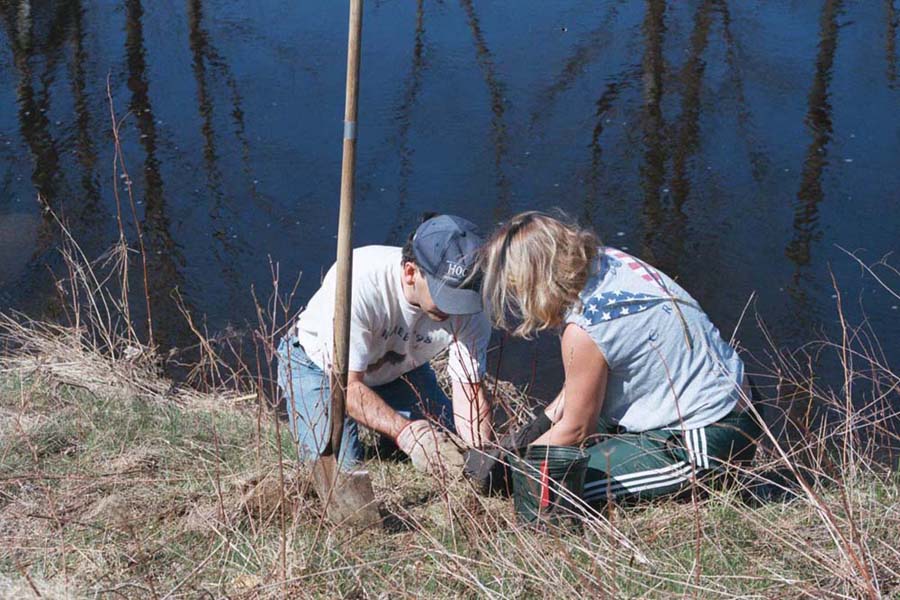
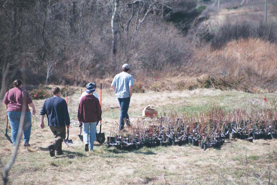
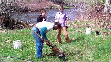
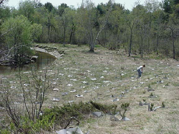
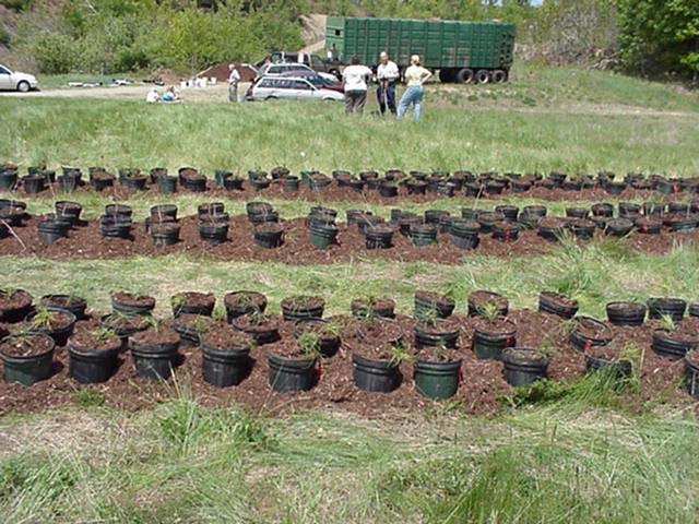
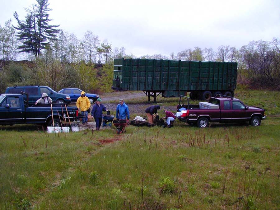
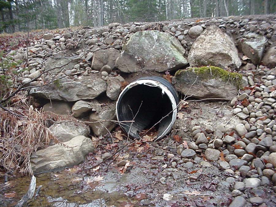
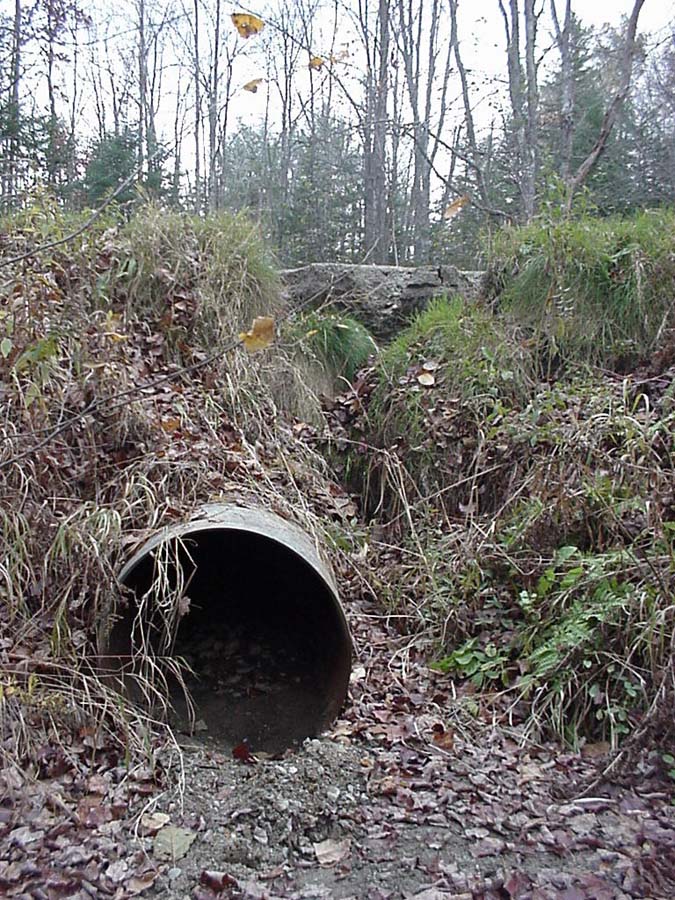
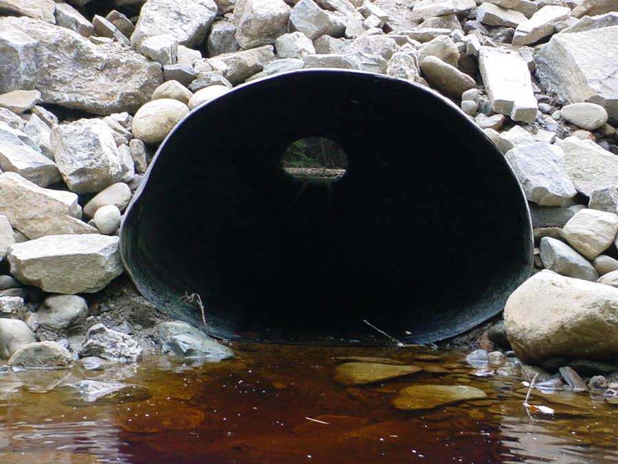
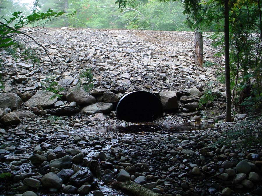
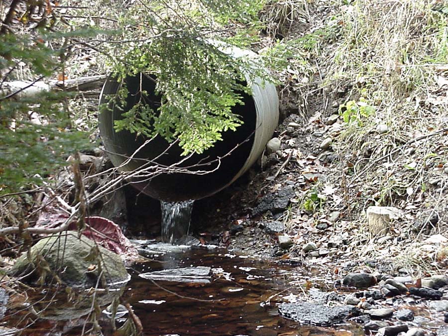
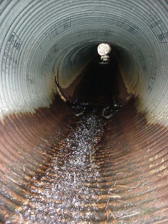
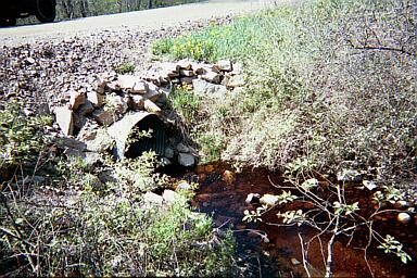
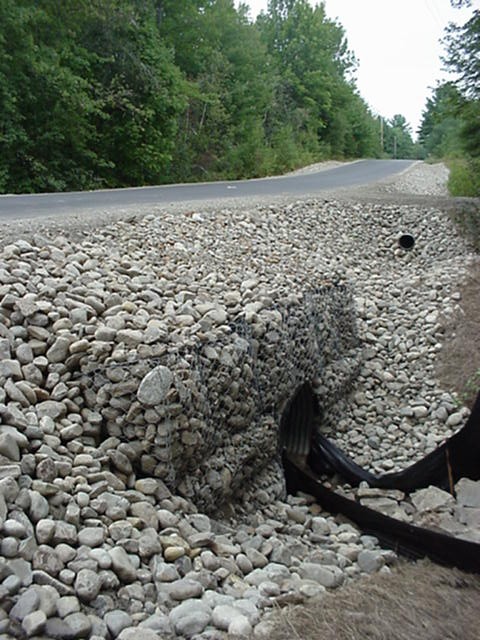
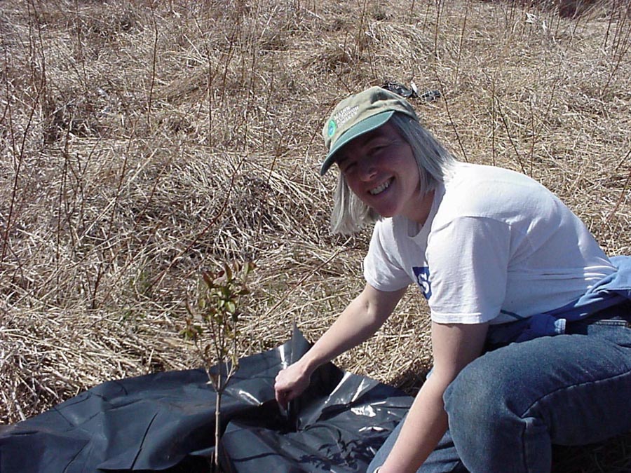
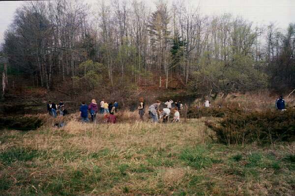
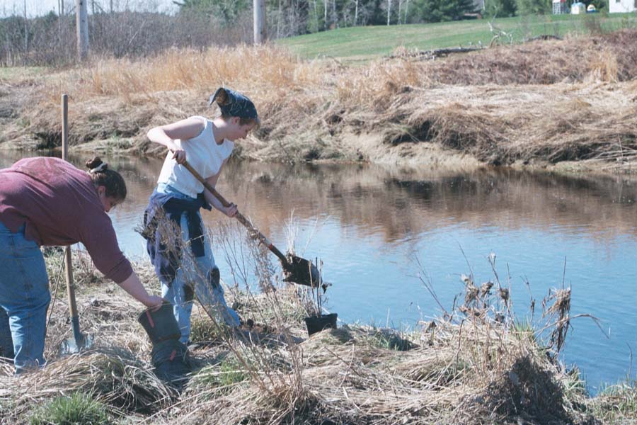
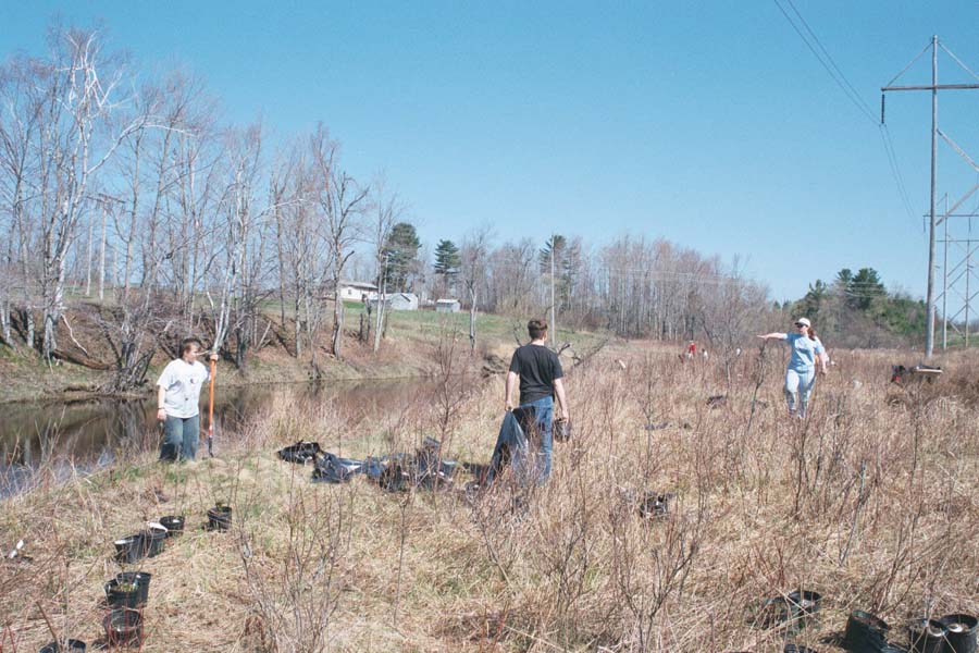
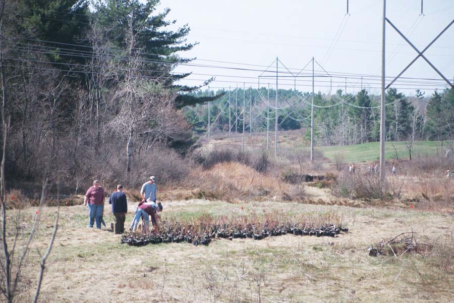
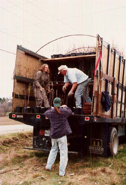
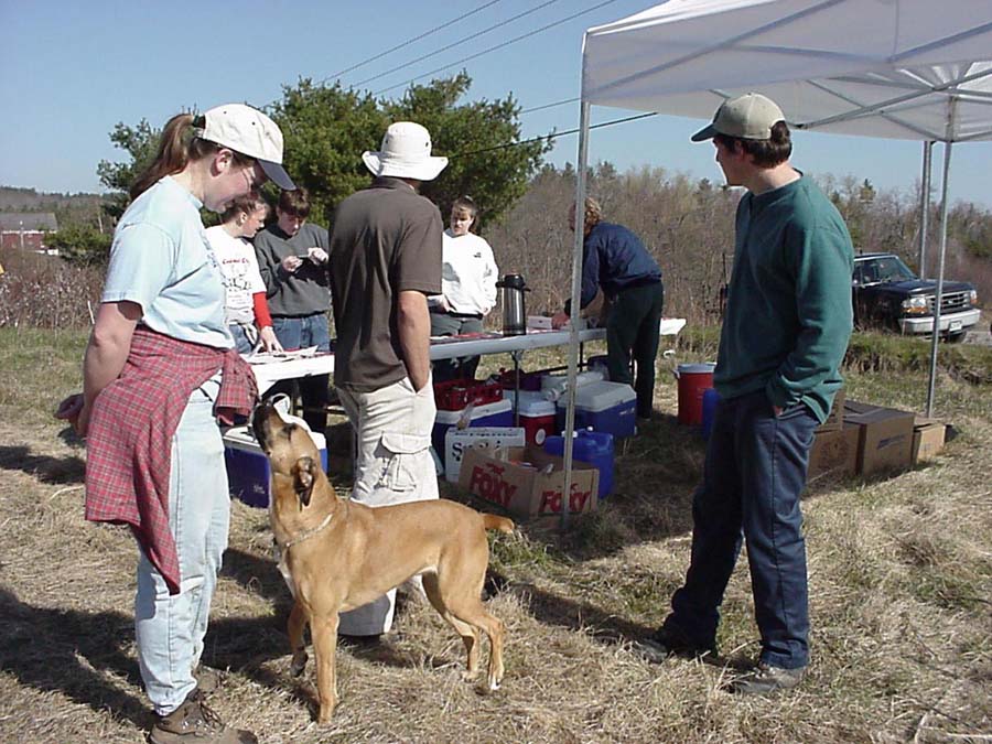
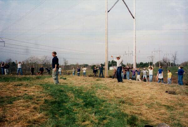
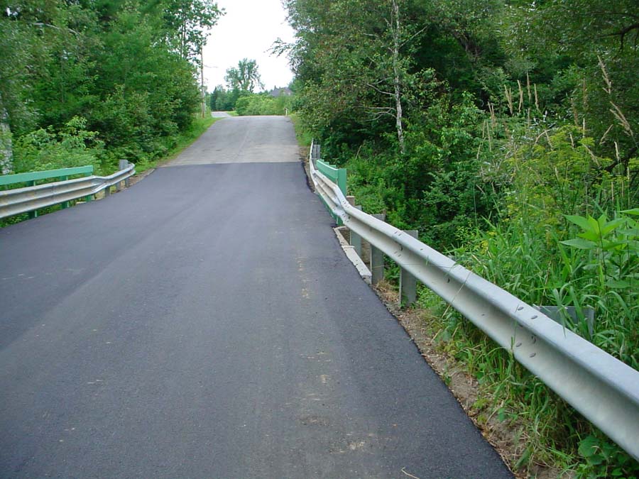
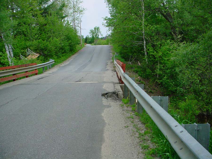
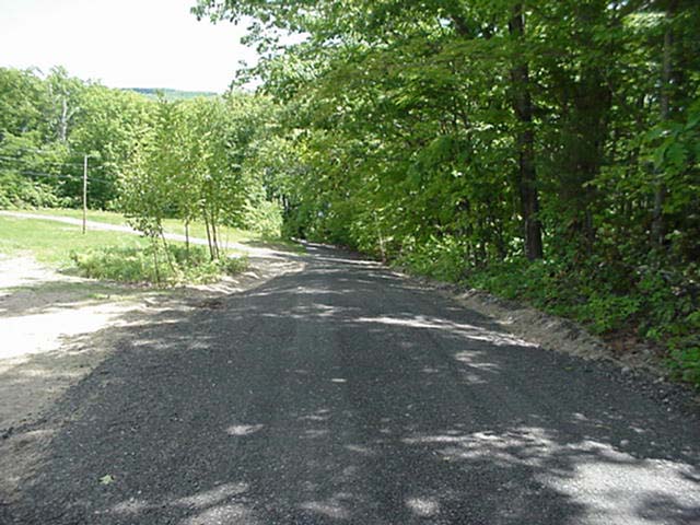
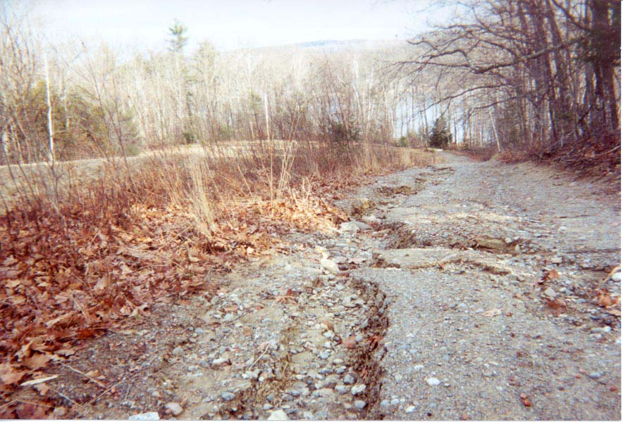
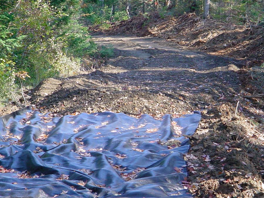
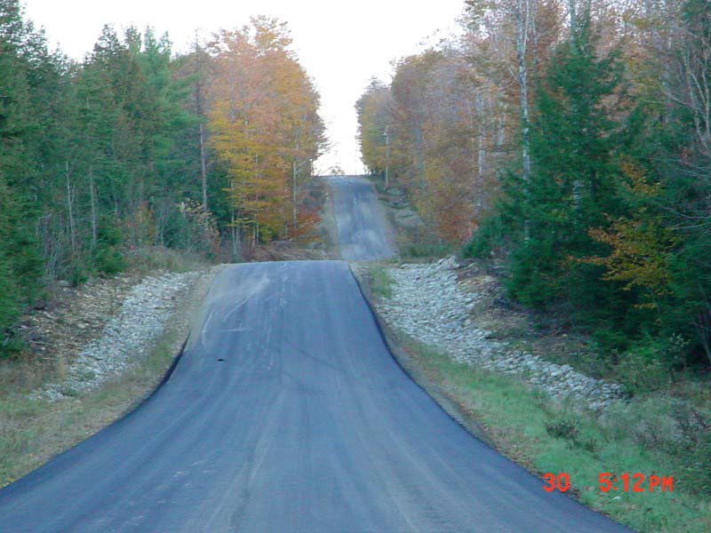
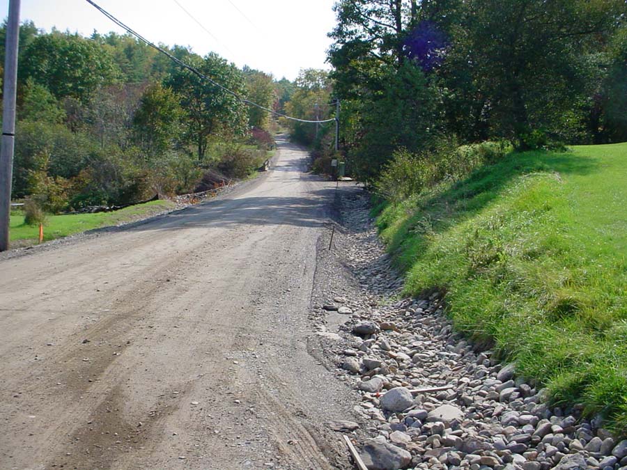
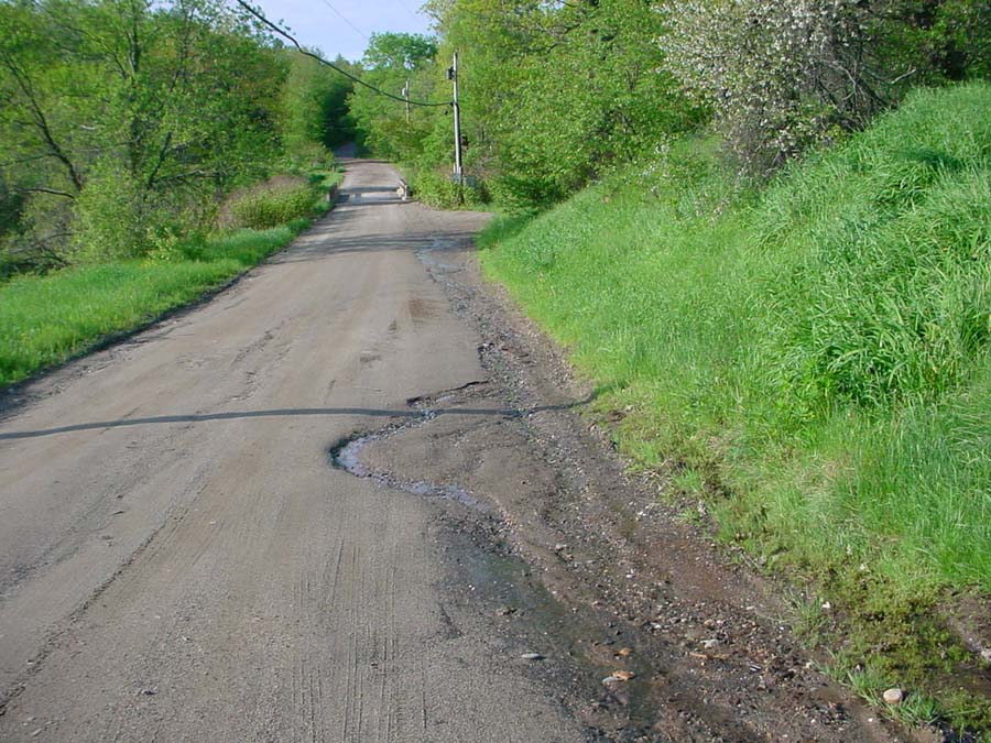
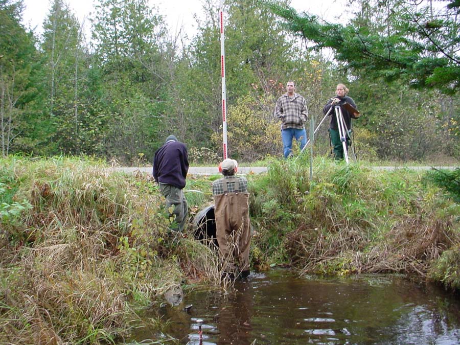
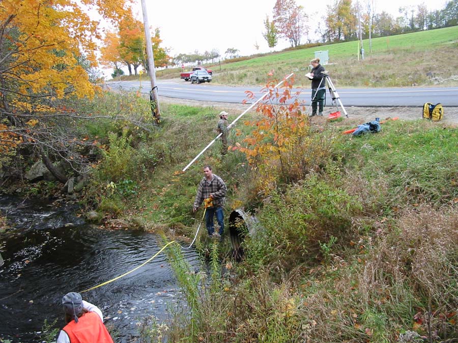
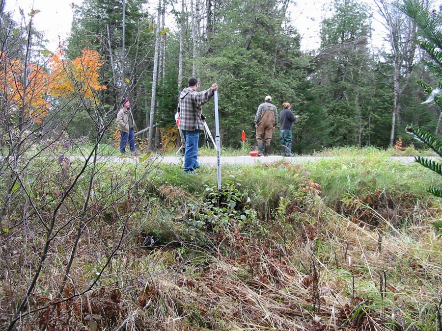
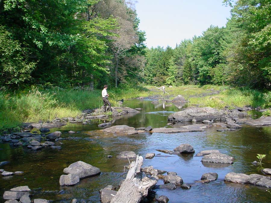
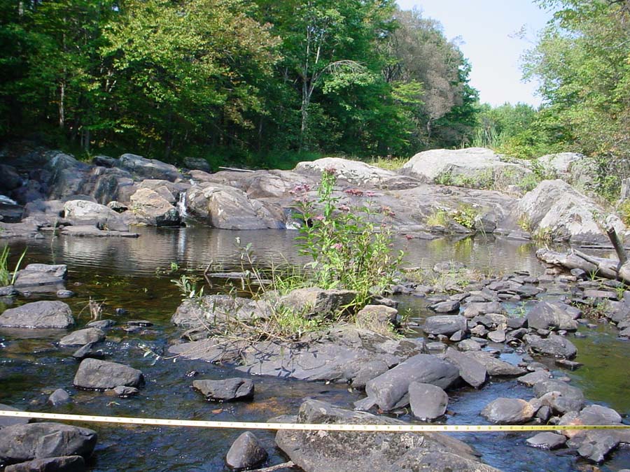
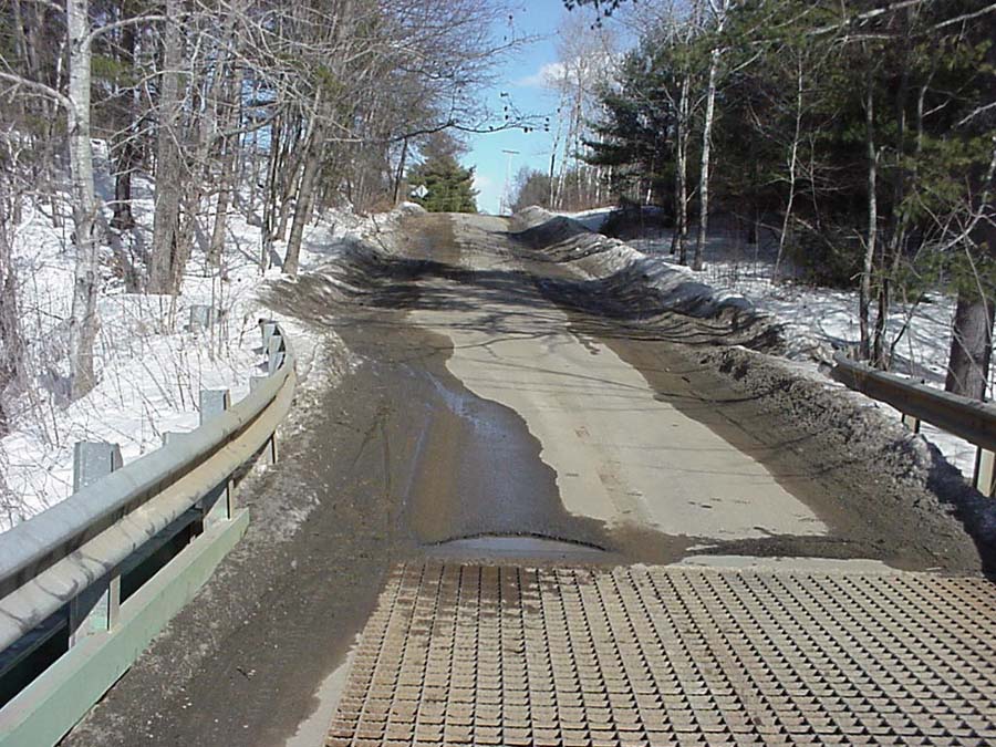
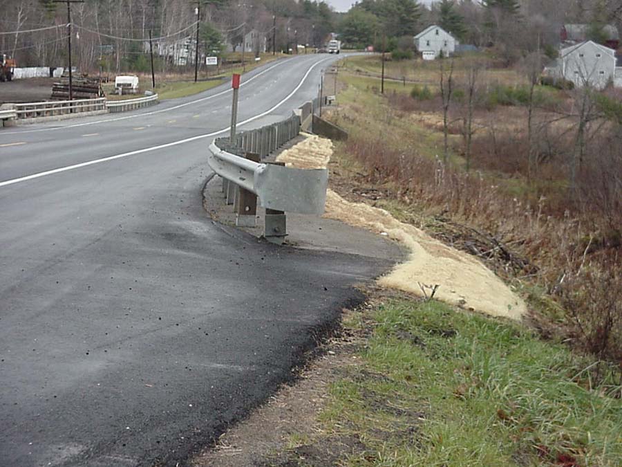
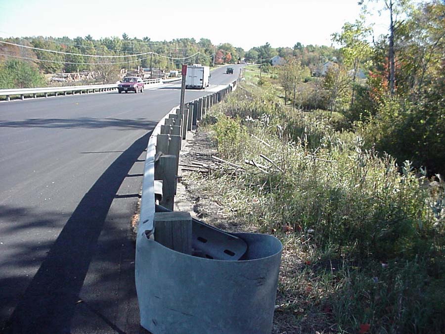
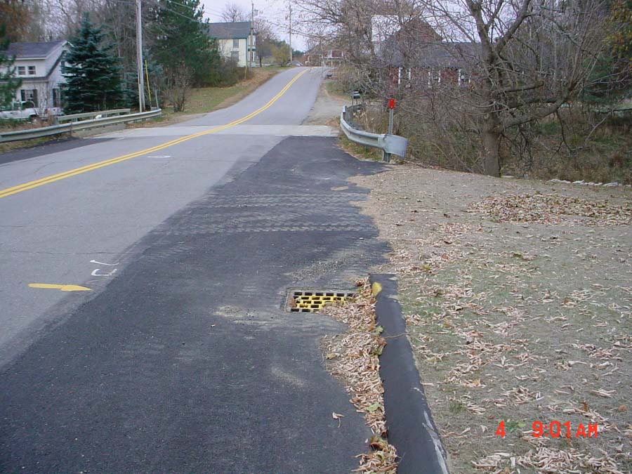
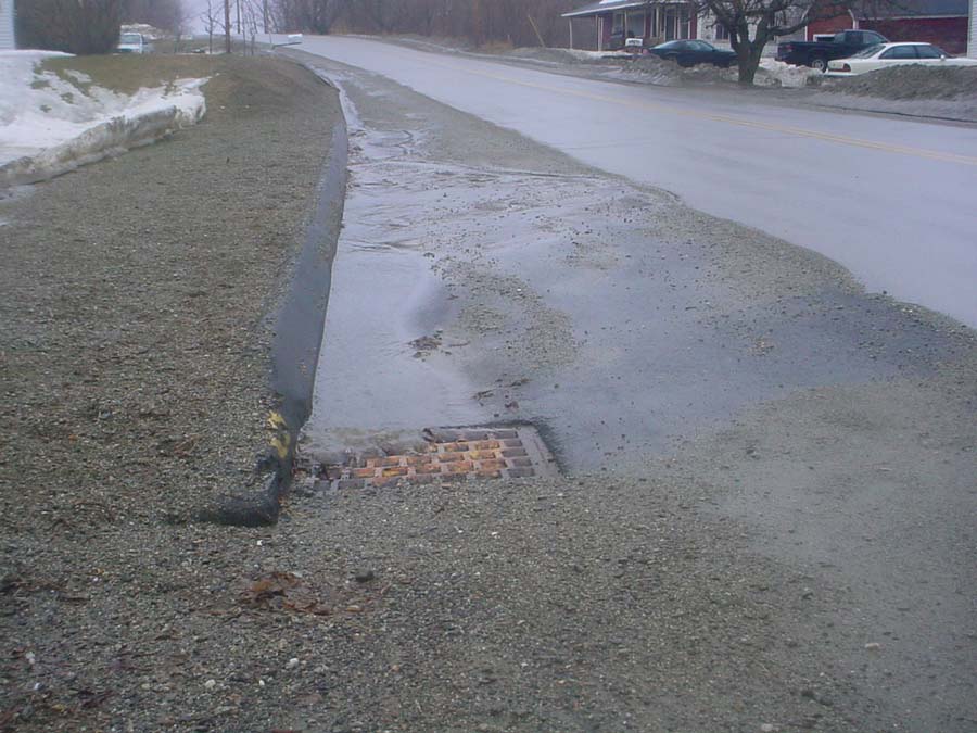
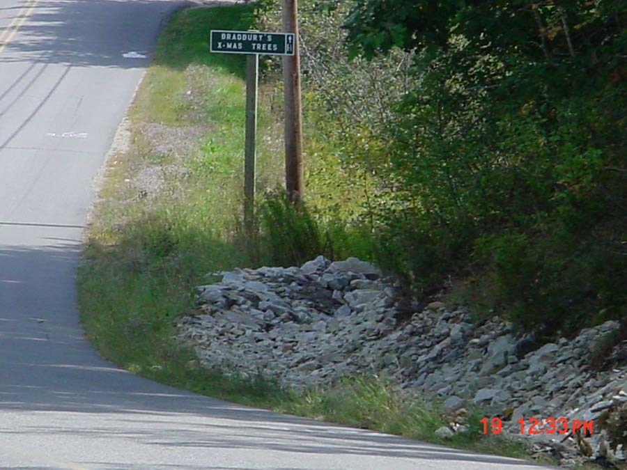
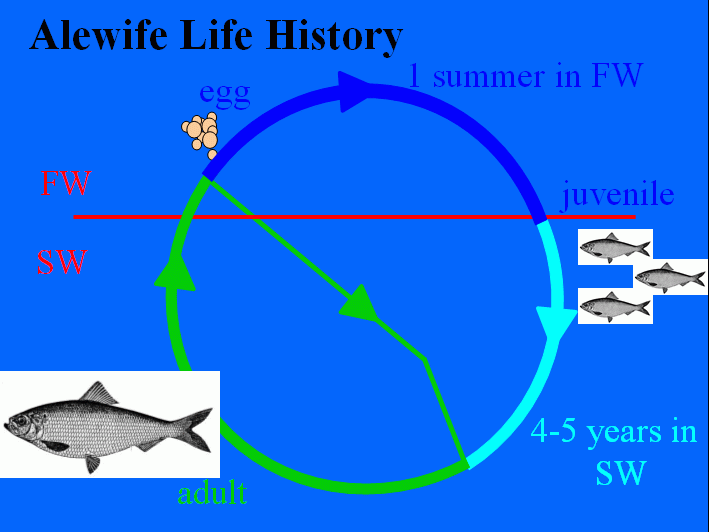
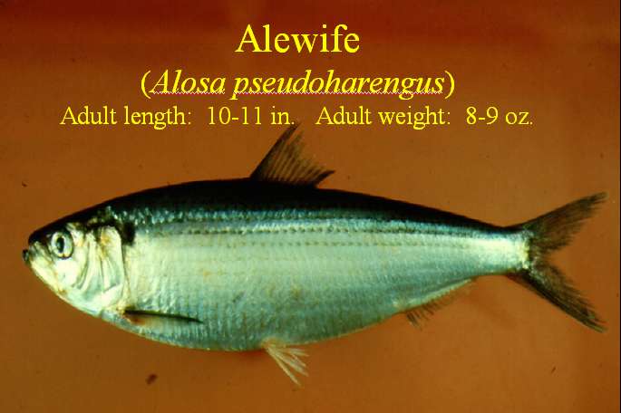
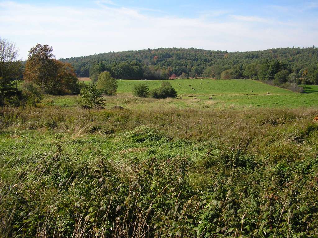
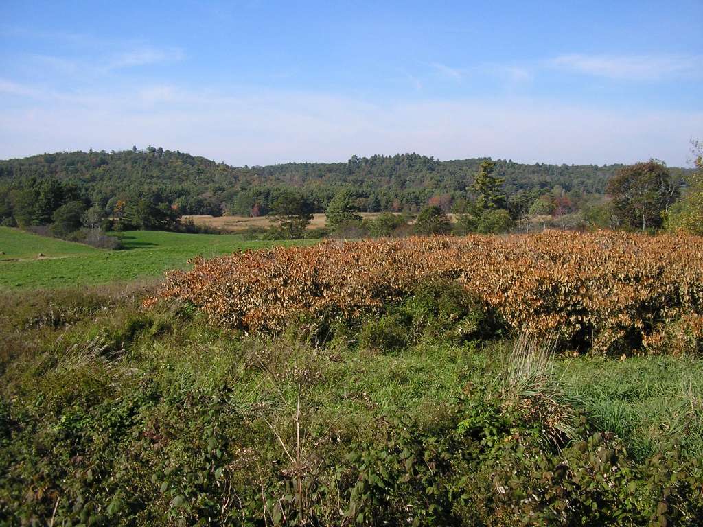
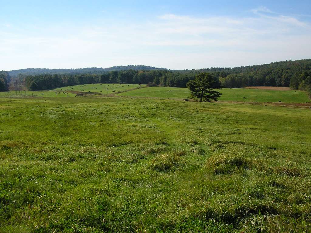
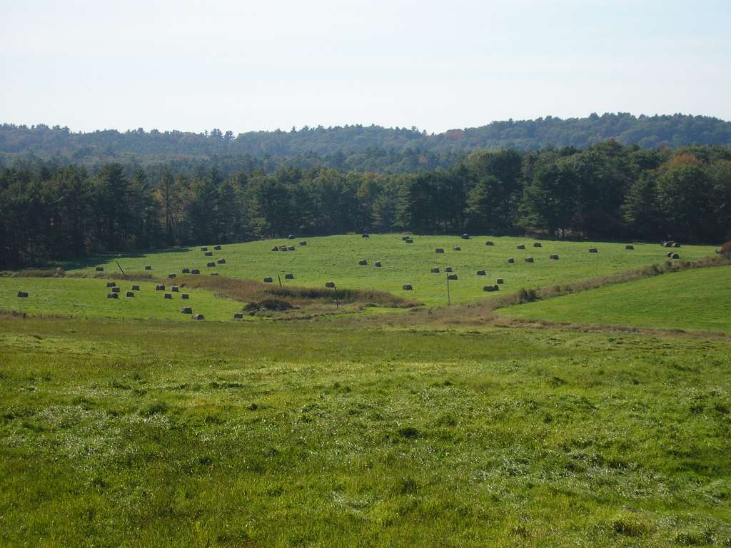
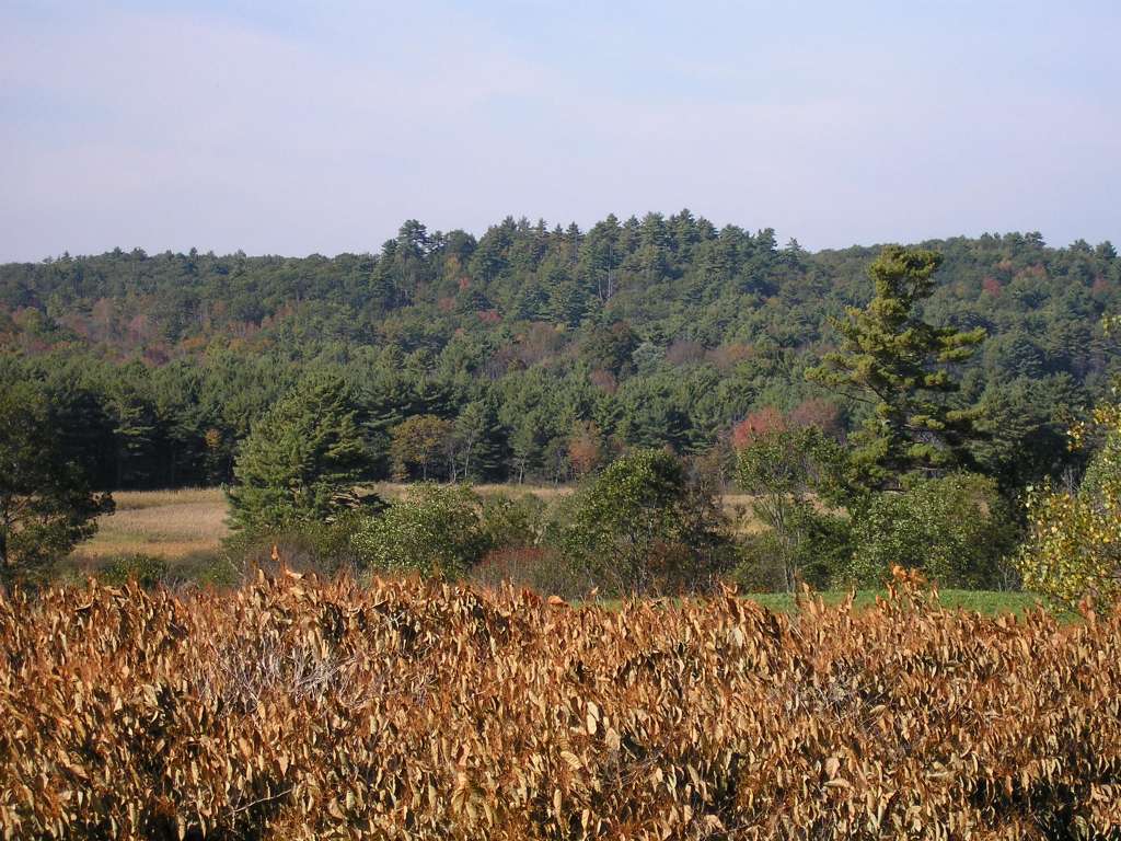
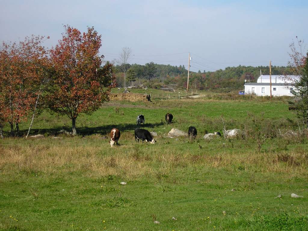
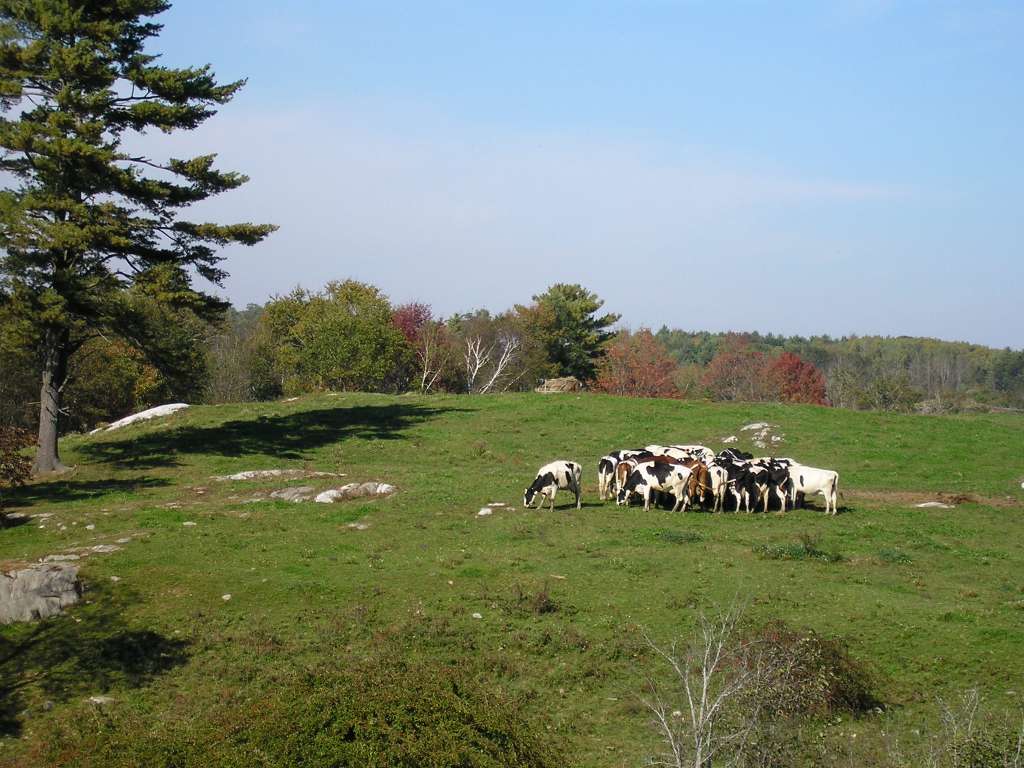
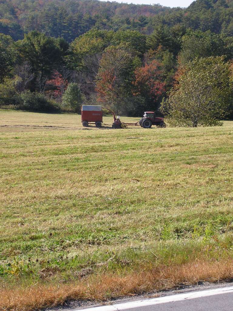
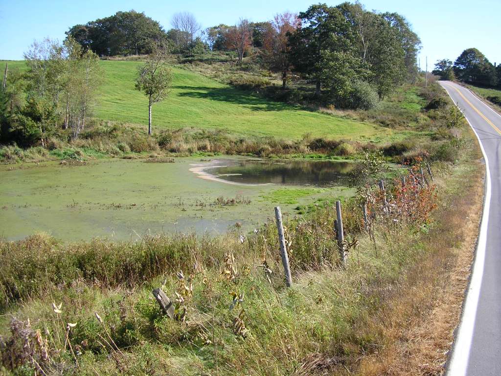
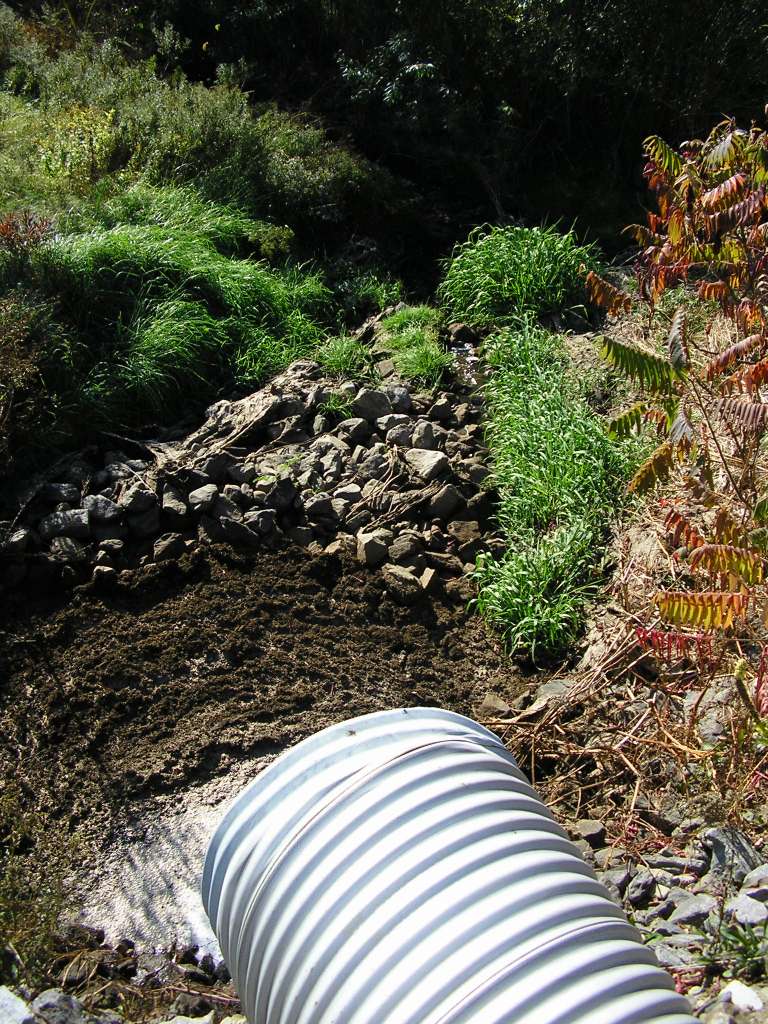
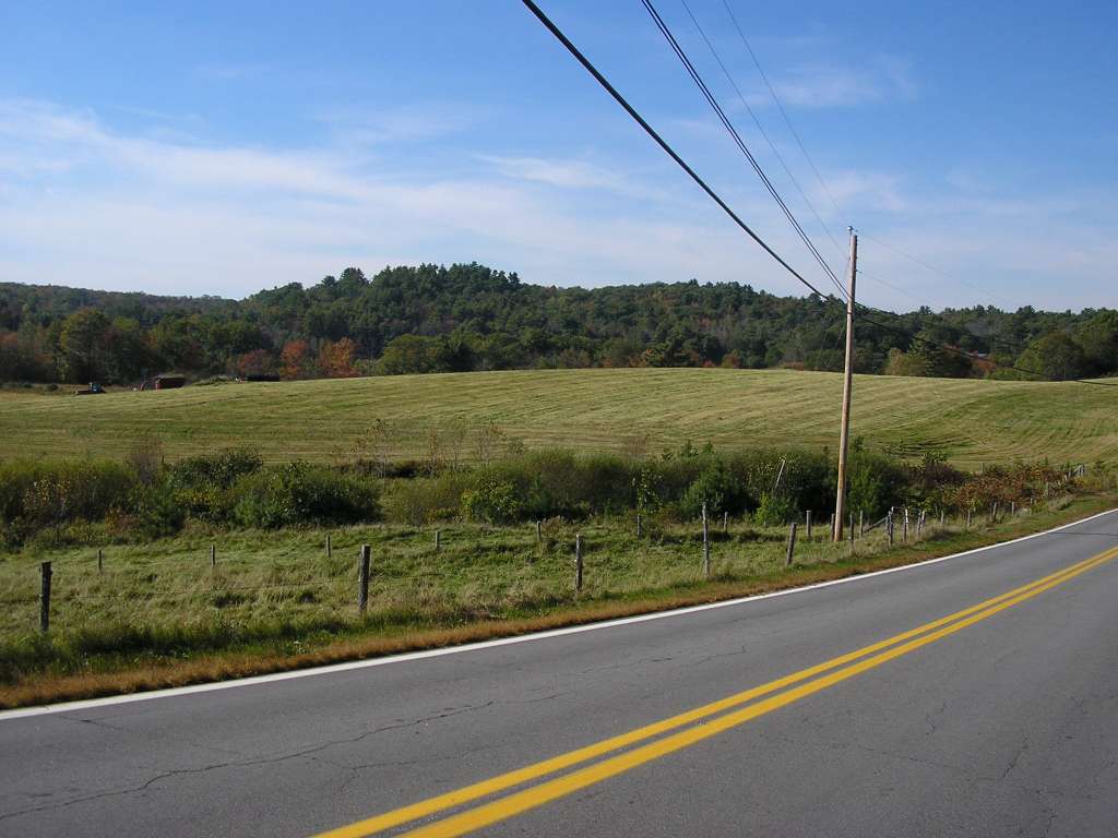
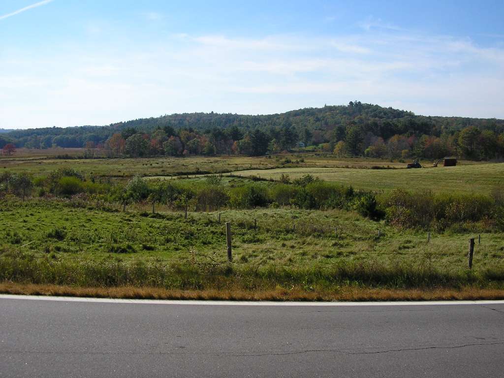
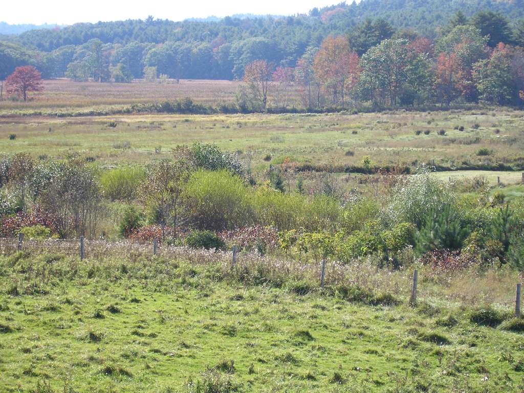
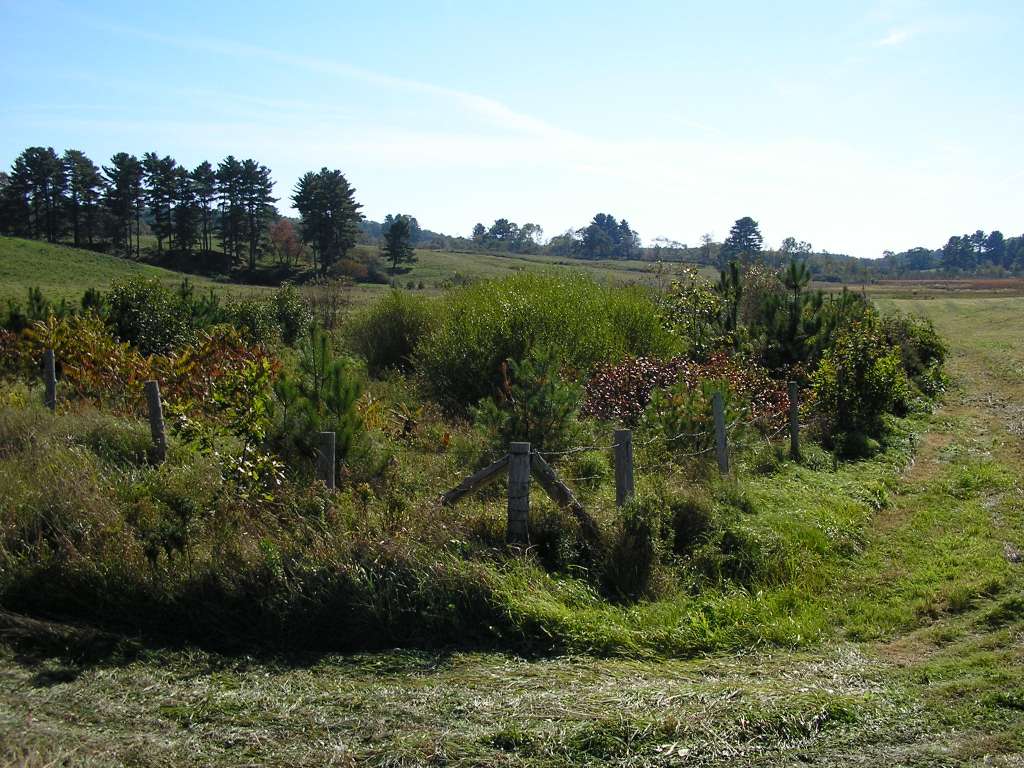
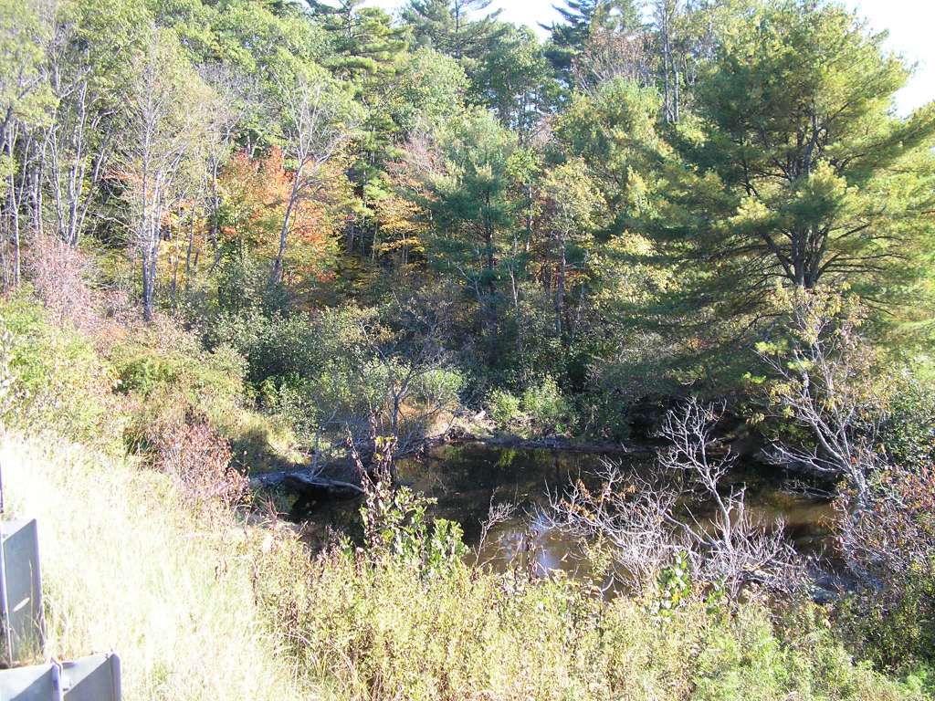
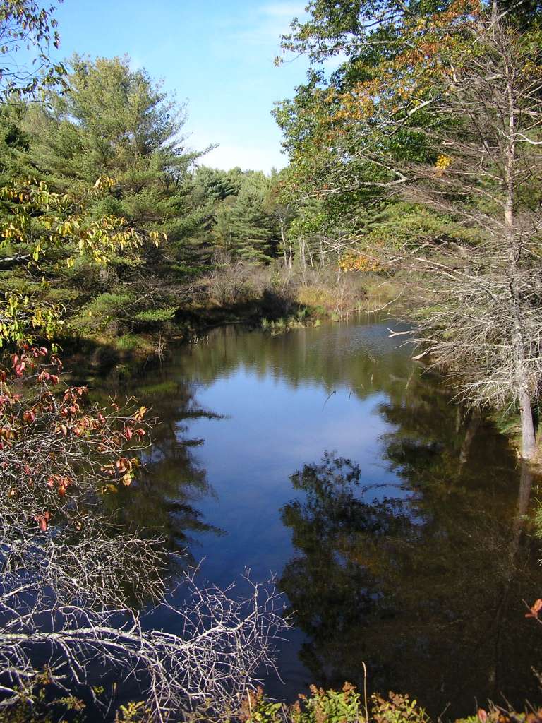
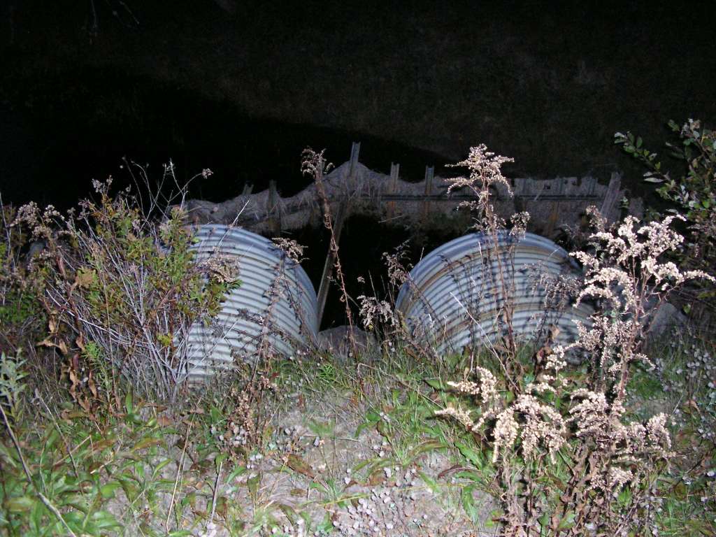
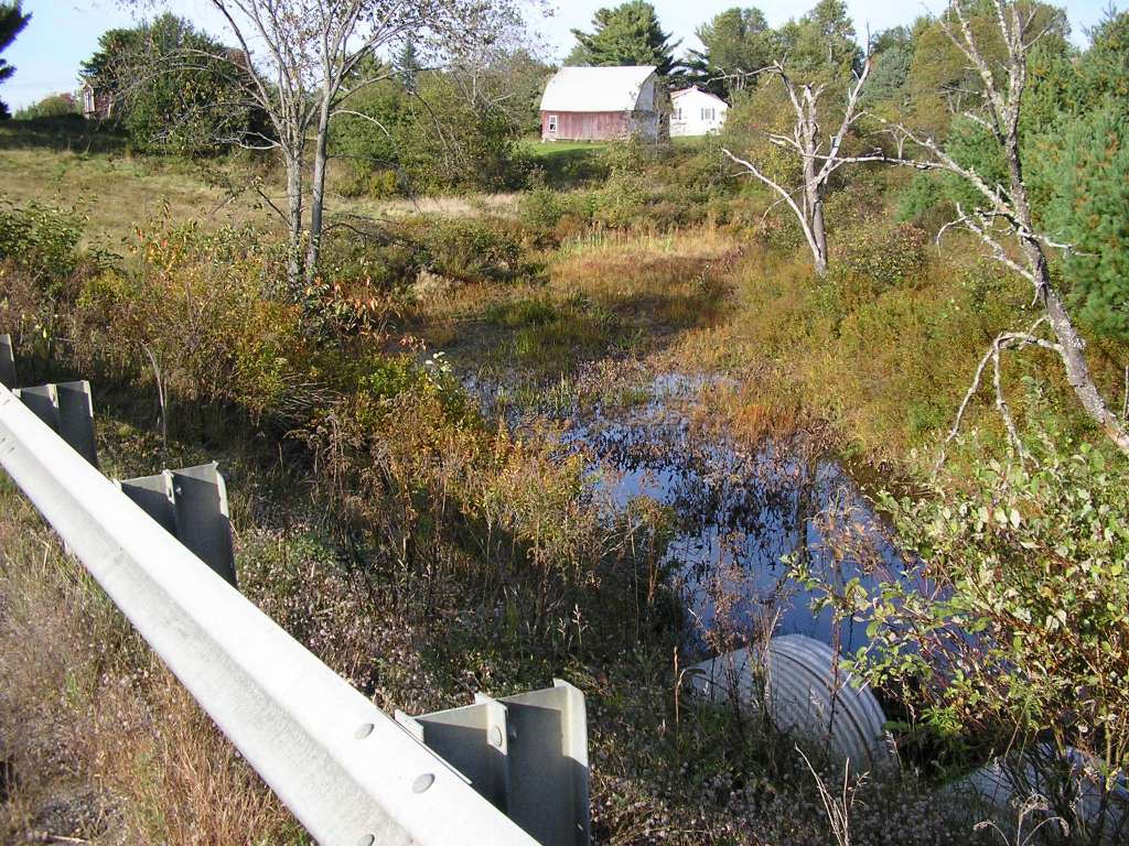
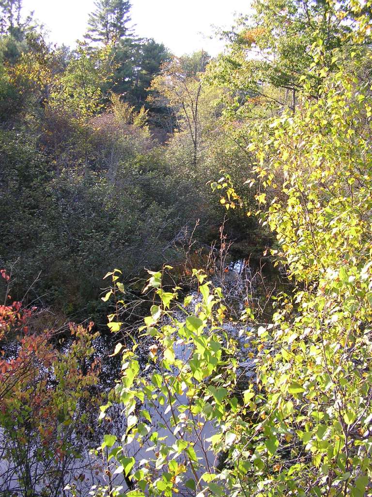
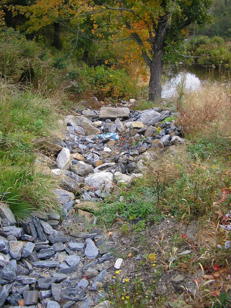
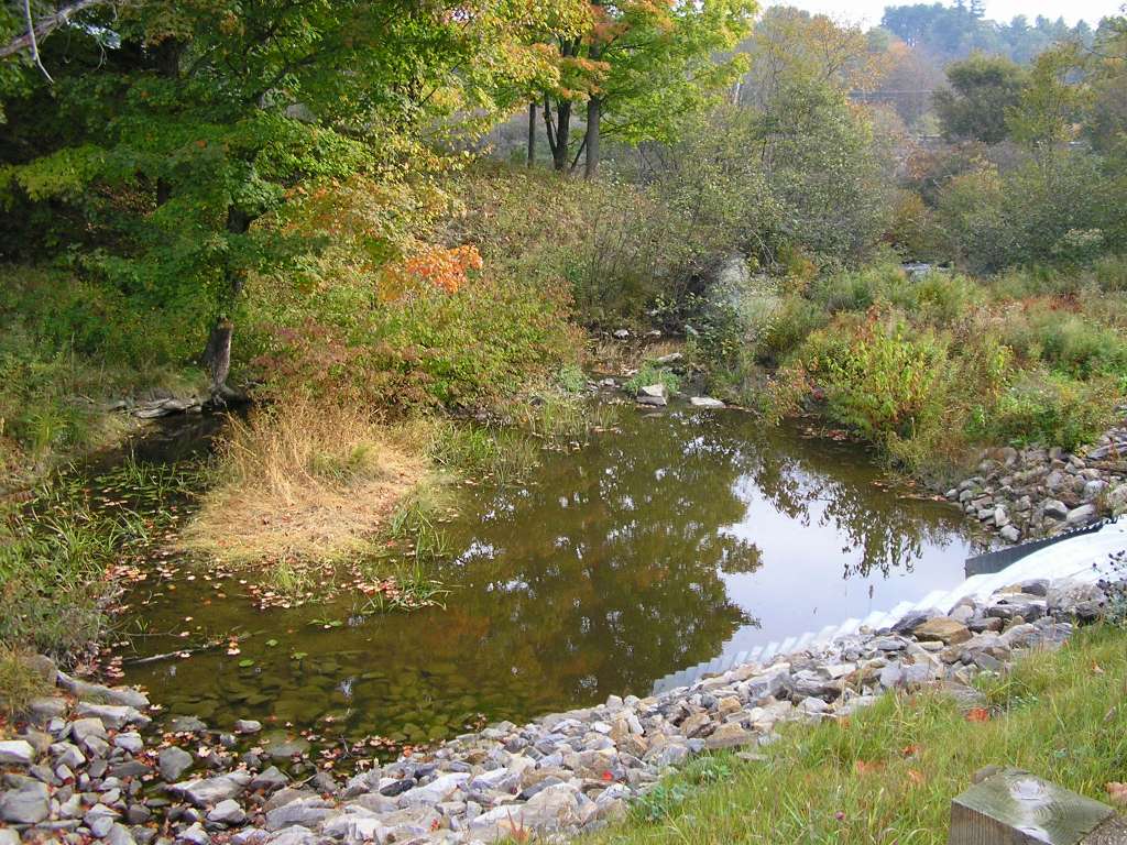
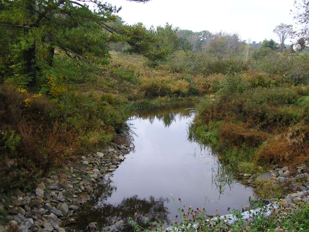
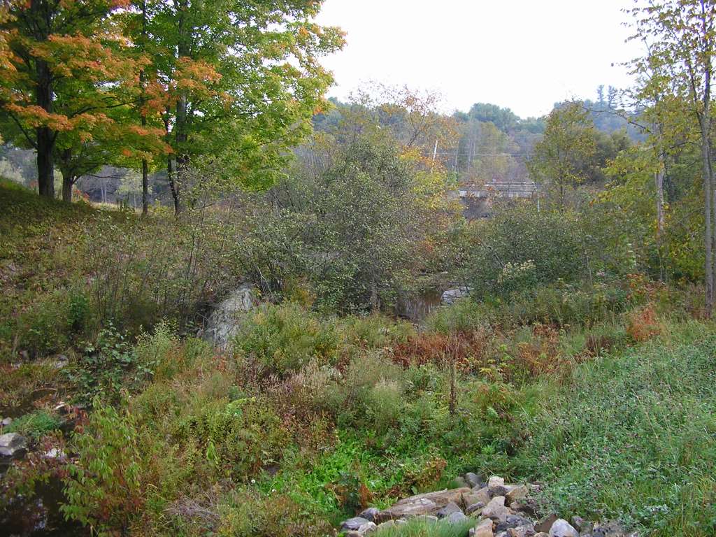
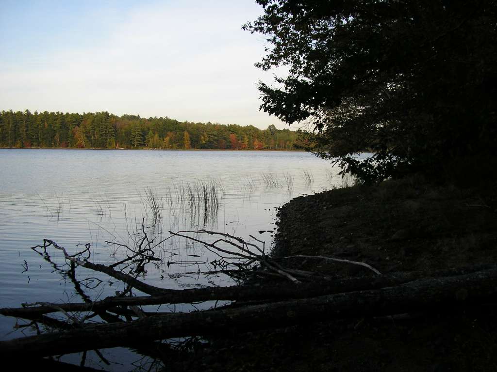
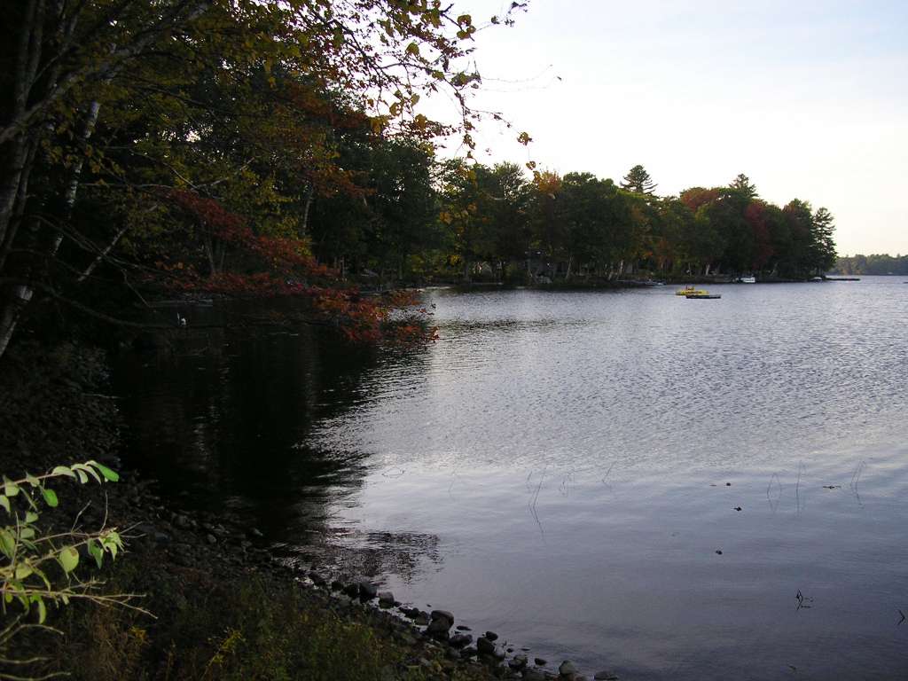
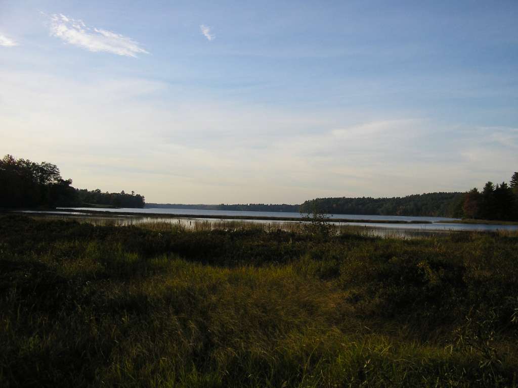
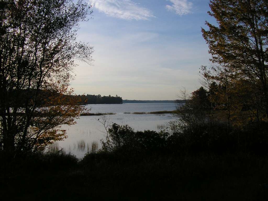
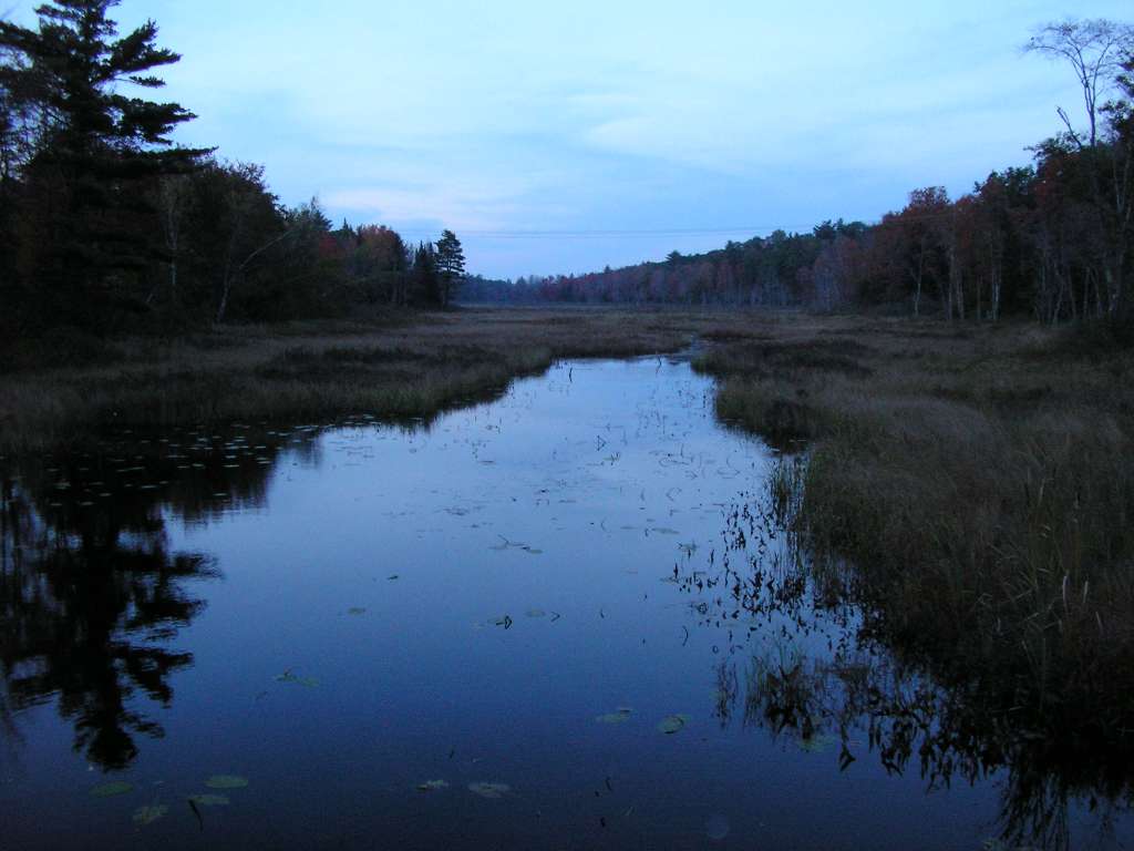
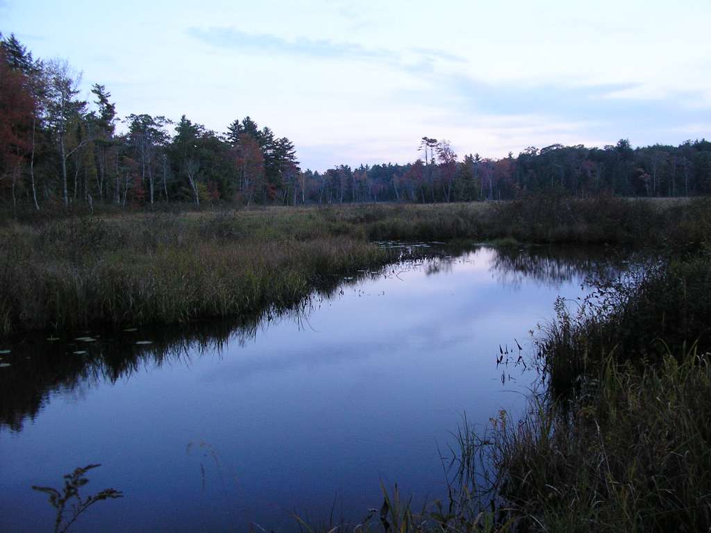
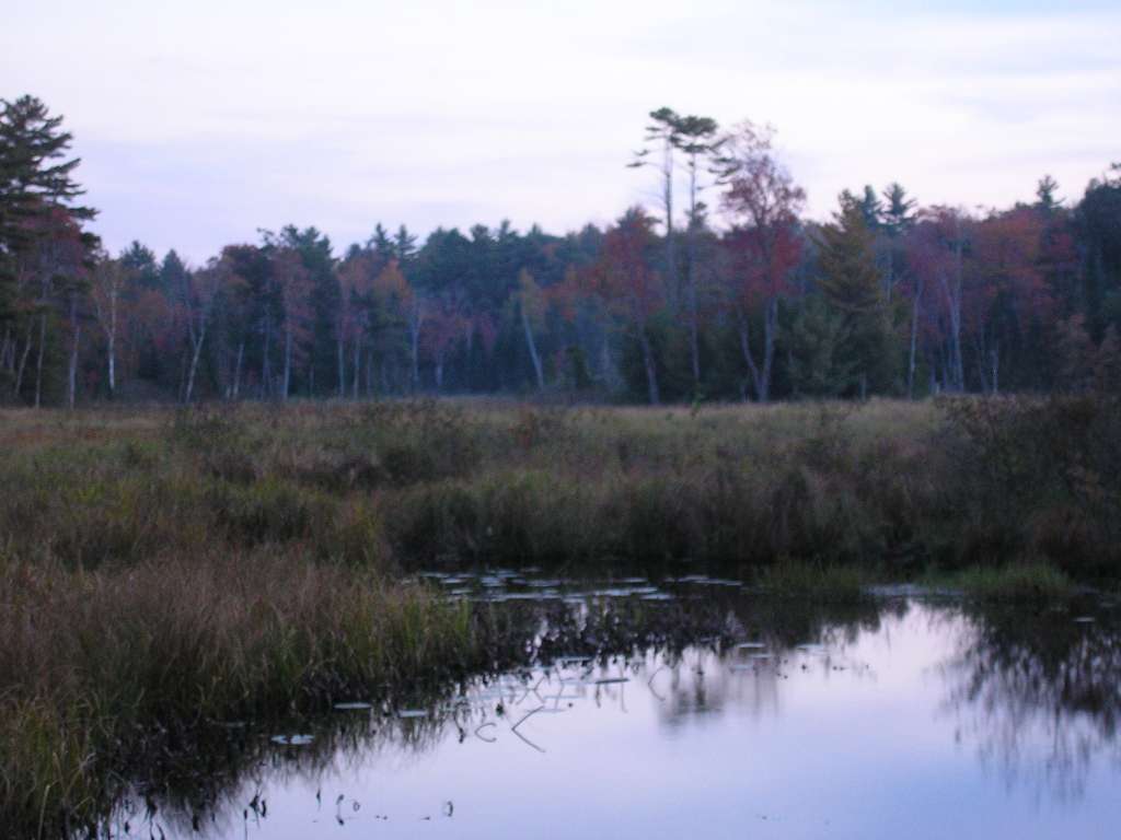
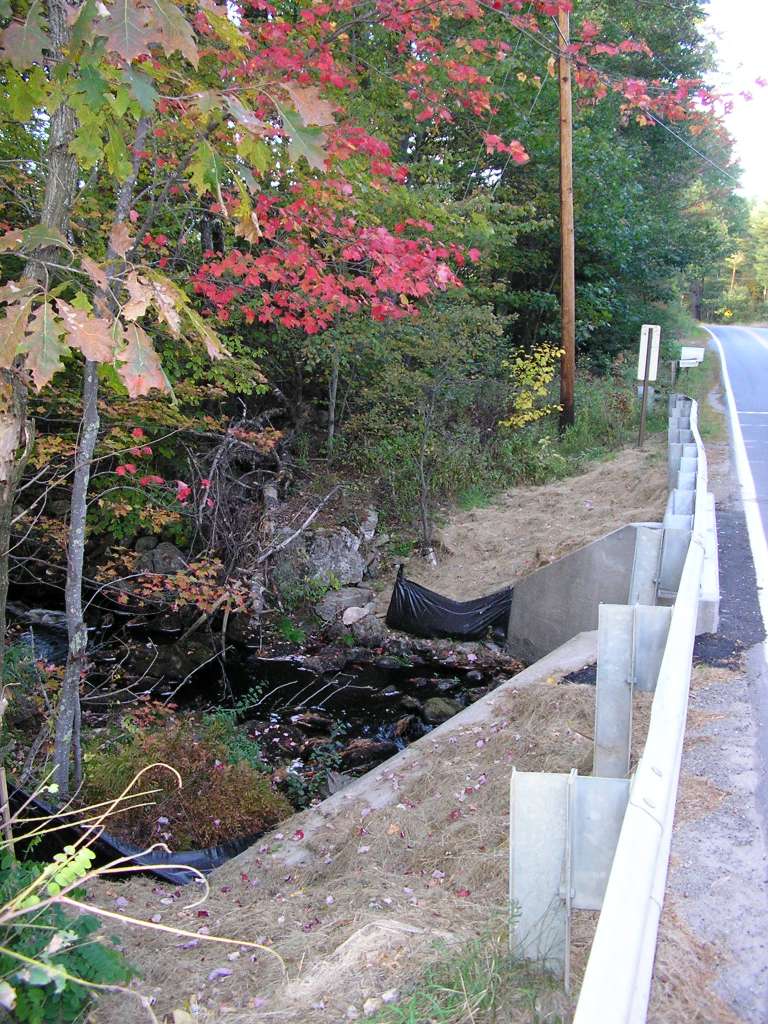
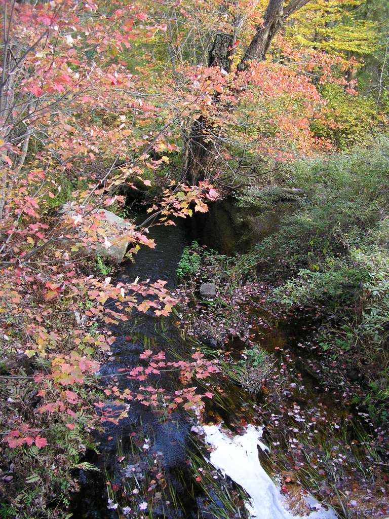
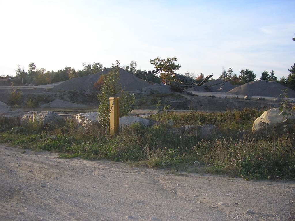
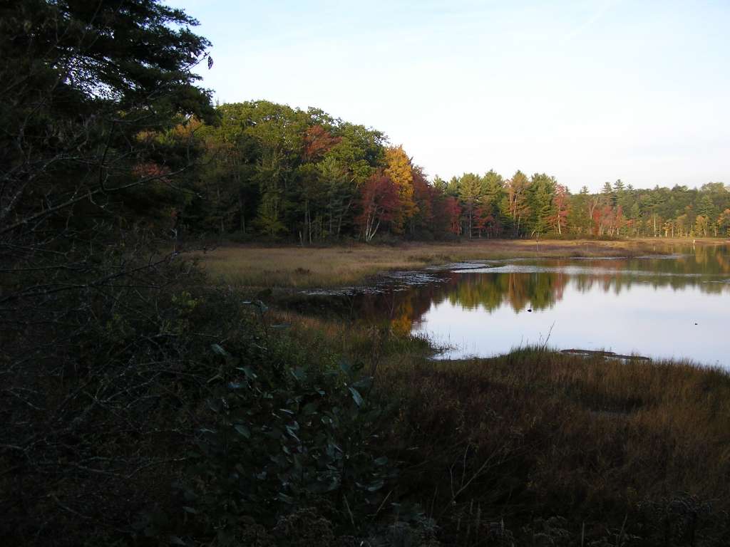
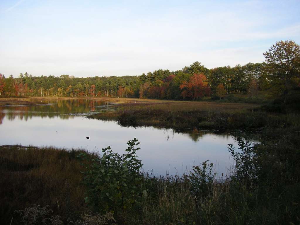
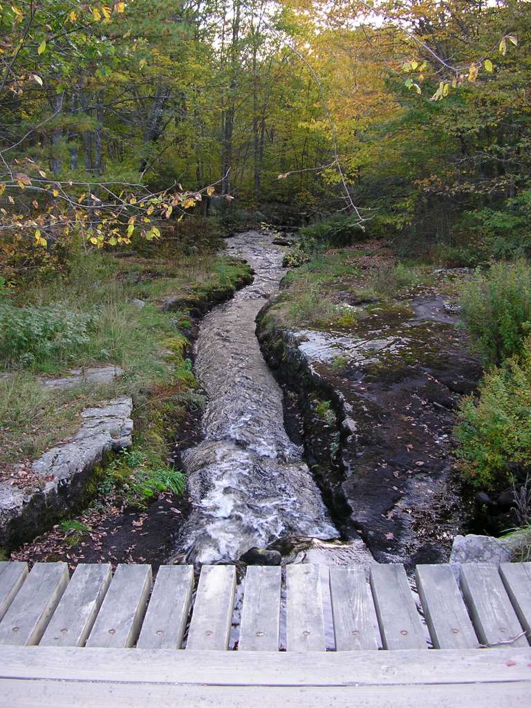
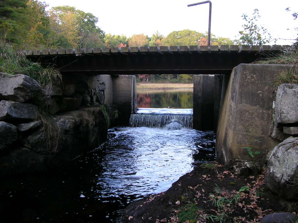
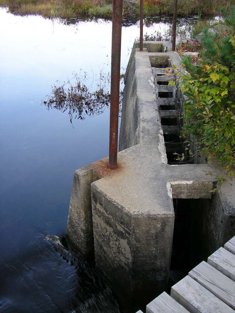
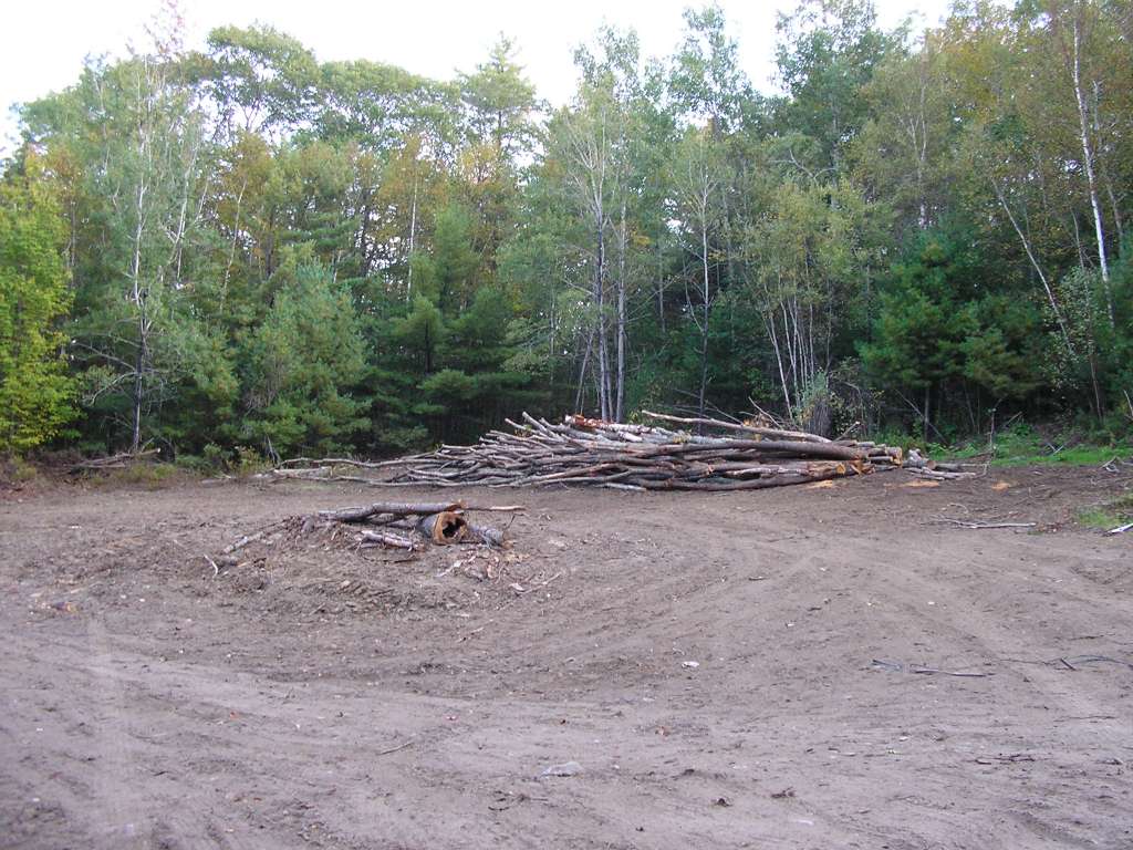
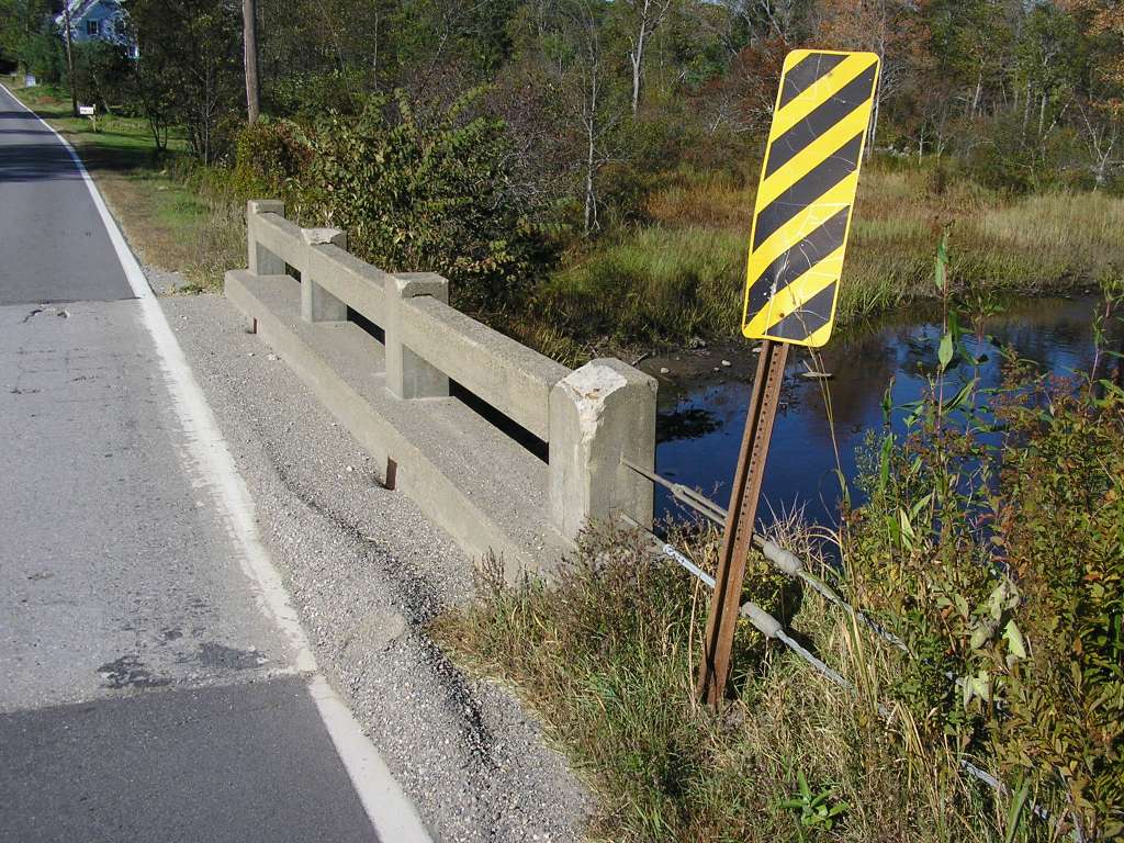
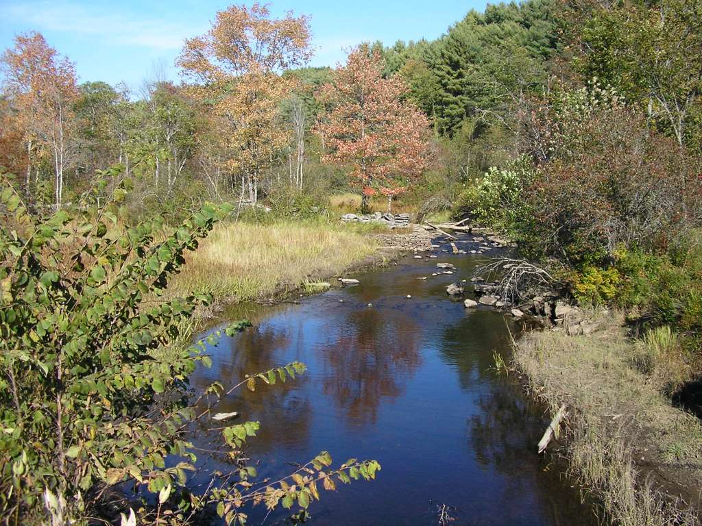
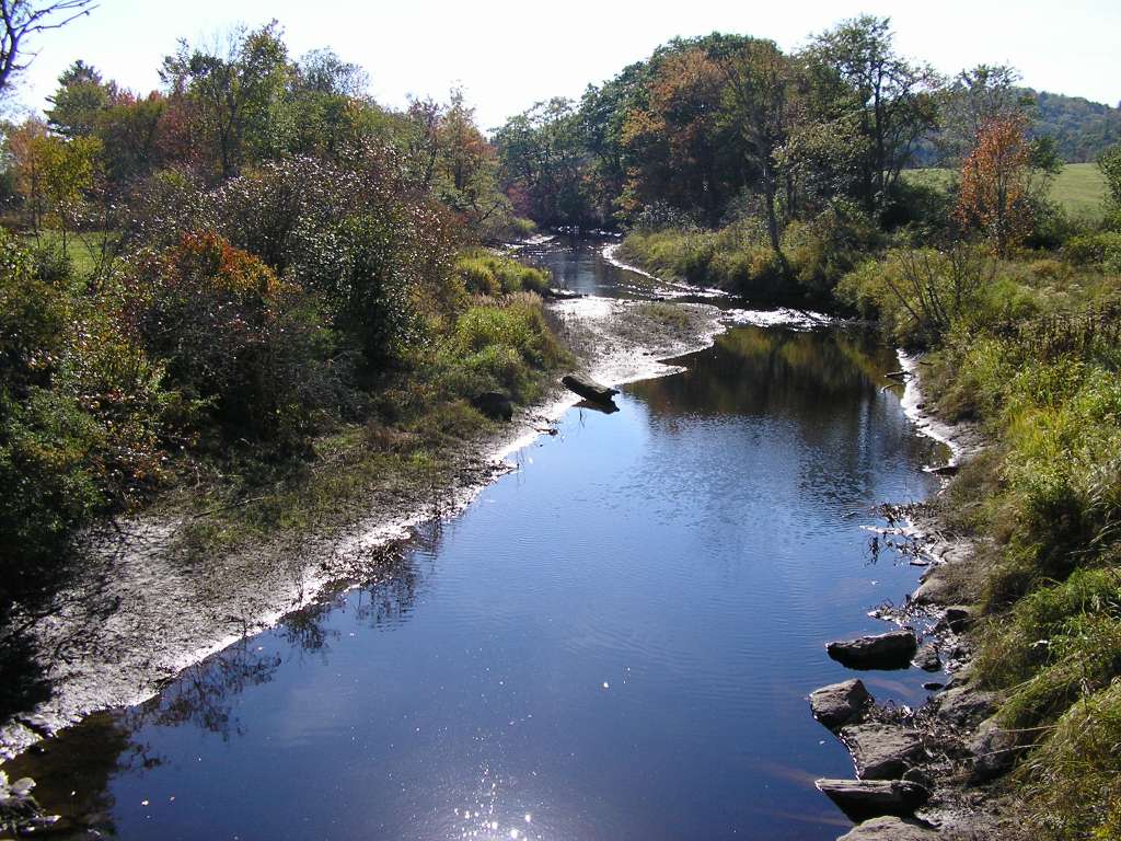
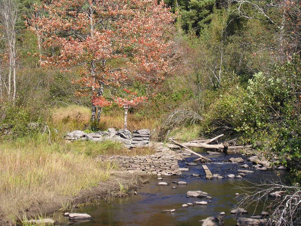
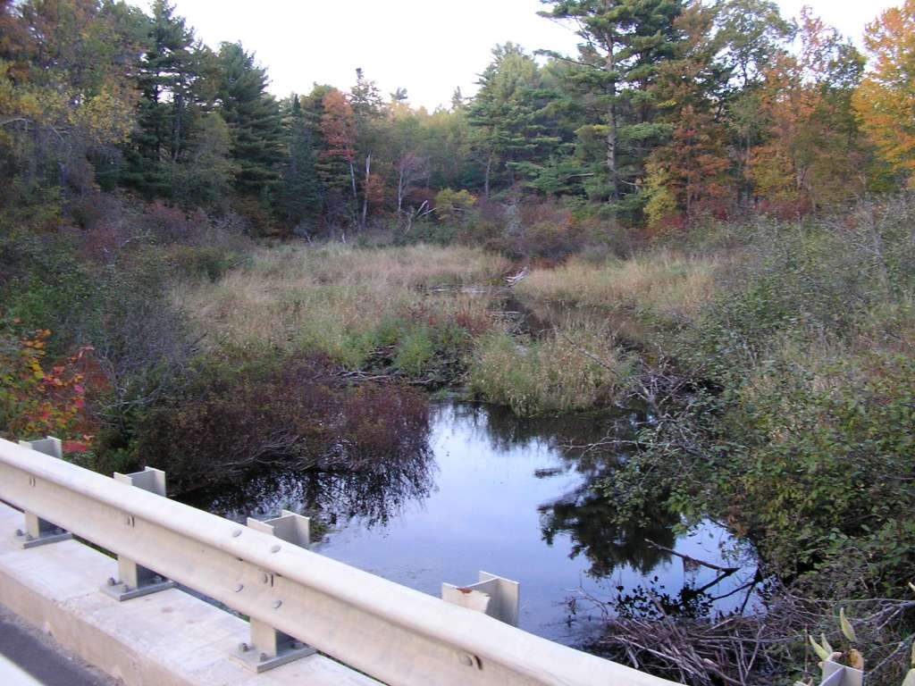
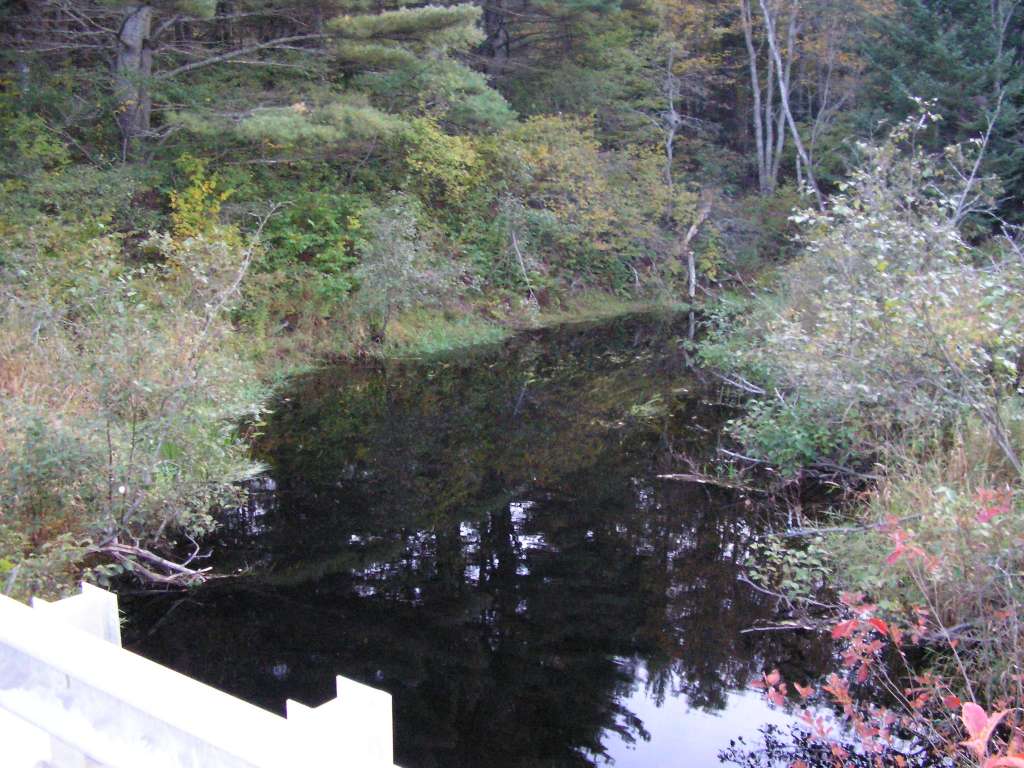
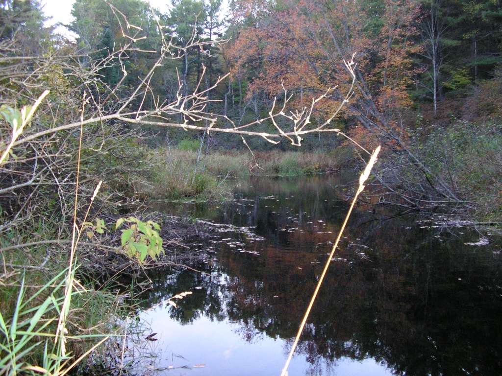
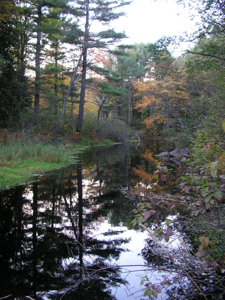
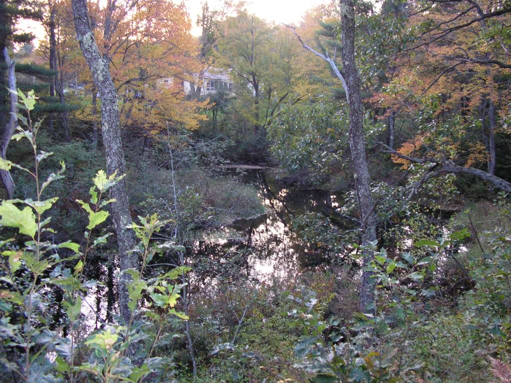
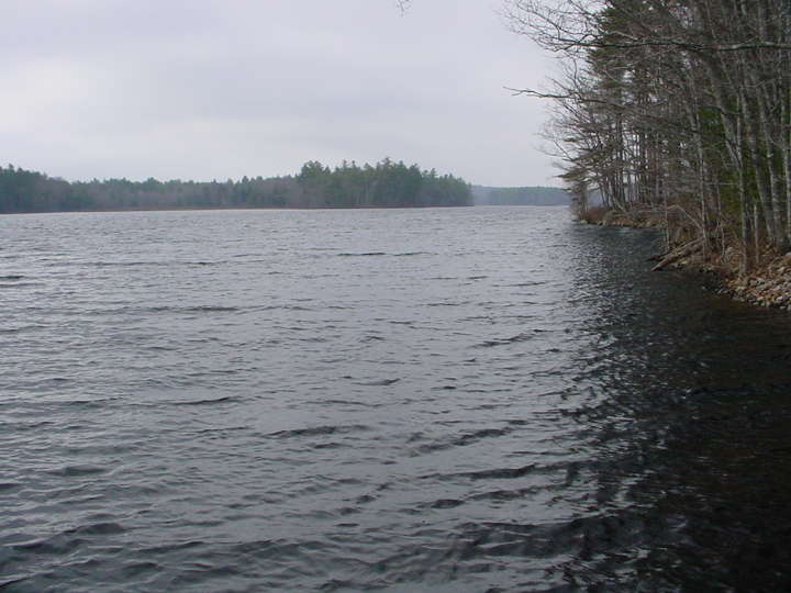
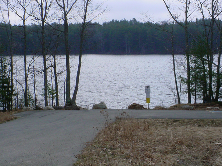
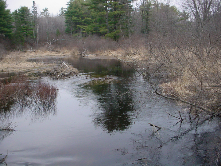
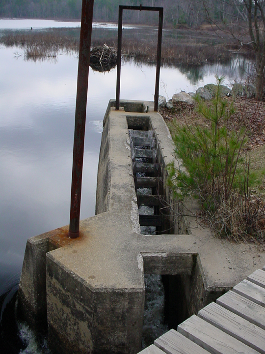
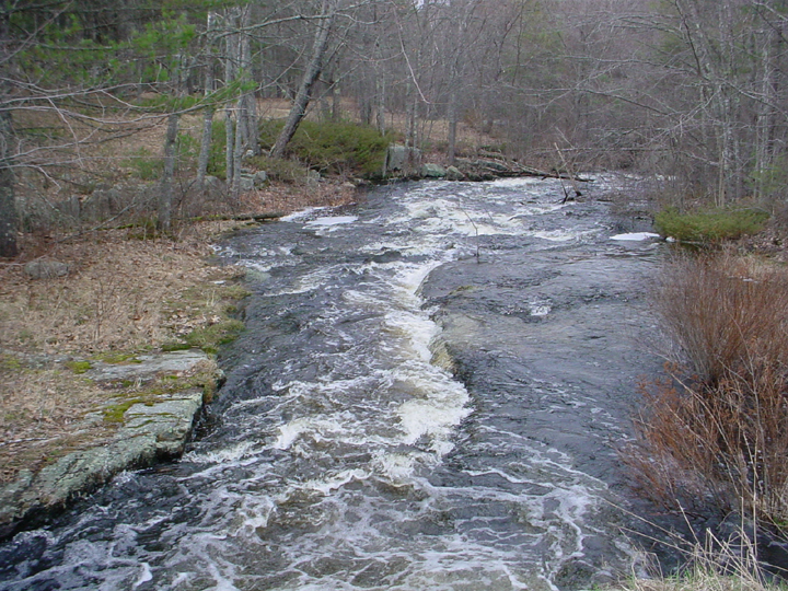
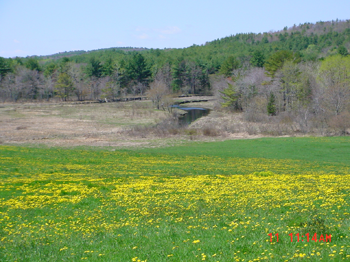
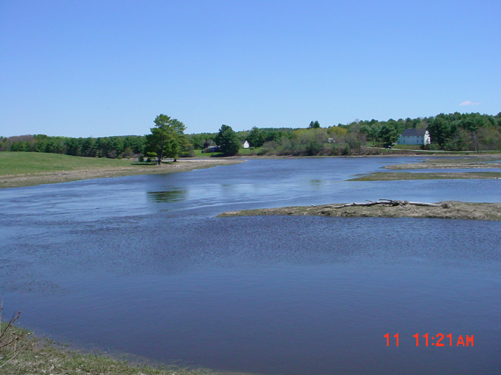
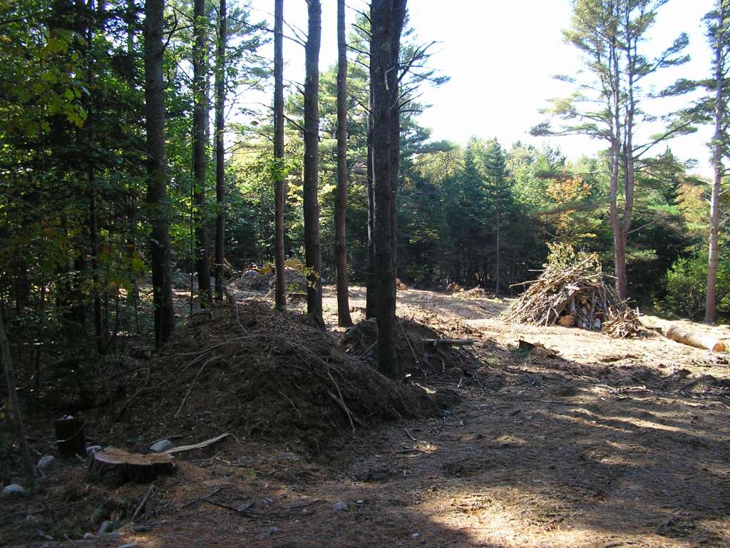
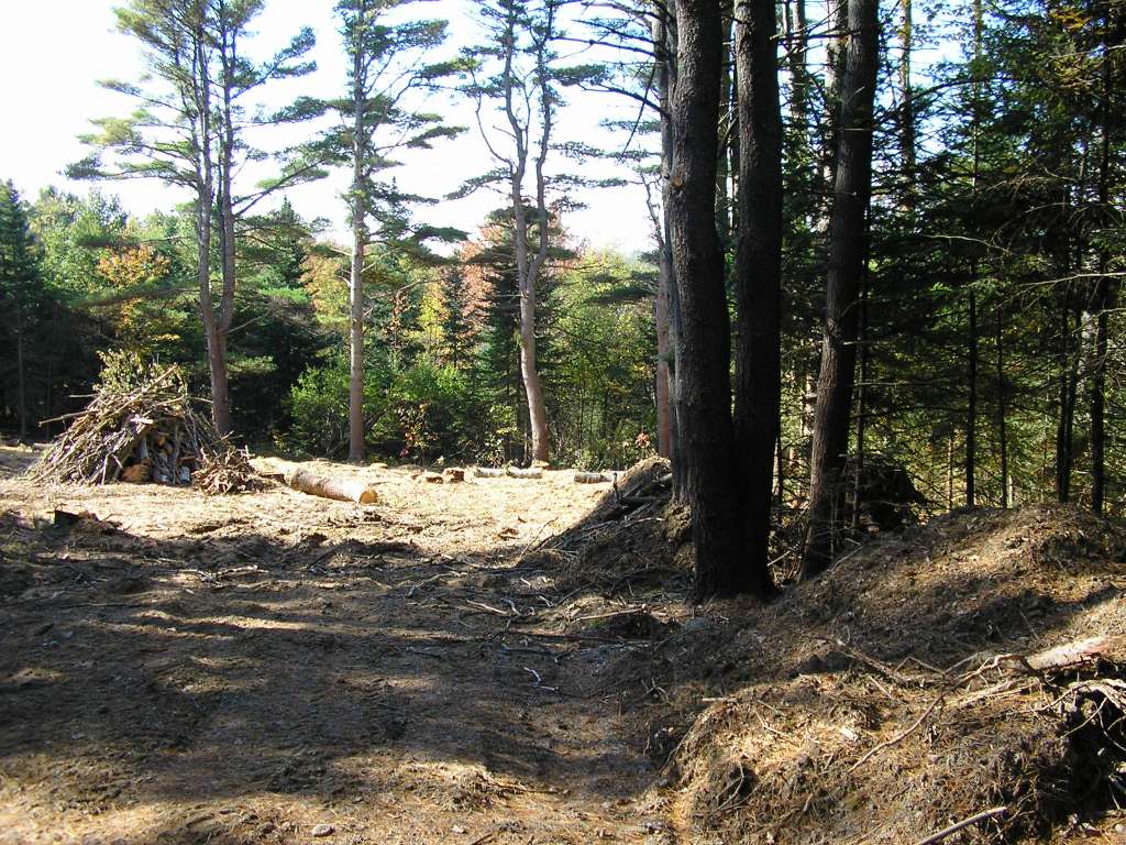
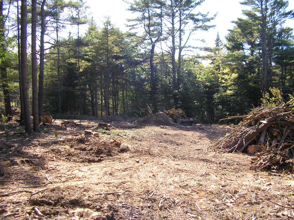
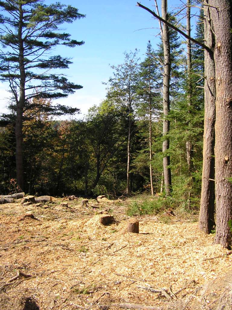
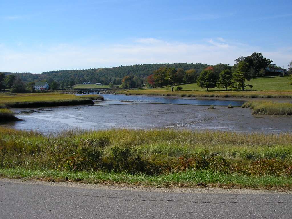
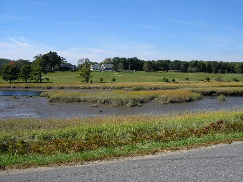
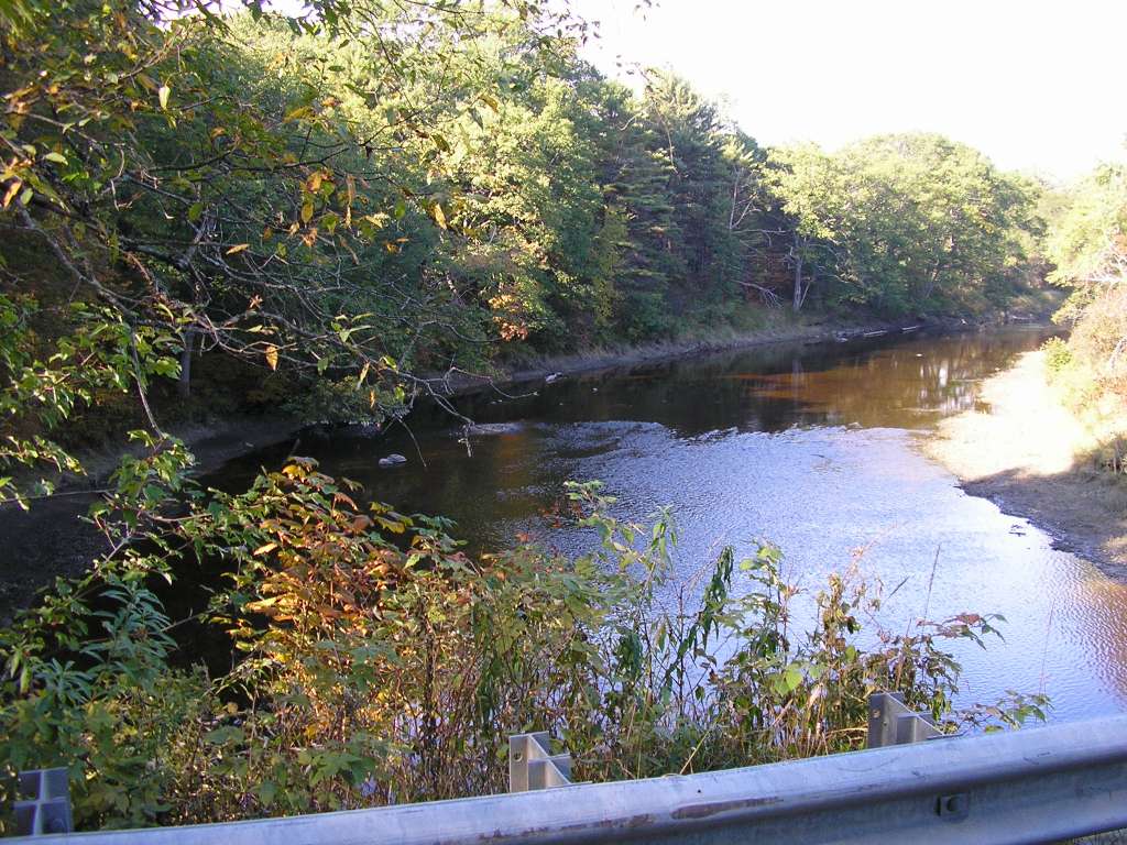
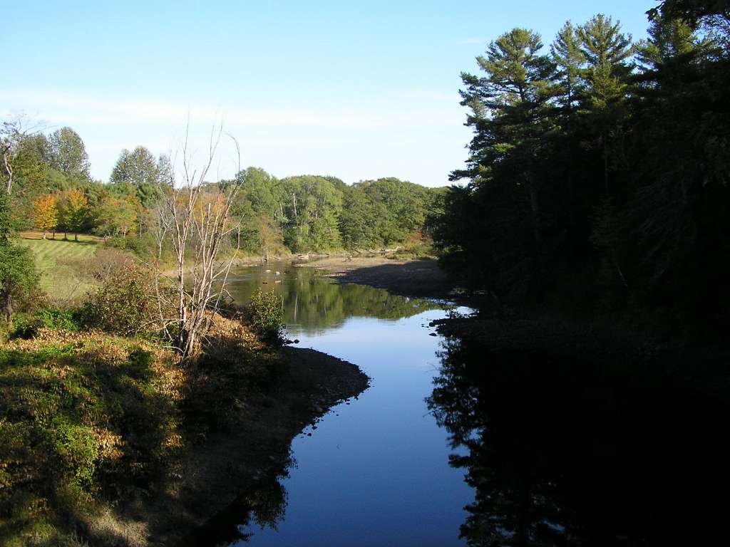
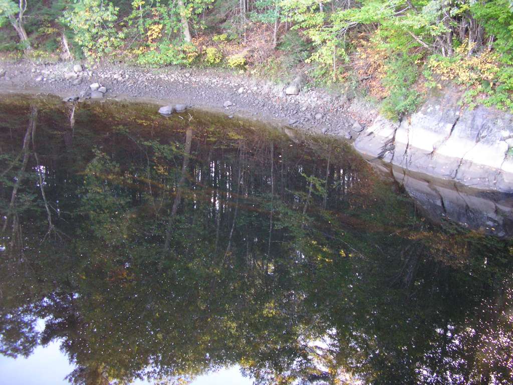
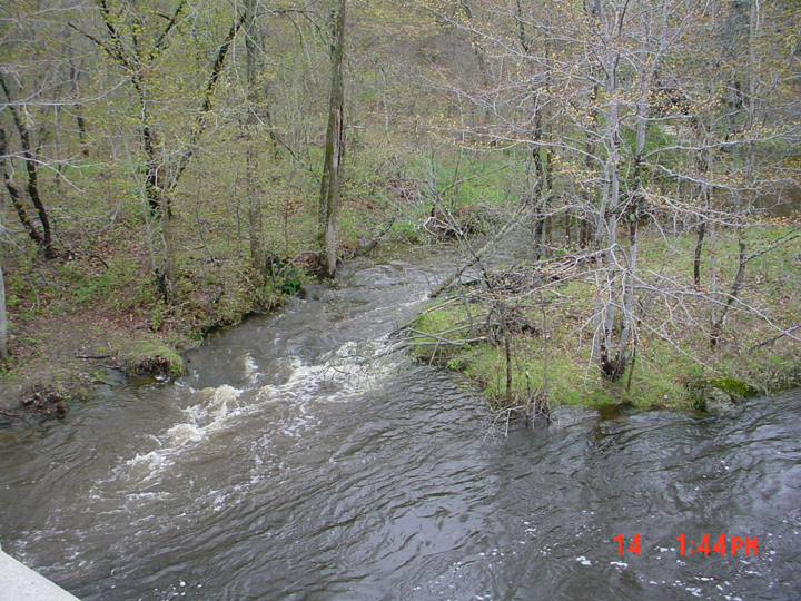
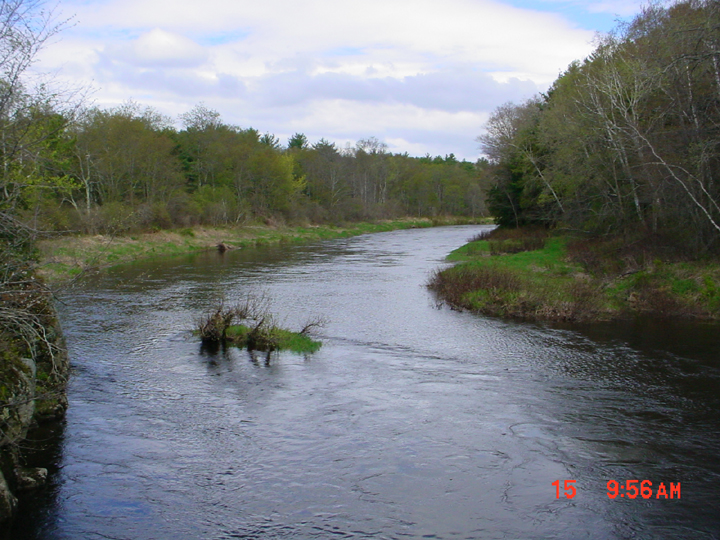
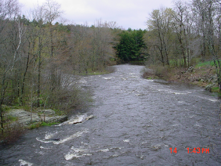
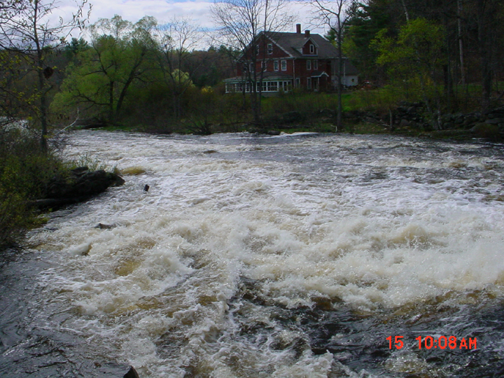
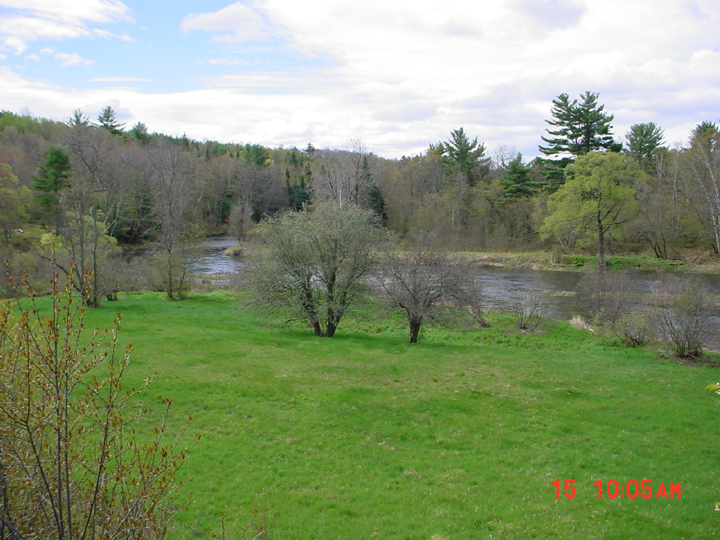
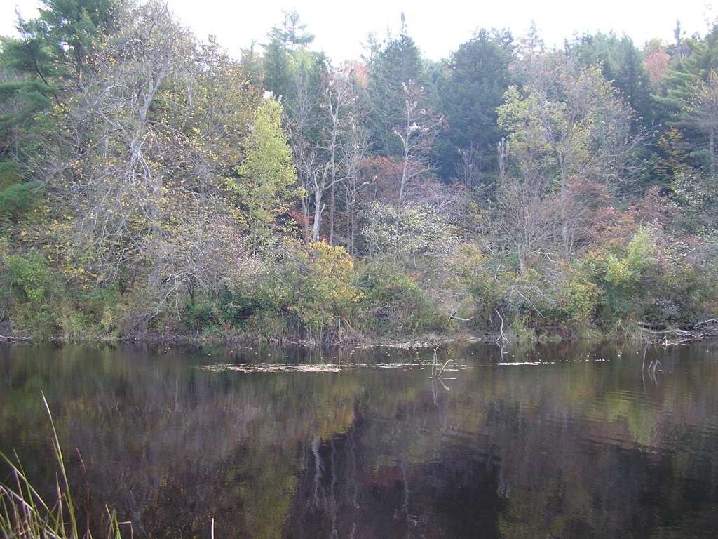
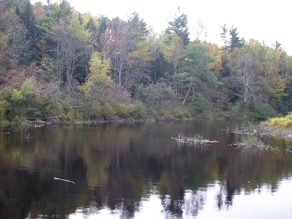
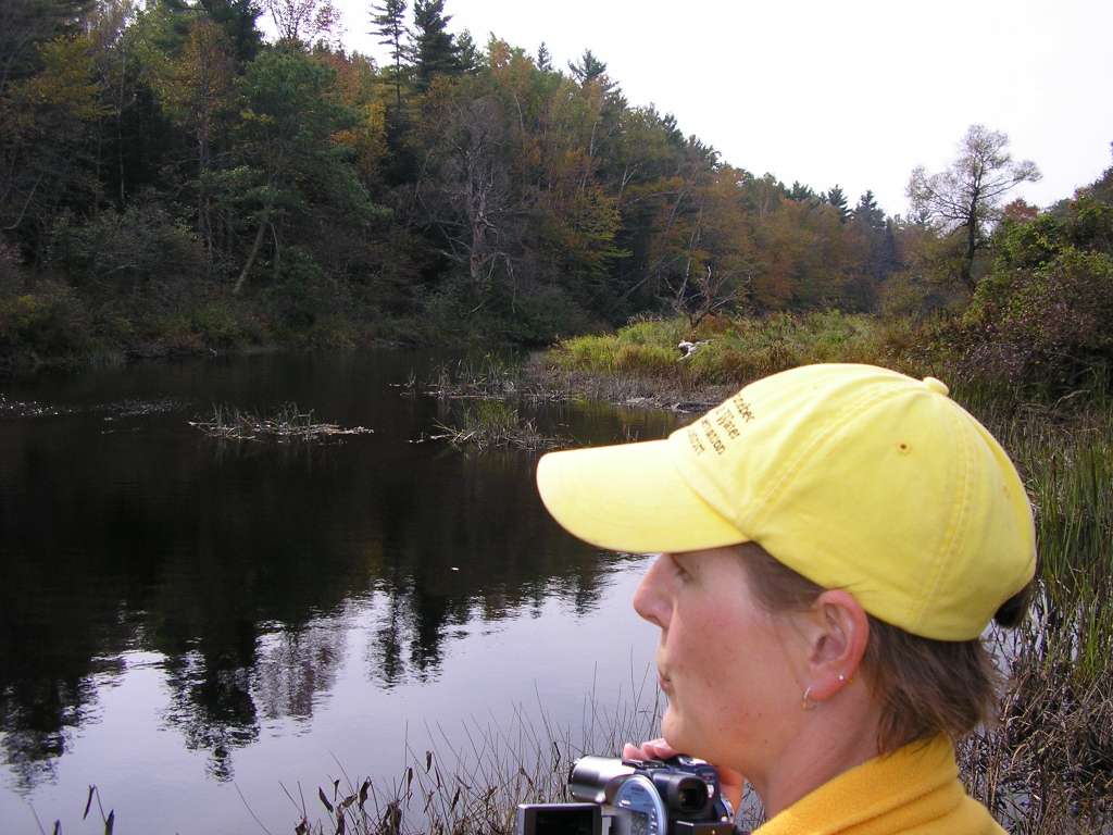
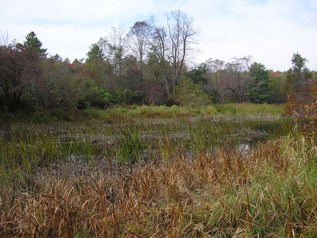
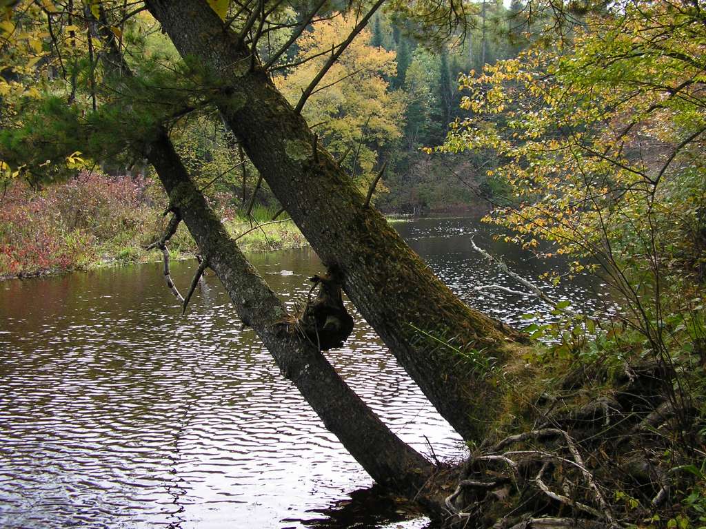
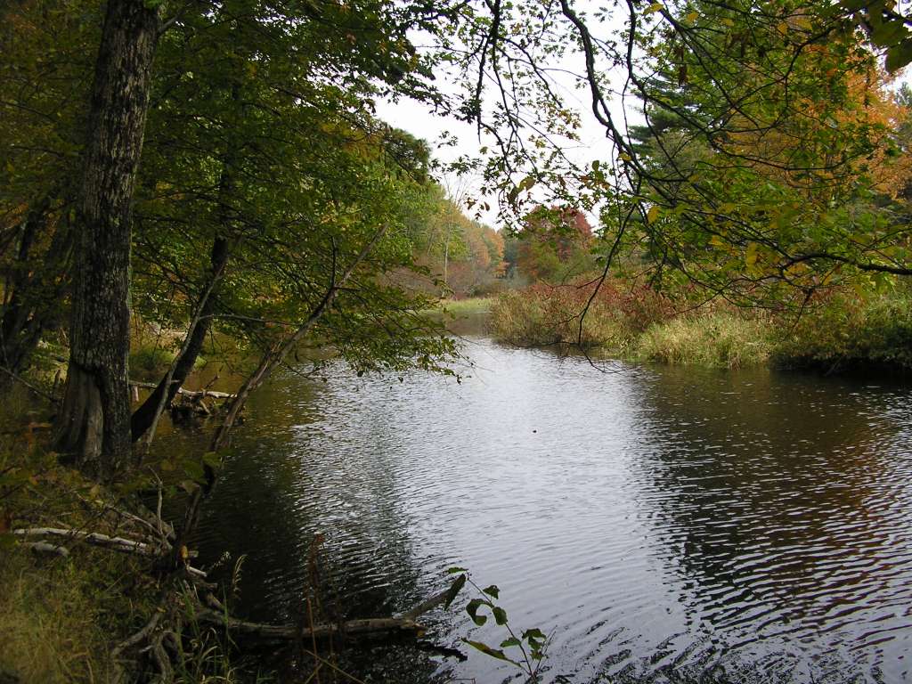
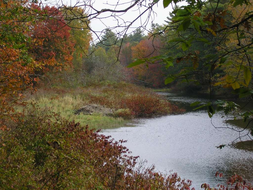
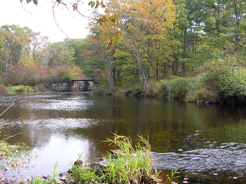
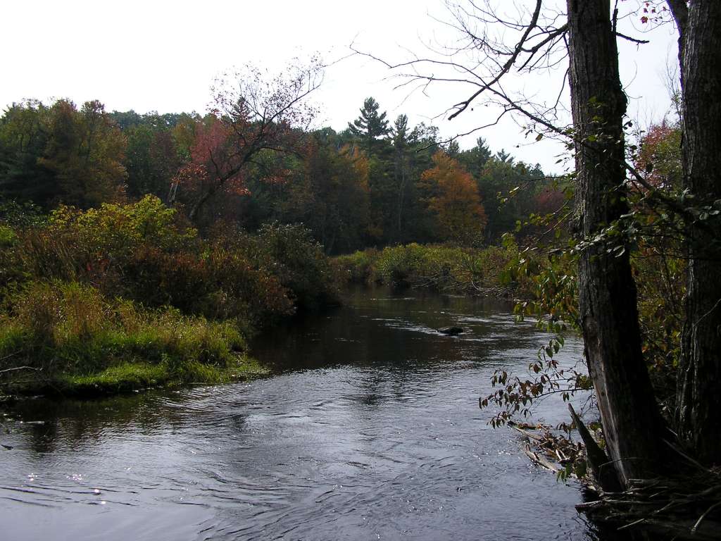
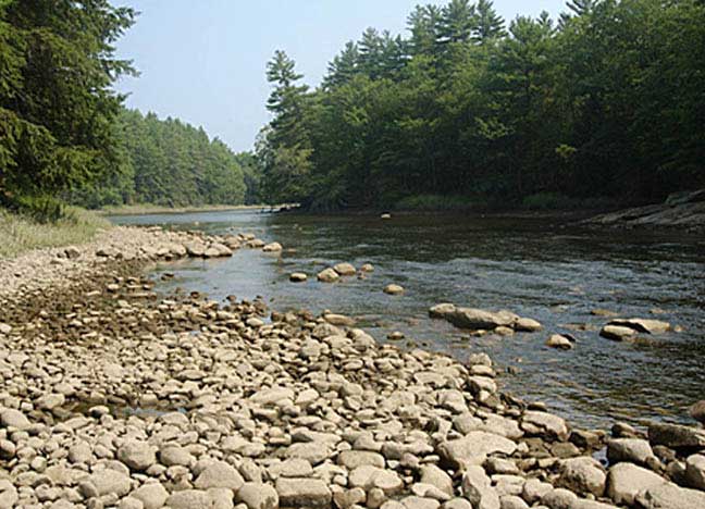
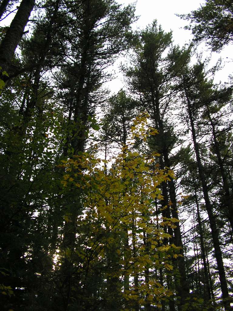
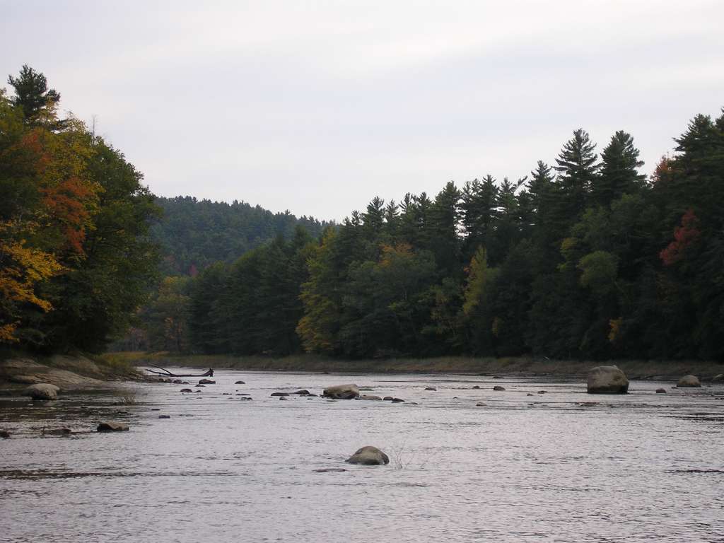
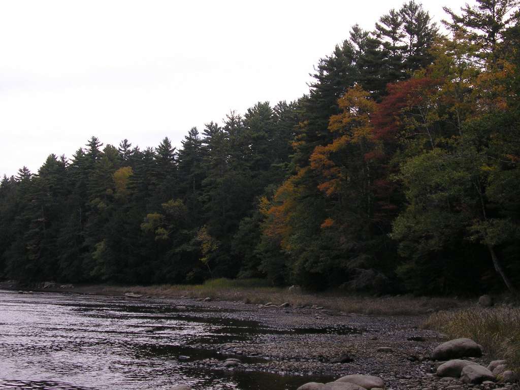
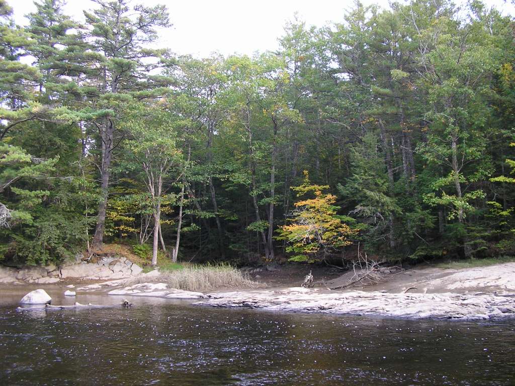
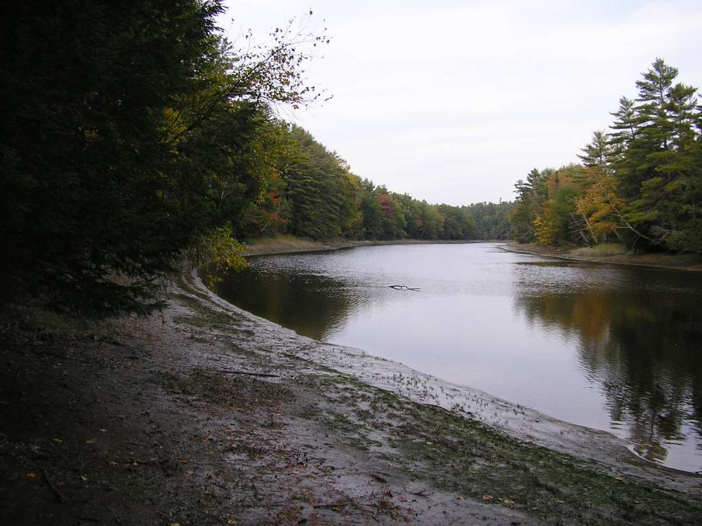
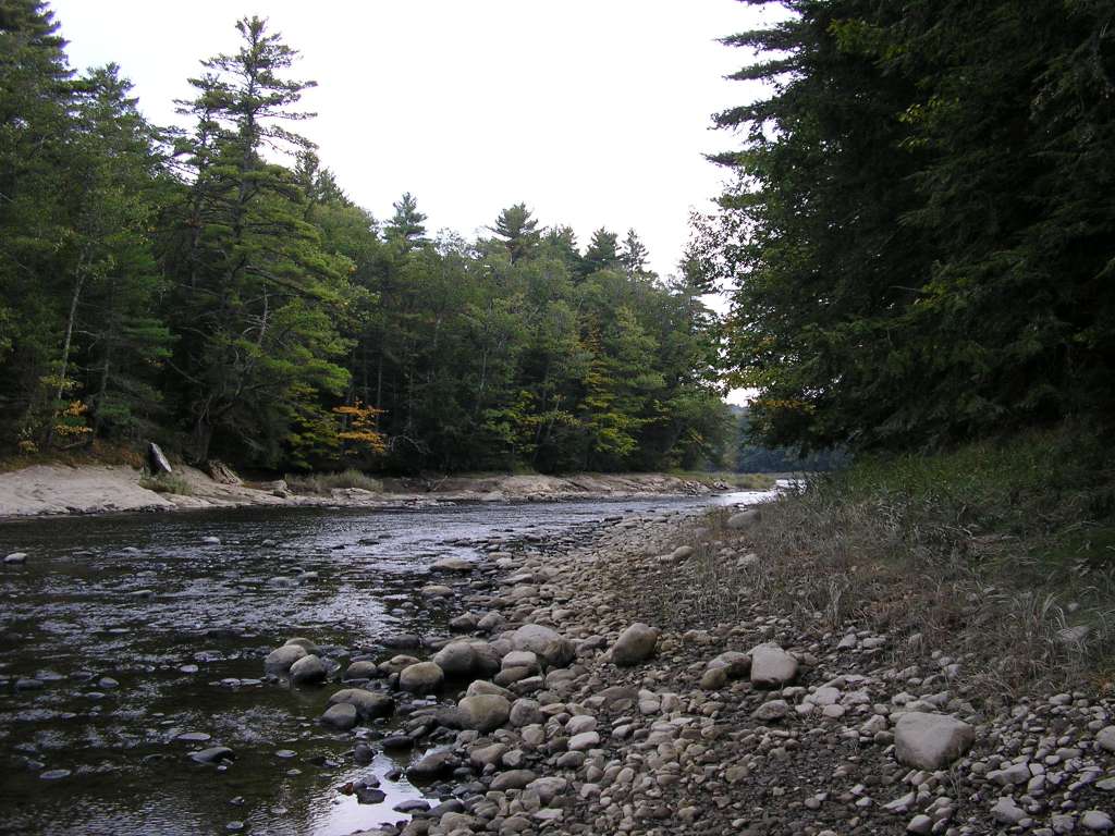
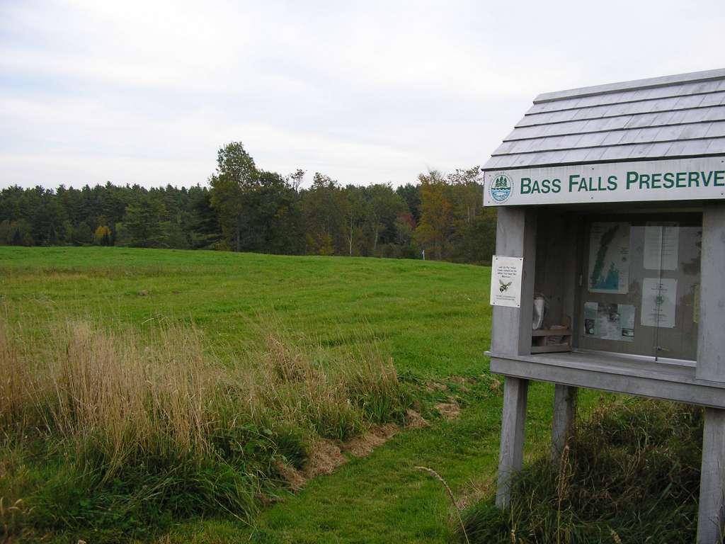
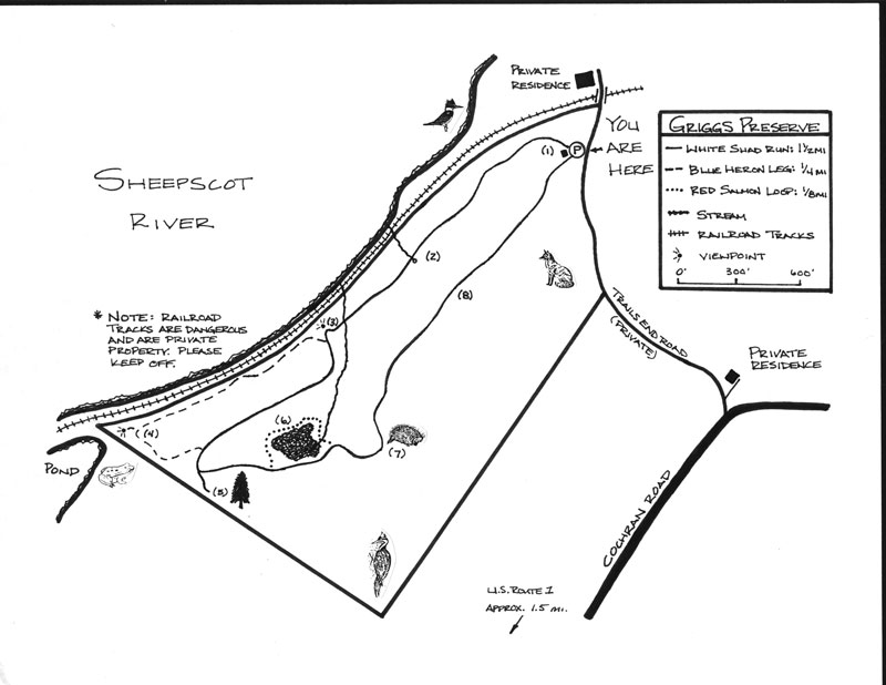
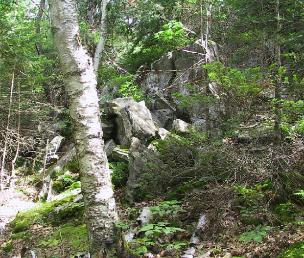
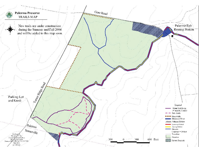
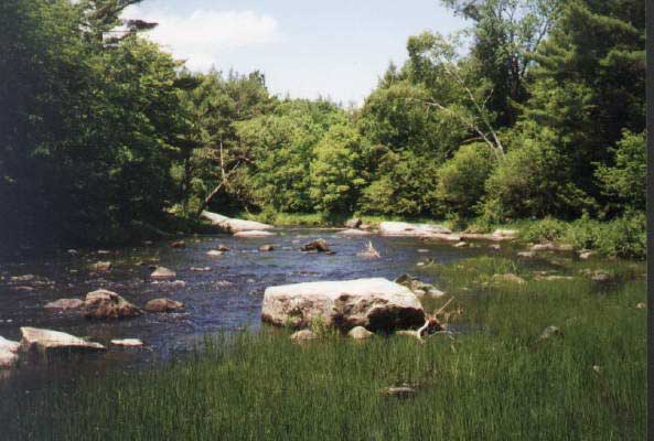
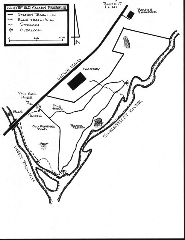
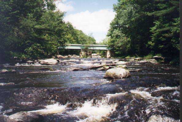
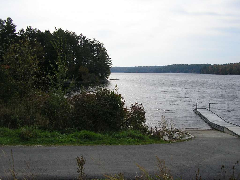
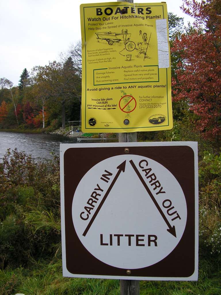
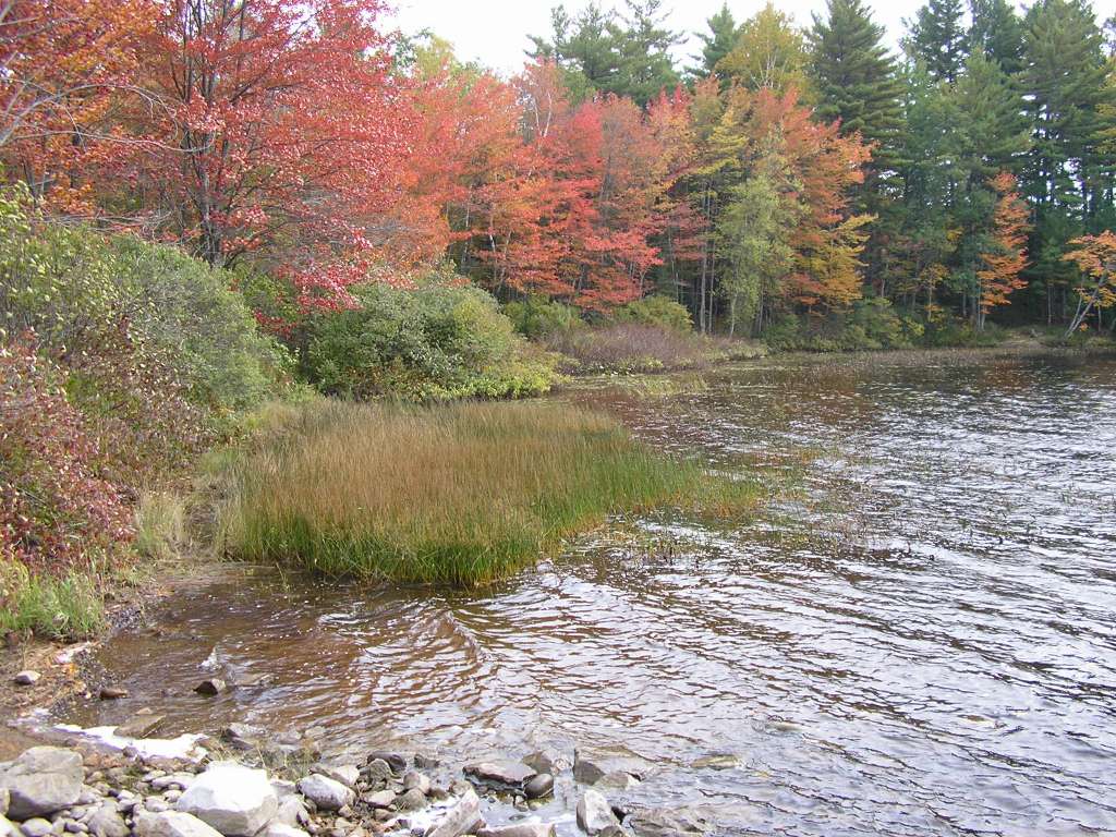
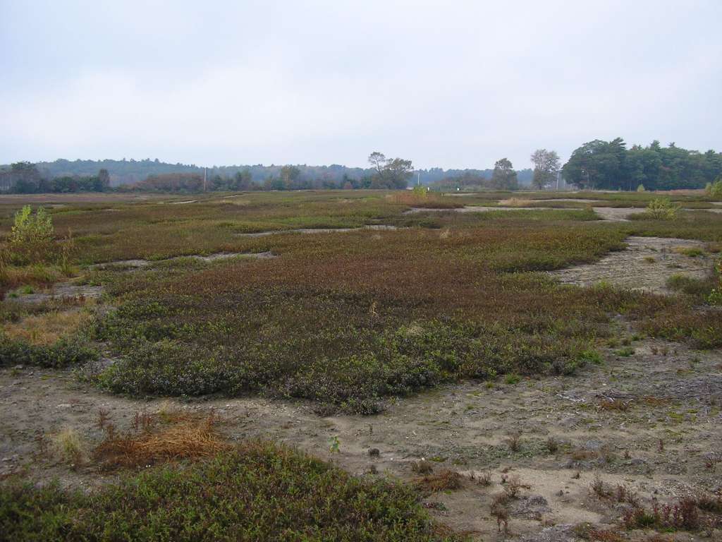
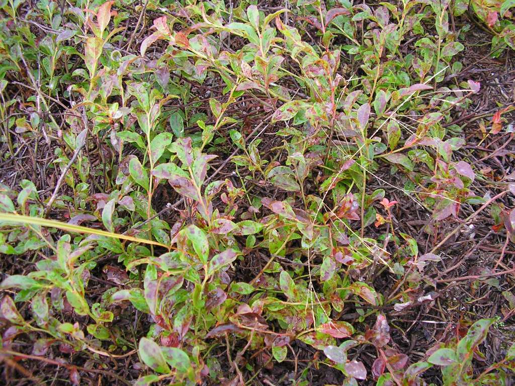
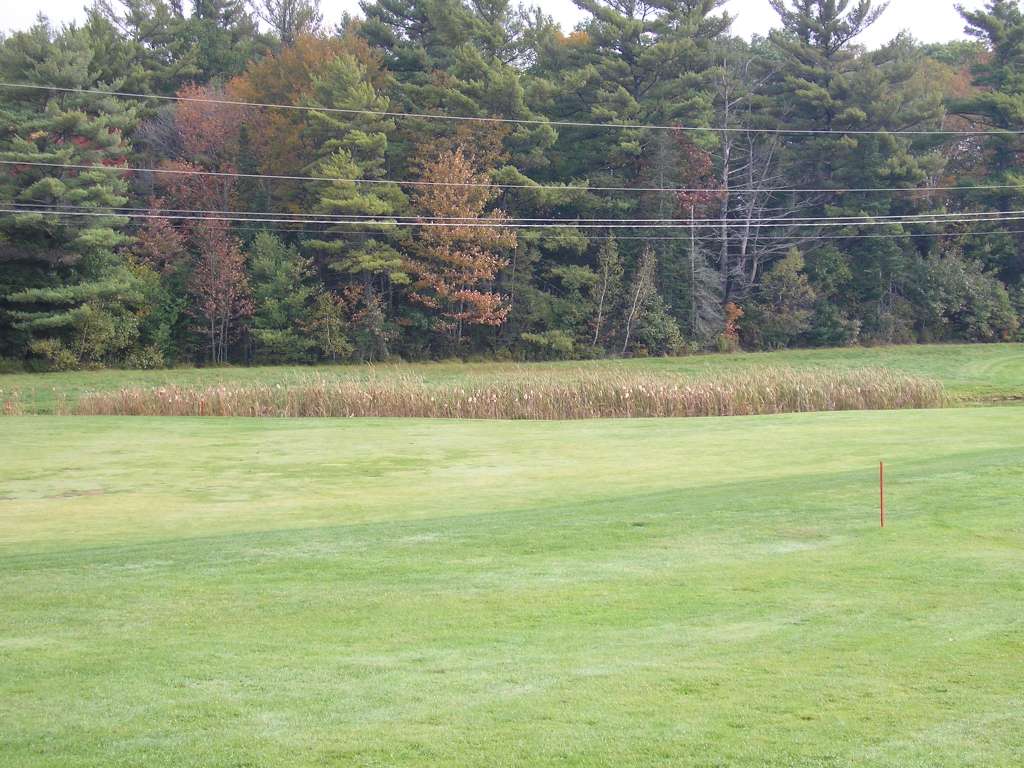
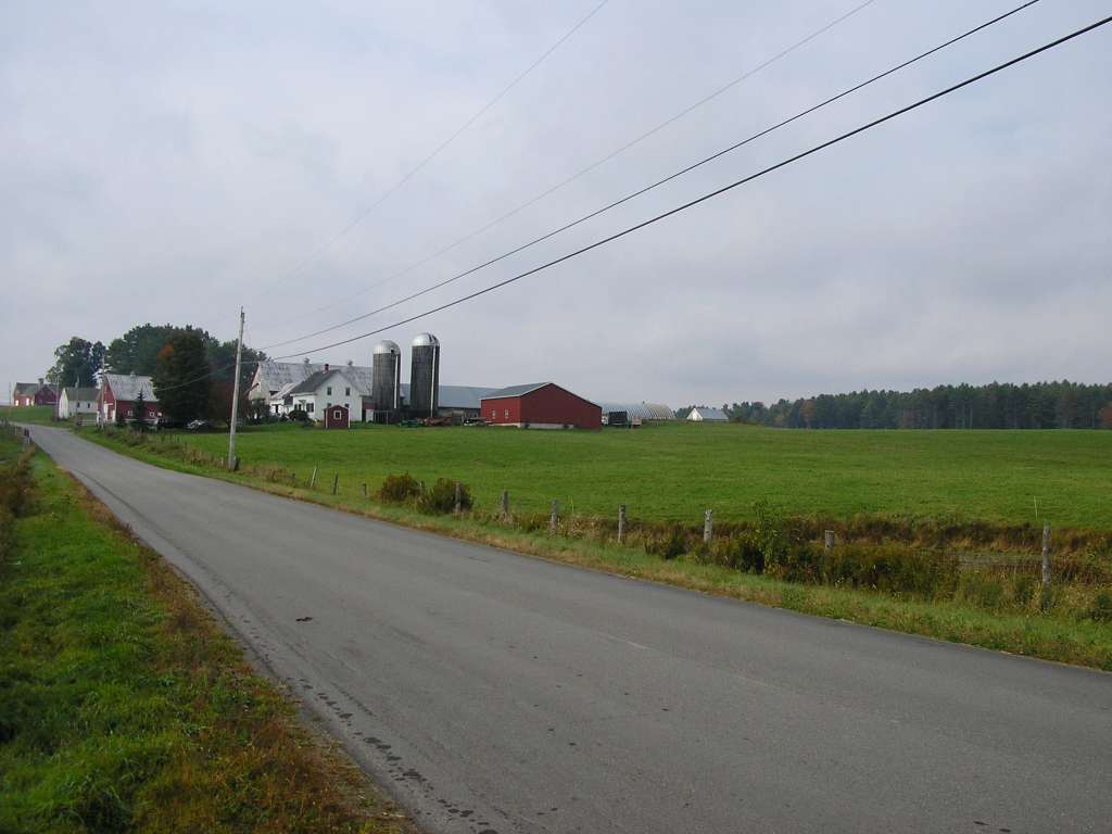
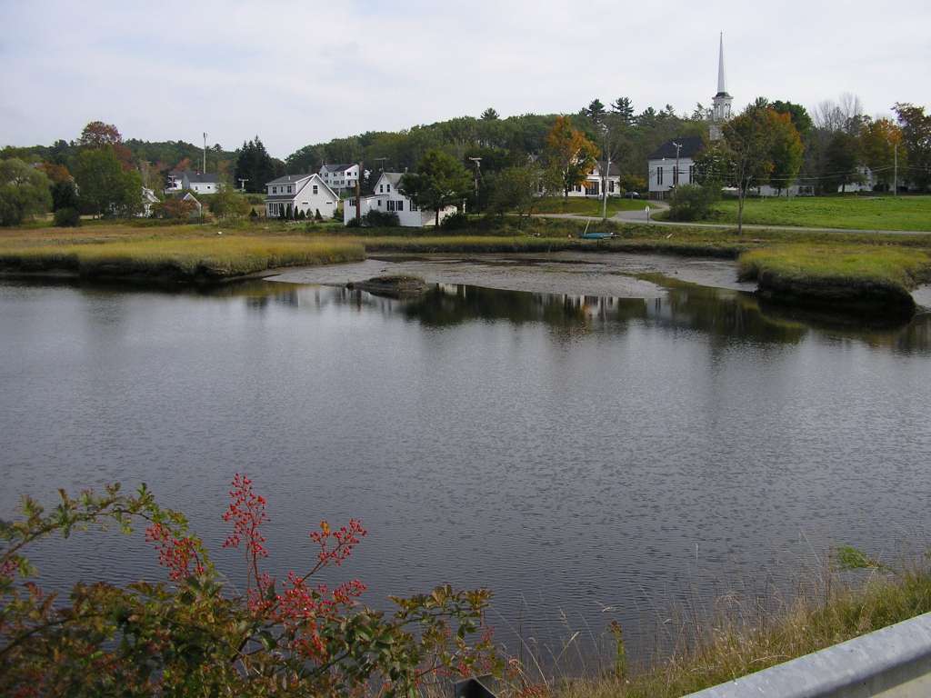
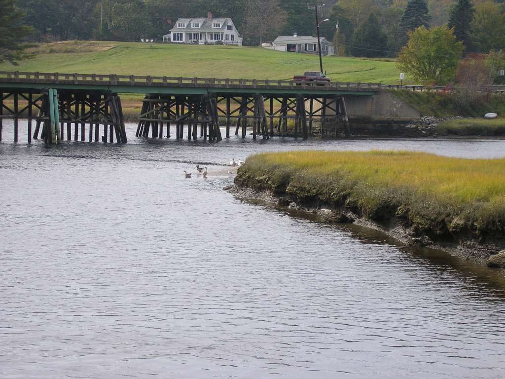
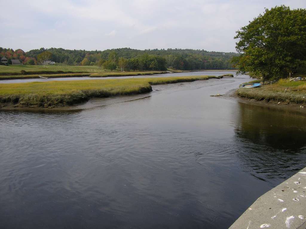
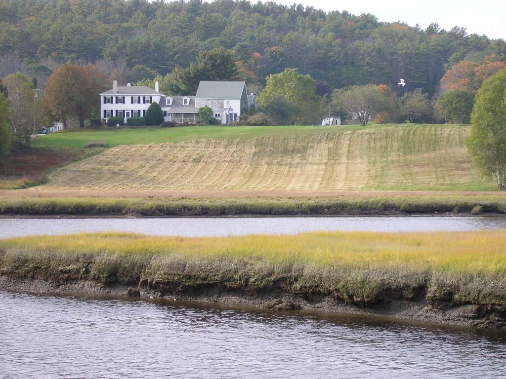
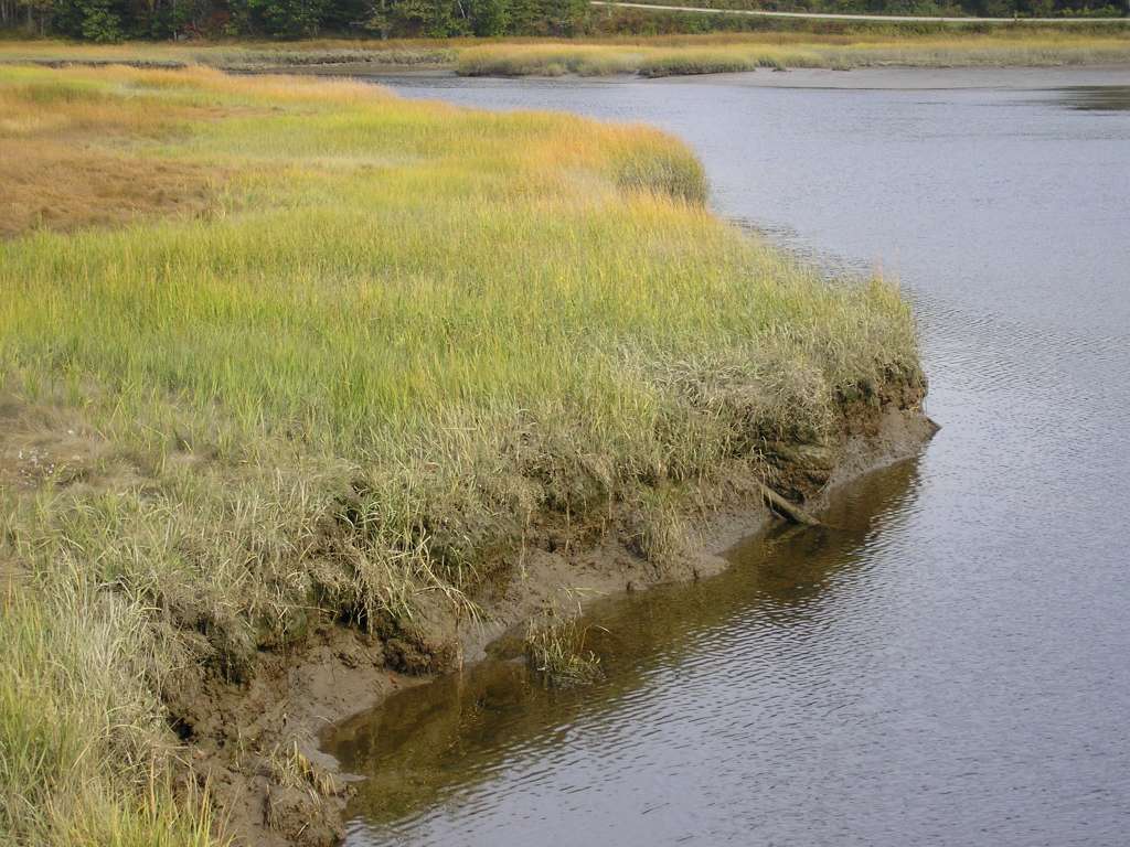
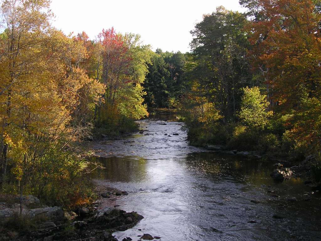
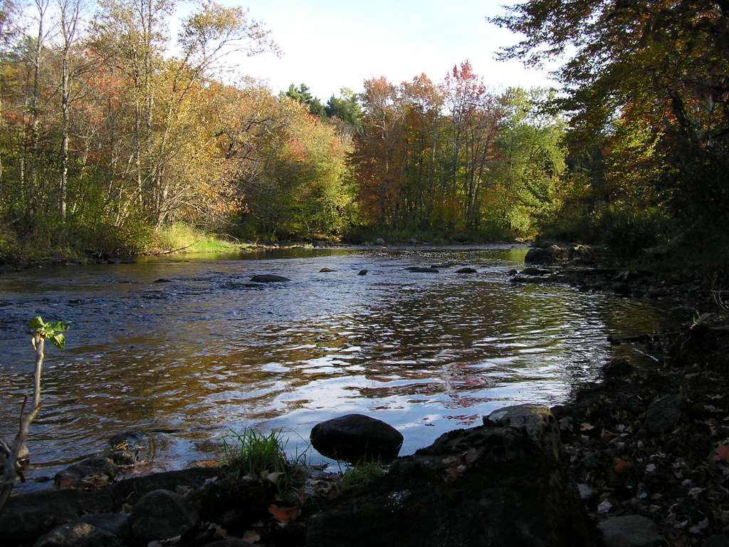
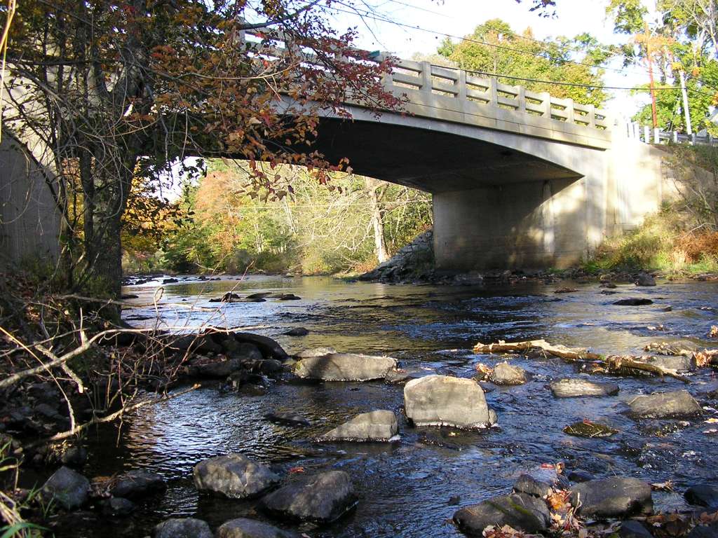
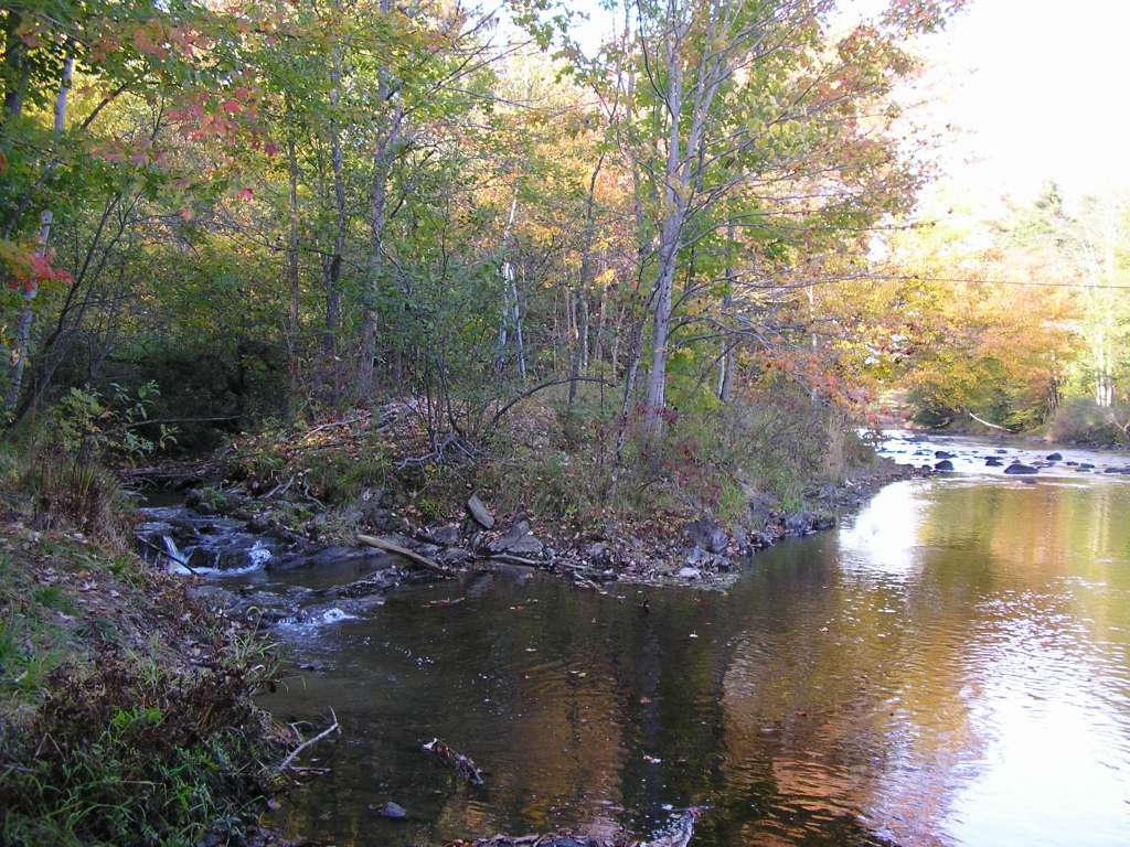
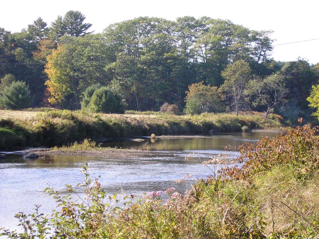
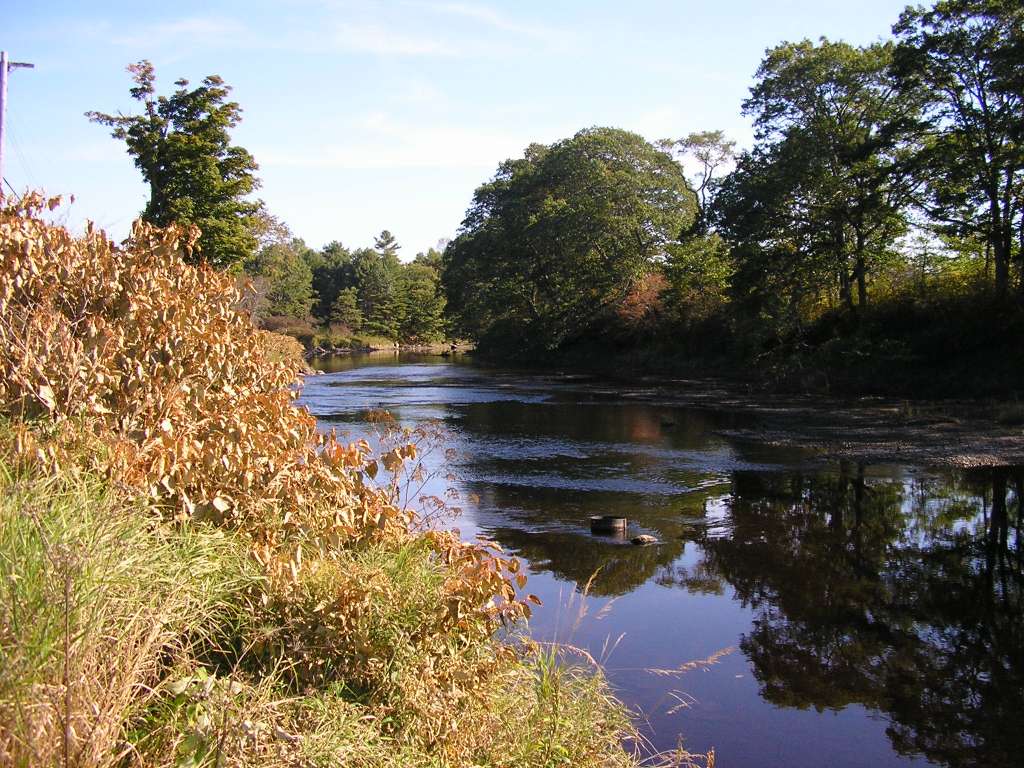
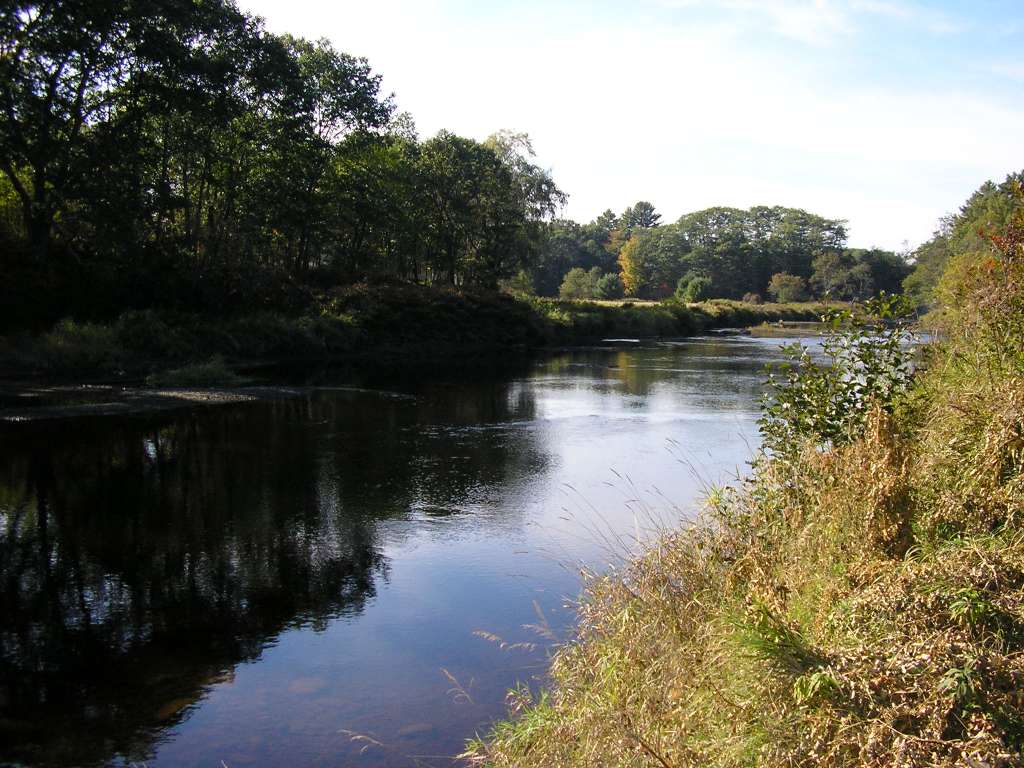
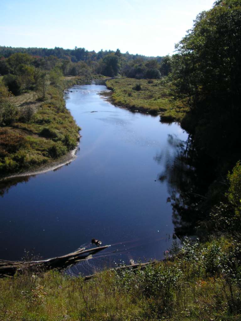
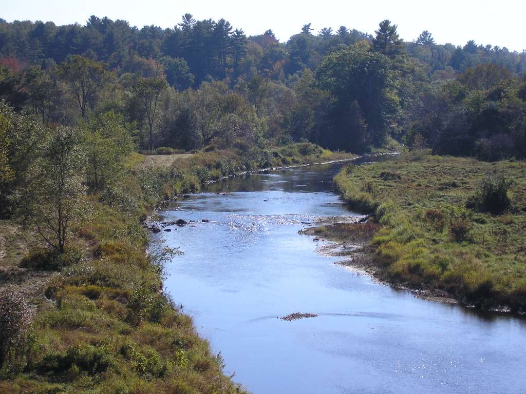
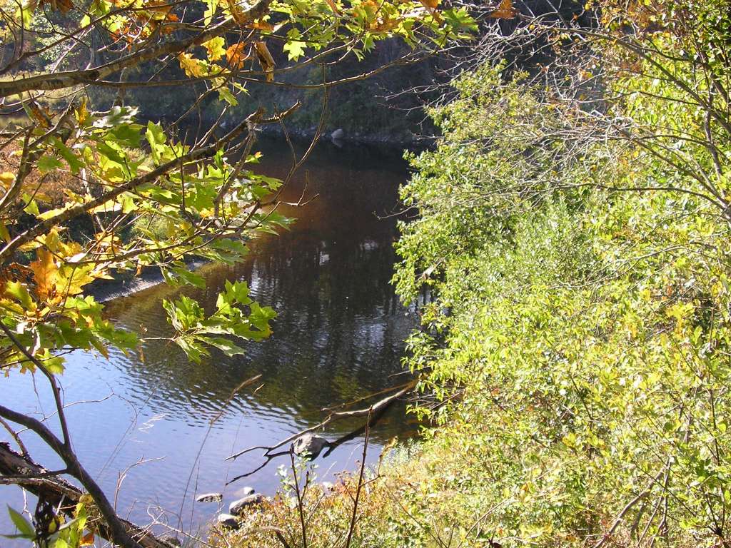
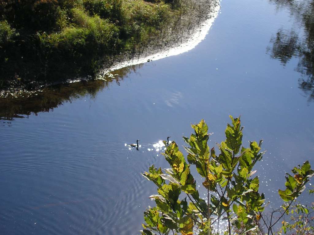
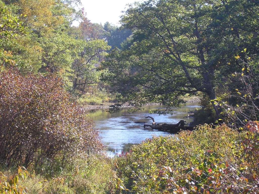
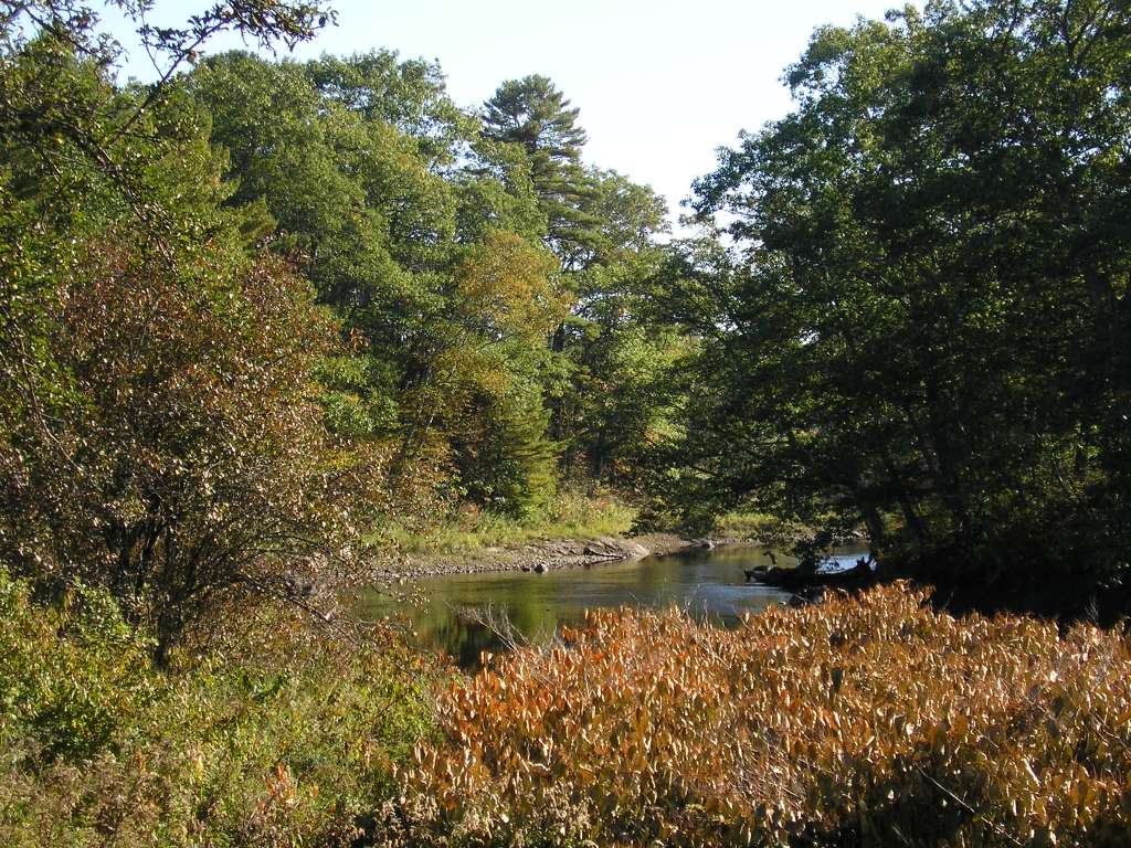
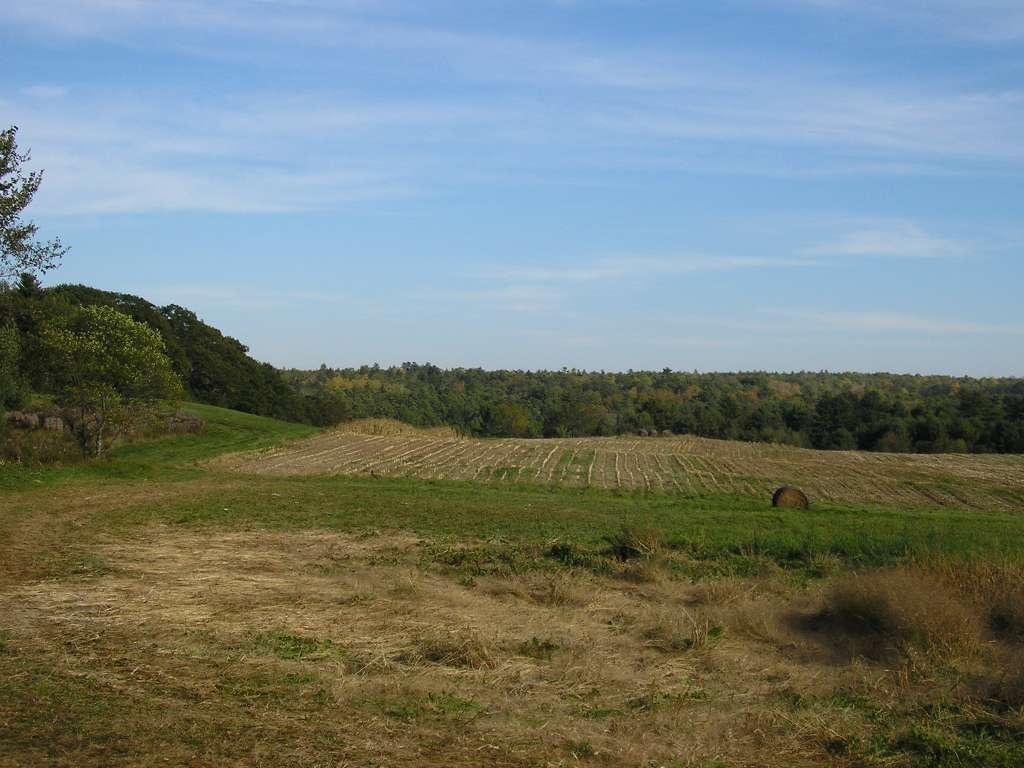
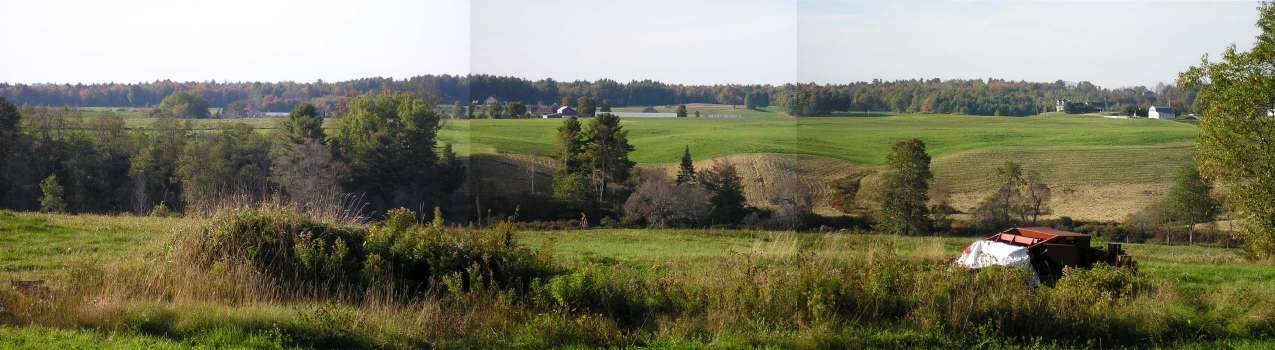
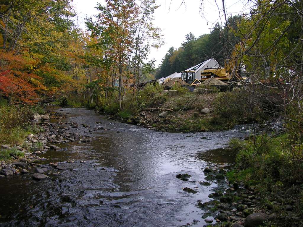
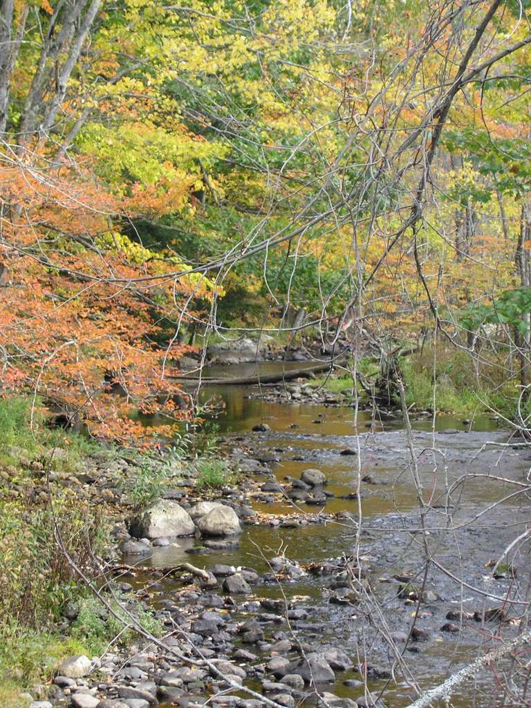
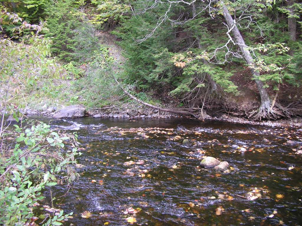
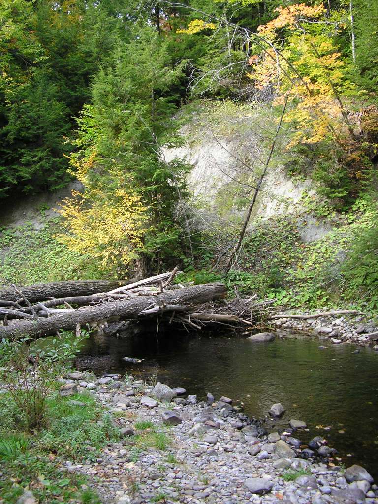
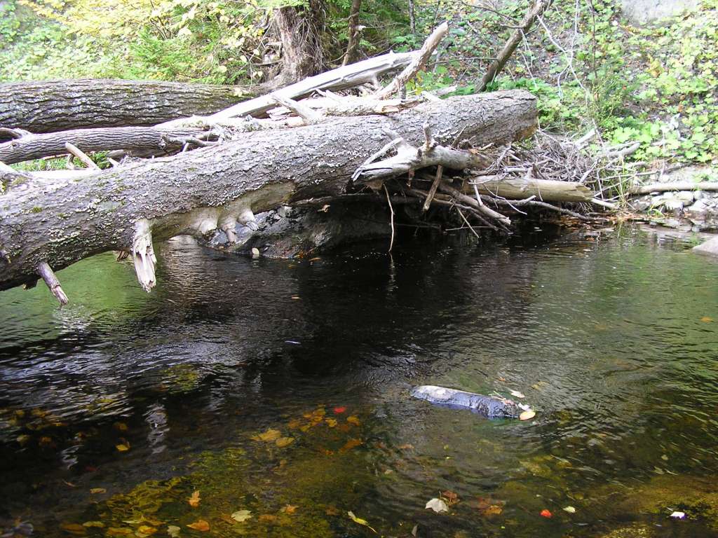
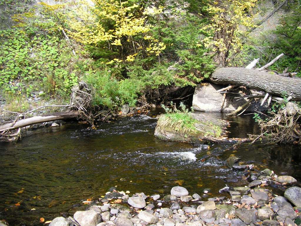
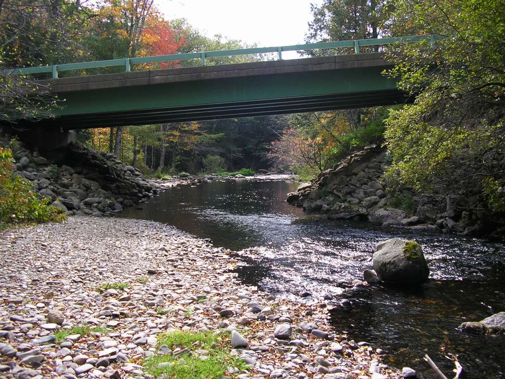
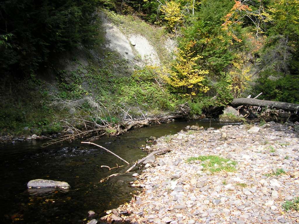
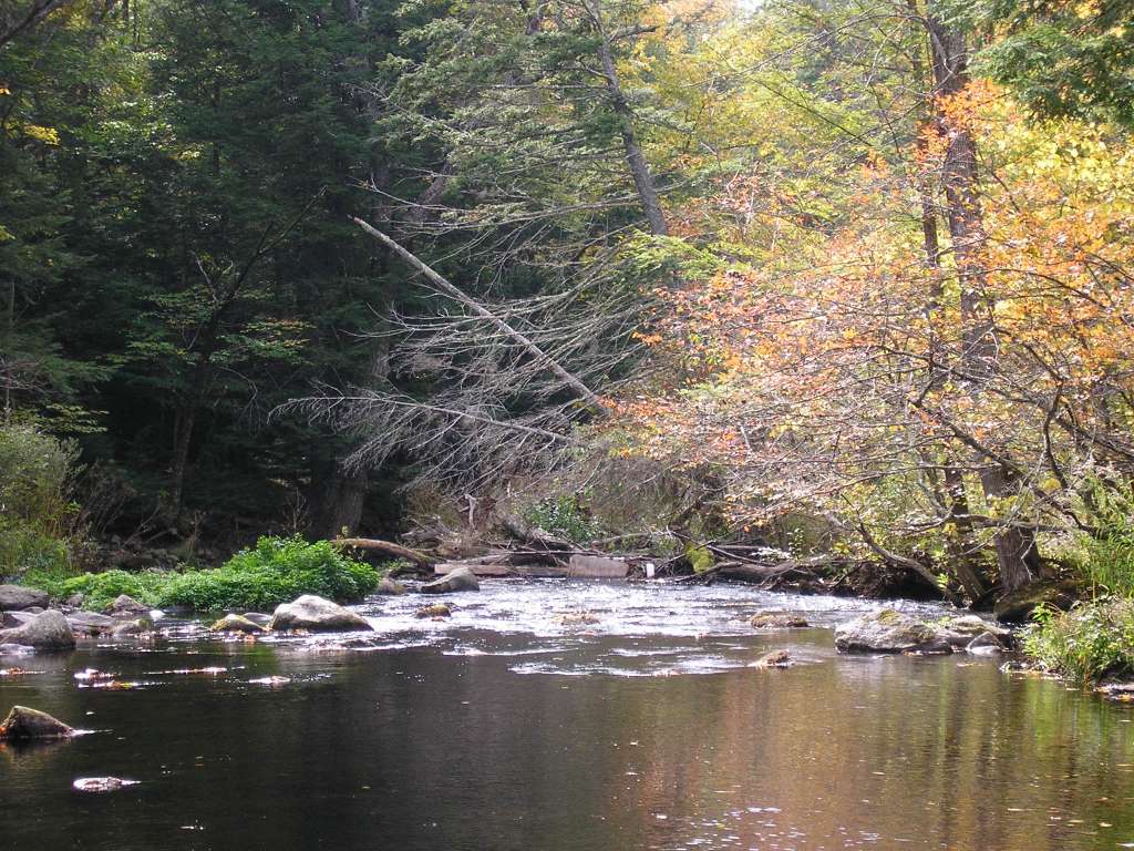
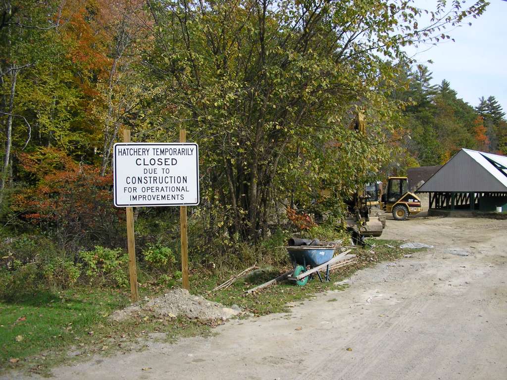
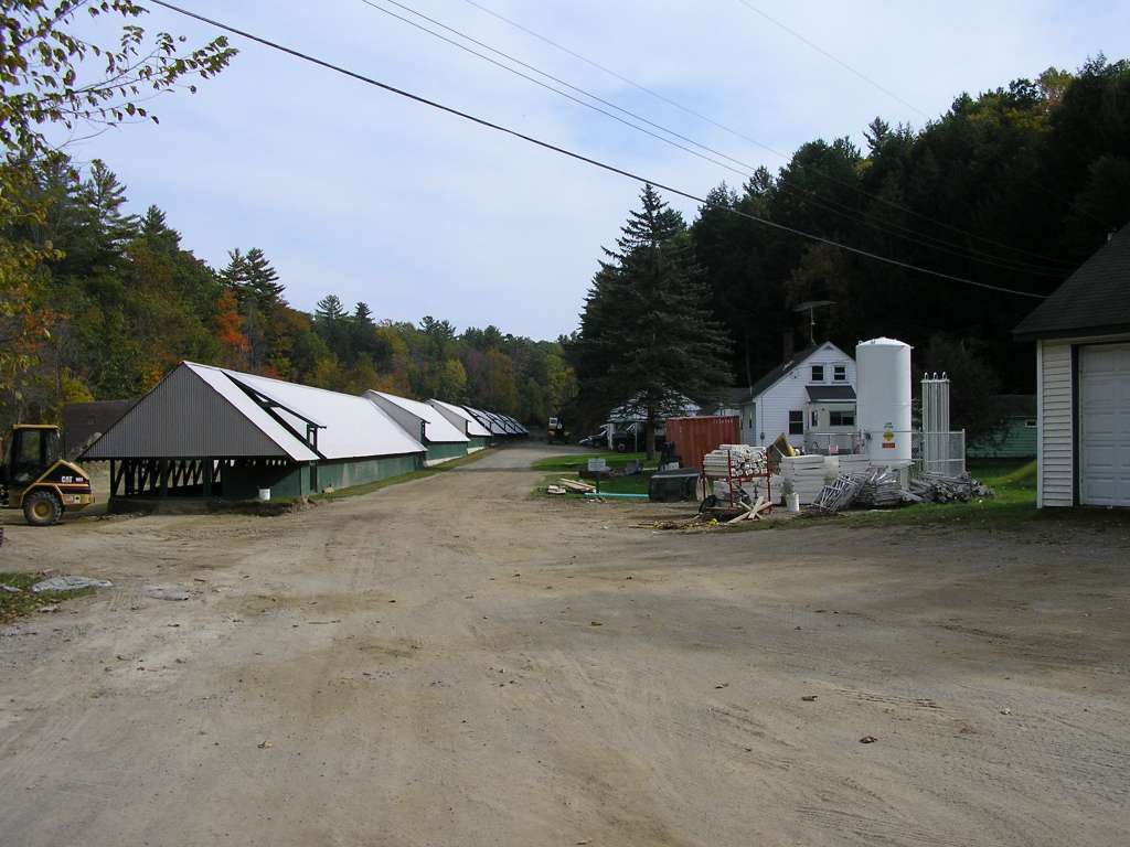
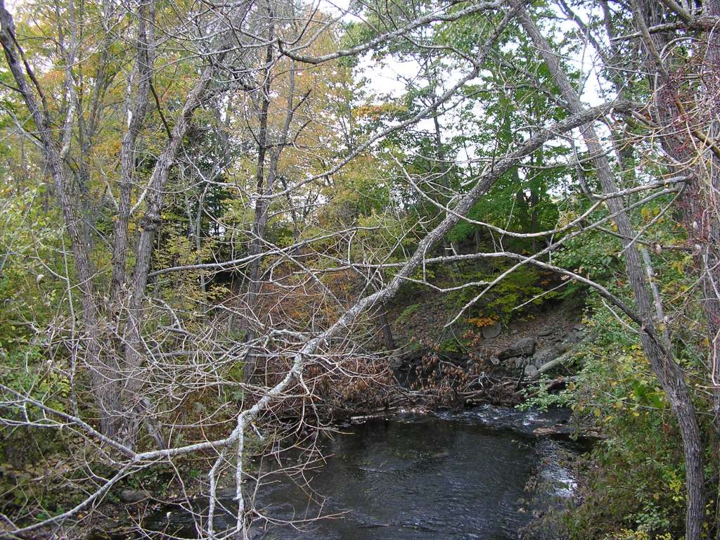
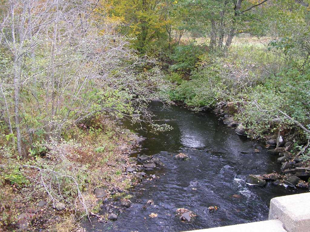
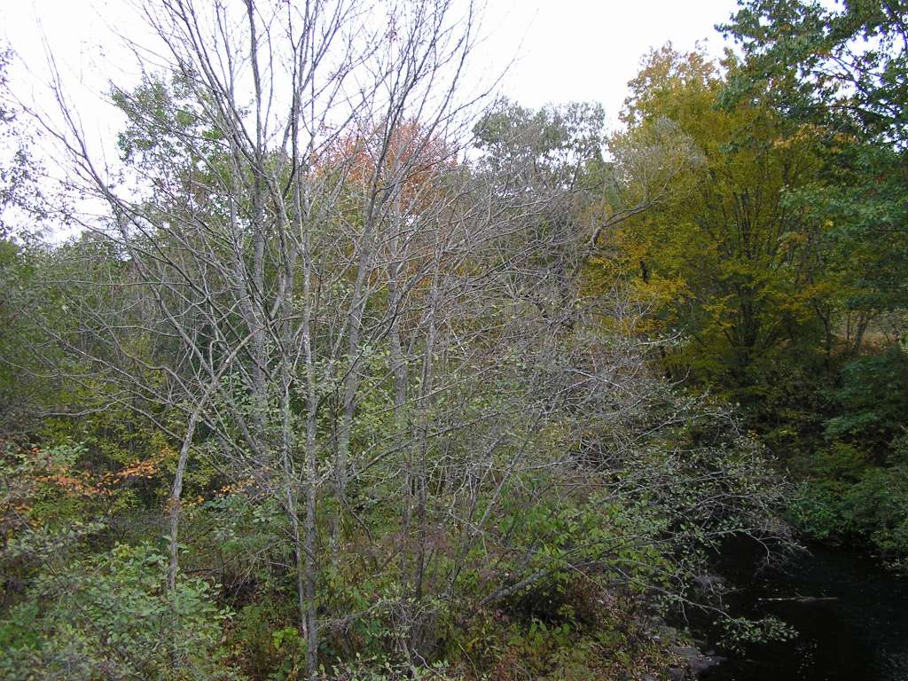
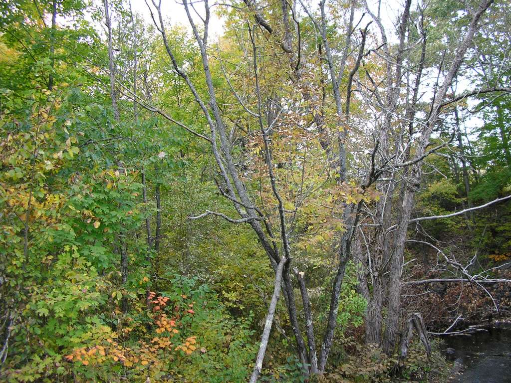
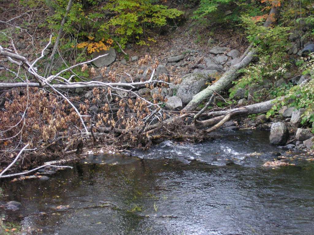
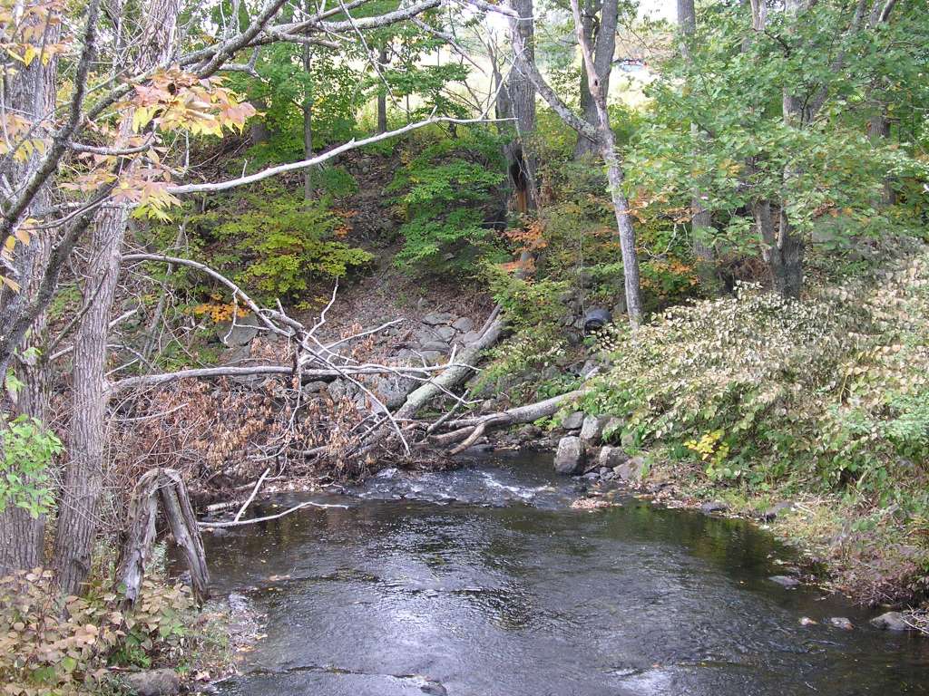
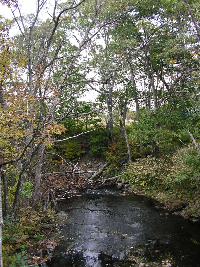
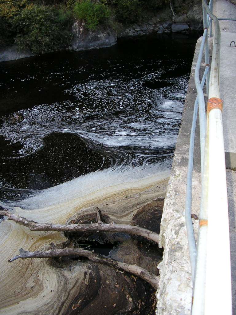
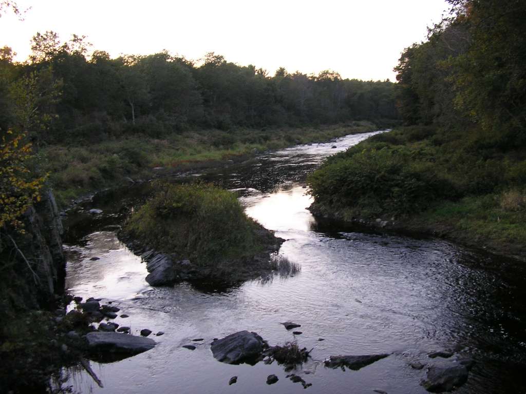
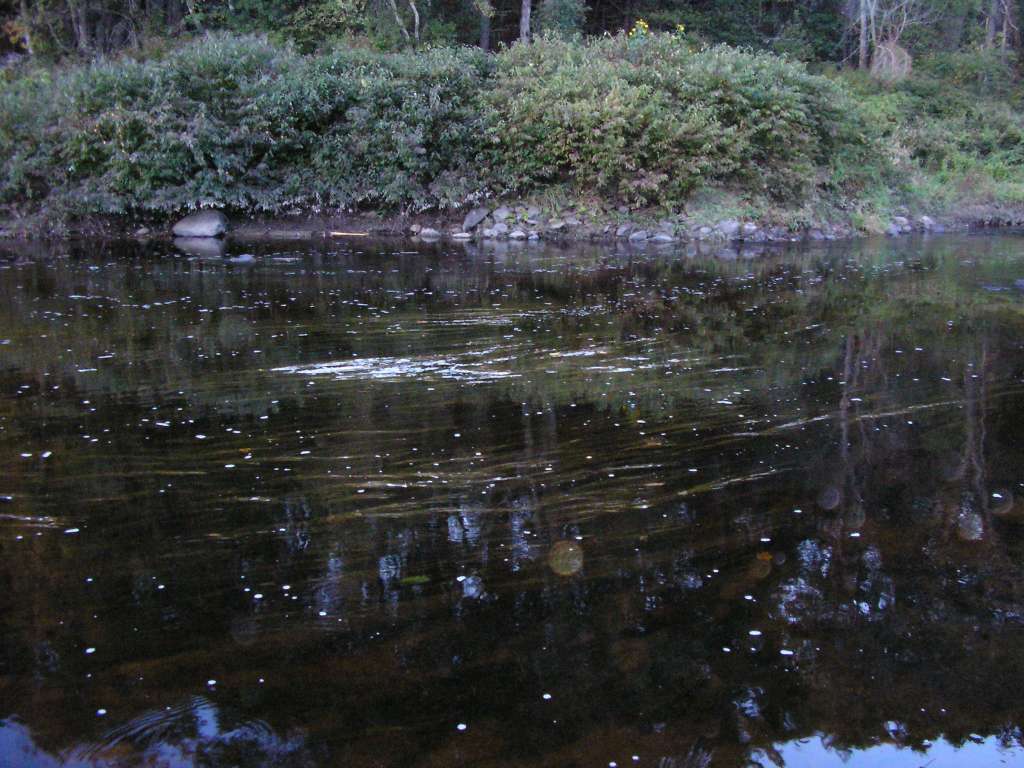
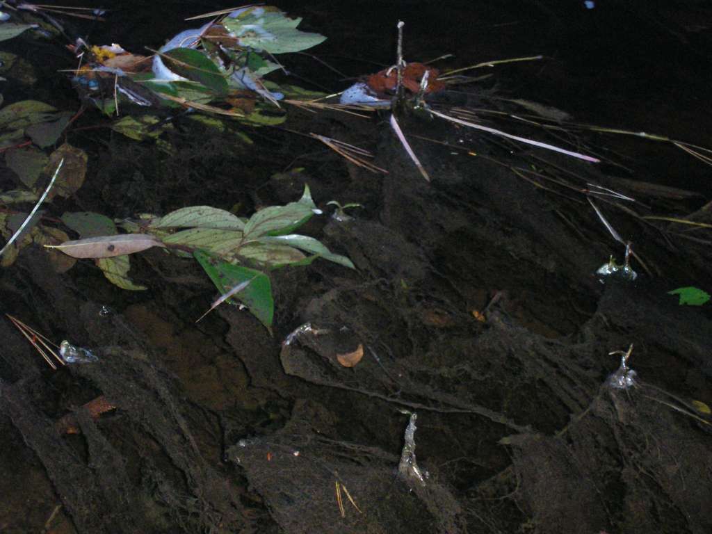
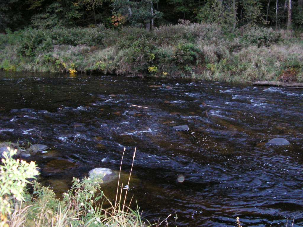
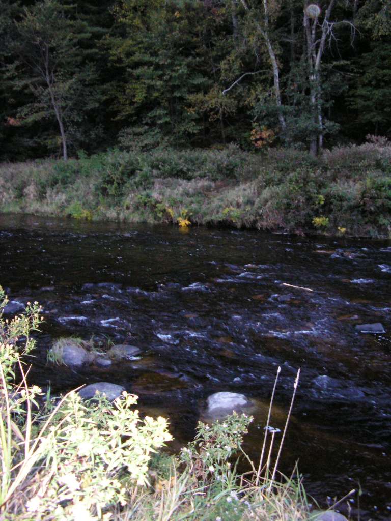
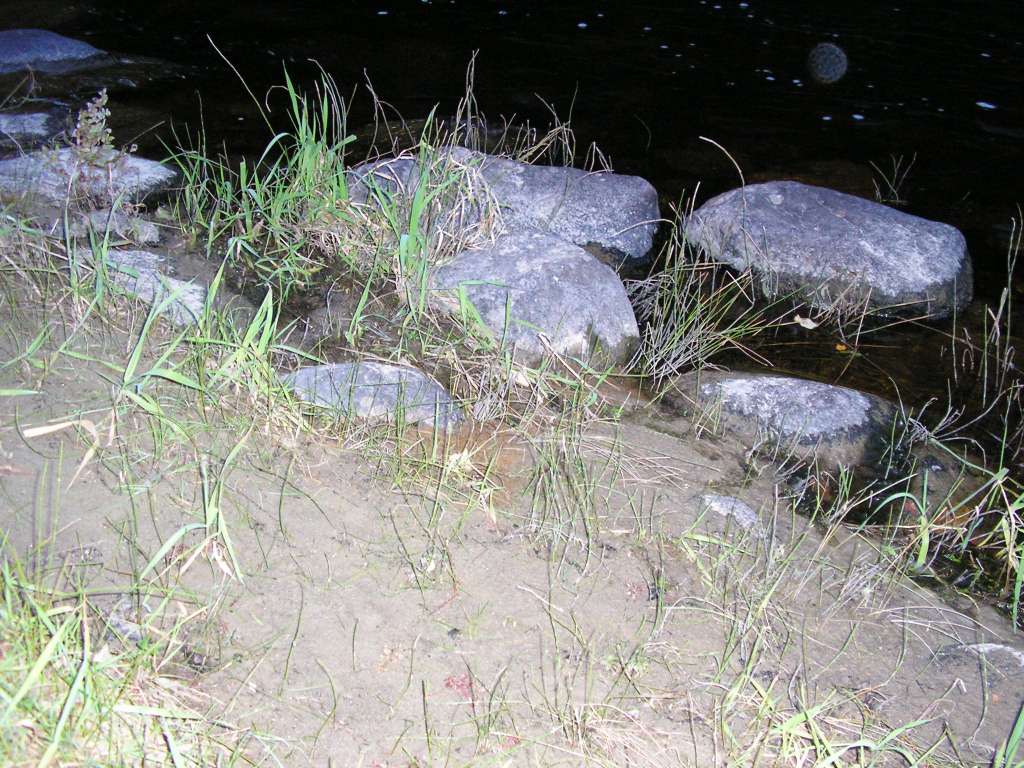
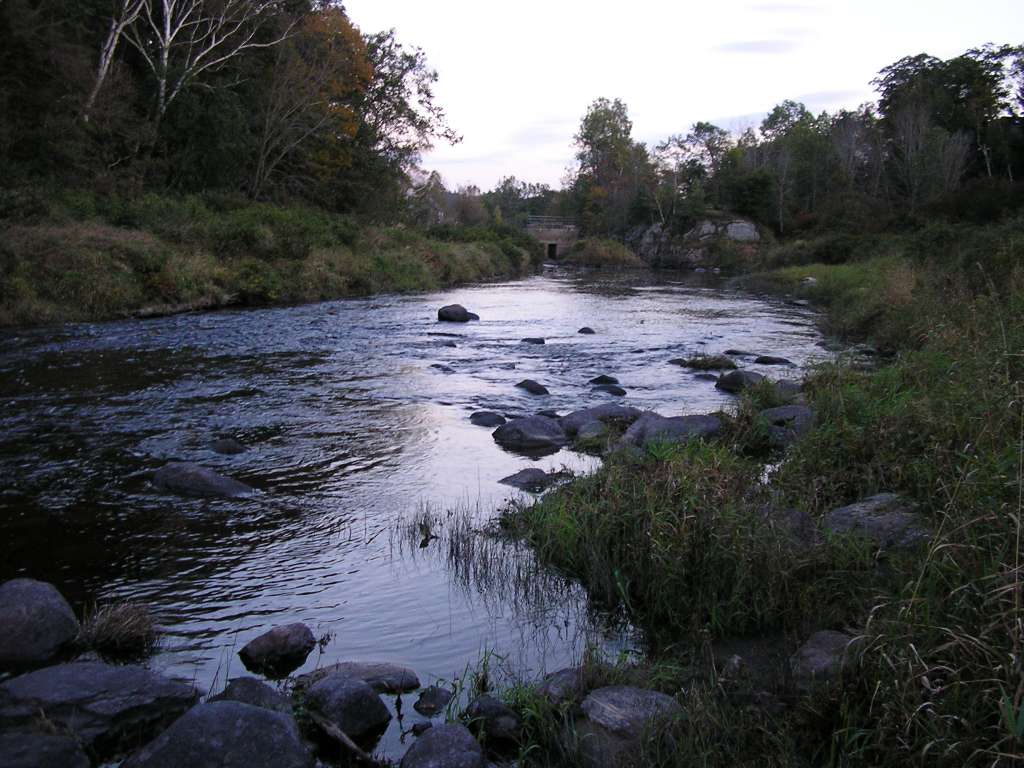
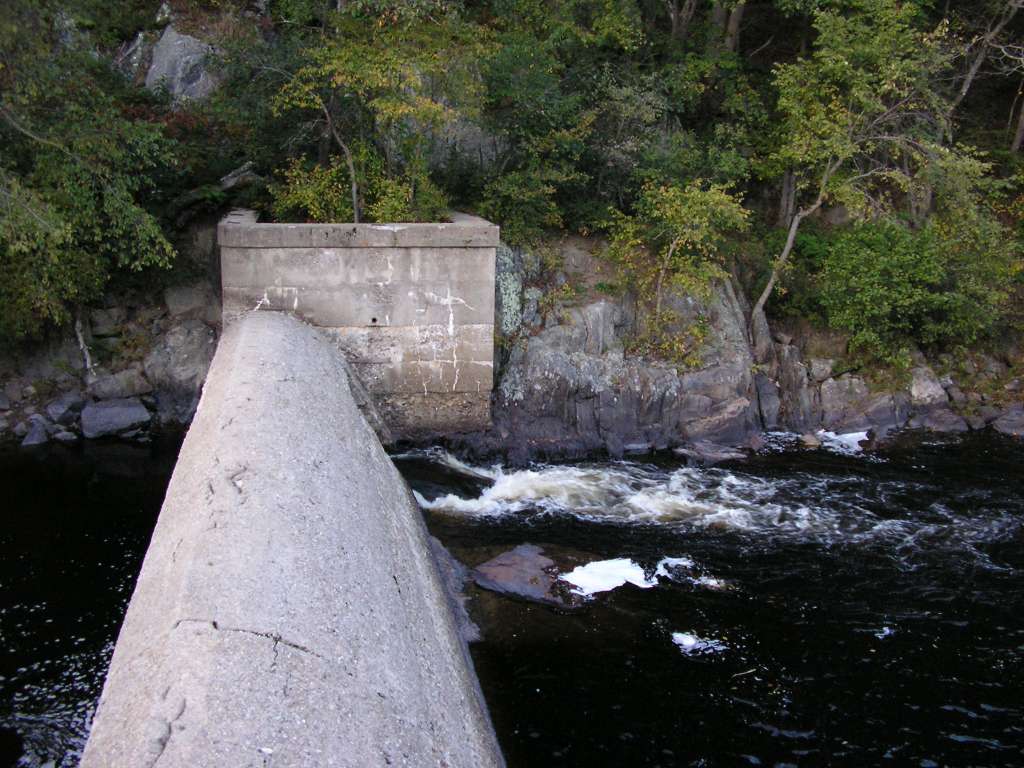
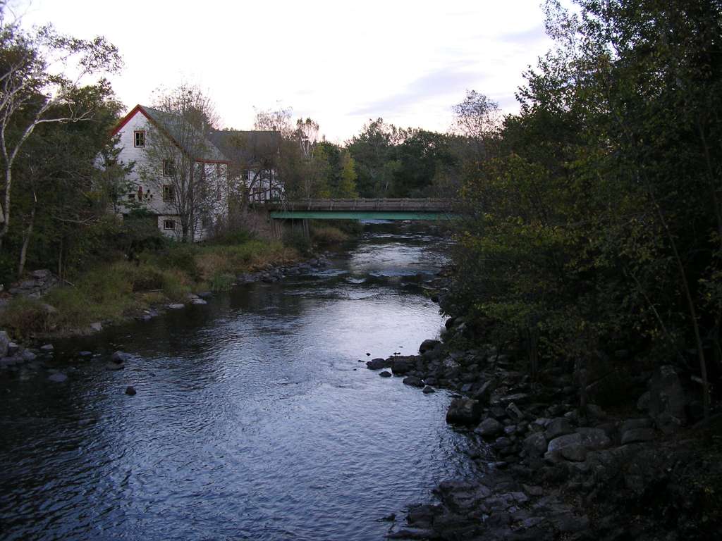
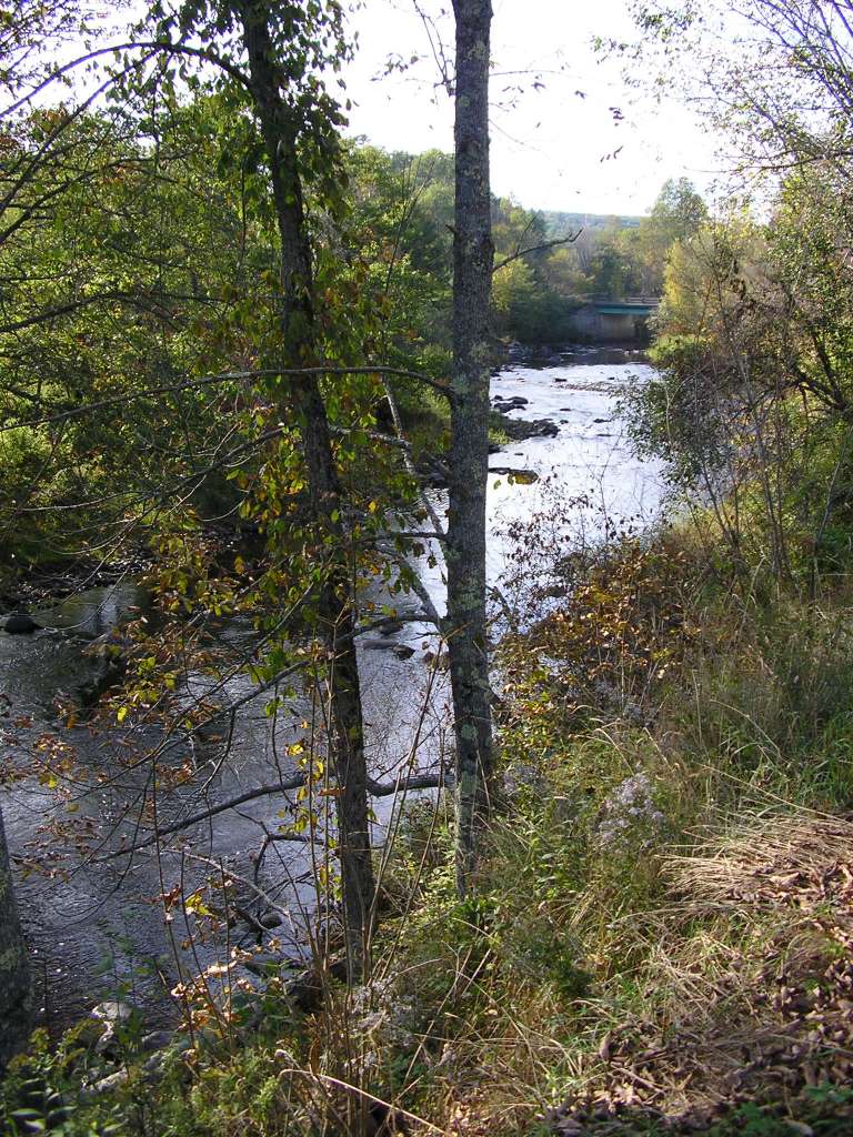
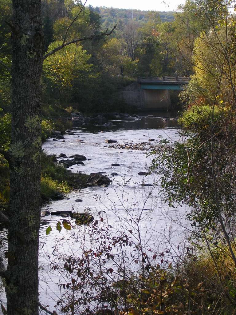
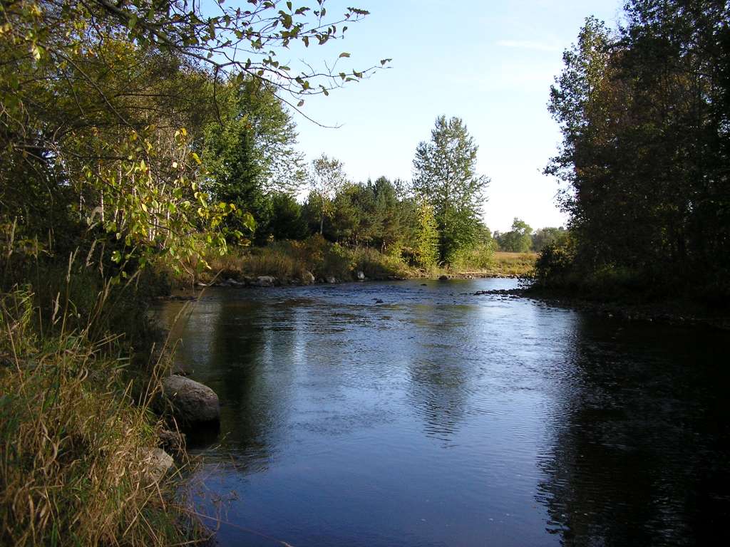
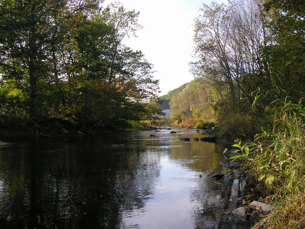
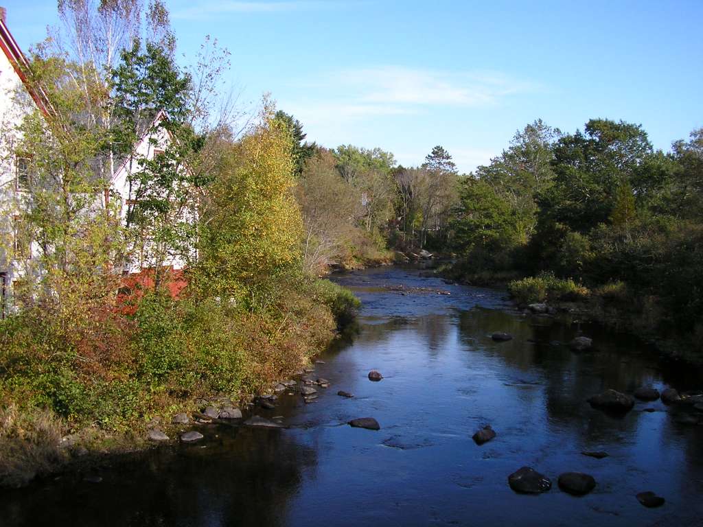
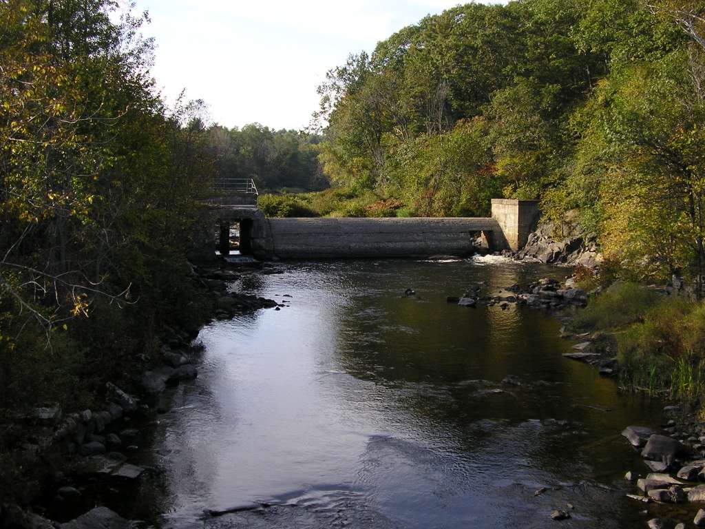
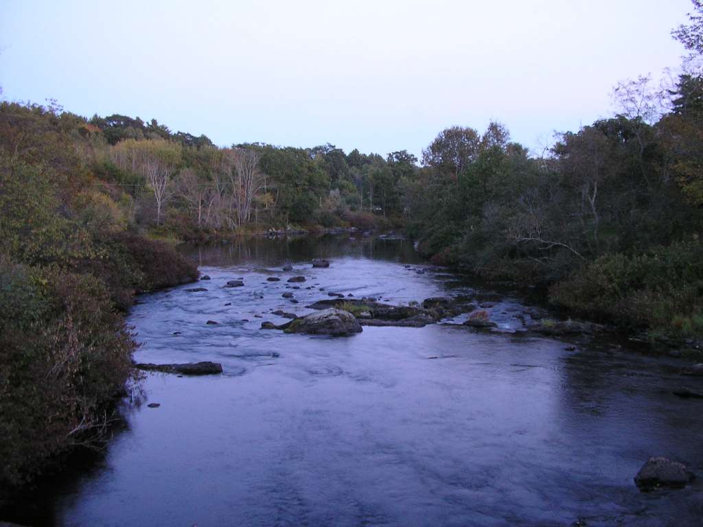
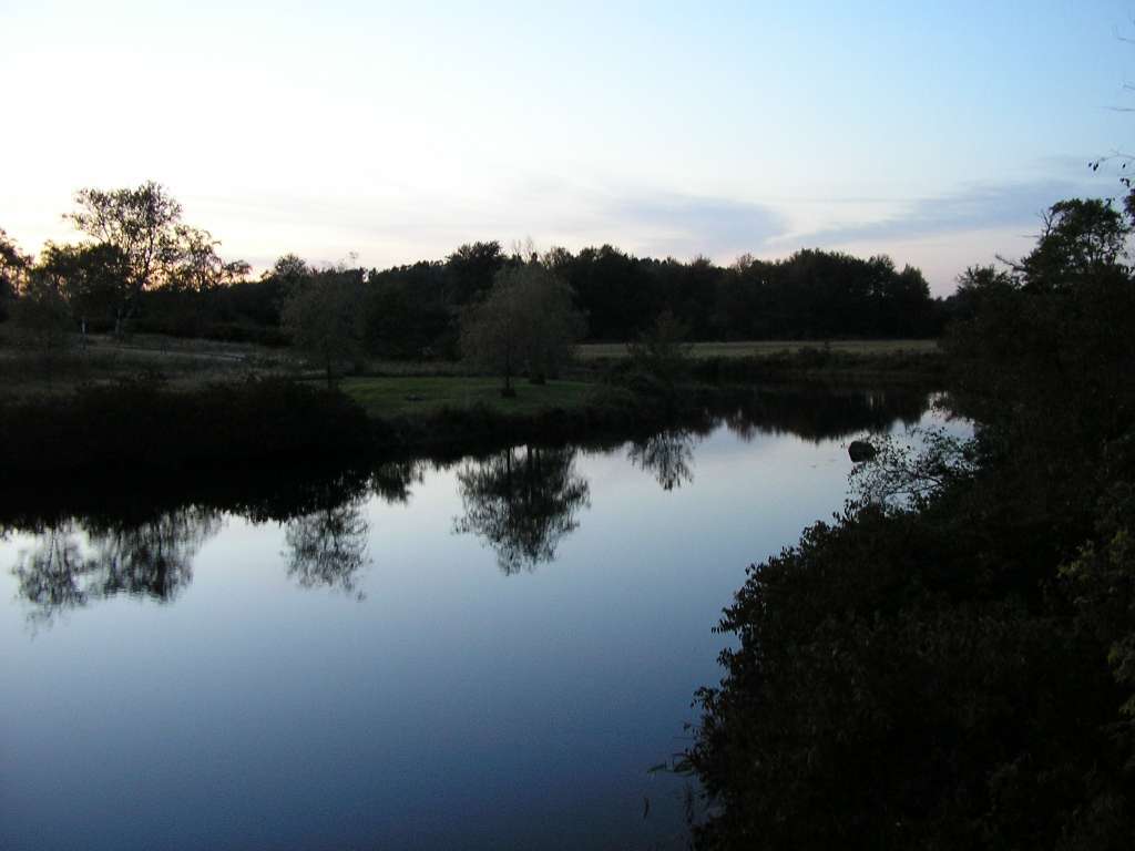
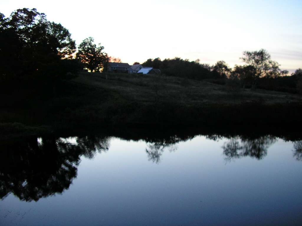
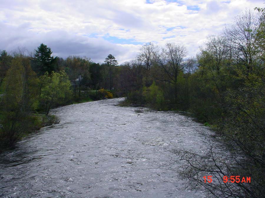
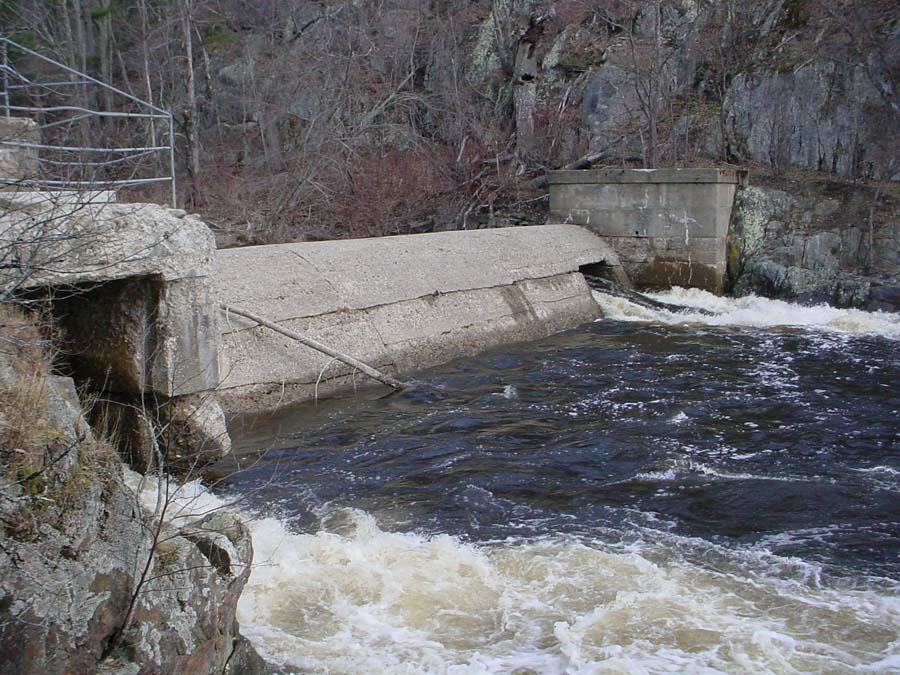
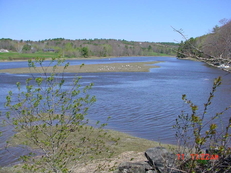
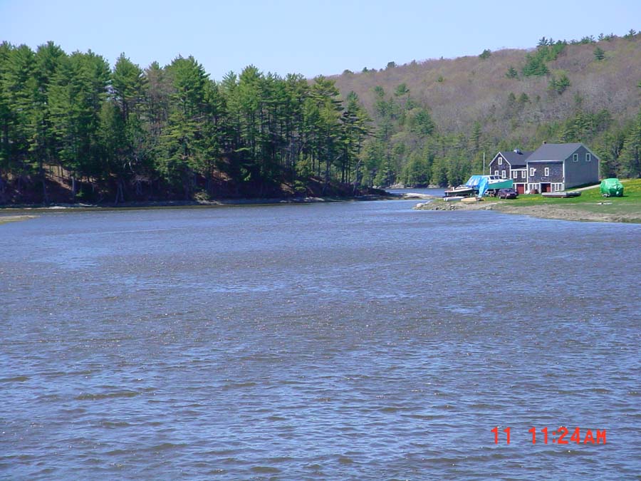
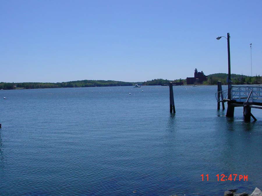
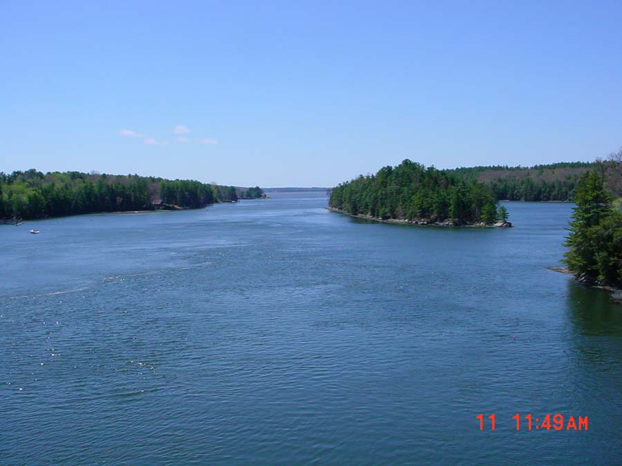
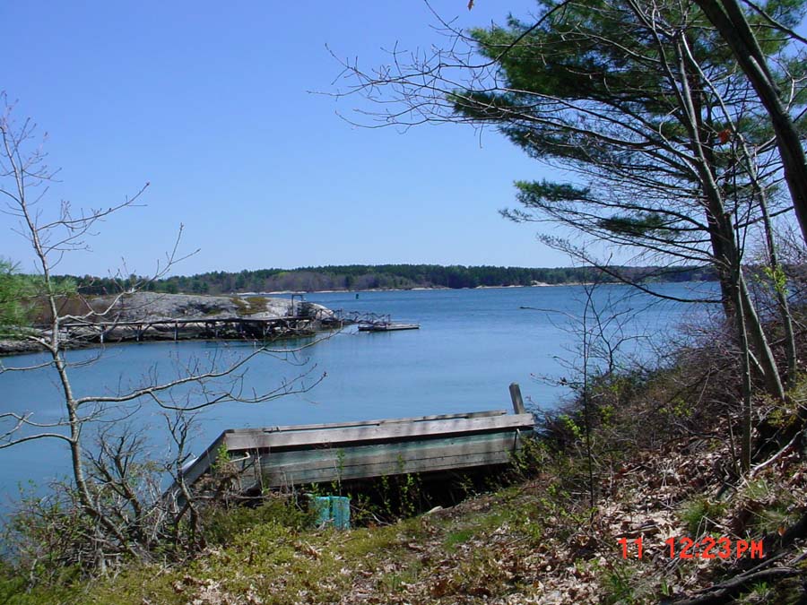
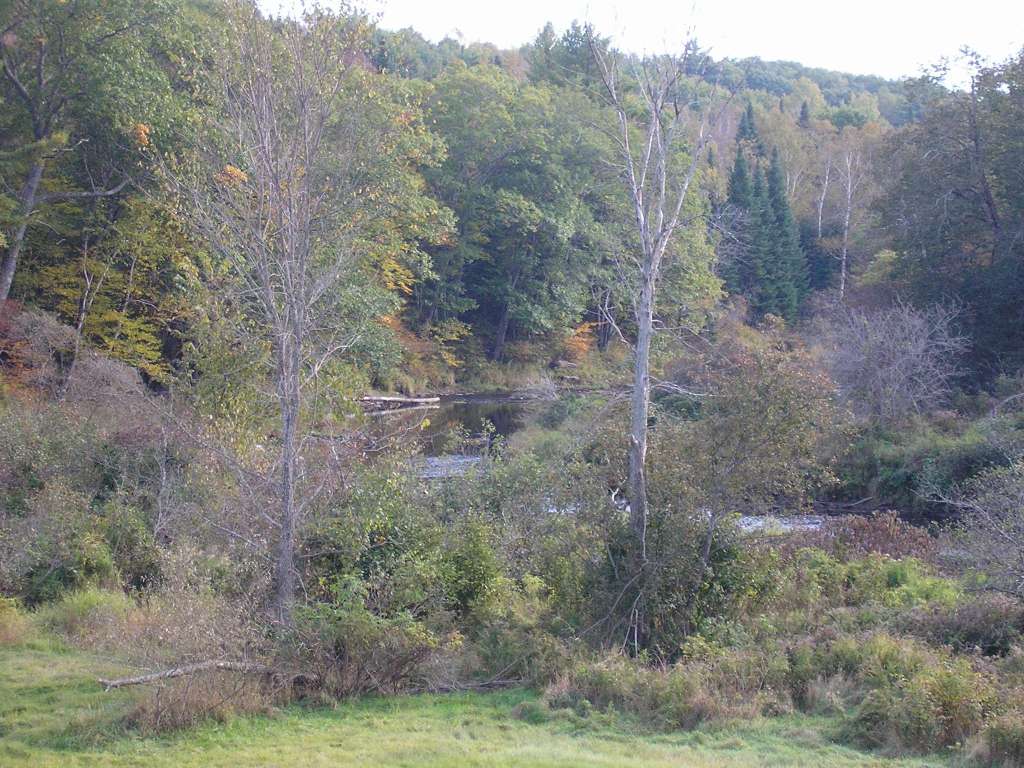
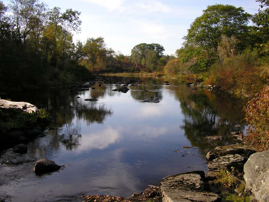
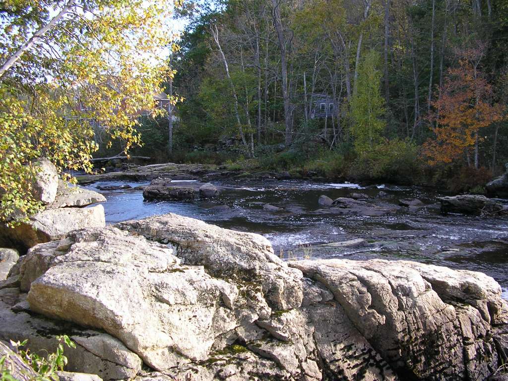
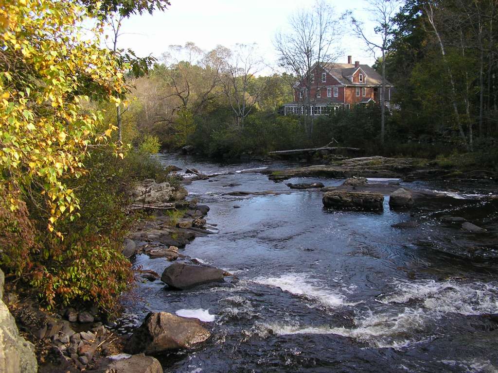
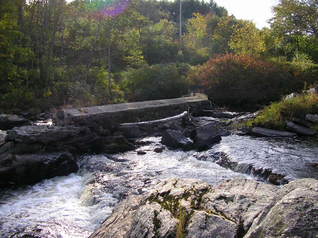
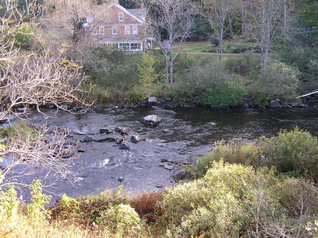
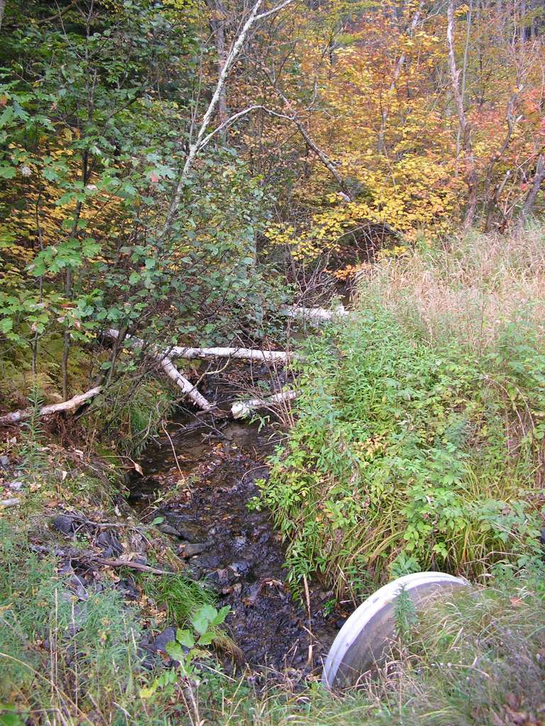
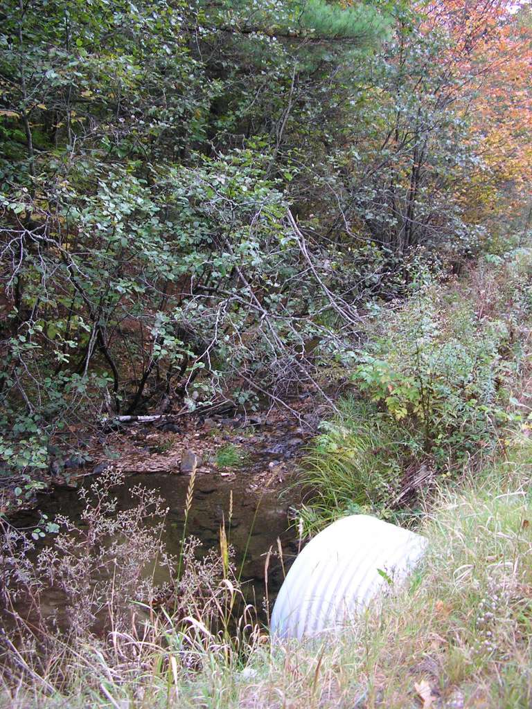
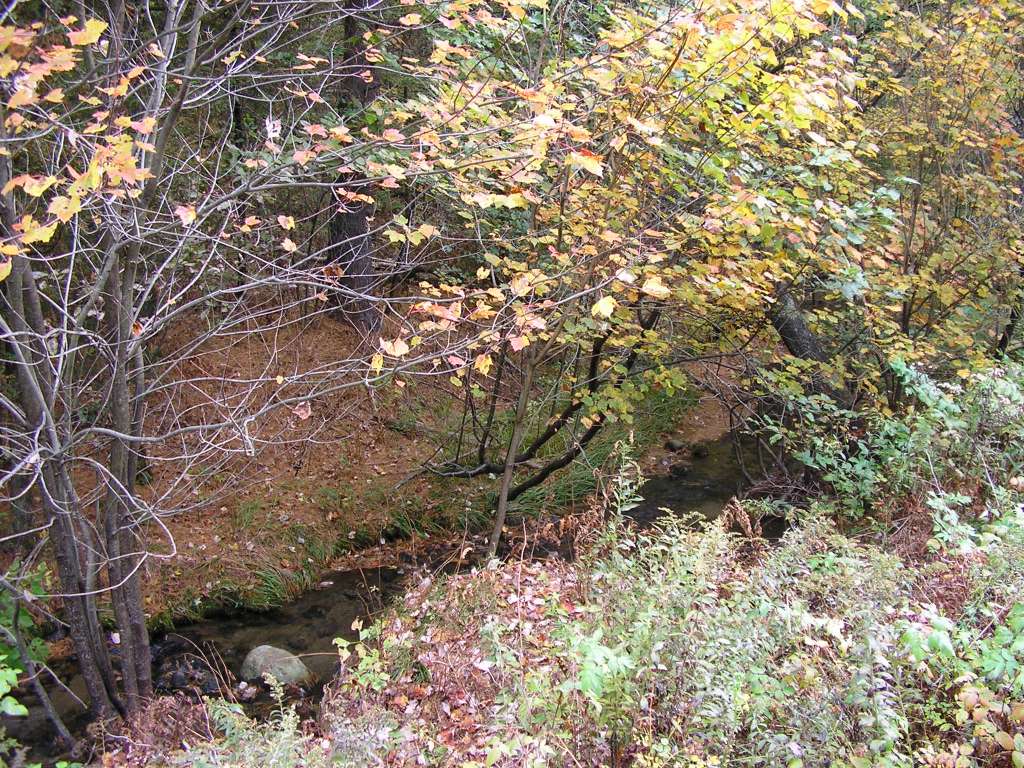
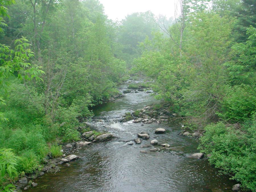
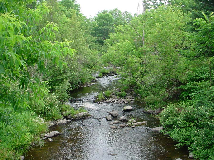
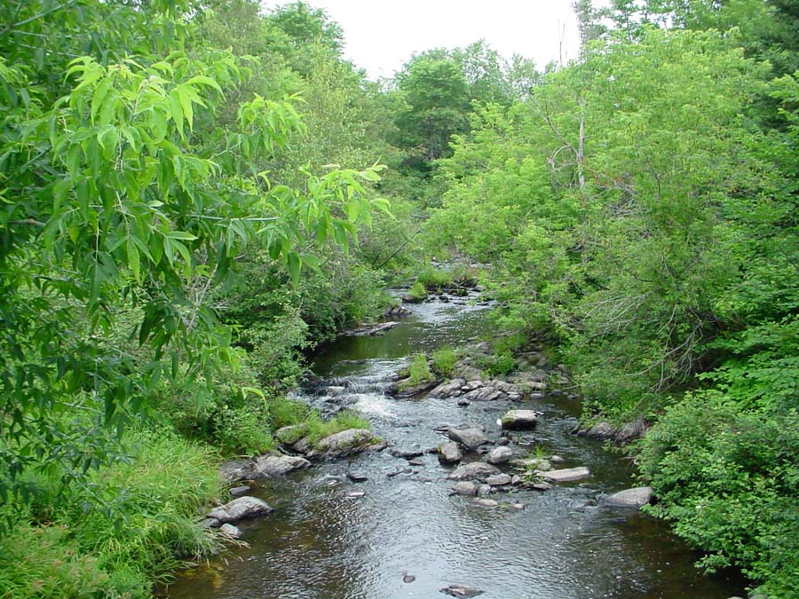
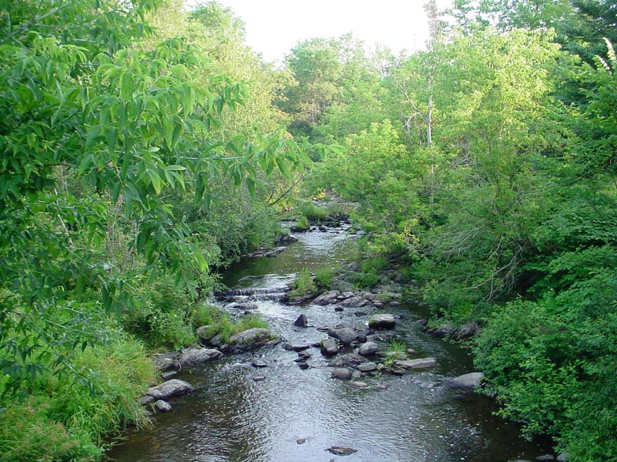
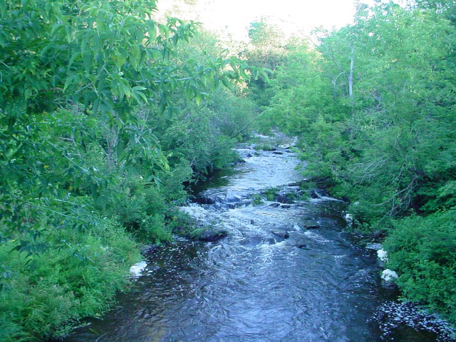
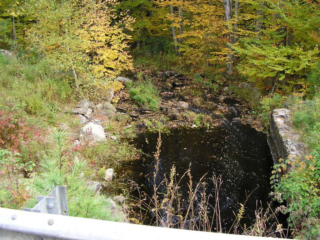
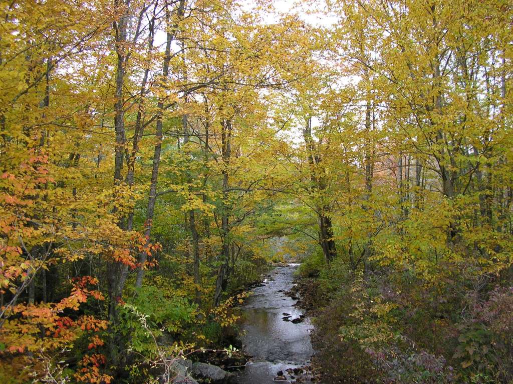
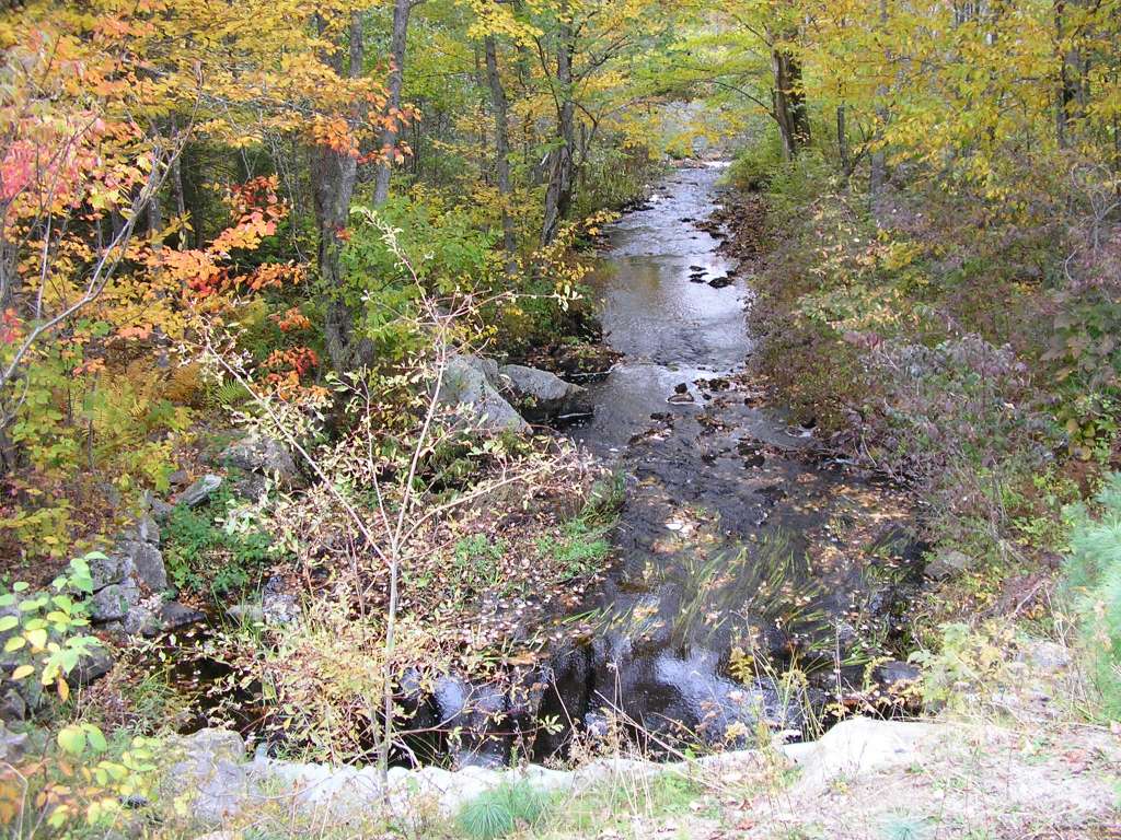
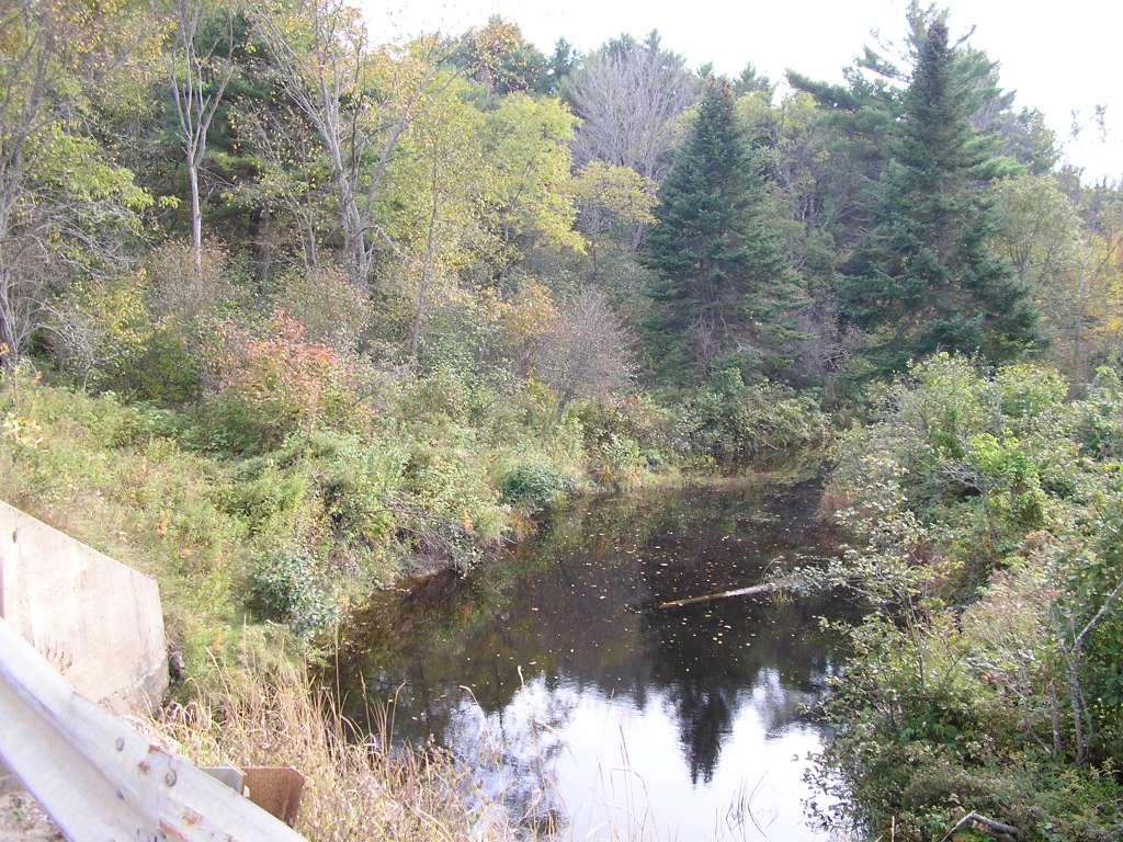
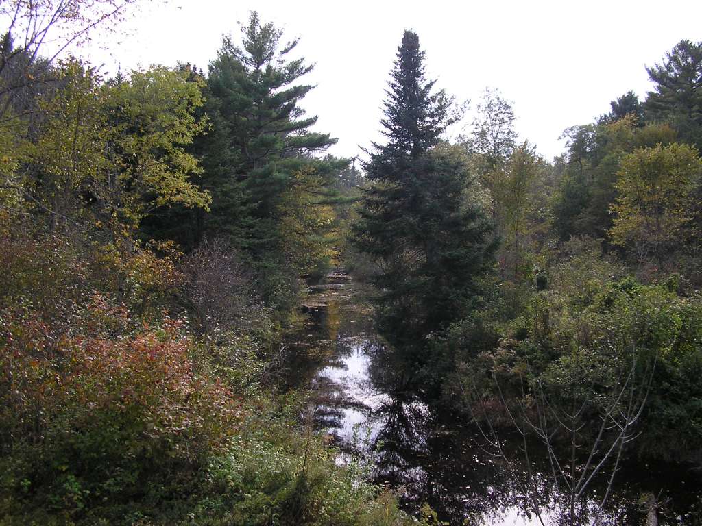
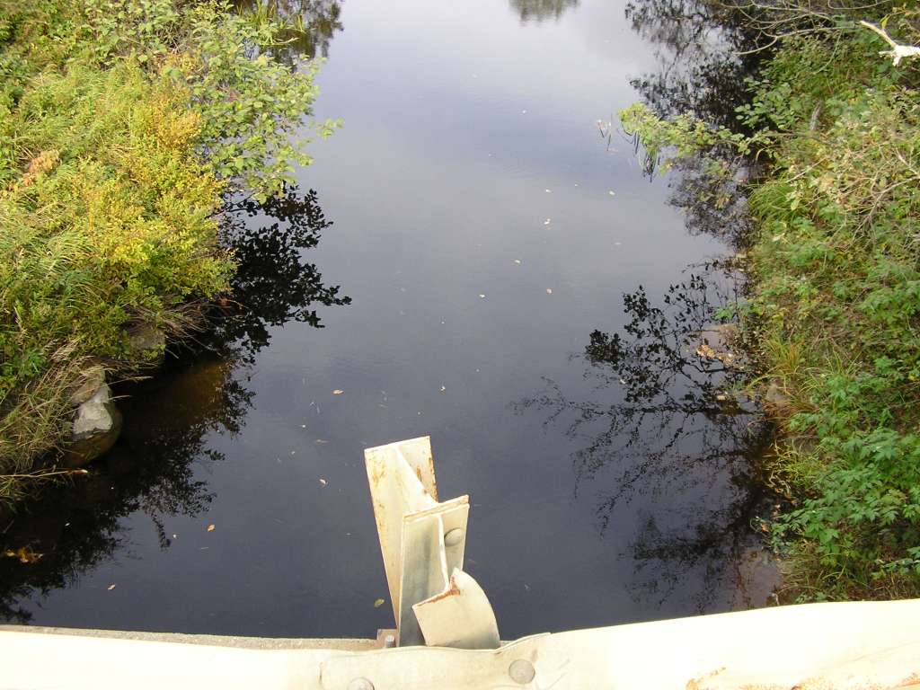
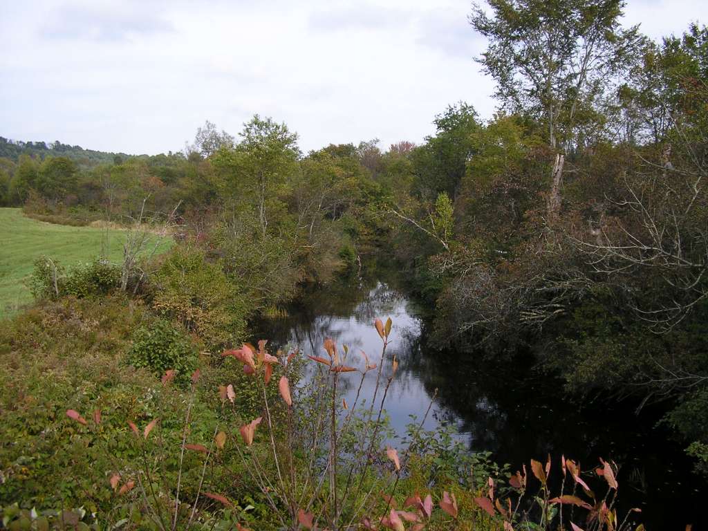
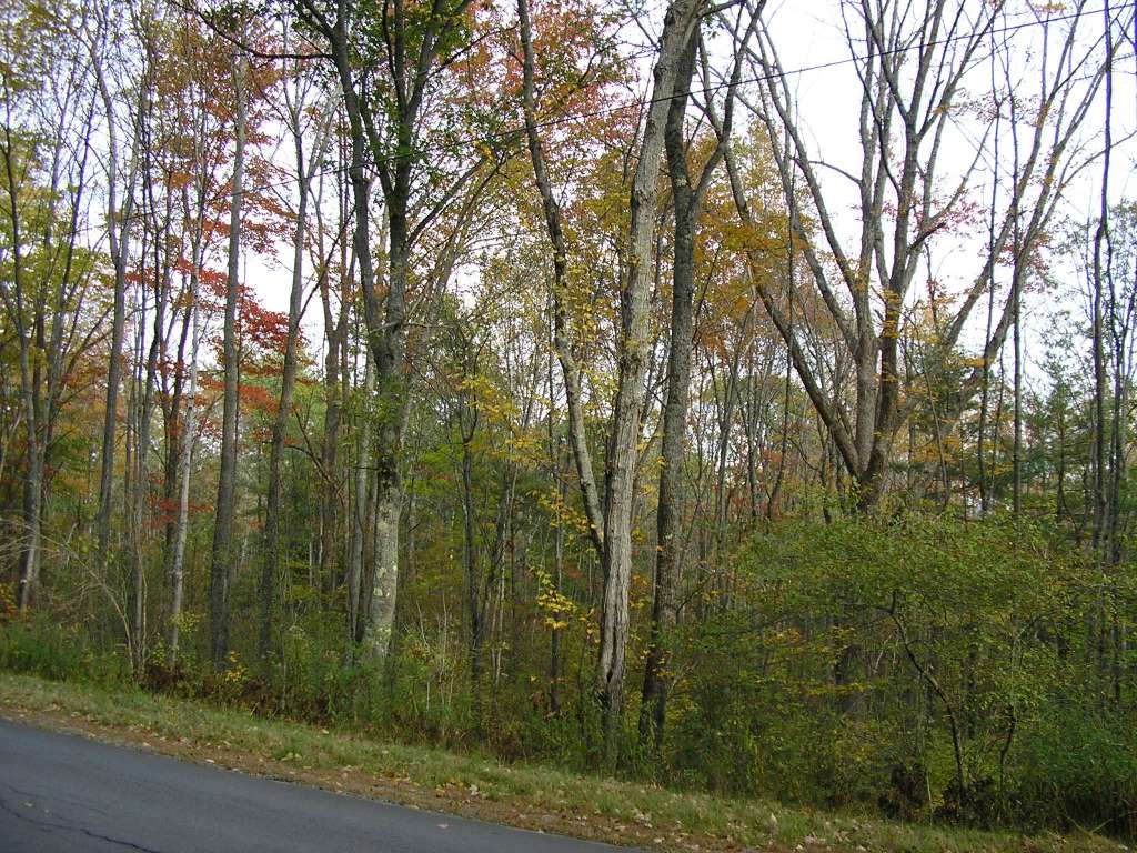
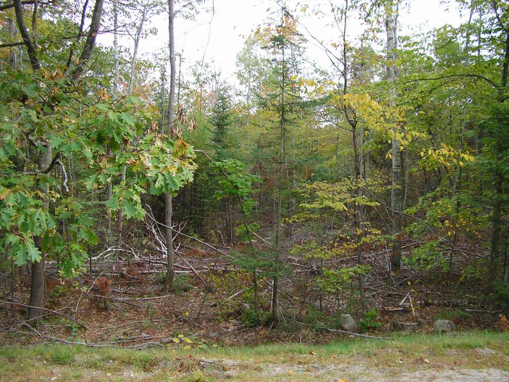
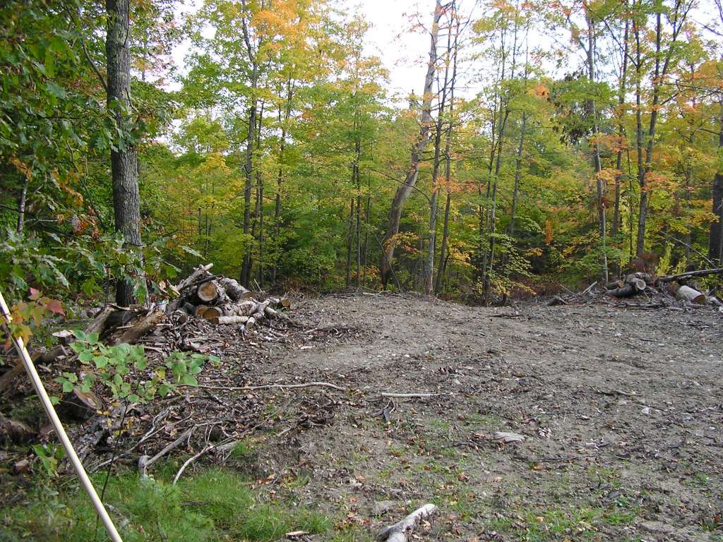
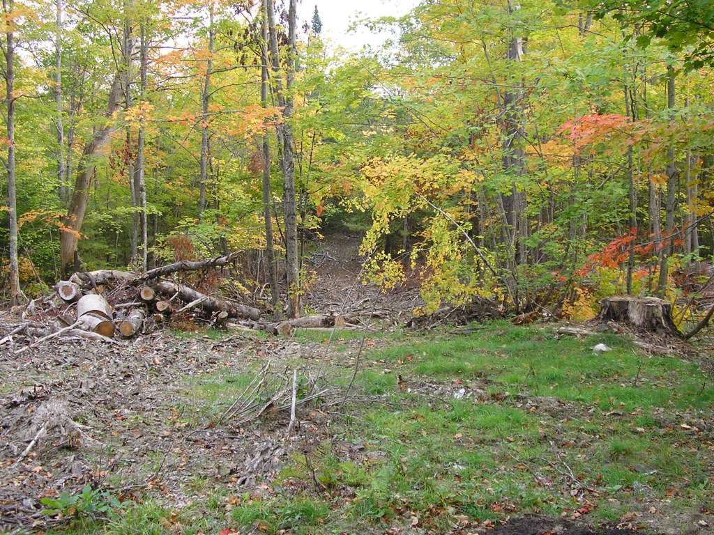
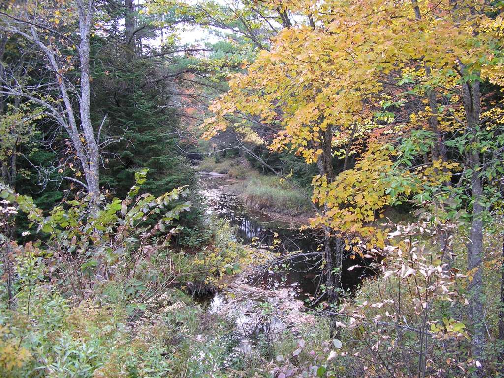
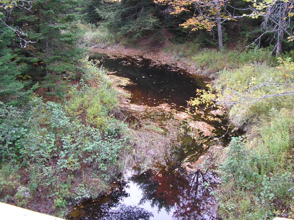
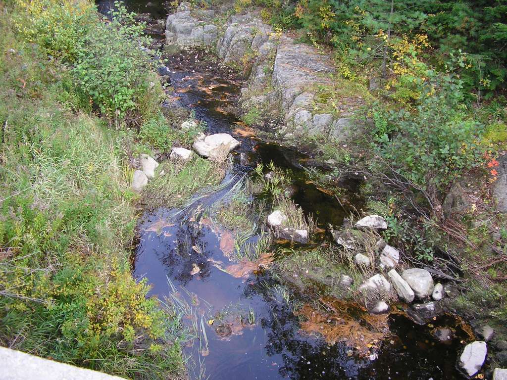
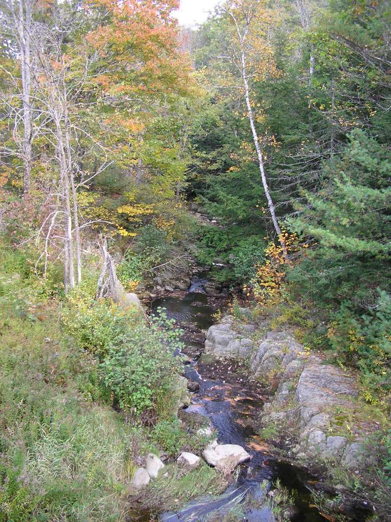
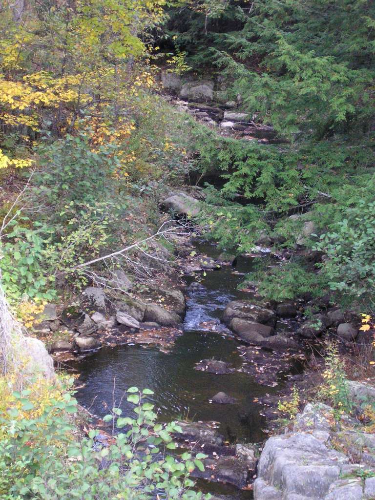
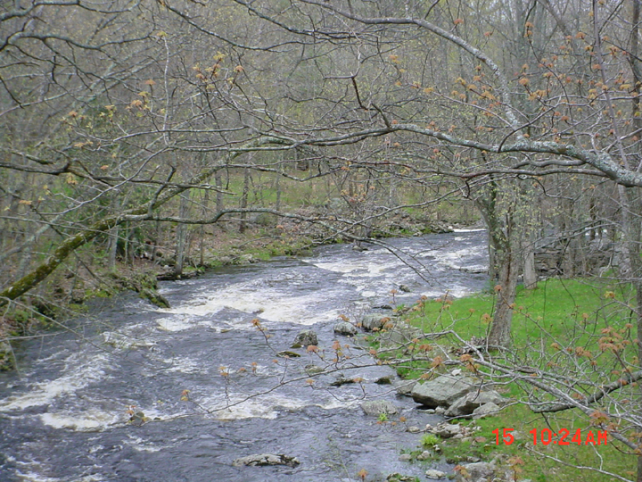
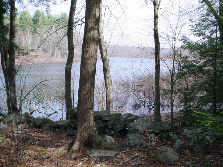
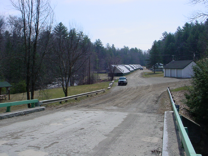
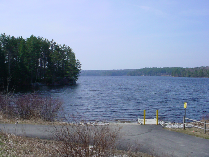
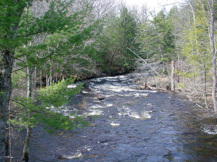
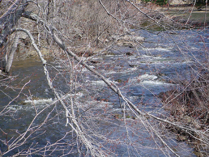
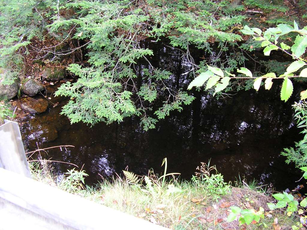
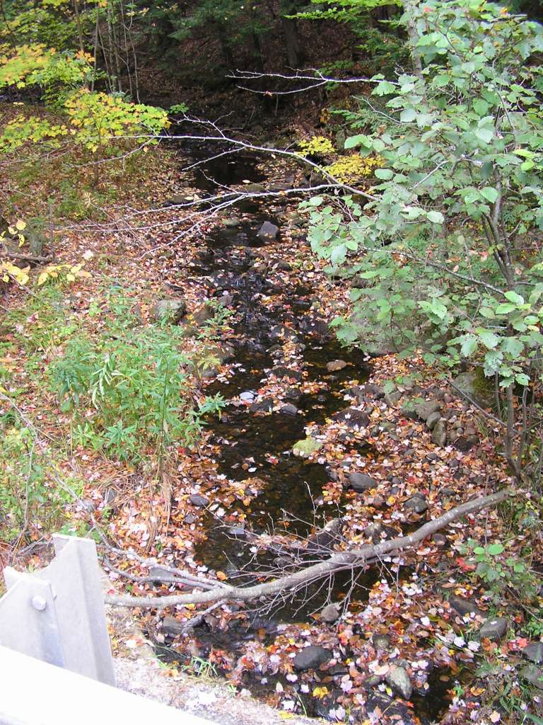
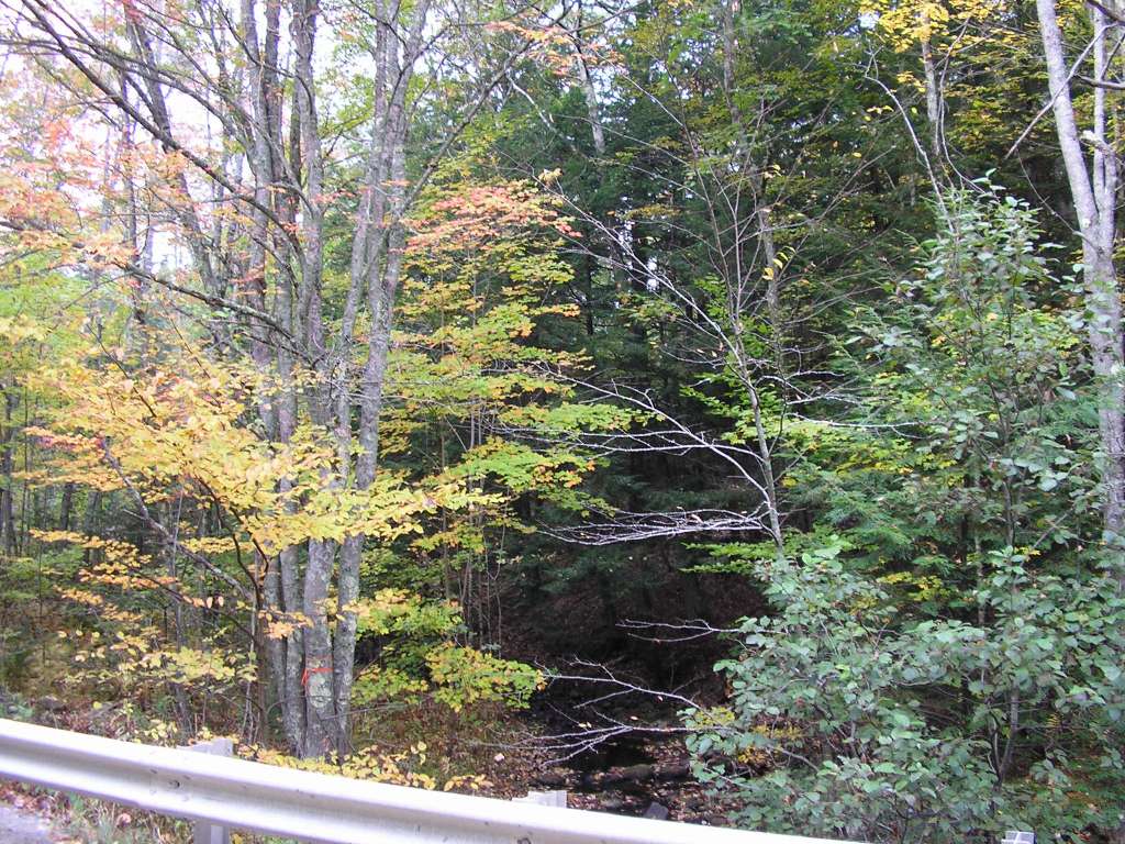
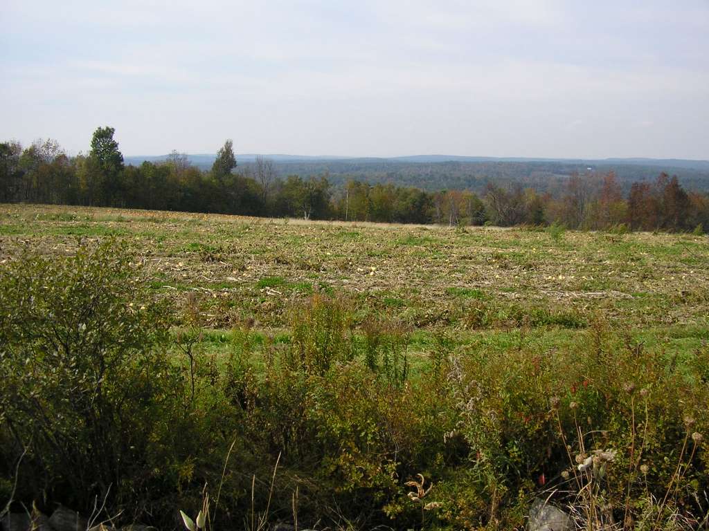
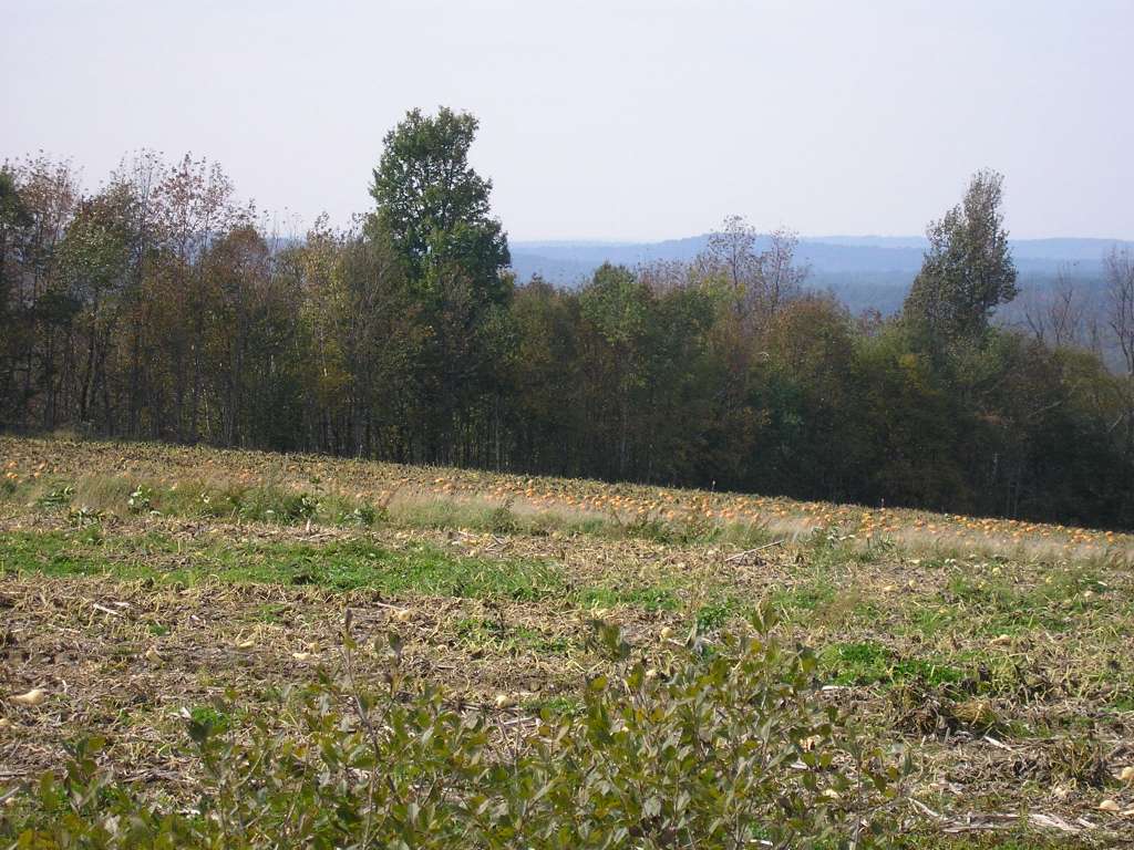
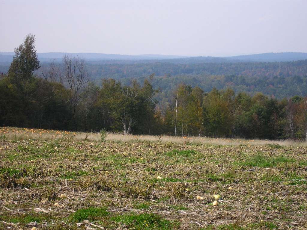
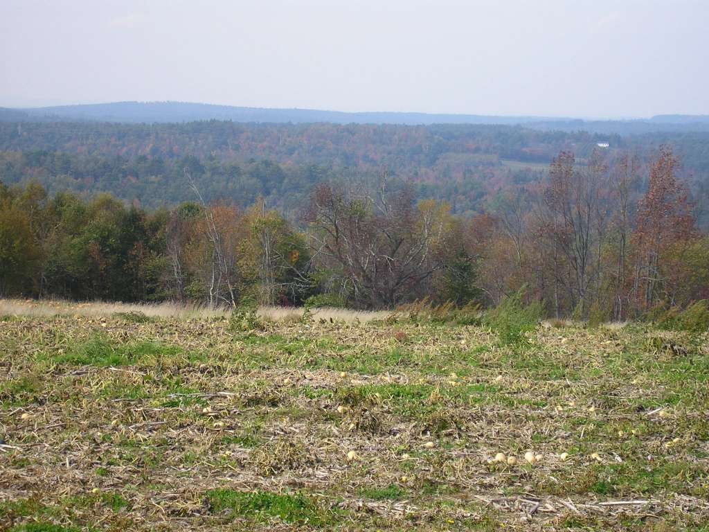
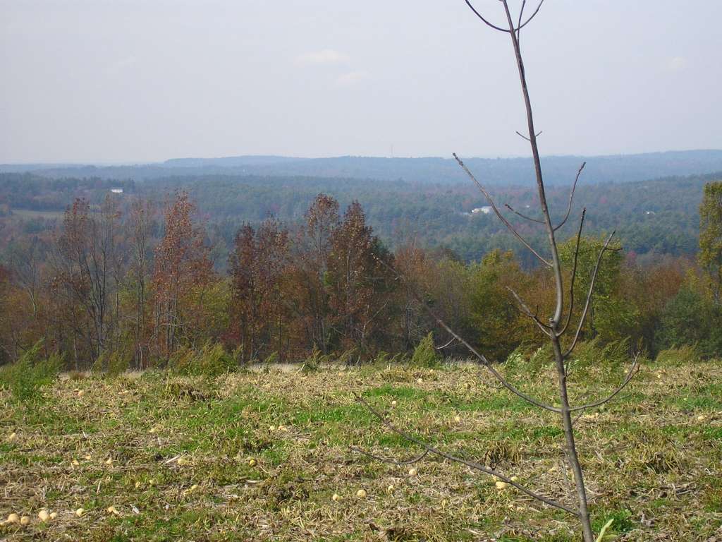
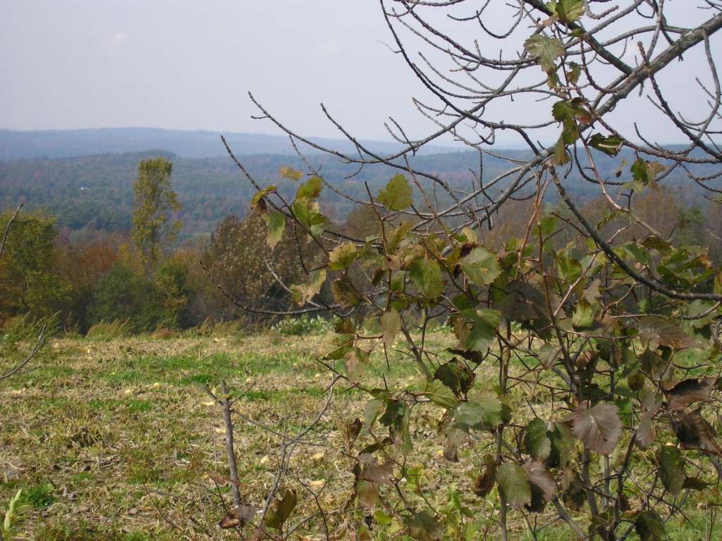
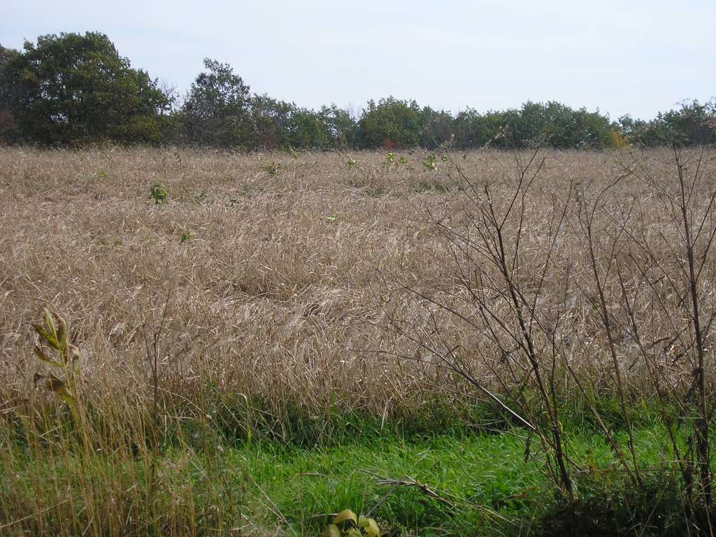
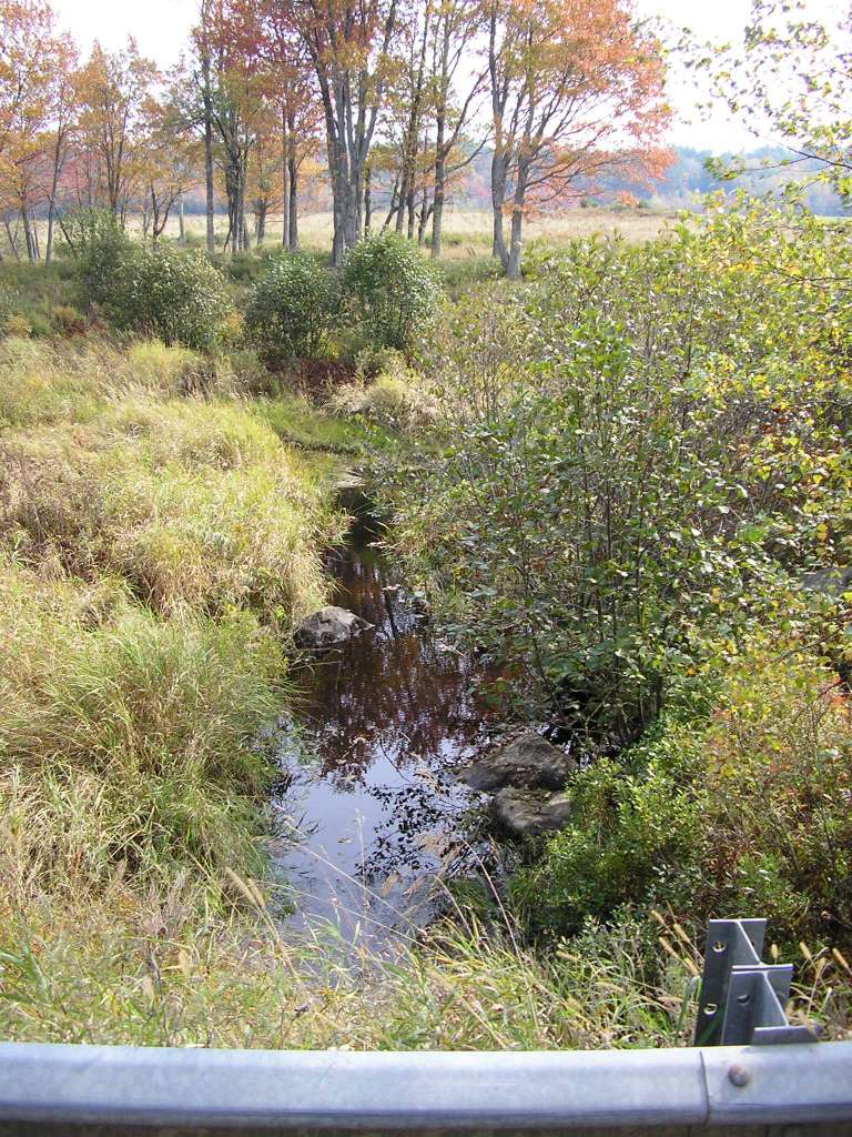
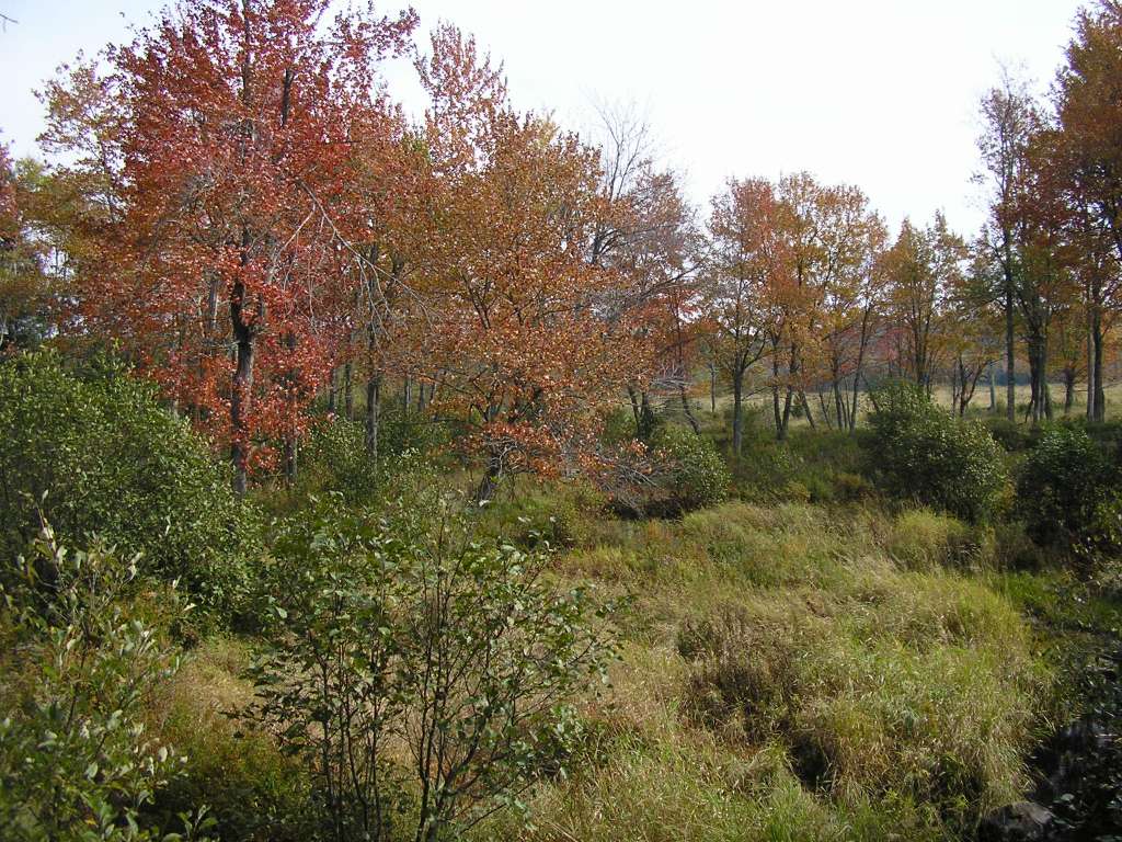
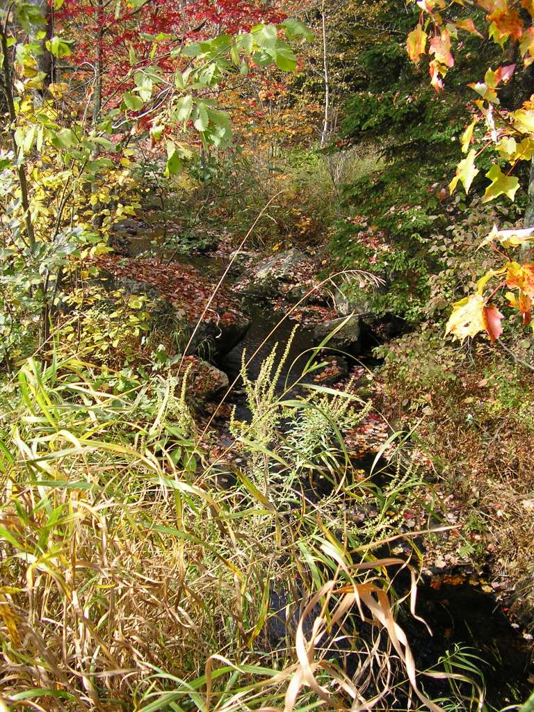
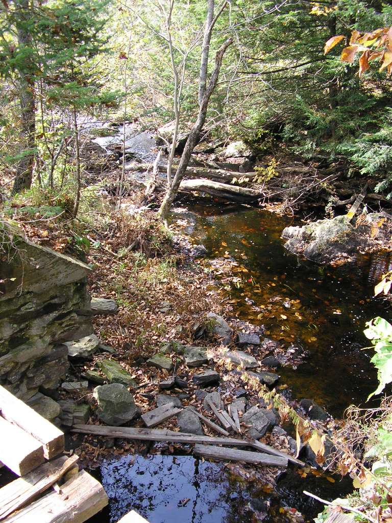
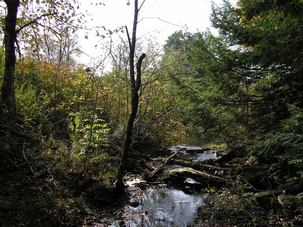
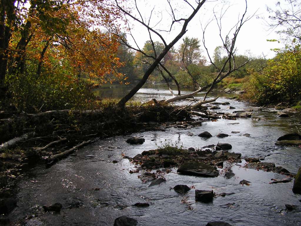
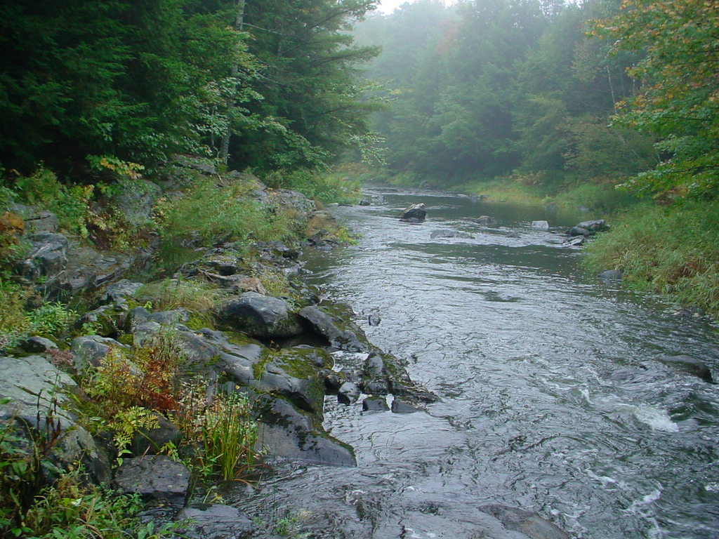
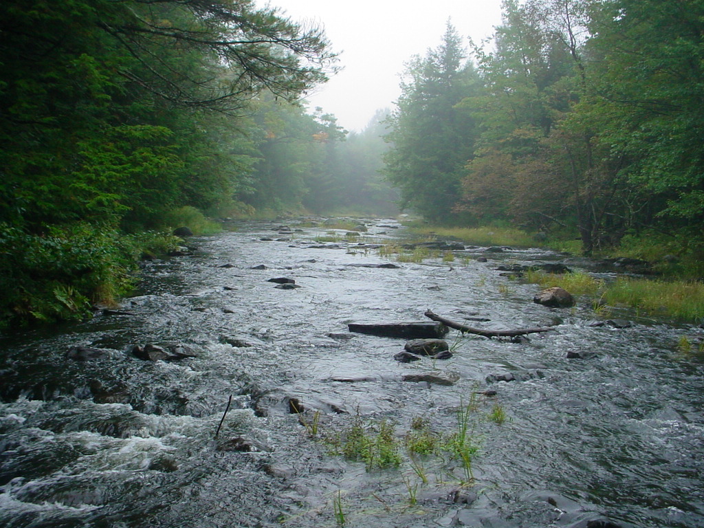
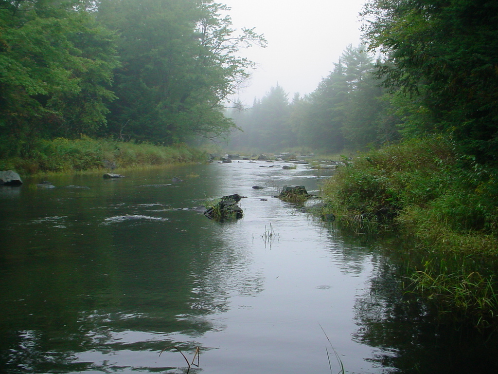
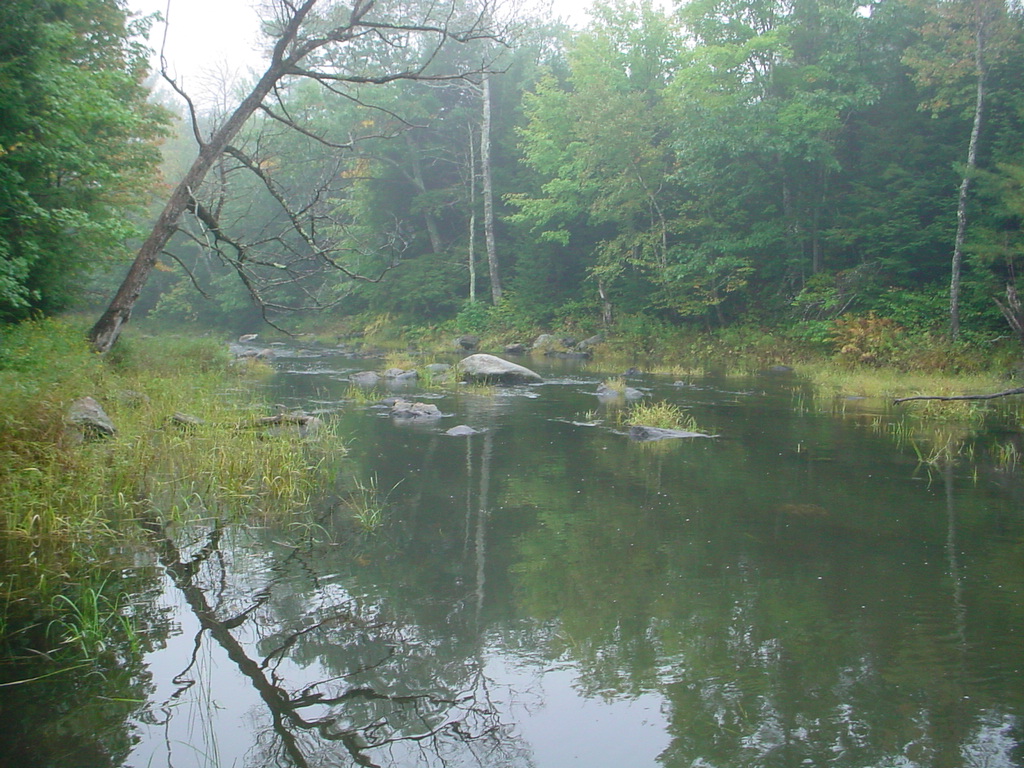
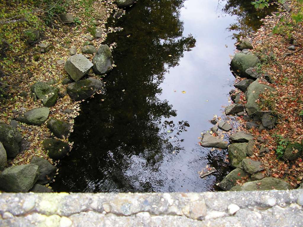
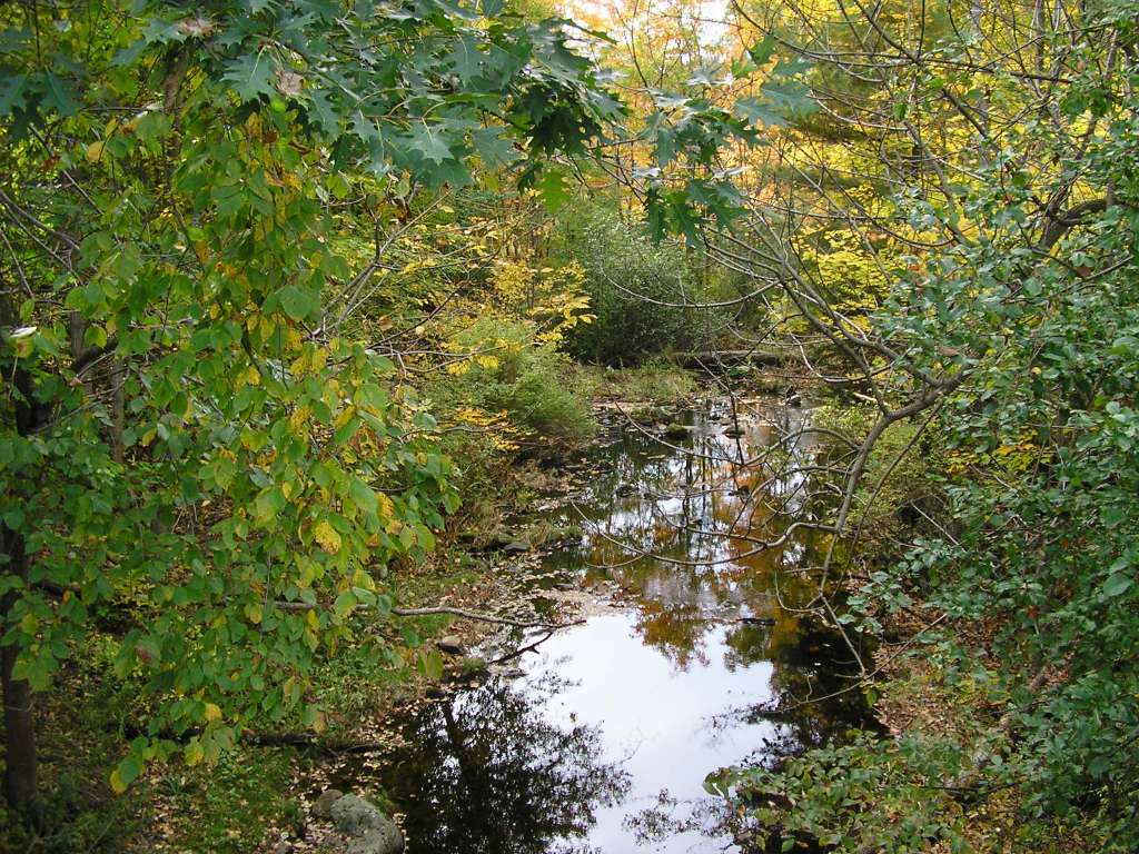
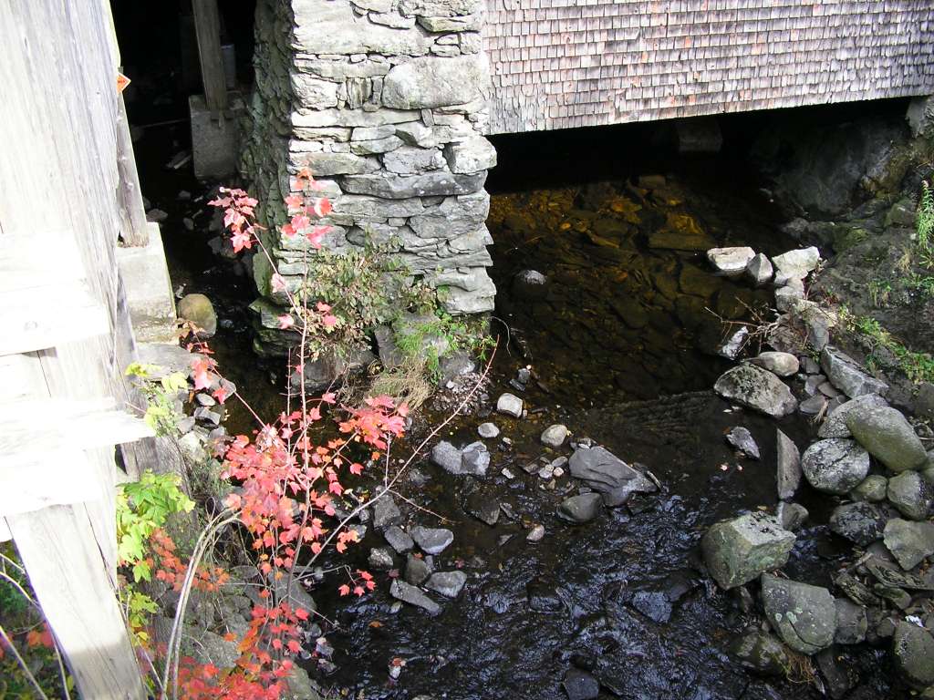
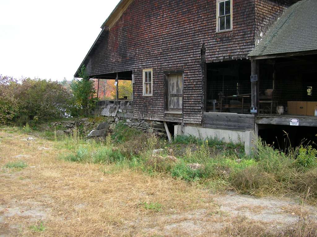
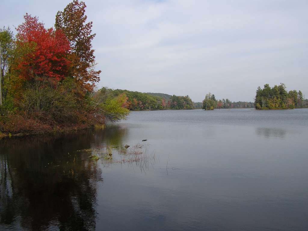
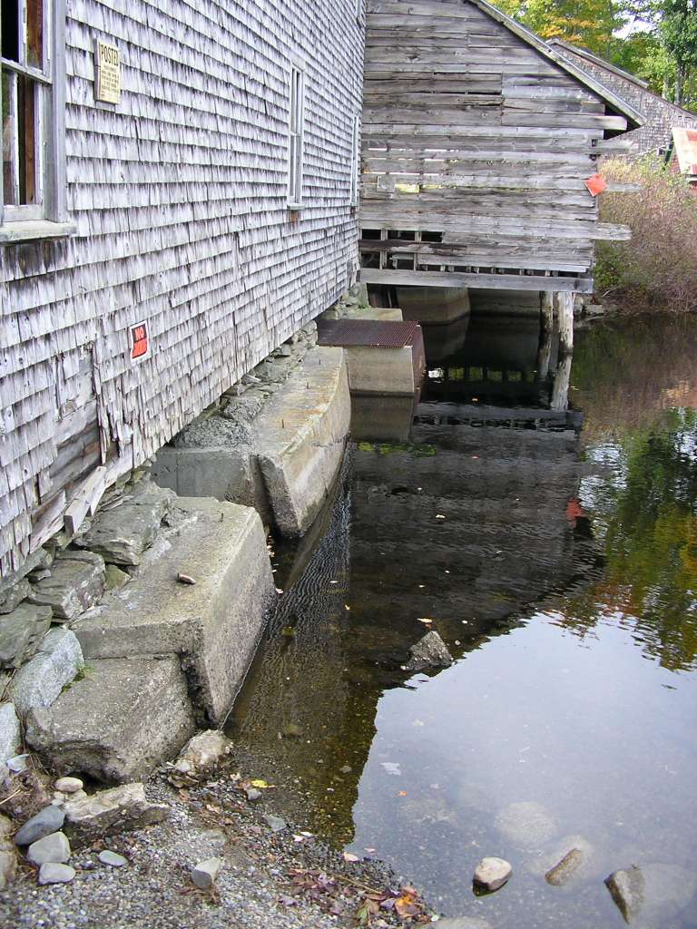
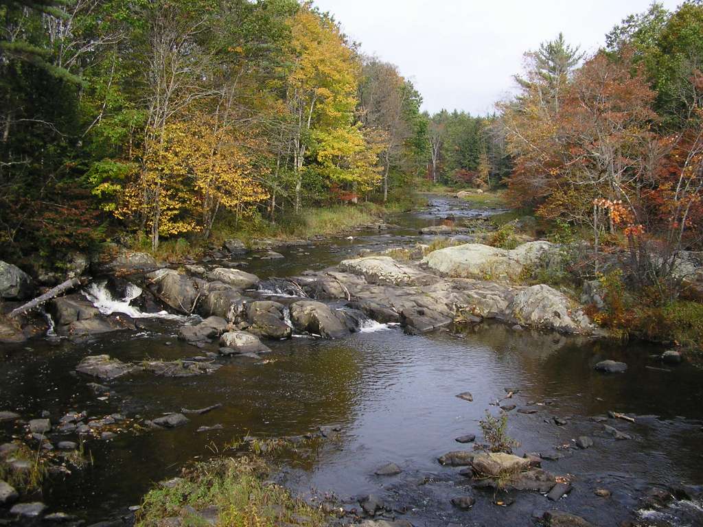
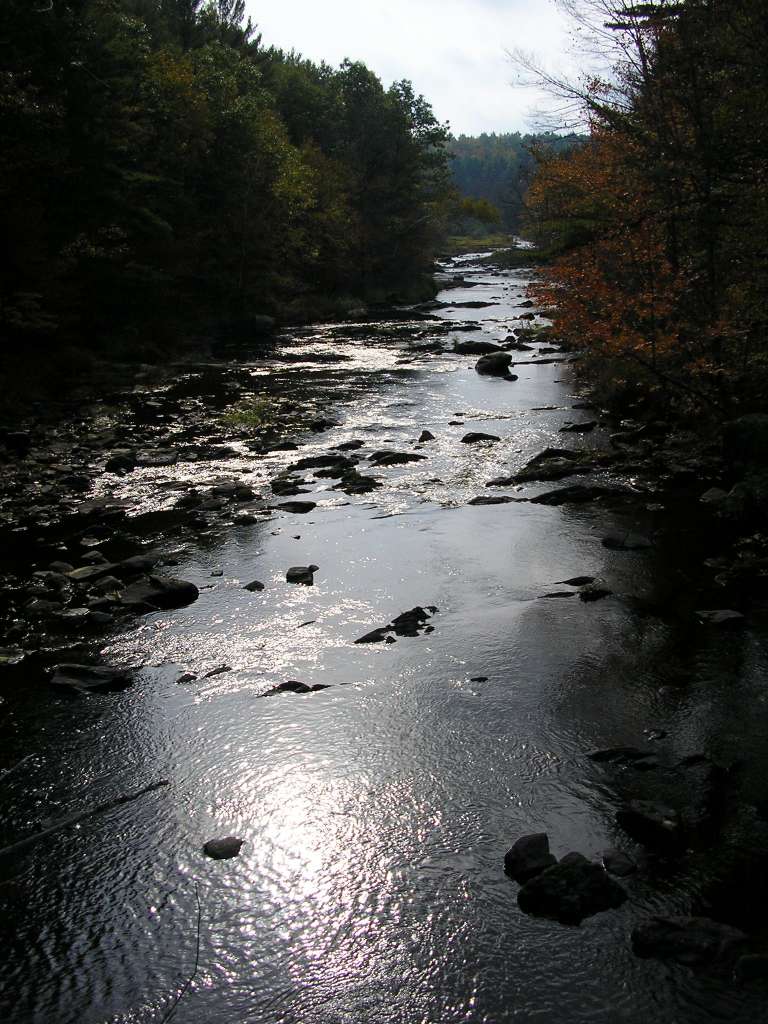
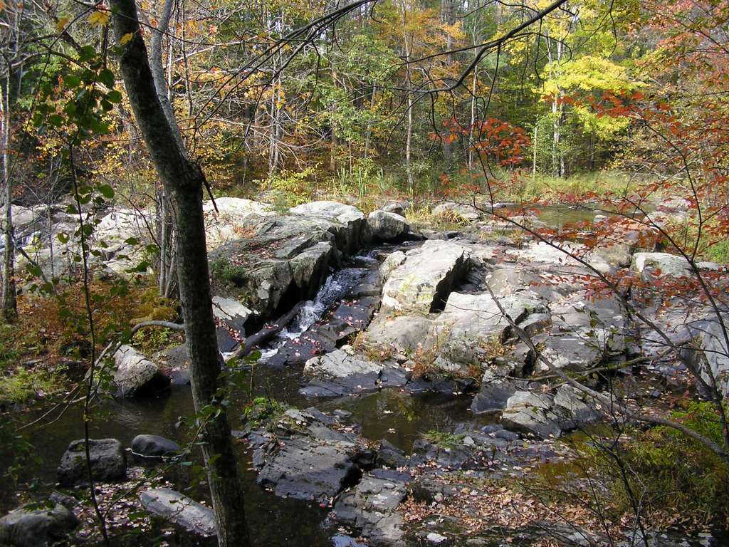
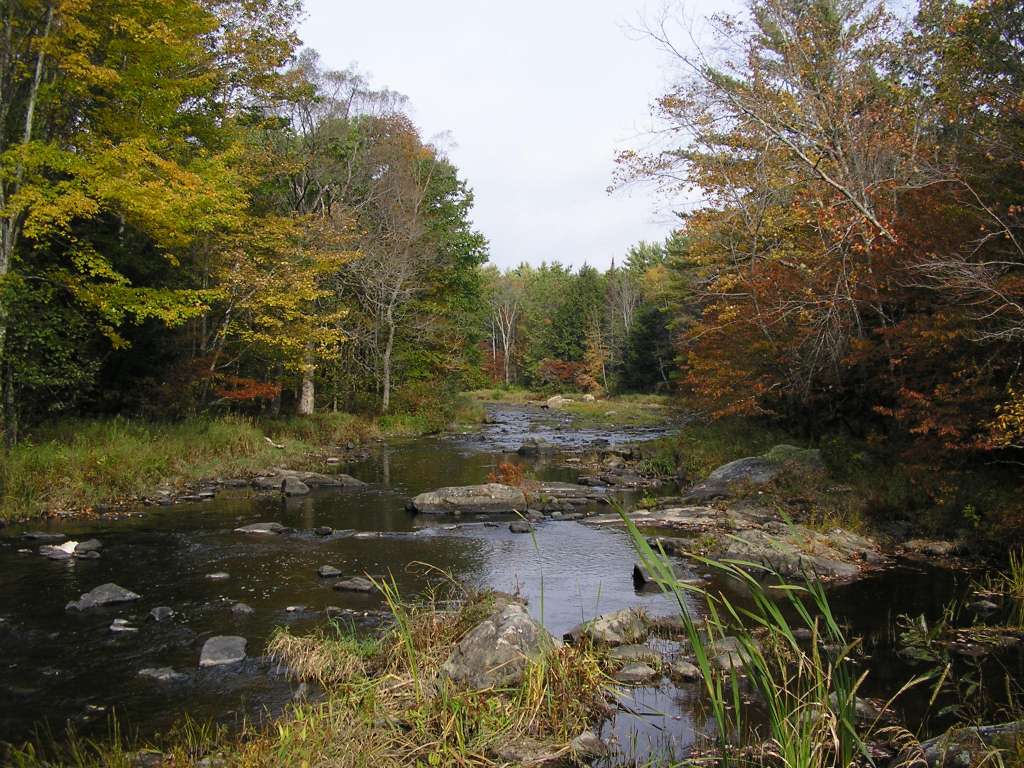
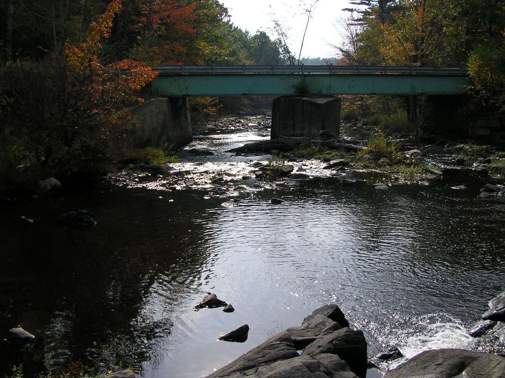
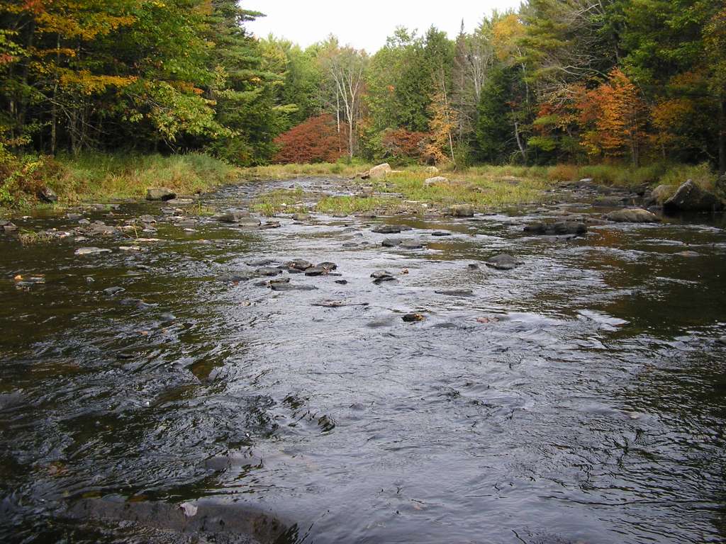
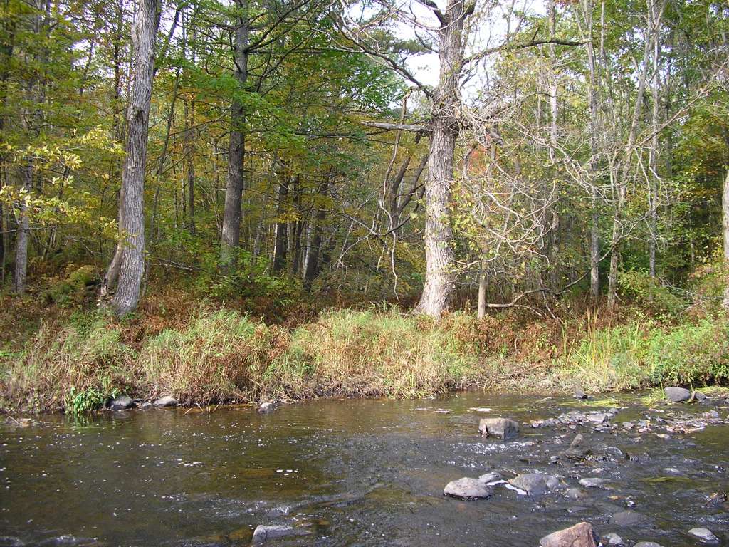
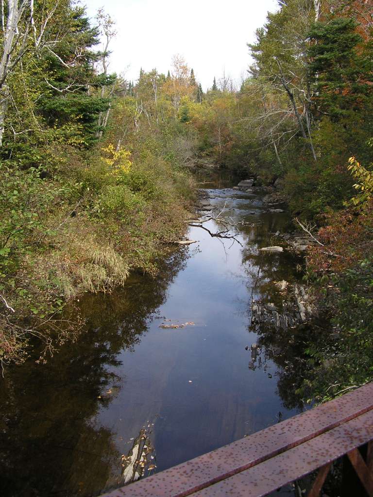
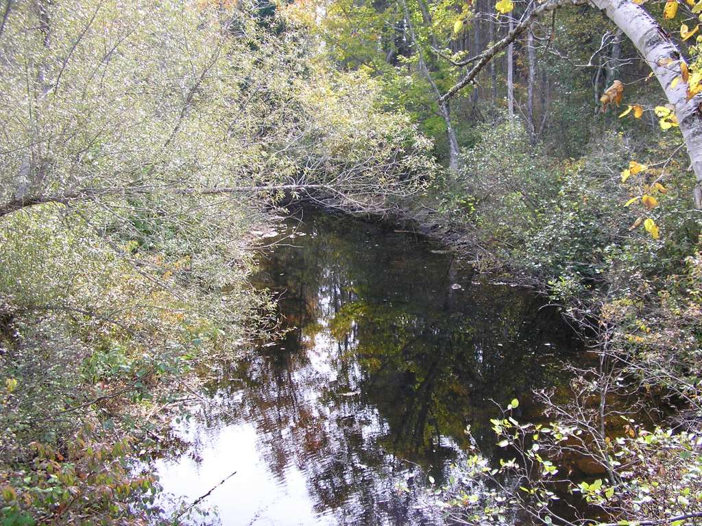
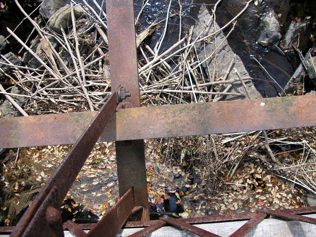
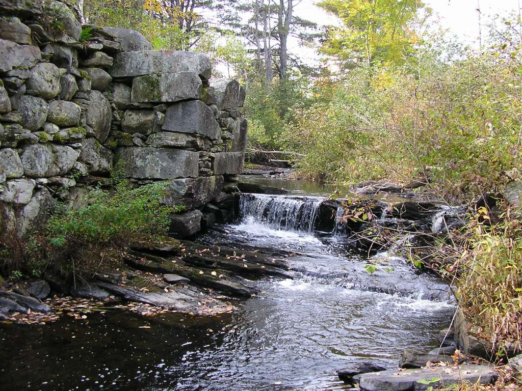
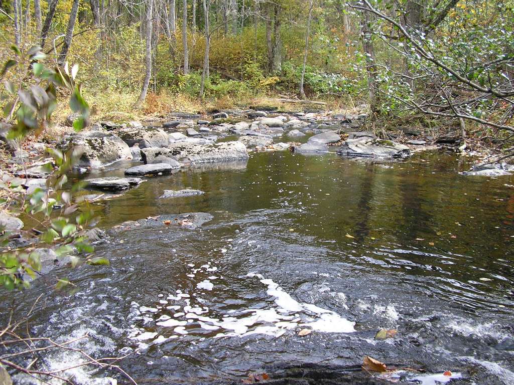
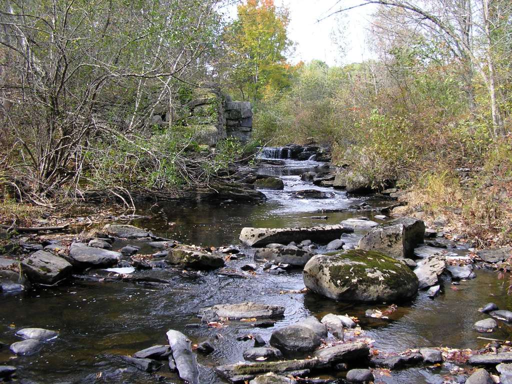
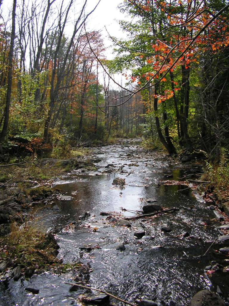
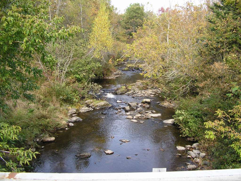
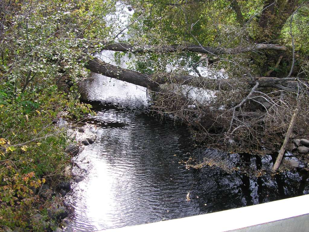