
| Area | Below Head Tide |
| Topic | Tour: Photos of the Sheepscot River below Head Tide 2002 |
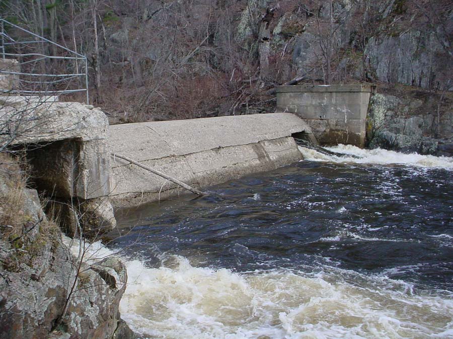
This photo is of the Head Tide Dam in Alna. By 1792 there were five mills in operation at the Head of Tide, three saw mils, a gristmill and a fullingmill. The dam was breached in 1952. Photo by M. Halsted May 2002.
This photo was taken from the bridge in the village of Head Tide looking down stream. Photo by M. Halsted May 2002.
This photo was taken from the bridge in Sheepscot Village looking upstream. The Dyer River joins the Sheepscot River at the right of the picture. Photo by M. Halsted May 2002.
This photo was taken from the bridge in Sheepscot Village looking downstream. Photo by M. Halsted May 2002.
This photo was taken from the public boat landing in Wiscasset looking southeast. Photo by M. Halsted May 2002.
This photo was taken from the Route 144 Bridge leading to Westport looking out towards the Atlantic Ocean. Photo by M. Halsted May 2002.
This photo was taken from the east side of Westport Island looking east towards Boothbay Harbor. Photo by M. Halsted May 2002.
This is a photo of Hendricks Light which is located at the southern tip of the watershed at the southern end of Southport. Photo by M. Halsted May 2002.
 Click on image to enlarge (153K).
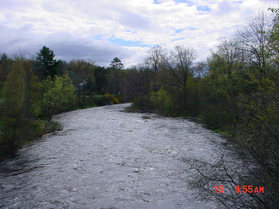 Click on image to enlarge (122K).
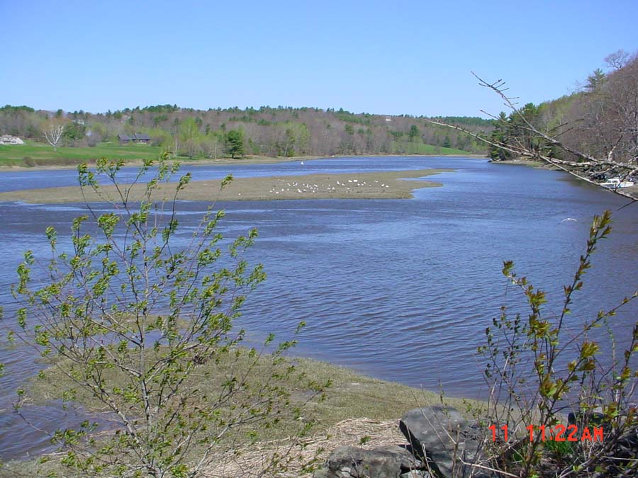 Click on image to enlarge (131K).
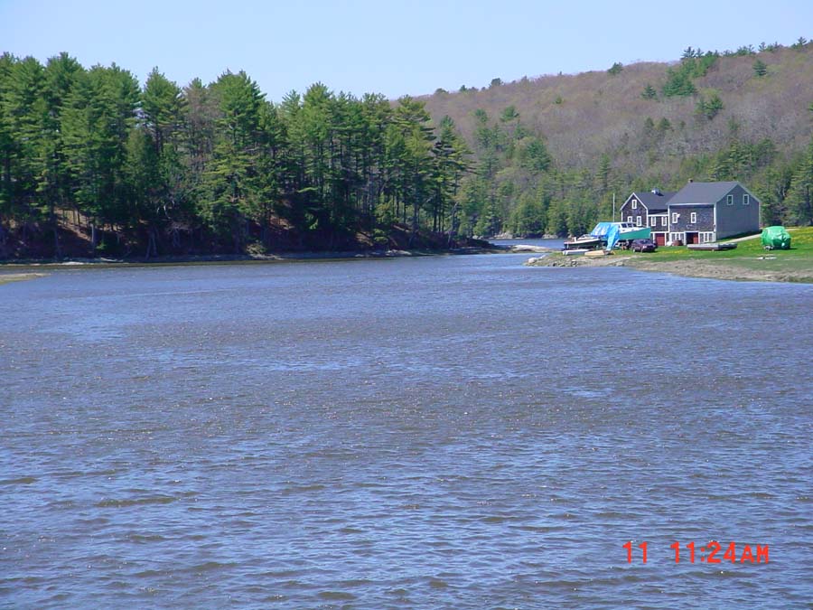 Click on image to enlarge (124K).
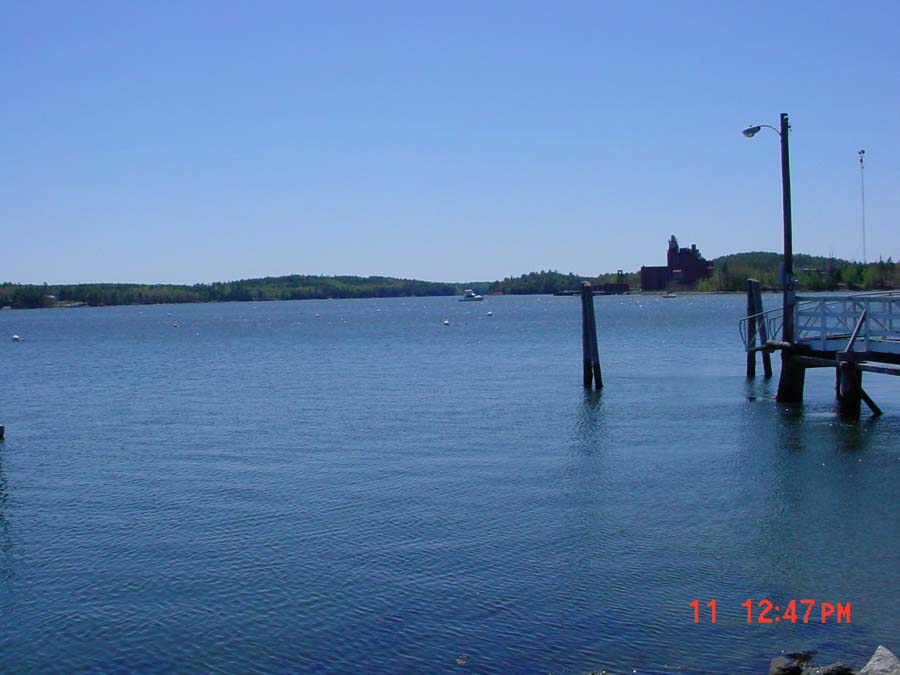 Click on image to enlarge (71K).
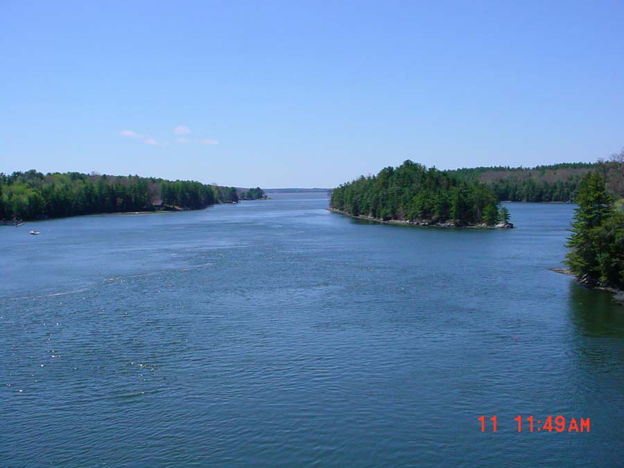 Click on image to enlarge (72K).
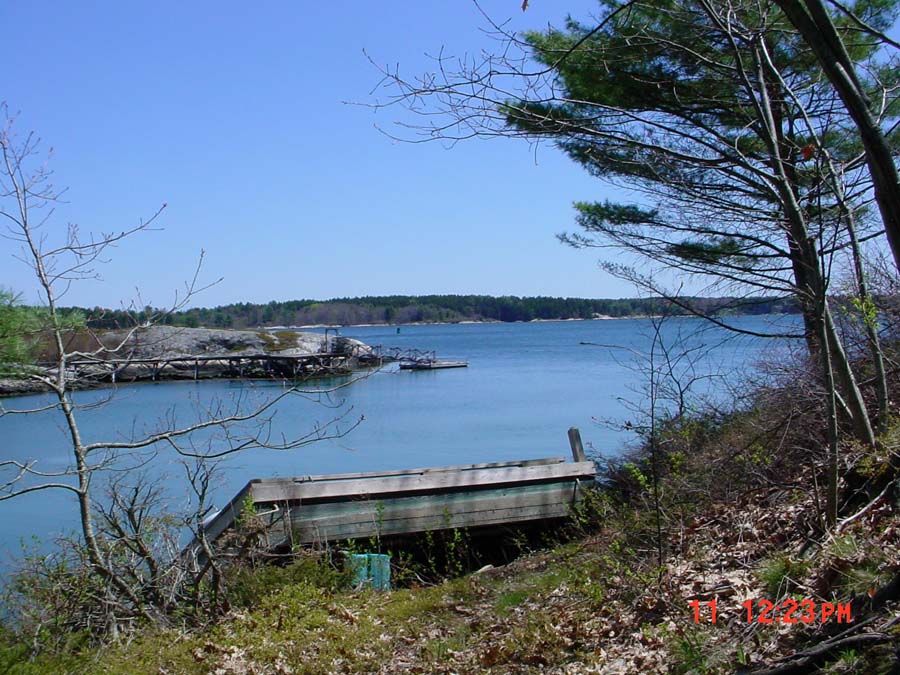 Click on image to enlarge (153K).
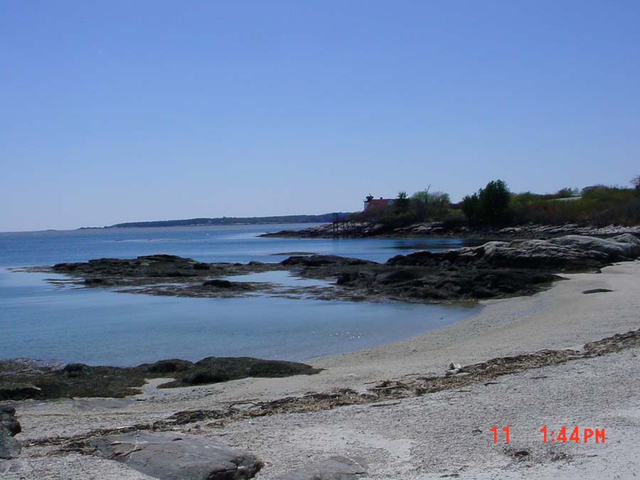 Click on image to enlarge (82K).
To learn more about this topic click Info Links
To view additional information (data source, aquisition date etc.) about this page, click Metadata
| www.krisweb.com |