| Area |
Basin-wide/Regional |
| Topic |
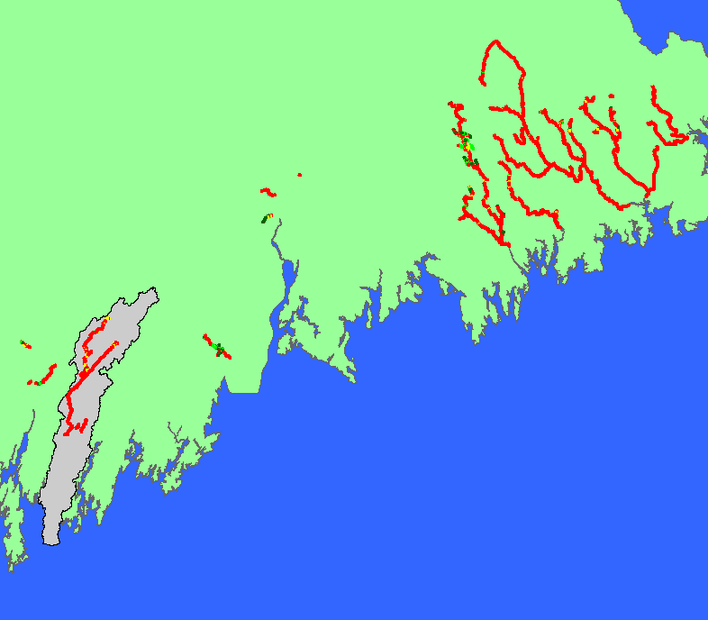
Habitat: Canopy and Stream Width in Maine Salmon Rivers 1984-2000 |
To view a more detailed version of this map click
here
|
The map shows canopy coverage for habitat units in all streams surveyed in Maine salmon rivers during 1984-2000 habitat surveys by the Maine Atlantic
Salmon Commission and U.S. Fish and Wildlife Service. Scale = 1:1,308,228 .
|
|
|
 |
 |
To view metadata about a map layer, click on a link in the table below.
| Name of Layer in Map Legend | Metadata File Name |
|---|
| Atlantic Salmon Habitat - Canopy [USFWS] | ashab2.shp.txt |
| Project Background | Unavailable |
| Maine | Unavailable |
If you obtain KRIS on a CD and install it on your hard drive as a desktop program, you will have access to increased map capabilities such as zooming in/out, turning layers on/off, adding layers and changing legends.
