| Area |
Basin-wide/Regional |
| Topic |
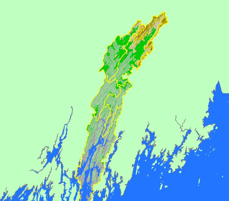
Map: 1D. Elevation, Sheepscot River Watershed |
To view a more detailed version of this map click
here
|
This map is a Digital Elevation Model (DEM) showing the topography of the landscape in the Sheepscot River watershed, displayed with sub-basin
boundaries. Data were contributed by the U.S. Geological Survey (USGS) and Maine Office of Geographic Information Systems (MEGIS). Click the
check box next to a layer to toggle it on/off. Other available themes include Topographic Maps, Soil Erodibility, Populated Places and Streams. Scale = 1:550,590 .
|
|
|
 |
 |
To view metadata about a map layer, click on a link in the table below.
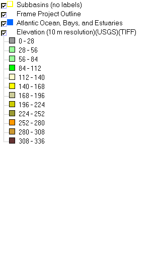
| Name of Layer in Map Legend | Metadata File Name |
|---|
| Subbasins (no labels) | subbasins.shp.txt |
| Frame Project Outline | Unavailable |
| Atlantic Ocean, Bays, and Estuaries | Unavailable |
| Elevation (10 m resolution)(USGS)(TIFF) | colorshade1.tif.txt |
If you obtain KRIS on a CD and install it on your hard drive as a desktop program, you will have access to increased map capabilities such as zooming in/out, turning layers on/off, adding layers and changing legends.
