| Area |
Basin-wide/Regional |
| Topic |
Land Use: Historic Census- Ag. Land in Sheepscot Counties 1850-1997 |
To view a more detailed version of this map click
here
|
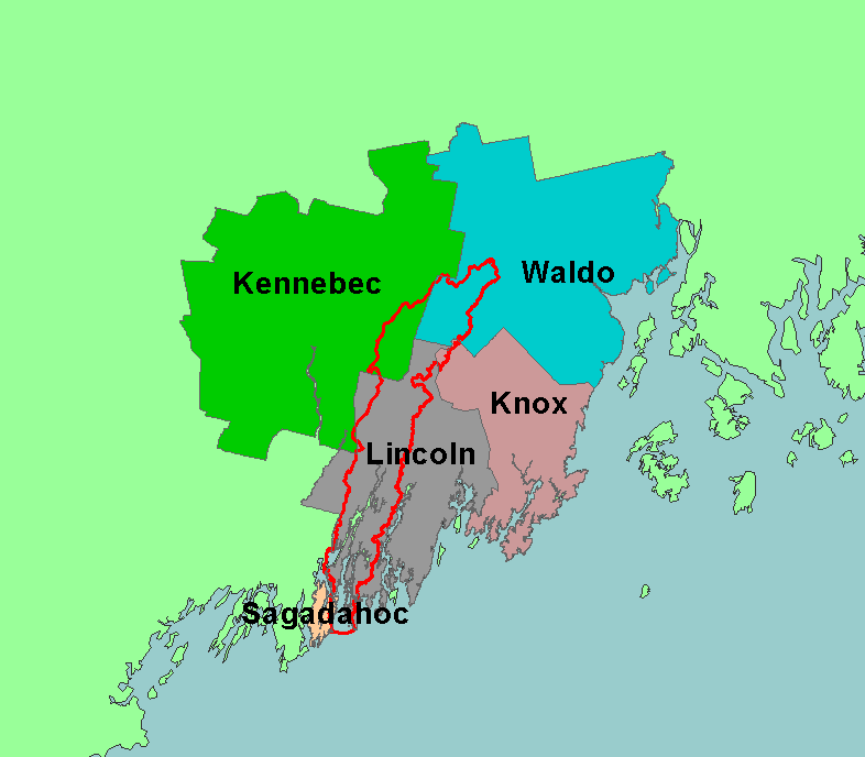
This map shows the counties of the Sheepscot River watershed. Most of the basin is in Waldo, Kennebec, and Lincoln counties, but small portions of
Knox and Sagadohoc are also in the basin. Scale = 1:1,101,385 .
|
|
|
 |
 |
To view metadata about a map layer, click on a link in the table below.
If you obtain KRIS on a CD and install it on your hard drive as a desktop program, you will have access to increased map capabilities such as zooming in/out, turning layers on/off, adding layers and changing legends.
