| Area |
Basin-wide/Regional |
| Topic |
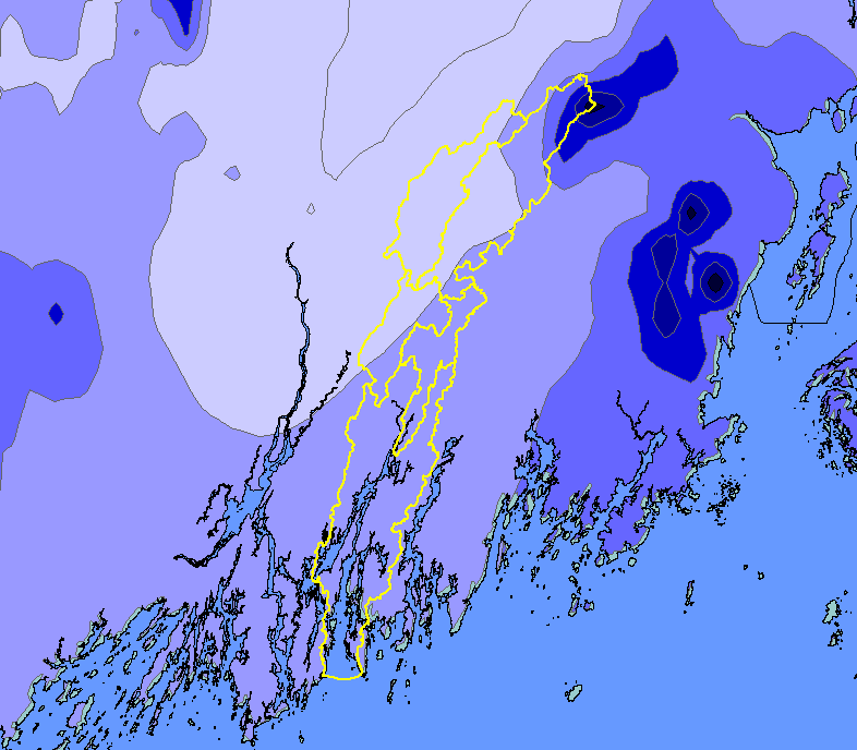
Map: 1G. Precipitation, Sheepscot River Watershed |
To view a more detailed version of this map click
here
|
This map shows mean annual precipitation in the Sheepscot River watershed based on a computer model by the Spatial Climate Analysis Service at
Oregon State University, displayed along with sub-basins and Maine's coastline. The model is based on 1961-1990 rainfall data. Mean annual rainfall in
the basin is 43-53 inches per year, with the highest precipitation occurring in the northeastern corner of the watershed.
|
|
|
 |
 |
To view metadata about a map layer, click on a link in the table below.
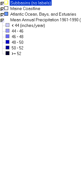
| Name of Layer in Map Legend | Metadata File Name |
|---|
| Subbasins (no labels) | subbasins.shp.txt |
| Maine Coastline | Unavailable |
| Atlantic Ocean, Bays, and Estuaries | Unavailable |
| Mean Annual Precipitation 1961-1990 (PRISM) | rain61_90_me.shp.txt |
If you obtain KRIS on a CD and install it on your hard drive as a desktop program, you will have access to increased map capabilities such as zooming in/out, turning layers on/off, adding layers and changing legends.
