| Area |
Basin-wide/Regional |
| Topic |
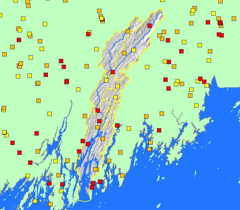
Map: 1J. Dams, Sheepscot River Watershed |
To view a more detailed version of this map click
here
|
This map shows the locations of dams in the Sheepscot watershed and surrounding areas, displayed with sub-basin boundaries, streams, lakes, and a
grayscale hillshade. Data were contributed by the U.S. Army Corp of Engineers (USACE) and Maine Department of Environmental Protection
(MEDEP). Arter (2004) in the KRIS Bibliography contains information on nine of the basin's dams.
|
|
|
 |
 |
To view metadata about a map layer, click on a link in the table below.
If you obtain KRIS on a CD and install it on your hard drive as a desktop program, you will have access to increased map capabilities such as zooming in/out, turning layers on/off, adding layers and changing legends.
