
| Area | Basin-wide/Regional |
| Topic | Tour: Aerial Photo Tour 2004 |
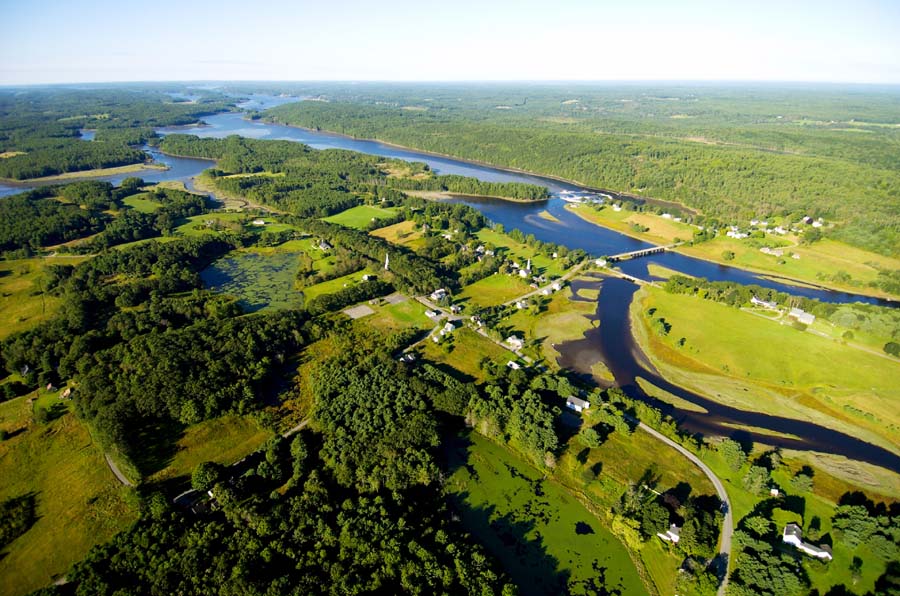
Sheepscot Village is where the Dyer River (left of the photo) joins the Sheepscot. The famous Reversing Falls can be seen below the bridge on the main stem, an area that draws kayakers to the almost constant waves formed by a combination of tides and ledges. Photo by Bridget Besaw Gorman (www.bridgetbesawgorman.com) September 2004.
The Head Tide Dam is a fixture in the town of Alna. This photo taken north of the dam looking south shows a perspective few get to see. Photo by Bridget Besaw Gorman (www.bridgetbesawgorman.com) September 2004.
Kings Mills looks like a postcard on this fine October day with the church and the trees still holding onto some of their color throwing shadows across the Sheepscot. Photo by Bridget Besaw Gorman (www.bridgetbesawgorman.com) October 2004.
The Sheepscot River has several areas that lack riparian buffers. This reach is located in Whitefield. Photo by Bridget Besaw Gorman (www.bridgetbesawgorman.com) September 2004.
North Whitefield is an example of a village in the watershed. The major road is Rte 126. The photo also provides a good example of the land use pattern that is prevalent in the watershed. Photo by Bridget Besaw Gorman (www.bridgetbesawgorman.com) September 2004.
A little further up river and located on the West Branch, this photo of Maxcys Mills shows a similar pattern of development. Photo by Bridget Besaw Gorman (www.bridgetbesawgorman.com) September 2004.
Branch Pond is located in the upper West Branch. This photo is taken south of the outlet looking north at the pond. The top of the Dinsmore Mill can be seen in the center of the photograph. The West Branch outlets the lake directly underneath the mill building. Photo by Bridget Besaw Gorman (www.bridgetbesawgorman.com) October 2004.
Bedrock nick points are prevalent throughout the watershed. This is what one looks like from the air. Photo by Bridget Besaw Gorman (www.bridgetbesawgorman.com) September and October 2004.
 Click on image to enlarge (149K).
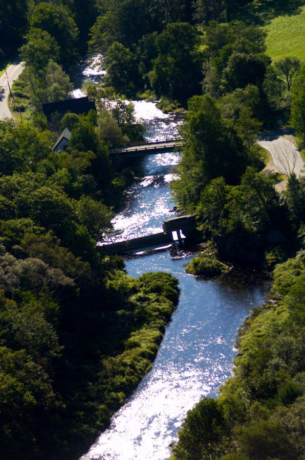 Click on image to enlarge (128K).
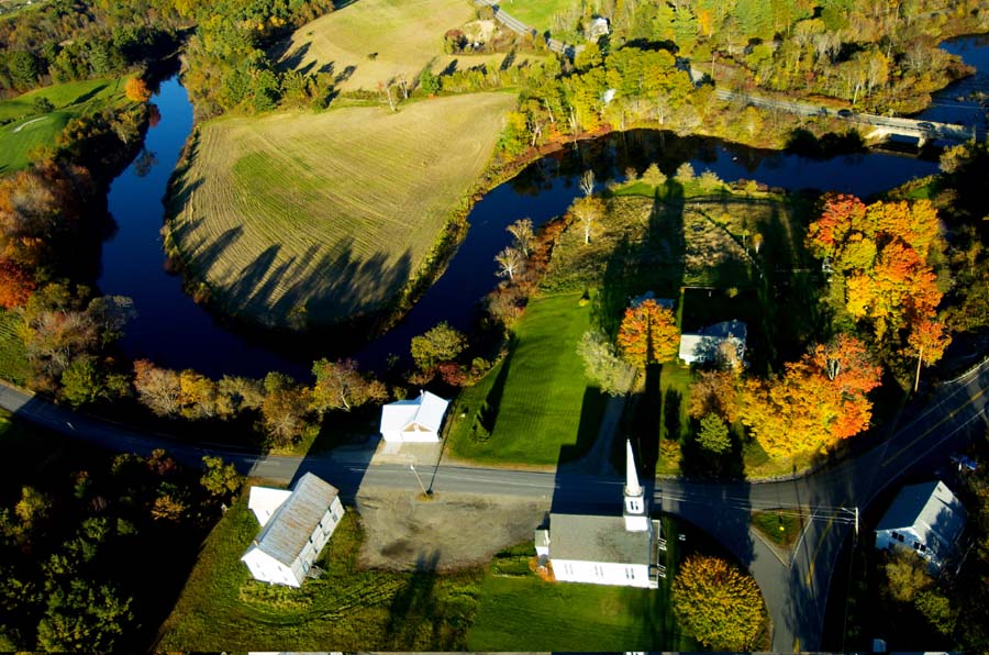 Click on image to enlarge (147K).
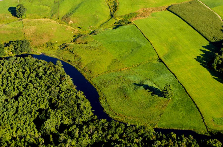 Click on image to enlarge (171K).
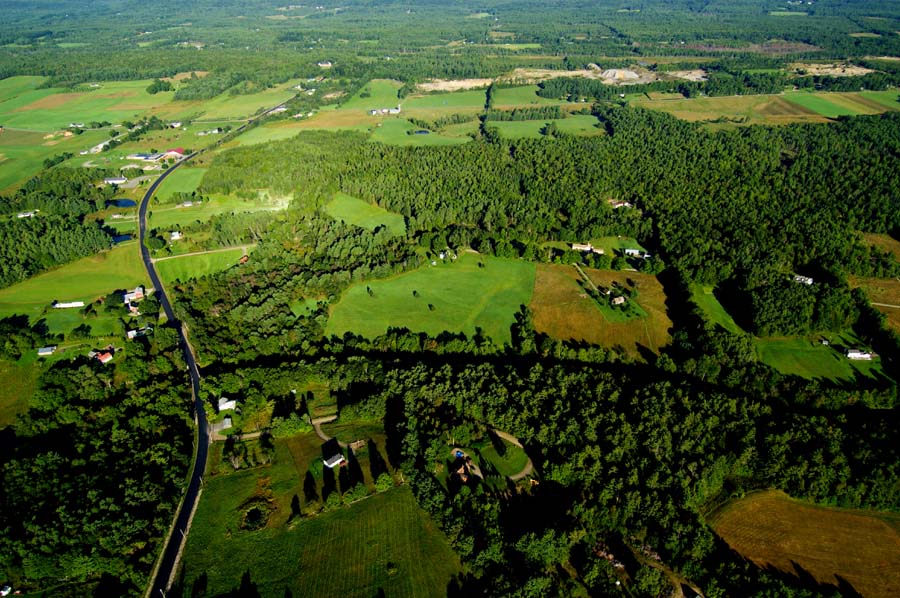 Click on image to enlarge (165K).
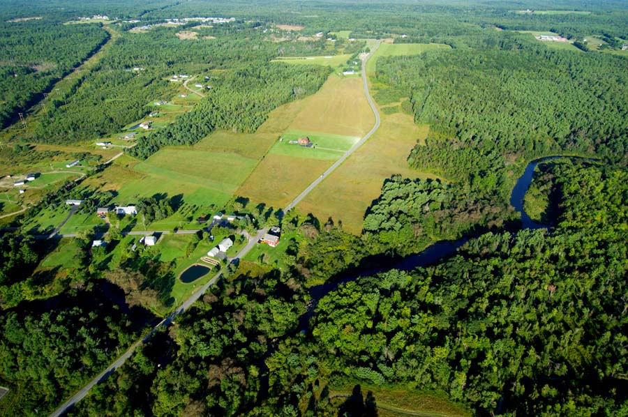 Click on image to enlarge (176K).
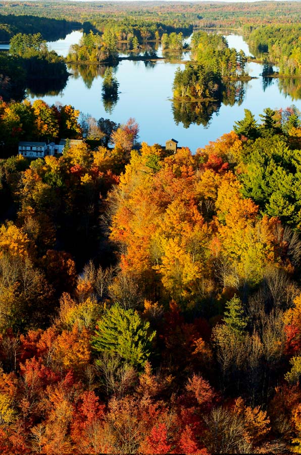 Click on image to enlarge (194K).
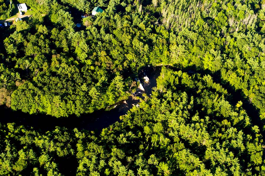 Click on image to enlarge (266K).
To learn more about this topic click Info Links
To view additional information (data source, aquisition date etc.) about this page, click Metadata
| www.krisweb.com |