
| Area | Basin-wide/Regional |
| Topic | Tour: Dams in the Sheepscot River Watershed |
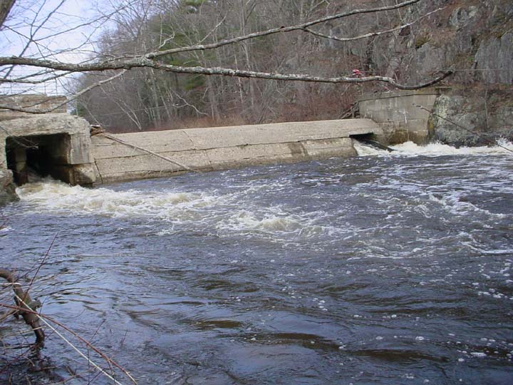
This is a photo of the Head Tide Dam on the Sheepscot River taken in April 2004. The dam is located in the Town of Alna at the Head of Tide. Picture taken by M. Halsted.
This is a photo of the Cooper's Mill Dam on main stem of the Sheepscot River taken in May 2002. This photo is taken looking upstream from the bridge in Cooper's Mills Village. Picture taken by M. Halsted.
This is a photo of the dam at the outlet of Dyer Long Pond taken in April 2004. Note the fish ladder to the right of the picture. The dam structure is out of site below the bridge. Picture taken by M. Halsted.
This is a photo of an old rock structure on the West Branch of the Sheepscot River in China taken in August 2002. This photo was taken just below the Iron Bridge crossing. Picture taken by M. Halsted.
This is a photo of the Dinsmore Mill building over the West Branch of the Sheepscot River taken in April 2002. The mill is located in Branch Mills Village. The river flows under the building. Picture taken by M. Halsted.
 Click on image to enlarge (106K).
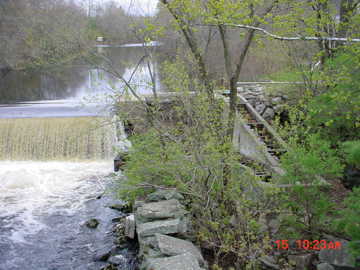 Click on image to enlarge (492K).
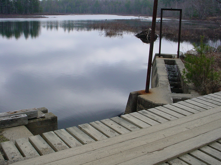 Click on image to enlarge (352K).
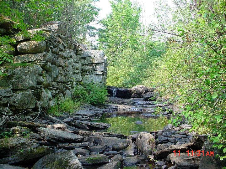 Click on image to enlarge (563K).
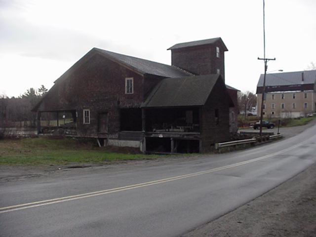 Click on image to enlarge (31K).
To learn more about this topic click Info Links
To view additional information (data source, aquisition date etc.) about this page, click Metadata
| www.krisweb.com |