
| Area | Dyer River |
| Topic | Habitat: Woody Debris in Dyer River Sub-basin 1997-1999 |
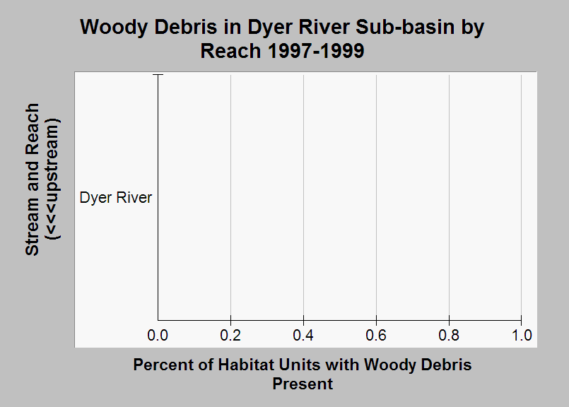
| Caption: This chart shows the percentage of habitat units in each reach where surveyors noted the presence of woody debris. Surveys were conducted in the Dyer River sub-basin during 1997-1999 by the Maine Atlantic Salmon Commission and U.S. Fish and Wildlife Service. No woody debris was noted in the surveyed reach of Dyer River. Habitat units where surveyors did not note whether or not woody debris was present were excluded from this calculation. Only one reach was surveyed in the Dyer River sub-basin, but the data in this chart was included so it could be compared with charts of similar data from other sub-basins. See Info Links for more information. | |
 |
To learn more about this topic click Info Links .
To view additional information (data source, aquisition date etc.) about this page, click Metadata .
To view the table with the chart's data, click Chart Table web page.
To download the table with the chart's data, click sheep_hab_dr_usfws_1997_1999_chart.db (size 18,432 bytes)
To download the table with the chart's data as an Excel spreadsheet, click sheep_hab_dr_usfws_1997_1999_chart.db.xls (size 5,120 bytes) .
| www.krisweb.com |