
| Area | Dyer River |
| Topic | Tour: Dyer River |
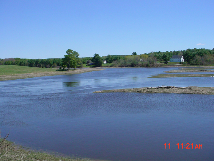
This is a photo looking upstream at the Dyer River from the junction with the Sheepscot River in Sheepscot Village taken in 2002. Picture taken by M. Halsted.
This is a photo of the Dyer River taken from Route 194 in Whitefield looking downstream at the river. The photo was taken in April 2002. Picture taken by M. Halsted.
This is a photo looking upstream from the Route 215 bridge in Jefferson in April 2004. Picture taken by M. Halsted.
This is a photo looking downstream from the outlet of Dyer Long Pond. Picture taken by M. Halsted.
This is a photo of the fish ladder at the Dyer Lond Pond Dam. Photo taken by M. Halsted.
This is a photo taken at the boat landing on Dyer Long Pond looking down towards the outlet. Photo by M. Halsted.
This is a photo of the boat landing on Dyer Long Pond. Photo by M. Halsted.
 Click on image to enlarge (332K).
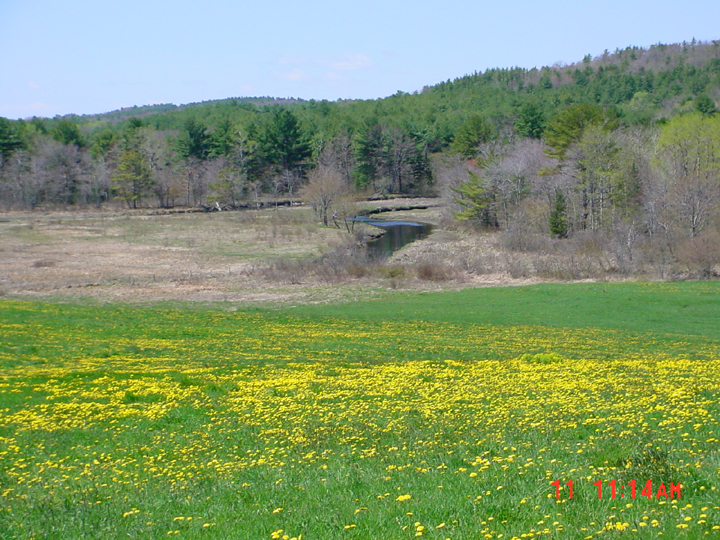 Click on image to enlarge (479K).
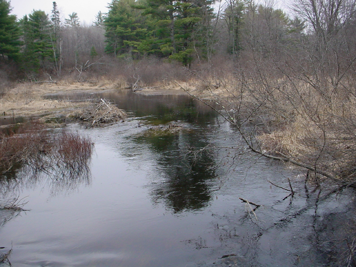 Click on image to enlarge (422K).
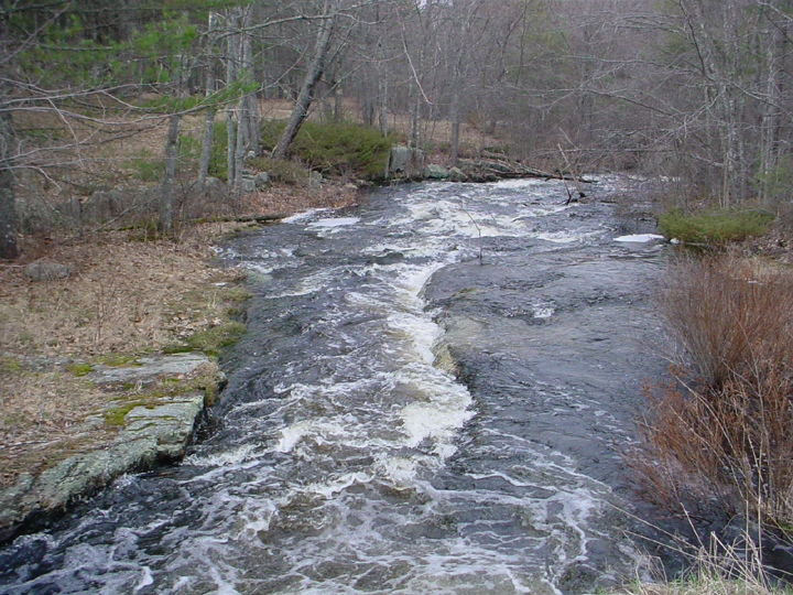 Click on image to enlarge (476K).
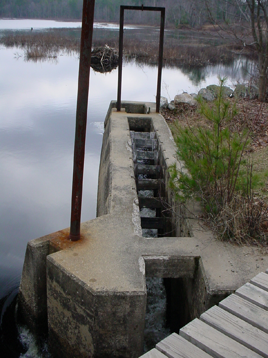 Click on image to enlarge (385K).
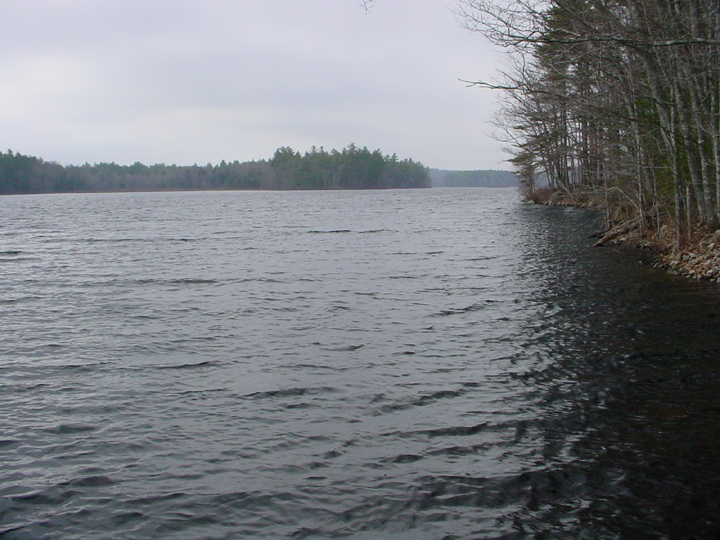 Click on image to enlarge (371K).
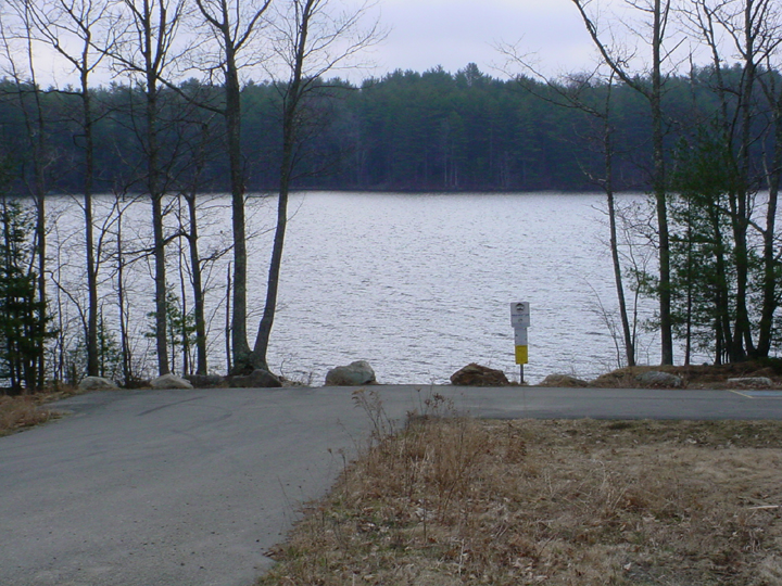 Click on image to enlarge (439K).
To learn more about this topic click Info Links
To view additional information (data source, aquisition date etc.) about this page, click Metadata
| www.krisweb.com |