| Area |
Mainstem Sheepscot |
| Topic |
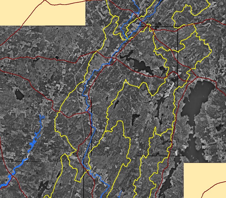
Map: 1E. Digital Orthophotos (DOQs), Mainstem Sheepscot Sub-basin |
To view a more detailed version of this map click
here
|
This is a map showing 1997 digital orthophoto quarter-quadrangles (DOQs) in the Mainstem Sheepscot sub-basin and surrounding areas, displayed with
sub-basin outlines and major roads. DOQs were provided by the U.S. Geological Survey and Maine Office of GIS.
|
|
|
 |
 |
To view metadata about a map layer, click on a link in the table below.
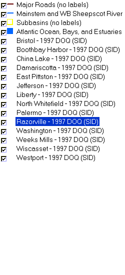
| Name of Layer in Map Legend | Metadata File Name |
|---|
| Major Roads (no labels) | sheeprds_major.shp.txt |
| Mainstem and WB Sheepscot River | shpscotriv24.shp.txt |
| Subbasins (no labels) | subbasins.shp.txt |
| Atlantic Ocean, Bays, and Estuaries | Unavailable |
| Bristol - 1997 DOQ (SID) | Unavailable |
| Boothbay Harbor - 1997 DOQ (SID) | Unavailable |
| China Lake - 1997 DOQ (SID) | Unavailable |
| Damariscotta - 1997 DOQ (SID) | Unavailable |
| East Pittston - 1997 DOQ (SID) | Unavailable |
| Jefferson - 1997 DOQ (SID) | Unavailable |
| Liberty - 1997 DOQ (SID) | Unavailable |
| North Whitefield - 1997 DOQ (SID) | Unavailable |
| Palermo - 1997 DOQ (SID) | Unavailable |
| Razorville - 1997 DOQ (SID) | Unavailable |
| Washington - 1997 DOQ (SID) | Unavailable |
| Weeks Mills - 1997 DOQ (SID) | Unavailable |
| Wiscasset - 1997 DOQ (SID) | Unavailable |
| Westport - 1997 DOQ (SID) | Unavailable |
If you obtain KRIS on a CD and install it on your hard drive as a desktop program, you will have access to increased map capabilities such as zooming in/out, turning layers on/off, adding layers and changing legends.
