
| Area | Mainstem Sheepscot |
| Topic | Tour: Mainstem Sheepscot River |
This is a photo taken from the top of the Head Tide Dam looking upstream at the Sheepscot River taken in April 2002. The dam is located in the Town of Alna at the Head of Tide. Picture taken by M. Halsted.
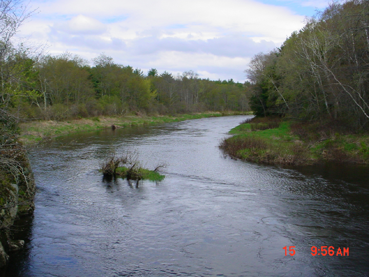
This is a photo of the Sheepscot River taken from Route 194 in Whitefield looking downstream at the Sheepscot River. The photo was taken in in April 2002. Picture taken by M. Halsted.
This is a photo taken during the high flows in April 2002 at the old dam site in Kings Mills. Picture taken by M. Halsted.
This is a photo taken from the Route 126 bridge looking downstream at the Sheepscot River. Picture taken by M. Halsted.
This is a photo of junction of Finn Brook with the Sheepscot River, looking upstream from the Route 126 bridge. Note the color difference between the tributary and the river. Photo taken by M. Halsted.
This is a photo of the junction of the West Branch, on the right, and the main stem, far left, in February 2003. Photo by M. Halsted.
 Click on image to enlarge (390K).
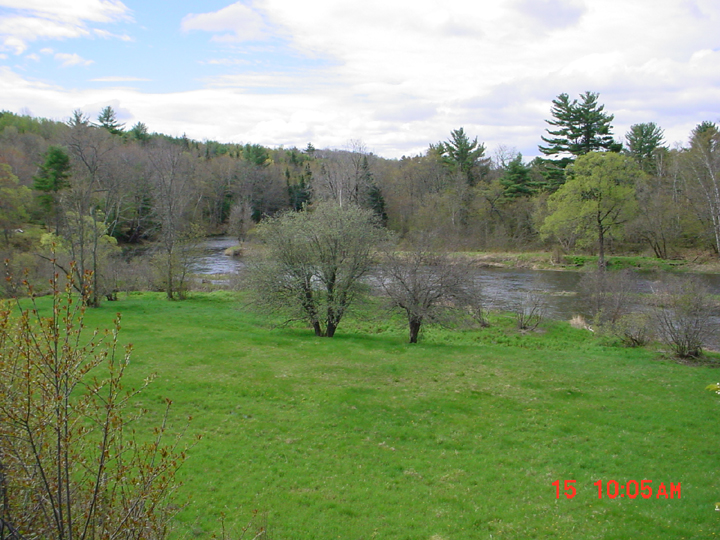 Click on image to enlarge (394K).
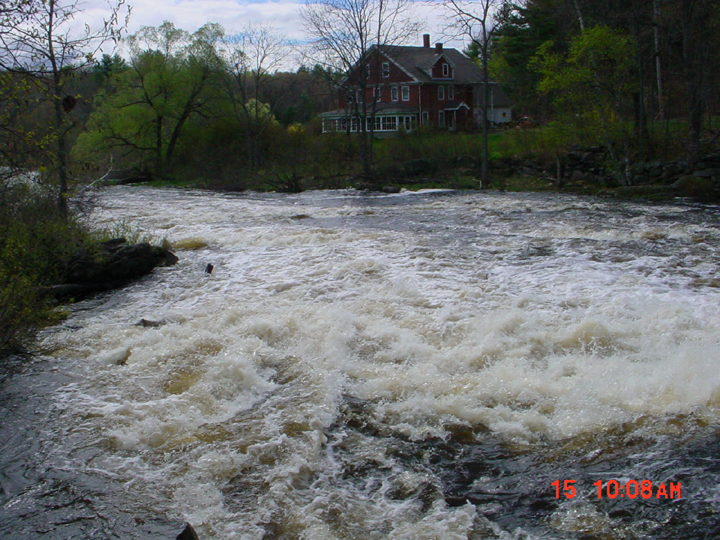 Click on image to enlarge (444K).
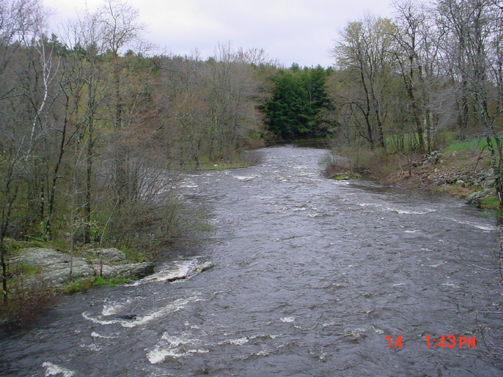 Click on image to enlarge (445K).
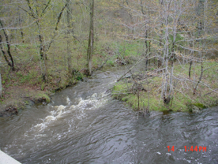 Click on image to enlarge (497K).
 Click on image to enlarge (347K).
To learn more about this topic click Info Links
To view additional information (data source, aquisition date etc.) about this page, click Metadata
| www.krisweb.com |