
| Area | Upper Sheepscot |
| Topic | Tour: Upper Sheepscot |
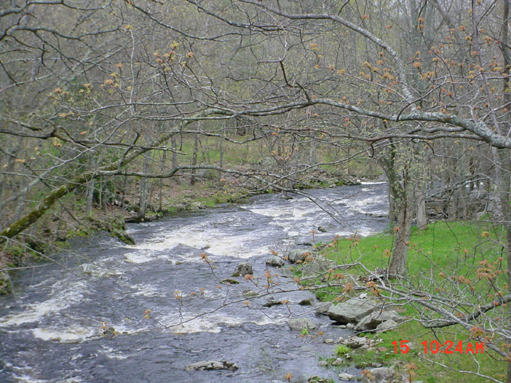
This is a photo taken from the bridge in Cooper's Mills looking downstream at the Sheepscot River taken in April 2002. Picture taken by M. Halsted.
This is a photo of the Cooper's Mill Dam on main stem of the Sheepscot River taken in May 2002. This photo is taken looking upstream from the bridge in Cooper's Mills Village. Picture taken by M. Halsted.
This is a photo taken from the boat landing on Long Pond looking upstream. Picture taken by M. Halsted.
This is a photo taken from the Somerville Road bridge looking downstream at the Sheepscot River. Picture taken by M. Halsted.
This is a photo taken from the Gore Road bridge looking downstream at the Sheepscot River in Palermo. Photo taken by M. Halsted.
This is a photo of the Palermo Rearing Station taken from the Gore Road Bridge. Photo by M. Halsted.
This is a photo of Sheepscot Pond taken from the boat landing on Route 3. Photo taken by M. Halsted.
This is a photo taken from the Hostile Valley Road bridge looking upstream at the Sheepscot River. Picture taken by M. Halsted.
 Click on image to enlarge (498K).
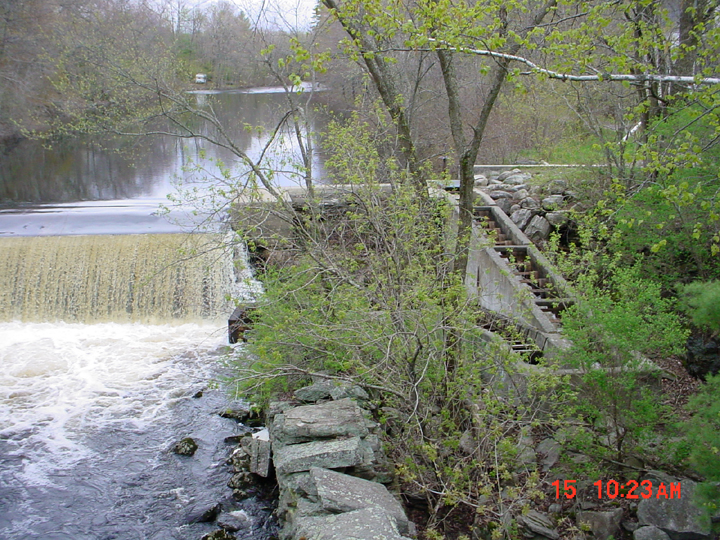 Click on image to enlarge (503K).
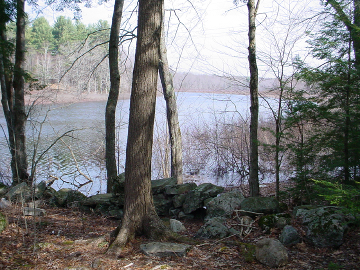 Click on image to enlarge (501K).
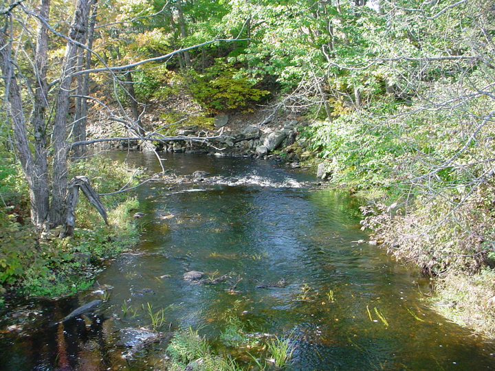 Click on image to enlarge (554K).
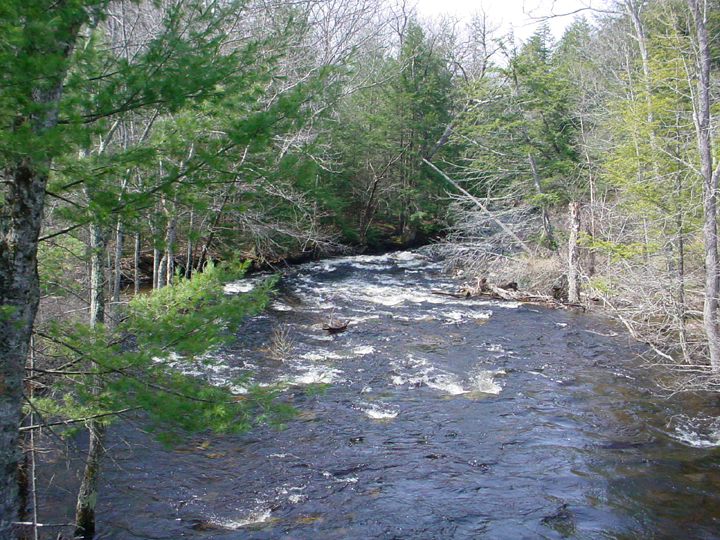 Click on image to enlarge (516K).
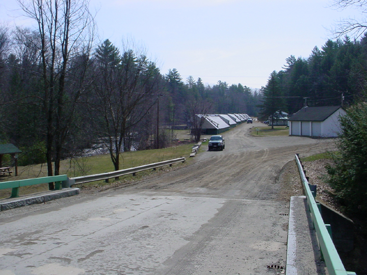 Click on image to enlarge (382K).
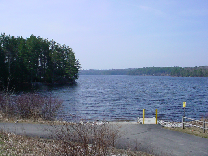 Click on image to enlarge (364K).
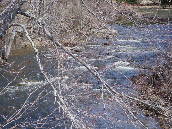 Click on image to enlarge (553K).
To learn more about this topic click Info Links
To view additional information (data source, aquisition date etc.) about this page, click Metadata
| www.krisweb.com |