To view metadata about a map layer, click on a link in the table below.
| Name of Layer in Map Legend | Metadata File Name |
|---|
| Major Roads (no labels) | sheeprds_major.shp.txt |
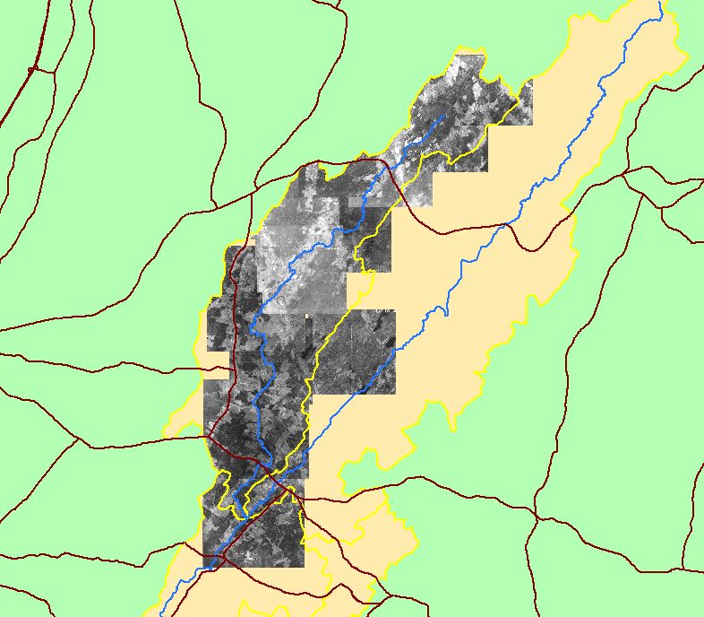
| Mainstem and WB Sheepscot River | shpscotriv24.shp.txt |
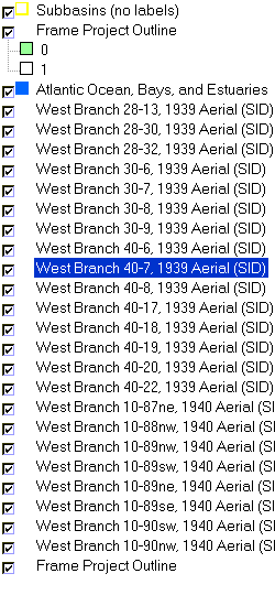
| Subbasins (no labels) | subbasins.shp.txt |
| Frame Project Outline | Unavailable |
| Atlantic Ocean, Bays, and Estuaries | Unavailable |
| West Branch 28-13, 1939 Aerial (SID) | 1939_28-13.sid.txt |
| West Branch 28-30, 1939 Aerial (SID) | 1939_28-30.sid.txt |
| West Branch 28-32, 1939 Aerial (SID) | 1939_28-32.sid.txt |
| West Branch 30-6, 1939 Aerial (SID) | 1939_30-6.sid.txt |
| West Branch 30-7, 1939 Aerial (SID) | 1939_30-7.sid.txt |
| West Branch 30-8, 1939 Aerial (SID) | 1939_30-8.sid.txt |
| West Branch 30-9, 1939 Aerial (SID) | 1939_30-9.sid.txt |
| West Branch 40-6, 1939 Aerial (SID) | 1939_40-6.sid.txt |
| West Branch 40-7, 1939 Aerial (SID) | 1939_40-7.sid.txt |
| West Branch 40-8, 1939 Aerial (SID) | 1939_40-8.sid.txt |
| West Branch 40-17, 1939 Aerial (SID) | 1939_40-17.sid.txt |
| West Branch 40-18, 1939 Aerial (SID) | 1939_40-18.sid.txt |
| West Branch 40-19, 1939 Aerial (SID) | 1939_40-19.sid.txt |
| West Branch 40-20, 1939 Aerial (SID) | 1939_40-20.sid.txt |
| West Branch 40-22, 1939 Aerial (SID) | 1939_40-22.sid.txt |
| West Branch 10-87ne, 1940 Aerial (SID) | 1940-10-87ne.sid.txt |
| West Branch 10-88nw, 1940 Aerial (SID) | 1940-10-88nw.sid.txt |
| West Branch 10-89nw, 1940 Aerial (SID) | 1940-10-89nw.sid.txt |
| West Branch 10-89sw, 1940 Aerial (SID) | 1940-10-89sw.sid.txt |
| West Branch 10-89ne, 1940 Aerial (SID) | 1940_10-89ne.sid.txt |
| West Branch 10-89se, 1940 Aerial (SID) | 1940_10-89se.sid.txt |
| West Branch 10-90sw, 1940 Aerial (SID) | 1940-10-90sw.sid.txt |
| West Branch 10-90nw, 1940 Aerial (SID) | 1940_10-90nw.sid.txt |
| Frame Project Outline | Unavailable |
If you obtain KRIS on a CD and install it on your hard drive as a desktop program, you will have access to increased map capabilities such as zooming in/out, turning layers on/off, adding layers and changing legends.