
| Area | West Branch Sheepscot |
| Topic | Tour: Winter sand removal techniques in the West Branch |
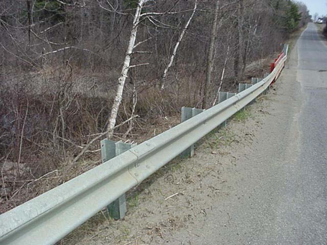
There are 742 miles of roads in the Sheepscot River watershed which has an area of about 350 square miles. Public roads are maintained by the Maine Department of Transportation or the municipalities, and private roads are maintained by the individuals or road associations and they all use sand to improve traction in the winter months. This bridge is located on the Choate Road in Windsor. This photo illustrates the build up of winter sand along the guard rails which is a common issue with bridges in the watershed. Photo by M. Halsted April 2001.
This photo shows the Rte 17 Bridge over the West Branch. The sand berm in this case is located just behind the guard rail. Photo by M. Halsted October 2000.
The MDOT removed the sand berm and used a mat to reduce erosion from the site. Photo by M. Halsted October 2002.
This is a photo of the Howe Road from the bridge during a spring melt event. The amount of sand is apparent on the snow banks. Photo by M. Halsted March 2002.
This photo is looking through the steel grate deck of the Howe Road Bridge. The sand is visible on the snow and ice under the bridge. The exact amount of sediment that enters into the river through these roads is unknown but is a source of sediment to the river. The loading of winter sand may alter the sediment budget for the river, which affects the channel morphology. Photo by M. Halsted March 2002.
MDOT installed a settling basin on the Weeks Mills Road in China to capture winter sand. They also installed a paved shoulder and curb to reduce shoulder erosion. Photo by M. Halsted October 2002.
This is a photo of the same settling basin during a rain event. The Town of China cleans out the basins annually. Photo by M. Halsted May 2003.
Another type of settling basin often used is the rock basin shown in this photo on the Deer Hill Road. Photo by M. Halsted September 2002.
 Click on image to enlarge (70K).
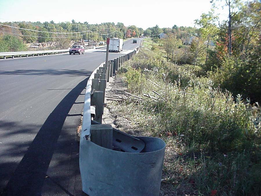 Click on image to enlarge (133K).
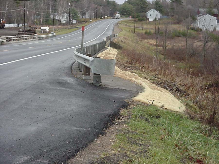 Click on image to enlarge (111K).
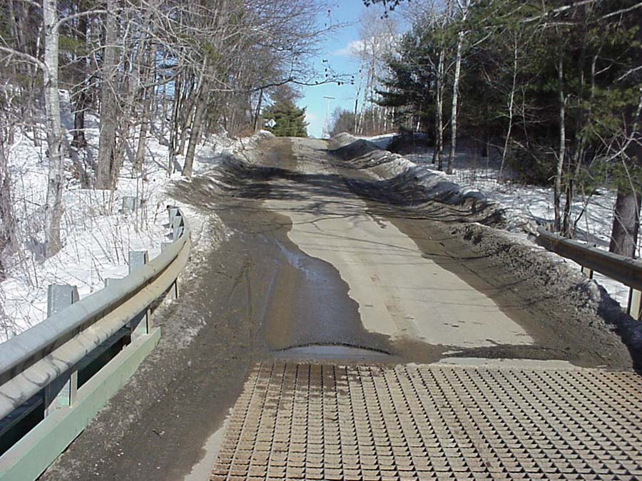 Click on image to enlarge (156K).
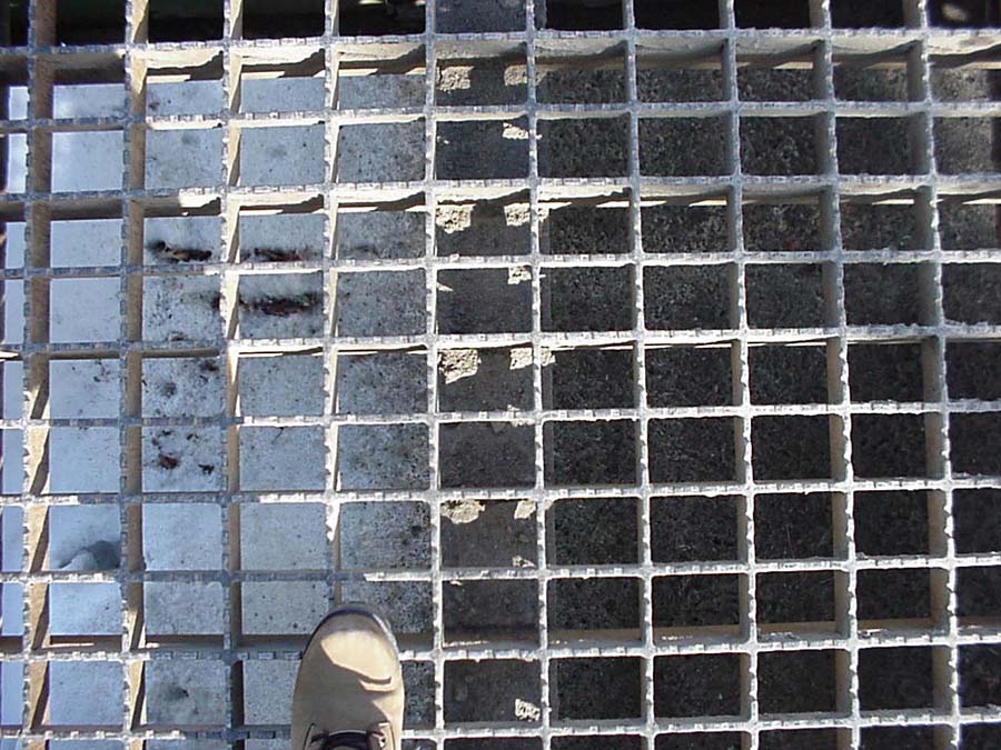 Click on image to enlarge (143K).
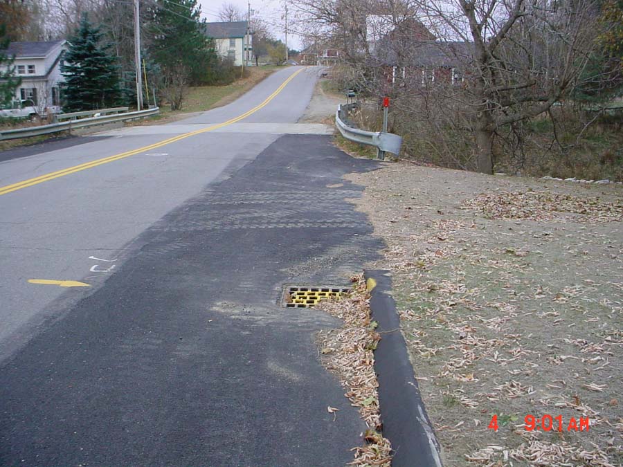 Click on image to enlarge (139K).
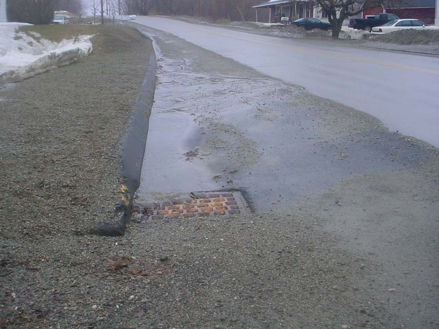 Click on image to enlarge (109K).
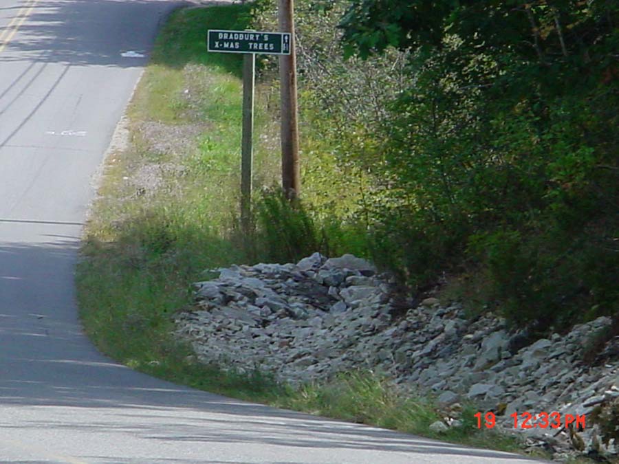 Click on image to enlarge (106K).
To learn more about this topic click Info Links
To view additional information (data source, aquisition date etc.) about this page, click Metadata
| www.krisweb.com |