
| Area | West Branch Sheepscot |
| Topic | Tour: Weeks Mills Area Historical Topographic Map Series |
1893 topographic map of the Weeks Mills area of the Sheepscot River. From the Vassalboro SE quads downloaded from http://docs.unh.edu/nhtopos/nhtopos.htm.
1943 topographic map of the Weeks Mills area of the Sheepscot River. From the Vassalboro SE quads downloaded from http://docs.unh.edu/nhtopos/nhtopos.htm.
1956 topographic map of the Weeks Mills area of the Sheepscot River. From the Vassalboro SE quads downloaded from http://docs.unh.edu/nhtopos/nhtopos.htm.
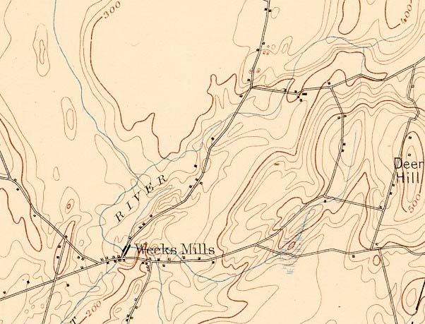 Click on image to enlarge (85K).
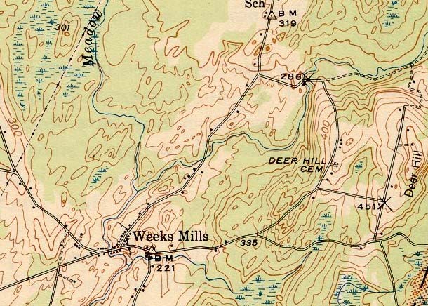 Click on image to enlarge (119K).
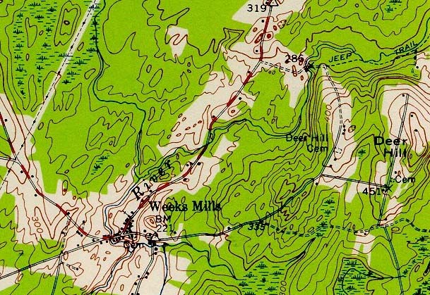 Click on image to enlarge (139K).
To learn more about this topic click Info Links
To view additional information (data source, aquisition date etc.) about this page, click Metadata
| www.krisweb.com |