
| Area | West Branch Sheepscot |
| Topic | Tour: 1950 Photos of Sprouls Mills (Maxcys Mills) |
View of Sprouls Mill from stream below, showing former tailrace outlets. Apparently mill has always been a barrier to fish passage.
West Branch, Sheepscot River, June 29, 1950. View along downstream face of Sprouls Mill Dam, showing leakage in several spots.
West Branch Sheepscot River, June 29, 1950. Sprouls Mill and dam. Gristmill was added to former sawmill built 150 years ago, but later changed to a shingle mill. Mill burned 100 years ago but was rebuilt and operated until 1940. Pond would fill overnight and would run mill daytimes all summer.
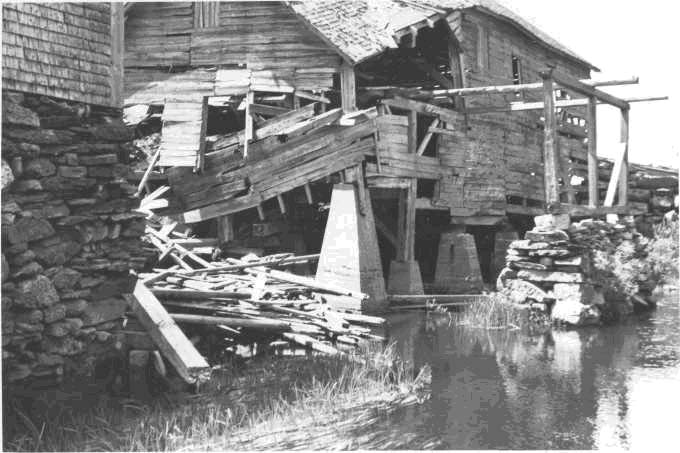
West Branch, Sheepscot River June 29, 1950. Sprouls Mill and dam, at approximately 5.5 miles above the mouth. Weak spots and damage to the dam can be seen in this view looking across top of dam towards mill from the left bank.
West Branch Sheepscot River, June 29, 1950. Sprouls Mill and dam at 5.5 miles above the mouth at settlement known as Maxcys Mills. Mill built over l50 years ago. Will not be operated again. Dam is 8.5 to 9 ft. high and impassable. When dam goes out it will drain most of the shallow 2 mile long pond above it. Ice works on the dam each year.
Sketch of Sprouls Mill by surveyor.
 Click on image to enlarge (68K).
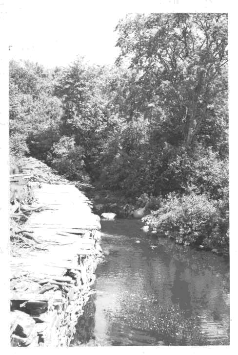 Click on image to enlarge (75K).
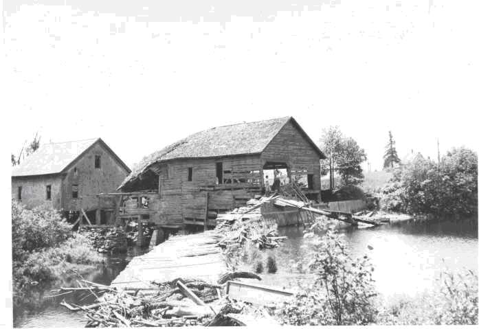 Click on image to enlarge (54K).
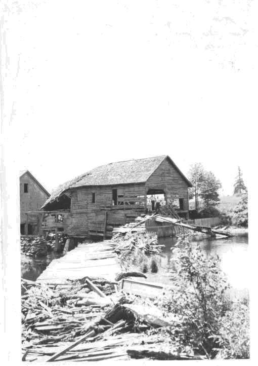 Click on image to enlarge (55K).
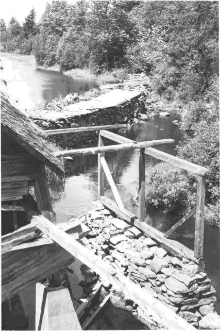 Click on image to enlarge (77K).
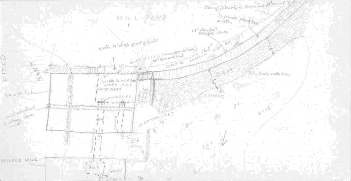 Click on image to enlarge (55K).
To learn more about this topic click Info Links
To view additional information (data source, aquisition date etc.) about this page, click Metadata
| www.krisweb.com |