
| Area | West Branch Sheepscot |
| Topic | Tour: 2003 Survey of Road Crossings in the West Branch |
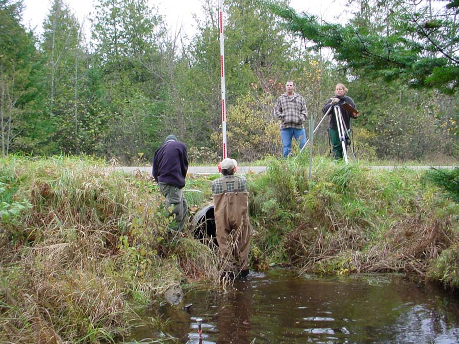
In the fall of 2003, the Kennebec County Soil and Water Conservation District began a survey of the perennial road crossings in the West Branch to determine where fish passage blockages, non-point source pollution, and channel alterations were occurring. Four students from Unity College, Megan Weber, Matt Soucy, Marc Vergato, and Dax Telepciak, volunteered to survey the road crossings above Branch Pond. Here they are getting the culvert outlet height on the Martins Woods Road. Photo by M. Halsted October 2003.
The students measure the width of the pool at the outlet of this culvert on the North Palermo Road. Photo by D. Telepciak October 2003.
The students measure the amount of fill over this culvert on the Martins Woods Road. Photo by D. Telepciak October 2003.
The KCSWCD also enlisted the help of the USFWS with the survey. Here they measure the width of the channel above the Howe Road Bridge. Photo by M. Halsted September 2003.
Jed Wright and Chad Baker of the USFWS measure the gradient from the upstream site to the bridge. Photo by M. Halsted September 2003.
 Click on image to enlarge (182K).
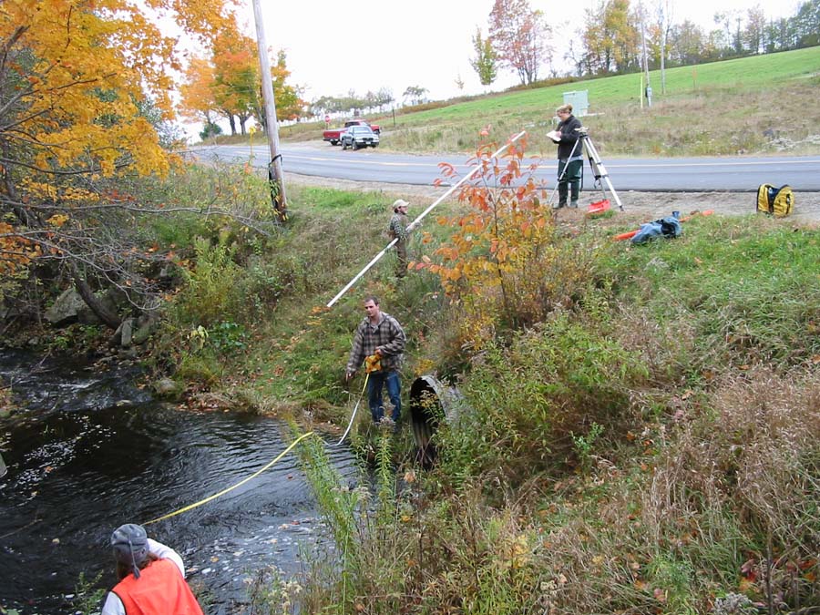 Click on image to enlarge (188K).
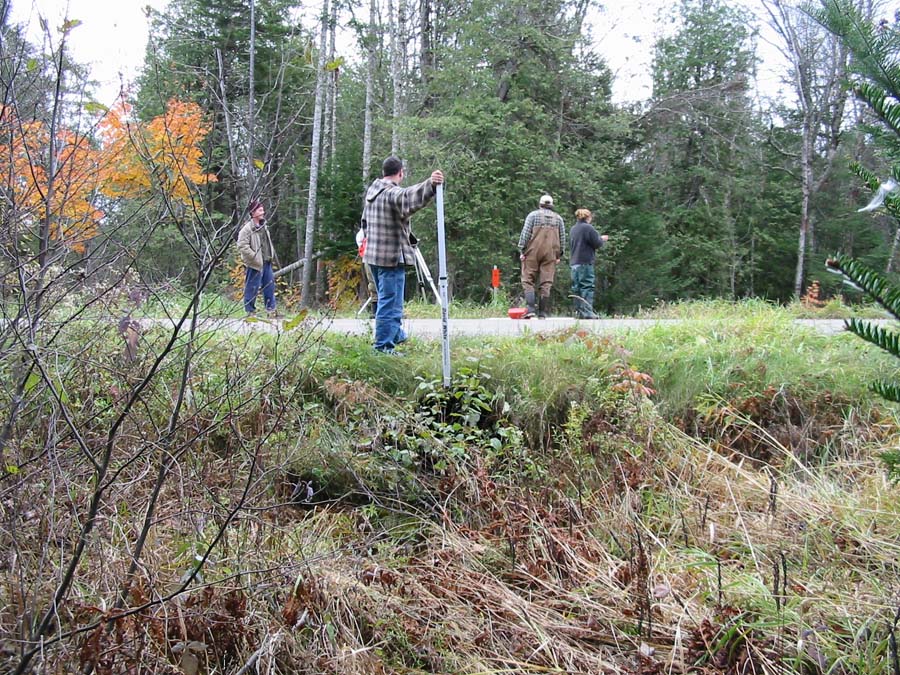 Click on image to enlarge (232K).
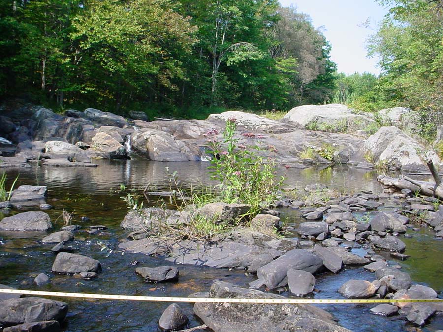 Click on image to enlarge (180K).
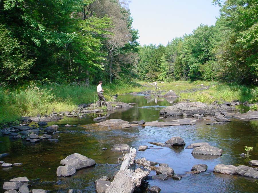 Click on image to enlarge (164K).
To learn more about this topic click Info Links
To view additional information (data source, aquisition date etc.) about this page, click Metadata
| www.krisweb.com |