|

|
| Background | Hypotheses | Bibliography | Maps | Home |
|
|
|
| Background | Hypotheses | Bibliography | Maps | Home |
Timber Harvest in KRIS Ten Mile
KRIS Web Background Pages: Vegetation Types
![]()
Timber harvest in the Ten Mile River basin dates back to the 1870's but the nature, location and extent of impacts are difficult to discern. The KRIS team found some very useful photographs related to the logging at the Held-Poage Research Library in Ukiah which, along with the Mendocino Historical Society, allowed their use in the KRIS Ten Mile project. Matthews (2000) also describes the 130 year logging history of the Ten Mile River basin.
Photos from the Held-Poage Research Library of Logging
|
|
|
|
|
|
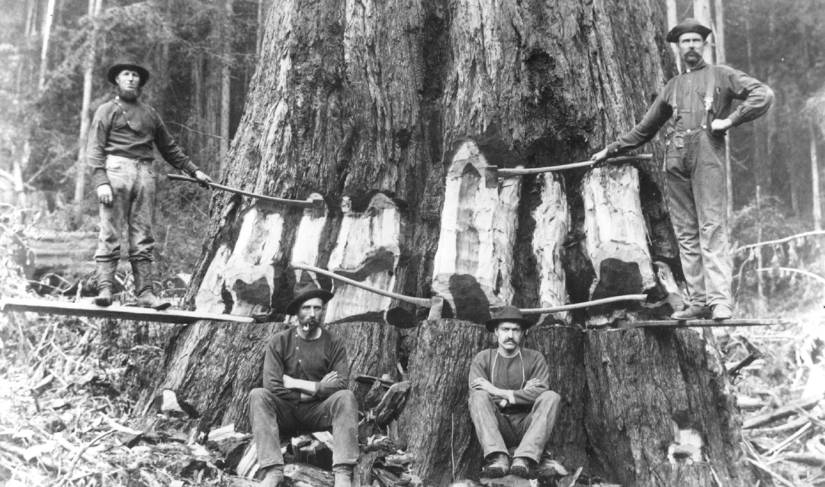
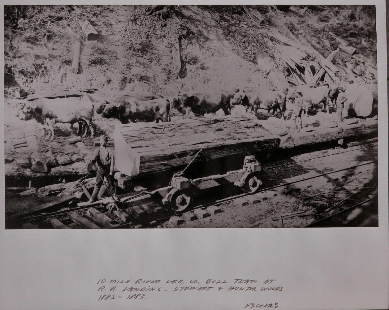
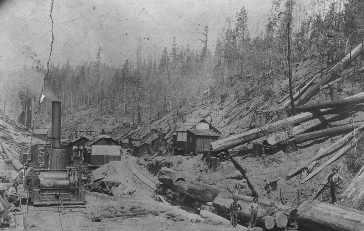
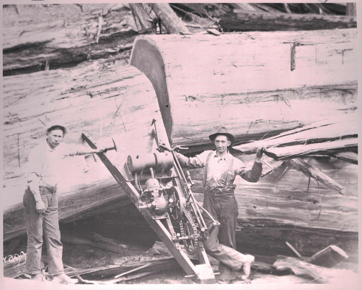
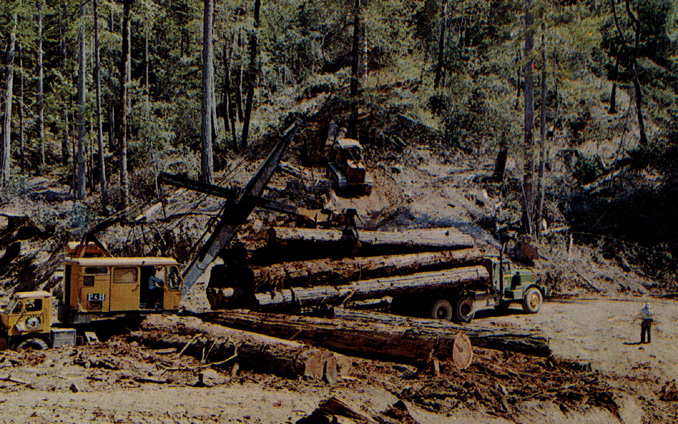
| Single-bladed axes, circa 1870. | Oxen logging in the Ten Mile woods, 1872-73. | Steam donkeys and railroads, circa 1890. | Power saws, circa 1930's. | Logging trucks and caterpillars, post WW II. |
More recent (post 1933) information on logging in KRIS Ten Mile comes from two sources: the California Department of Forestry (CDF) Santa Rosa office and Matthews (2000). The CDF data come as electronic map coverages in ArcView with recent timber harvests, as they were approved, dating back to 1986. The database associated with the maps also includes the timber harvest permit (THP) number and information about acres harvested, silvicultural method, yarding method and land owner. The coverages from CDF were incorporated into the KRIS Ten Mile Map project both by year and by logging method (see MAPS: Timber Harvest Plans View).
For timber harvests prior to 1986, the KRIS Ten Mile project benefited greatly from work done by Matthews (2000), who reviewed aerial photos dating back to 1942 and then used them to map timber harvests. Matthews was able to bracket the period of timber harvest even for periods that were not well documented. He estimated that timber harvests visible in 1942 photos represented activities dating back through 1933. Analyzing aerial photos from 1942, 1952, 1965, 1978 and 1988, he placed subsequent timber harvests in sequence. Matthews Associates (2000) state: "Prior to 1988, the history was developed primarily from interpretation of aerial photography. From 1988 to present, road and harvest history was obtained from CDF GIS coverages which had been developed by directly inputting information provided as part of submitted Timber Harvest Plans (THPs)." Images of the GIS timber harvest coverage from Matthews (2000), as captured in the KRIS Ten Mile Map project, can be seen in MAPS: Timber Harvest Plans View. Many useful maps are also directly available in the appendices of Matthews (2000B).
Charts from KRIS Ten Mile Database Summarizing Timber Harvest
|
This chart shows the percentage of area logged, by period, for all the large Ten Mile River Planning Watersheds, according to estimates by Matthews (2000). Estimates were made mostly from aerial photos. The years shown cover the period back to the previous photo year. The 1942 aerial photos estimate harvest back to 1933. According to this analysis, the South Fork watershed has the highest percentage of area logged: 87% prior to 1942 and 76% between 1988 and 1999. |
|
Matthews (2000) also provides summary data of timber harvest in acres by period for each Ten Mile River sub basin. The pattern of timber harvest shows that some North Fork and Middle Fork (also called Clark Fork) basins were intensively harvested during 1950's to the 1970's and that logging in recent periods has diminished. |
|
The chart at left shows the acres of timber harvest by period for each South Fork Ten Mile River sub basin. The data, from Matthews (2000), show that the most intensive periods of logging in this sub basin occurred prior to 1942 and again between 1988 and 1999. |
![]()
References
Matthews, Graham and Associates. 2000a. Sediment source analysis and preliminary sediment budget for the Ten Mile River, Mendocino County, CA. Prepared for Tetra Tech, Inc. VOLUME 1: Text, Tables, and Figures. Fairfax, VA. 143 pp.
Matthews, Graham and Associates. 2000b. Sediment source analysis and preliminary sediment budget for the Ten Mile River, Mendocino County, CA. Prepared for Tetra Tech, Inc. VOLUME 2: Appendices. Fairfax, VA. 59 pp.
![]()
| www.krisweb.com |