
| Area | Basin-wide |
| Topic | Habitat: Residual Pool Depth for Anadromous and Resident Reaches |
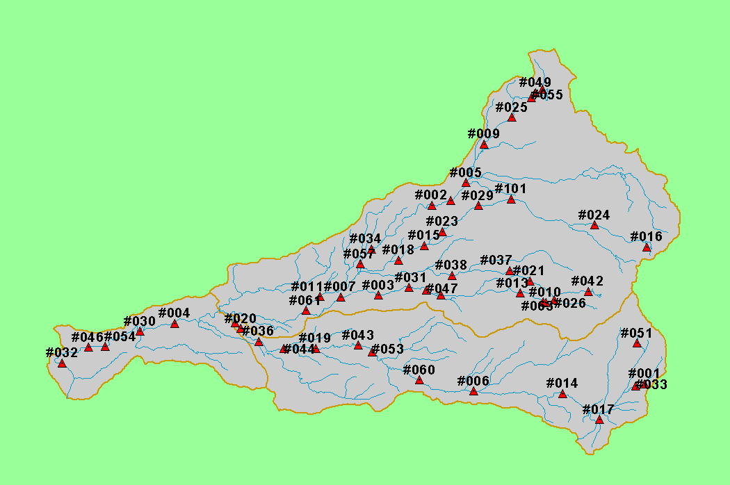
| This map shows the locations sampled as part of the Battle Creek Watershed Assessment (Terraqua, 2004). Site are overlayed on top of USGS 100,000 scale streams and KRIS sub-basins. Scale = 1:299,103 . | |||
 |
 |
||
To view metadata about a map layer, click on a link in the table below.
| Name of Layer in Map Legend | Metadata File Name |
|---|---|
| Watershed Analysis Sample Sites (labels) | samplesites.shp.txt |
| Watershed Analysis Sample Sites | samplesites.shp.txt |
| Streams (1:100k scale)(no labels) | stms100.shp.txt |
| Streams (1:100k scale)(no labels) | stms100.shp.txt |
| Sub-basins (no labels) | subbasins.shp.txt |
| Project Area | battl_outl.shp.txt |
| www.krisweb.com |