
| Area | Basin-wide |
| Topic | Sediment: Road Crossings/Stream Mile all Battle WA Sub-Basins |
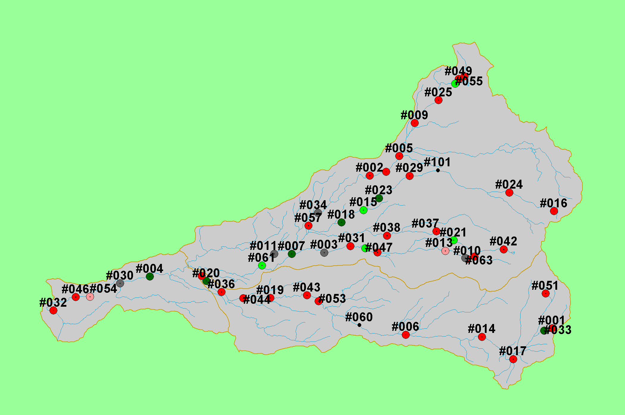
| This map shows roads, streams, and road-stream crossings in the Battle Creek basin, displayed with 1:100,000 scale streams, KRIS sub-basins, and the locations sampled as part of the Battle Creek Watershed Assessment (Terraqua, 2004). Data were provided by the U.S. Geological Survey, Sierra Pacific Industries and Lassen National Forest. | |||
 |
 |
||
To view metadata about a map layer, click on a link in the table below.
| Name of Layer in Map Legend | Metadata File Name |
|---|---|
| Watershed Analysis Sample Sites (labels) | samplesites.shp.txt |
| Watershed Analysis Sample Sites | samplesites.shp.txt |
| Streams (1:100k scale)(no labels) | stms100.shp.txt |
| Road-Stream Crossings | Unavailable |
| Roads (1:24k scale) [SPI, Lassen NF] | bcroads.shp.txt |
| Project Area | battl_outl.shp.txt |
| www.krisweb.com |