| Area |
Basin-wide |
| Topic |
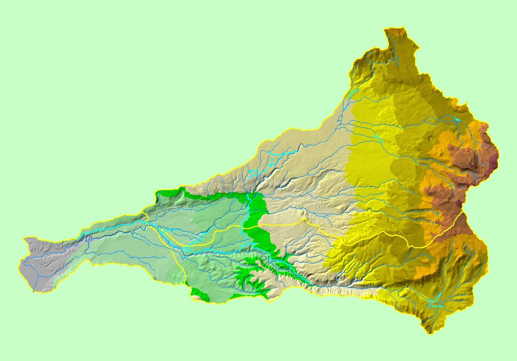
Map: 1D Hydrography and Elevation, Battle Creek Basin |
To view a more detailed version of this map click
here
|
This is a map of the 1:100,000 scale USGS hydrography (including canals) in the Battle Creek basin overlaid on top of an elevation hillshade and sub-basins. The
highest elevations in the project area are located in the headwaters of Battle Creek at Mount Lassen. Data were contributed by the U.S. Geologic Survey. Artificial
waterways (canals) were separated out by KRIS staff.
|
|
|
 |
 |
To view metadata about a map layer, click on a link in the table below.
