Area/Topic  |  Bibliography   |  Background   |  Hypotheses   |  Home


KRIS Battle Creek: Map Page

Area Basin-wide
Topic Map: 1E EMDS Battle WA Results
 To view a more detailed version of this map click here
 
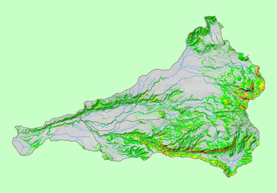
This map shows the locations sampled as part of the Battle Creek Watershed Assessment (Terraqua, 2004). Sites are color-coded by their EMDS "truth value" for median particle size (d50), surface fine sediment in pool tail crests, and various aquatic insect indices. Sites are overlaid on top of USGS 100,000 scale streams and KRIS sub-basins. Channel data collected according to U.S. Forest Service Aquatic Riparian Effectiveness Monitoring Protocols (AREMP) (Gallo, 2002). See Info Links for more information. Scale = 1:299,103 .

 To view metadata about a map layer, click on a link in the table below.
Name of Layer in Map LegendMetadata File Name
Watershed Analysis Sample Sites (labels) samplesites.shp.txt
Watershed Analysis Sample Sites samplesites.shp.txt
Streams (1:100k scale)(no labels) stms100.shp.txt
Sub-basins (no labels) subbasins.shp.txt
Project Area battl_outl.shp.txt


  www.krisweb.com