
| Area | North Fork Battle |
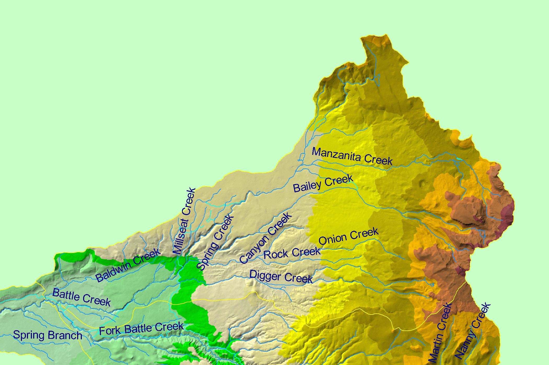
| Topic | Map: 1B Hydrography and Elevation, North Fork Battle Sub-basin |
| This is a map of the 1:100,000 scale USGS hydrography (including canals) in the North Fork Battle sub-basin overlaid on top of an elevation hillshade and sub-basins. The highest elevations in the project area are located in the headwaters of Battle Creek at Mount Lassen. Data were contributed by the California Department of Forestry. | |||
 |
 |
||
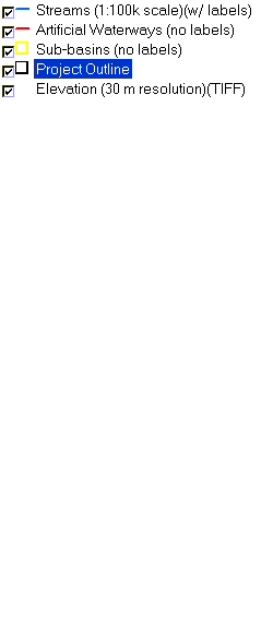
To view metadata about a map layer, click on a link in the table below.
| Name of Layer in Map Legend | Metadata File Name |
|---|---|
| Streams (1:100k scale)(w/ labels) | stms100.shp.txt |
| Artificial Waterways (no labels) | canals.shp.txt |
| Sub-basins (no labels) | subbasins.shp.txt |
| Project Outline | battl_outl.shp.txt |
| Elevation (30 m resolution)(TIFF) | elev30.tif.txt |
| www.krisweb.com |