
| Area | North Fork Battle |
| Topic | Tour: NF Powerhouses and Diversions #2 |
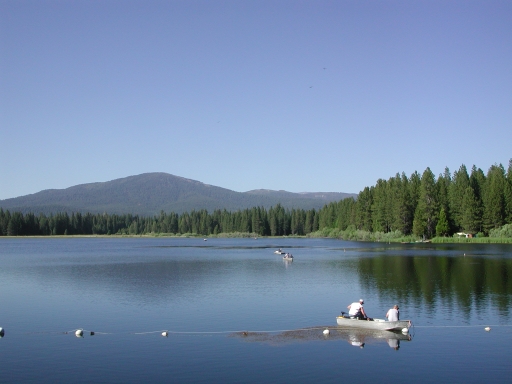
This photograph shows McCumber Reservoir on the North Fork Battle Creek with anglers plying the waters for wily brown trout and rainbows. Photo by Pat Higgins.
The North Fork Battle Creek is shown here where flows are released from McCumber Reservoir. Photo by Pat Higgins.
A young boater tries his skills in quite water in the NF Battle Creek at the outlet to McCumber Reservoir. Photo by Pat Higgins.
The North Fork Battle Creek in the tail water area just downstream of McCumber Reservoir in a picture taken of the bridge at the PGE camp ground. Photo by Pat Higgins.
Nora Lake stores water for PGE power on the slopes of the North Fork watershed just below Shingletown. The ponds are enjoyed by local anglers. Photo by Pat Higgins.
The Wildcat Canal is depicted above as it flows across the Battle Creek watershed from the North Fork to the Coleman Canal. Photo courtesy of Harry Rectenwald, CDFG.
This photo shows the Cross Country Canal which shunts water from the North Fork to the South Fork Battle Creek. Photo courtesy of Laurie Aumack, Battle Creek Conservancy coordinator.
 Click on image to enlarge (128K).
 Click on image to enlarge (194K).
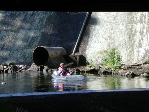 Click on image to enlarge (189K).
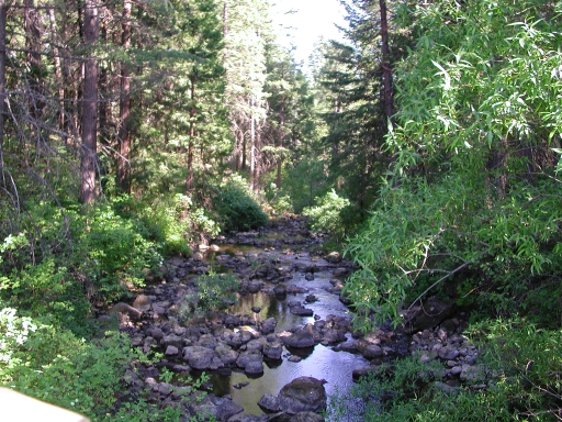 Click on image to enlarge (270K).
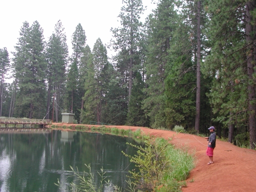 Click on image to enlarge (206K).
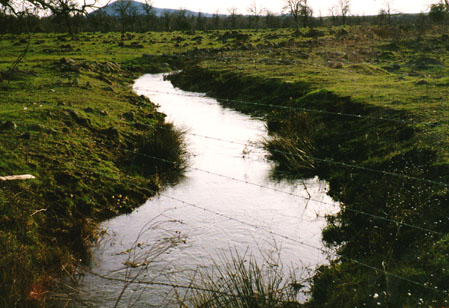 Click on image to enlarge (58K).
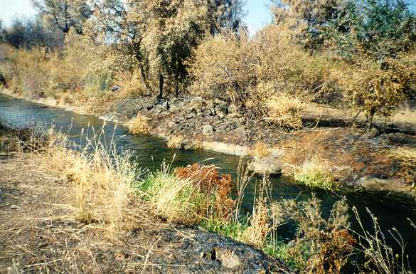 Click on image to enlarge (50K).
To learn more about this topic click Info Links
To view additional information (data source, aquisition date etc.) about this page, click Metadata
| www.krisweb.com |