Area/Topic  |  Bibliography   |  Background   |  Hypotheses   |  Home


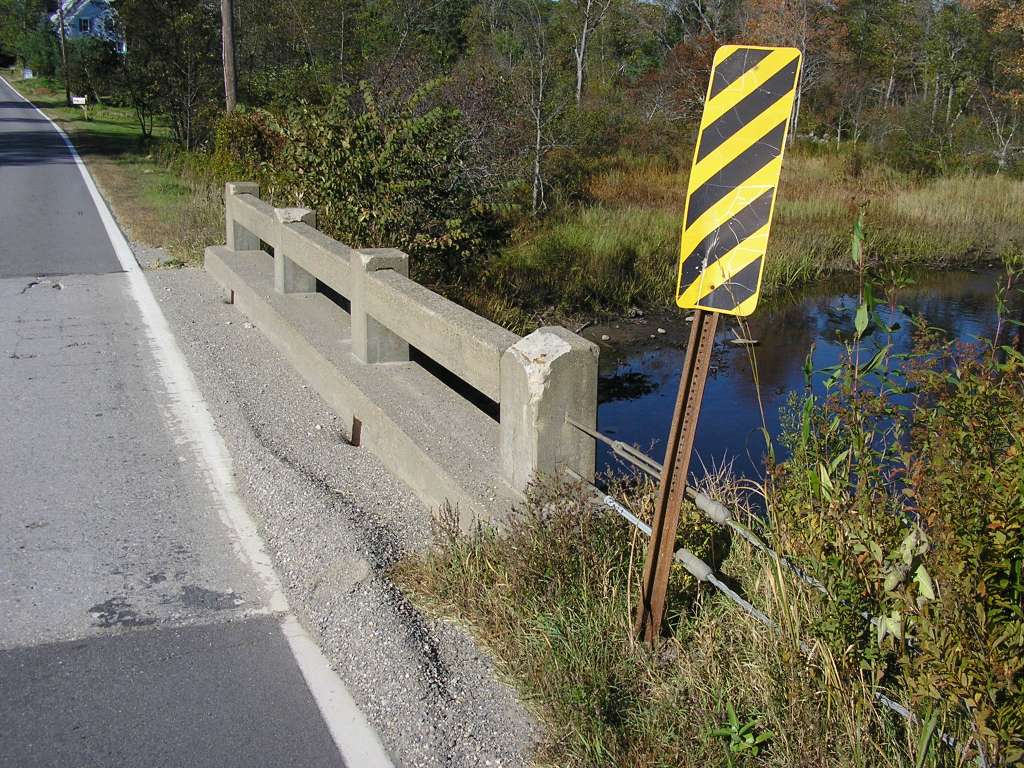
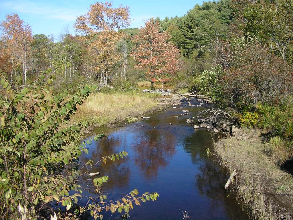
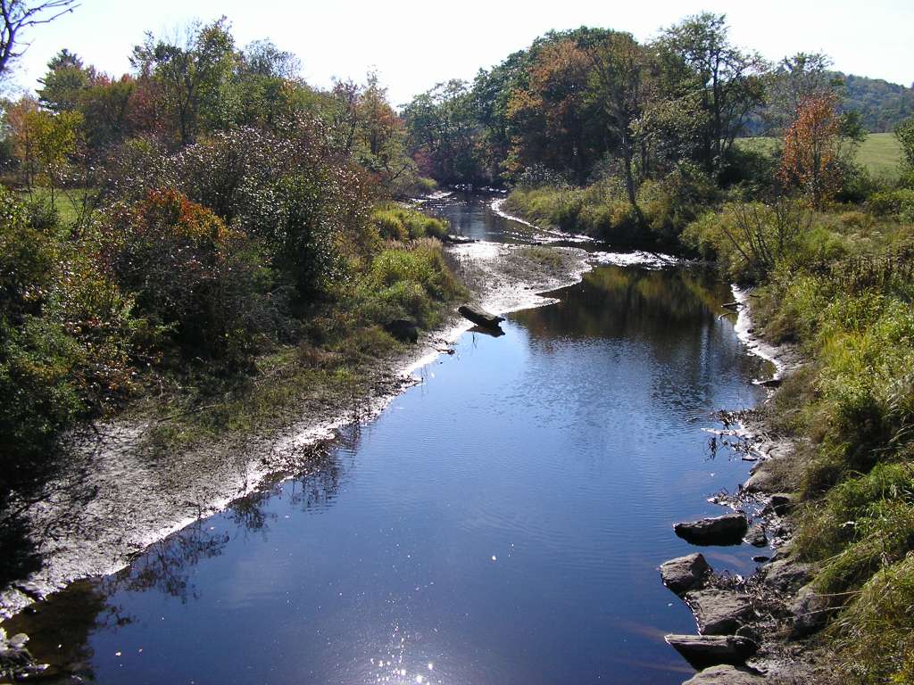
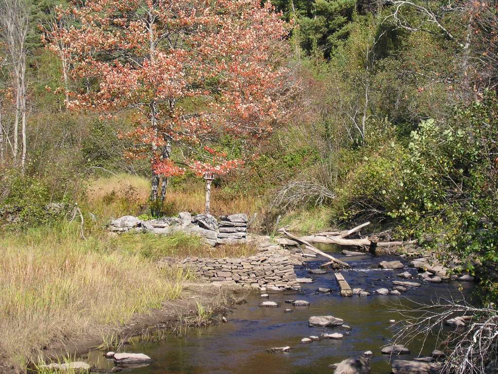
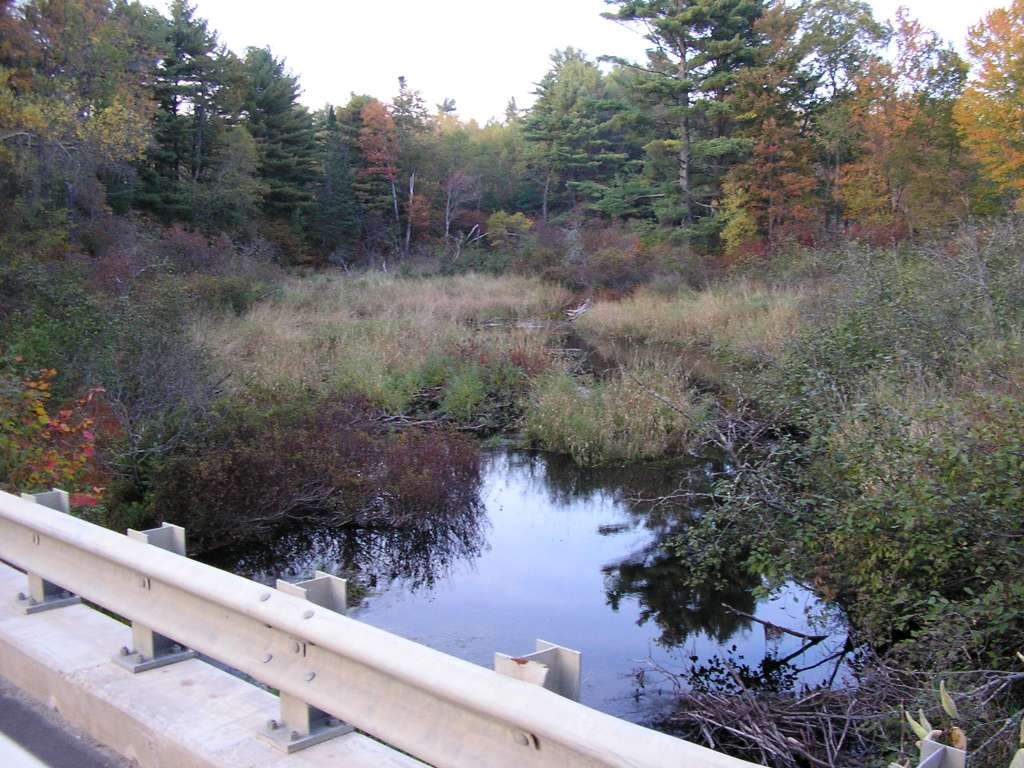
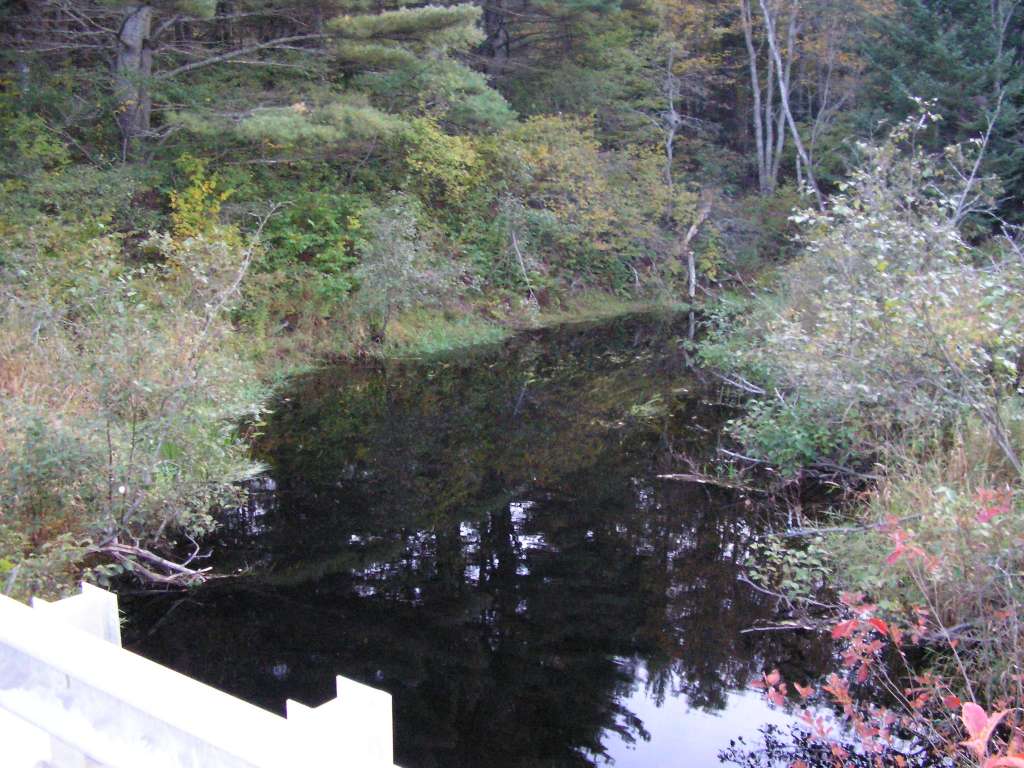
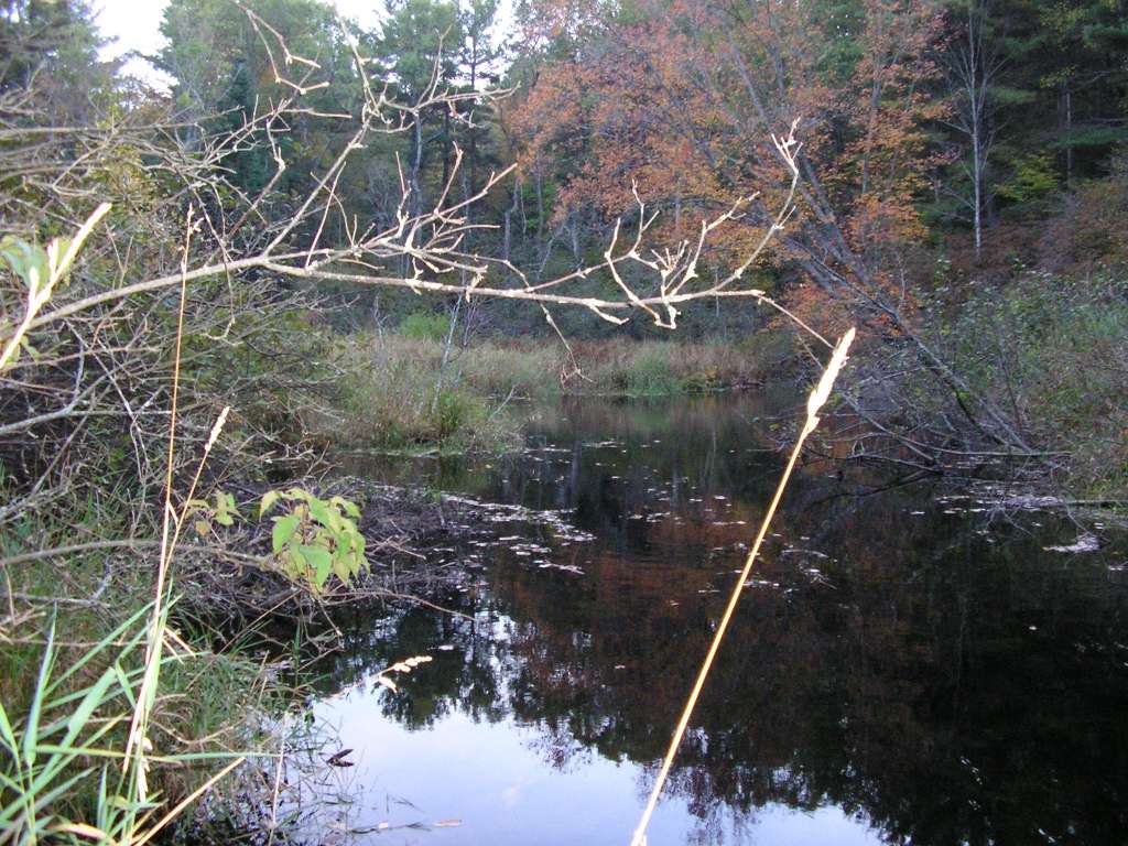
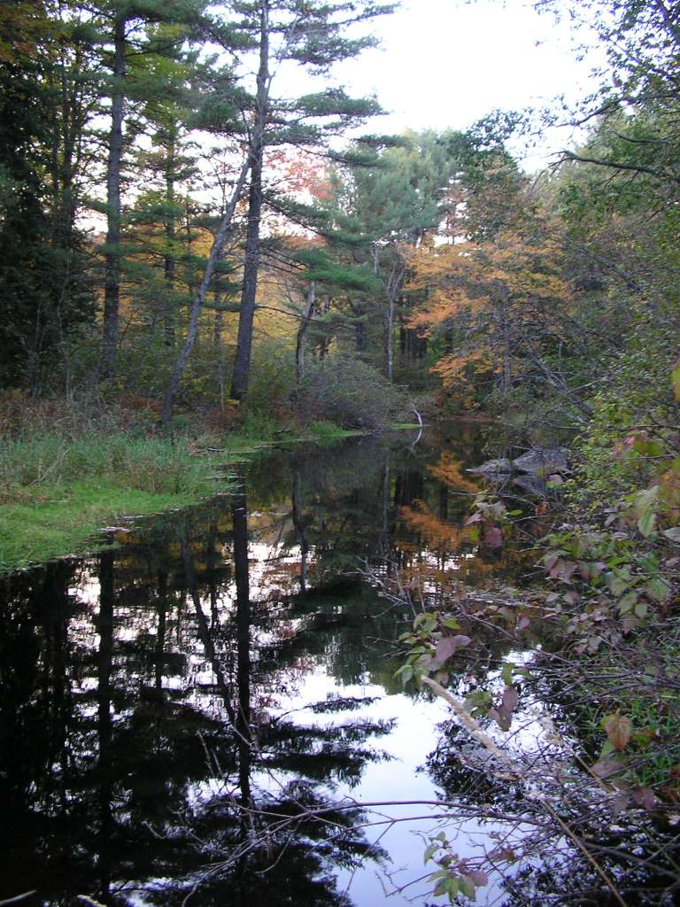
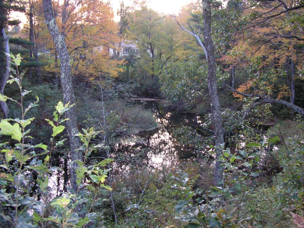
Photo Database Series Tour- Dyer River Stream Photos 2004

Click on any thumbnail to see a larger photo. For detailed information on these photos click here.

../sheep_ifr_04/sheep_2004-10-08_11-24-56.jpg + 171 KB   171 KB
This photograph shows the view looking south at where the Dyer River crosses under highway 194. This site is located in the Dyer River sub-basin. Photograph was taken by Eli Asarian on 10/8/2004.

../sheep_ifr_04/sheep_2004-10-08_11-25-13.jpg + 178 KB   178 KB
This photograph shows the view looking north upstream from Highway 194 where it crosses over the Dyer River. This site is located in the Dyer River sub-basin. Photograph was taken by Eli Asarian on 10/8/2004.

../sheep_ifr_04/sheep_2004-10-08_11-25-26.jpg + 150 KB   150 KB
This photograph shows the view looking south downstream from Highway 194 where it crosses over the Dyer River. This site is located in the Dyer River sub-basin. Photograph was taken by Eli Asarian on 10/8/2004.

../sheep_ifr_04/sheep_2004-10-08_11-25-42.jpg + 207 KB   207 KB
This photograph shows the view looking north upstream from Highway 194 where it crosses over the Dyer River. It is a close-up of one of the previous pictures showing an old dam. This site is located in the Dyer River sub-basin. Photograph was taken by Eli Asarian on 10/8/2004.

../sheep_ifr_04/sheep_2004-10-08_14-46-51.jpg + 121 KB   121 KB
This photograph shows the Dyer River looking upstream (northeast) from where it flows under Highway 215 (Clary Road). This site is located in the Dyer River sub-basin. Photograph was taken by Eli Asarian on 10/8/2004.

../sheep_ifr_04/sheep_2004-10-08_14-47-19.jpg + 124 KB   124 KB
This photograph shows the Dyer River looking downstream (southwest) from where it flows under Highway 215 (Clary Road). In this reach, the river is a slow-flowing "deadwater." This site is located in the Dyer River sub-basin. Photograph was taken by Eli Asarian on 10/8/2004.

../sheep_ifr_04/sheep_2004-10-08_14-48-56.jpg + 143 KB   143 KB
This photograph shows the Dyer River, taken several hundred meters downstream from where it flows under Highway 215 (Clary Road), looking upstream. In this reach, the river is a slow-flowing "deadwater." This site is located in the Dyer River sub-basin. Photograph was taken by Eli Asarian on 10/8/2004.

../sheep_ifr_04/sheep_2004-10-08_14-49-22.jpg + 154 KB   154 KB
This photograph shows the Dyer River, taken several hundred meters downstream from where it flows under Highway 215 (Clary Road), looking downstream. In this reach, the river is a slow-flowing "deadwater." This site is located in the Dyer River sub-basin. Photograph was taken by Eli Asarian on 10/8/2004.

../sheep_ifr_04/sheep_2004-10-08_14-50-20.jpg + 166 KB   166 KB
This photograph shows the Dyer River, taken several hundred meters downstream from where it flows under Highway 215 (Clary Road), looking downstream. In this reach, the river is a slow-flowing "deadwater." This site is located in the Dyer River sub-basin. Photograph was taken by Eli Asarian on 10/8/2004.


  www.krisweb.com