| Area |
Basin-wide/Regional |
| Topic |
WQ: Chlorophyll_a in Sheepscot Lakes 1979-2002 |
To view a more detailed version of this map click
here
|
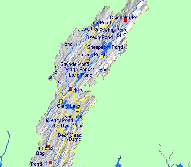
This Map shows lake locations and dam heights in the Sheepscot basin. The water quality of some of these lakes are sampled as part of the Maine
Volunteer Lake Monitoring Program. Scale = 1:315,151 .
|
|
|
 |
 |
To view metadata about a map layer, click on a link in the table below.
| Name of Layer in Map Legend | Metadata File Name |
|---|
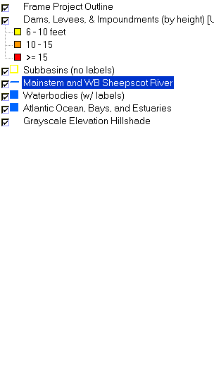
| Frame Project Outline | Unavailable |
| Dams, Levees, & Impoundments (by height) [US ACE] | impounds.shp.txt |
| Subbasins (no labels) | subbasins.shp.txt |
| Mainstem and WB Sheepscot River | Unavailable |
| Waterbodies (w/ labels) | sheeppnd.shp.txt |
| Atlantic Ocean, Bays, and Estuaries | Unavailable |
| Grayscale Elevation Hillshade | grayshade1_lt.tif.txt |
If you obtain KRIS on a CD and install it on your hard drive as a desktop program, you will have access to increased map capabilities such as zooming in/out, turning layers on/off, adding layers and changing legends.
