| Area |
Mainstem Sheepscot |
| Topic |
Fish: Electrofishing - Brook Trout Length at Alna Stream 2001-2003 |
To view a more detailed version of this map click
here
|
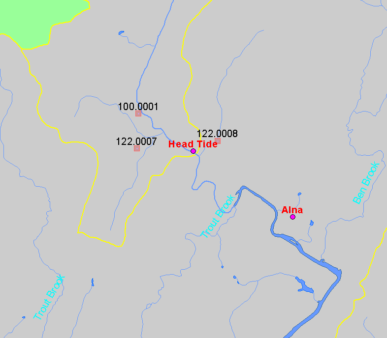
This map shows the location of Alna Stream electrofishing sampling station (shown on map as "100.0001"). The point appears to be somewhat inaccurate
and the true location is likely along the unnamed stream several hundred meters south of where the point appears on the map. Also displayed in the map
are populated places, 1:24,000 streams and lakes. Electrofishing sites are labeled by LOCATIONID. Data were collected by Maine Department of Inland
Fisheries and Wildlife.
|
|
|
 |
 |
To view metadata about a map layer, click on a link in the table below.
If you obtain KRIS on a CD and install it on your hard drive as a desktop program, you will have access to increased map capabilities such as zooming in/out, turning layers on/off, adding layers and changing legends.
