| Area |
Mainstem Sheepscot |
| Topic |
Fish: Electrofishing - Species Captured in Sheepscot R at H Tide 2003 |
To view a more detailed version of this map click
here
|
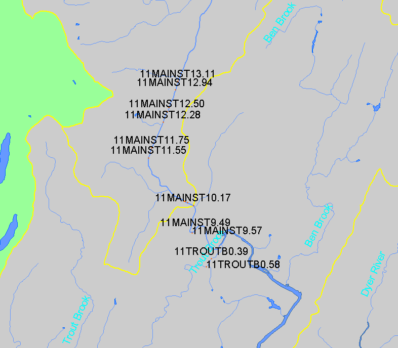
This map shows the location of electrofishing sampling conducted in the lower Mainstem Sheepscot sub-basin and surrounding areas, displayed along with
1:24,000 streams and lakes. Sites are color-coded and size-coded by the number of times each site has been sampled, with the most commonly sampled
sites shown here as red and large. Data were collected by Maine Atlantic Salmon Commission (ASC), and NOAA Fisheries, and U.S. Fish and Wildlife
Service crews. Data were compiled into a single database by the ASC.
|
|
|
 |
 |
To view metadata about a map layer, click on a link in the table below.
If you obtain KRIS on a CD and install it on your hard drive as a desktop program, you will have access to increased map capabilities such as zooming in/out, turning layers on/off, adding layers and changing legends.
