| Area |
Mainstem Sheepscot |
| Topic |
Temperature: Min, Max, Ave Dearborn Brook 2001 |
To view a more detailed version of this map click
here
|
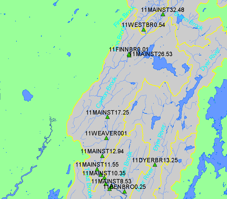
This map shows the location of temperature monitoring stations in the mainstem Sheepscot sub-basin, displayed along with 1:24,000 streams and lakes.
Temperature data were collected by the Sheepscot River Watershed Council, the Sheepscot Valley Conservation Association, Maine Maine Atlantic
Salmon Commission (ASC), and NOAA Fisheries. The master database of Sheepscot temperature data is maintained by the ASC.
|
|
|
 |
 |
To view metadata about a map layer, click on a link in the table below.
If you obtain KRIS on a CD and install it on your hard drive as a desktop program, you will have access to increased map capabilities such as zooming in/out, turning layers on/off, adding layers and changing legends.
