| Area |
Mainstem Sheepscot |
| Topic |
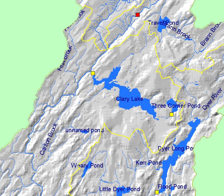
WQ: Total Phosphorus in Clary Lake |
To view a more detailed version of this map click
here
|
This Map shows lake locations and dam heights in the Mainstem Sheepscot sub-basin. The water quality of some of these lakes are sampled as part of
the Maine Volunteer Lake Monitoring Program. Scale = 1:78,318 .
|
|
|
 |
 |
To view metadata about a map layer, click on a link in the table below.
If you obtain KRIS on a CD and install it on your hard drive as a desktop program, you will have access to increased map capabilities such as zooming in/out, turning layers on/off, adding layers and changing legends.
