| Area |
Mainstem Sheepscot |
| Topic |
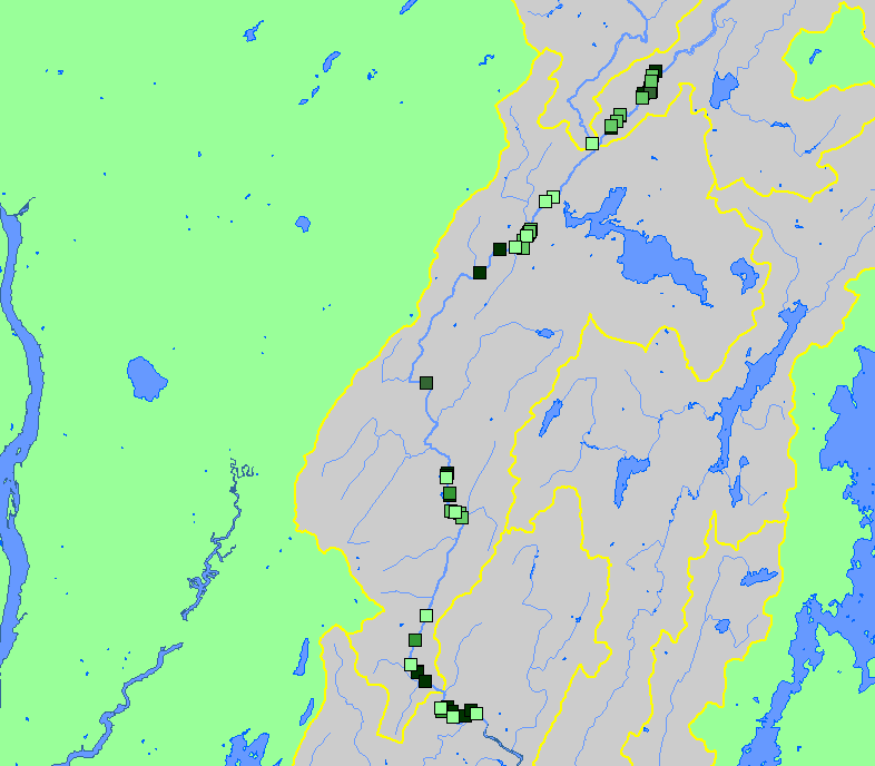
Fish: Atl. Salmon Redds in Mainstem Sheepscot by Reach-Year 1984-2002 |
To view a more detailed version of this map click
here
|
This map shows the location of redds observed in the Mainstem Sheepscot sub-basin in spawner surveys by the Maine Atlantic Salmon Commission
during the years 1984-2002. The master database of Sheepscot redd locations is maintained by the ASC. The shapefile displayed in this map contributed to
KRIS by the U.S. Fish and Wildlife Service. It was derived from an older version of the ASC database than the one included in the KRIS charts, chart
tables, and source tables.
|
|
|
 |
 |
To view metadata about a map layer, click on a link in the table below.
If you obtain KRIS on a CD and install it on your hard drive as a desktop program, you will have access to increased map capabilities such as zooming in/out, turning layers on/off, adding layers and changing legends.
